Elevation of Kk Rd, Waterloo, IL, USA
Location: United States > Illinois > Monroe County > Waterloo >
Longitude: -90.117904
Latitude: 38.267943
Elevation: 203m / 666feet
Barometric Pressure: 99KPa
Elevation Map:
Satellite Map:
Related Photos:
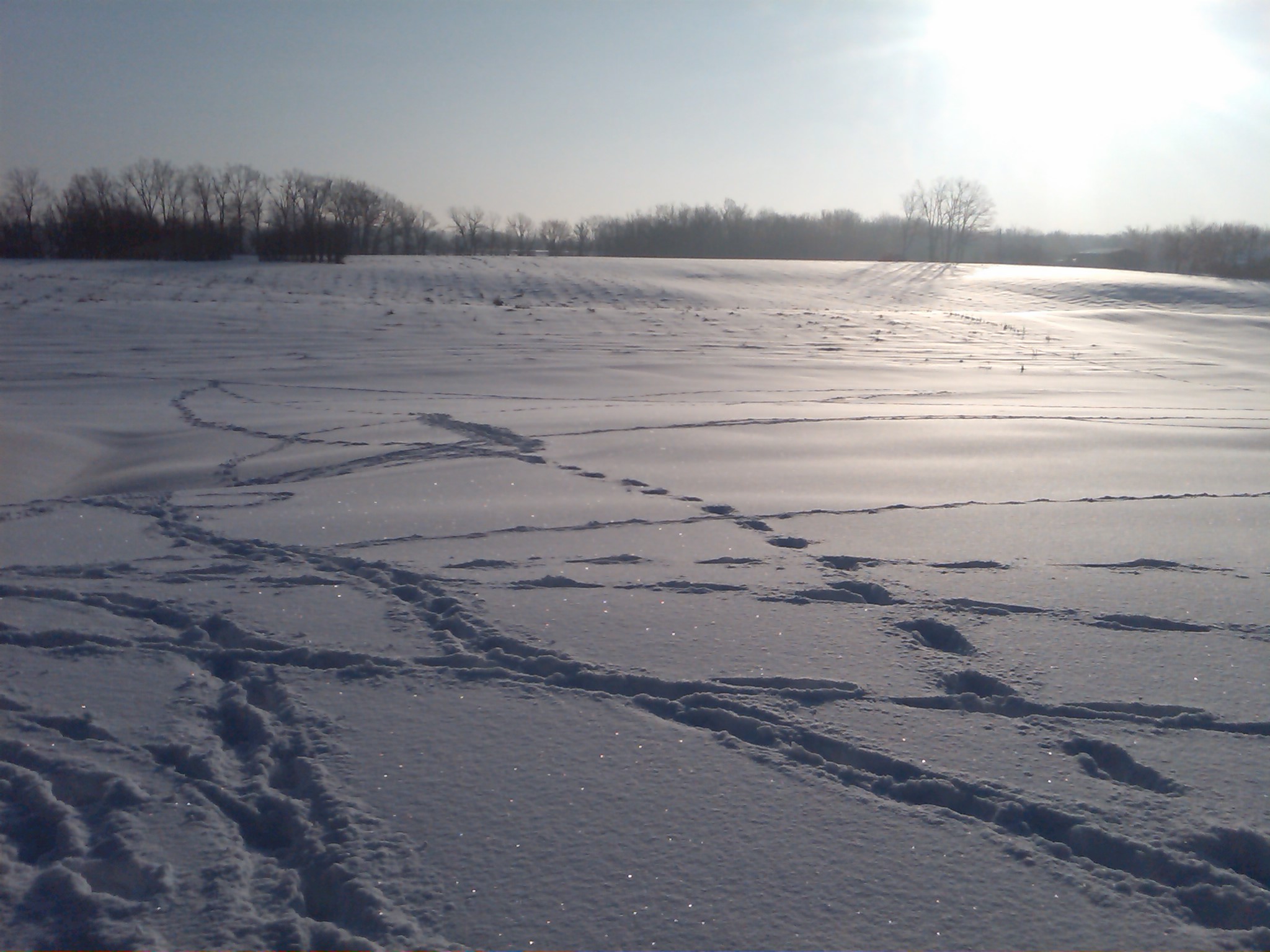
Snow view 1
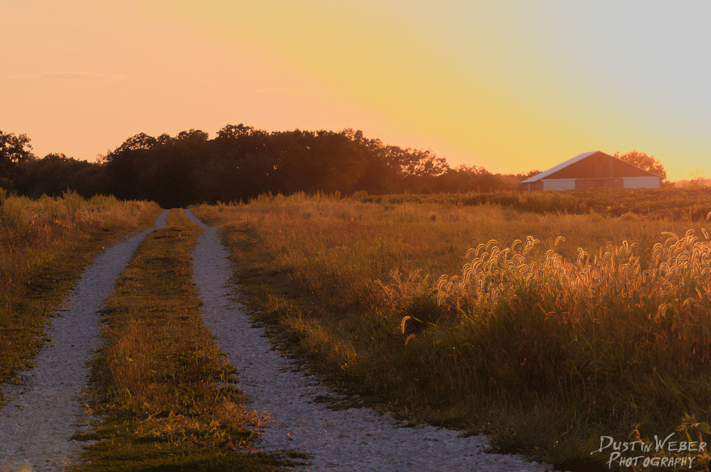
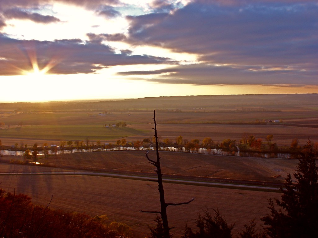
Sunset Road

The view from my office for the day. Tracking for the new @bethbombara rekkid w/@kithamon @caribou32 and @keggers5000 #drums #gigs #onthejob
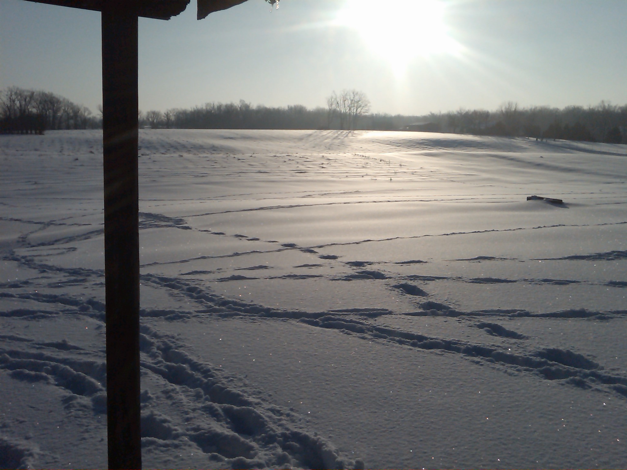
Snow view 2

S. Ill Trip 192

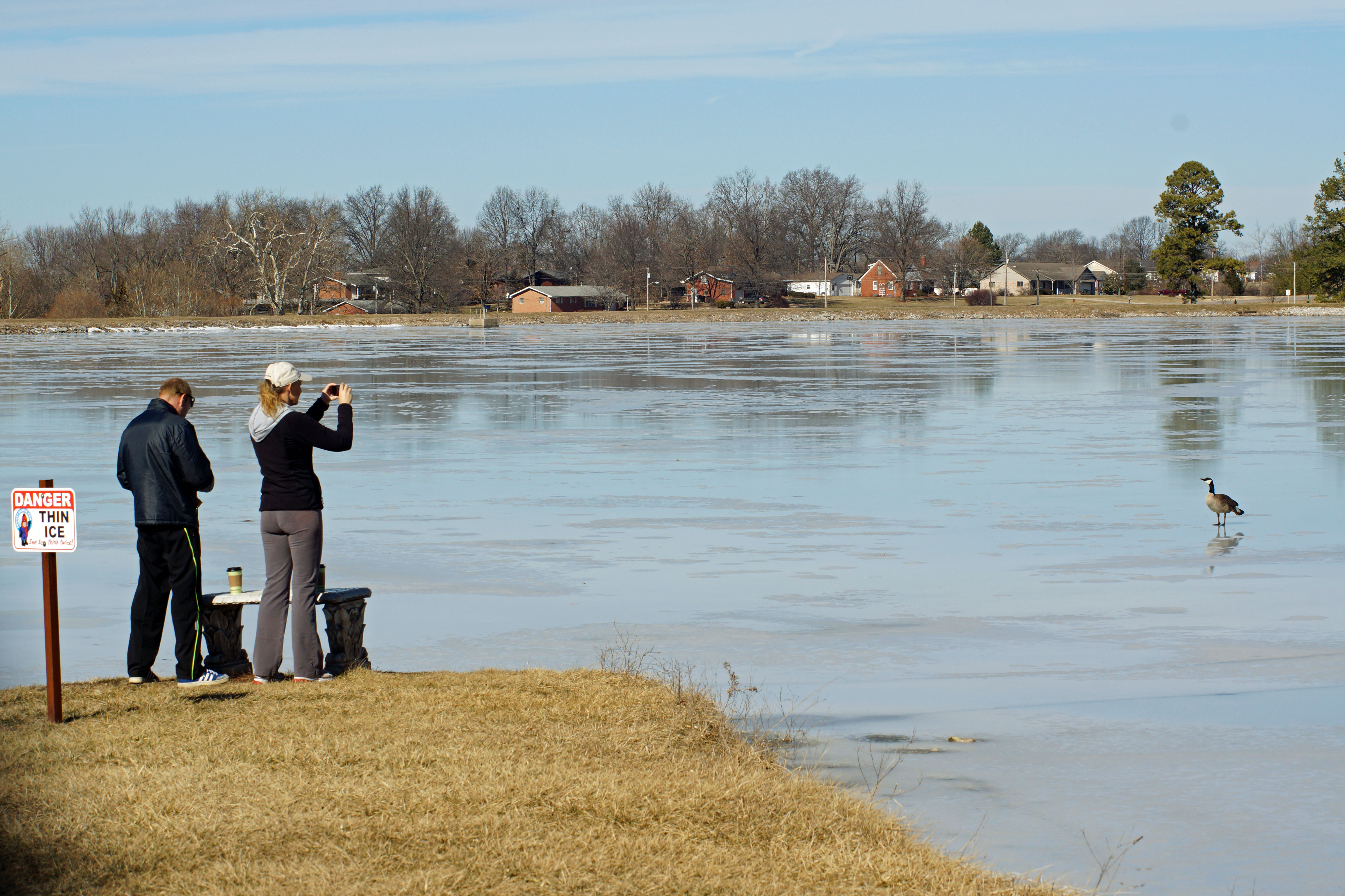
EMOSTL 26
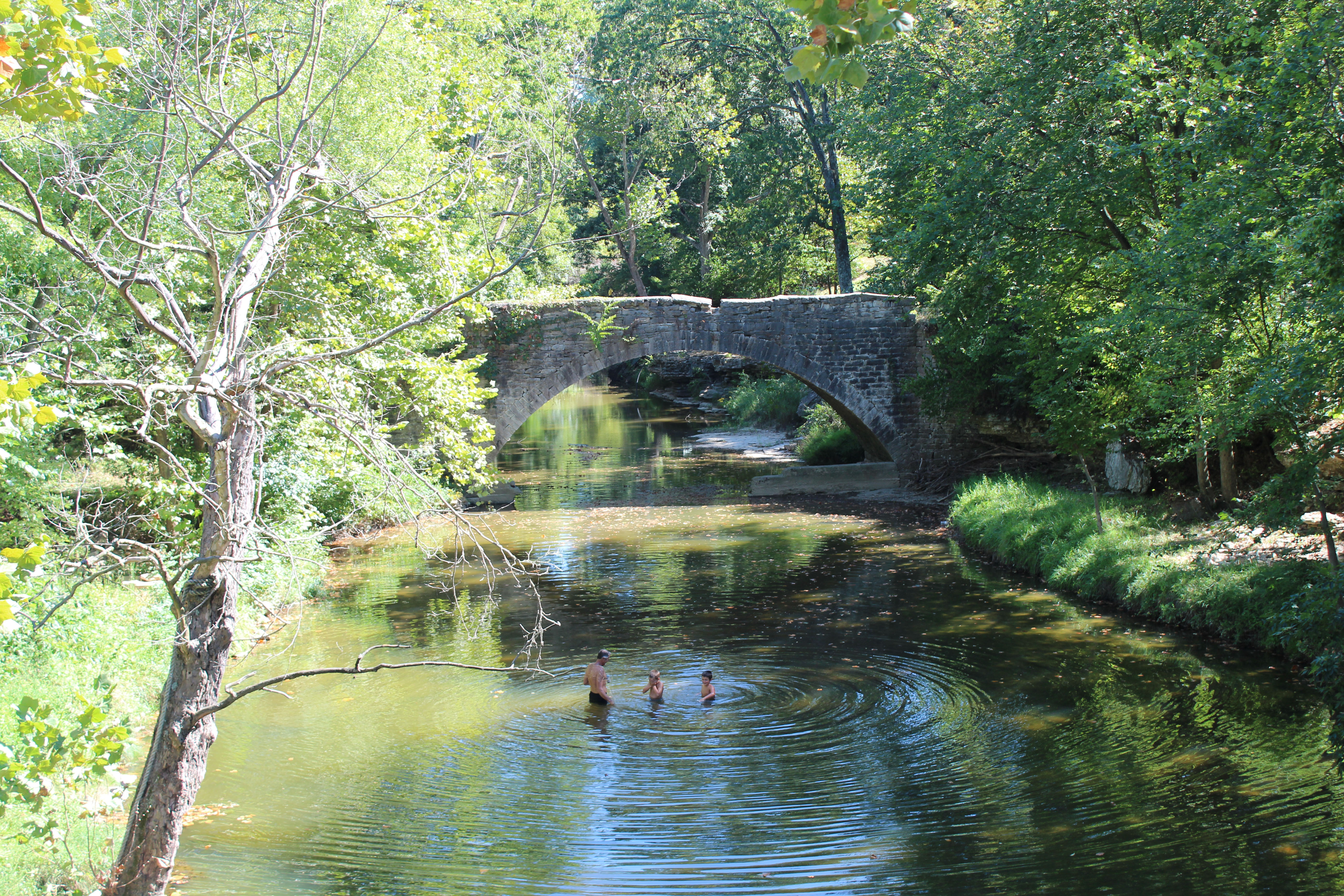
Fountain Creek Bridge
Fading away

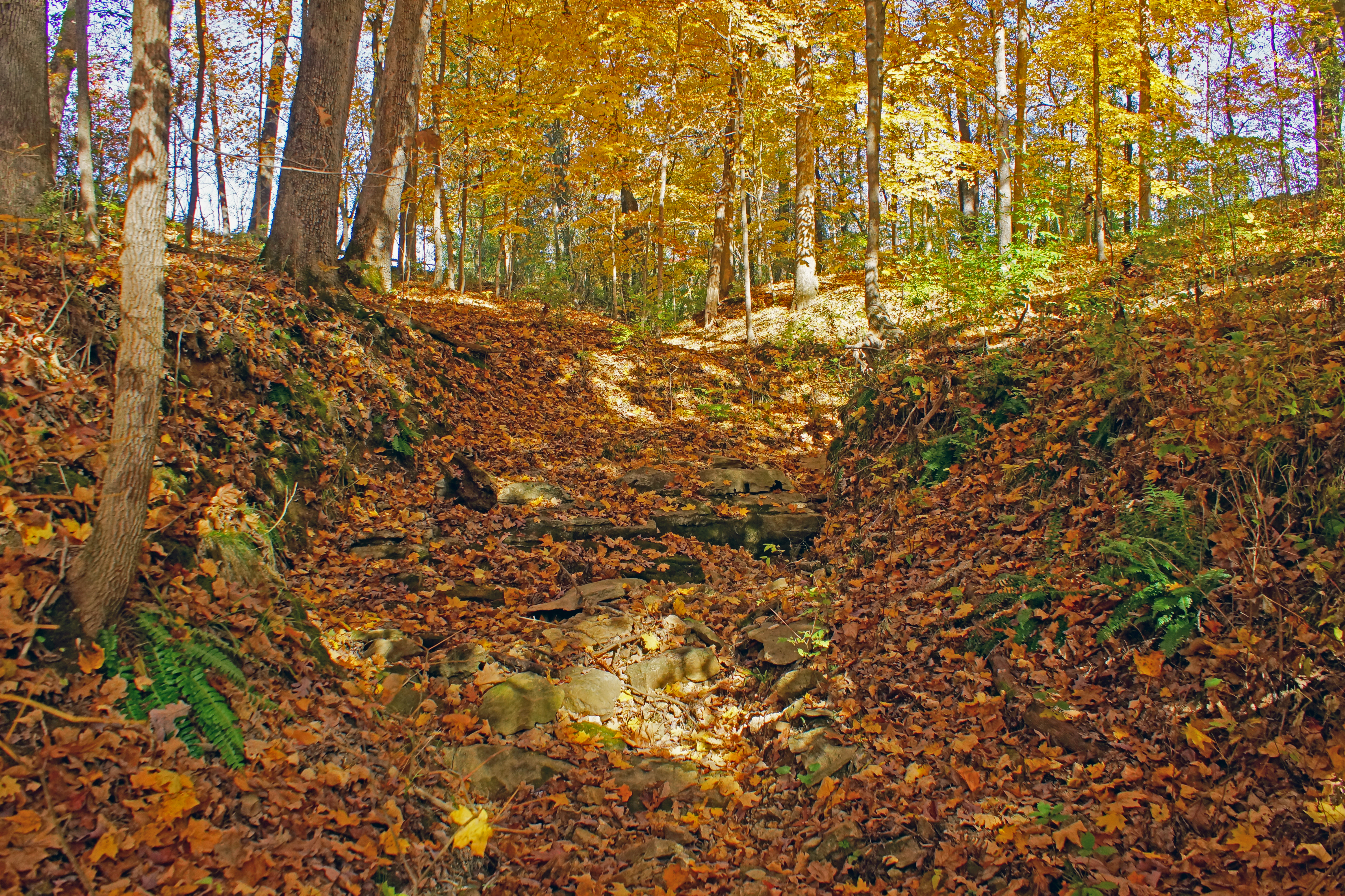
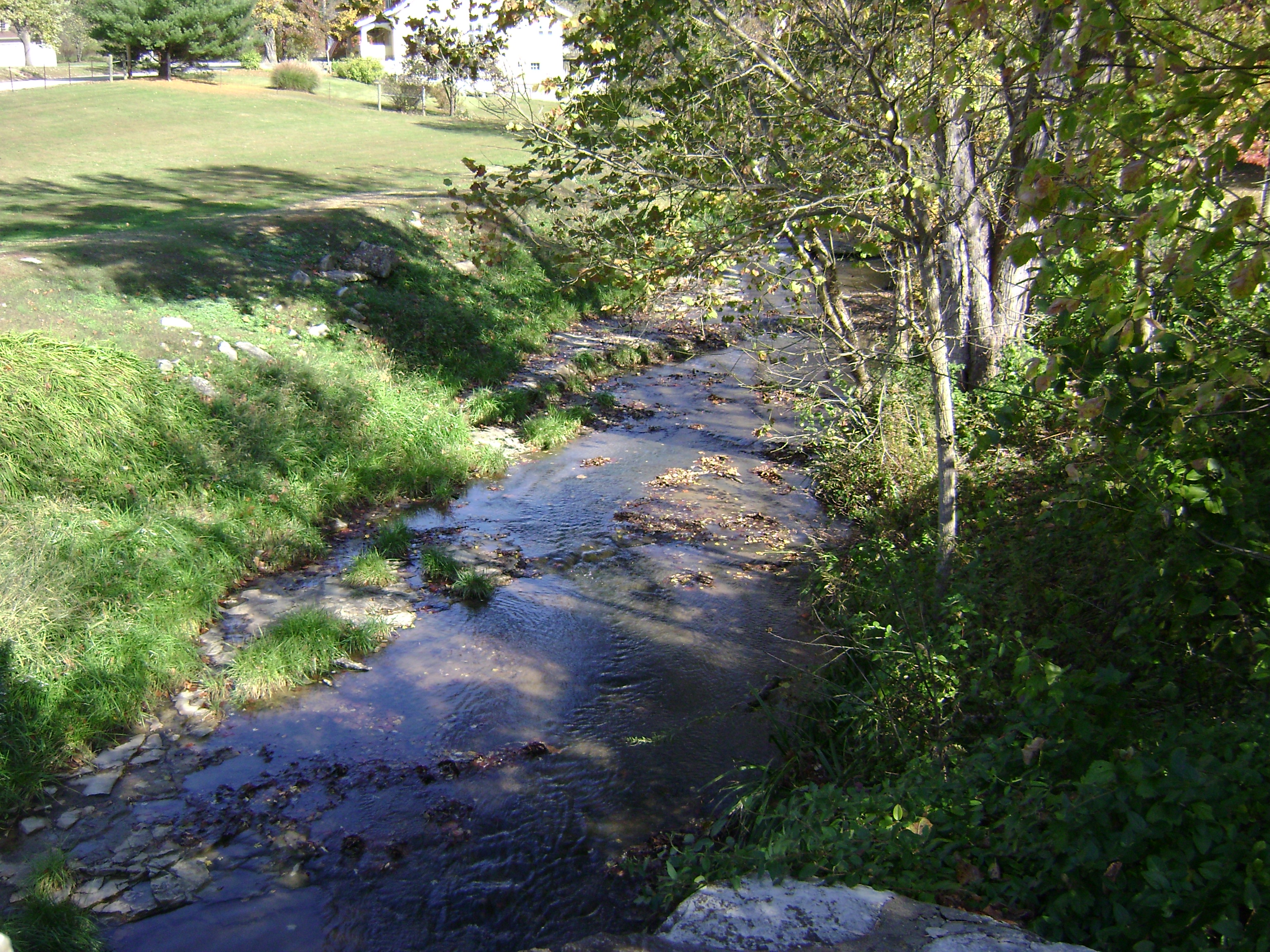
Creek 2

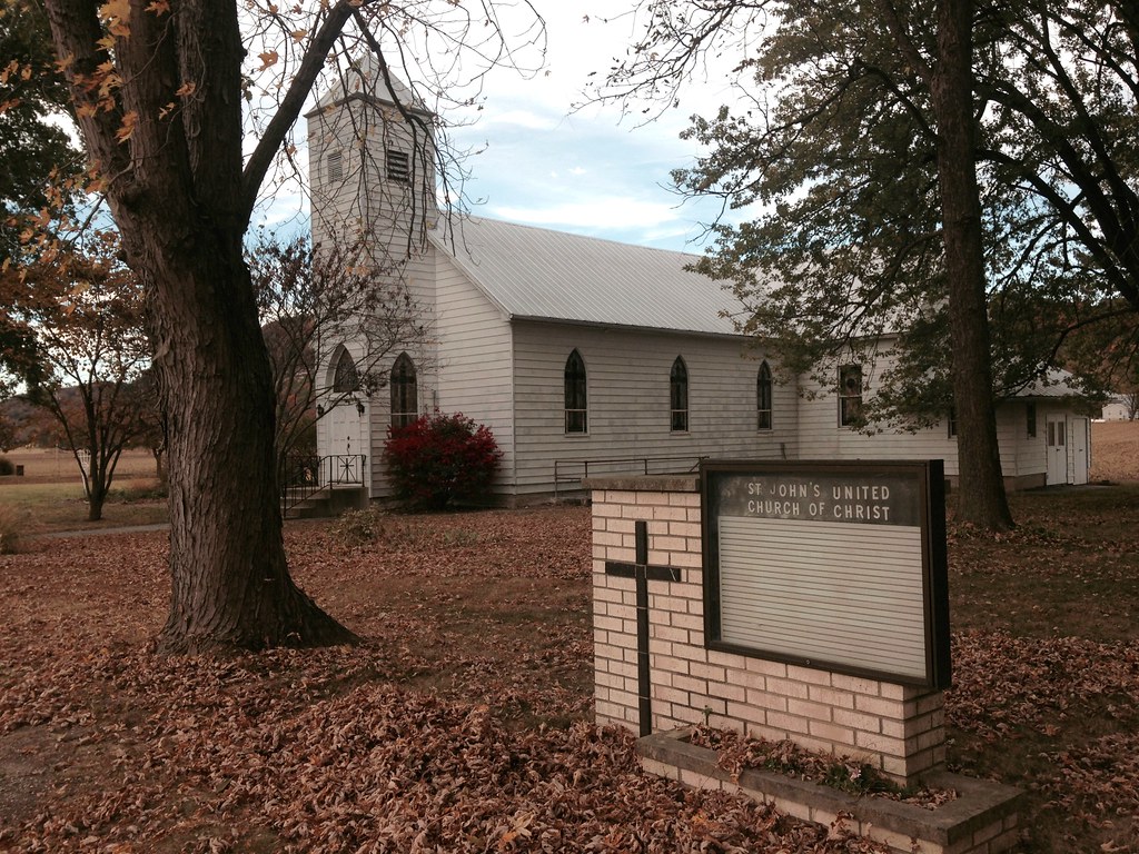
Waterloo Waterworks
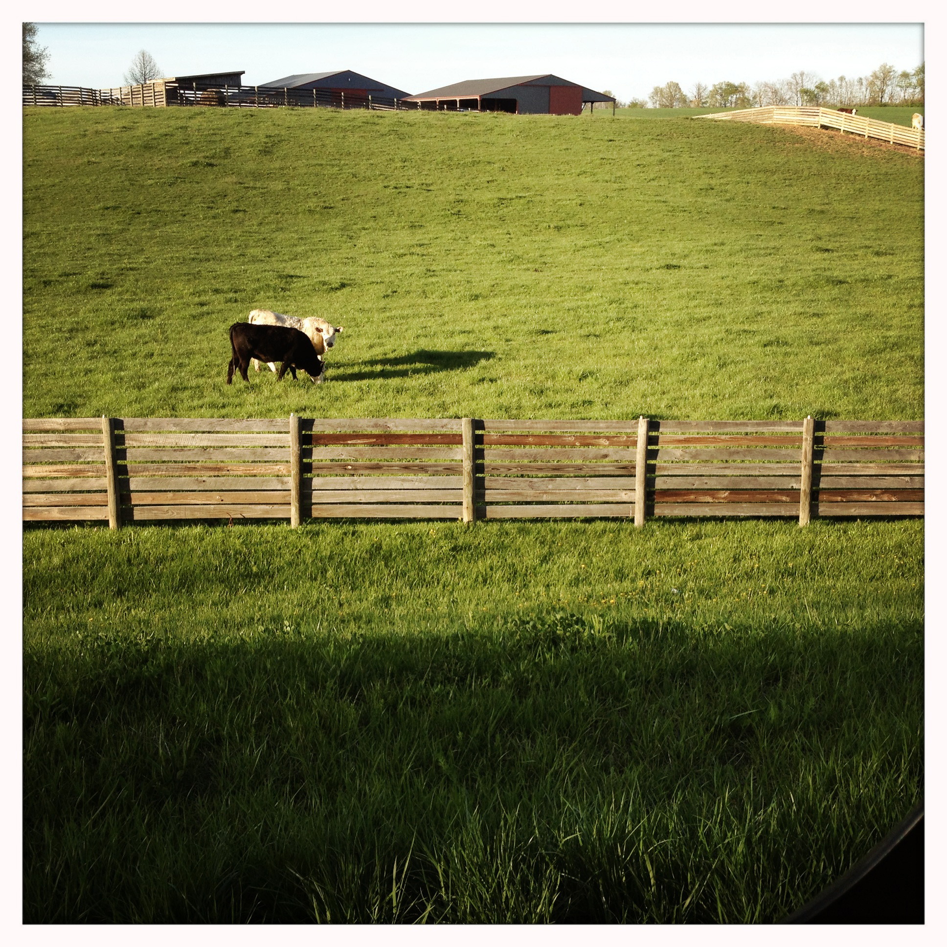
I, too, like cows
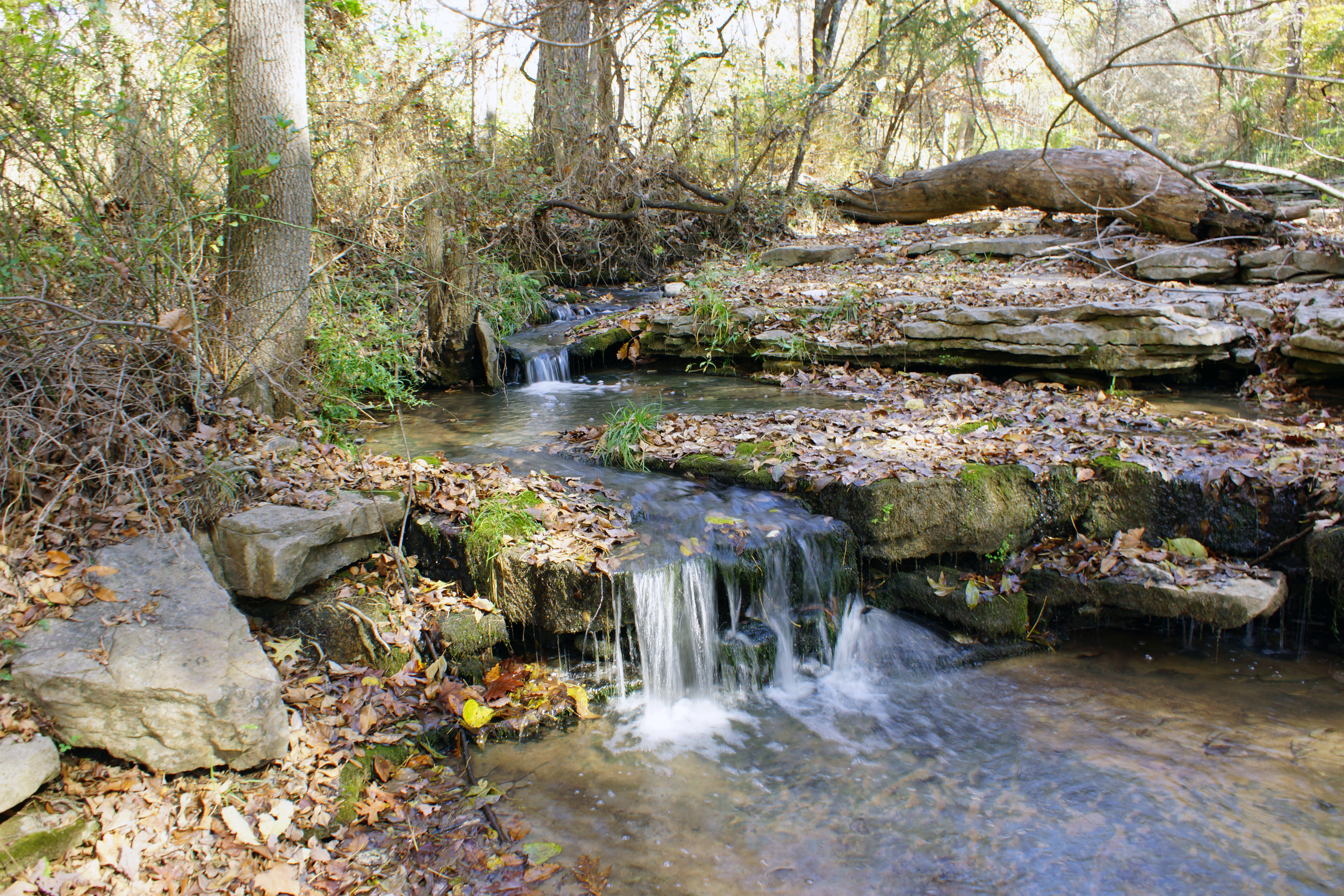
Creek 1
Pose for your portrait
S. Ill Trip 014

Midwest sunset sky
Existential Sermon

Sunset July 7th
Hit by lightning
Autos through S. Fults
Fults Nature Preserve
S. Ill Trip 151
Topographic Map of Kk Rd, Waterloo, IL, USA
Find elevation by address:

Places near Kk Rd, Waterloo, IL, USA:
5667 Il-3
5163 Il-3
Kaskaskia Rd, Waterloo, IL, USA
Monroe County
10 Mary Ct
100 S Main St
Waterloo
Waterloo Rd, Waterloo, IL, USA
Flower Street
150 Westview Pl
711 Mahala Dr
1436 Gilmore Lake Rd
3520 Keim Rd
Kk Rd, Waterloo, IL, USA
1330 Stone St
Vv Rd, Red Bud, IL, USA
130 Main St
222 Church St
Fults
Ivy Rd, Fults, IL, USA
Recent Searches:
- Elevation of Slanický ostrov, 01 Námestovo, Slovakia
- Elevation of Spaceport America, Co Rd A, Truth or Consequences, NM, USA
- Elevation of Warwick, RI, USA
- Elevation of Fern Rd, Whitmore, CA, USA
- Elevation of 62 Abbey St, Marshfield, MA, USA
- Elevation of Fernwood, Bradenton, FL, USA
- Elevation of Felindre, Swansea SA5 7LU, UK
- Elevation of Leyte Industrial Development Estate, Isabel, Leyte, Philippines
- Elevation of W Granada St, Tampa, FL, USA
- Elevation of Pykes Down, Ivybridge PL21 0BY, UK