Elevation of Kaskaskia Rd, Waterloo, IL, USA
Location: United States > Illinois > Monroe County > Waterloo >
Longitude: -90.154490
Latitude: 38.231346
Elevation: 213m / 699feet
Barometric Pressure: 99KPa
Elevation Map:
Satellite Map:
Related Photos:
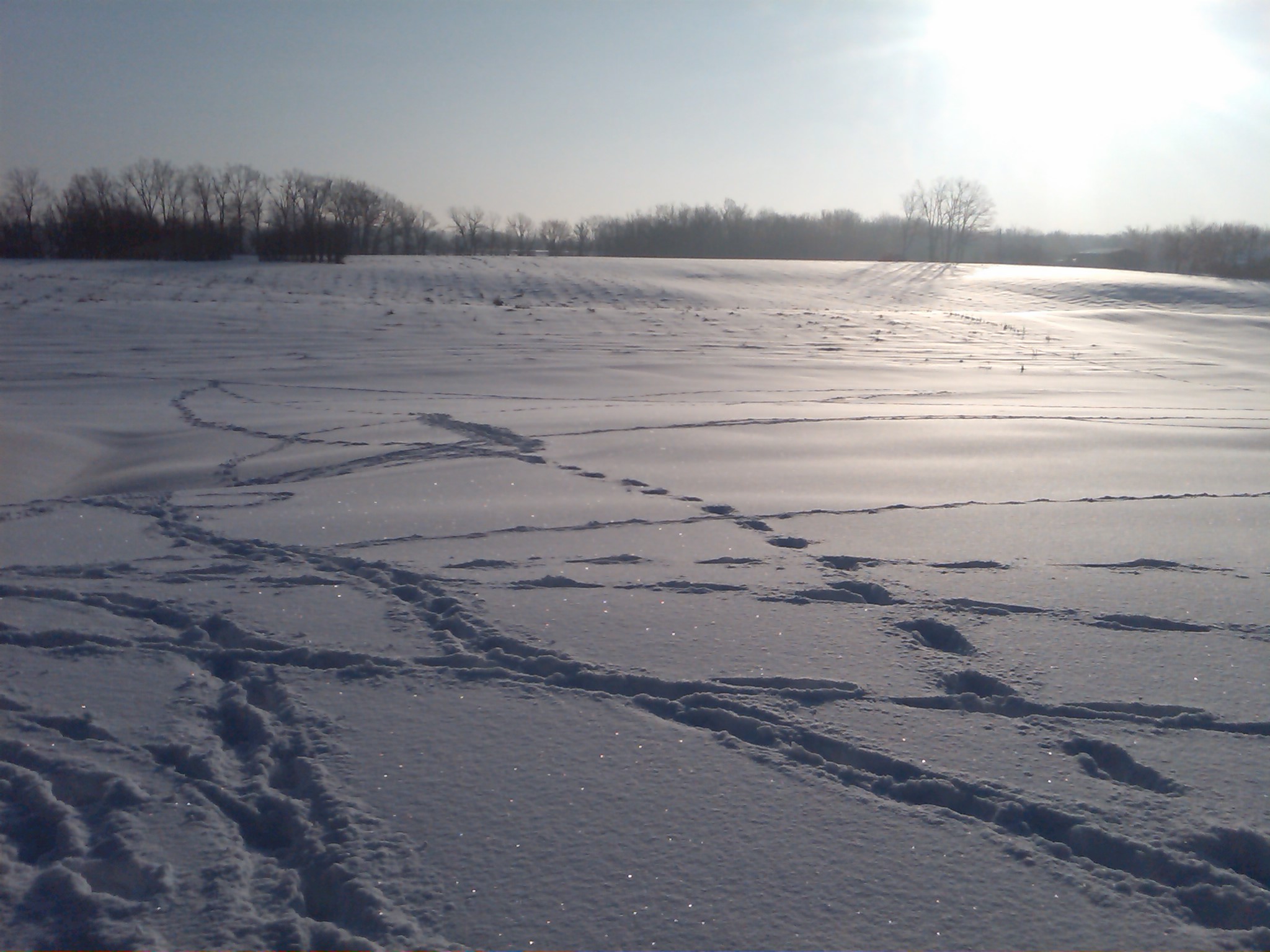
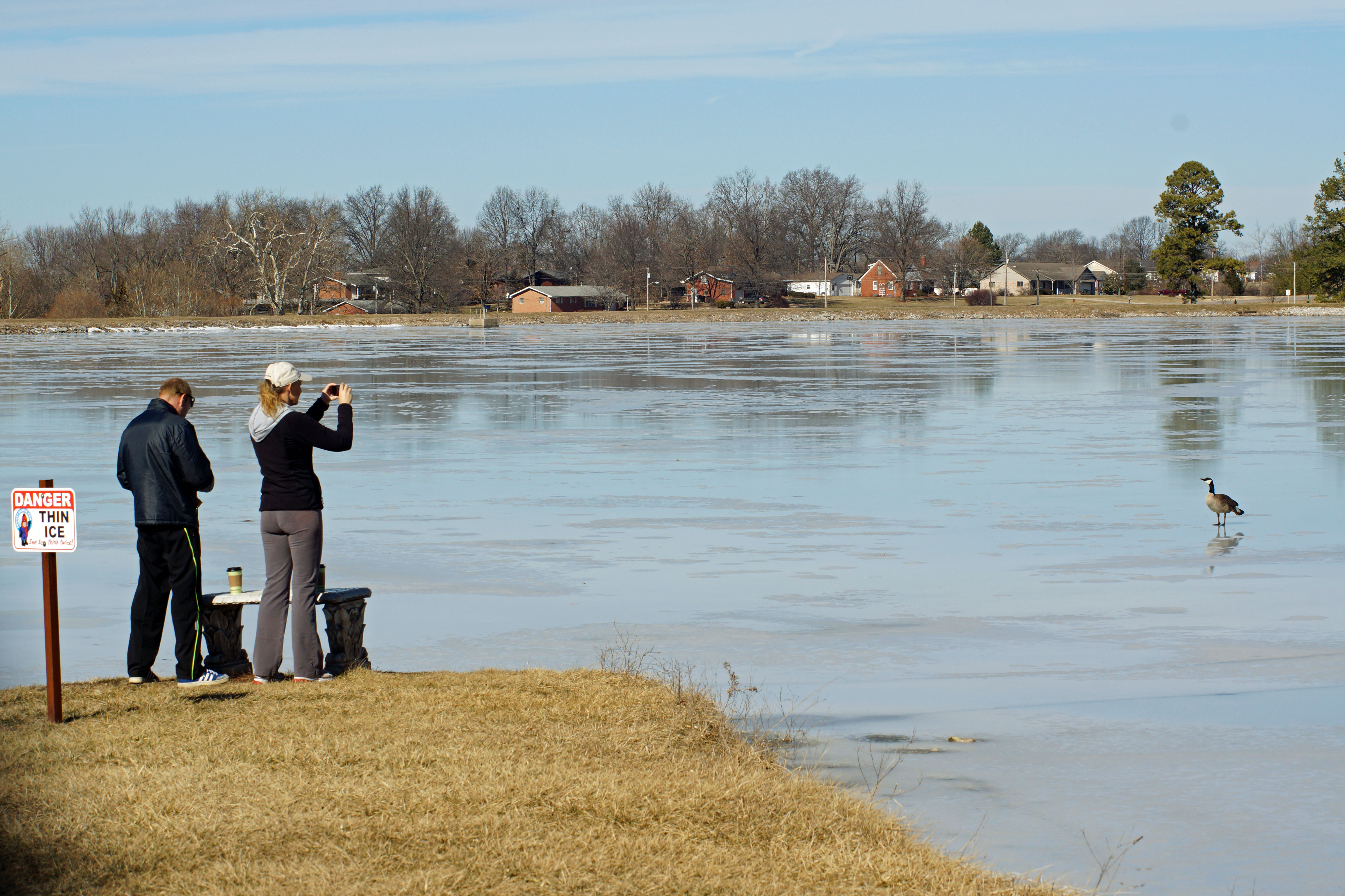
Snow view 1
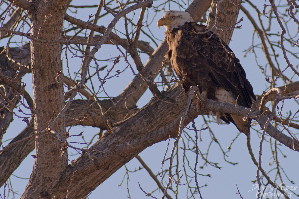
Last One Standing
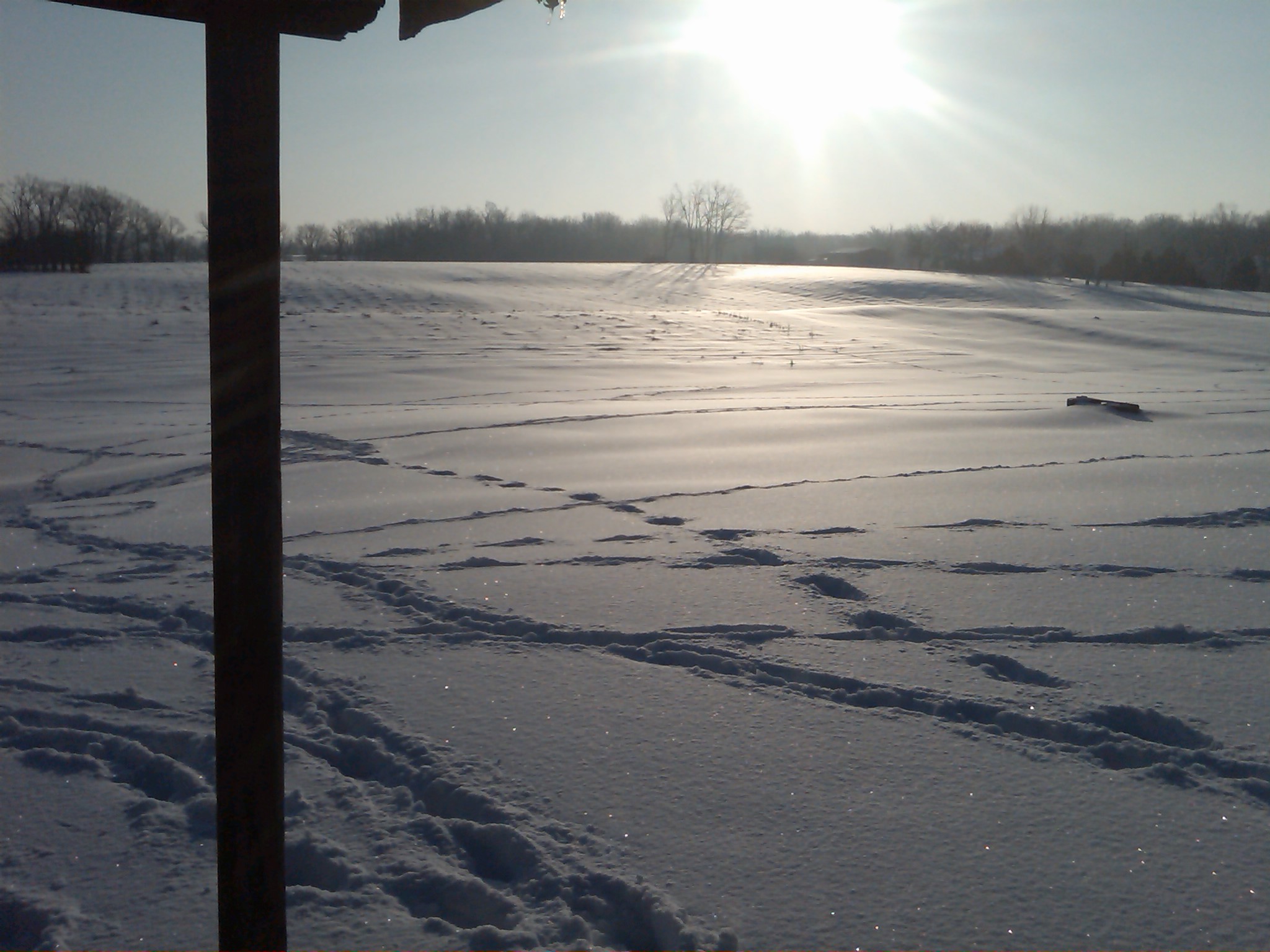
Snow view 2

S. Ill Trip 192
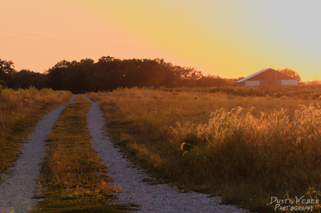
Sunset Road

Fort De Chartres-view from gatehouse 01

Fort De Chartres-view from gatehouse 02 lc

Red sky morning fog

Sunset storms
Fading away

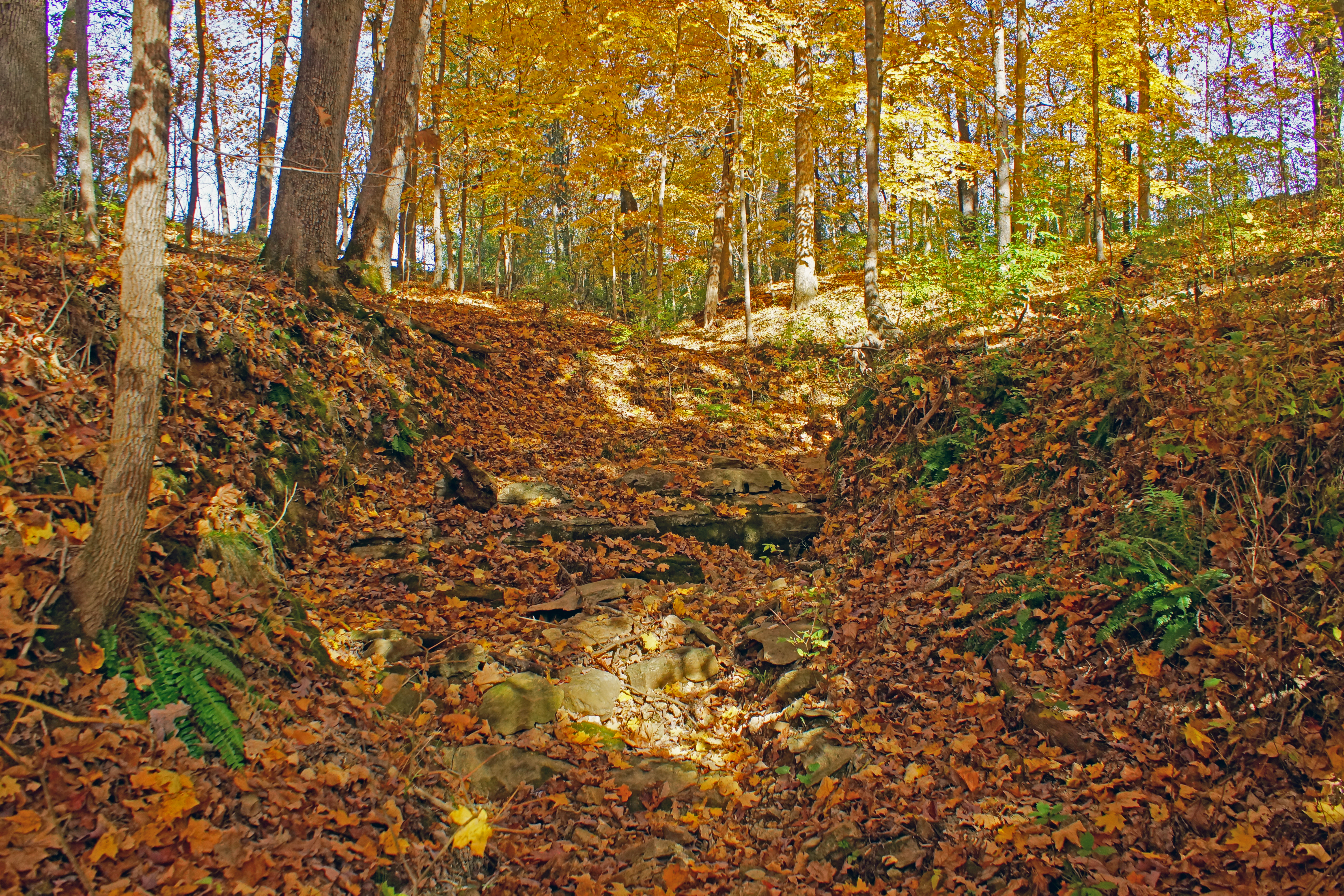
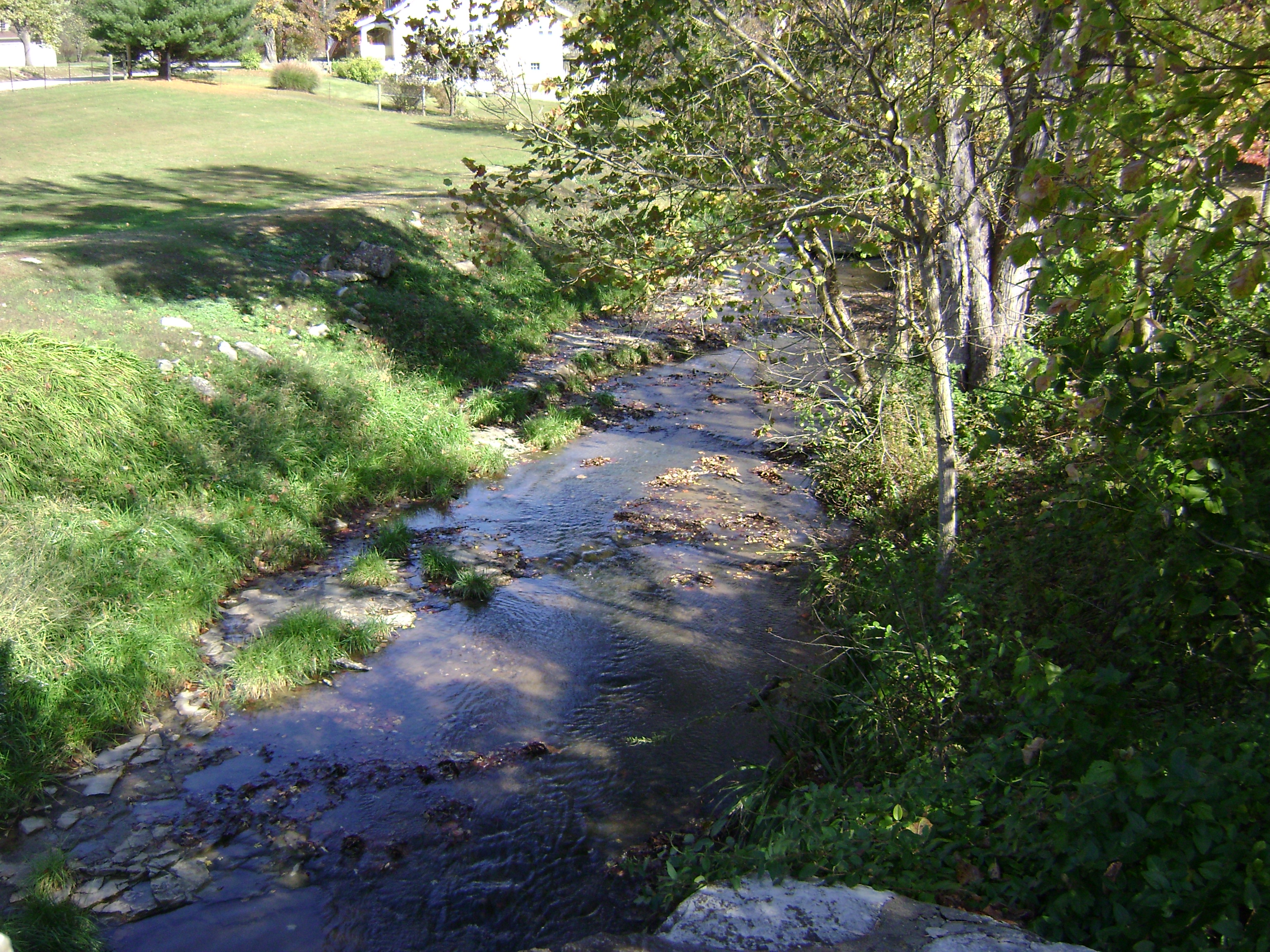
Creek 2

EMOSTL 26
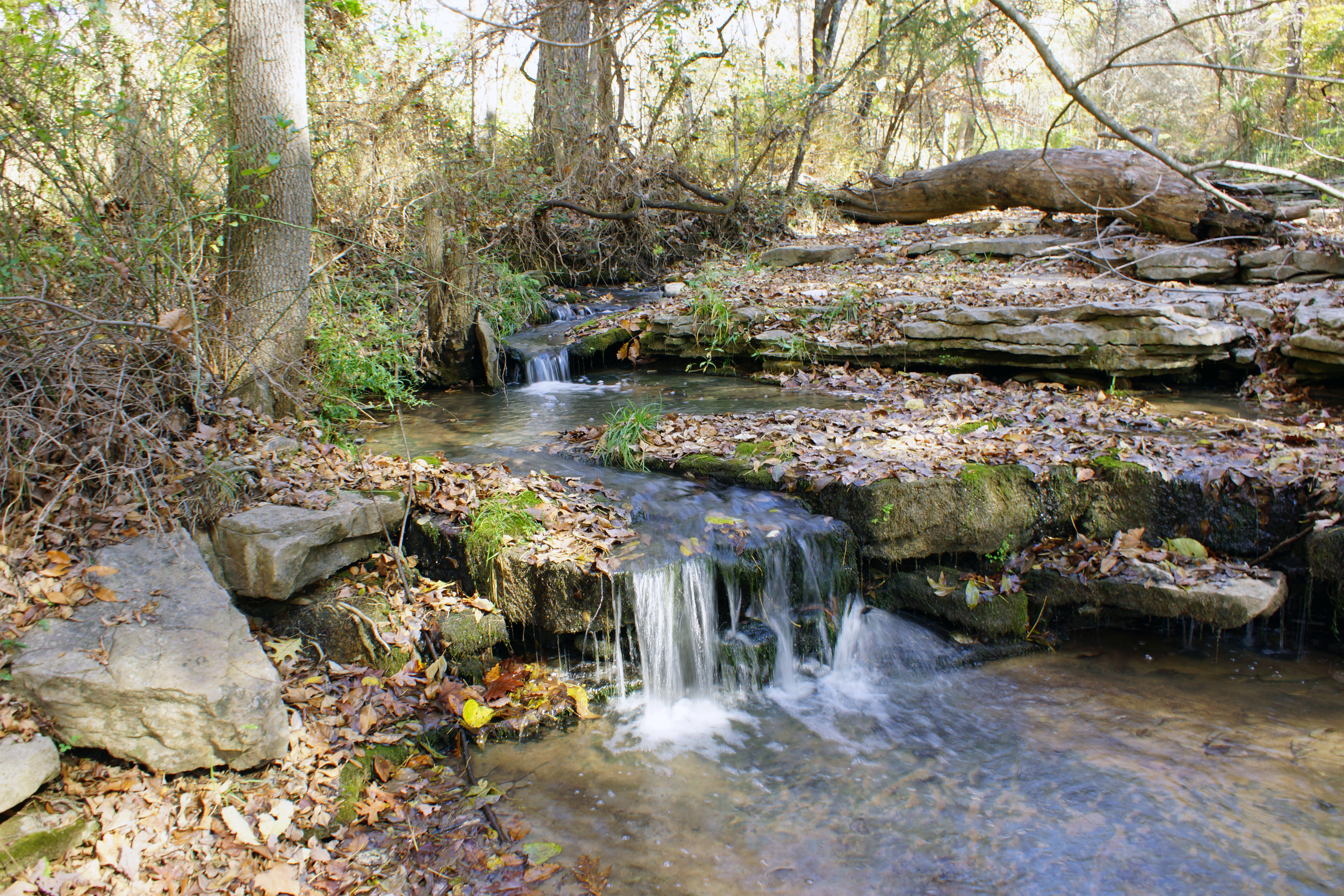
Creek 1

QASLI at Harris Road

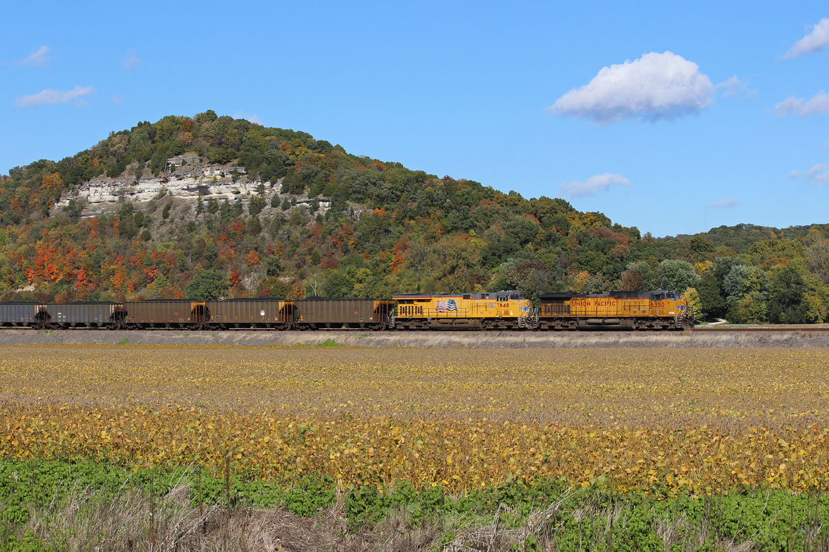
QASLI 19 Through the Illinois Farmland
Pose for your portrait
S. Ill Trip 014
CWETS1 16 at Val

Osborne Chute Anchorage
40s in the Afternoon
Existential Sermon

Sunset on the other end of the sky

MASEW 25

CNAIM9 13

AEGAS 16
Waterloo Waterworks
Topographic Map of Kaskaskia Rd, Waterloo, IL, USA
Find elevation by address:

Places near Kaskaskia Rd, Waterloo, IL, USA:
Kk Rd, Waterloo, IL, USA
Monroe County
5667 Il-3
5163 Il-3
130 Main St
222 Church St
Fults
Ivy Rd, Fults, IL, USA
10 Mary Ct
Kk Rd, Waterloo, IL, USA
100 S Main St
Waterloo
Waterloo Rd, Waterloo, IL, USA
Flower Street
150 Westview Pl
Stringtown Rd, Fults, IL, USA
Kk Rd, Waterloo, IL, USA
Stringtown Rd, Prairie Du Rocher, IL, USA
Chalfin Bridge Rd, Fults, IL, USA
711 Mahala Dr
Recent Searches:
- Elevation of Kreuzburger Weg 13, Düsseldorf, Germany
- Elevation of Gateway Blvd SE, Canton, OH, USA
- Elevation of East W.T. Harris Boulevard, E W.T. Harris Blvd, Charlotte, NC, USA
- Elevation of West Sugar Creek, Charlotte, NC, USA
- Elevation of Wayland, NY, USA
- Elevation of Steadfast Ct, Daphne, AL, USA
- Elevation of Lagasgasan, X+CQH, Tiaong, Quezon, Philippines
- Elevation of Rojo Ct, Atascadero, CA, USA
- Elevation of Flagstaff Drive, Flagstaff Dr, North Carolina, USA
- Elevation of Avery Ln, Lakeland, FL, USA