Elevation of Coach Stop Rd, Columbia, IL, USA
Location: United States > Illinois > Monroe County > Columbia >
Longitude: -90.174161
Latitude: 38.405973
Elevation: 212m / 696feet
Barometric Pressure: 99KPa
Elevation Map:
Satellite Map:
Related Photos:
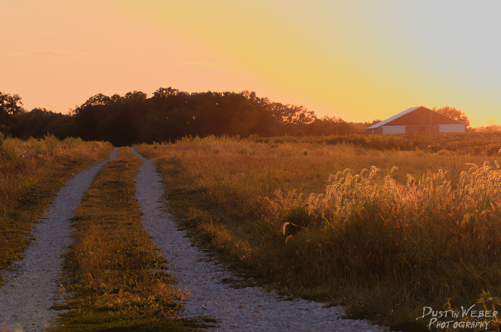
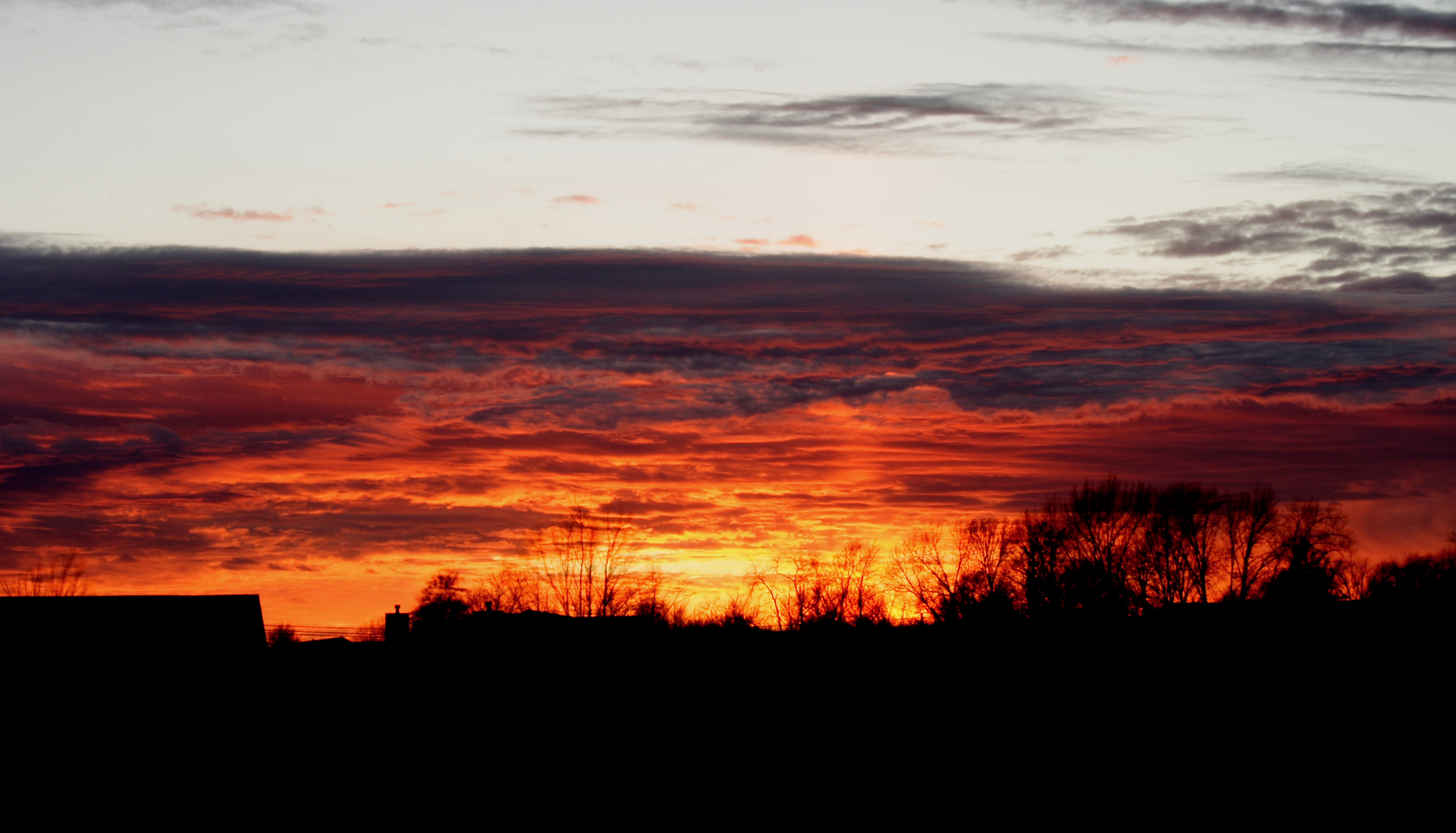
Sunset Road
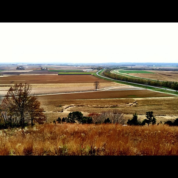
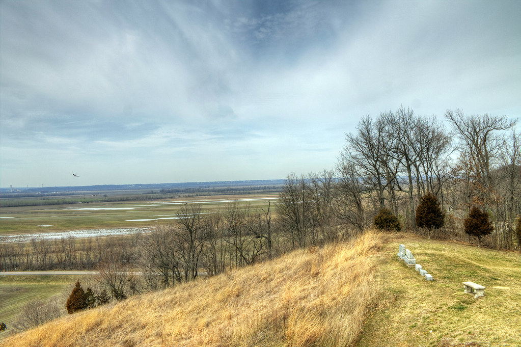
View from the top!
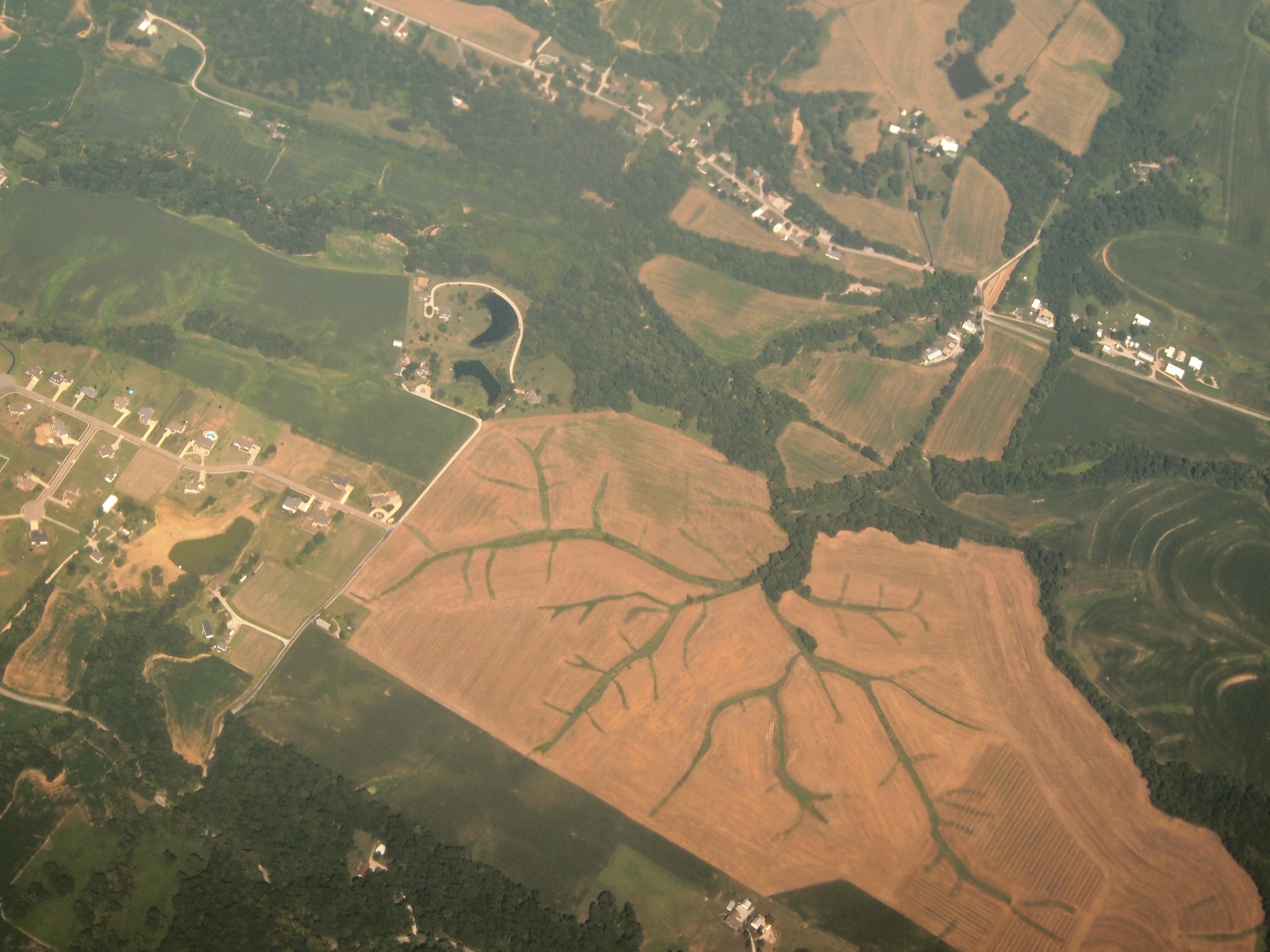
Aerial View of Dendritic Landscape off Gall Rd. South of Columbia, IL_P8025094

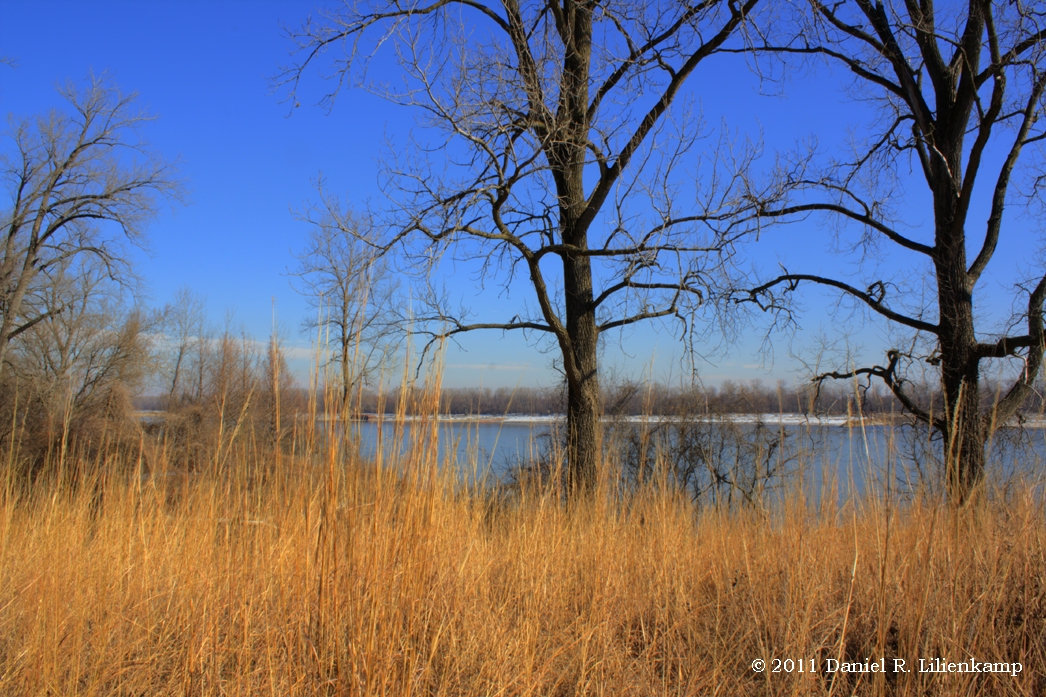
Mississippi River bottoms
Mississippi River bottoms
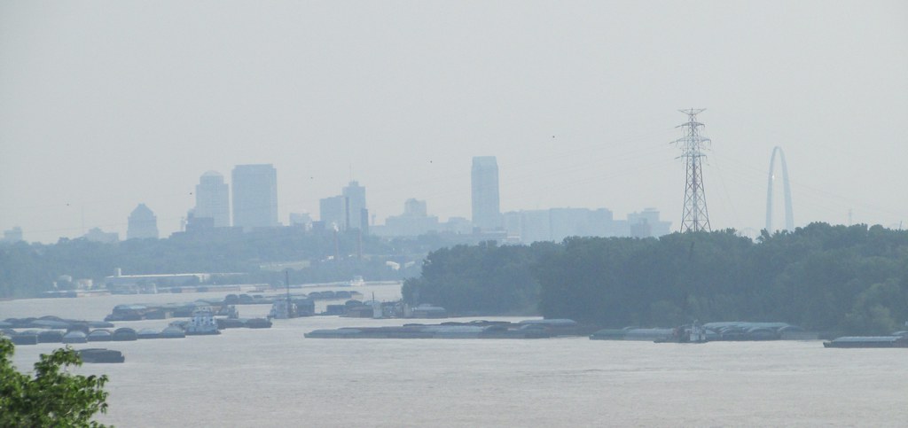
View of Barge Activity from the Barracks (3)
View of pylon crossing the Mississippi River from Meramec Power Plant
603 S. Main, Columbia, IL

Bee Tree Park
Bee Tree Park 03 crop
Bee Tree Park 05 crop
Bee Tree Park 06 crop
Back deck (view from pool)
Cliff Cave County Park
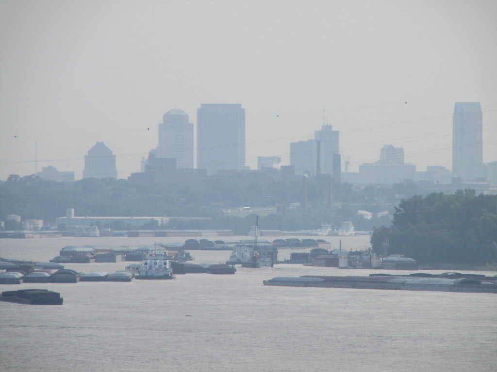
Hazy View of the City from Jefferson Barracks (1)

Robin on a Tombstone
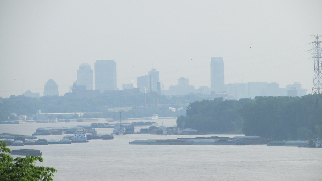
Hazy View of the City from Jefferson Barracks (2)
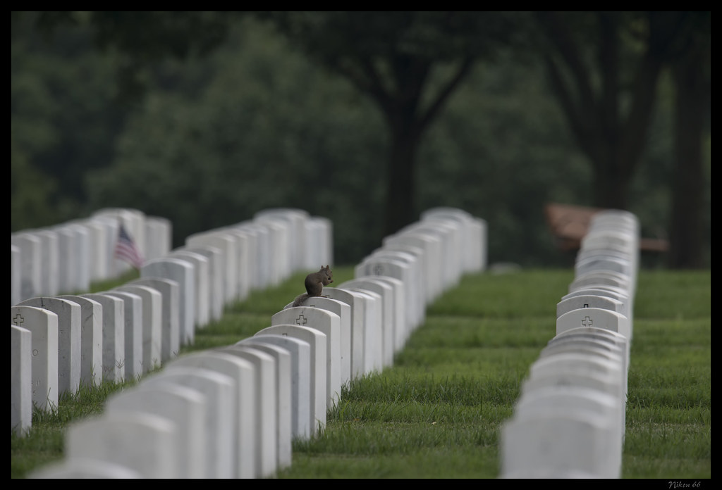
Squirrel - Jefferson Barracks National Cemetery
Hazy View of the City from Jefferson Barracks (3)

UP 8030 and UP 4137
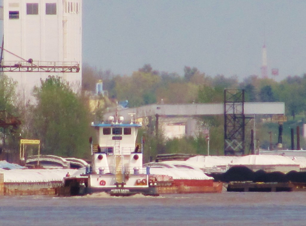
View of Barge Activity from the Barracks (2)
Waterloo Waterworks
Mississippi River Trail - Cliff Cave Park - Oakville, MO_IMG_2687

Trees at Konarcik Park
Open Spaces
29/365 Mississippi River at Cliff Cave County Park

Bee Tree Park

Salt_Lick_Trail_20170923_022-Edit
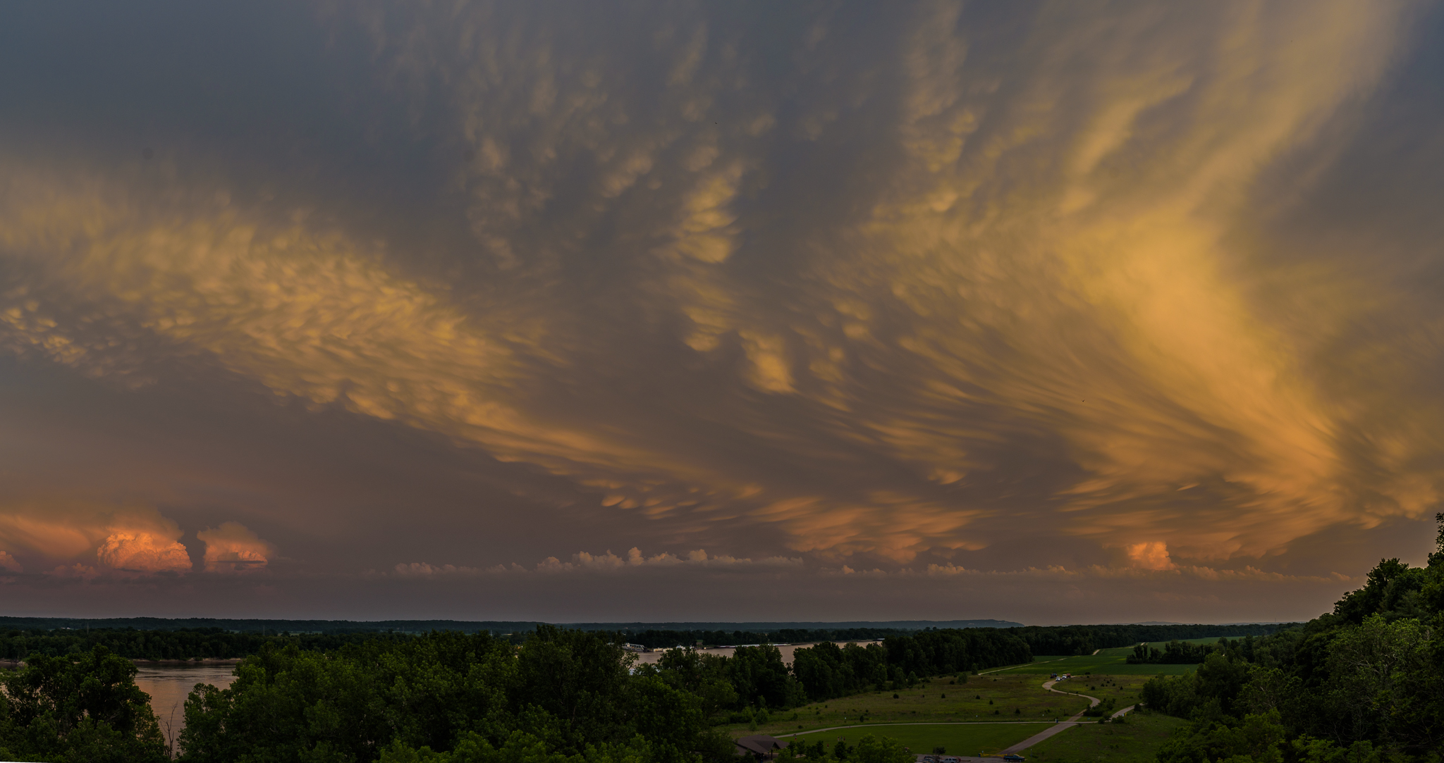
DSC_8785-Pano
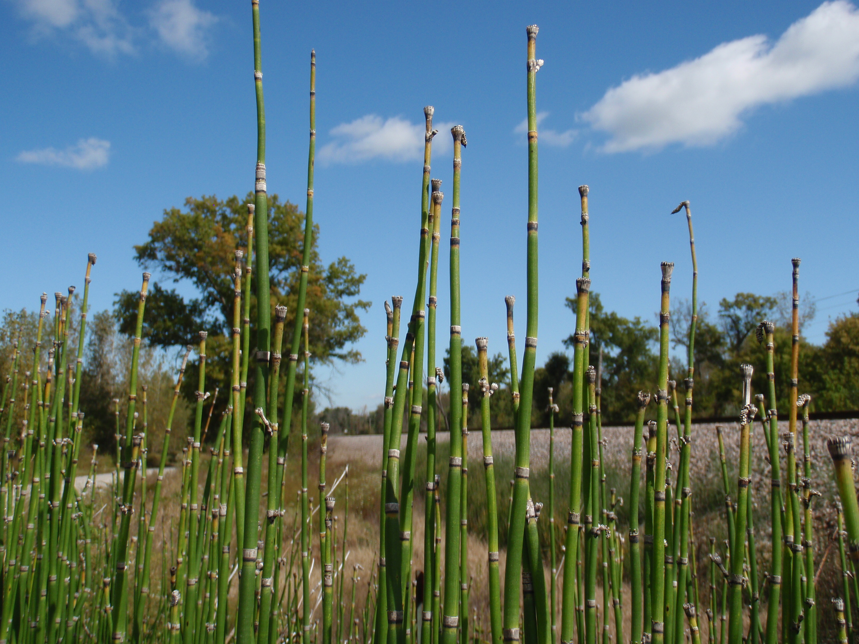
Scouring Rush - Arnold, MO_PA041145

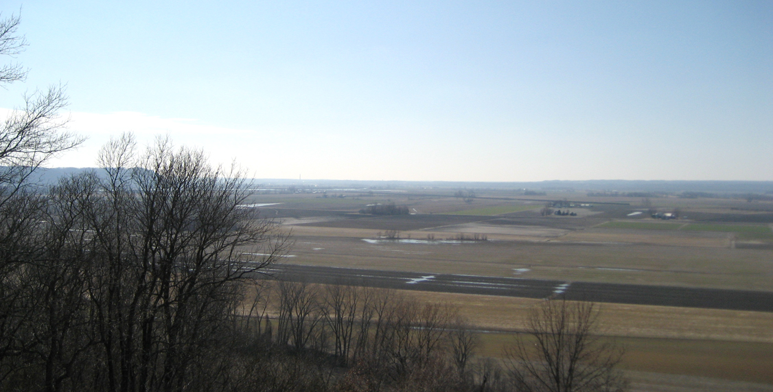
1 November 2013, Columbia, IL 001

Cliff Cave
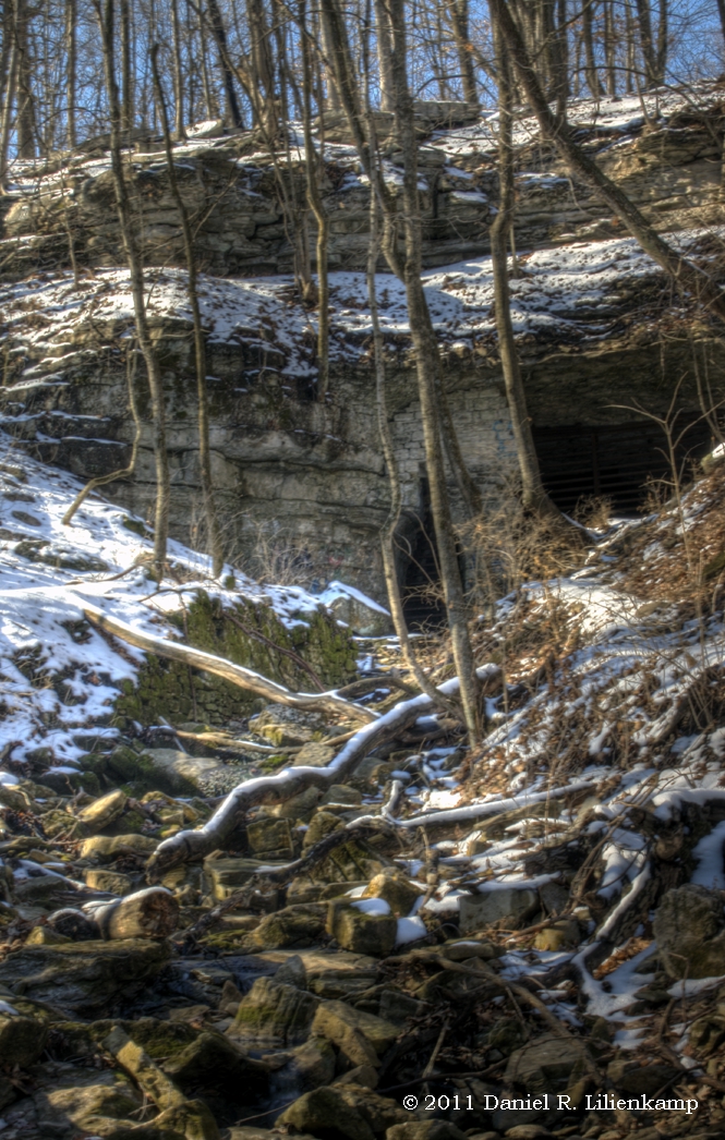
Cliff Cave in Winter
Miles Cemetery

Tree at Konarcik Park
The 3 Layers
20151225-164716-5
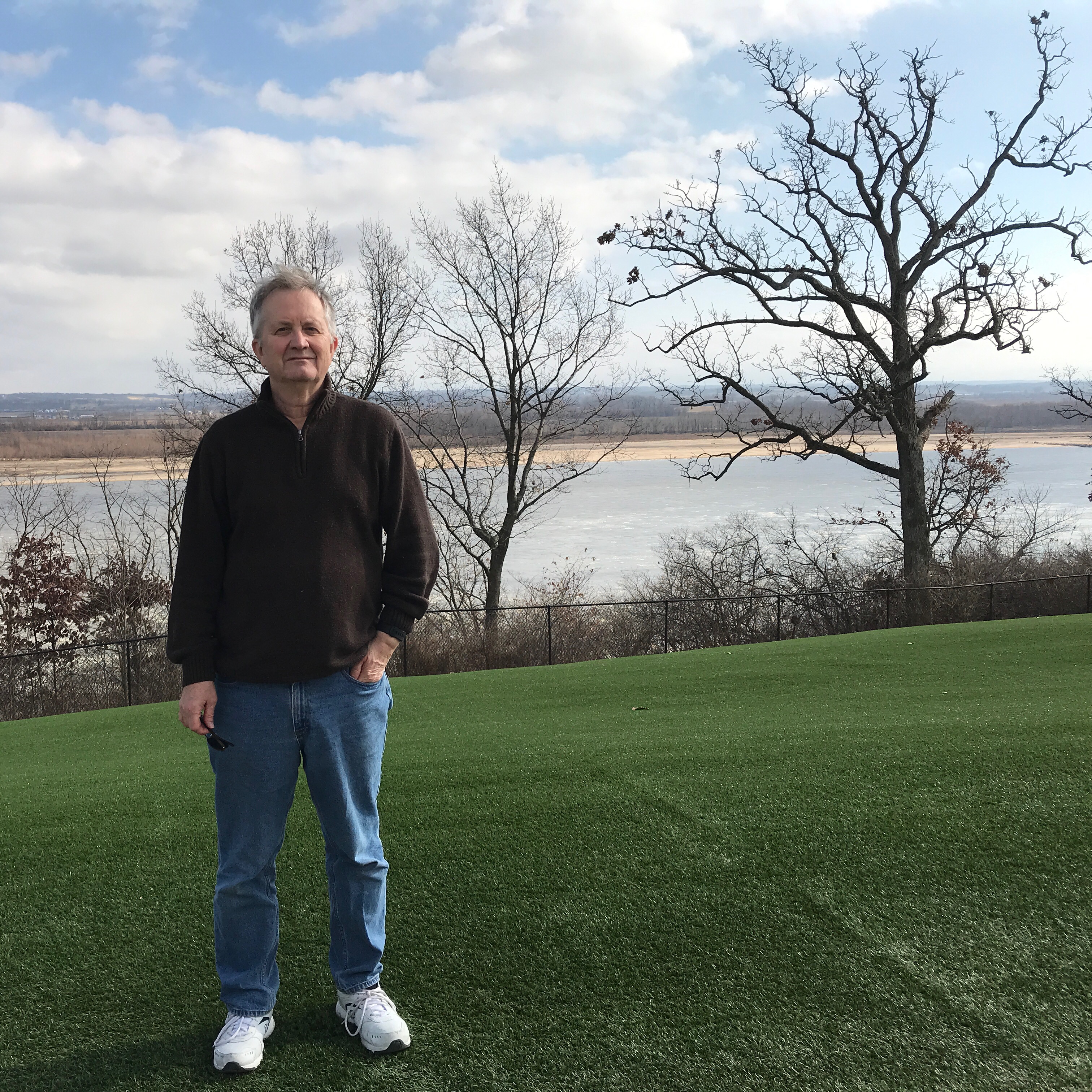
At Jefferson Barracks overlooking Mississippi River.
Playing in the Street
Topographic Map of Coach Stop Rd, Columbia, IL, USA
Find elevation by address:

Places near Coach Stop Rd, Columbia, IL, USA:
1631 Clover Ridge
1506 Shadow Ridge
Columbia, IL, USA
Columbia
340 Parkway Dr
D Rd, Waterloo, IL, USA
4 Old Stone Rd
4 Old Stone Rd
518 Wilson Dr
711 Mahala Dr
Briar Lake Place
313 Bradington Dr
319 Westpark Dr
1623 Ghent Rd
1623 Ghent Rd
150 Westview Pl
1613 Gedern Dr
Quarry Rd, Columbia, IL, USA
Flower Street
Waterloo Rd, Waterloo, IL, USA
Recent Searches:
- Elevation of Elwyn Dr, Roanoke Rapids, NC, USA
- Elevation of Congressional Dr, Stevensville, MD, USA
- Elevation of Bellview Rd, McLean, VA, USA
- Elevation of Stage Island Rd, Chatham, MA, USA
- Elevation of Shibuya Scramble Crossing, 21 Udagawacho, Shibuya City, Tokyo -, Japan
- Elevation of Jadagoniai, Kaunas District Municipality, Lithuania
- Elevation of Pagonija rock, Kranto 7-oji g. 8"N, Kaunas, Lithuania
- Elevation of Co Rd 87, Jamestown, CO, USA
- Elevation of Tenjo, Cundinamarca, Colombia
- Elevation of Côte-des-Neiges, Montreal, QC H4A 3J6, Canada