Elevation of Warm Springs Township, AR, USA
Location: United States > Arkansas > Randolph County >
Longitude: -91.049037
Latitude: 36.4643053
Elevation: 150m / 492feet
Barometric Pressure: 100KPa
Elevation Map:
Satellite Map:
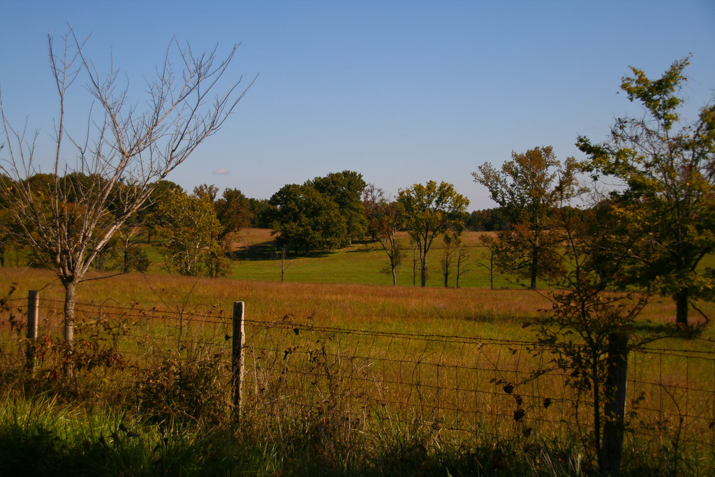
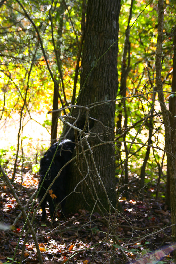
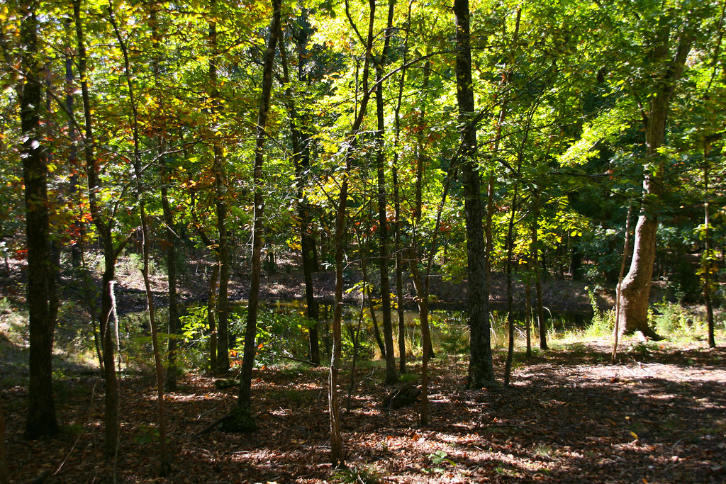
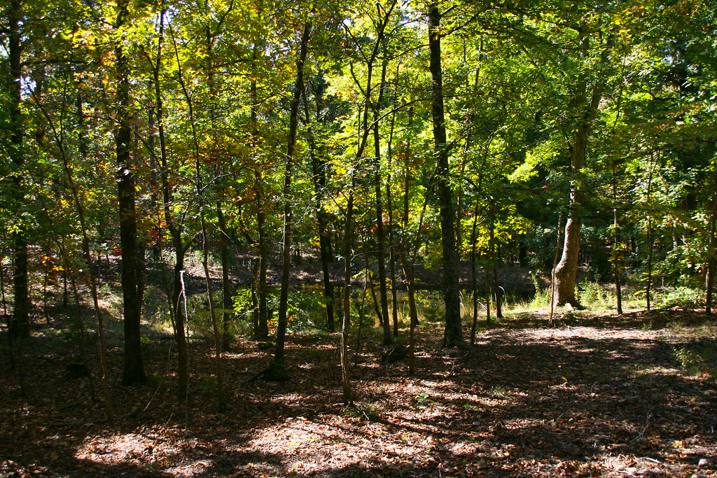
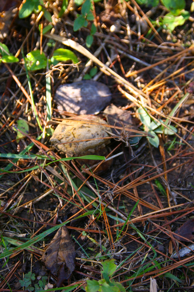
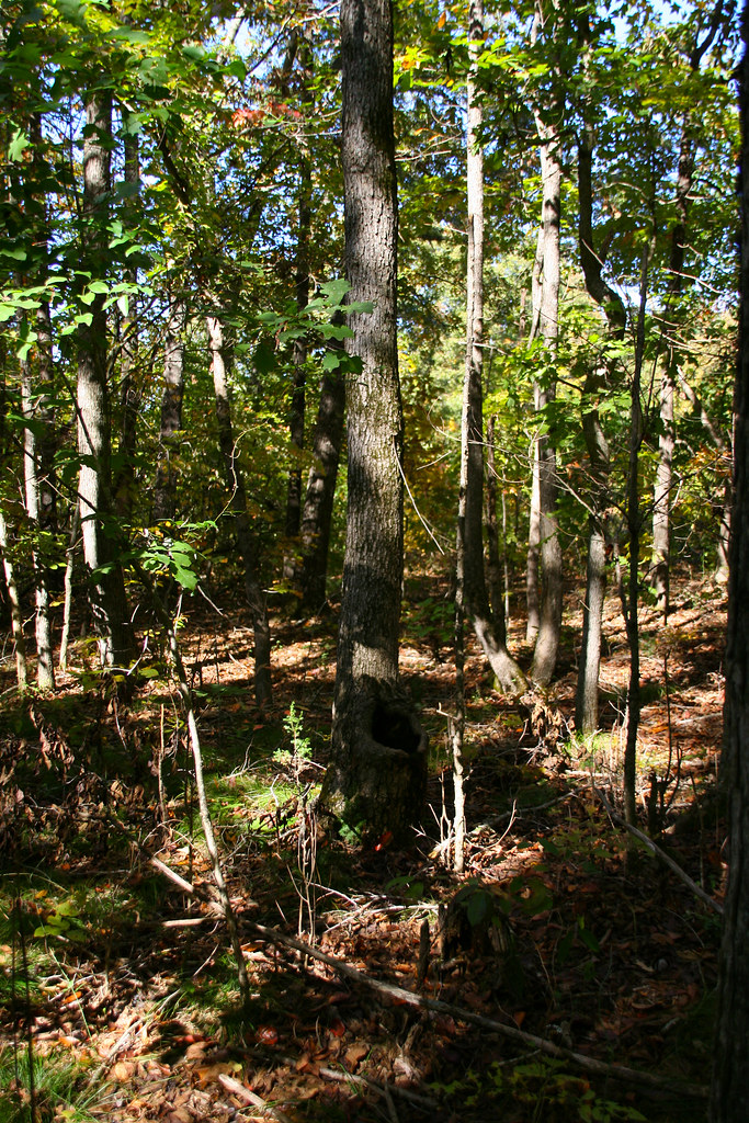
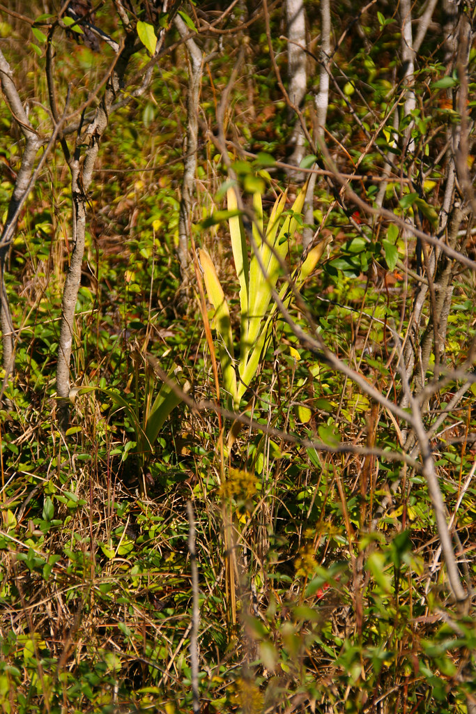
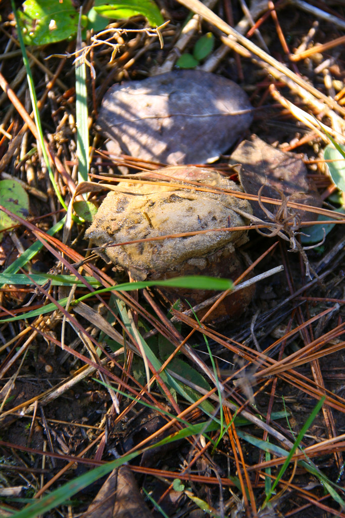
Related Photos:

20081025_0416
20081025_0309
20081025_0432

20081025_0397
20081025_0439
20081025_0440

20081025_0393
20081025_0431
20081025_0445
20081025_0414
20081025_0446
20081025_0270
20081025_0401
20081025_0255
20081025_0269
Topographic Map of Warm Springs Township, AR, USA
Find elevation by address:

Places in Warm Springs Township, AR, USA:
Places near Warm Springs Township, AR, USA:
Warm Springs
Parkview, Warm Springs, AR, USA
Jackson Township
State Hwy, Pocahontas, AR, USA
Ingram Township
1345 Palestine Rd
Warm Springs Rd, Warm Springs, AR, USA
State Hwy 93, Pocahontas, AR, USA
Siloam Township
Randolph County
Dalton Township
Columbia Township
Hwy 90 W, Ravenden Springs, AR, USA
Siloam Rd, Maynard, AR, USA
Stoney Point Rd, Pocahontas, AR, USA
Shiloh Township
AR-, Pocahontas, AR, USA
Maynard
AR-, Maynard, AR, USA
Water Valley Township
Recent Searches:
- Elevation of Elwyn Dr, Roanoke Rapids, NC, USA
- Elevation of Congressional Dr, Stevensville, MD, USA
- Elevation of Bellview Rd, McLean, VA, USA
- Elevation of Stage Island Rd, Chatham, MA, USA
- Elevation of Shibuya Scramble Crossing, 21 Udagawacho, Shibuya City, Tokyo -, Japan
- Elevation of Jadagoniai, Kaunas District Municipality, Lithuania
- Elevation of Pagonija rock, Kranto 7-oji g. 8"N, Kaunas, Lithuania
- Elevation of Co Rd 87, Jamestown, CO, USA
- Elevation of Tenjo, Cundinamarca, Colombia
- Elevation of Côte-des-Neiges, Montreal, QC H4A 3J6, Canada