Elevation of State Hwy 93, Pocahontas, AR, USA
Location: United States > Arkansas > Randolph County > Dalton Township >
Longitude: -91.141317
Latitude: 36.421113
Elevation: 114m / 374feet
Barometric Pressure: 100KPa
Elevation Map:
Satellite Map:
Related Photos:
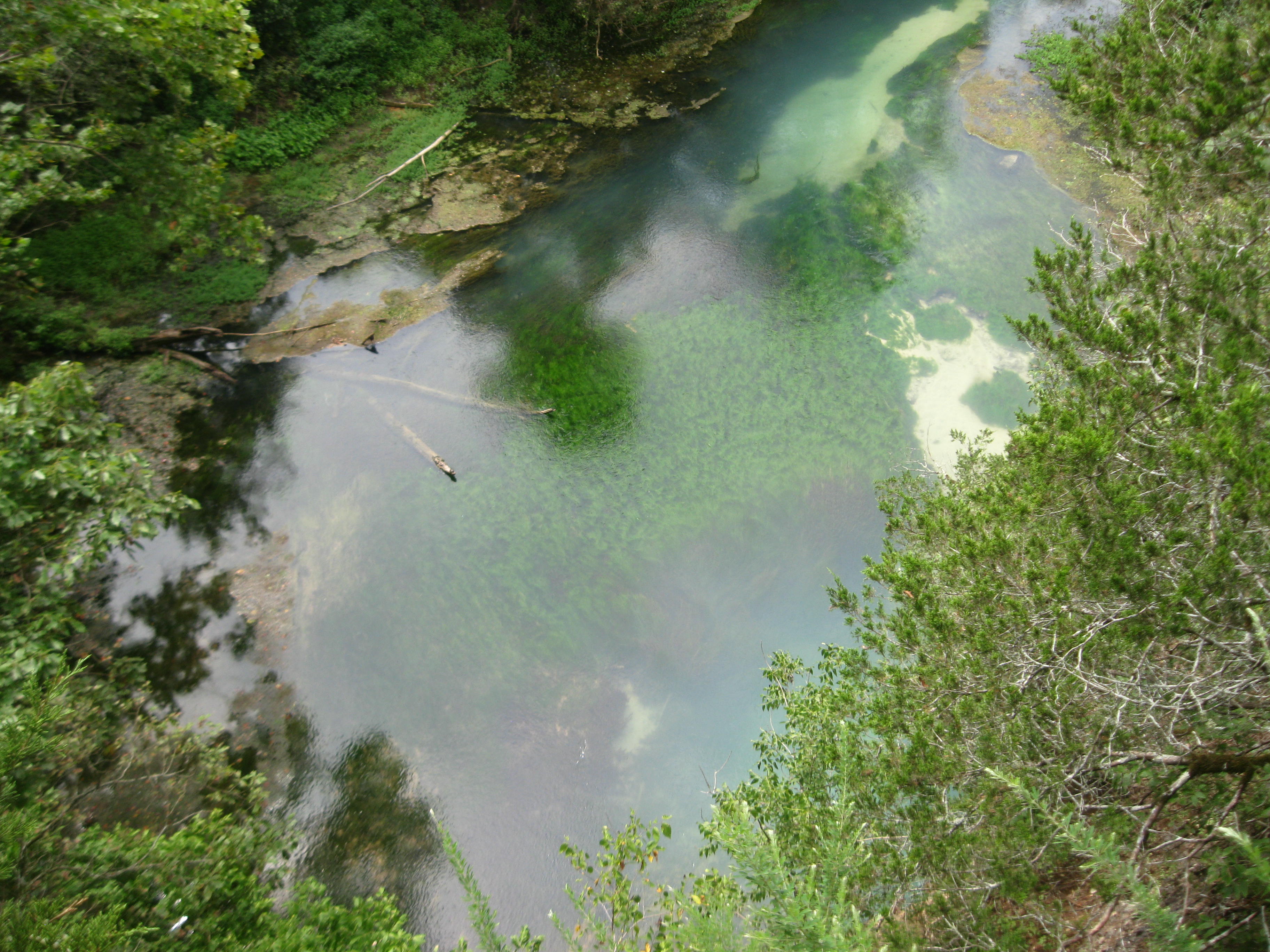
Blue Spring!

December 30, 2013 | Blue Spring | Oregon County MO
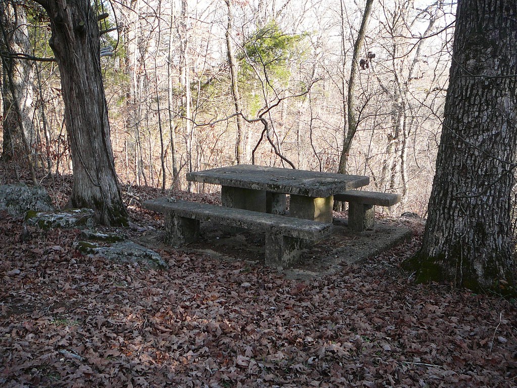
December 30, 2013 | A picnic table at The Narrows | Oregon County MO
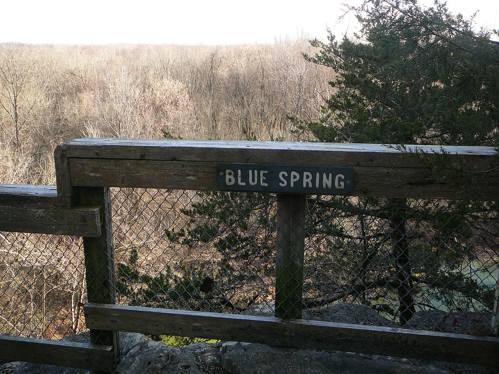
December 30, 2013 | Blue Spring overlook | Oregon County MO
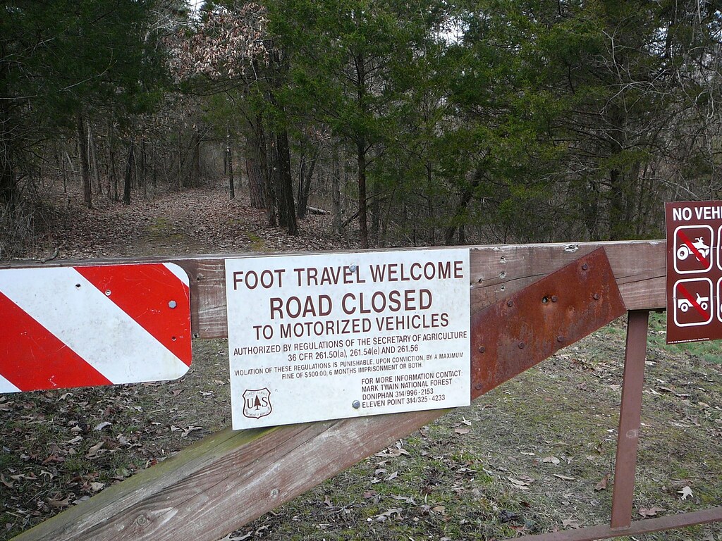
December 30, 2013 | More signage at The Narrows | Oregon County MO

December 30, 2013 | Signboard at the Narrows | Oregon County MO
December 30, 2013 | Signage at The Narrows | Oregon County MO

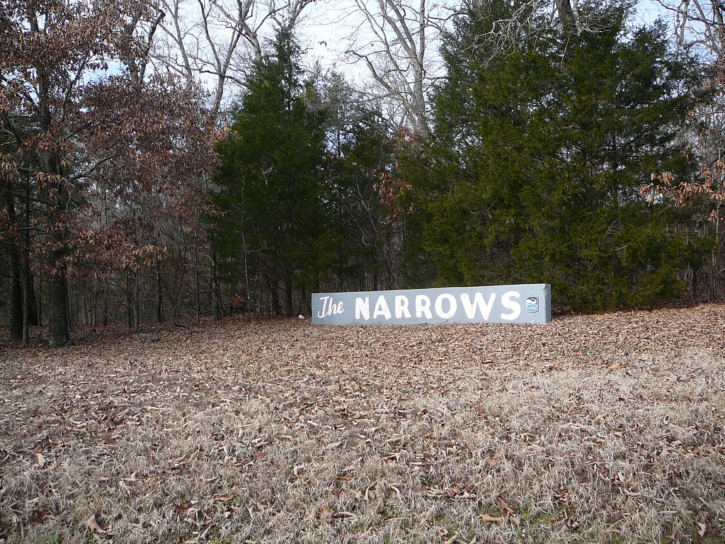
The Narrows 005

Jungle Boni-text

Ripley County Sky

looney-postcard-1912
img032 copy
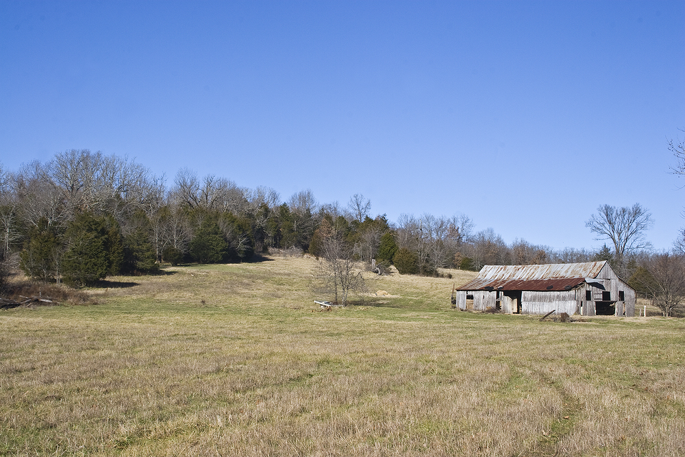
A More Relaxed Way of Life

Grapes on the Farm

Morning Shadows

Furnace Glass
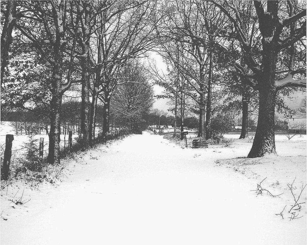
Country Lane b&w

John Deere b&w

John Deere
Topographic Map of State Hwy 93, Pocahontas, AR, USA
Find elevation by address:

Places near State Hwy 93, Pocahontas, AR, USA:
Dalton Township
Jackson Township
Hwy 90 W, Ravenden Springs, AR, USA
State Hwy, Pocahontas, AR, USA
Warm Springs Township
Parkview, Warm Springs, AR, USA
Warm Springs
Water Valley Township
Stoney Point Rd, Pocahontas, AR, USA
127 Jade Trail
Shiloh Township
Elm St, Ravenden Springs, AR, USA
Ingram Township
1345 Palestine Rd
1267 Ring Rd
1267 Ring Rd
1267 Ring Rd
Union Township
Randolph County
Warm Springs Rd, Warm Springs, AR, USA
Recent Searches:
- Elevation of Groblershoop, South Africa
- Elevation of Power Generation Enterprises | Industrial Diesel Generators, Oak Ave, Canyon Country, CA, USA
- Elevation of Chesaw Rd, Oroville, WA, USA
- Elevation of N, Mt Pleasant, UT, USA
- Elevation of 6 Rue Jules Ferry, Beausoleil, France
- Elevation of Sattva Horizon, 4JC6+G9P, Vinayak Nagar, Kattigenahalli, Bengaluru, Karnataka, India
- Elevation of Great Brook Sports, Gold Star Hwy, Groton, CT, USA
- Elevation of 10 Mountain Laurels Dr, Nashua, NH, USA
- Elevation of 16 Gilboa Ln, Nashua, NH, USA
- Elevation of Laurel Rd, Townsend, TN, USA