Elevation of Randolph County, AR, USA
Location: United States > Arkansas >
Longitude: -90.982066
Latitude: 36.3457918
Elevation: 136m / 446feet
Barometric Pressure: 100KPa
Elevation Map:
Satellite Map:
Related Photos:

IMG_4385

pocahontas ark airport 4-28-11

Pawpaw is tuckered out. ????
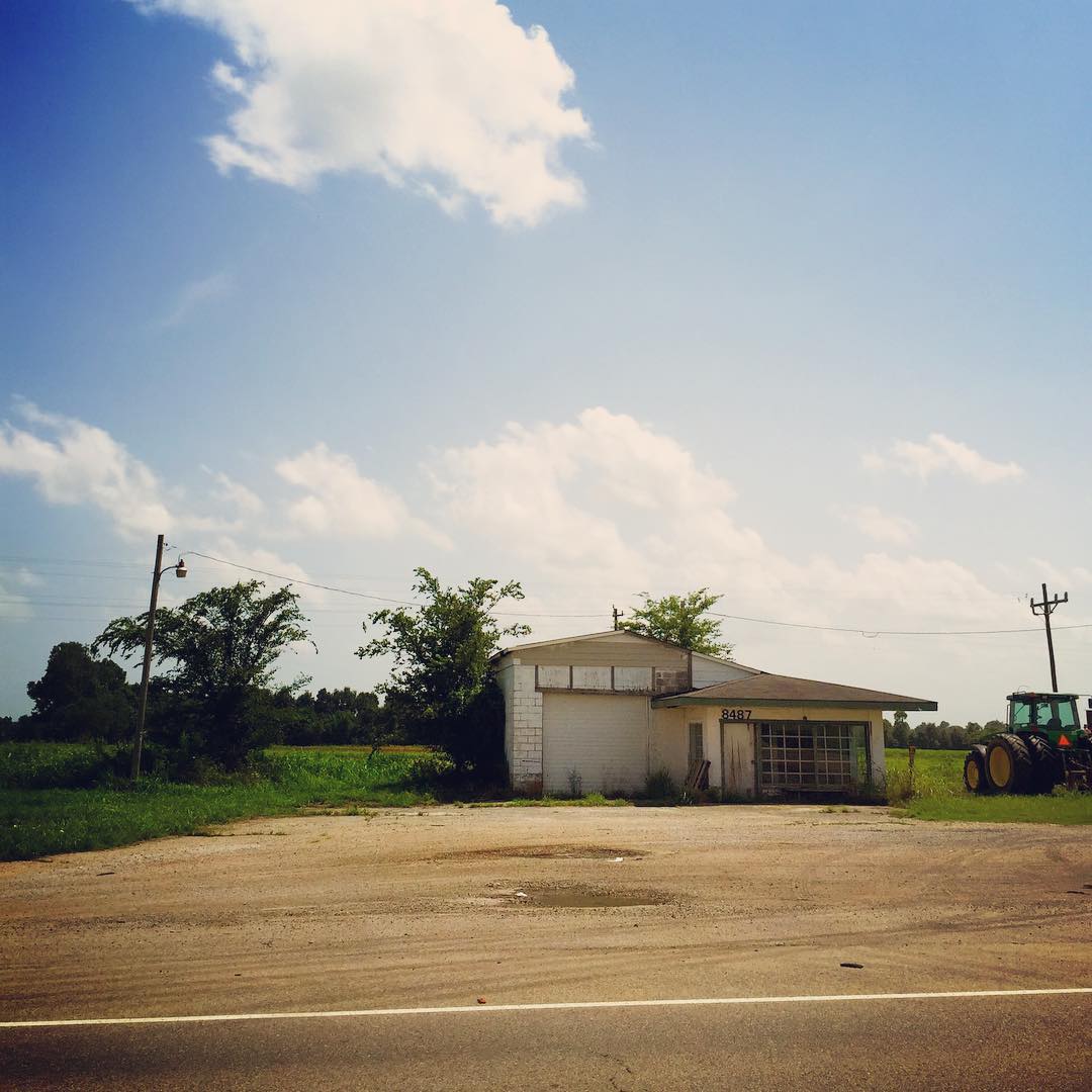
When I see places like this on the side of the road I can't help but get lost in my wondering...who used to be around here? Whose lives were changed here? What's the story? #nerd #dork #stuffiwonderabout #clouds #building #abandoned #arkansas #roadside

Old Randolph County Courthouse

Old Randolph County Courthouse
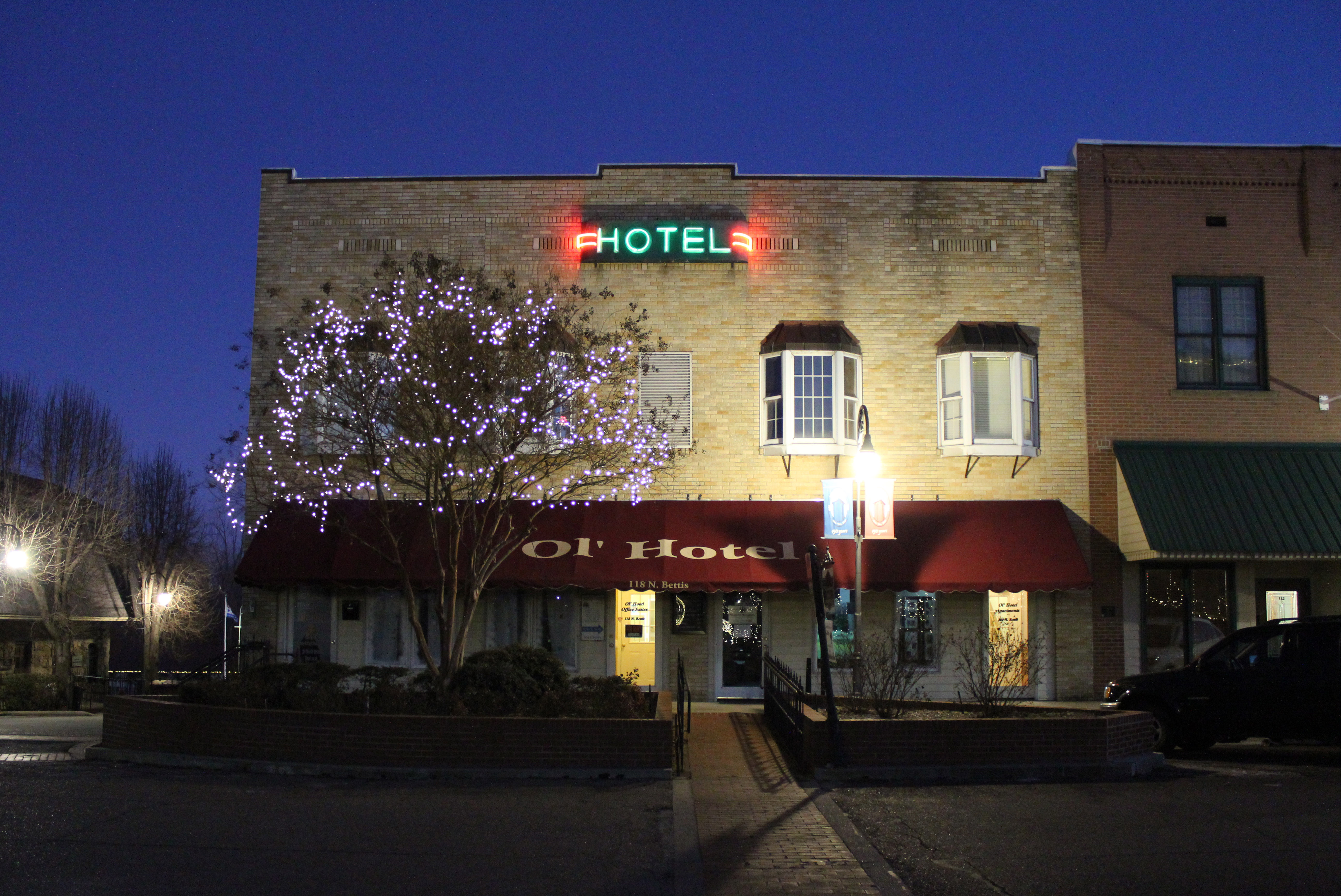
Ol' Hotel

Old Randolph County Courthouse

Sanitary Barber Shop

School bus

Wassailing 2x4s

Western Auto

Eddie Mae Herron Center

Pocahontas, AR

Pocahontas, AR
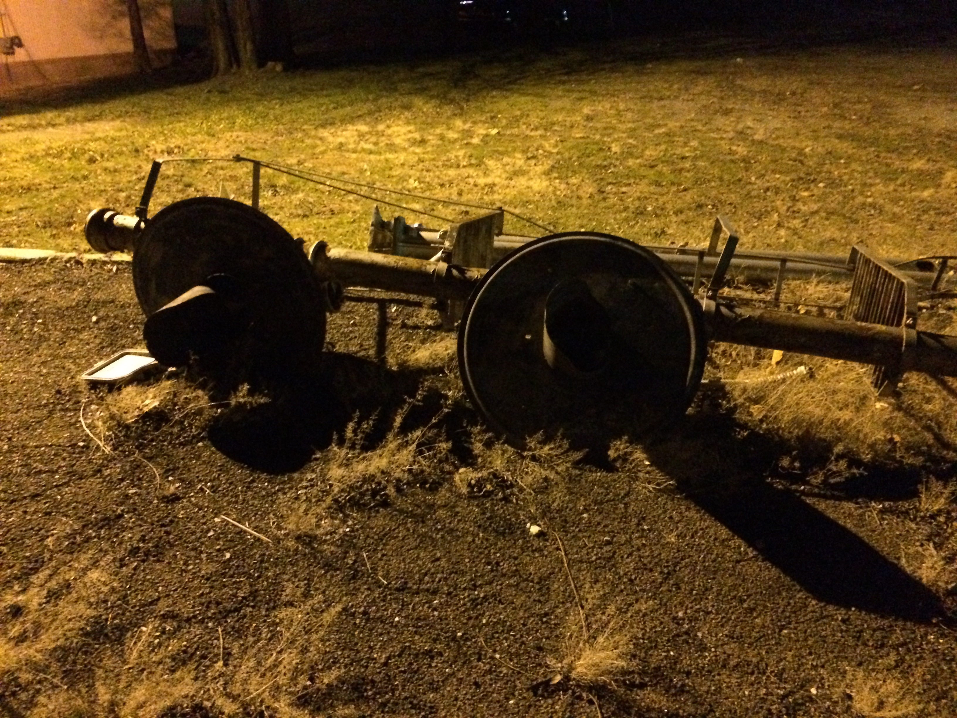
Down on the Job
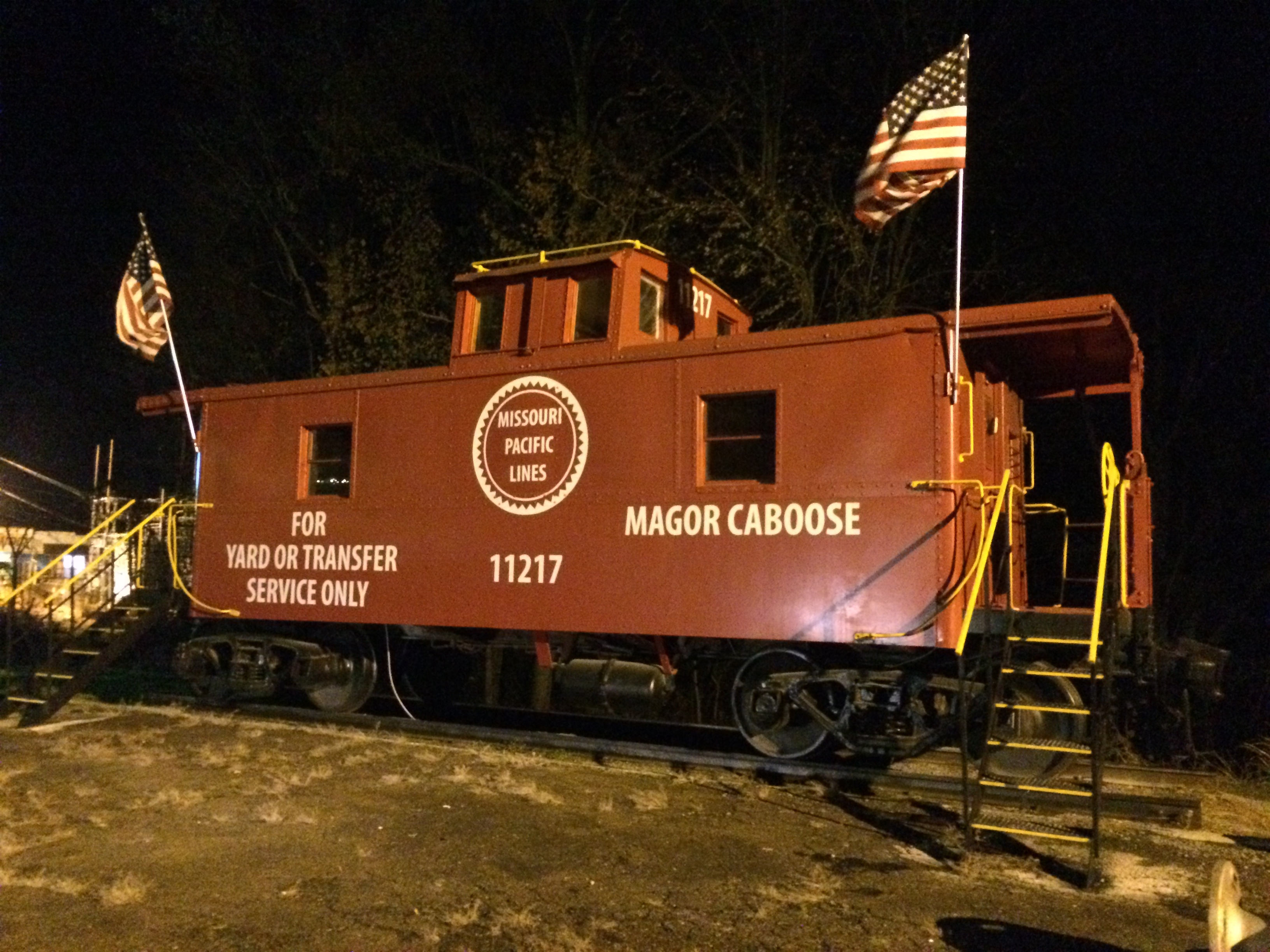
Missouri Pacific 11217

20050817 06 Pocahontas, Arkansas
Topographic Map of Randolph County, AR, USA
Find elevation by address:

Places in Randolph County, AR, USA:
Demun
Union Township
Siloam Township
Bristow Township
West Roanoke Township
O'kean Township
Columbia Township
Water Valley Township
Jackson Township
Current River Township
Dalton Township
Richardson Township
Reyno Township
Shiloh Township
Warm Springs Township
Elm St, Ravenden Springs, AR, USA
Ingram Township
Places near Randolph County, AR, USA:
AR-, Pocahontas, AR, USA
1345 Palestine Rd
Columbia Township
Demun
Ingram Township
2002 W Pyburn St
709 Carroll St
State Hwy, Pocahontas, AR, USA
Pocahontas
Shiloh Township
Stoney Point Rd, Pocahontas, AR, USA
US-67, Pocahontas, AR, USA
AR-, Maynard, AR, USA
Days Inn & Suites Pocahontas
Maynard
Warm Springs Rd, Warm Springs, AR, USA
Jackson Township
Richardson Township
Siloam Rd, Maynard, AR, USA
Warm Springs Township
Recent Searches:
- Elevation of Corso Fratelli Cairoli, 35, Macerata MC, Italy
- Elevation of Tallevast Rd, Sarasota, FL, USA
- Elevation of 4th St E, Sonoma, CA, USA
- Elevation of Black Hollow Rd, Pennsdale, PA, USA
- Elevation of Oakland Ave, Williamsport, PA, USA
- Elevation of Pedrógão Grande, Portugal
- Elevation of Klee Dr, Martinsburg, WV, USA
- Elevation of Via Roma, Pieranica CR, Italy
- Elevation of Tavkvetili Mountain, Georgia
- Elevation of Hartfords Bluff Cir, Mt Pleasant, SC, USA