Elevation of Reyno Township, AR, USA
Location: United States > Arkansas > Randolph County >
Longitude: -90.762788
Latitude: 36.3582192
Elevation: 83m / 272feet
Barometric Pressure: 100KPa
Elevation Map:
Satellite Map:
Related Photos:

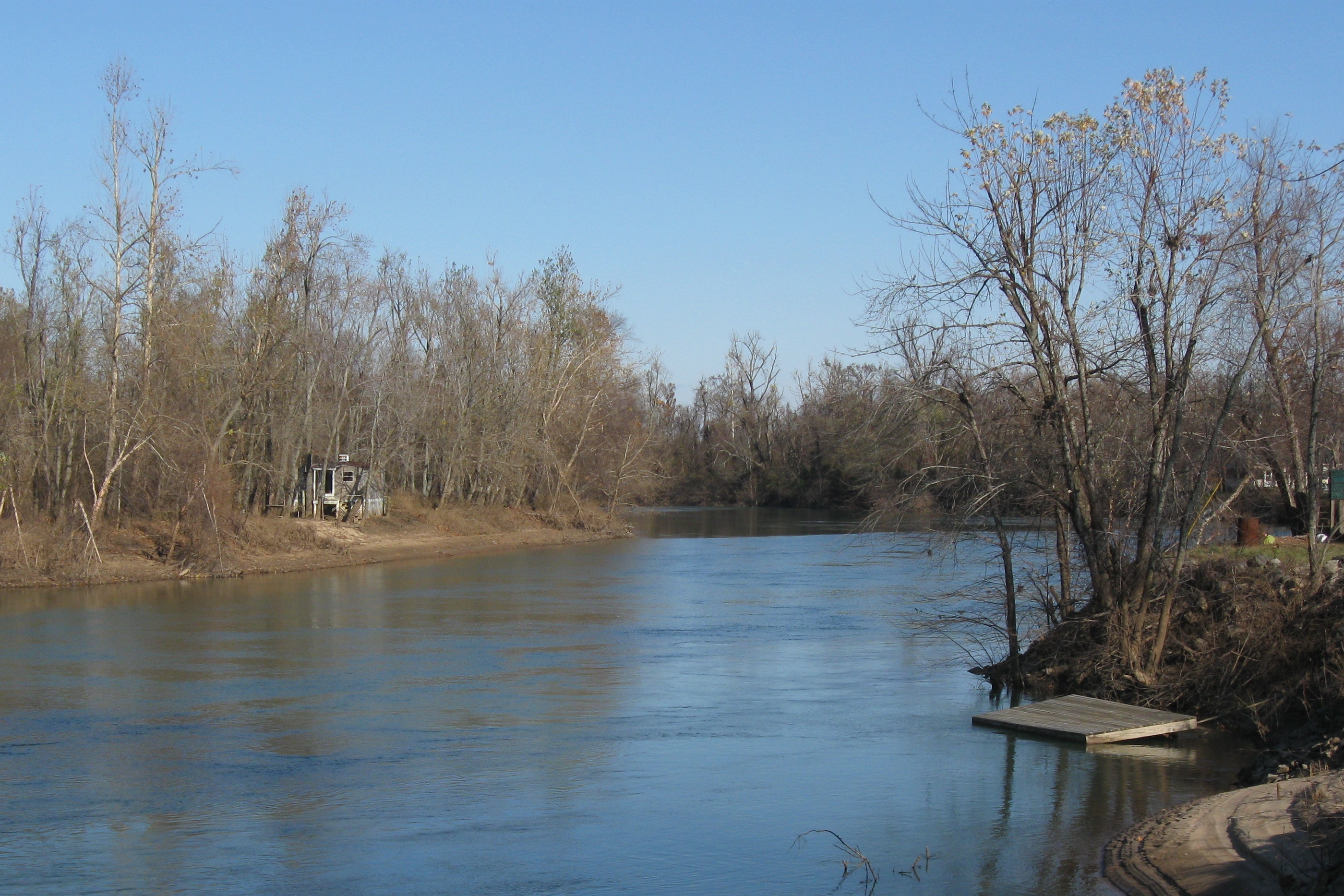
20081025_0270
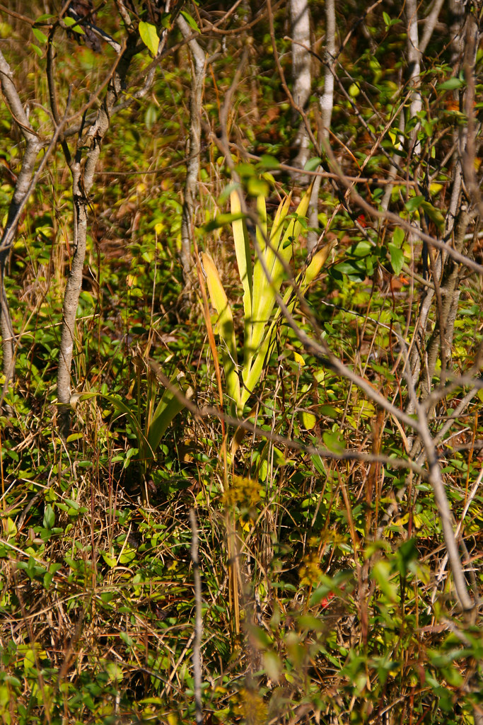
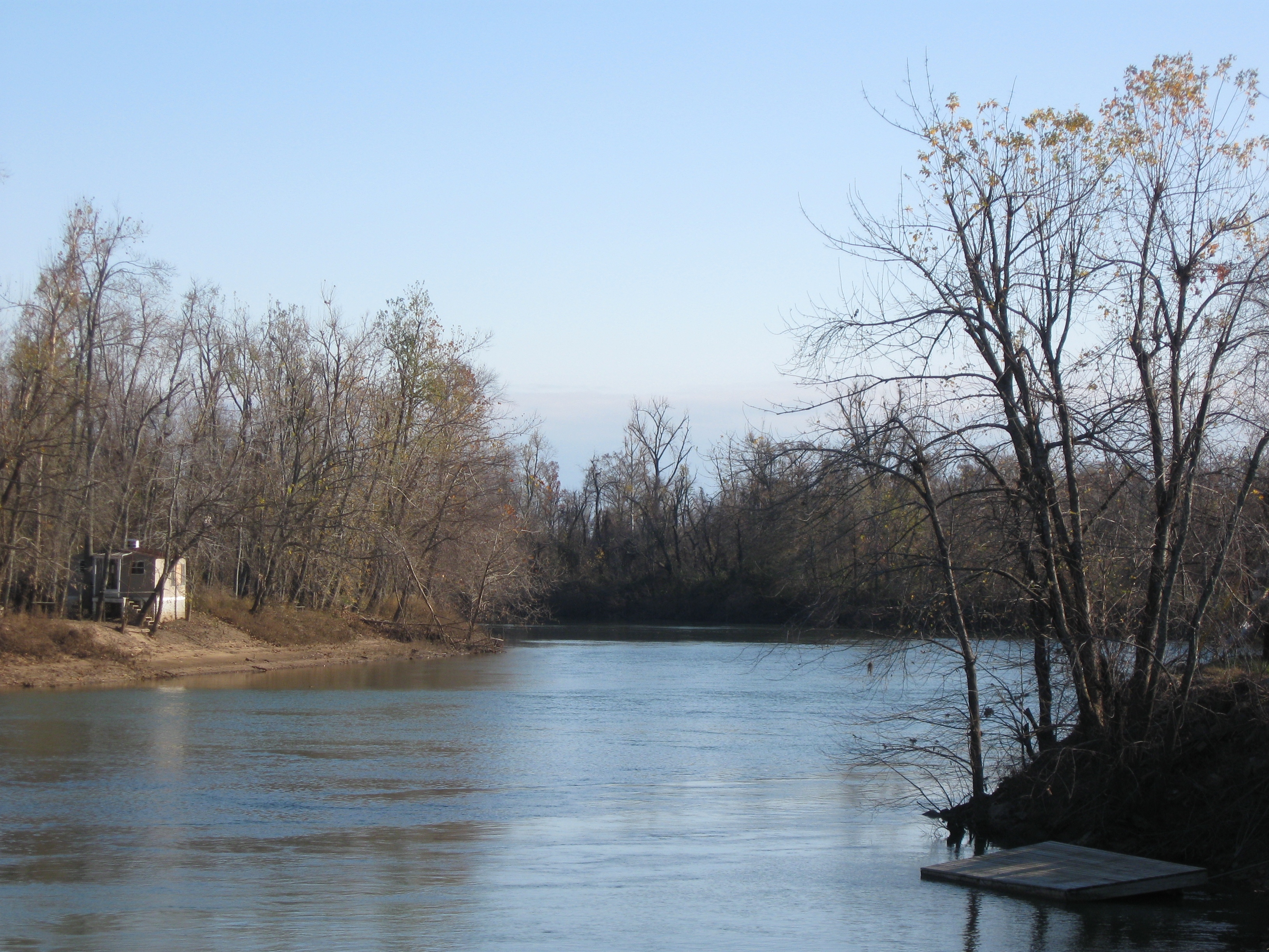
20081025_0255

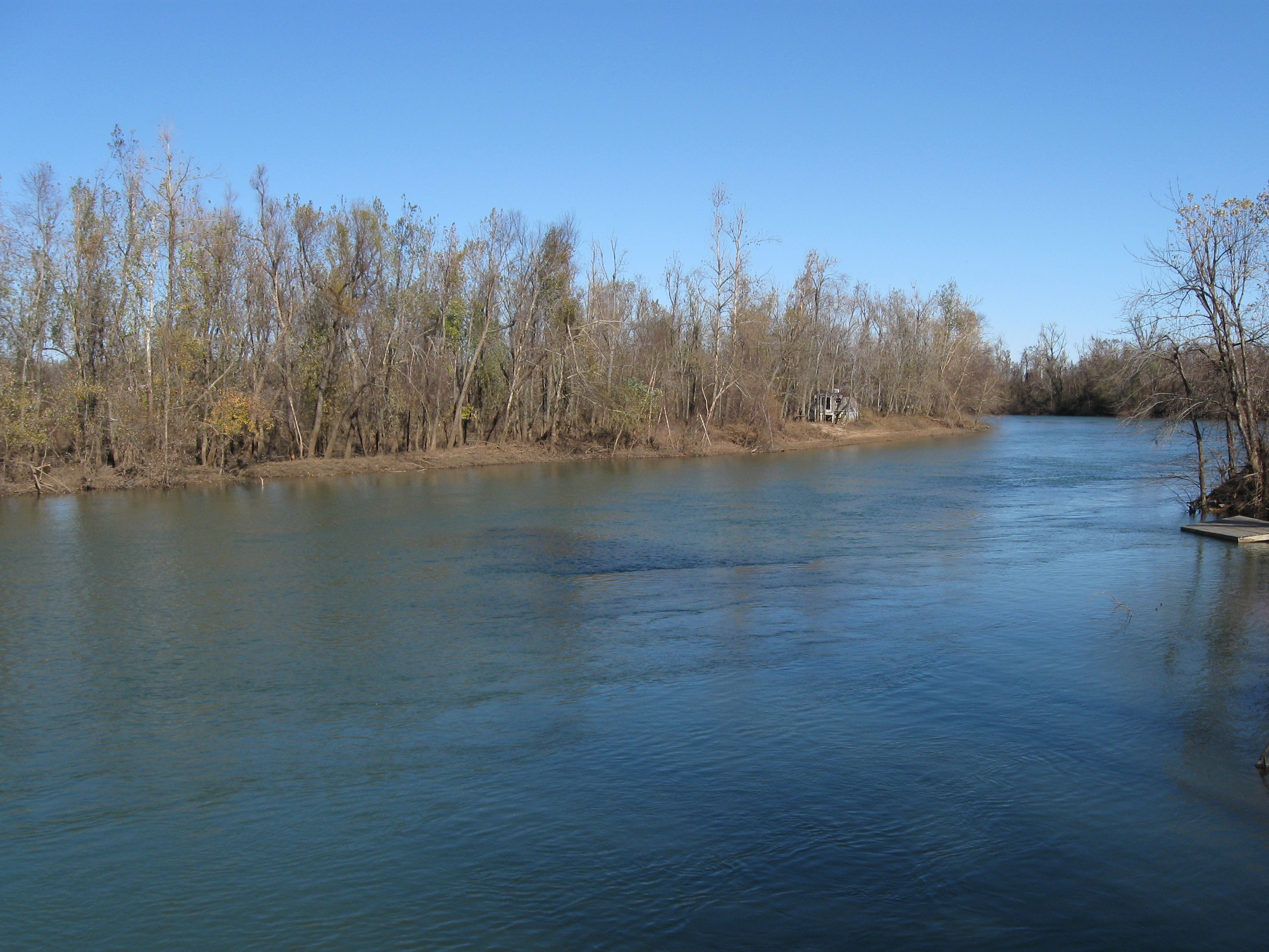
20081025_0269
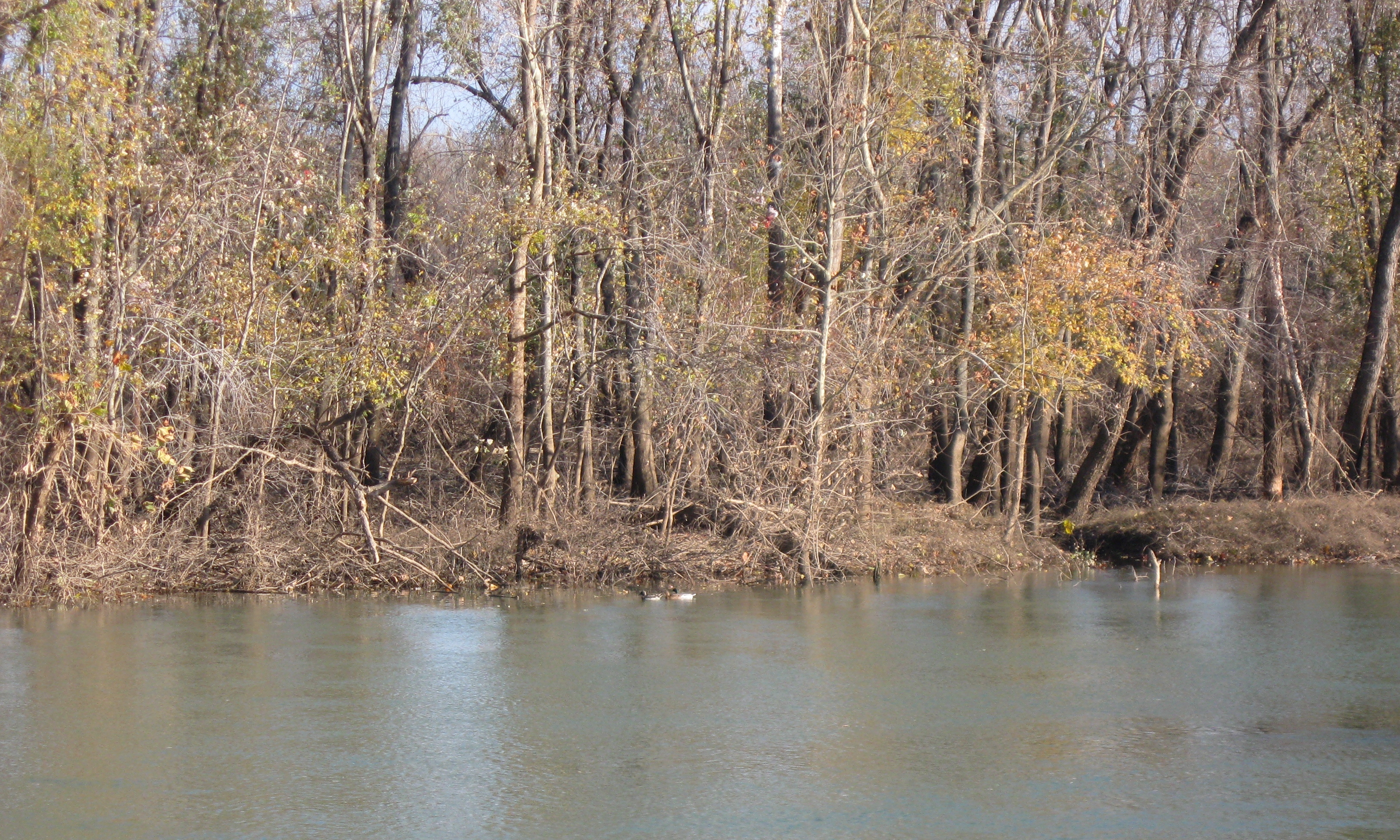
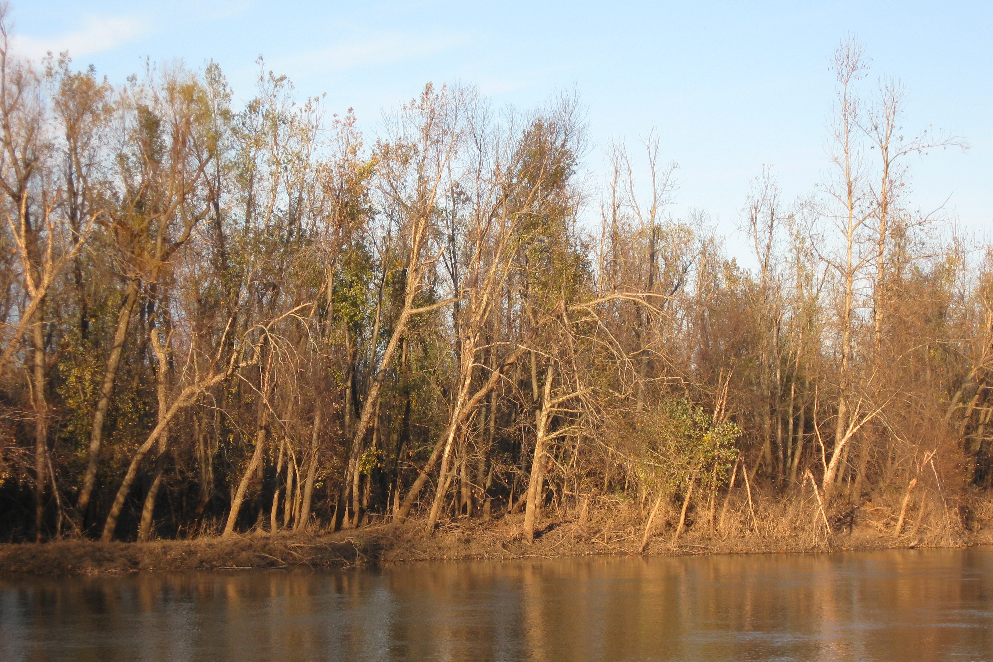
IMG_5068
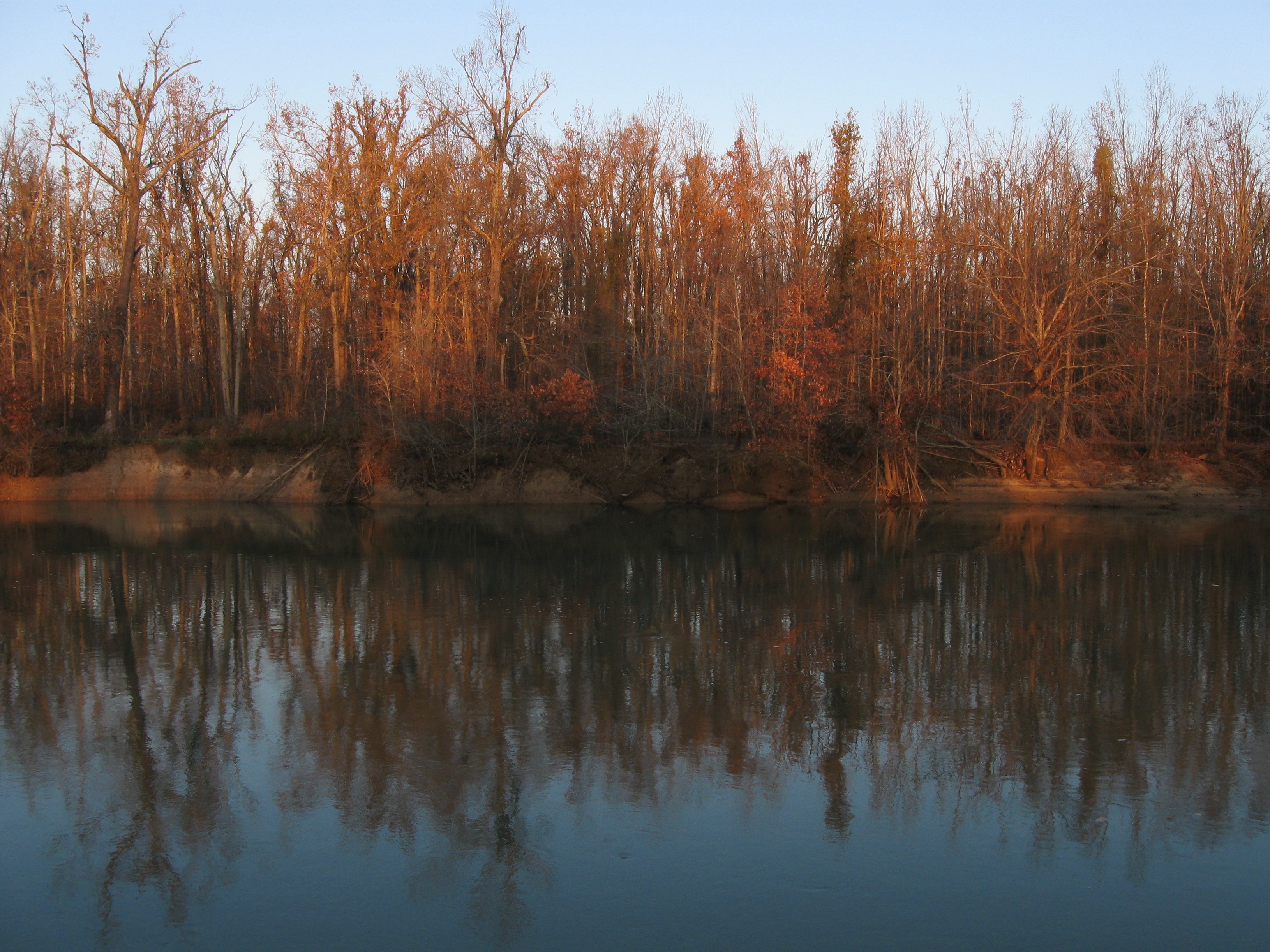
IMG_5065

IMG_5066
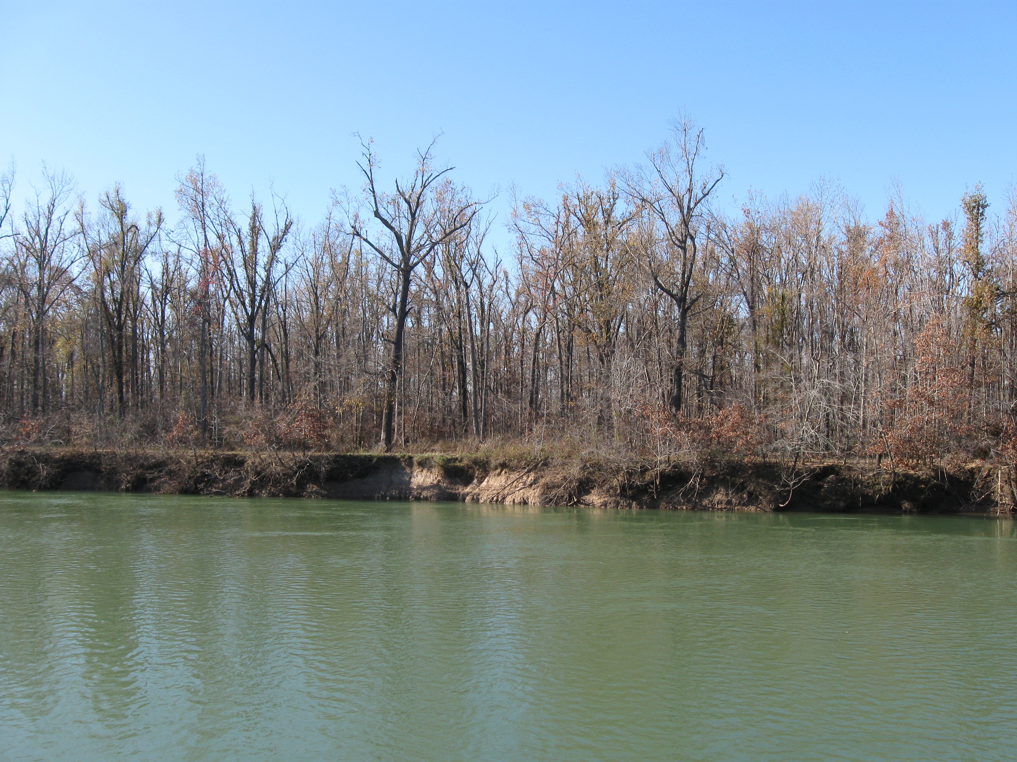
IMG_5032
IMG_5081
IMG_5072
IMG_5031
IMG_5042
Topographic Map of Reyno Township, AR, USA
Find elevation by address:

Places in Reyno Township, AR, USA:
Places near Reyno Township, AR, USA:
Reyno
Biggers-Reyno Rd, Reyno, AR, USA
Biggers
Biggers-Reyno Rd, Biggers, AR, USA
Co Rd, Corning, AR, USA
Current River Township
Brown-carpenter Township
12 Co Rd, Corning, AR, USA
Richardson Township
Delaplaine
AR-34, Delaplaine, AR, USA
State Hwy E, Doniphan, MO, USA
AR-, Maynard, AR, USA
Maynard
4 Co Rd, Corning, AR, USA
Sharum Dr, Pocahontas, AR, USA
Jones Township
Siloam Rd, Maynard, AR, USA
AR-, Pocahontas, AR, USA
Gleghorn-south Kilgore Township
Recent Searches:
- Elevation of Congressional Dr, Stevensville, MD, USA
- Elevation of Bellview Rd, McLean, VA, USA
- Elevation of Stage Island Rd, Chatham, MA, USA
- Elevation of Shibuya Scramble Crossing, 21 Udagawacho, Shibuya City, Tokyo -, Japan
- Elevation of Jadagoniai, Kaunas District Municipality, Lithuania
- Elevation of Pagonija rock, Kranto 7-oji g. 8"N, Kaunas, Lithuania
- Elevation of Co Rd 87, Jamestown, CO, USA
- Elevation of Tenjo, Cundinamarca, Colombia
- Elevation of Côte-des-Neiges, Montreal, QC H4A 3J6, Canada
- Elevation of Bobcat Dr, Helena, MT, USA