Elevation of Jones Township, AR, USA
Location: United States > Arkansas > Greene County >
Longitude: -90.734273
Latitude: 36.1957341
Elevation: 81m / 266feet
Barometric Pressure: 100KPa
Elevation Map:
Satellite Map:
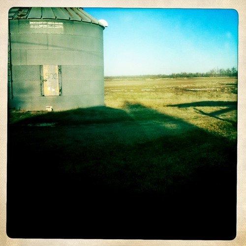
Related Photos:
Topographic Map of Jones Township, AR, USA
Find elevation by address:

Places in Jones Township, AR, USA:
Places near Jones Township, AR, USA:
AR-34, Beech Grove, AR, USA
AR-34, Delaplaine, AR, USA
Delaplaine
AR-34, O'Kean, AR, USA
O'kean
O'kean Township
AR-, Paragould, AR, USA
Sharum Dr, Pocahontas, AR, USA
Current River Township
Sugar Creek Township
Biggers-Reyno Rd, Biggers, AR, USA
Biggers
Cache Township
Walcott
Reyno Township
Co Rd, Corning, AR, USA
Crowley's Ridge State Park
Walcott Baptist Church
Reyno
Biggers-Reyno Rd, Reyno, AR, USA
Recent Searches:
- Elevation of Corso Fratelli Cairoli, 35, Macerata MC, Italy
- Elevation of Tallevast Rd, Sarasota, FL, USA
- Elevation of 4th St E, Sonoma, CA, USA
- Elevation of Black Hollow Rd, Pennsdale, PA, USA
- Elevation of Oakland Ave, Williamsport, PA, USA
- Elevation of Pedrógão Grande, Portugal
- Elevation of Klee Dr, Martinsburg, WV, USA
- Elevation of Via Roma, Pieranica CR, Italy
- Elevation of Tavkvetili Mountain, Georgia
- Elevation of Hartfords Bluff Cir, Mt Pleasant, SC, USA