Elevation of AR-34, Delaplaine, AR, USA
Location: United States > Arkansas > Greene County > Jones Township > Delaplaine >
Longitude: -90.725445
Latitude: 36.2330378
Elevation: 81m / 266feet
Barometric Pressure: 100KPa
Elevation Map:
Satellite Map:
Related Photos:
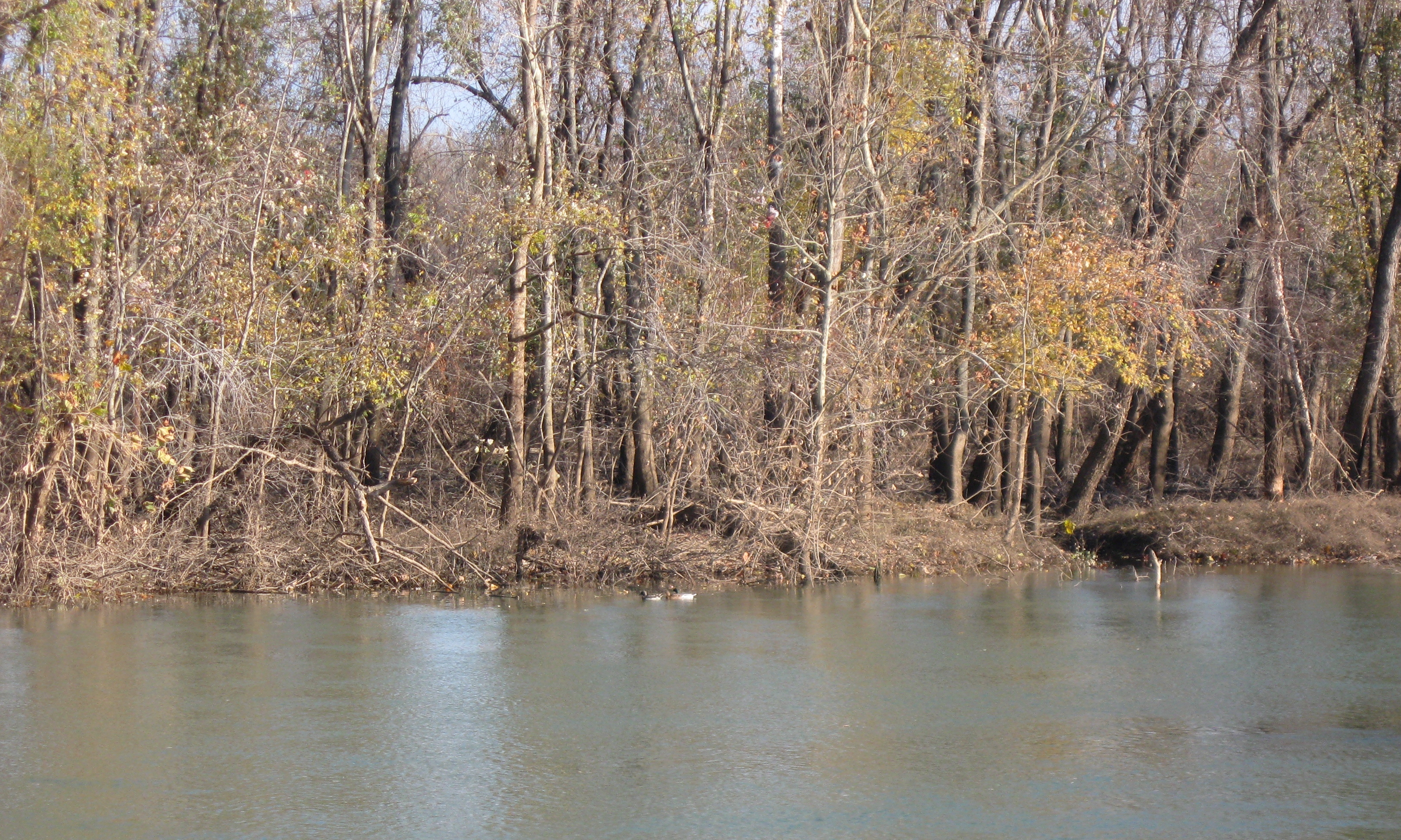
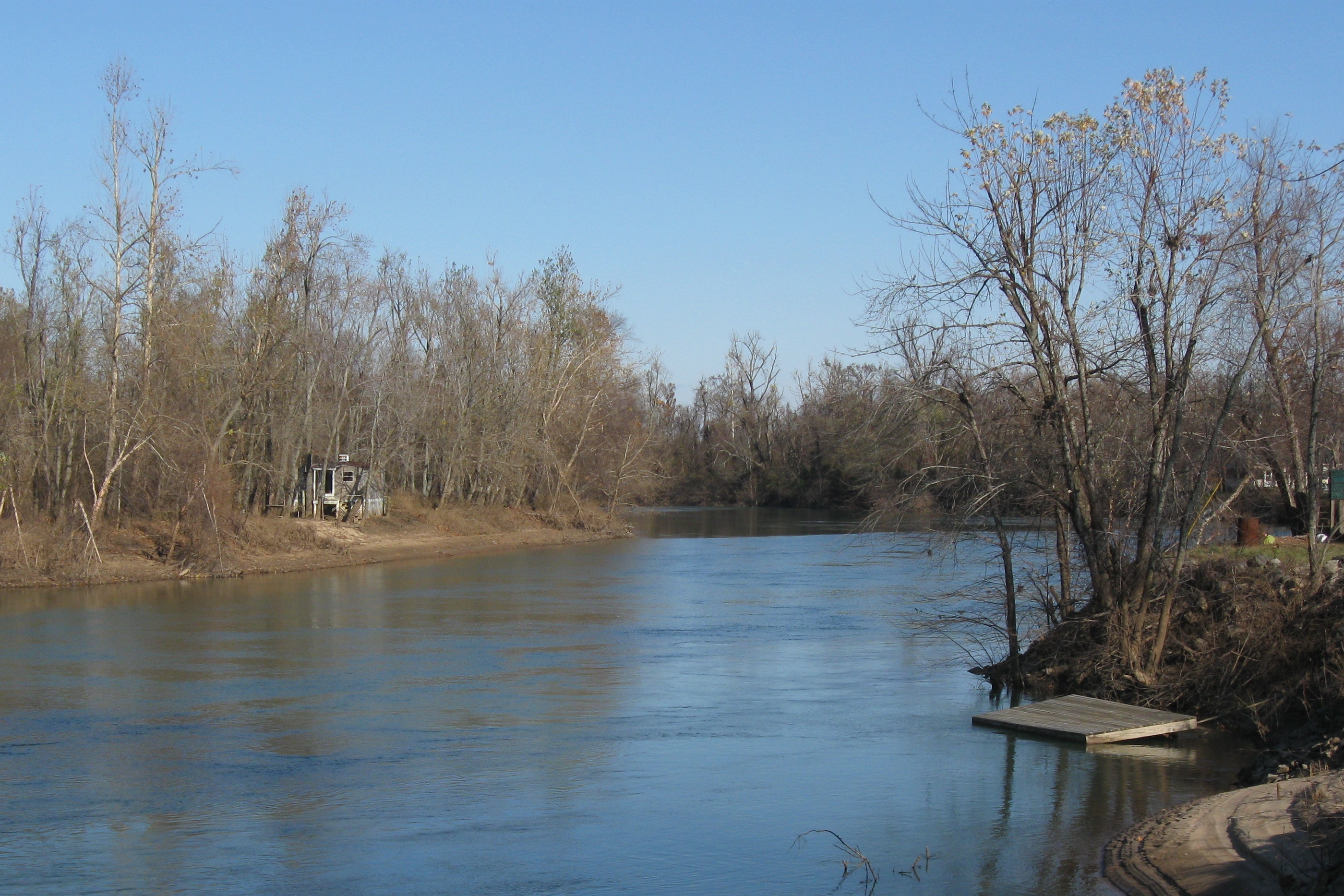
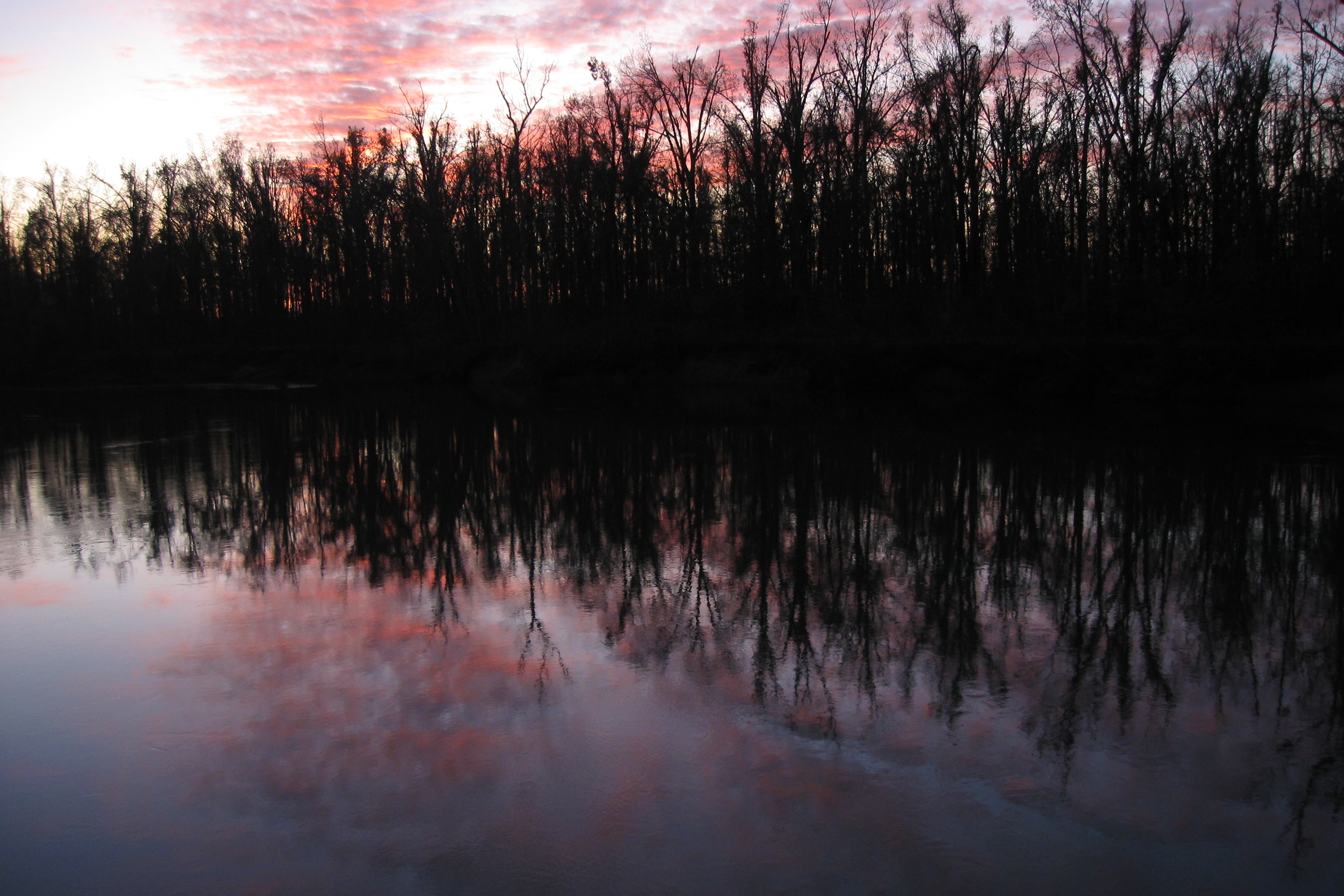
IMG_5068
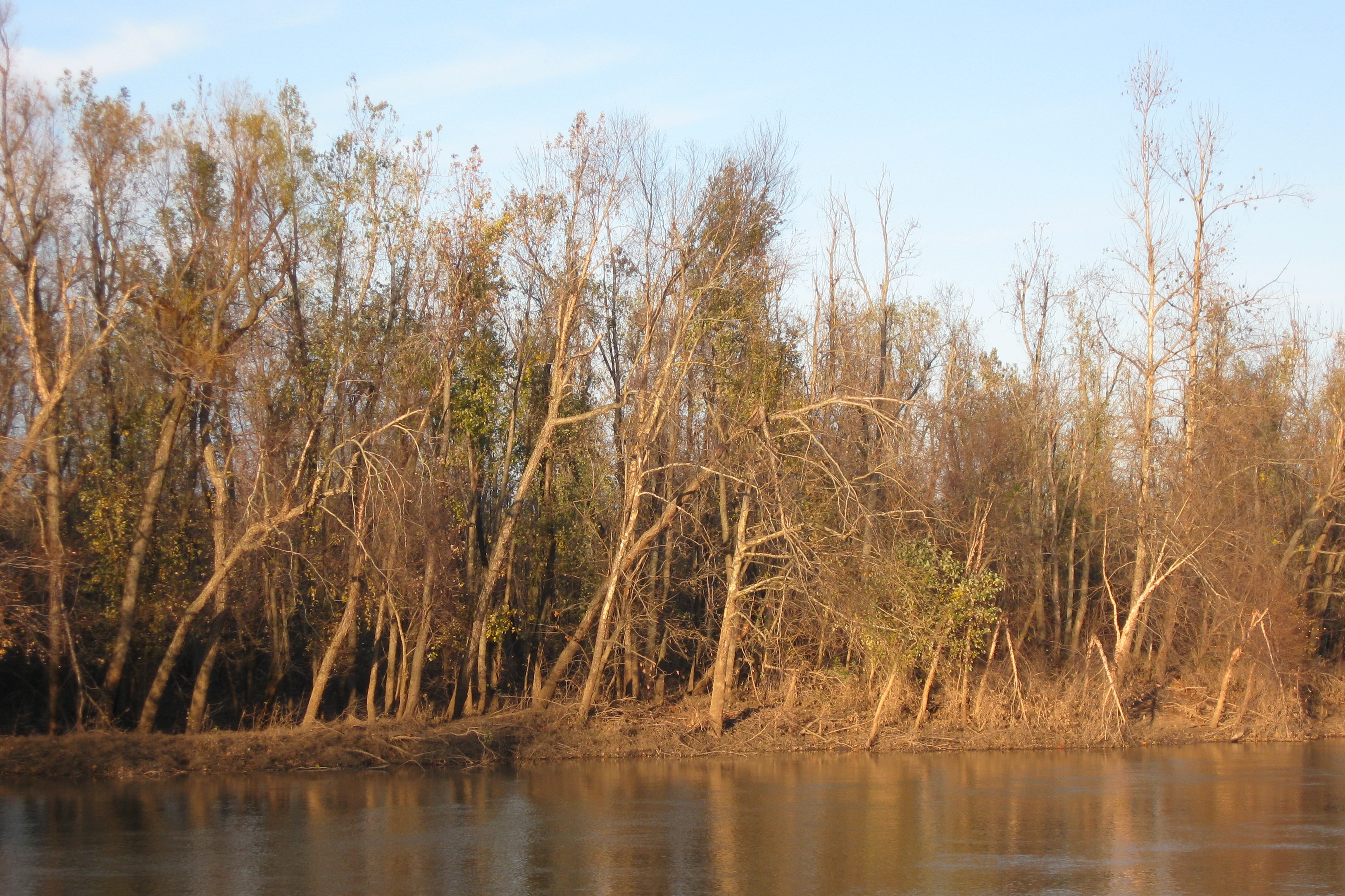
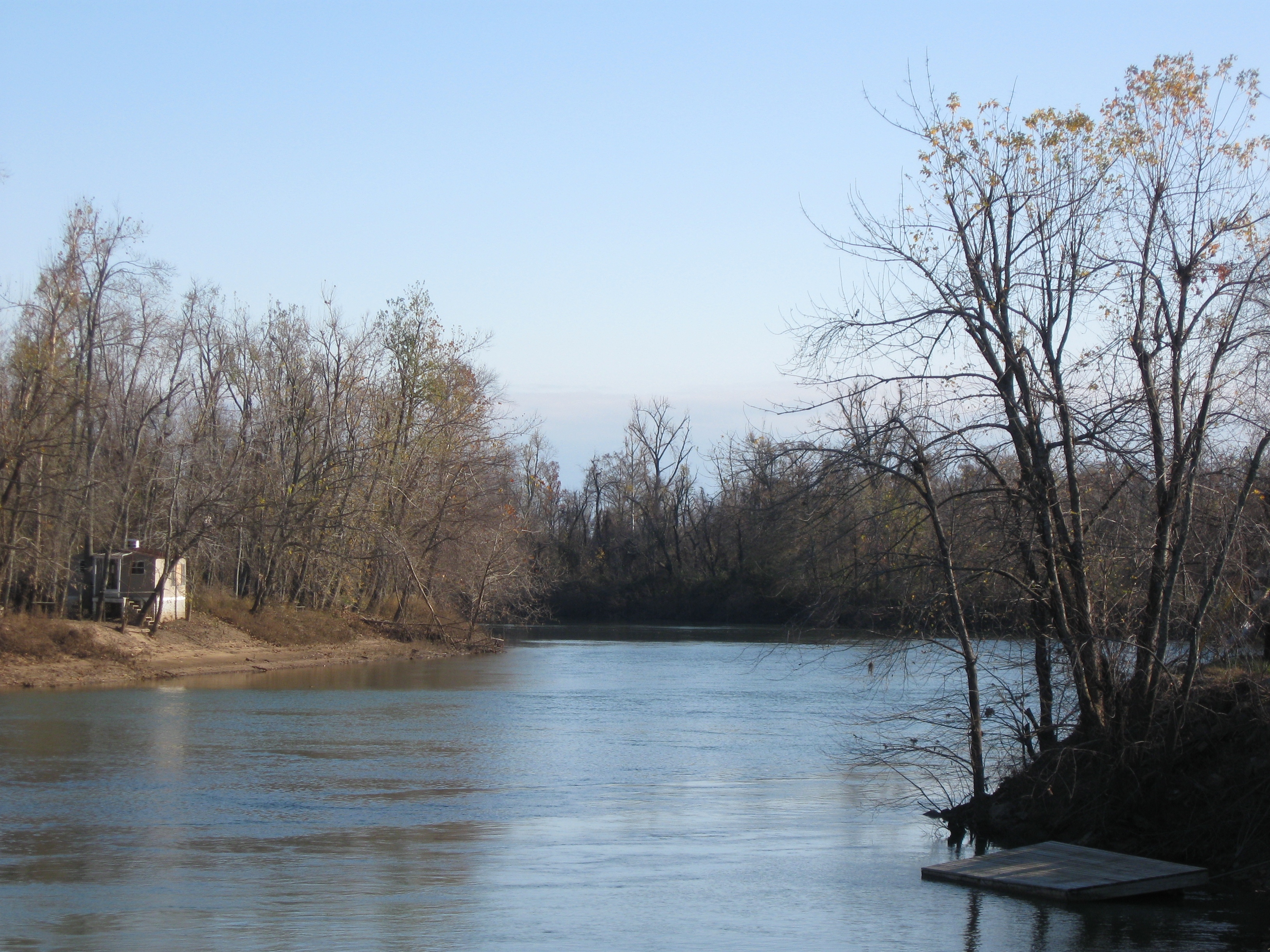
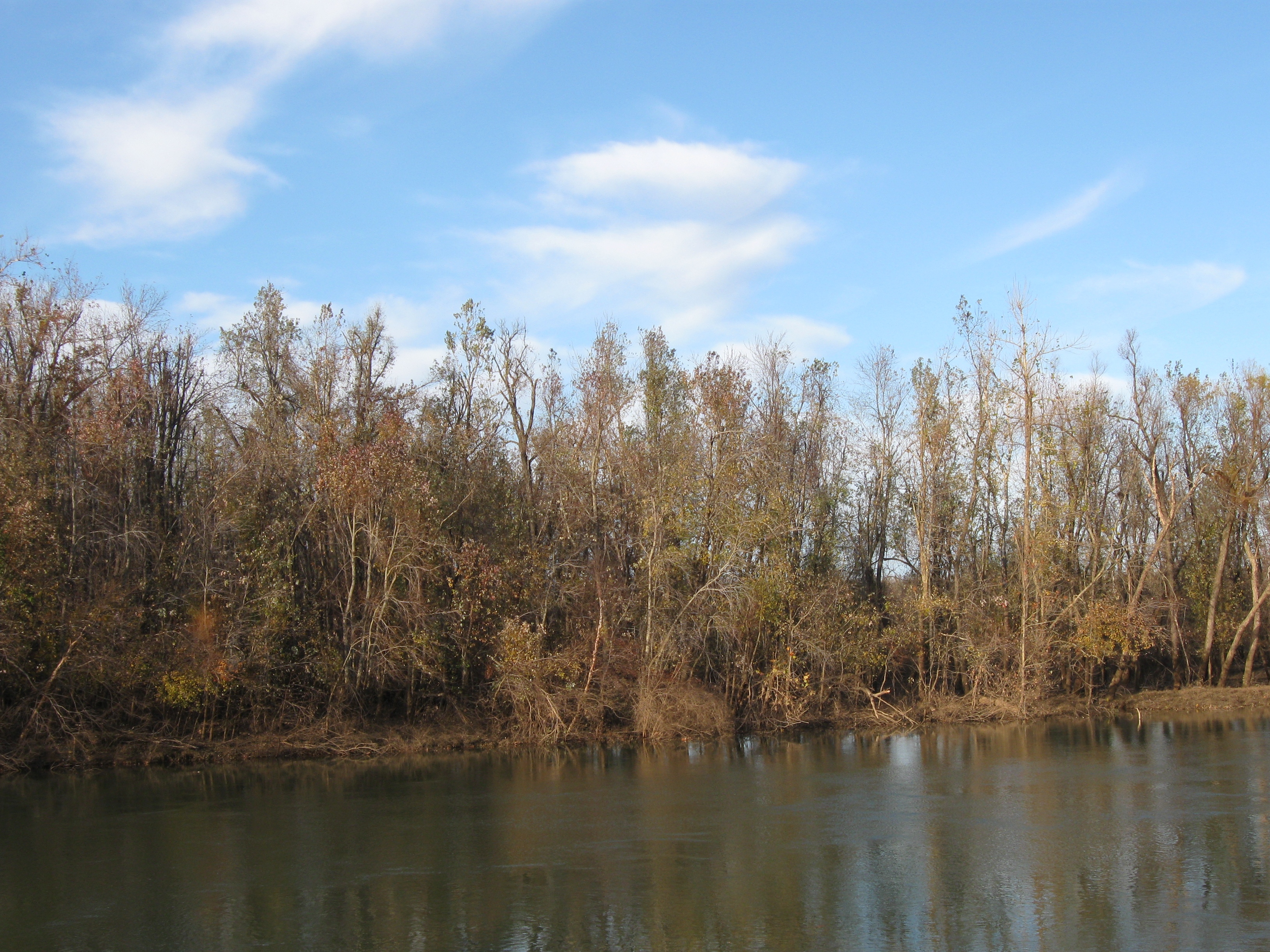
IMG_5042
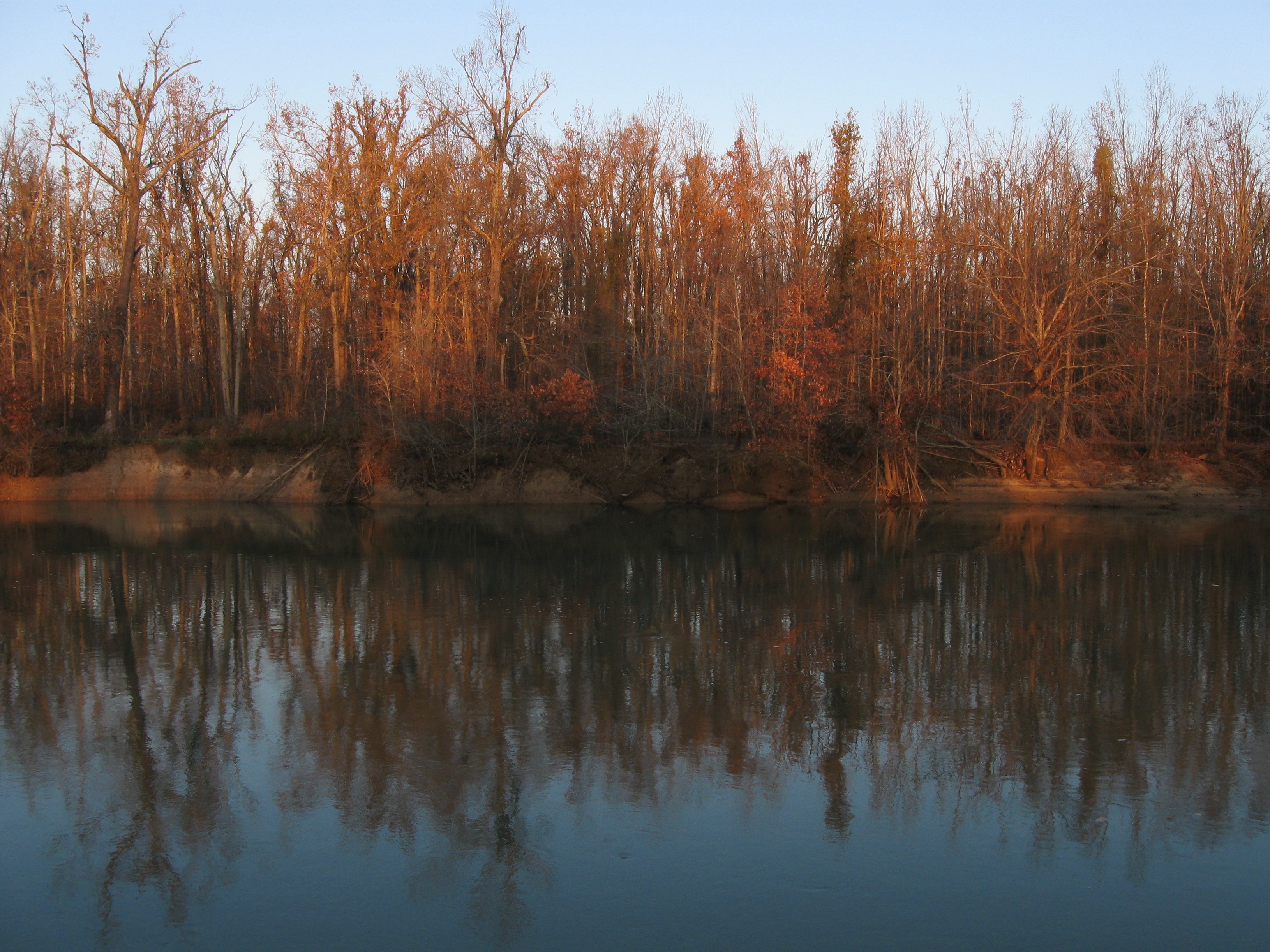
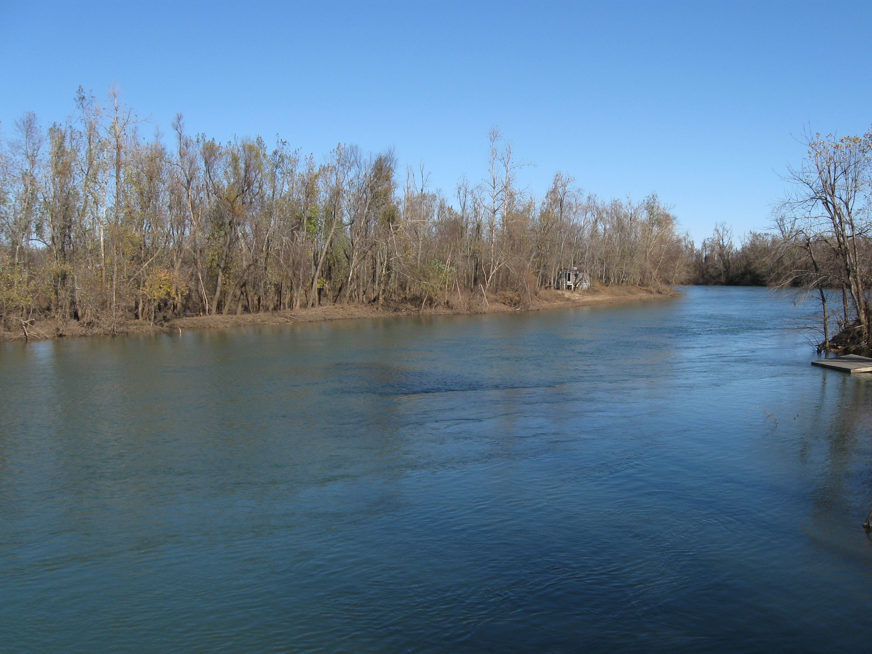
IMG_5065

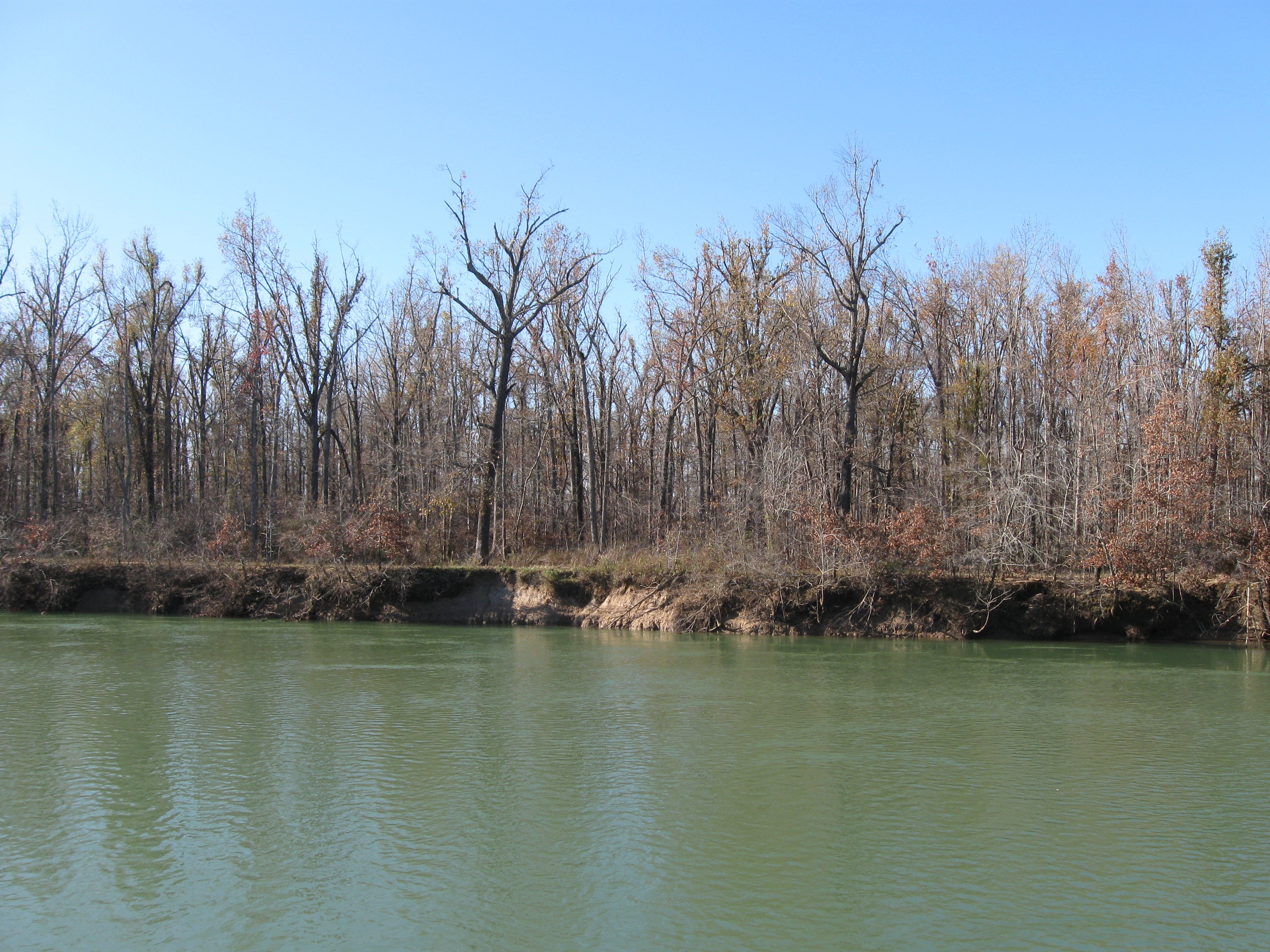
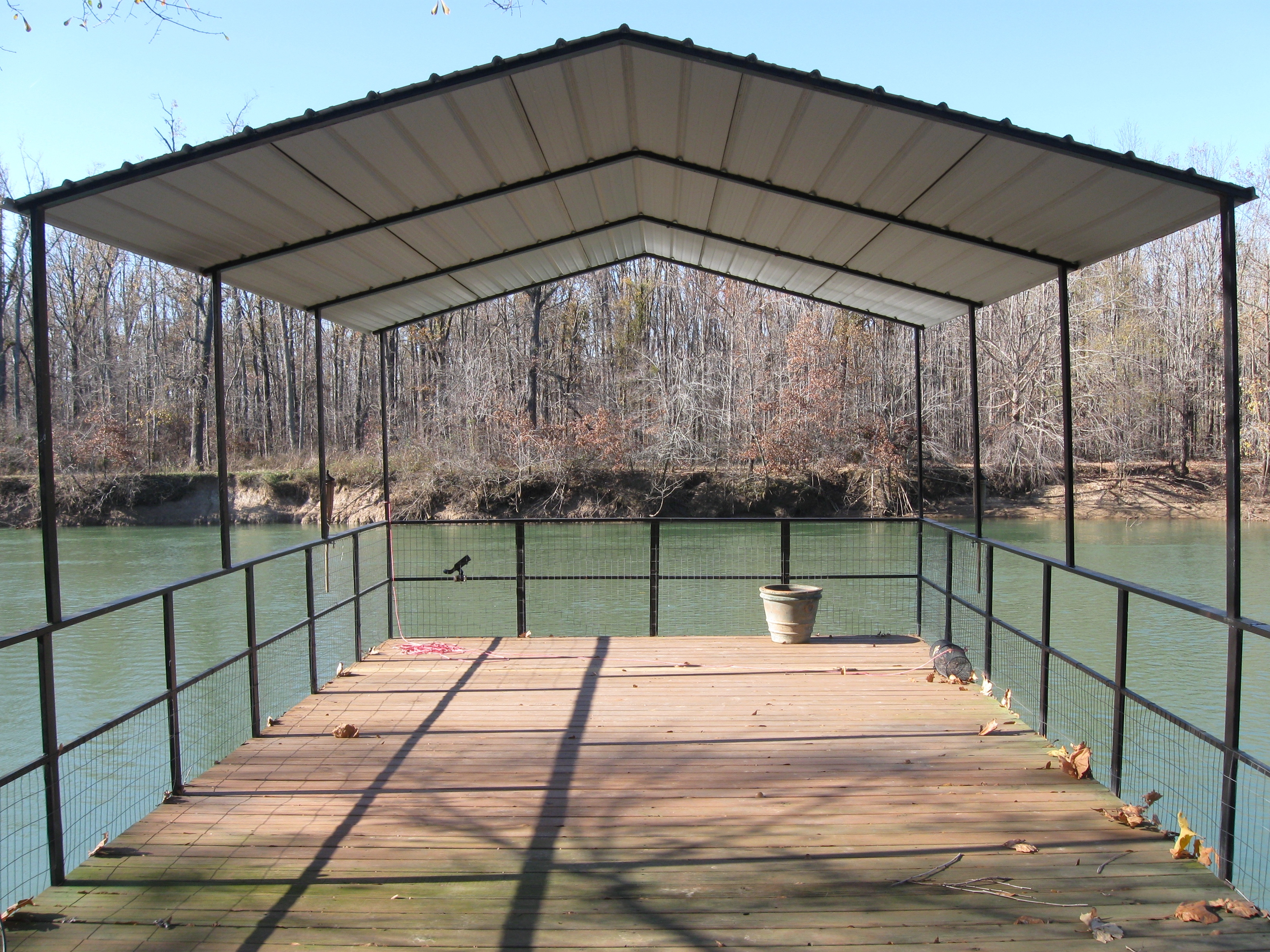
IMG_5066
IMG_5032
IMG_5081
IMG_5072
IMG_5031
IMG_5030
IMG_5079
IMG_5060

IMG_5059

IMG_5058

IMG_5057
IMG_5056
IMG_5053

IMG_5051

IMG_5050

IMG_5043
IMG_5039
Topographic Map of AR-34, Delaplaine, AR, USA
Find elevation by address:

Places near AR-34, Delaplaine, AR, USA:
Delaplaine
Jones Township
AR-34, Beech Grove, AR, USA
AR-34, O'Kean, AR, USA
O'kean
Co Rd, Corning, AR, USA
Biggers
Current River Township
Biggers-Reyno Rd, Biggers, AR, USA
O'kean Township
Sharum Dr, Pocahontas, AR, USA
Reyno Township
Reyno
Biggers-Reyno Rd, Reyno, AR, USA
AR-, Paragould, AR, USA
Sugar Creek Township
Cache Township
12 Co Rd, Corning, AR, USA
Paragould
Greene County
Recent Searches:
- Elevation of Corso Fratelli Cairoli, 35, Macerata MC, Italy
- Elevation of Tallevast Rd, Sarasota, FL, USA
- Elevation of 4th St E, Sonoma, CA, USA
- Elevation of Black Hollow Rd, Pennsdale, PA, USA
- Elevation of Oakland Ave, Williamsport, PA, USA
- Elevation of Pedrógão Grande, Portugal
- Elevation of Klee Dr, Martinsburg, WV, USA
- Elevation of Via Roma, Pieranica CR, Italy
- Elevation of Tavkvetili Mountain, Georgia
- Elevation of Hartfords Bluff Cir, Mt Pleasant, SC, USA