Elevation of Siloam Rd, Maynard, AR, USA
Location: United States > Arkansas > Randolph County > Siloam Township >
Longitude: -90.902737
Latitude: 36.451985
Elevation: 143m / 469feet
Barometric Pressure: 100KPa
Elevation Map:
Satellite Map:
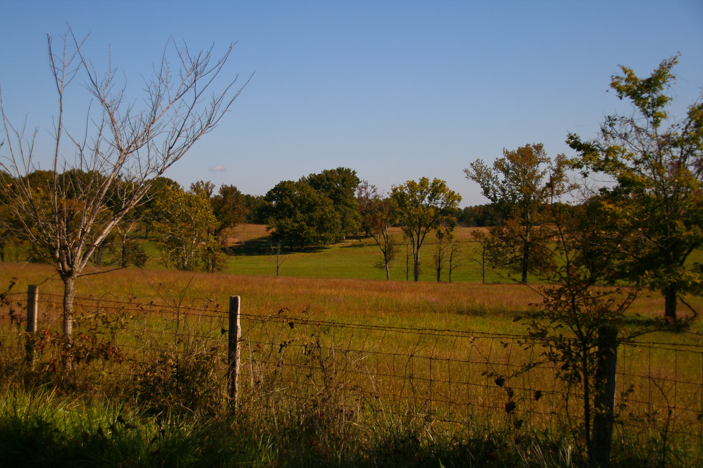
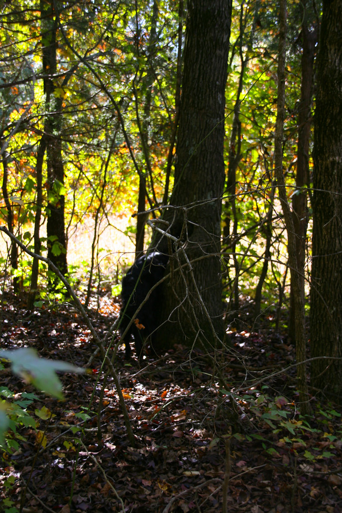
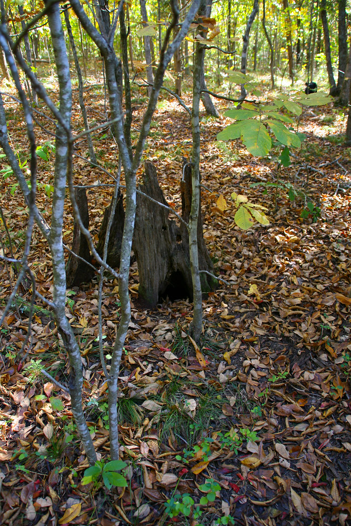
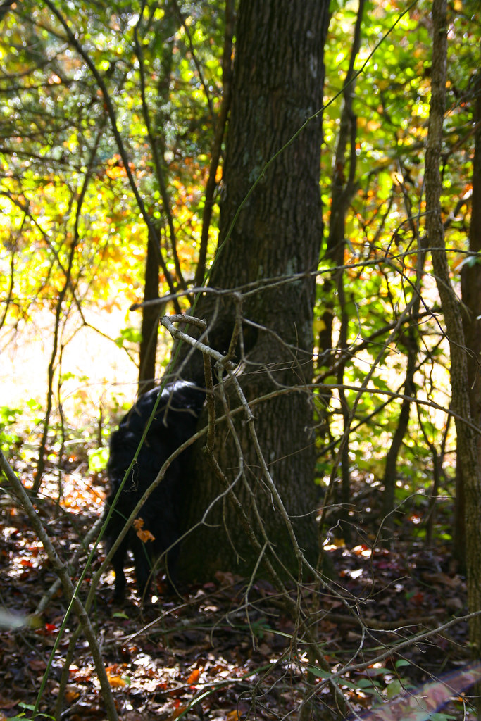
Related Photos:

20081025_0416
20081025_0309
20081025_0432

20081025_0397
20081025_0439

20081025_0440

20081025_0393
20081025_0431
20081025_0445
20081025_0414
20081025_0446

20081025_0270
20081025_0401

20081025_0255

20081025_0269
Topographic Map of Siloam Rd, Maynard, AR, USA
Find elevation by address:

Places near Siloam Rd, Maynard, AR, USA:
Siloam Township
Maynard
AR-, Maynard, AR, USA
Richardson Township
Warm Springs Rd, Warm Springs, AR, USA
Columbia Township
Ingram Township
1345 Palestine Rd
AR-, Pocahontas, AR, USA
Randolph County
State Hwy E, Doniphan, MO, USA
Warm Springs Township
Warm Springs
Parkview, Warm Springs, AR, USA
Biggers-Reyno Rd, Biggers, AR, USA
Biggers
State Hwy, Pocahontas, AR, USA
Harris Township
Reyno Township
Brown-carpenter Township
Recent Searches:
- Elevation of Côte-des-Neiges, Montreal, QC H4A 3J6, Canada
- Elevation of Bobcat Dr, Helena, MT, USA
- Elevation of Zu den Ihlowbergen, Althüttendorf, Germany
- Elevation of Badaber, Peshawar, Khyber Pakhtunkhwa, Pakistan
- Elevation of SE Heron Loop, Lincoln City, OR, USA
- Elevation of Slanický ostrov, 01 Námestovo, Slovakia
- Elevation of Spaceport America, Co Rd A, Truth or Consequences, NM, USA
- Elevation of Warwick, RI, USA
- Elevation of Fern Rd, Whitmore, CA, USA
- Elevation of 62 Abbey St, Marshfield, MA, USA