Elevation of Columbia Township, AR, USA
Location: United States > Arkansas > Randolph County >
Longitude: -90.934297
Latitude: 36.3786684
Elevation: 132m / 433feet
Barometric Pressure: 100KPa
Elevation Map:
Satellite Map:
Related Photos:

IMG_4385
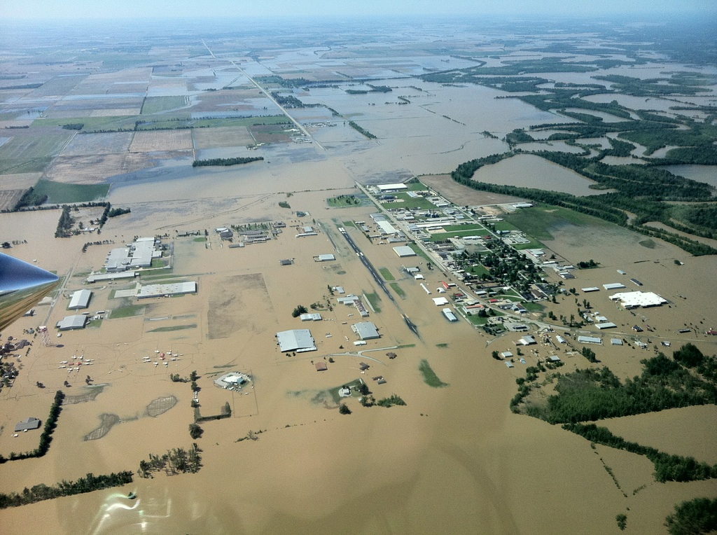
pocahontas ark airport 4-28-11

Pawpaw is tuckered out. ????
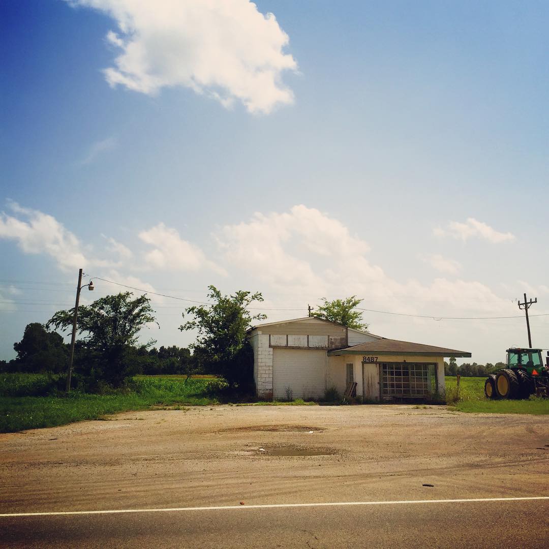
When I see places like this on the side of the road I can't help but get lost in my wondering...who used to be around here? Whose lives were changed here? What's the story? #nerd #dork #stuffiwonderabout #clouds #building #abandoned #arkansas #roadside

Old Randolph County Courthouse

Old Randolph County Courthouse
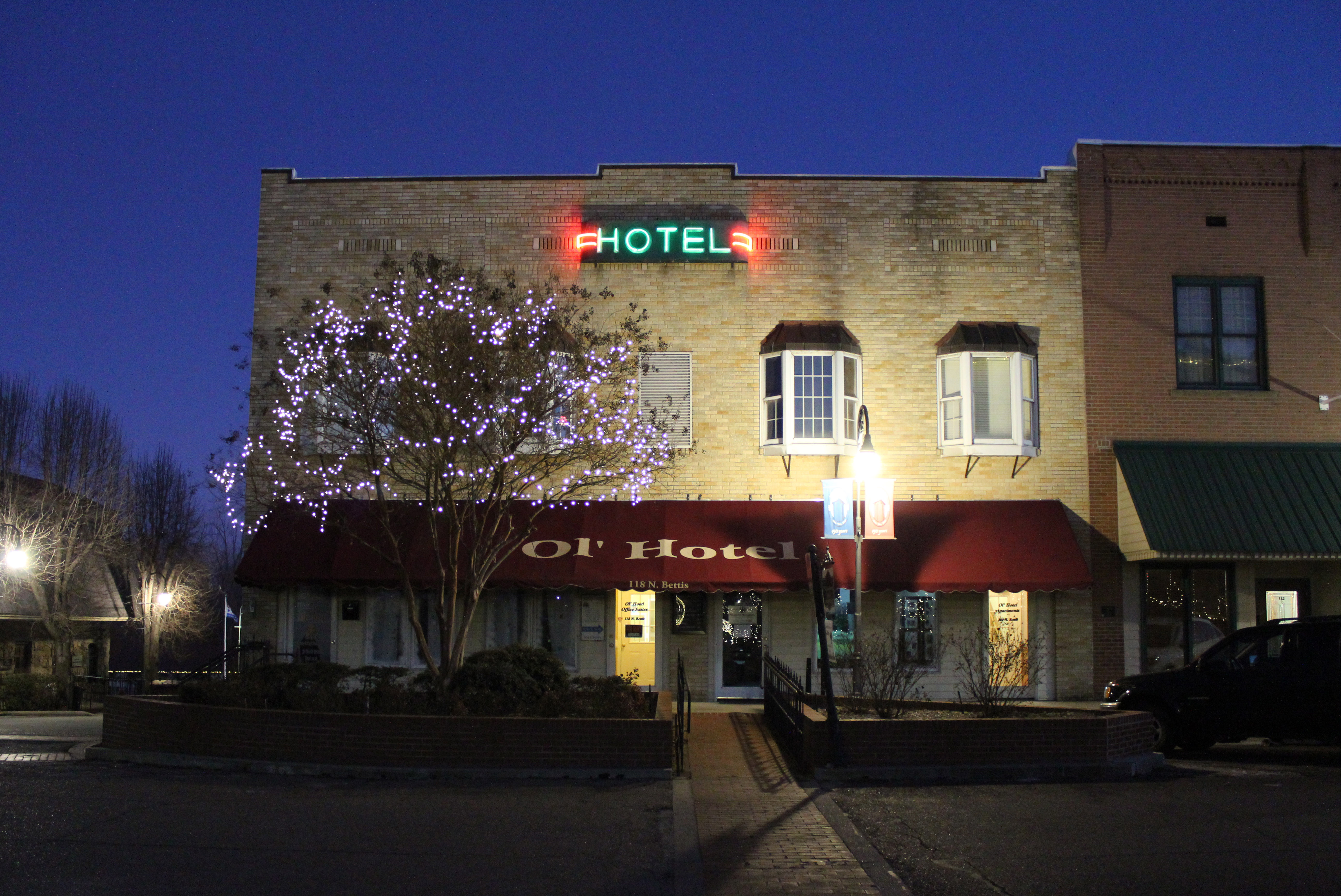
Ol' Hotel

Old Randolph County Courthouse

Sanitary Barber Shop

School bus

Wassailing 2x4s

Western Auto

Eddie Mae Herron Center

Pocahontas, AR

Pocahontas, AR
Down on the Job
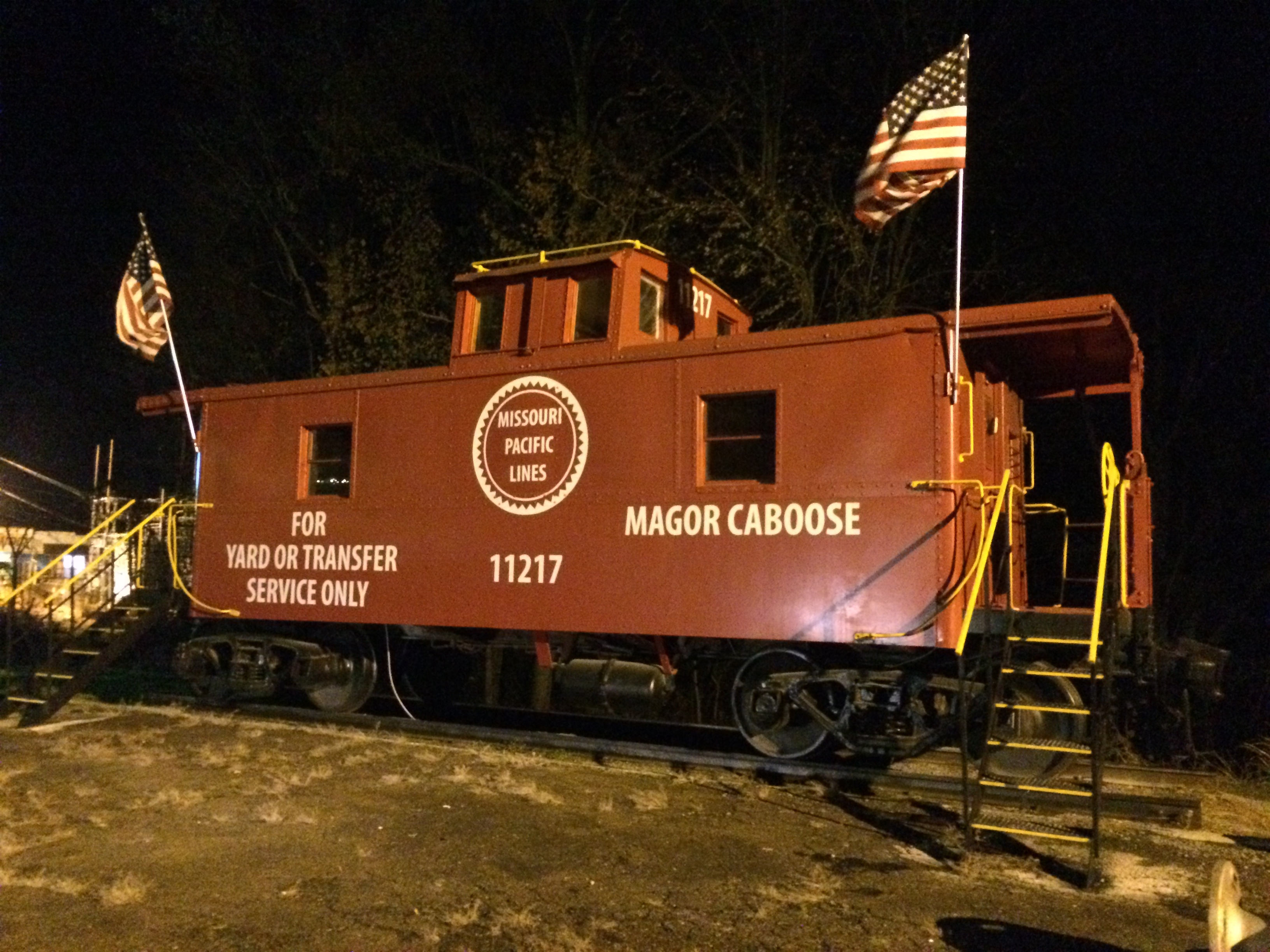
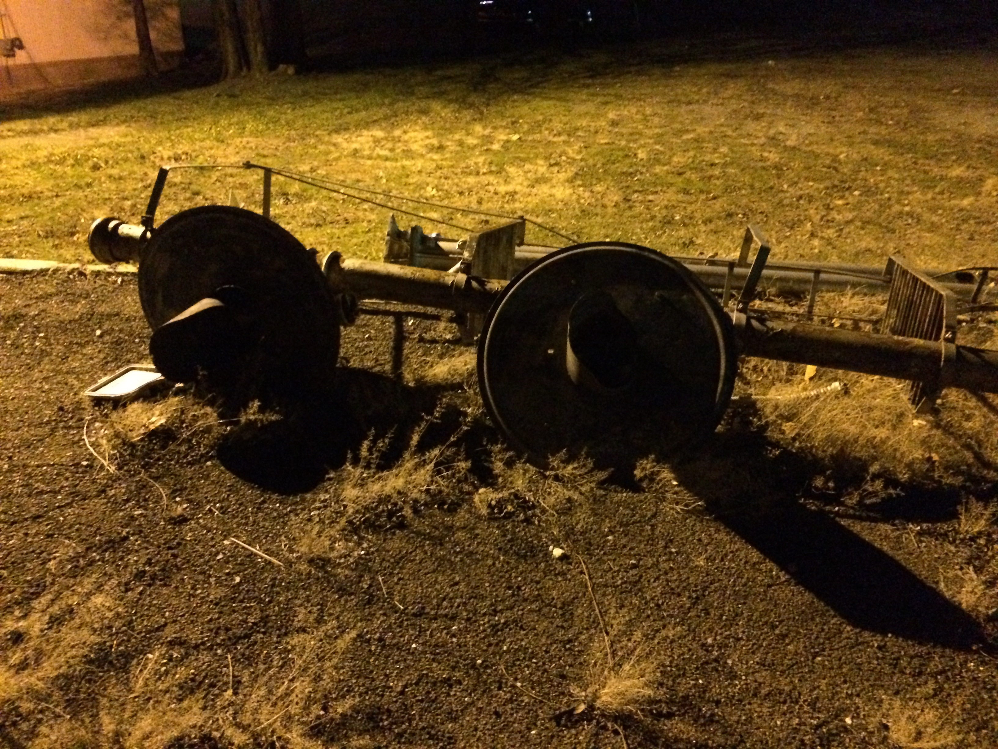
Missouri Pacific 11217

20050817 06 Pocahontas, Arkansas
Topographic Map of Columbia Township, AR, USA
Find elevation by address:

Places in Columbia Township, AR, USA:
Places near Columbia Township, AR, USA:
AR-, Pocahontas, AR, USA
AR-, Maynard, AR, USA
Maynard
Randolph County
1345 Palestine Rd
Richardson Township
Ingram Township
Siloam Rd, Maynard, AR, USA
Warm Springs Rd, Warm Springs, AR, USA
Siloam Township
Demun
State Hwy, Pocahontas, AR, USA
2002 W Pyburn St
Pocahontas
709 Carroll St
Current River Township
US-67, Pocahontas, AR, USA
Biggers-Reyno Rd, Biggers, AR, USA
Biggers
Warm Springs Township
Recent Searches:
- Elevation of Kreuzburger Weg 13, Düsseldorf, Germany
- Elevation of Gateway Blvd SE, Canton, OH, USA
- Elevation of East W.T. Harris Boulevard, E W.T. Harris Blvd, Charlotte, NC, USA
- Elevation of West Sugar Creek, Charlotte, NC, USA
- Elevation of Wayland, NY, USA
- Elevation of Steadfast Ct, Daphne, AL, USA
- Elevation of Lagasgasan, X+CQH, Tiaong, Quezon, Philippines
- Elevation of Rojo Ct, Atascadero, CA, USA
- Elevation of Flagstaff Drive, Flagstaff Dr, North Carolina, USA
- Elevation of Avery Ln, Lakeland, FL, USA