Elevation of Wampoo Rd, England, AR, USA
Location: United States > Arkansas > Pulaski County > Hill Township >
Longitude: -92.083682
Latitude: 34.552321
Elevation: 72m / 236feet
Barometric Pressure: 100KPa
Elevation Map:
Satellite Map:
Related Photos:
IMG_0226 (2)
IMG_0228 (2)
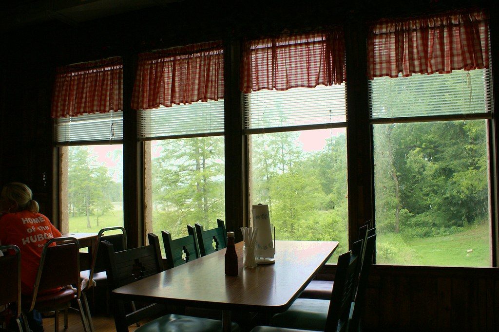
windows at Cotham's
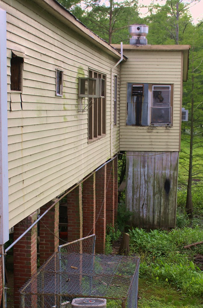
around the side
IMG_0229 (2)
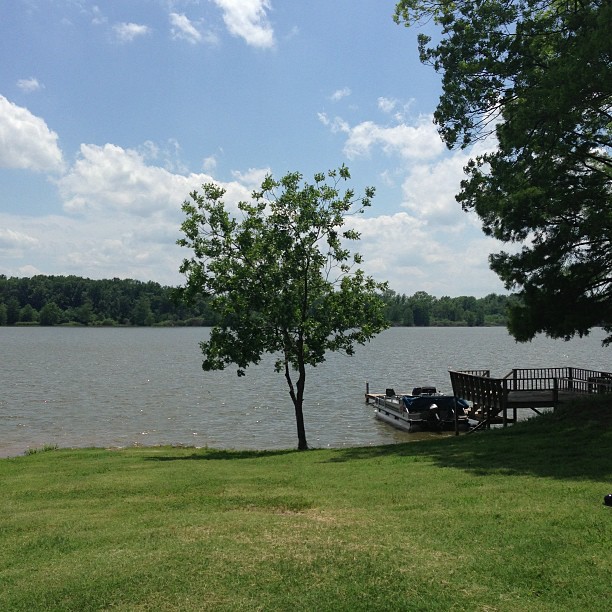
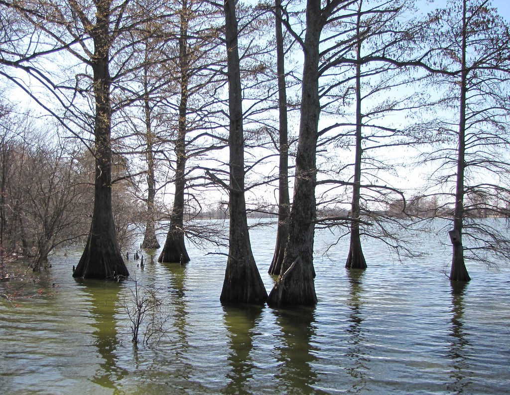
Peaceful and serene views at the lake with the McValleys #memorialday2013

Plum Bayou
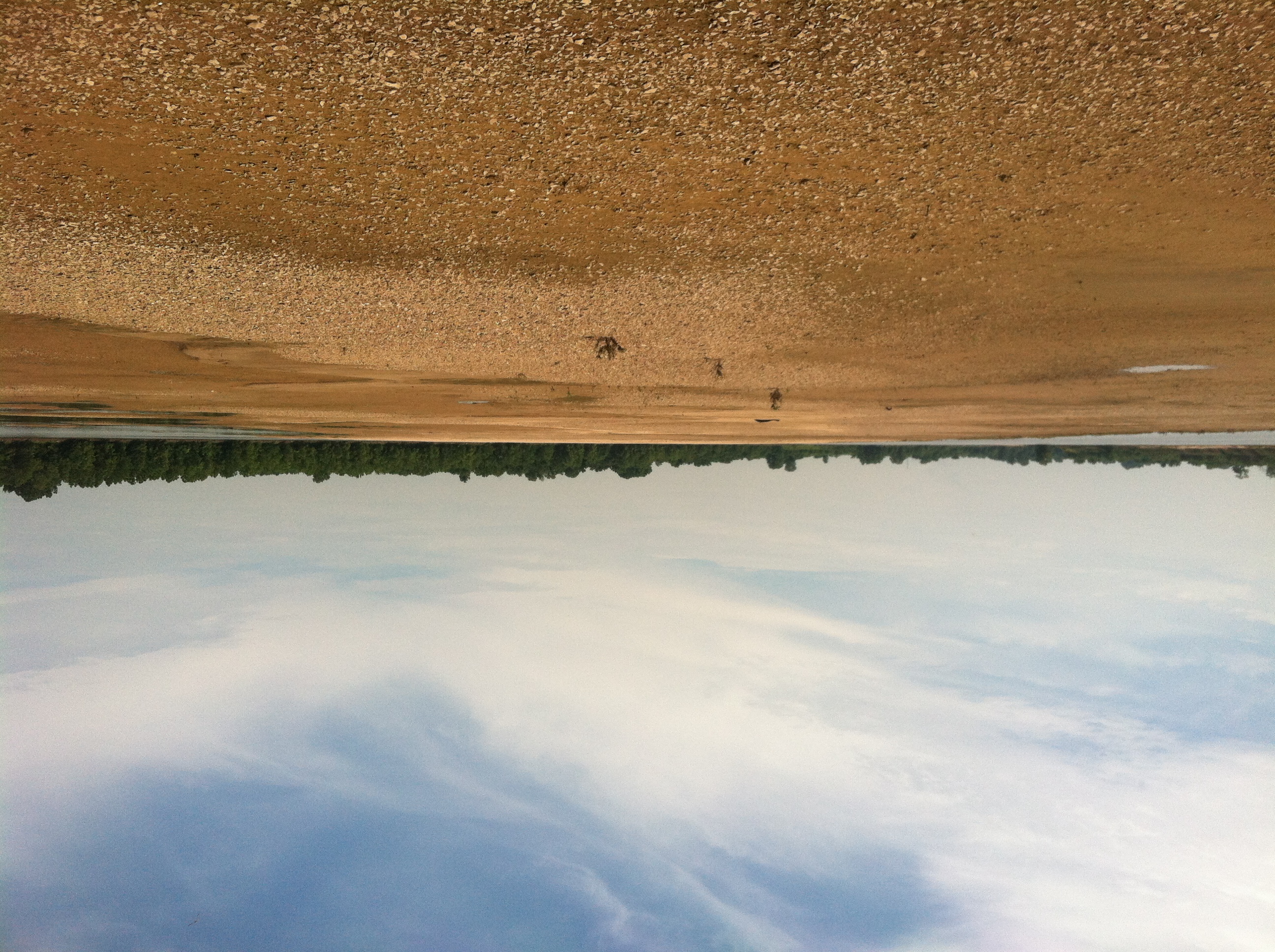
Arkansas River island near mile marker 101
Arkansas River island near mile marker 101
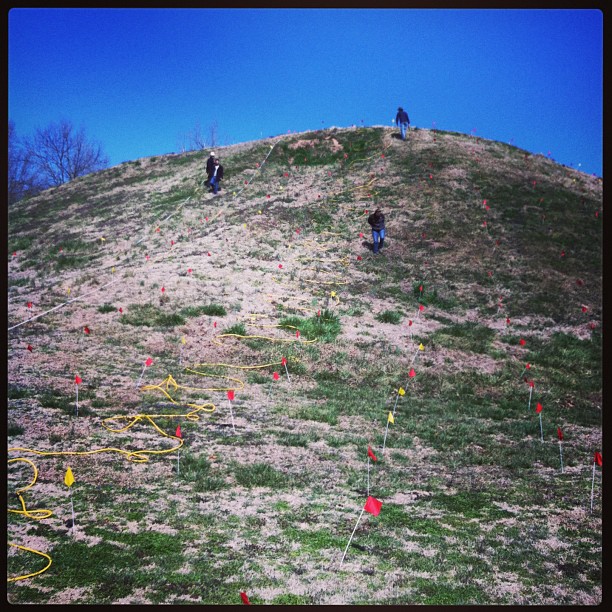
ERT remote sensing on Mound B at Toltec Mounds
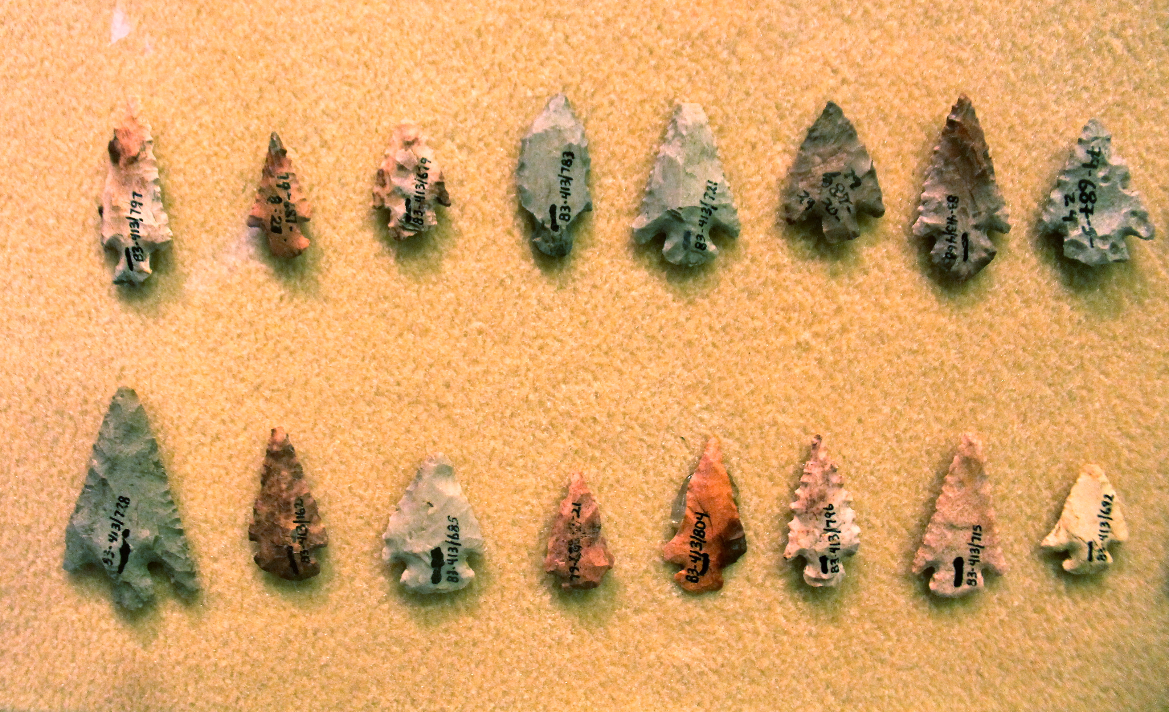
Chert Arrowheads
Ghosts of the Past
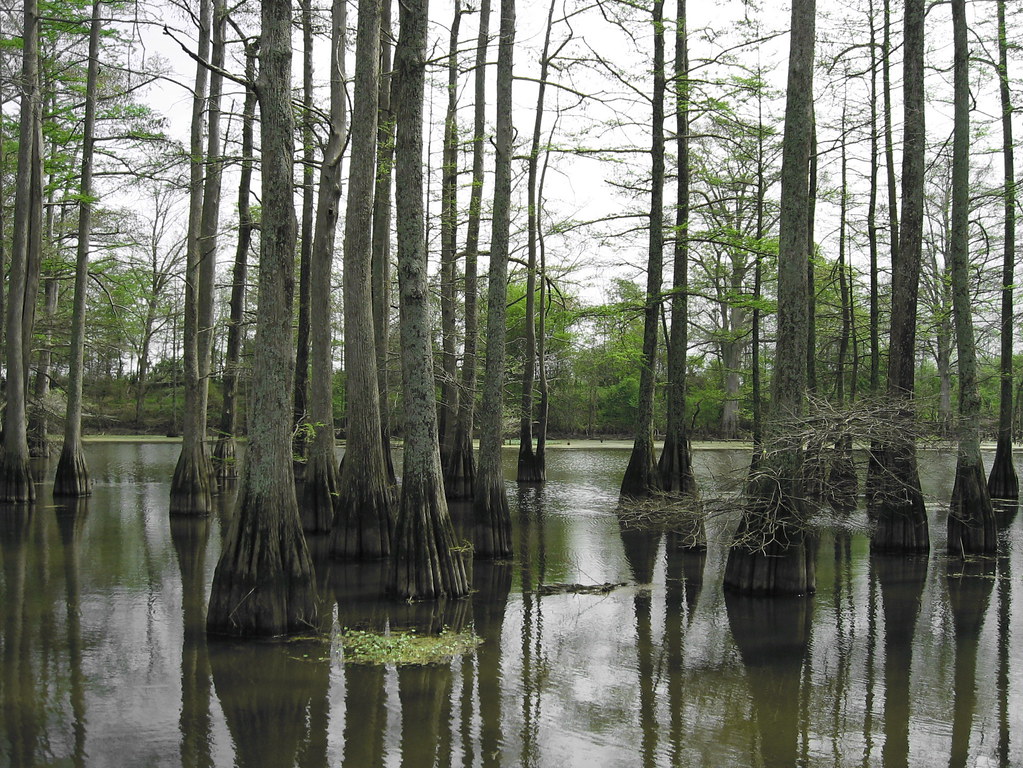
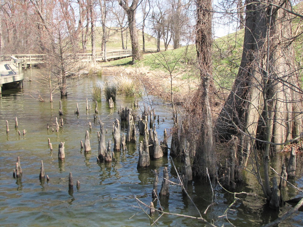
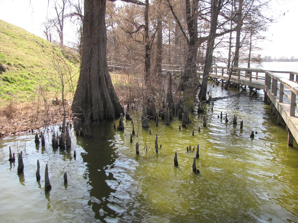
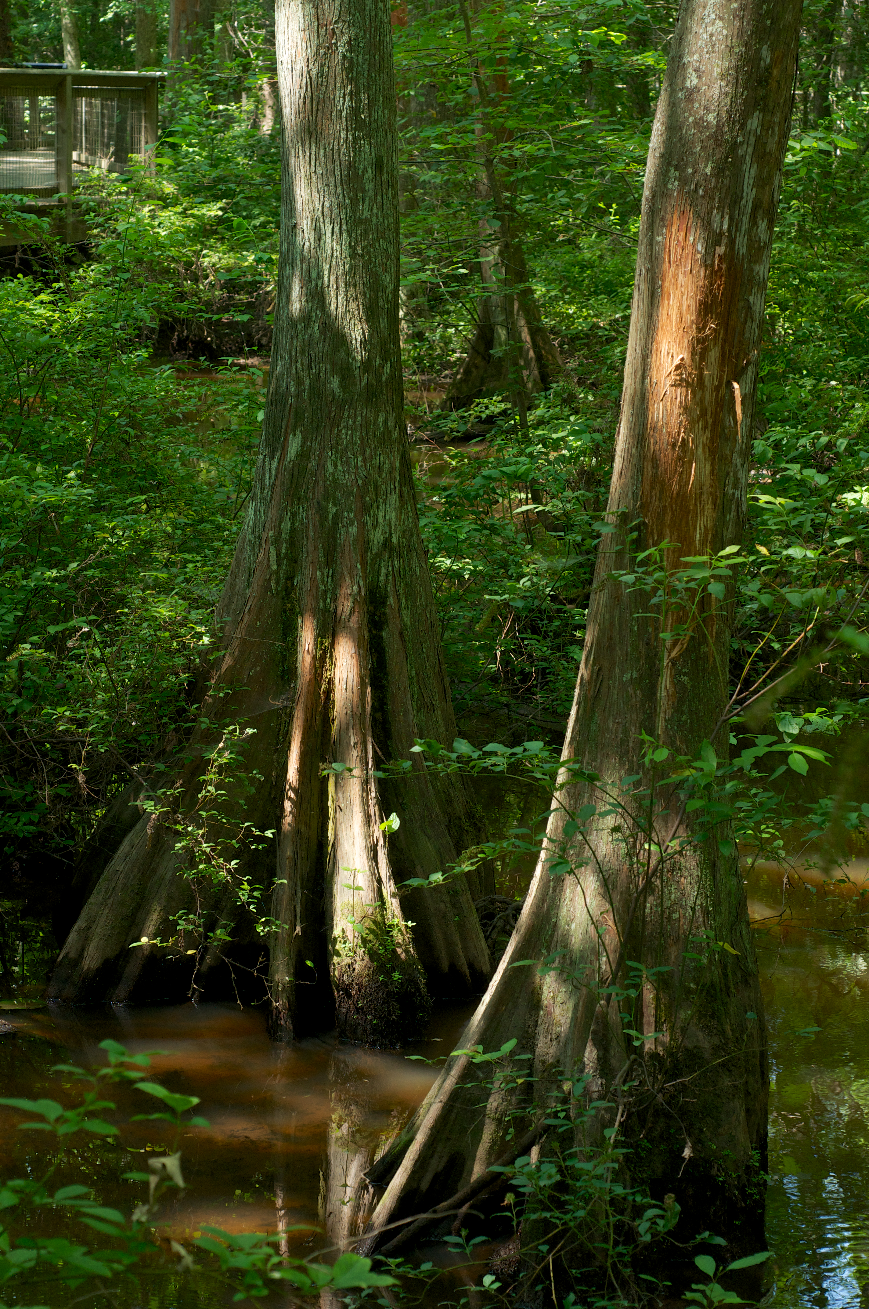
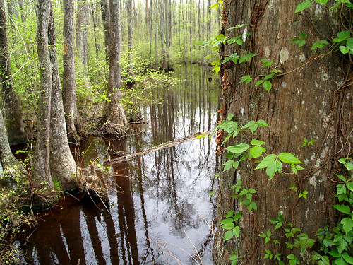
Arkansas Swamp

Lorance Creek Natural Area
Taxodium distichum
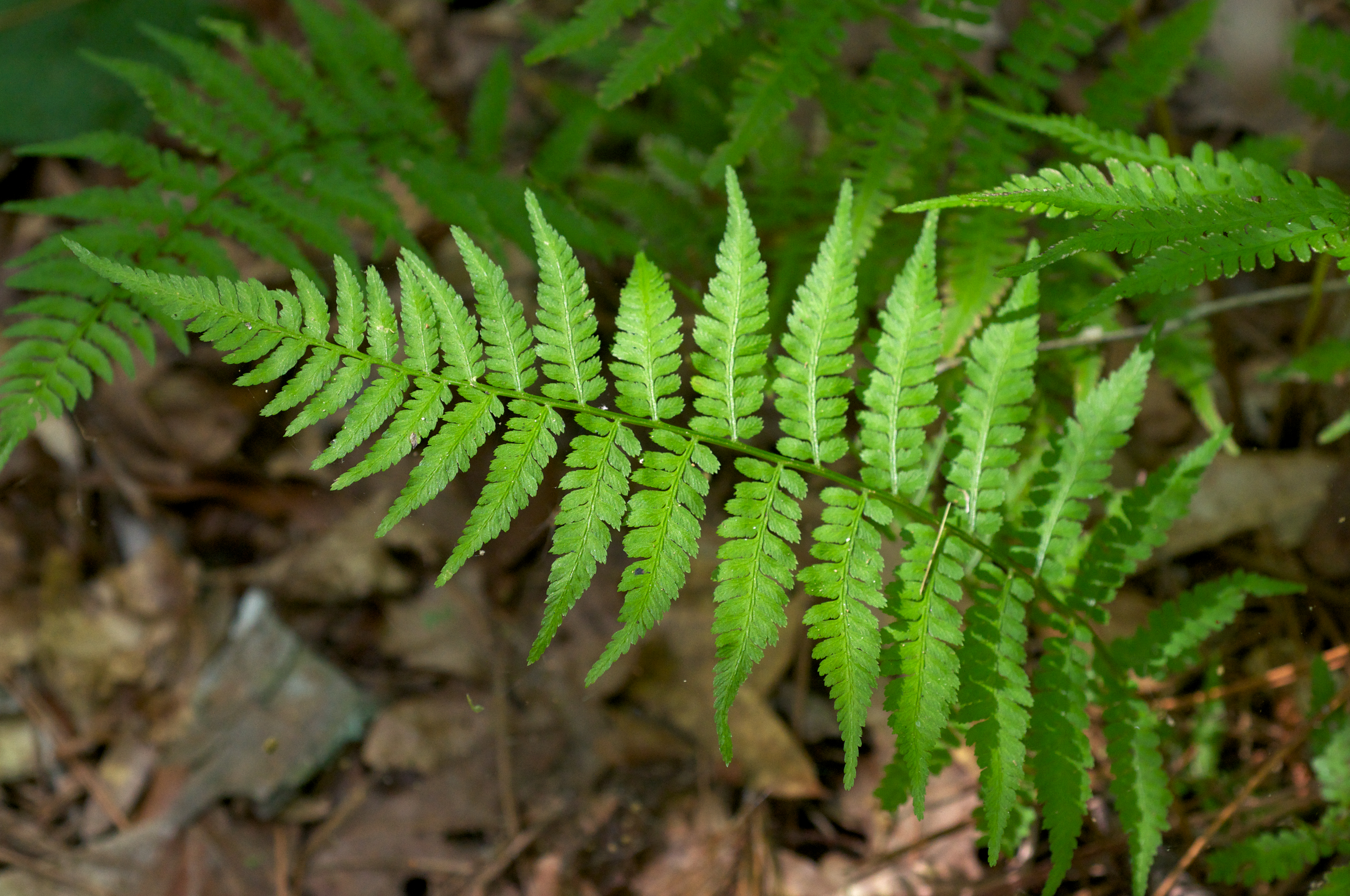
Undetermined Fern
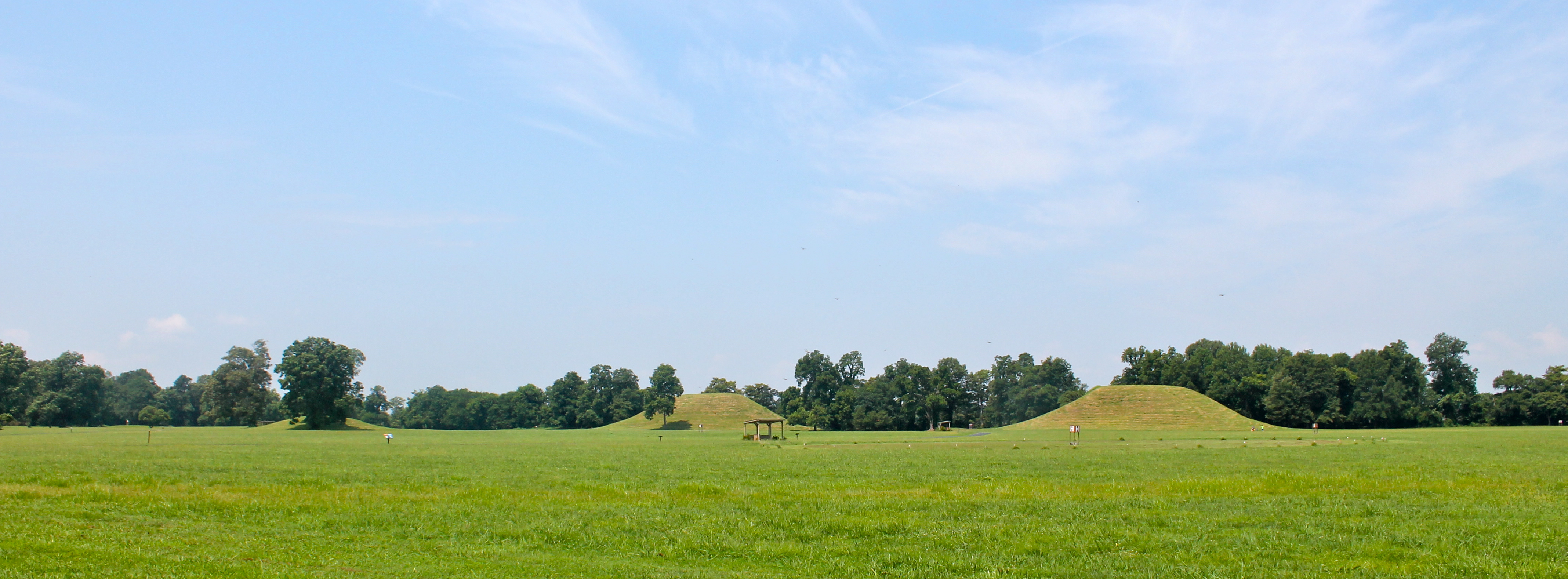
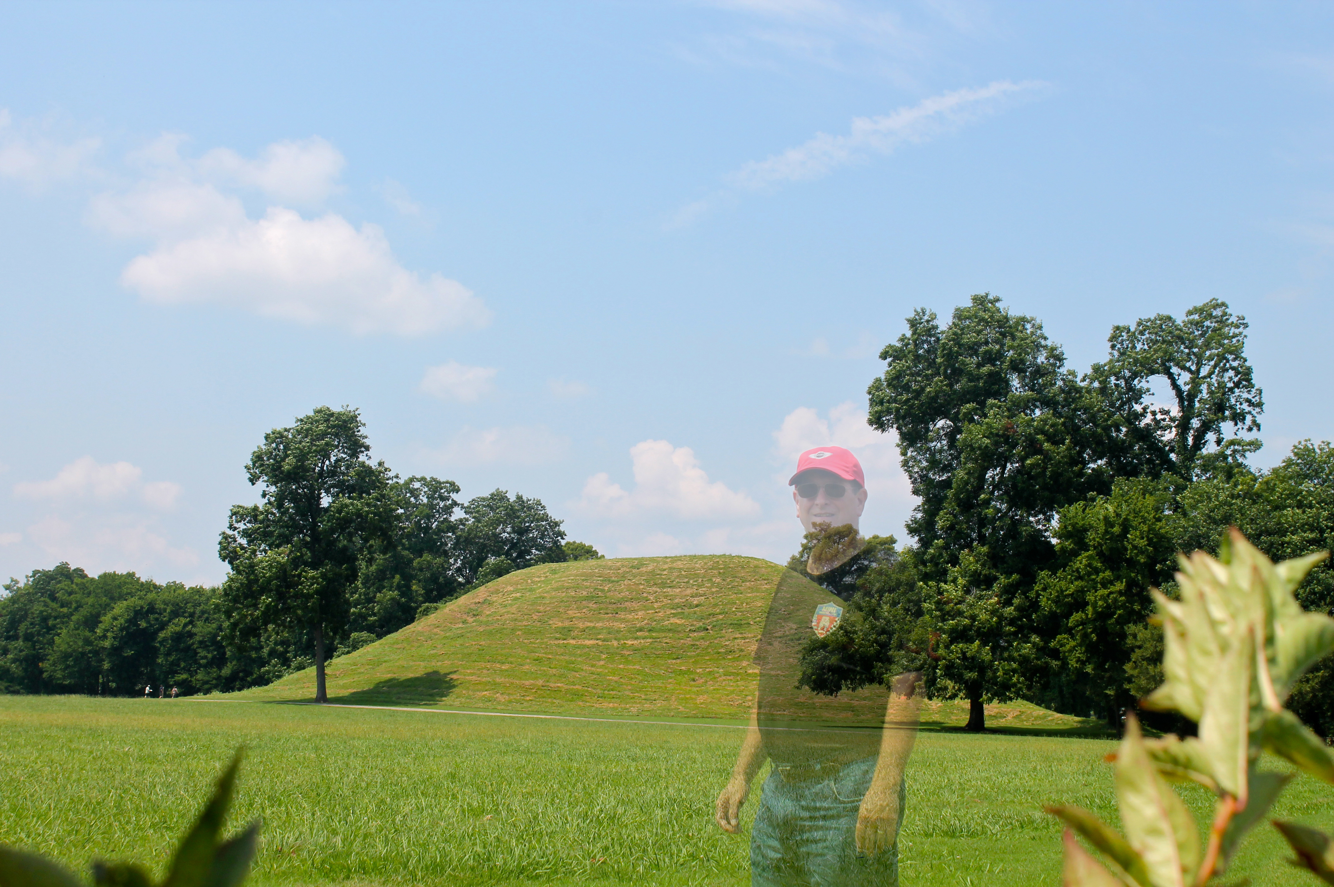
Indian Mounds
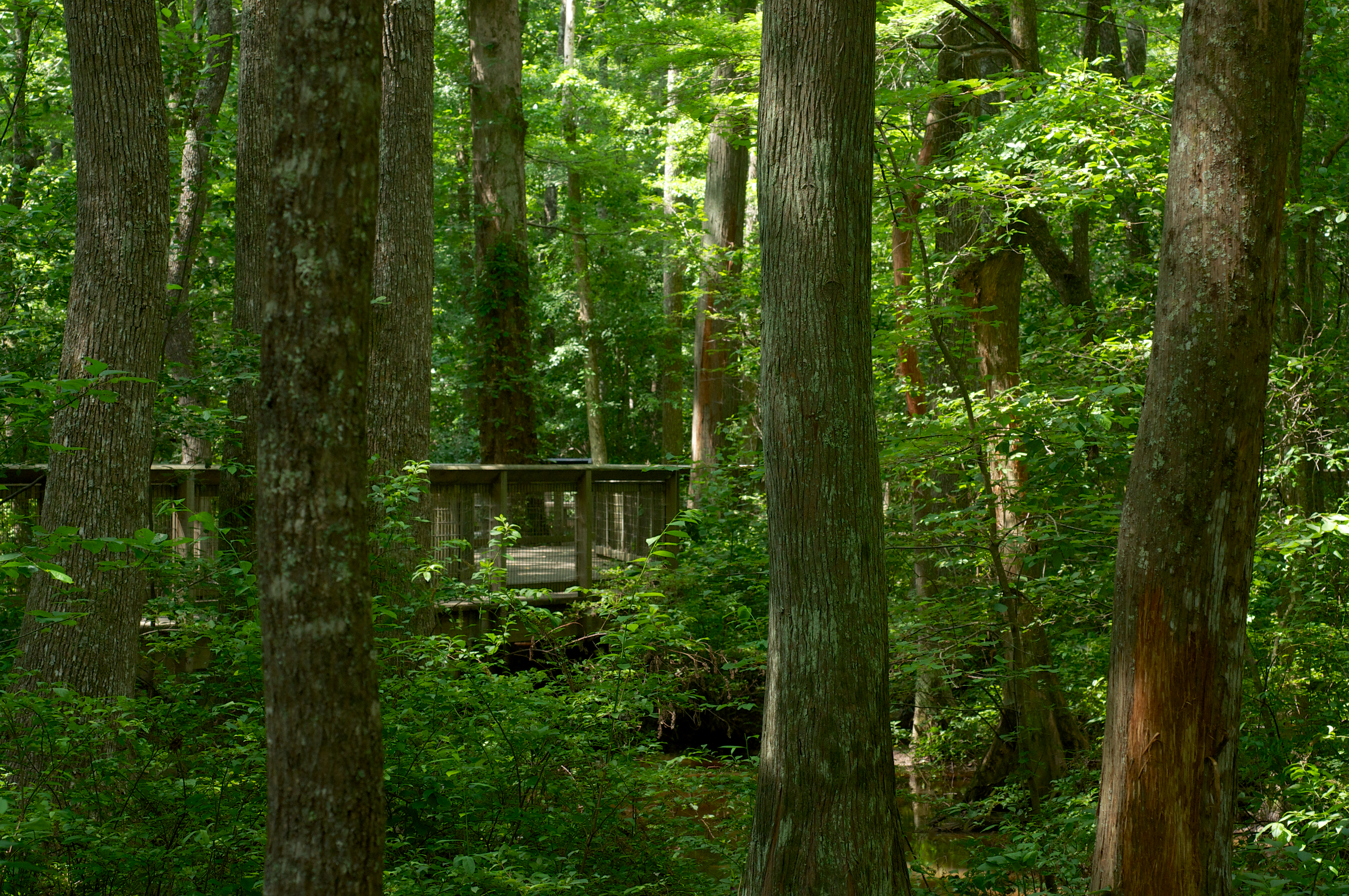
Lorance Creek Natural Area

ERT remote sensing at Mound B at Toltec Mounds...
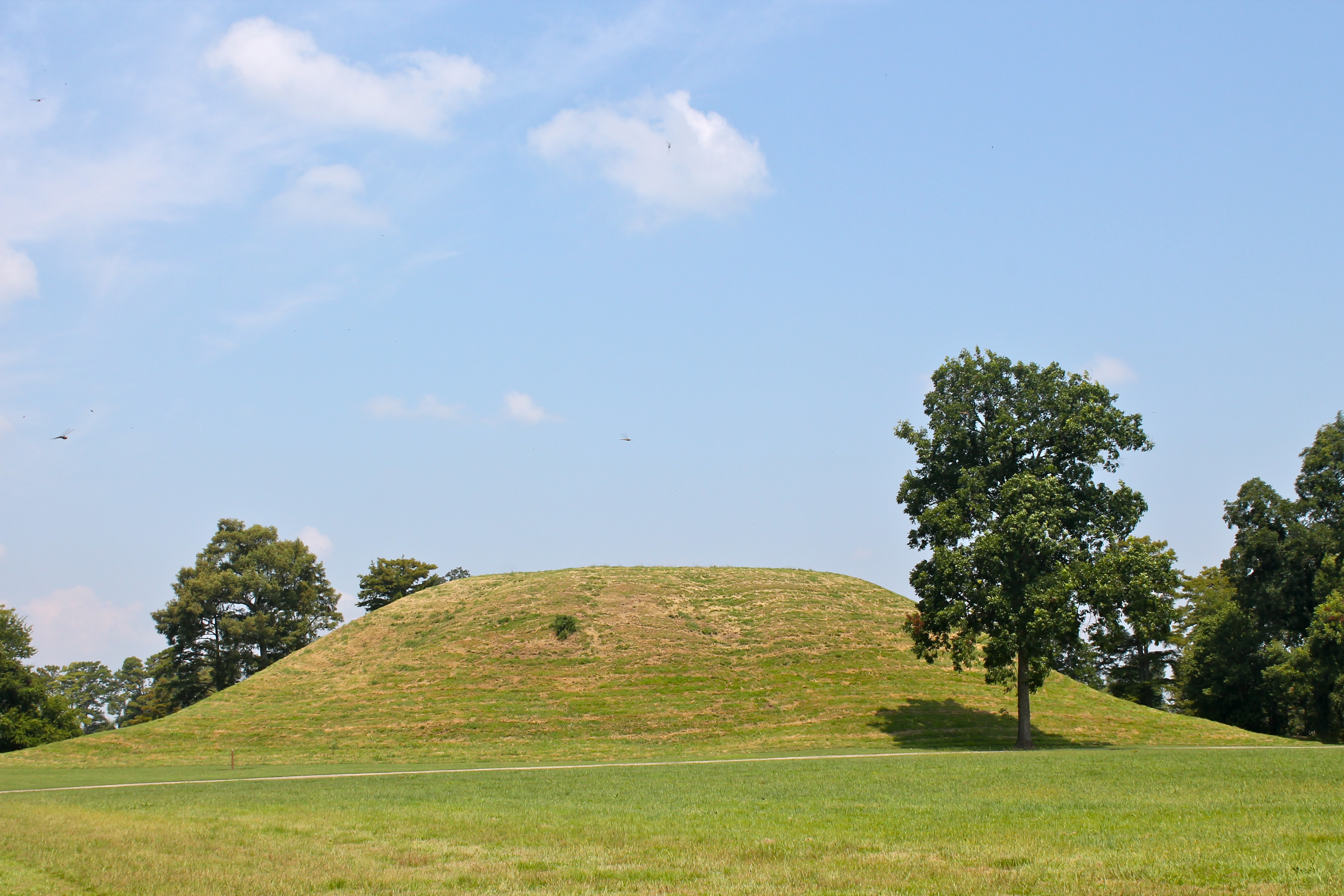
Mound A
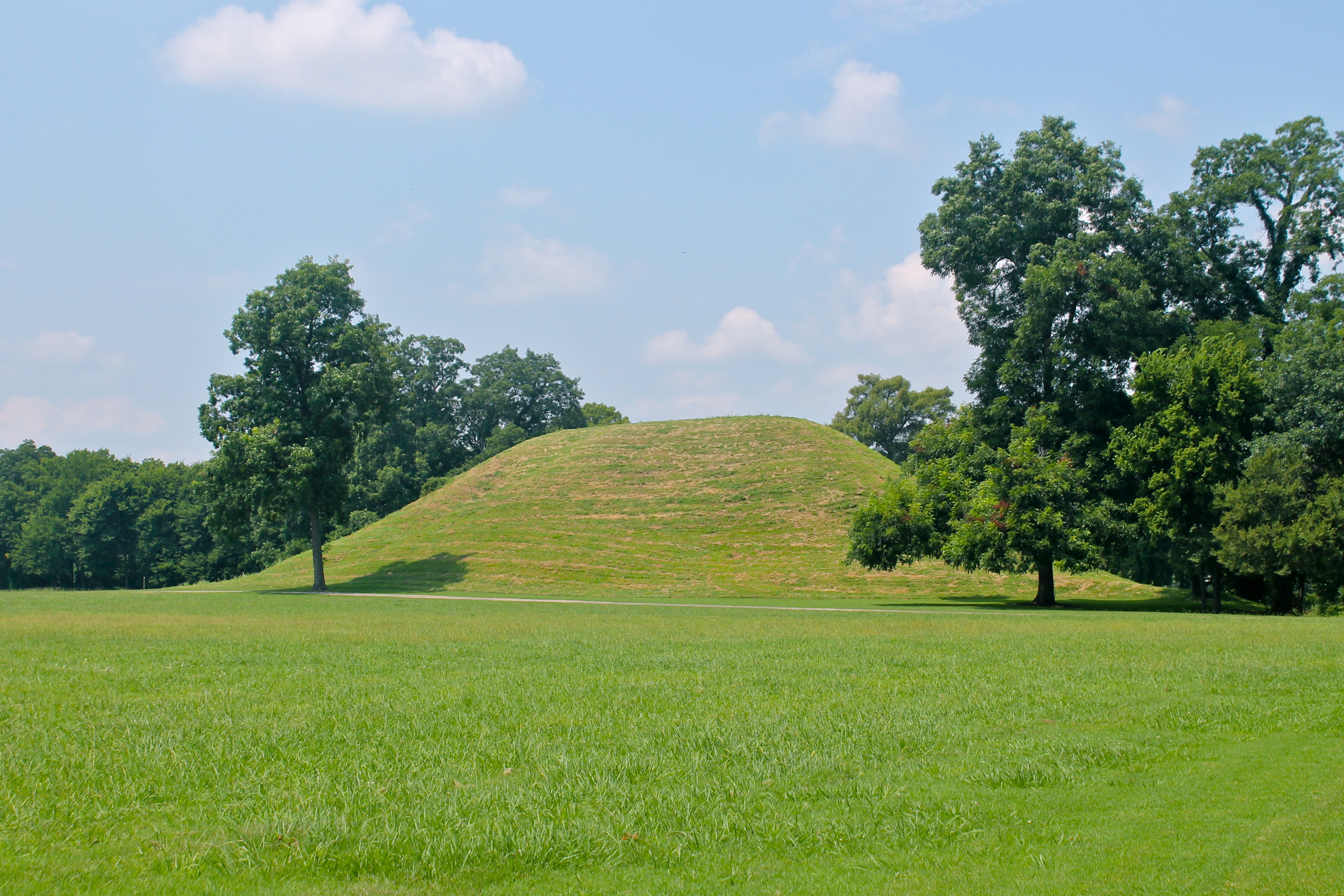
Mound A
Poisoin Ivy and swampy stuff
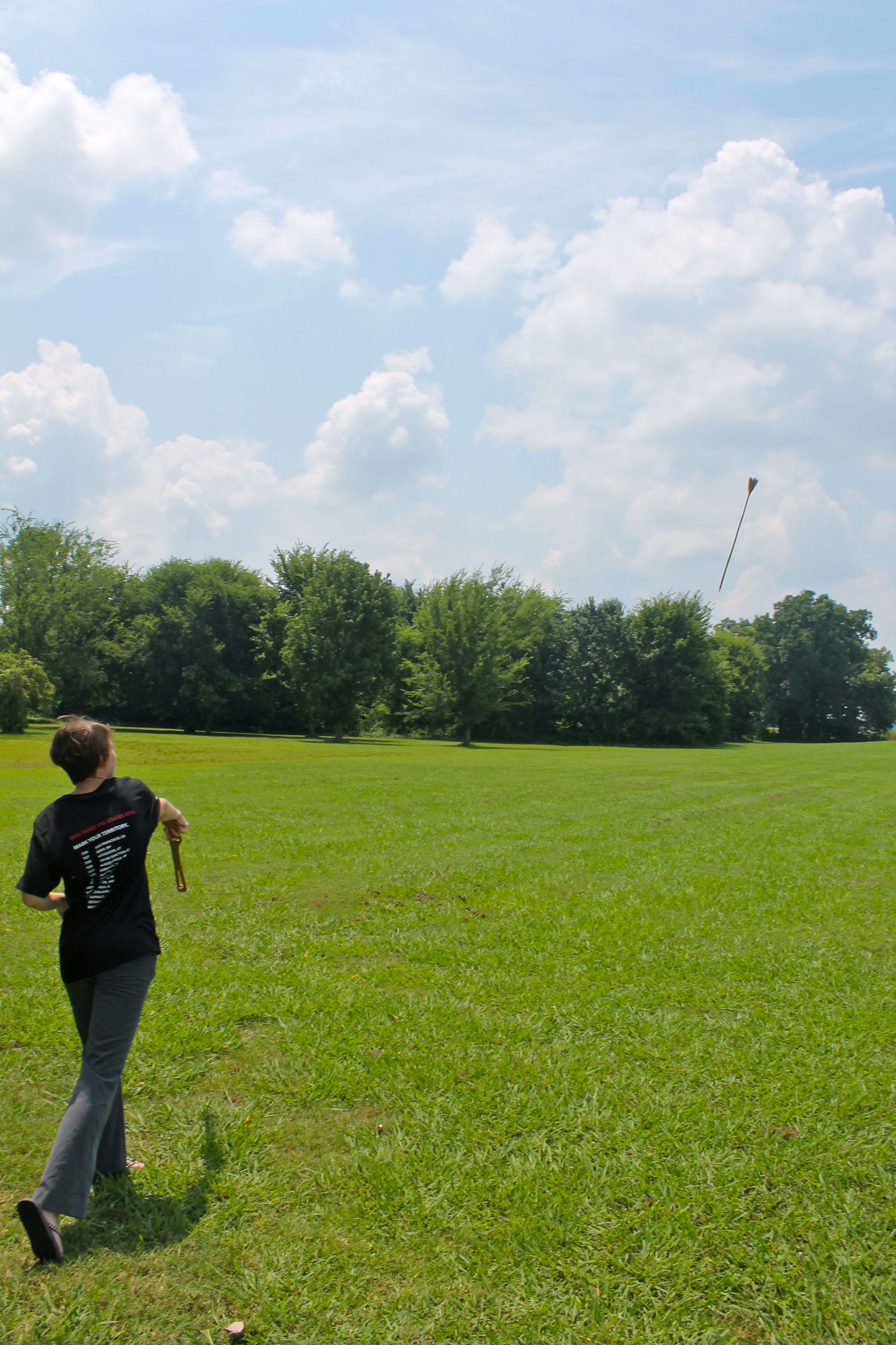
Follow-Through
Topographic Map of Wampoo Rd, England, AR, USA
Find elevation by address:

Places near Wampoo Rd, England, AR, USA:
John Branch Road
Lafayette Township
AR-, Scott, AR, USA
9605 Ar-161
9605 Ar-161
10510 River Trail Dr
11608 Patia Cove
Williams Township
Warren Rd, England, AR, USA
40 Johnson Rd, Scott, AR, USA
England
S Main St, England, AR, USA
AR-, Tucker, AR, USA
Gum Woods Township
AR-, Little Rock, AR, USA
AR-, Little Rock, AR, USA
Bolivar Township
Scott
SE Railroad St, Redfield, AR, USA
Shopwise Market
Recent Searches:
- Elevation of E 63rd St, New York, NY, USA
- Elevation of Elk City, OK, USA
- Elevation of Erika Dr, Windsor, CA, USA
- Elevation of Village Ln, Finleyville, PA, USA
- Elevation of 24 Oakland Rd #, Scotland, ON N0E 1R0, Canada
- Elevation of Deep Gap Farm Rd E, Mill Spring, NC, USA
- Elevation of Dog Leg Dr, Minden, NV, USA
- Elevation of Dog Leg Dr, Minden, NV, USA
- Elevation of Kambingan Sa Pansol Atbp., Purok 7 Pansol, Candaba, Pampanga, Philippines
- Elevation of Pinewood Dr, New Bern, NC, USA