Elevation of AR-, Scott, AR, USA
Location: United States > Arkansas > Lonoke County > Williams Township >
Longitude: -92.059908
Latitude: 34.6456066
Elevation: 72m / 236feet
Barometric Pressure: 100KPa
Elevation Map:
Satellite Map:
Related Photos:
iPhone driveby shooting

11-27-08_0709
IMG_0228 (2)

11-27-08_0707
windows at Cotham's
IMG_0229 (2)
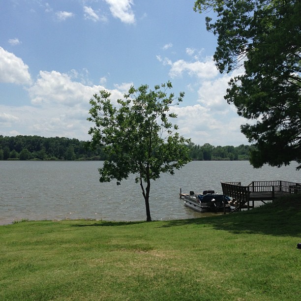
Peaceful and serene views at the lake with the McValleys #memorialday2013
IMG_0226 (2)
IMG_0460 (2)
IMG_0039 (2)
IMG_0461 (2)

IMG_0462 (2)
IMG_0463 (2)
around the side
Plum Bayou
Good day for a run #arkansas #run #jog #cardio #spring
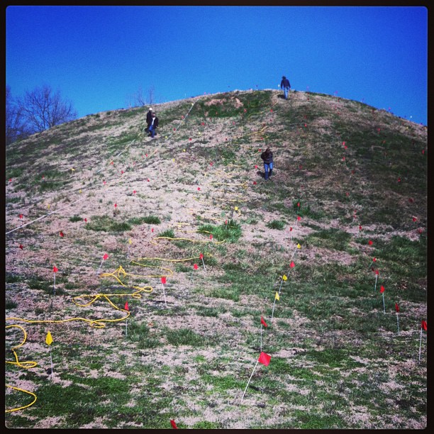
ERT remote sensing on Mound B at Toltec Mounds
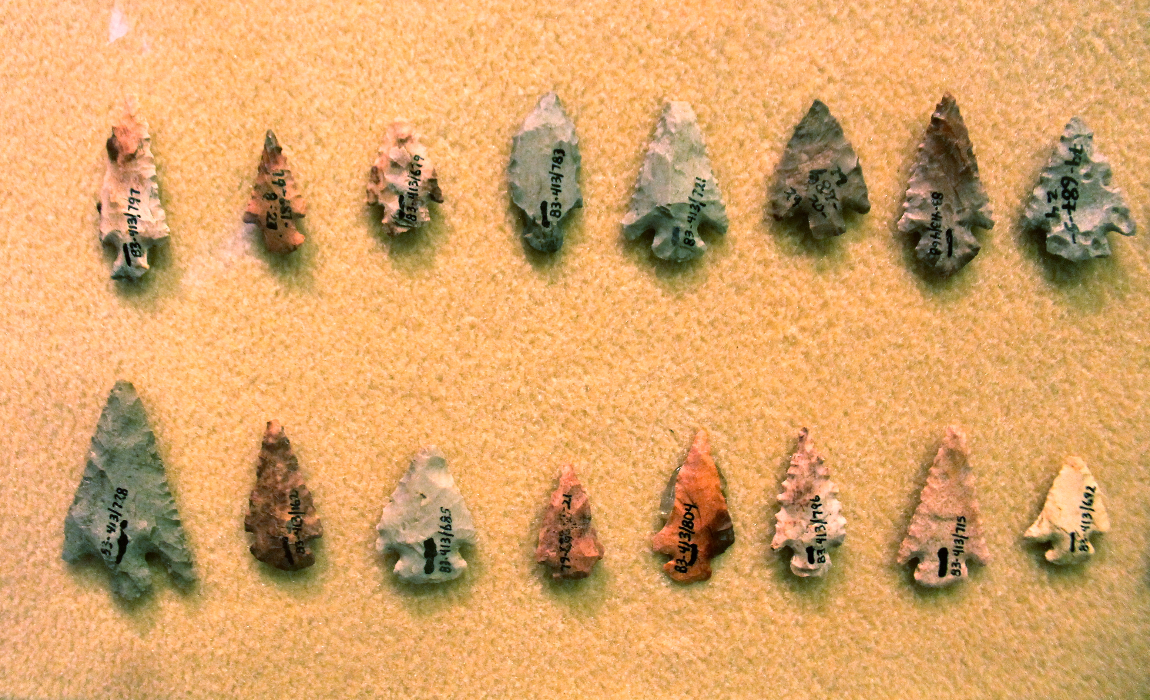
Chert Arrowheads
Arkansas River island near mile marker 101
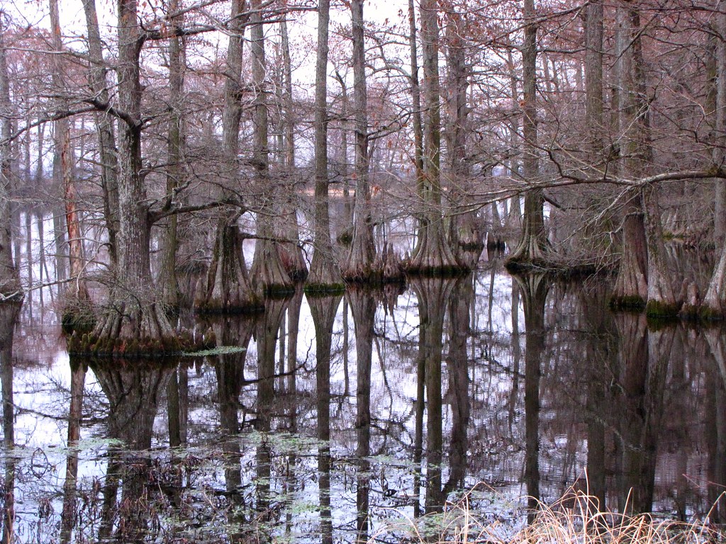
Ghosts of the Past
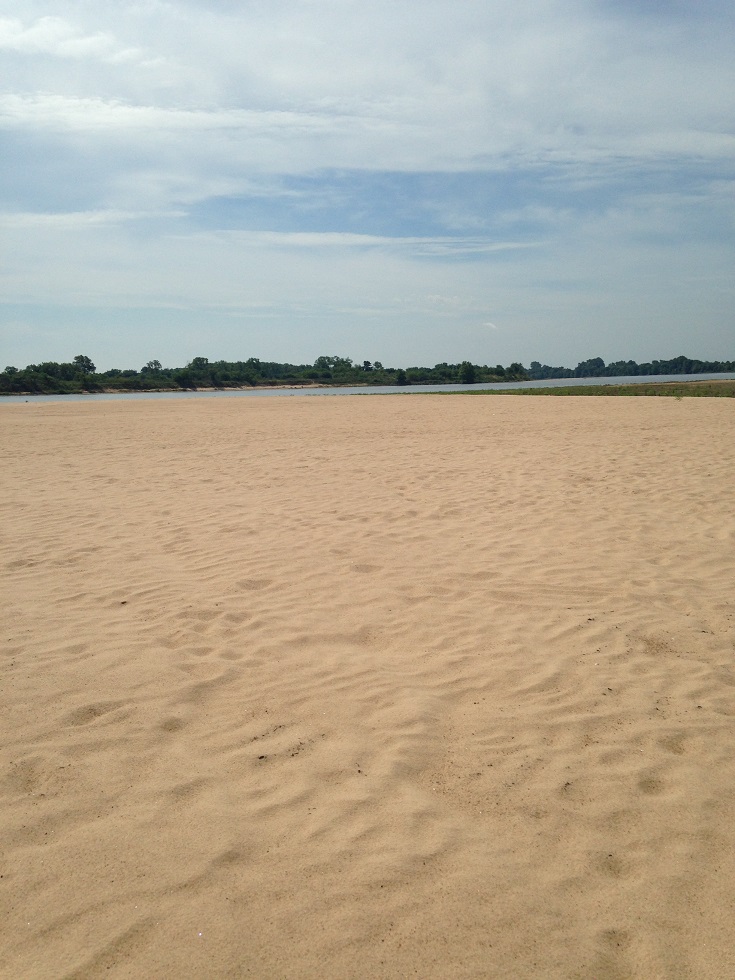
Arkansas River island near mile marker 101
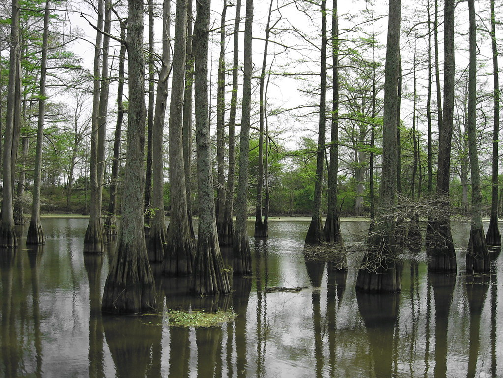
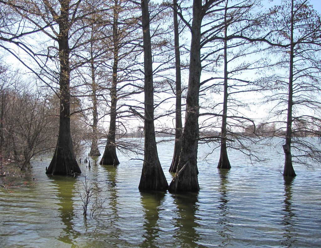
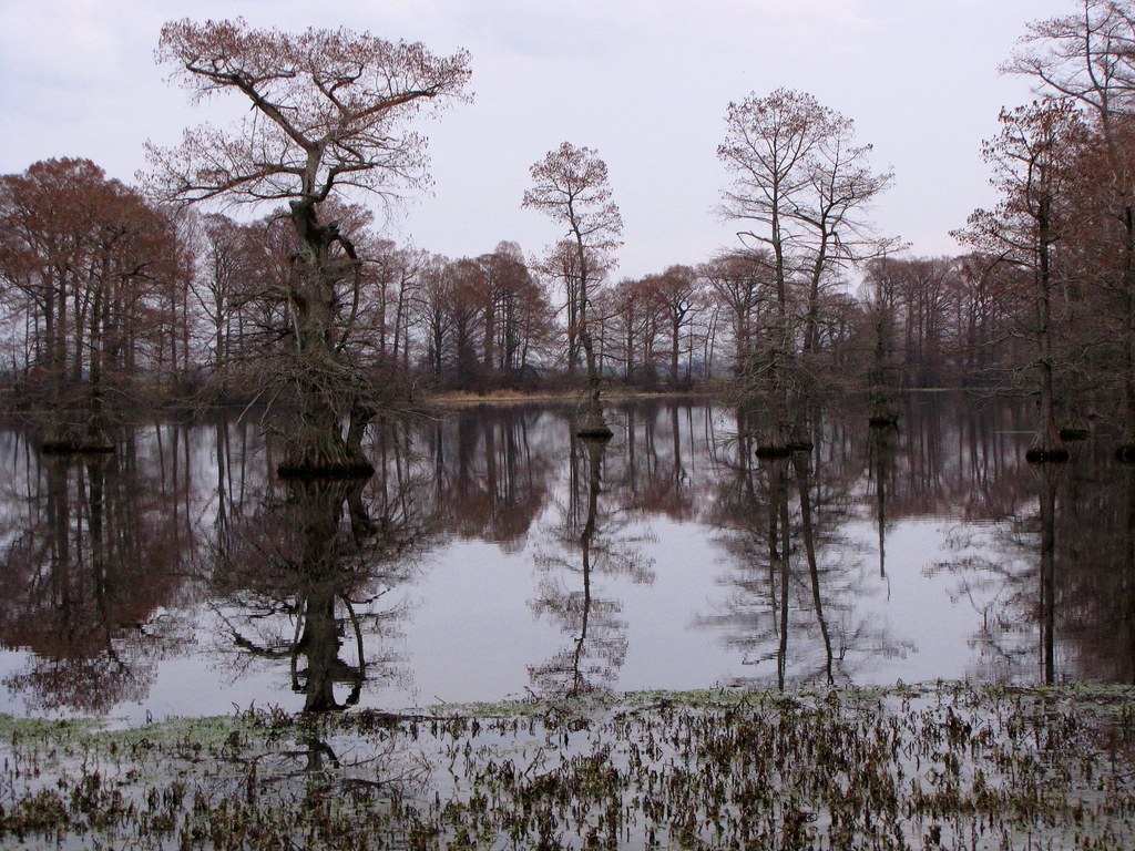
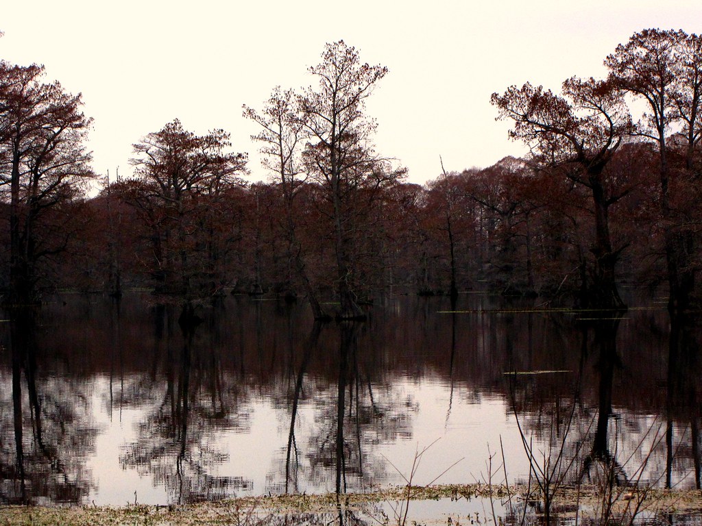
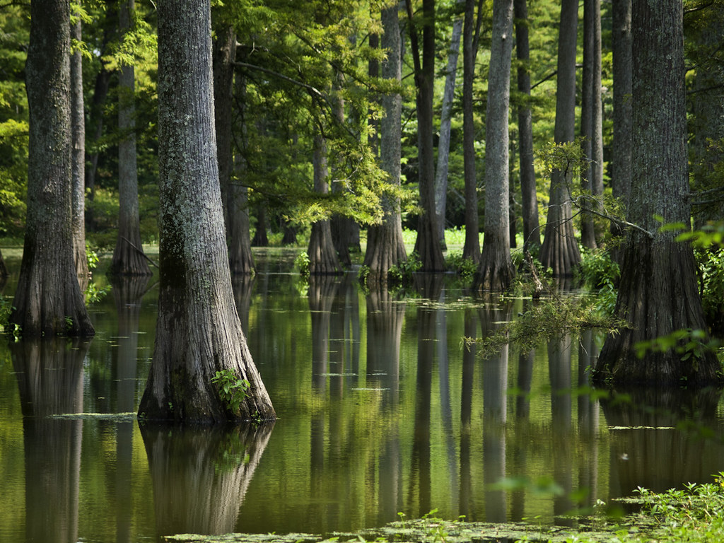
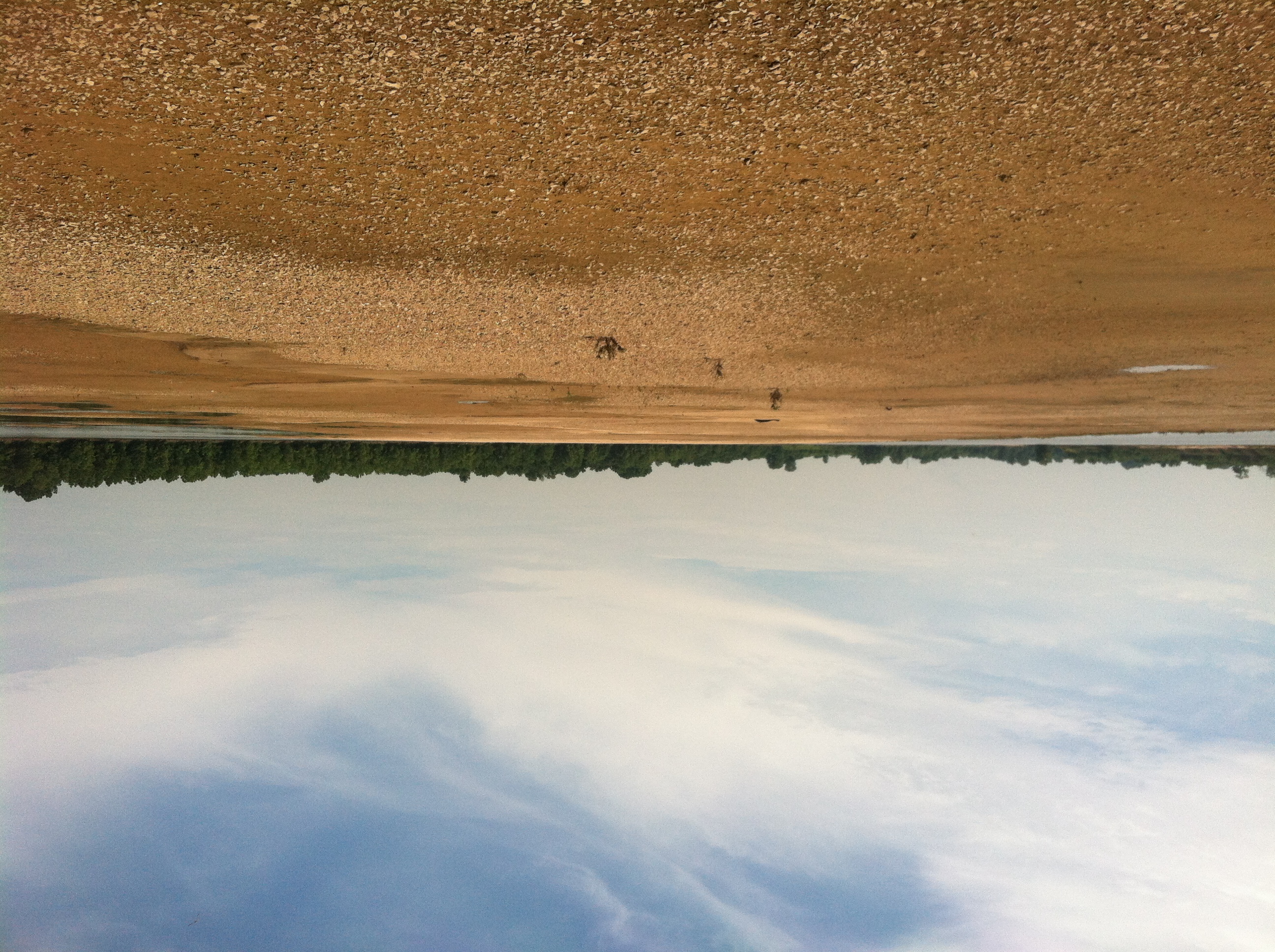
Arkansas Swamp
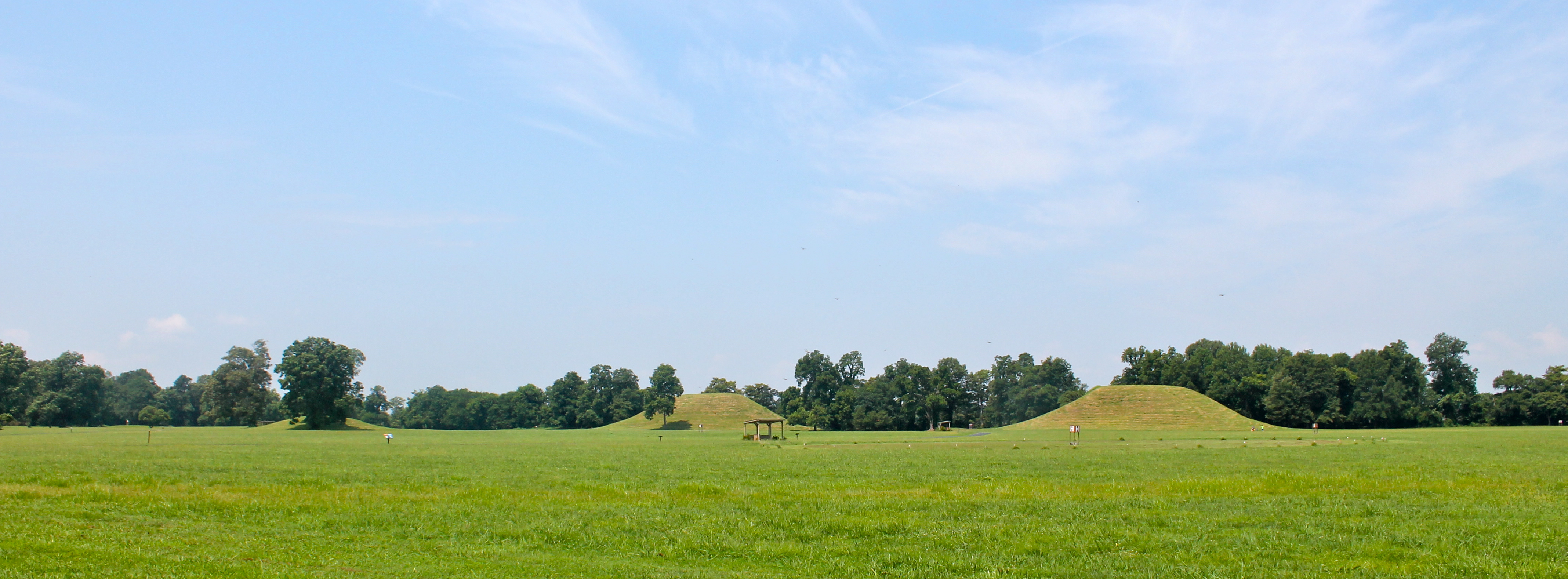
Indian Mounds
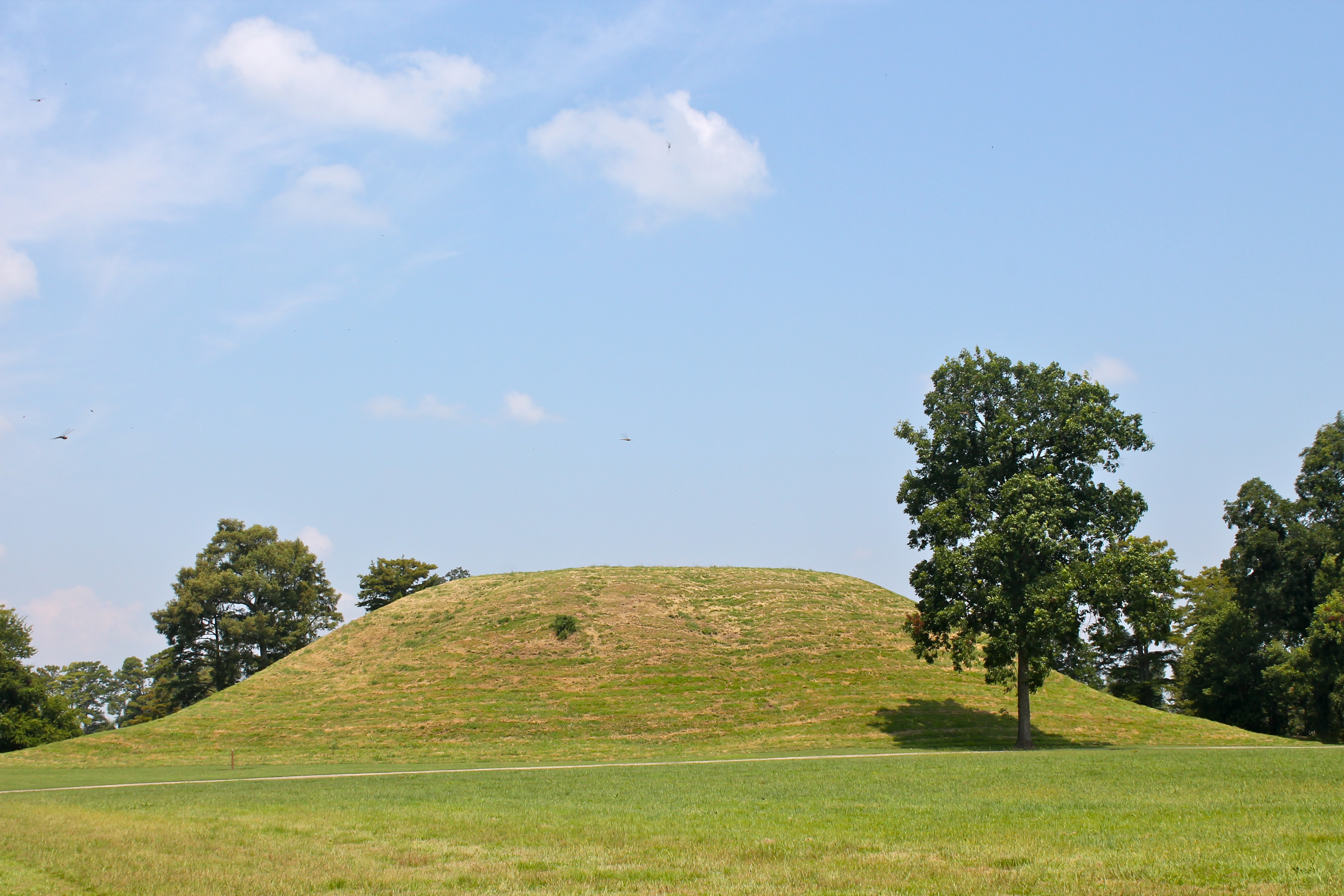
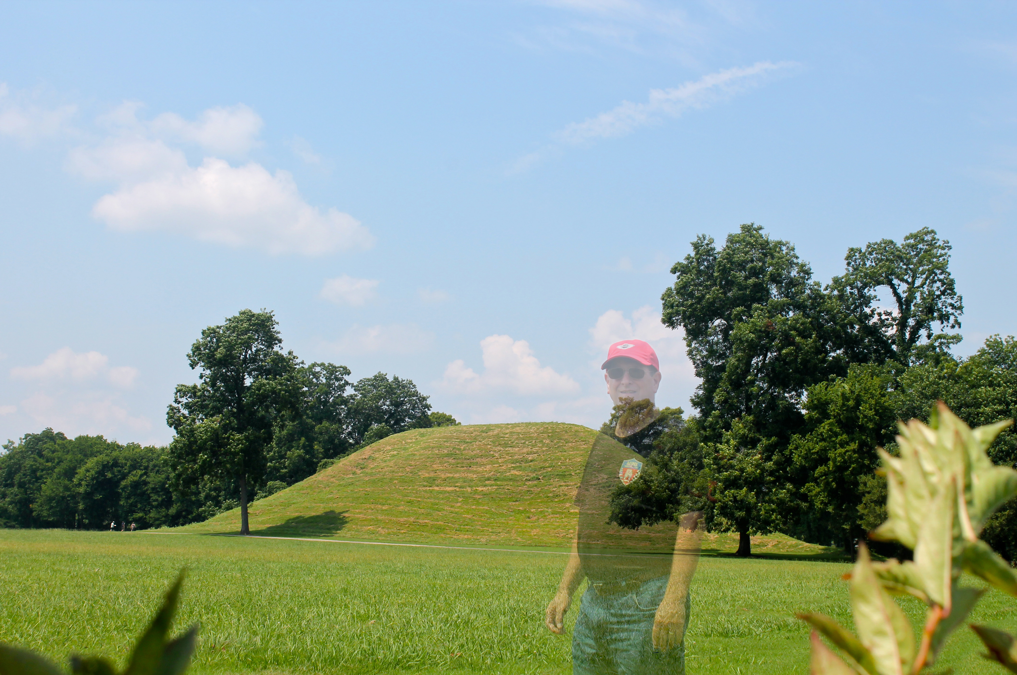
Mound A

Another wonderful engagement session . Congratulations Dayna & Chris see you in a few months #originphotos #engaged #proposal #engagementphotos #nycweddingphotos #njweddingphotos #longislandweddingphotos #longislandmodernwedding #top10weddingphotos #love

Mound C
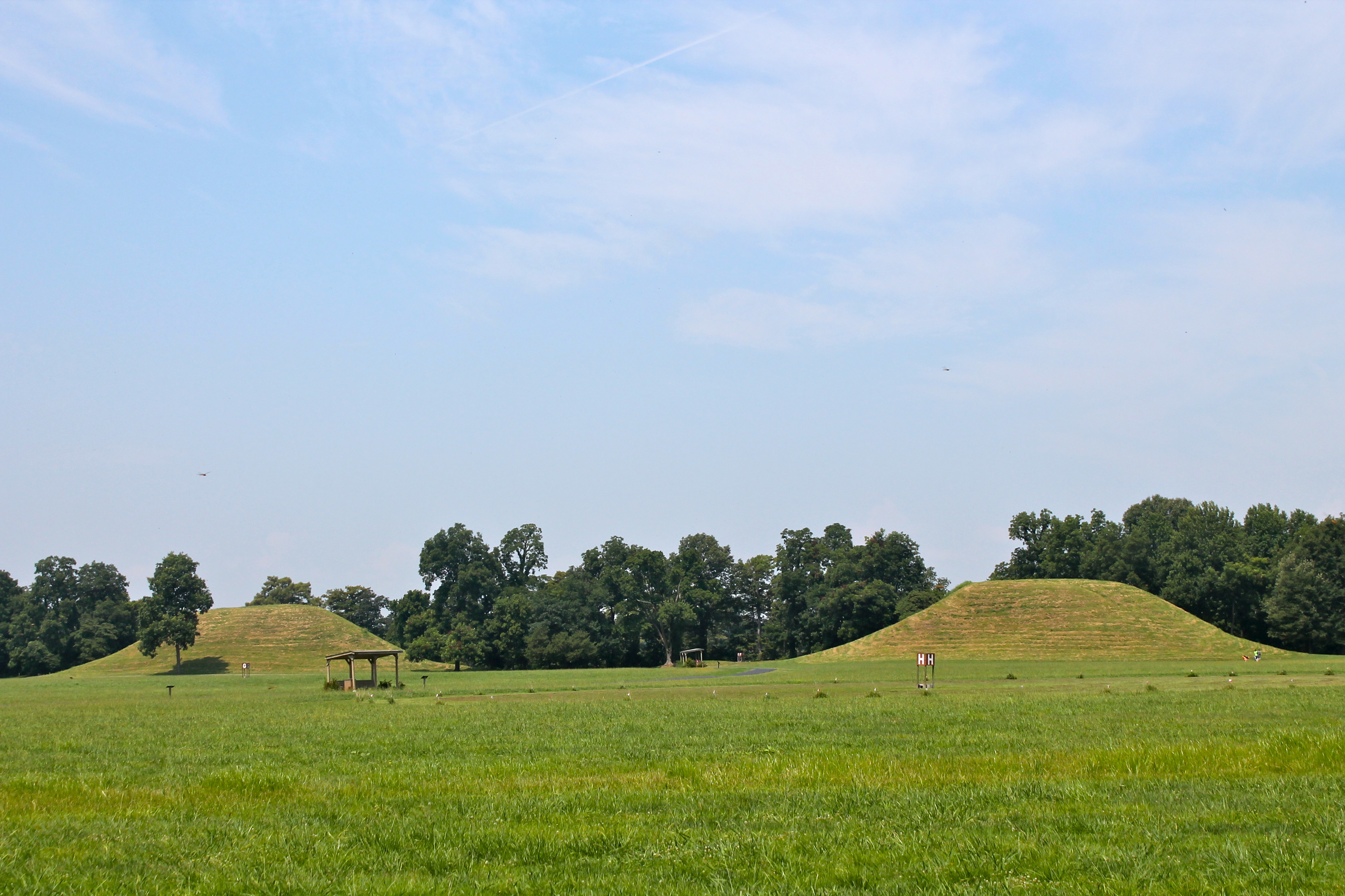
Toltec Mounds
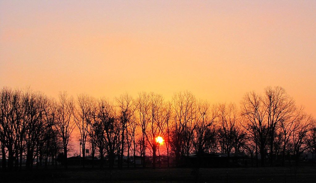
Follow-Through
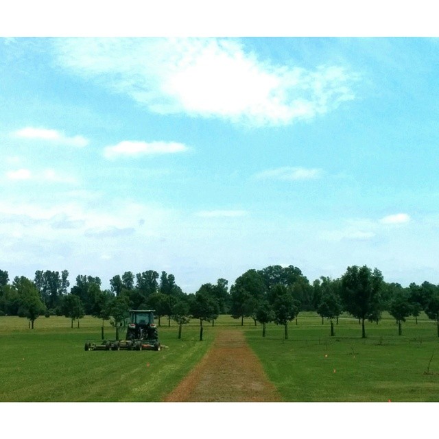
ar pasture
Topographic Map of AR-, Scott, AR, USA
Find elevation by address:

Places near AR-, Scott, AR, USA:
40 Johnson Rd, Scott, AR, USA
Williams Township
Warren Rd, England, AR, USA
9605 Ar-161
9605 Ar-161
Scott
Dortch Township
Bearskin Lake Loop, Scott, AR, USA
10 Bearskin Lake Rd, Scott, AR, USA
Pulaski Township
Richwoods Township
S Kerr Rd, Scott, AR, USA
Hwy 31, Lonoke, AR, USA
AR-15, Lonoke, AR, USA
Lonoke County
625 W Ash St
Lonoke
Lonoke, AR, USA
Lonoke Township
US-70, Carlisle, AR, USA
Recent Searches:
- Elevation of Leyte Industrial Development Estate, Isabel, Leyte, Philippines
- Elevation of W Granada St, Tampa, FL, USA
- Elevation of Pykes Down, Ivybridge PL21 0BY, UK
- Elevation of Jalan Senandin, Lutong, Miri, Sarawak, Malaysia
- Elevation of Bilohirs'k
- Elevation of 30 Oak Lawn Dr, Barkhamsted, CT, USA
- Elevation of Luther Road, Luther Rd, Auburn, CA, USA
- Elevation of Unnamed Road, Respublika Severnaya Osetiya — Alaniya, Russia
- Elevation of Verkhny Fiagdon, North Ossetia–Alania Republic, Russia
- Elevation of F. Viola Hiway, San Rafael, Bulacan, Philippines