Elevation of Gum Woods Township, AR, USA
Location: United States > Arkansas > Lonoke County >
Longitude: -91.968582
Latitude: 34.5148896
Elevation: 65m / 213feet
Barometric Pressure: 101KPa
Elevation Map:
Satellite Map:
Related Photos:
IMG_4215
P7303467
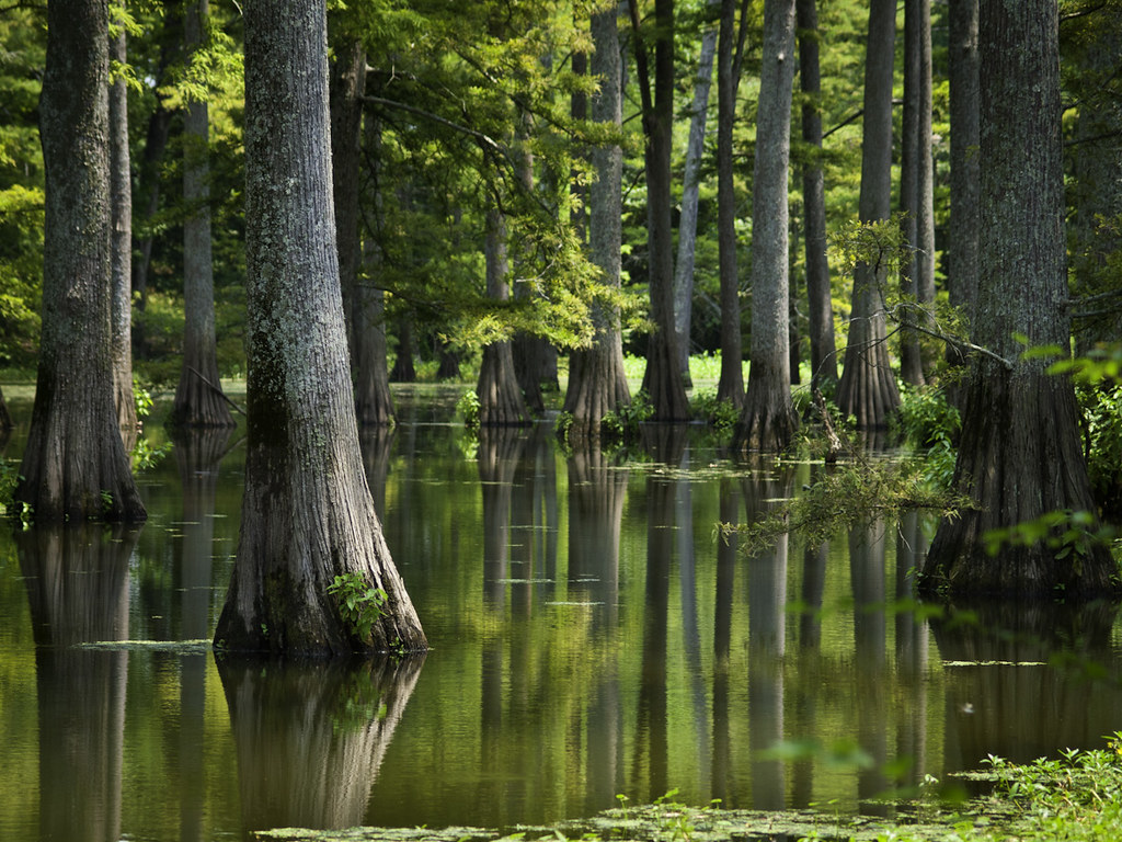
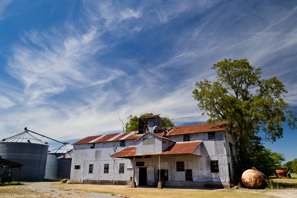
Plum Bayou
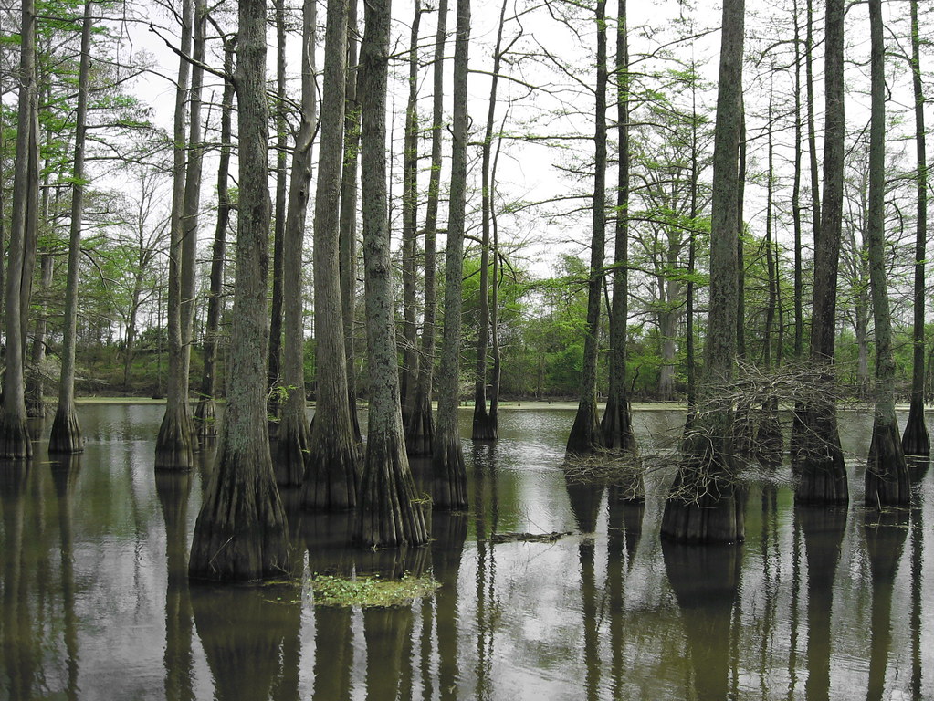
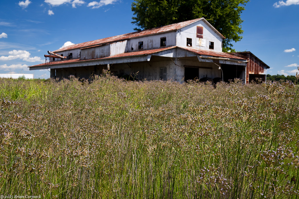
Arkansas Swamp
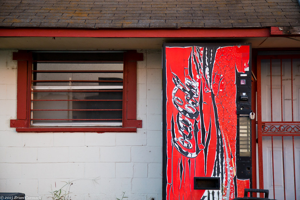
New Coke
Delta Blues
Don't Be Coy
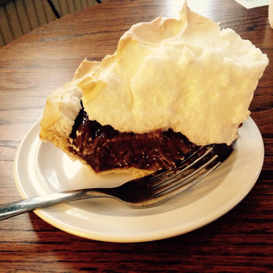
...and Charlotte's chocolate pie

Ruben time at Charlotte's in Keo, AR

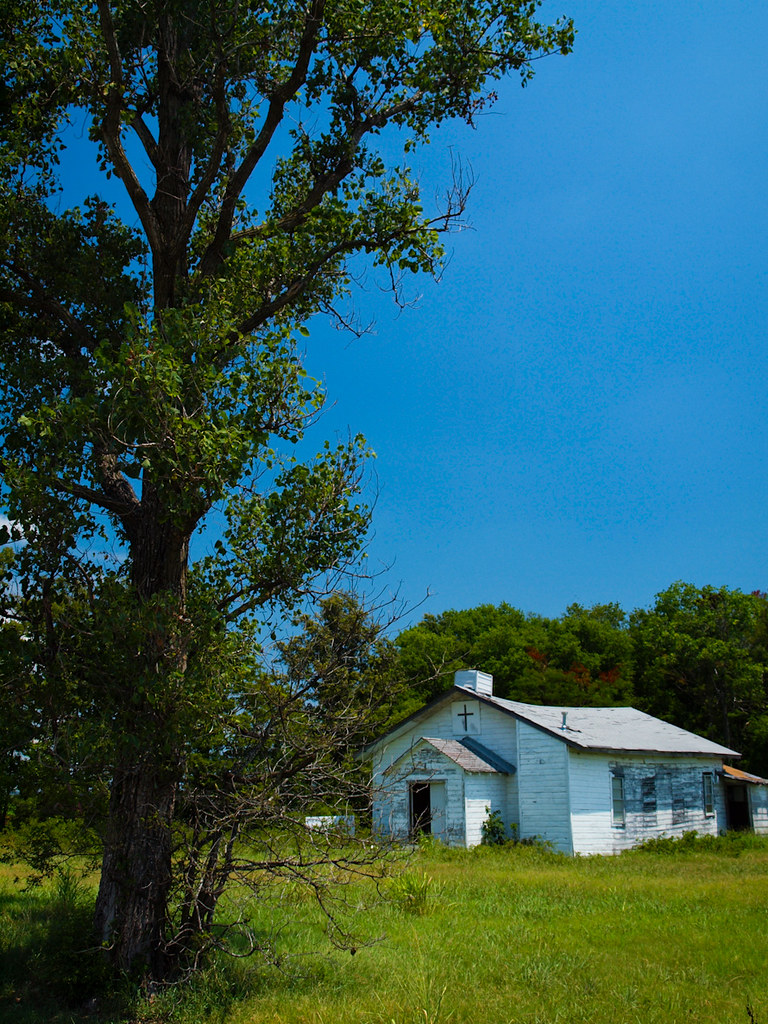
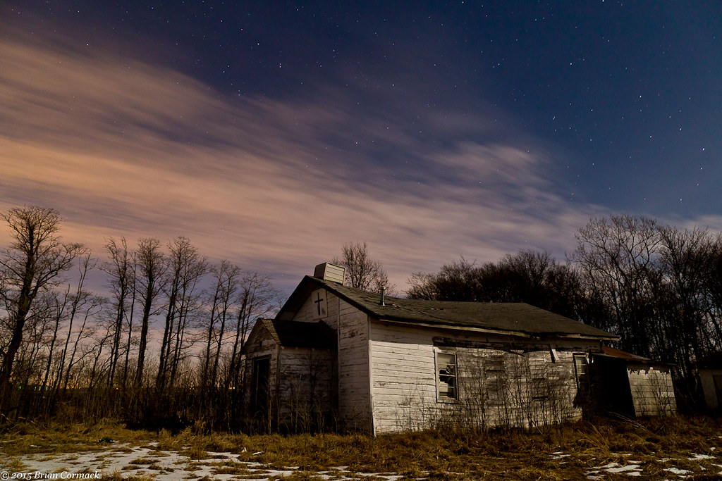
Going To Church
Partly Cloudy

Star Trek
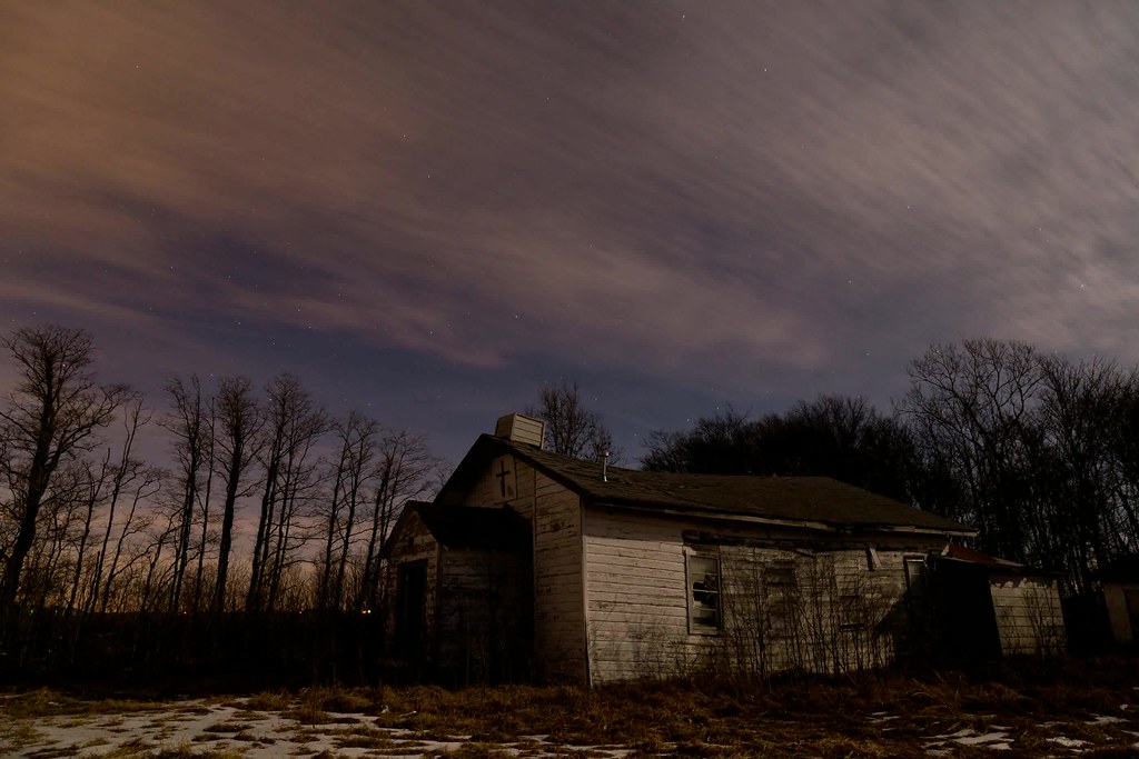
Star Search

The Stars At Night Are Big And Bright
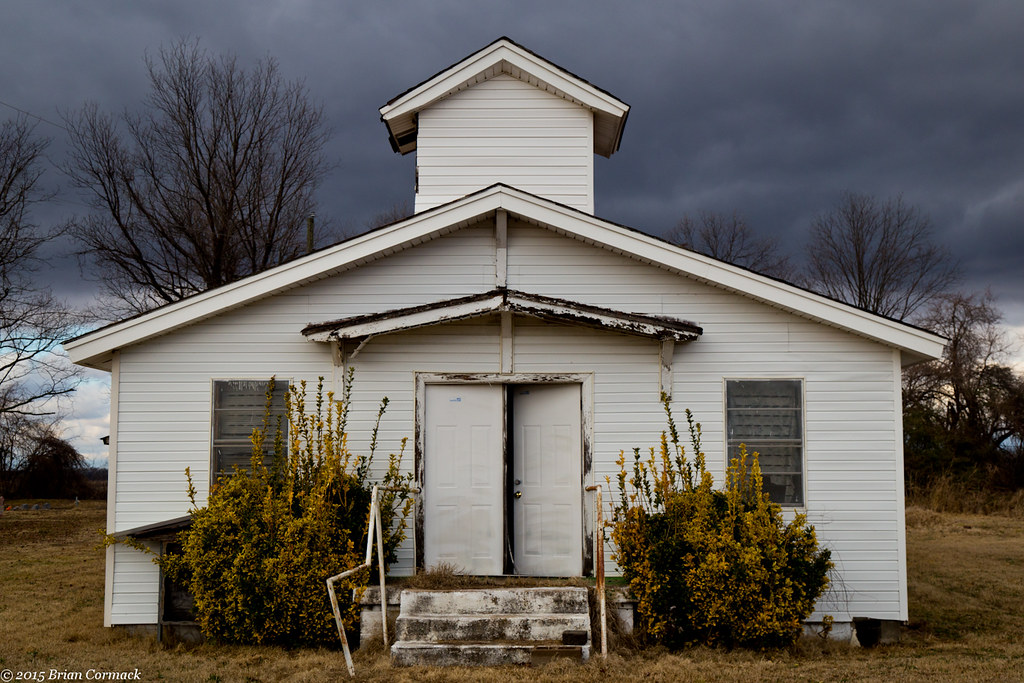
Mt. Sinai

Union Pacific 25383
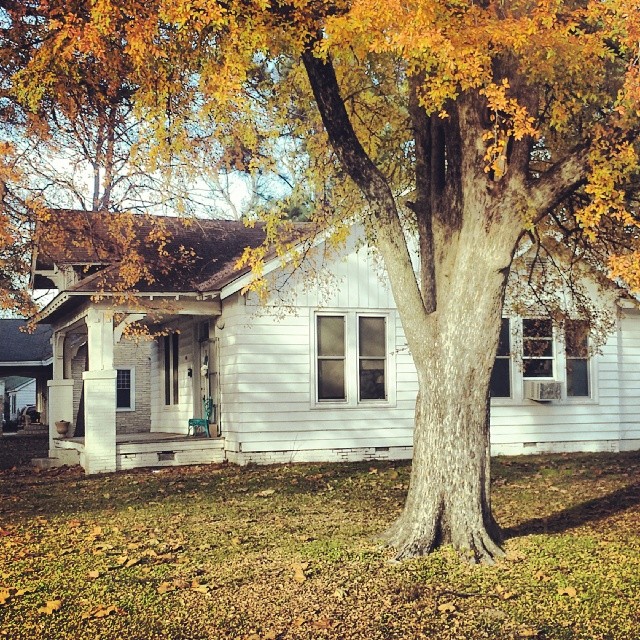
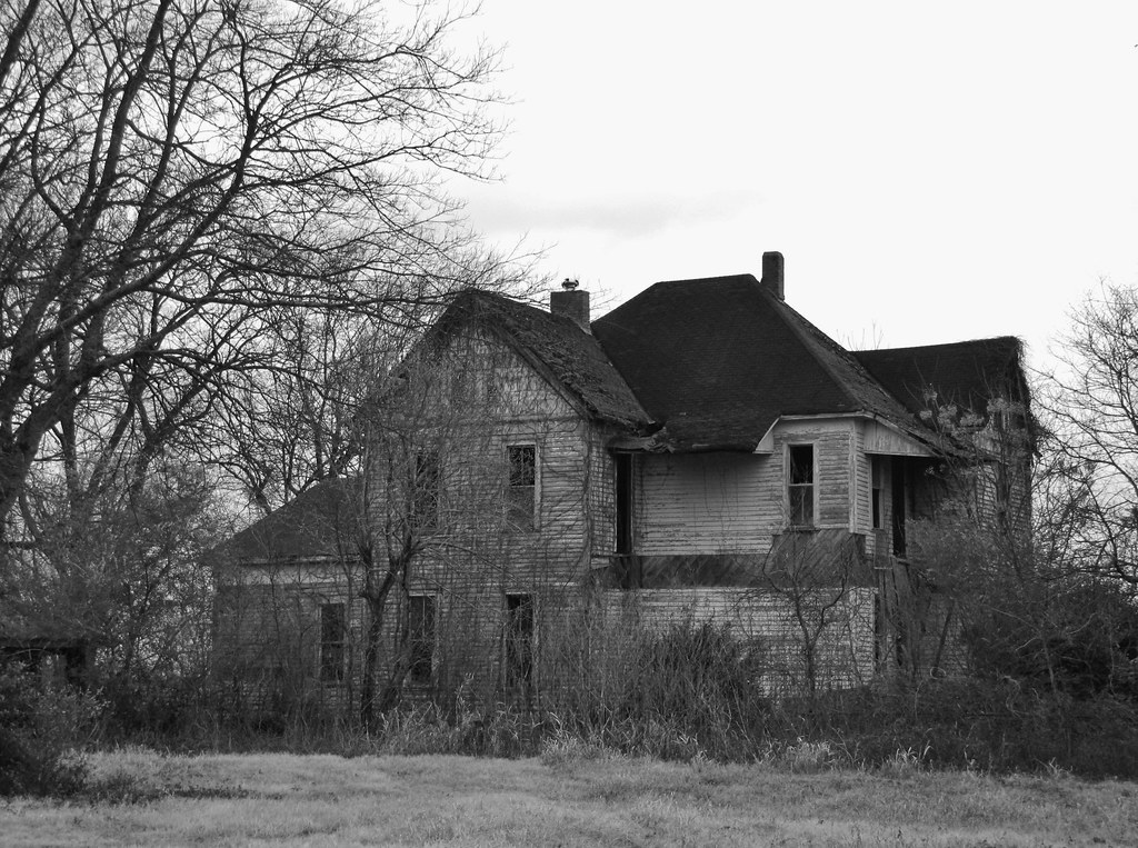
Grandma's house
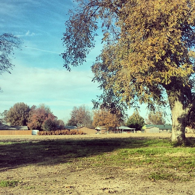
They tore down the house my mom grew up in but it used to be under this tree.

Lazy girls
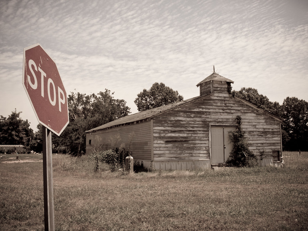
Stop!
Gin & Juice

Zerbe Road
Cracked up
Topographic Map of Gum Woods Township, AR, USA
Find elevation by address:

Places in Gum Woods Township, AR, USA:
Places near Gum Woods Township, AR, USA:
England
S Main St, England, AR, USA
AR-15, Tucker, AR, USA
Cotton St, Sherrill, AR, USA
Lafayette Township
Hwy 31 S, Lonoke, AR, USA
Hwy 31, England, AR, USA
Indian Bayou Township
Dudley Lake Township
Bolivar Township
Wampoo Rd, England, AR, USA
AR-, Tucker, AR, USA
Warren Rd, England, AR, USA
Lake St, Sherrill, AR, USA
Sherrill
Walker Rd, Altheimer, AR, USA
AR-, Scott, AR, USA
Hwy 31, Lonoke, AR, USA
40 Johnson Rd, Scott, AR, USA
Williams Township
Recent Searches:
- Elevation of Corso Fratelli Cairoli, 35, Macerata MC, Italy
- Elevation of Tallevast Rd, Sarasota, FL, USA
- Elevation of 4th St E, Sonoma, CA, USA
- Elevation of Black Hollow Rd, Pennsdale, PA, USA
- Elevation of Oakland Ave, Williamsport, PA, USA
- Elevation of Pedrógão Grande, Portugal
- Elevation of Klee Dr, Martinsburg, WV, USA
- Elevation of Via Roma, Pieranica CR, Italy
- Elevation of Tavkvetili Mountain, Georgia
- Elevation of Hartfords Bluff Cir, Mt Pleasant, SC, USA