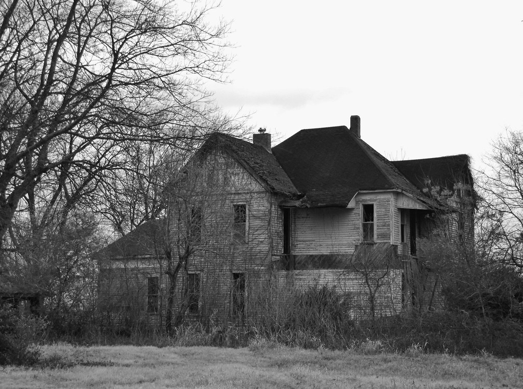
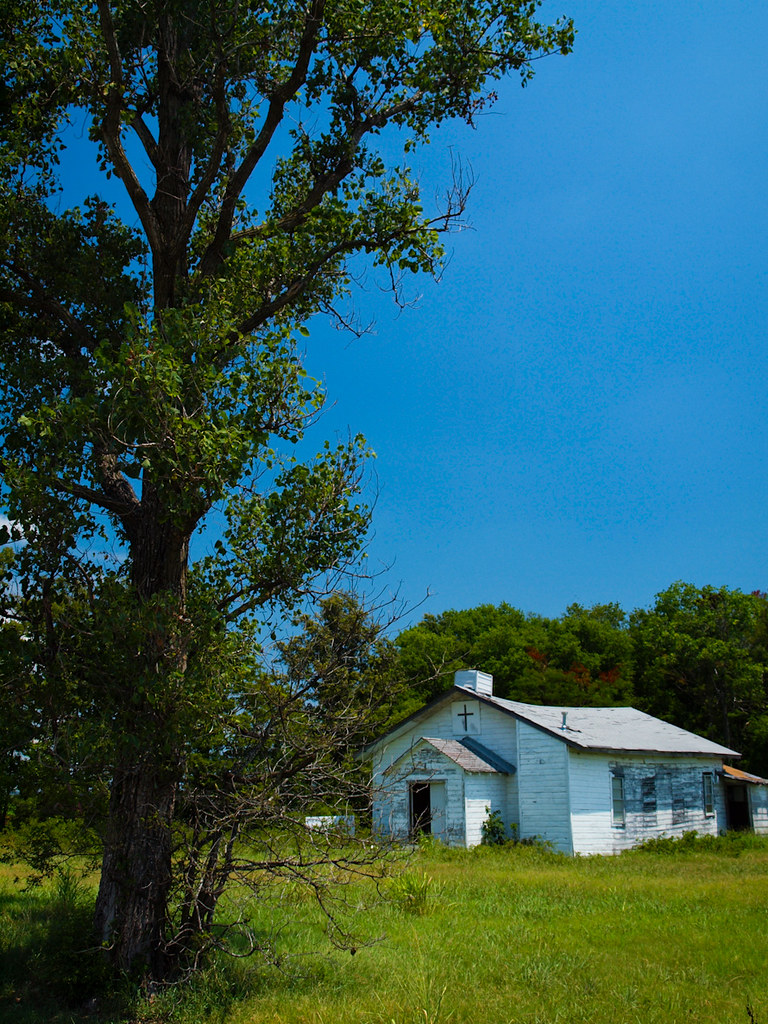
Elevation of AR-15, Tucker, AR, USA
Location: United States > Arkansas > Jefferson County >
Longitude: -91.954567
Latitude: 34.4594046
Elevation: 70m / 230feet
Barometric Pressure: 100KPa
Elevation Map:
Satellite Map:
Related Photos:
IMG_4215

IMG_0272

IMG_0247

IMG_0269

IMG_0252
P7303467

IMG_0271

IMG_0268
IMG_4383
IMG_4377

IMG_0242
IMG_0244
IMG_4378
IMG_4381
IMG_4382

IMG_0267

IMG_0245
Plum Bayou
Topographic Map of AR-15, Tucker, AR, USA
Find elevation by address:

Places near AR-15, Tucker, AR, USA:
Cotton St, Sherrill, AR, USA
Gum Woods Township
Dudley Lake Township
Lake St, Sherrill, AR, USA
Sherrill
S Main St, England, AR, USA
England
Bolivar Township
Hwy 31, England, AR, USA
Walker Rd, Altheimer, AR, USA
Hwy 31 S, Lonoke, AR, USA
AR-, Tucker, AR, USA
Indian Bayou Township
Plum Bayou Township
Lafayette Township
Wampoo Rd, England, AR, USA
Battle Chapel Loop, Altheimer, AR, USA
Hendricks Road
Altheimer
Warren Rd, England, AR, USA
Recent Searches:
- Elevation of 6 Rue Jules Ferry, Beausoleil, France
- Elevation of Sattva Horizon, 4JC6+G9P, Vinayak Nagar, Kattigenahalli, Bengaluru, Karnataka, India
- Elevation of Great Brook Sports, Gold Star Hwy, Groton, CT, USA
- Elevation of 10 Mountain Laurels Dr, Nashua, NH, USA
- Elevation of 16 Gilboa Ln, Nashua, NH, USA
- Elevation of Laurel Rd, Townsend, TN, USA
- Elevation of 3 Nestling Wood Dr, Long Valley, NJ, USA
- Elevation of Ilungu, Tanzania
- Elevation of Yellow Springs Road, Yellow Springs Rd, Chester Springs, PA, USA
- Elevation of Rēzekne Municipality, Latvia