Elevation of S Main St, England, AR, USA
Location: United States > Arkansas > Lonoke County > Gum Woods Township > England >
Longitude: -91.968948
Latitude: 34.5442699
Elevation: 72m / 236feet
Barometric Pressure: 100KPa
Elevation Map:
Satellite Map:
Related Photos:

IMG_0226 (2)

IMG_0228 (2)
IMG_0229 (2)
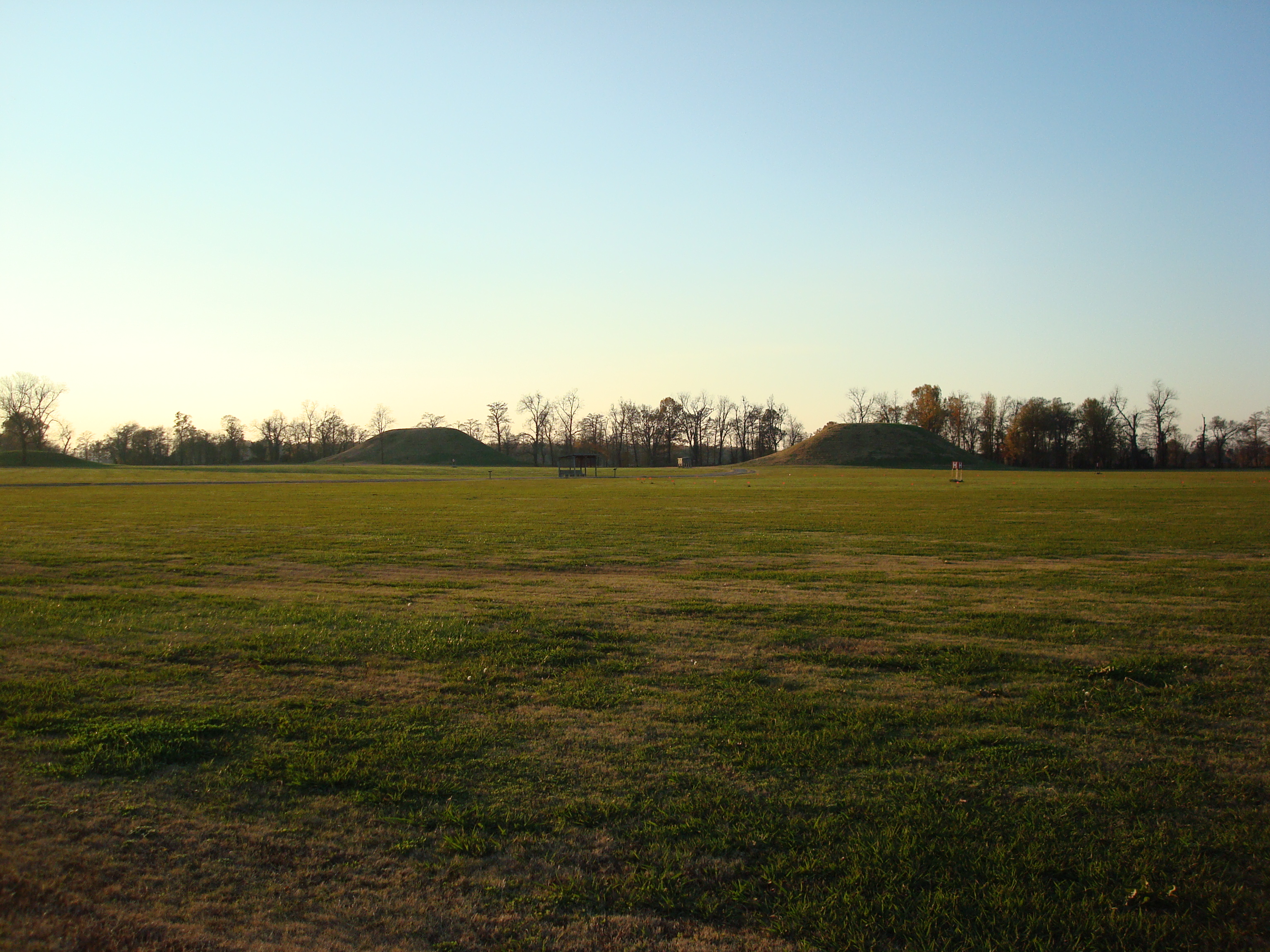
Toltec Mounds Archeological State Park - Arkansas

Plum Bayou

Chert Arrowheads

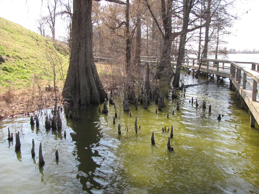
Arkansas Swamp

Ghosts of the Past
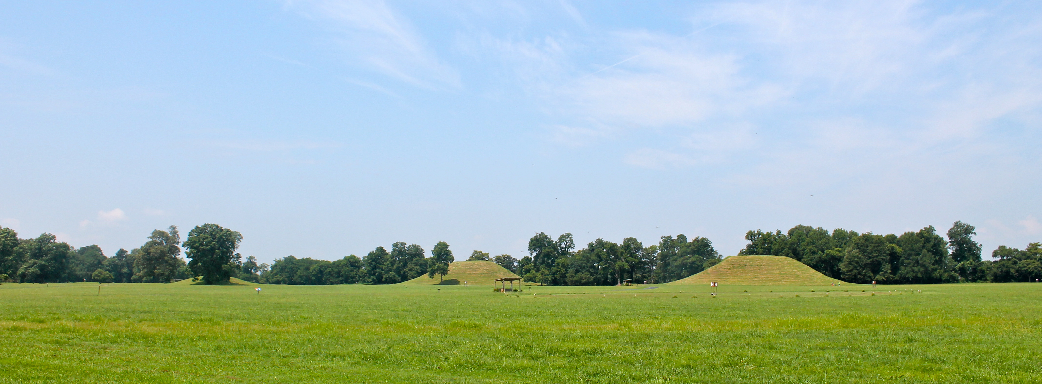
Indian Mounds
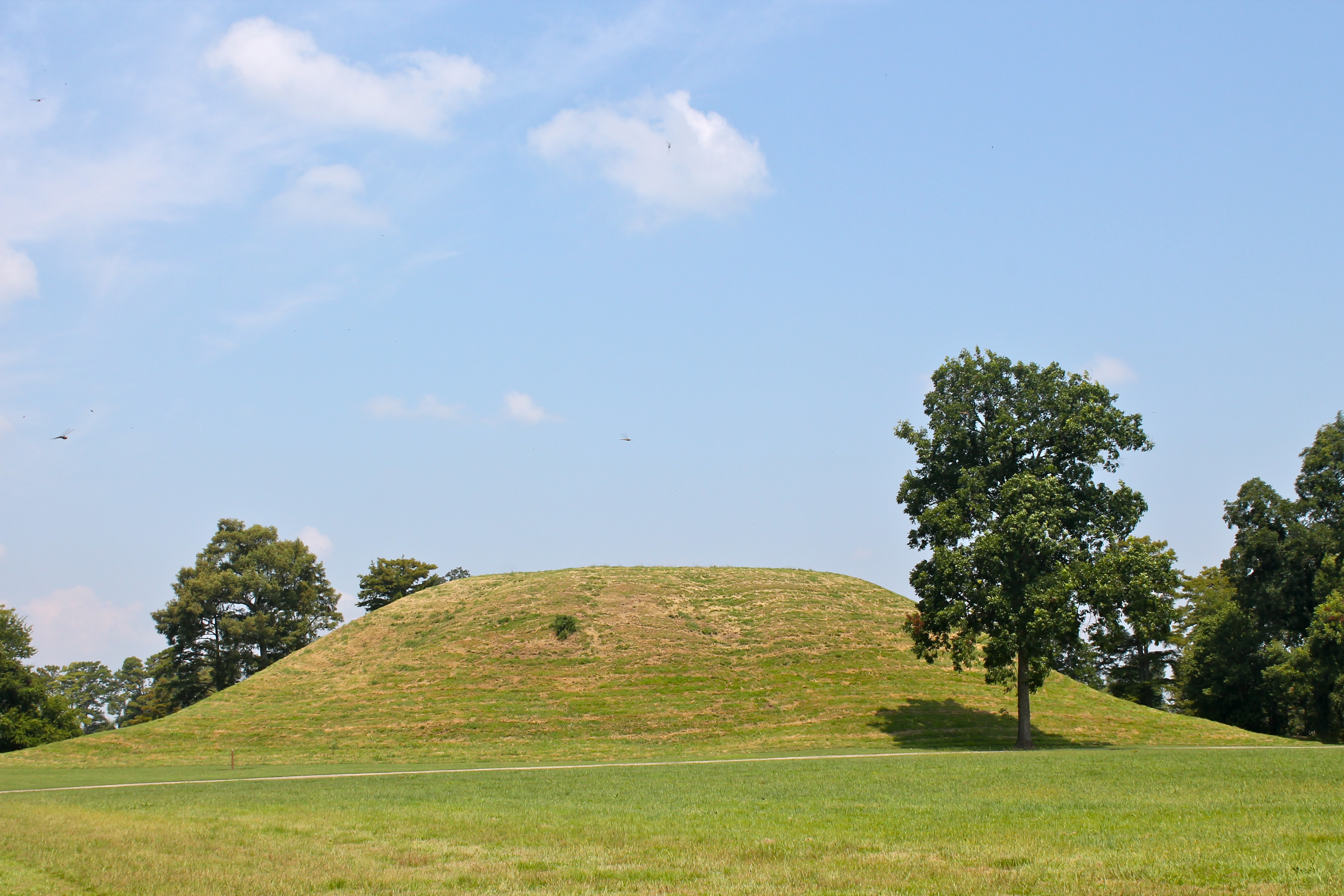
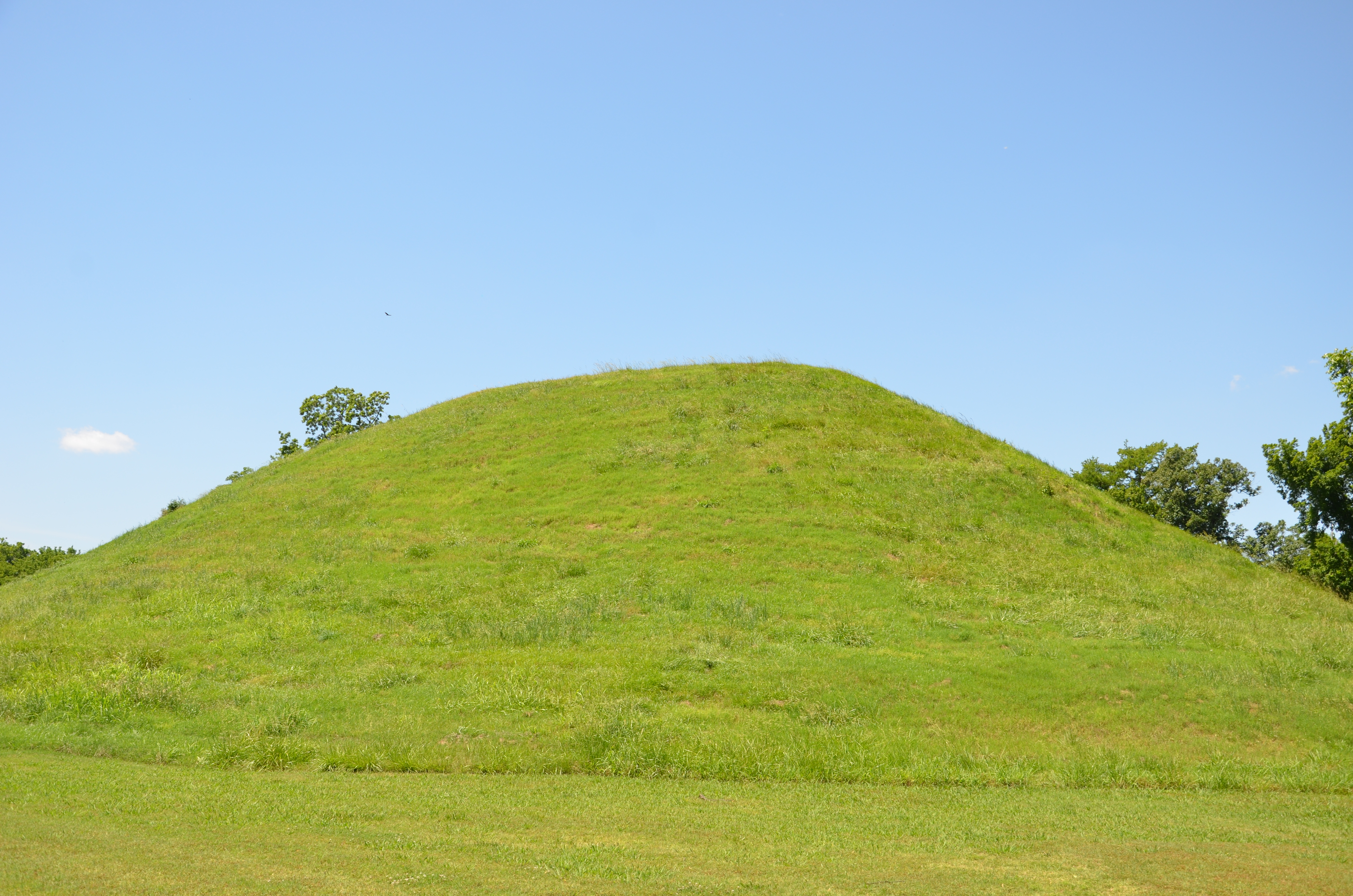
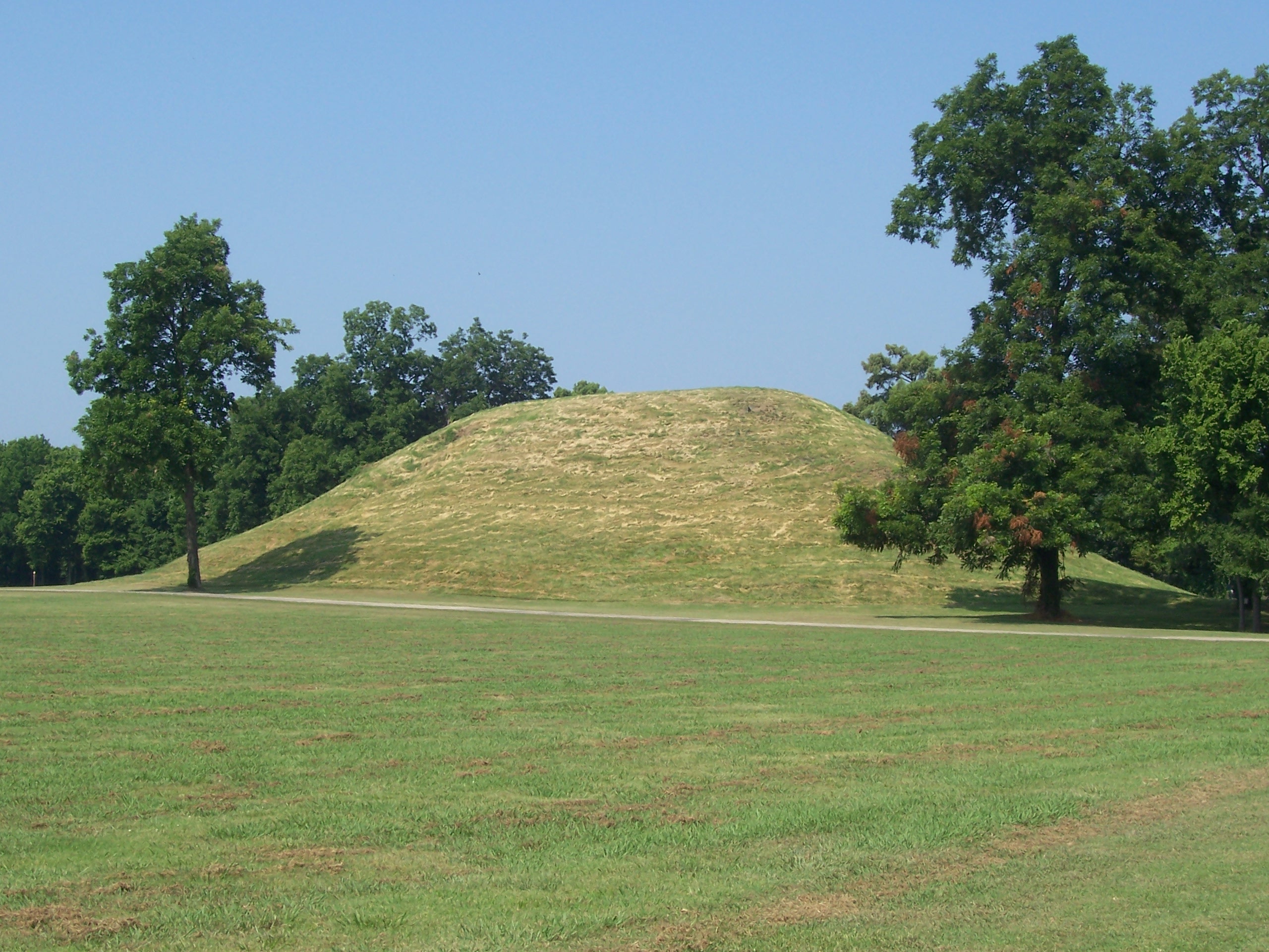
Mound A
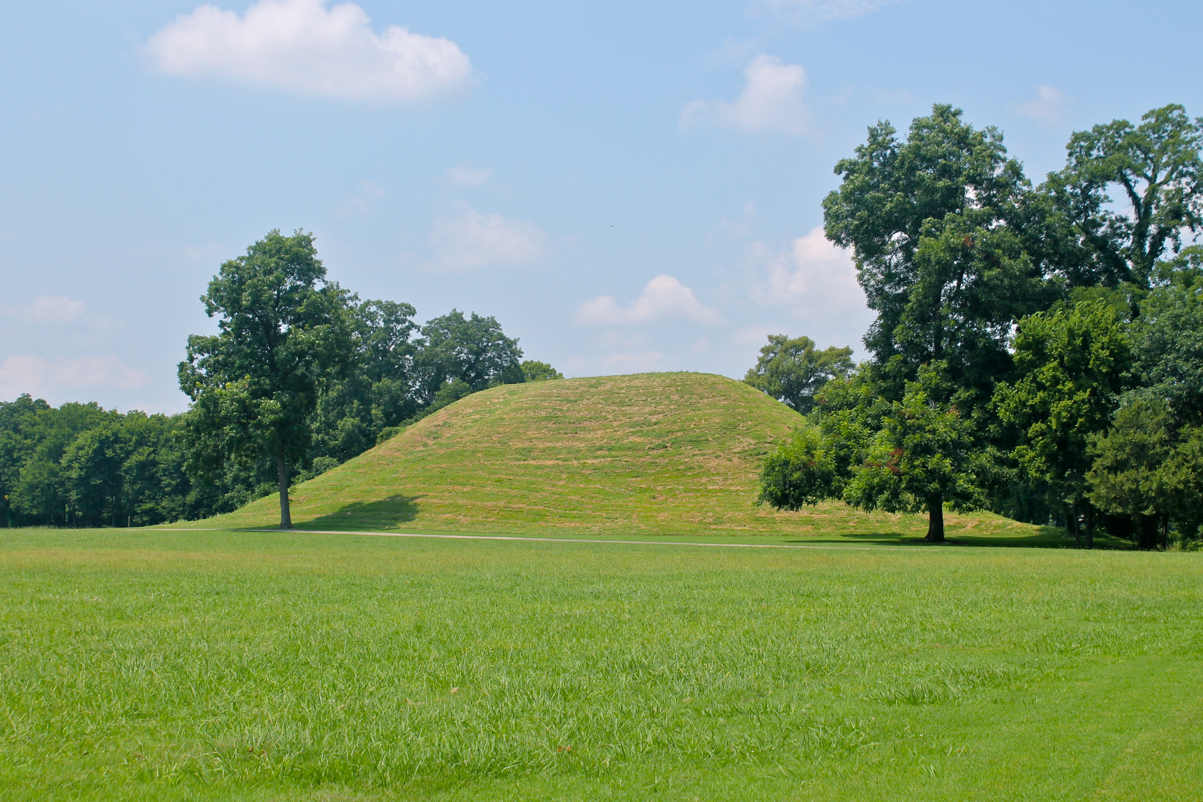
Mound A
Follow-Through

ERT remote sensing at Mound B at Toltec Mounds...

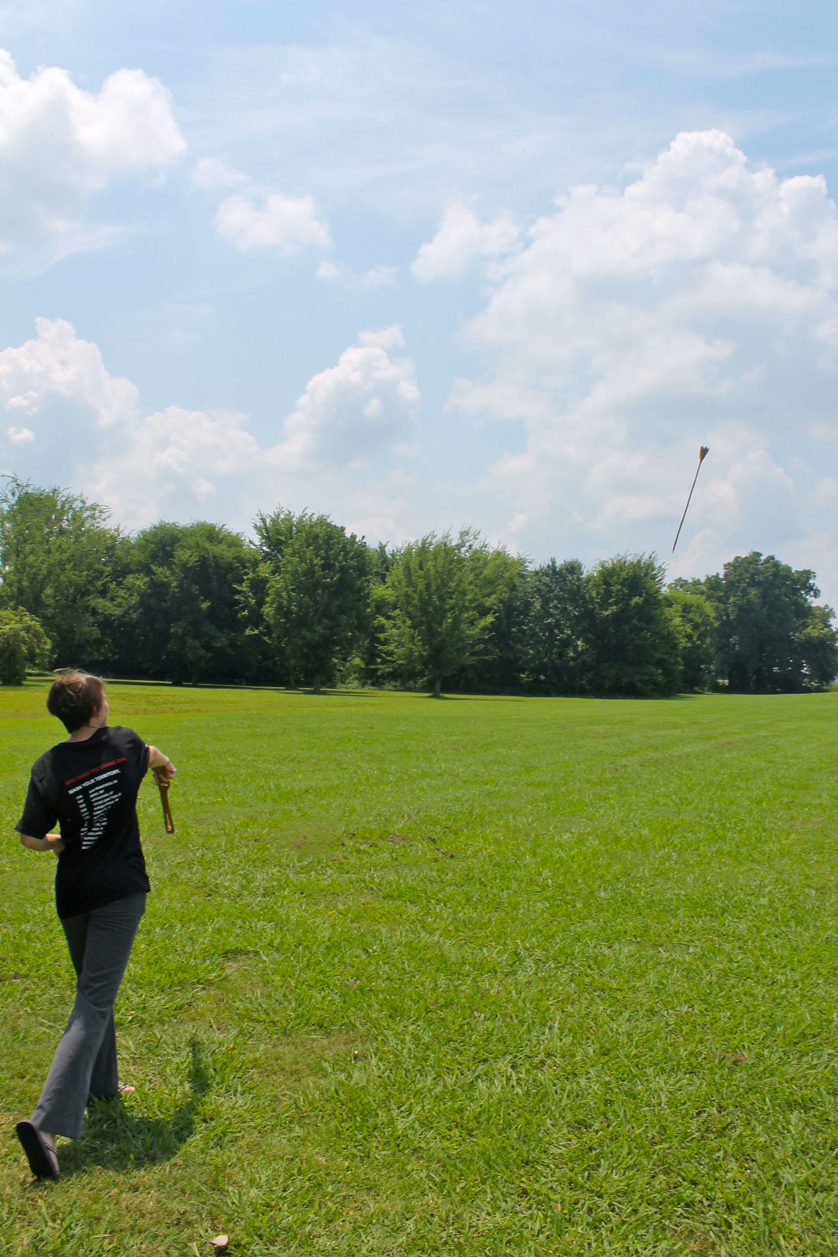
Anne With Atlatl
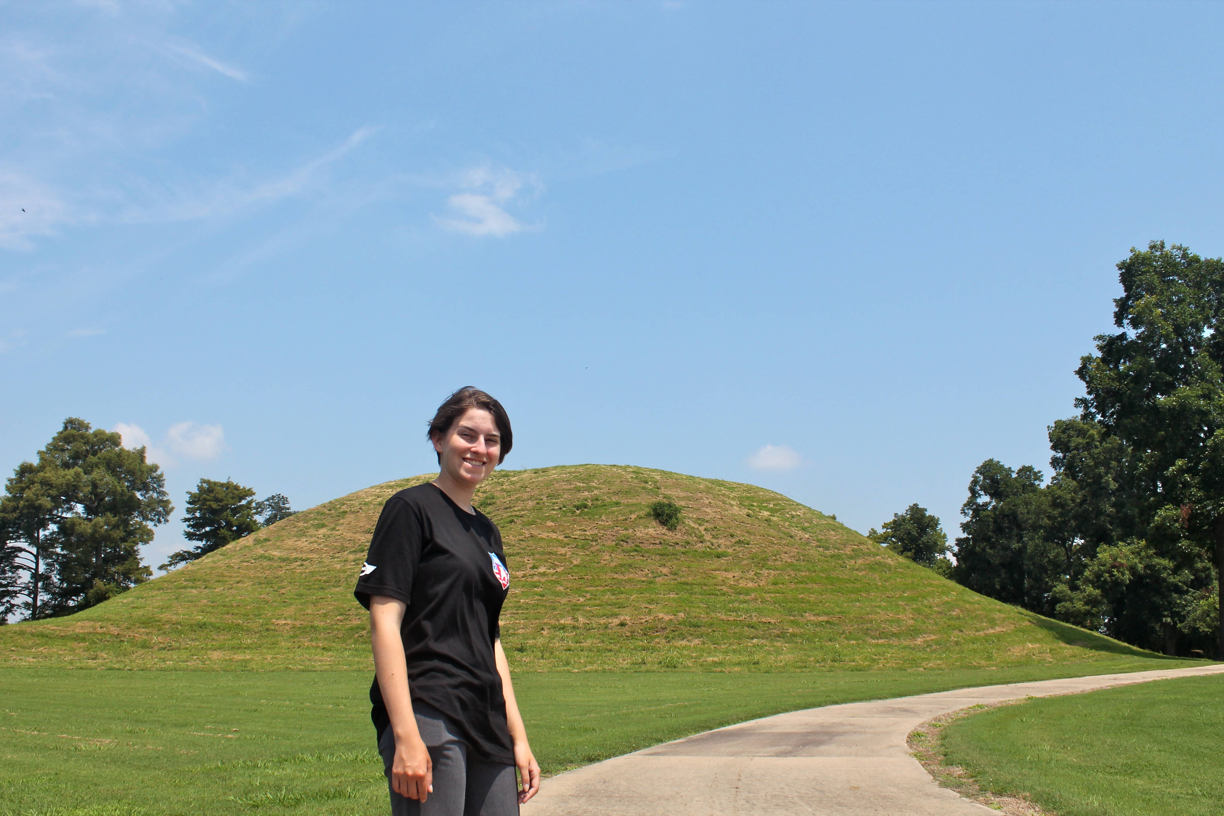
Anne at Mound A
Toltec Mounds
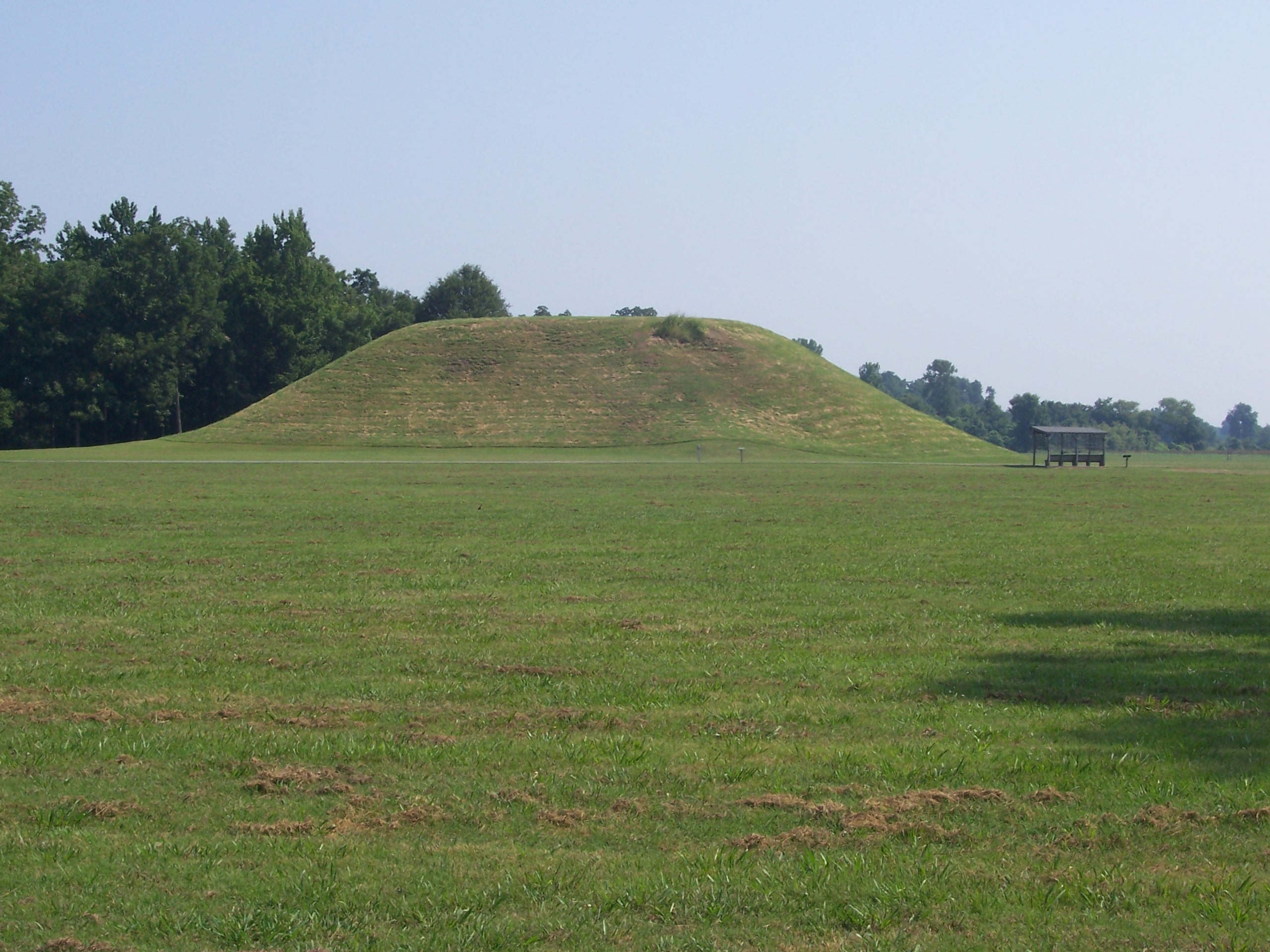
Toltec Mound A 5 2008

Toltec Mound A 4 2008
Toltec Mound B 3 2008
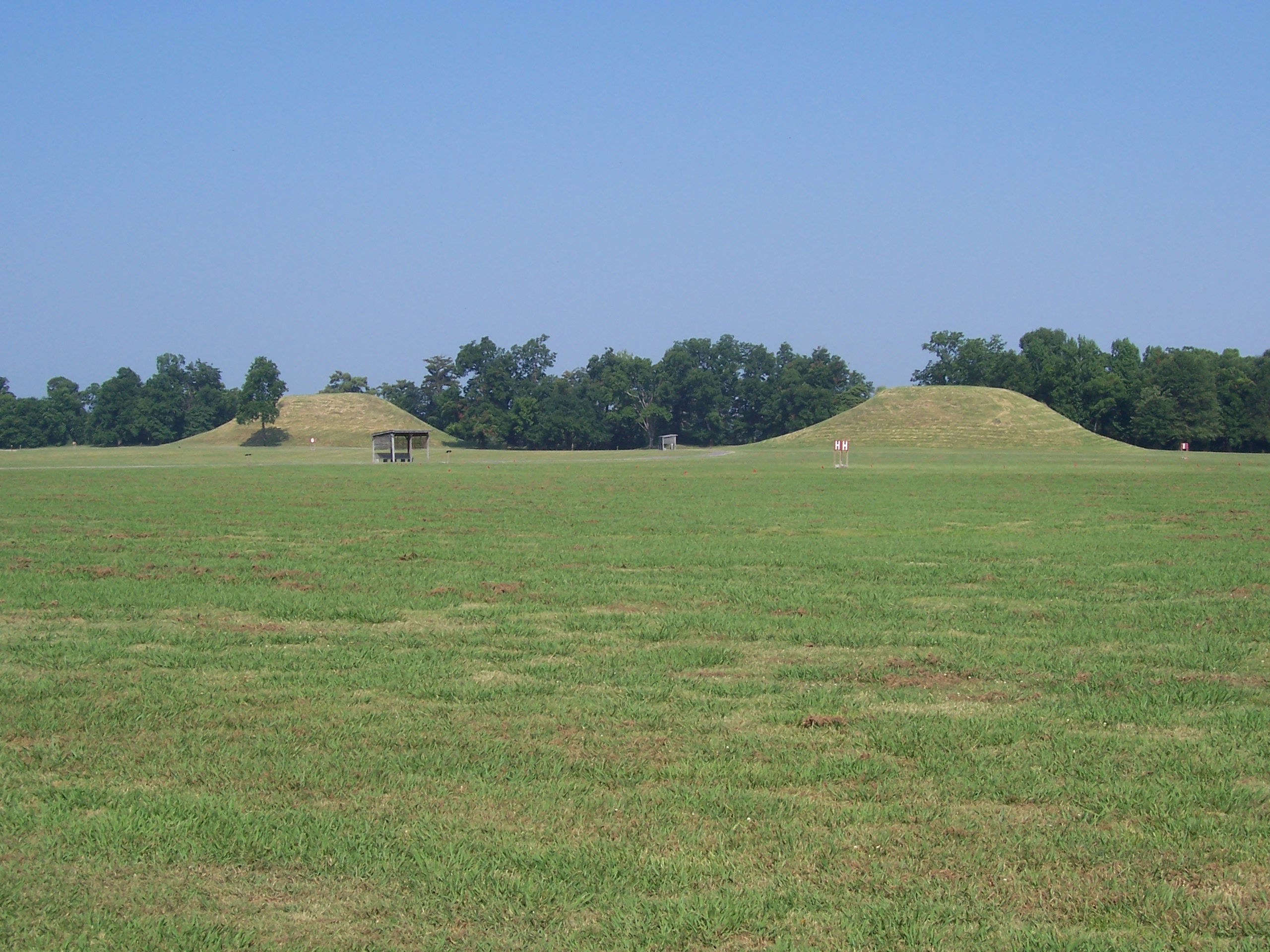
Toltec MoundsA&B 2 2008
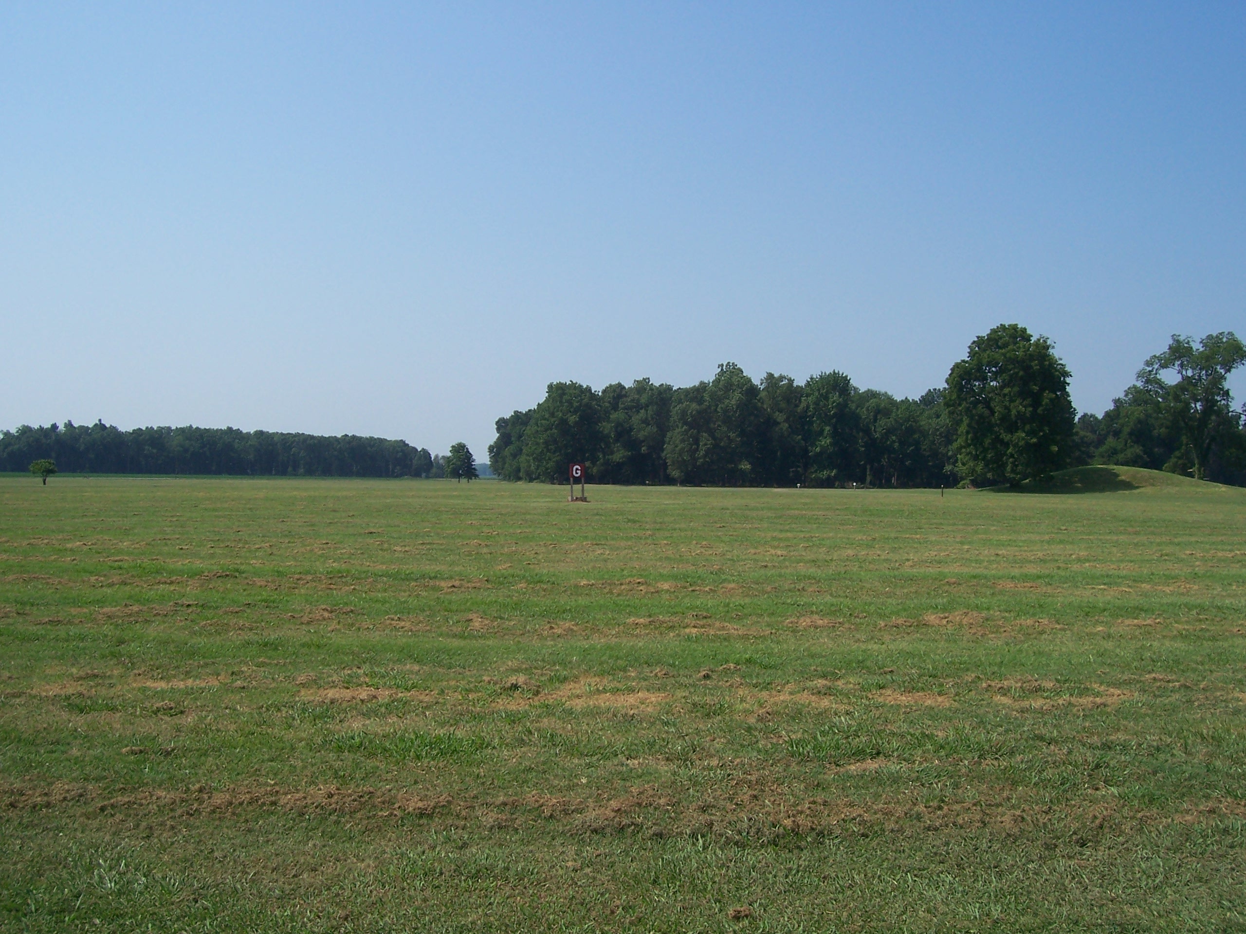
Toltec Mound G 2008
Topographic Map of S Main St, England, AR, USA
Find elevation by address:

Places near S Main St, England, AR, USA:
England
Gum Woods Township
Lafayette Township
AR-15, Tucker, AR, USA
Hwy 31 S, Lonoke, AR, USA
Cotton St, Sherrill, AR, USA
Warren Rd, England, AR, USA
Hwy 31, England, AR, USA
Wampoo Rd, England, AR, USA
Indian Bayou Township
AR-, Scott, AR, USA
Dudley Lake Township
Bolivar Township
Hwy 31, Lonoke, AR, USA
AR-, Tucker, AR, USA
40 Johnson Rd, Scott, AR, USA
Williams Township
Lake St, Sherrill, AR, USA
Sherrill
Richwoods Township
Recent Searches:
- Elevation of Corso Fratelli Cairoli, 35, Macerata MC, Italy
- Elevation of Tallevast Rd, Sarasota, FL, USA
- Elevation of 4th St E, Sonoma, CA, USA
- Elevation of Black Hollow Rd, Pennsdale, PA, USA
- Elevation of Oakland Ave, Williamsport, PA, USA
- Elevation of Pedrógão Grande, Portugal
- Elevation of Klee Dr, Martinsburg, WV, USA
- Elevation of Via Roma, Pieranica CR, Italy
- Elevation of Tavkvetili Mountain, Georgia
- Elevation of Hartfords Bluff Cir, Mt Pleasant, SC, USA