Elevation of AR-, Little Rock, AR, USA
Location: United States > Arkansas > Pulaski County > Big Rock Township > Little Rock >
Longitude: -92.210898
Latitude: 34.576681
Elevation: 70m / 230feet
Barometric Pressure: 100KPa
Elevation Map:
Satellite Map:
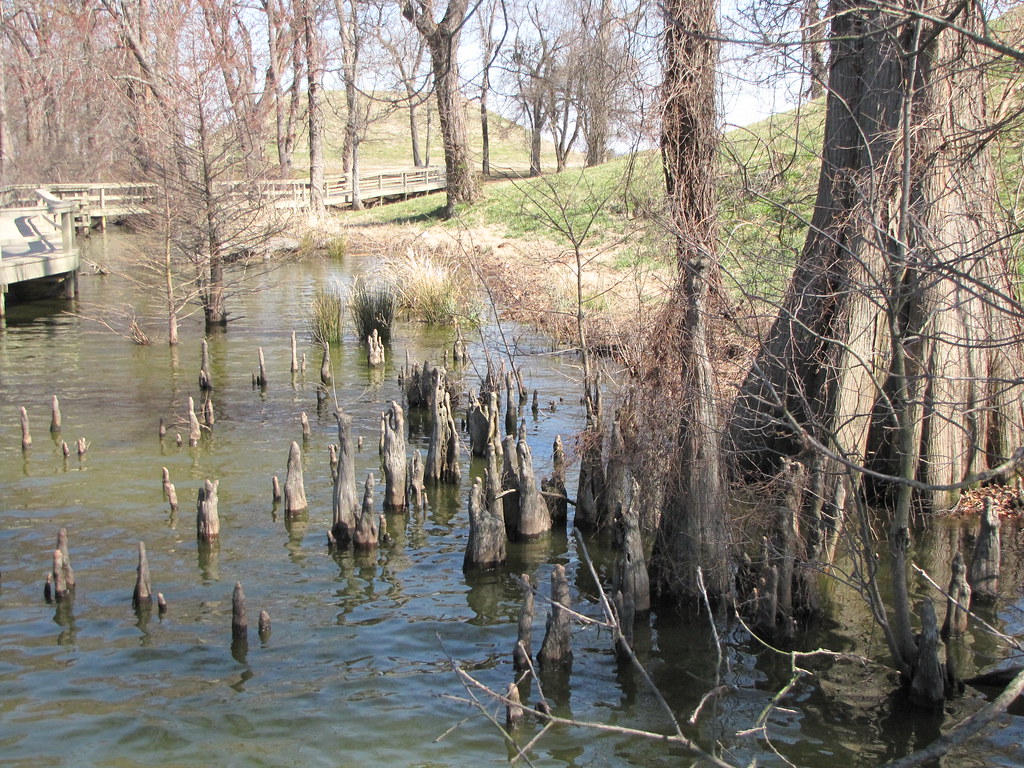
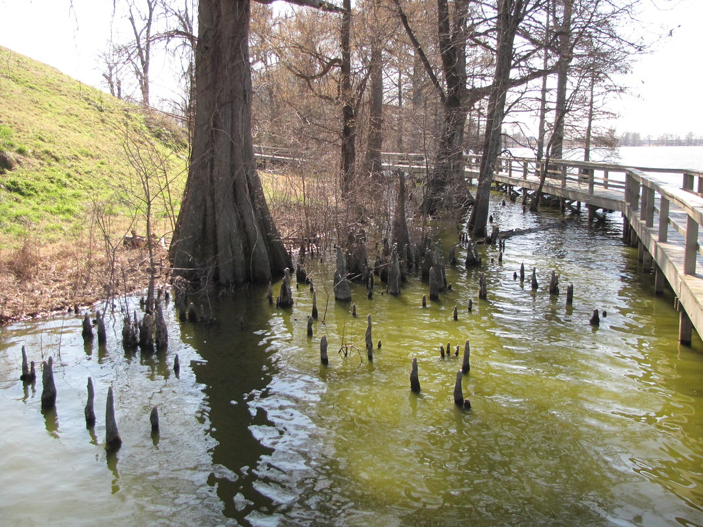
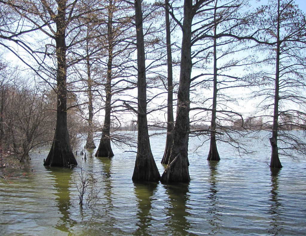
Related Photos:
IMG_0228 (2)
IMG_0229 (2)
IMG_0226 (2)
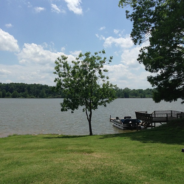
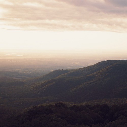
Peaceful and serene views at the lake with the McValleys #memorialday2013
2014.03.03

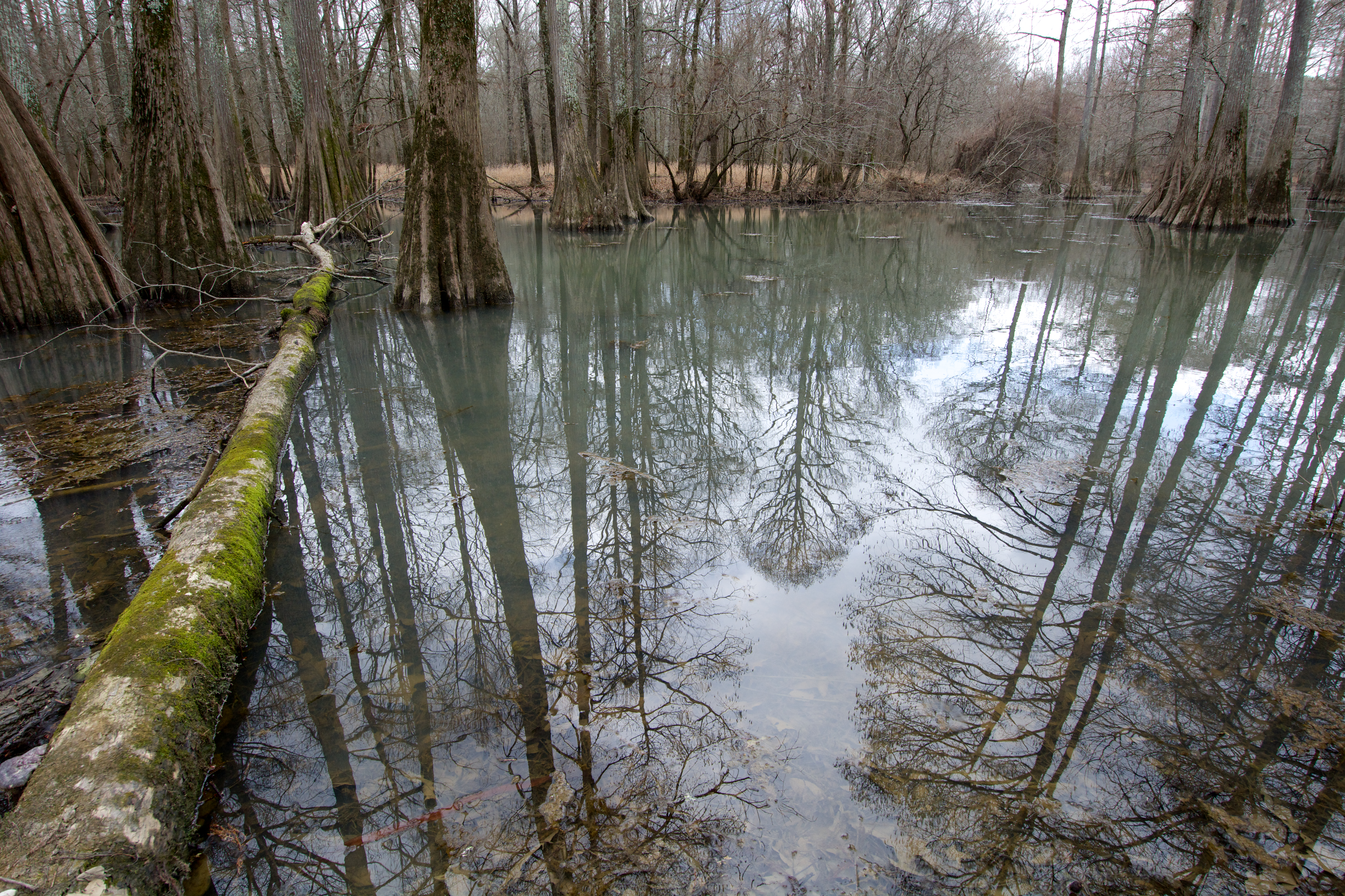
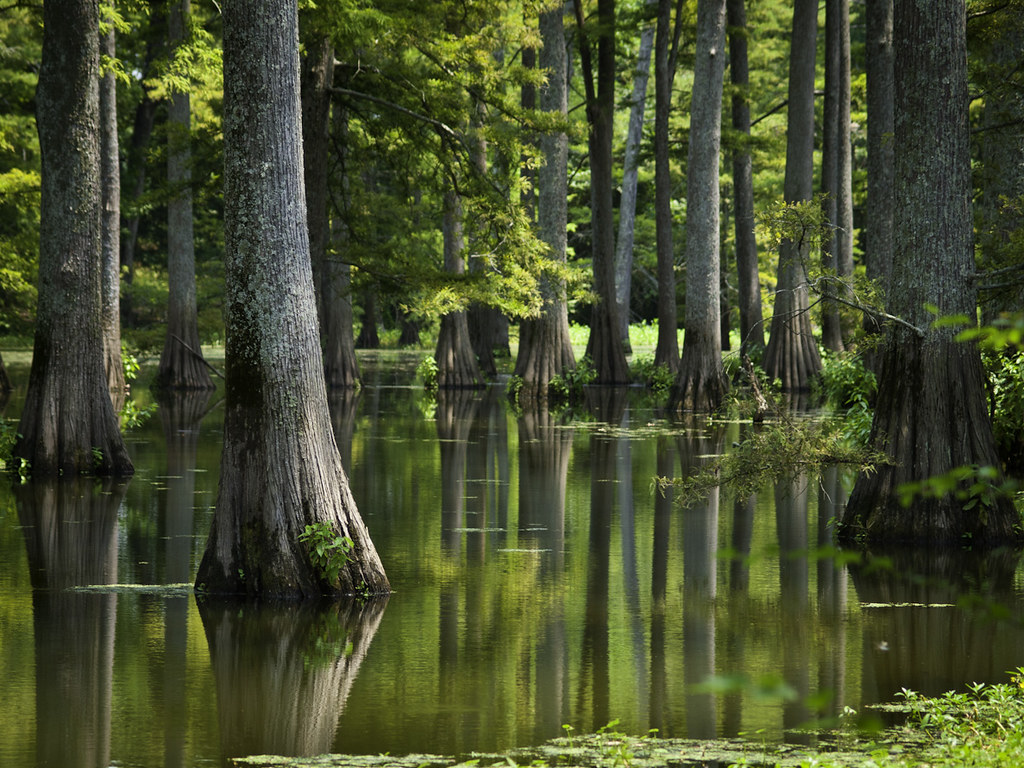
Taxodium distichum

Fourche Creek-17.jpg
Winter Reflections
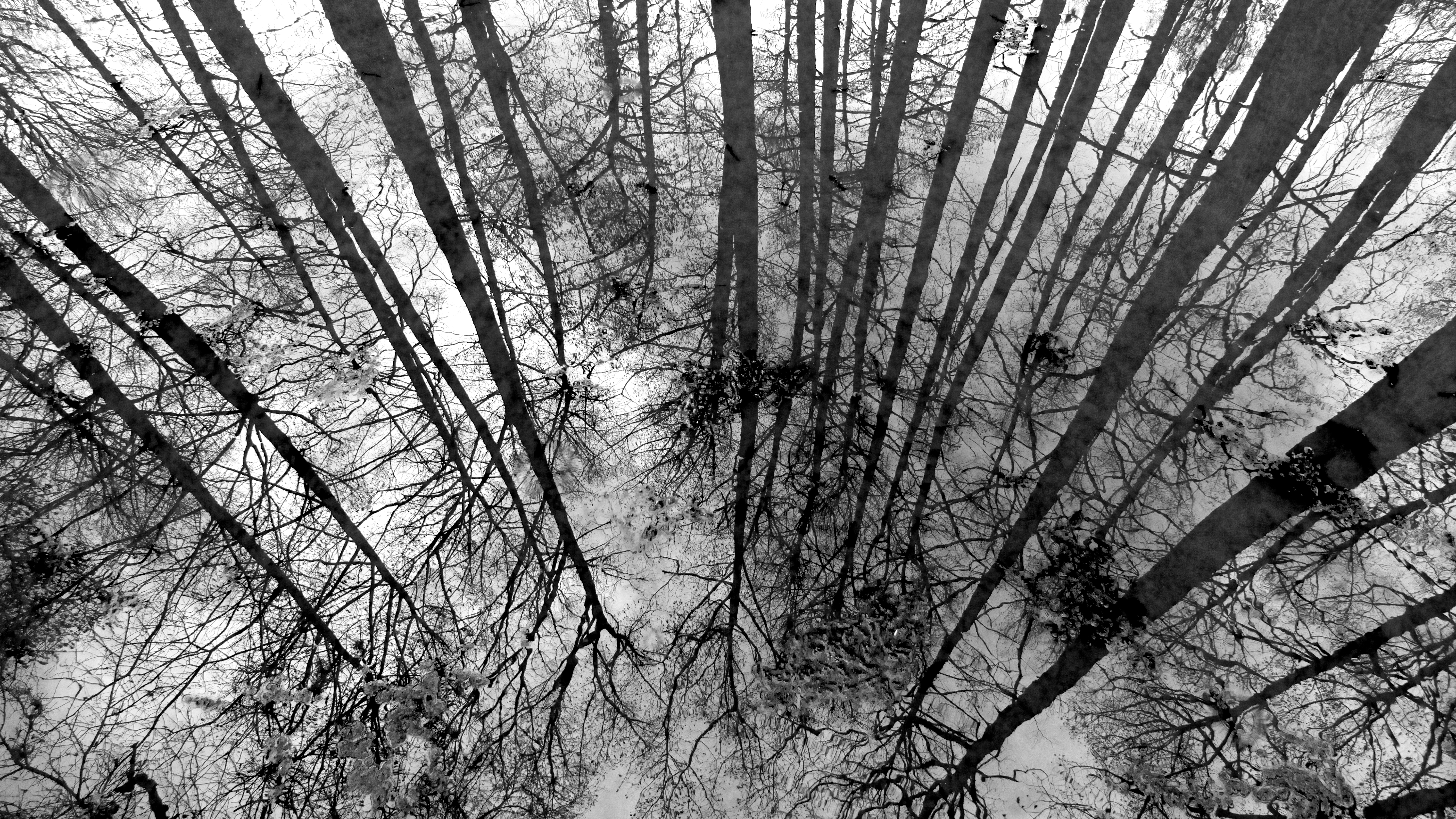
Winter Reflections
Plum Bayou
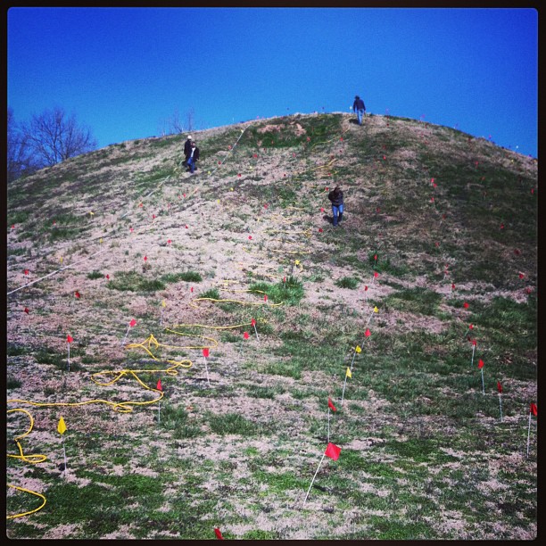
ERT remote sensing on Mound B at Toltec Mounds
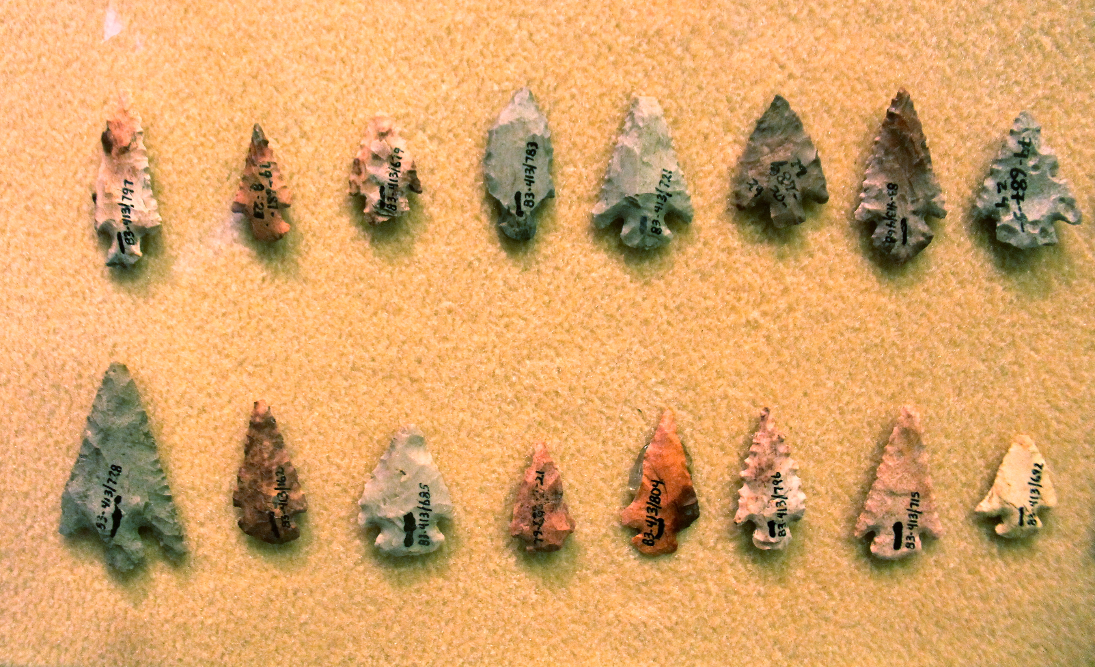
Chert Arrowheads
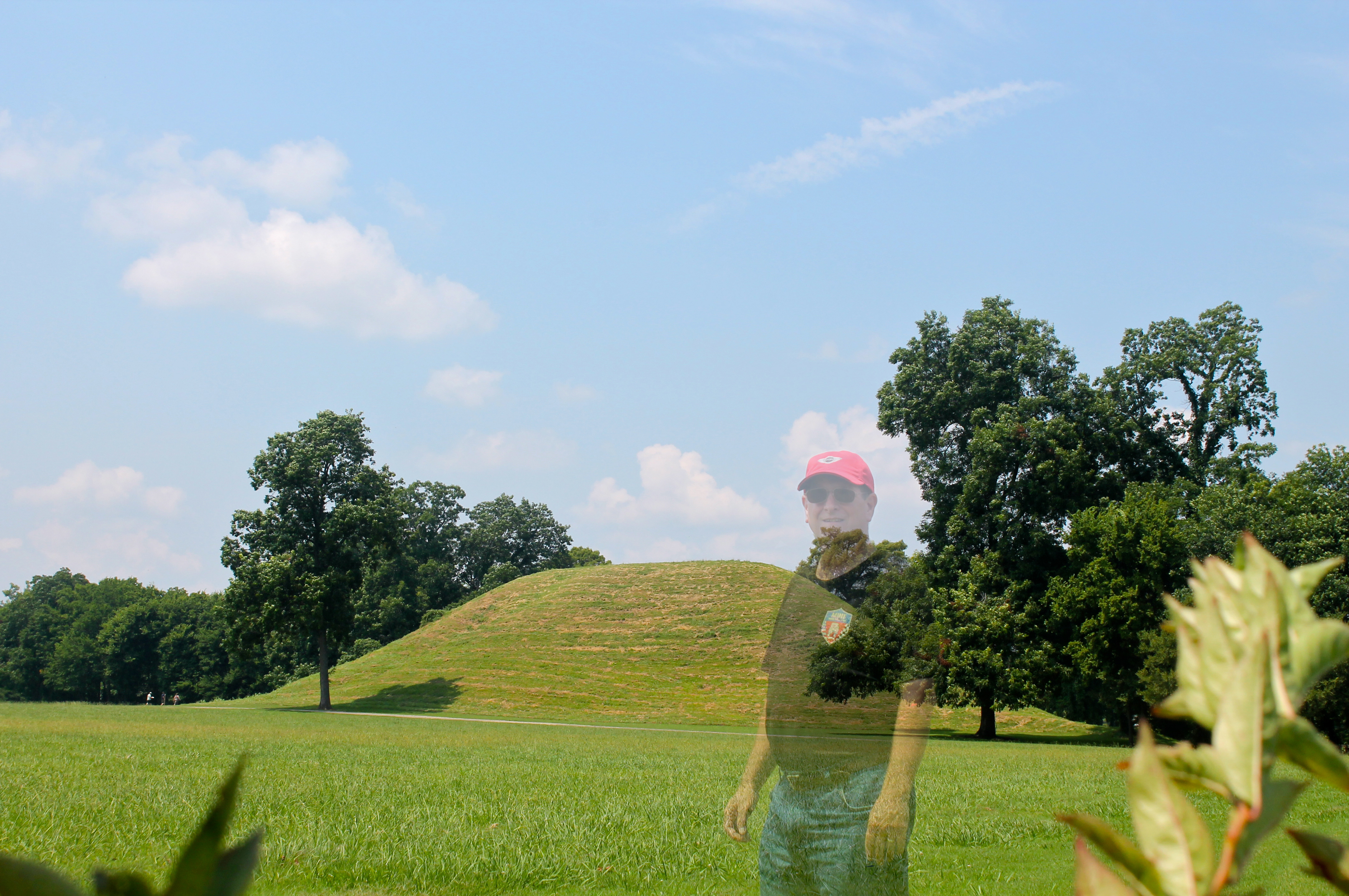
Ghosts of the Past
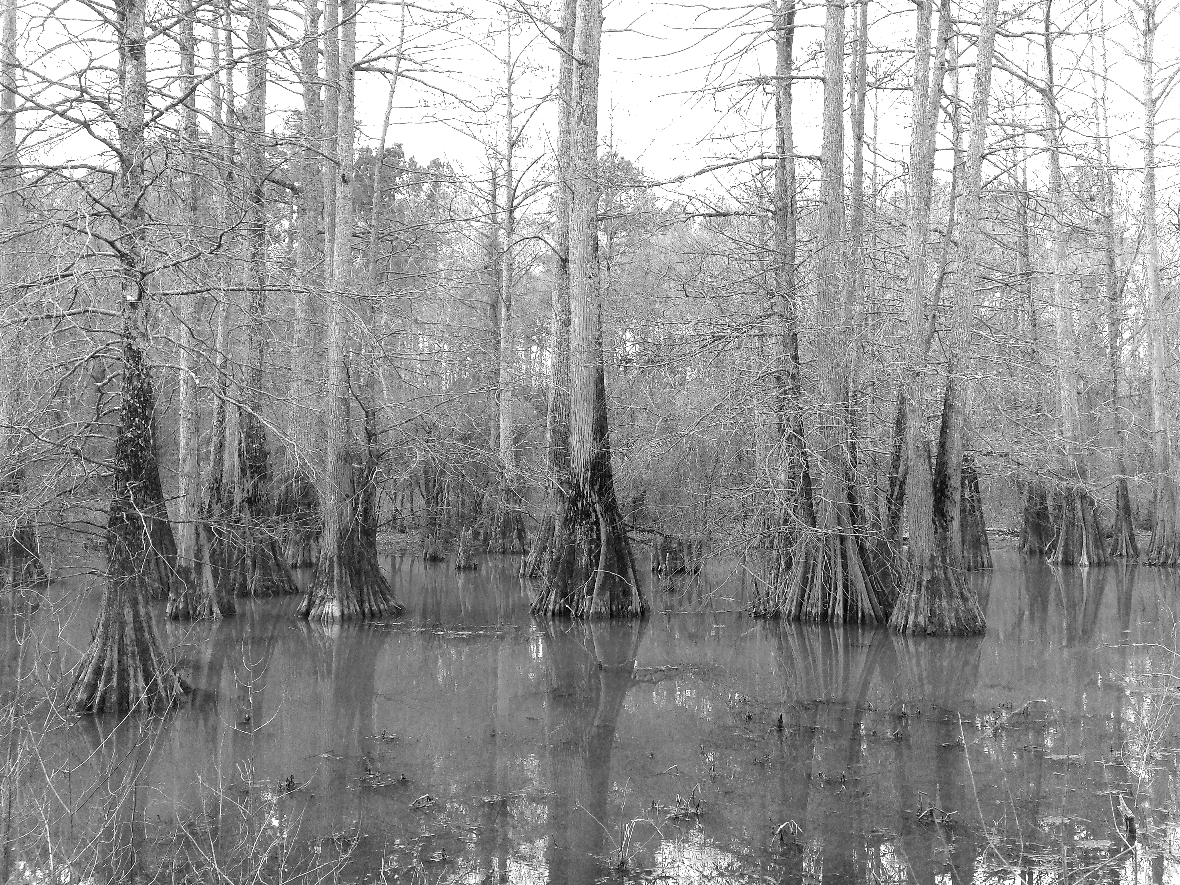
Taxodium distichum
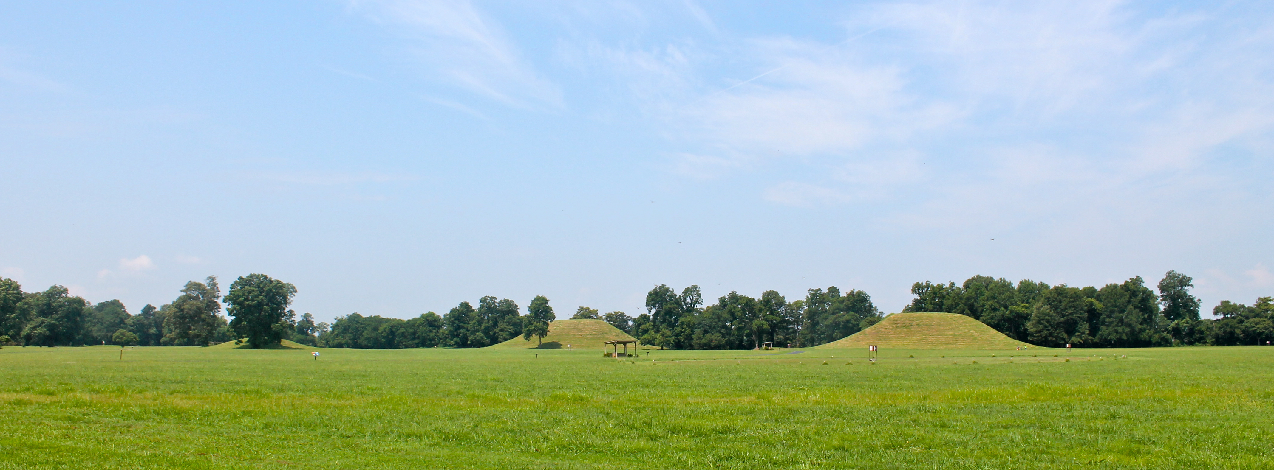
Indian Mounds

ERT remote sensing at Mound B at Toltec Mounds...
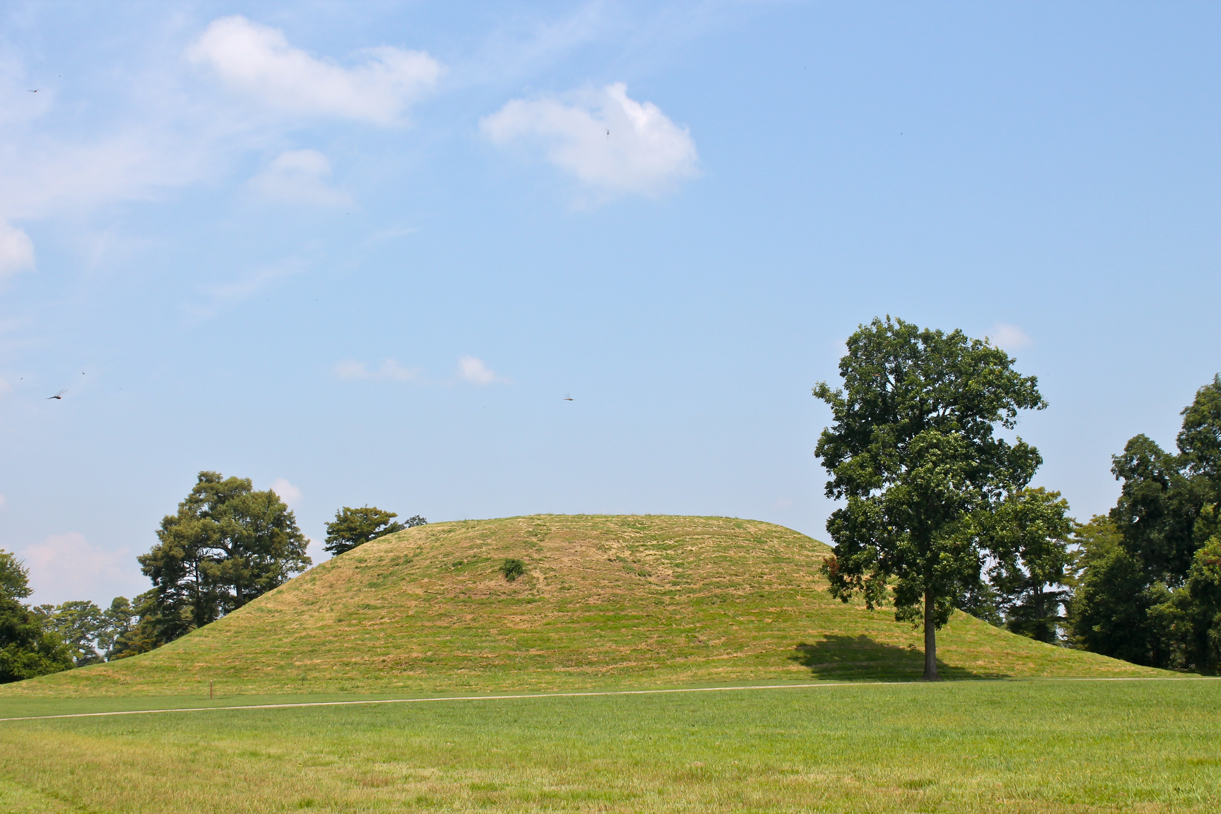
Mound A
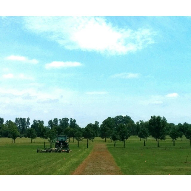
Good day for a run #arkansas #run #jog #cardio #spring
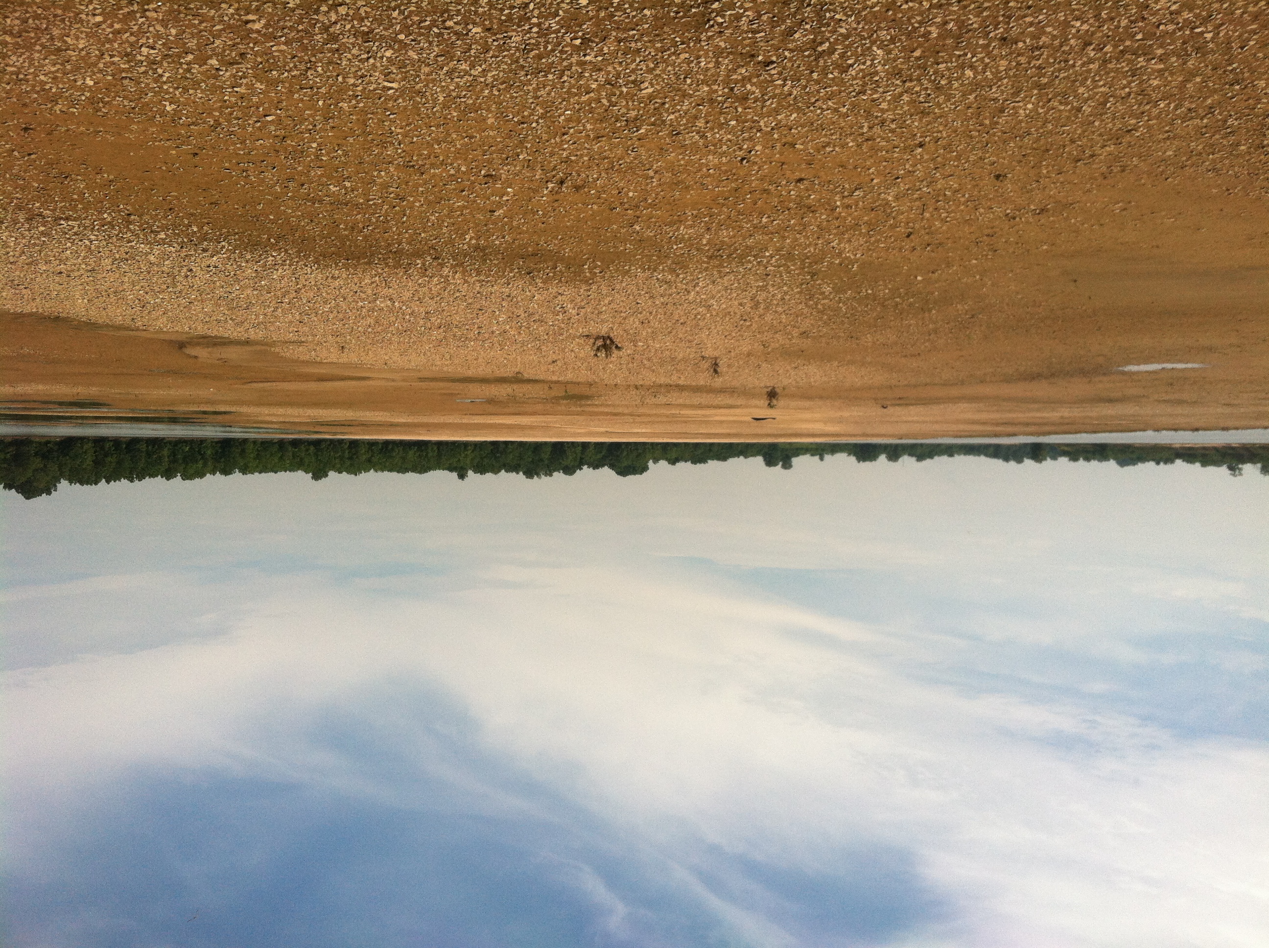
Arkansas River island near mile marker 101
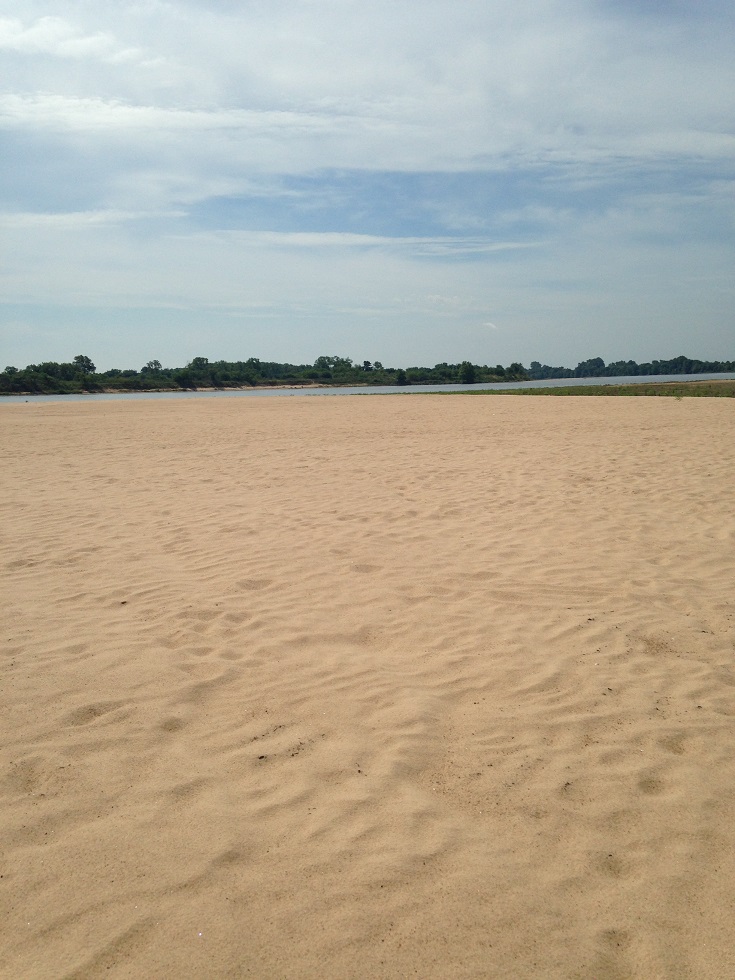
Arkansas River island near mile marker 101
Life is short. I hope that while I'm temporarily here on this spinning ball of dirt and water that I can speak life, love and truth into hearts. I'm thankful to have another shot at this everyday. | #vscocam
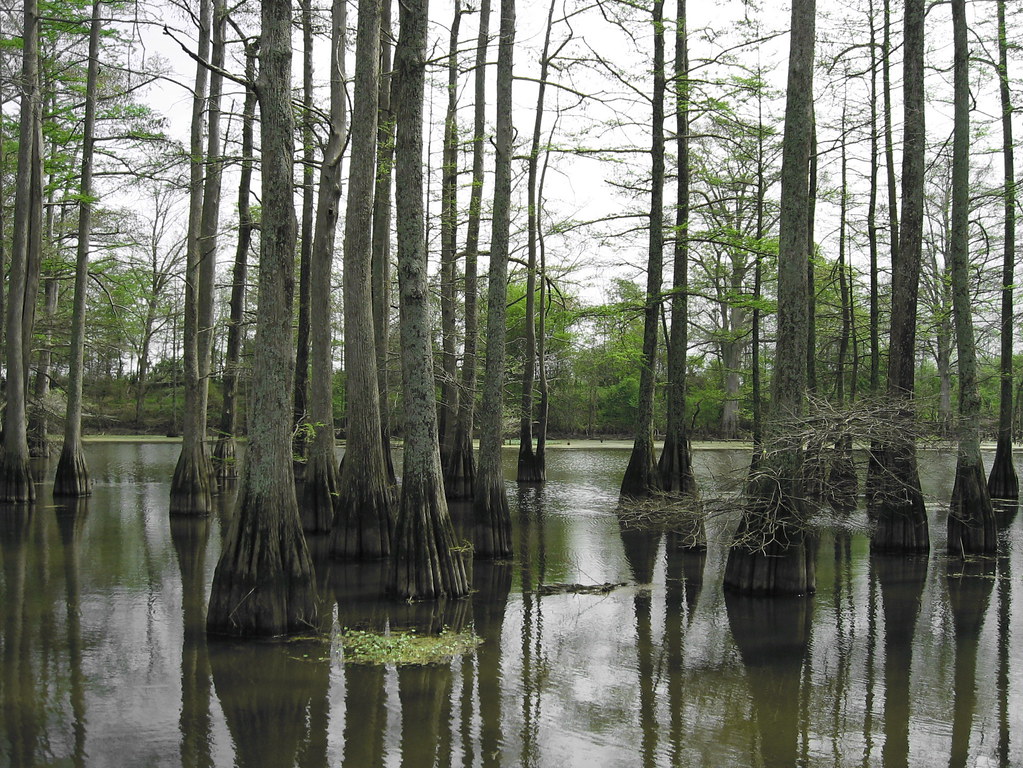
Arkansas Swamp
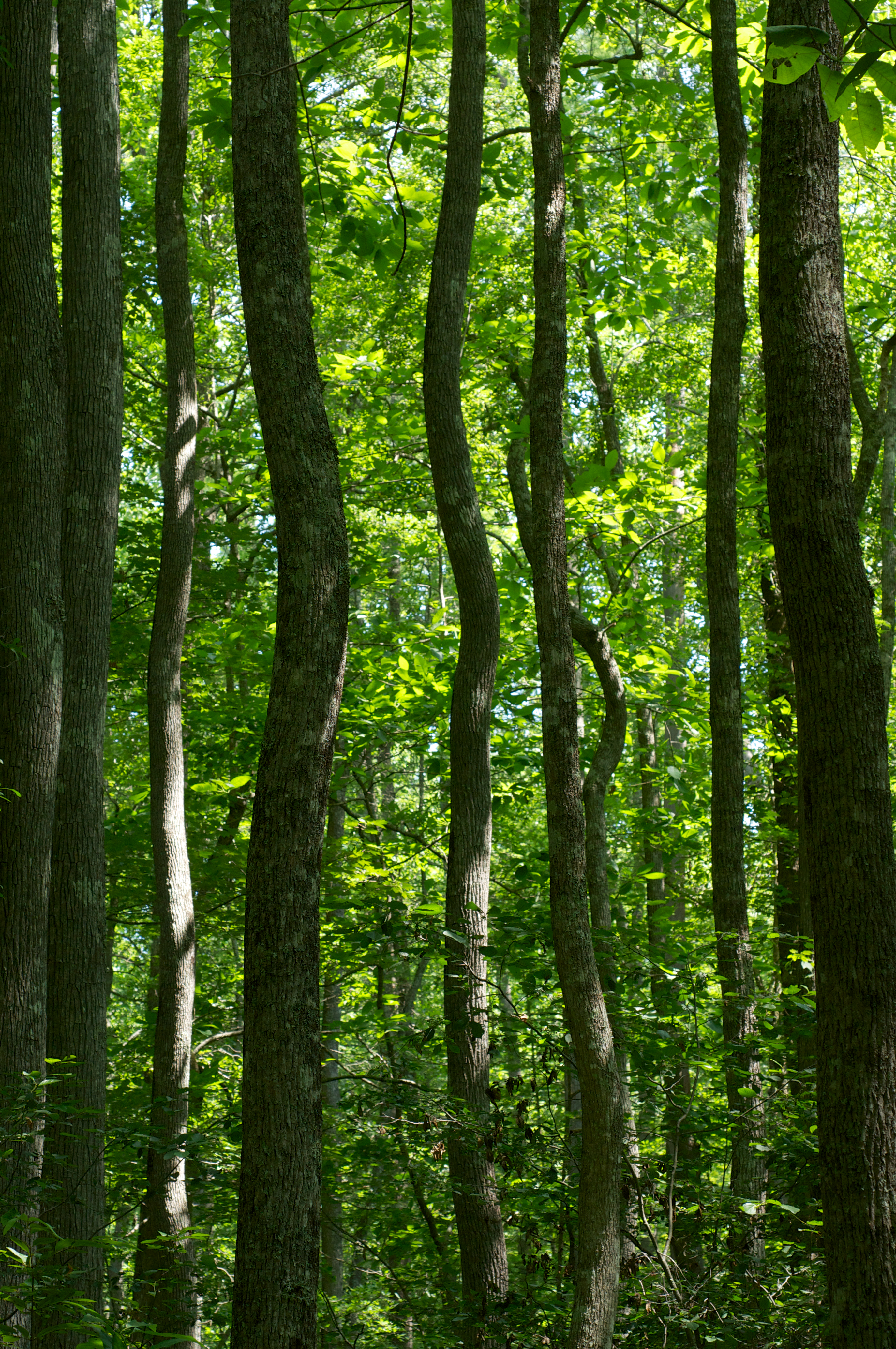
Lorance Creek Natural Area
Osmundastrum cinnamomeum
Topographic Map of AR-, Little Rock, AR, USA
Find elevation by address:

Places near AR-, Little Rock, AR, USA:
W Bingham Rd, Little Rock, AR, USA
AR-, Little Rock, AR, USA
John Branch Road
11608 Patia Cove
10510 River Trail Dr
Banner Township
Arch St, Little Rock, AR, USA
9605 Ar-161
Salem Cemetery
9605 Ar-161
Wampoo Rd, England, AR, USA
Arch St, Little Rock, AR, USA
East End
SE Railroad St, Redfield, AR, USA
Granite Mountain
Hilaro Springs Rd, Little Rock, AR, USA
15-11
Bankhead Dr, Little Rock, AR, USA
Shopwise Market
5519 E Roosevelt Rd
Recent Searches:
- Elevation of 72-31 Metropolitan Ave, Middle Village, NY, USA
- Elevation of 76 Metropolitan Ave, Brooklyn, NY, USA
- Elevation of Alisal Rd, Solvang, CA, USA
- Elevation of Vista Blvd, Sparks, NV, USA
- Elevation of 15th Ave SE, St. Petersburg, FL, USA
- Elevation of Beall Road, Beall Rd, Florida, USA
- Elevation of Leguwa, Nepal
- Elevation of County Rd, Enterprise, AL, USA
- Elevation of Kolchuginsky District, Vladimir Oblast, Russia
- Elevation of Shustino, Vladimir Oblast, Russia