Elevation of W Bingham Rd, Little Rock, AR, USA
Location: United States > Arkansas > Pulaski County > Big Rock Township > Little Rock >
Longitude: -92.273169
Latitude: 34.584727
Elevation: 83m / 272feet
Barometric Pressure: 100KPa
Elevation Map:
Satellite Map:
Related Photos:

Little Rock National Cemetery

Silent Lines
A view from "The Village"

Shoulder to Shoulder
2014.06.10

View from the Sound Board
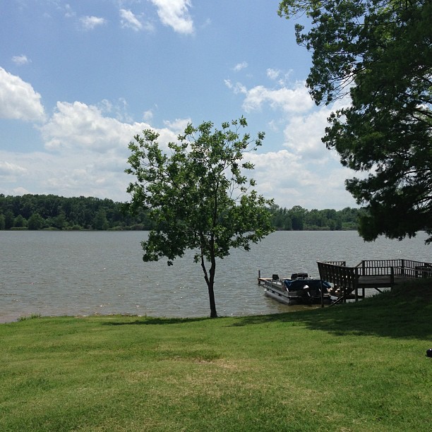
Peaceful and serene views at the lake with the McValleys #memorialday2013

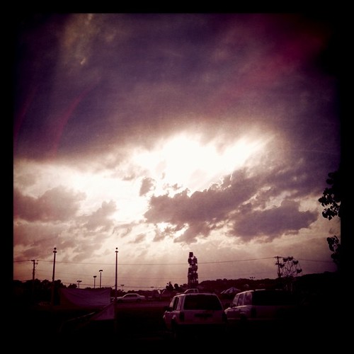
Day 284 - The view from on high
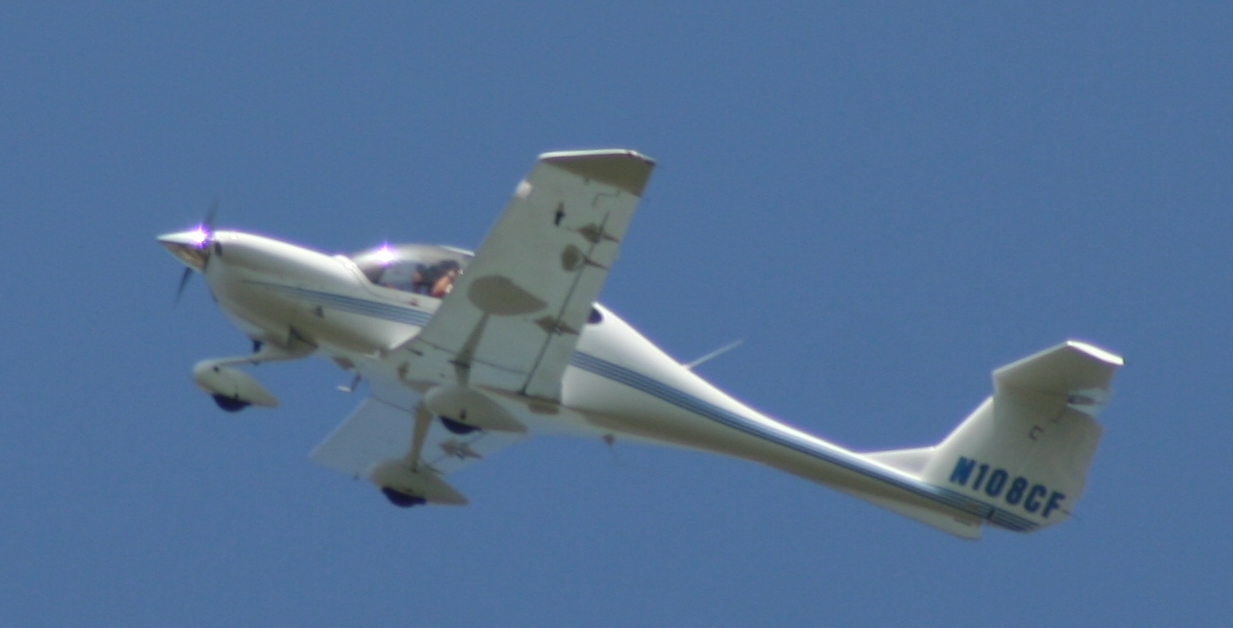
Getting an aerial view
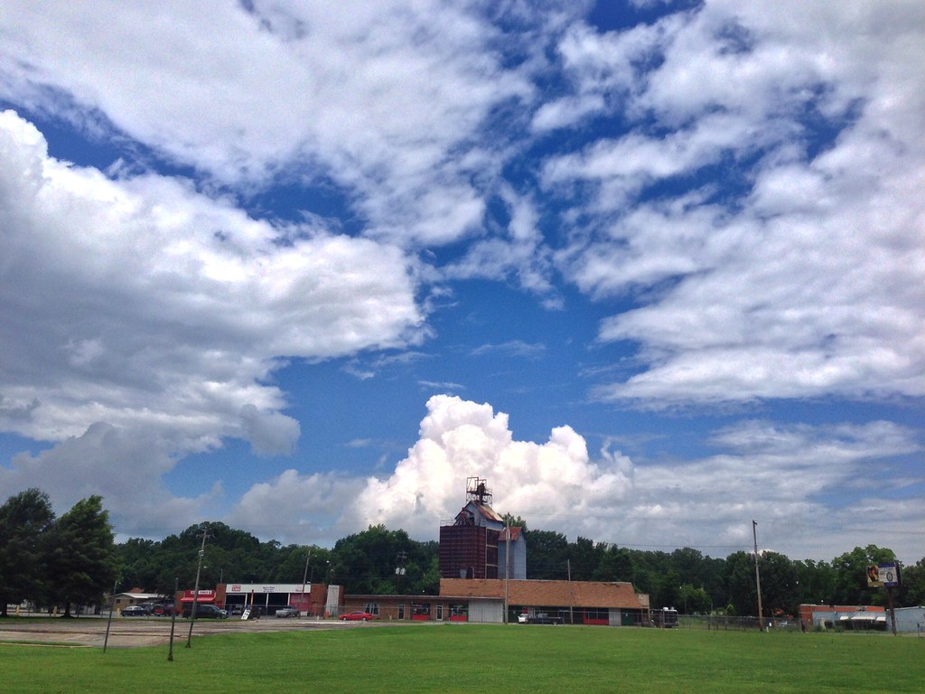
2014.03.03

Taxodium distichum
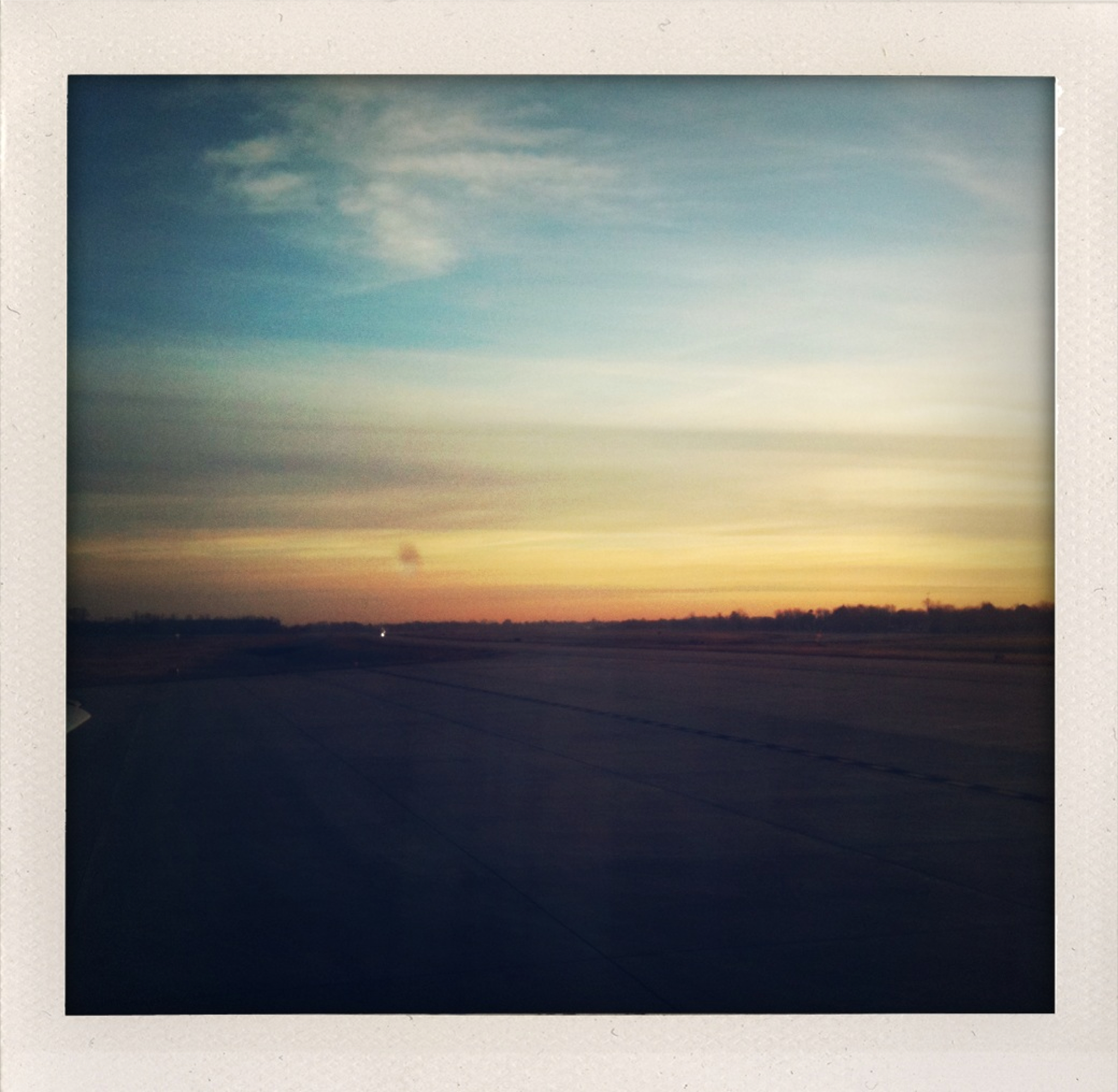
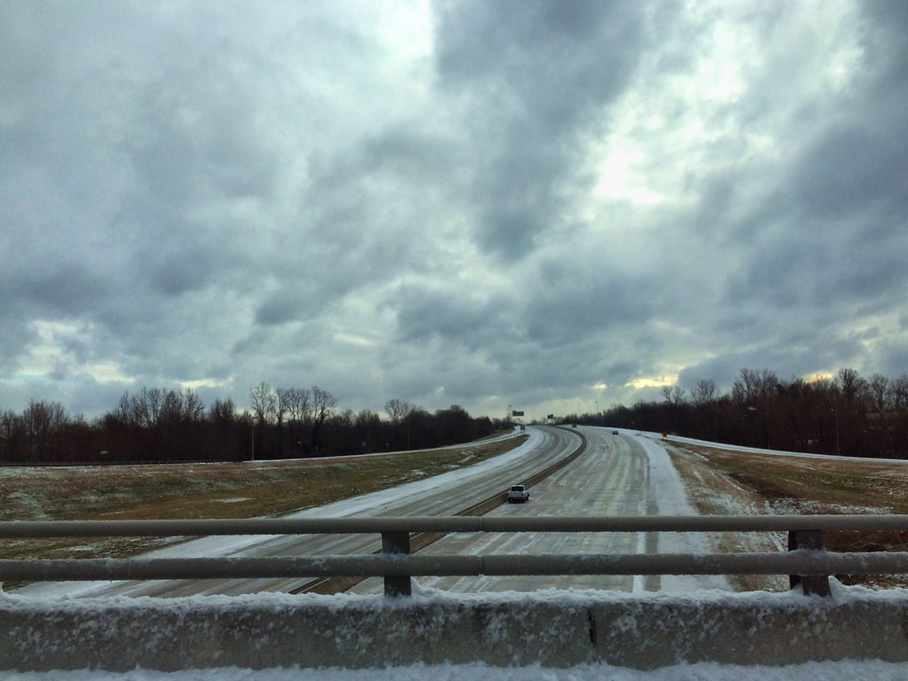
Dawn from the Tarmac

Fourche Creek-17.jpg
2014.02.11
Arkansas River island near mile marker 101
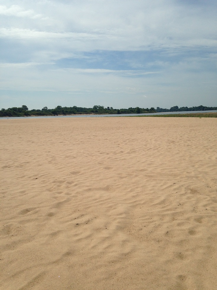
Arkansas River island near mile marker 101
Lorance Creek Natural Area
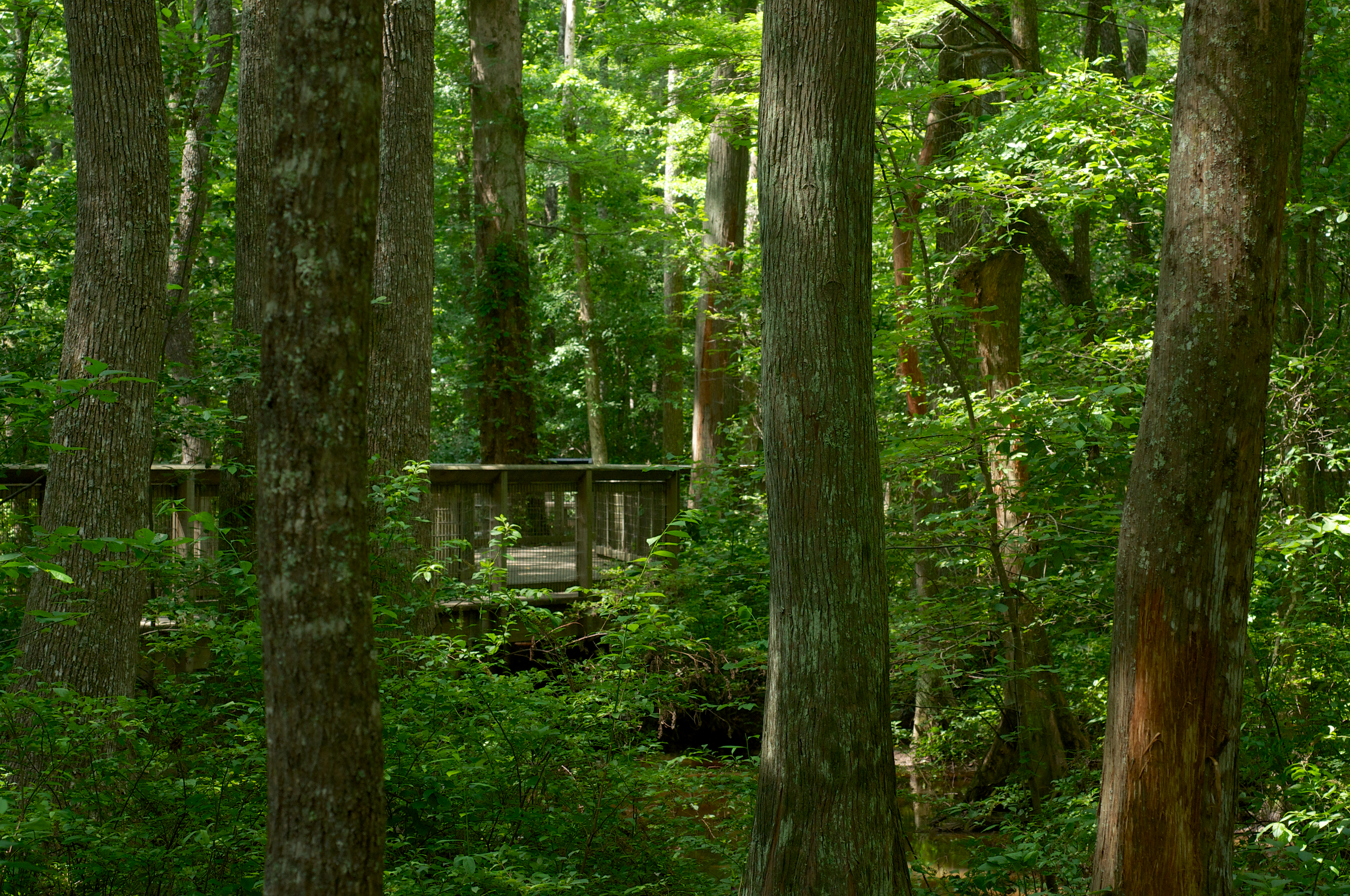
Taxodium distichum
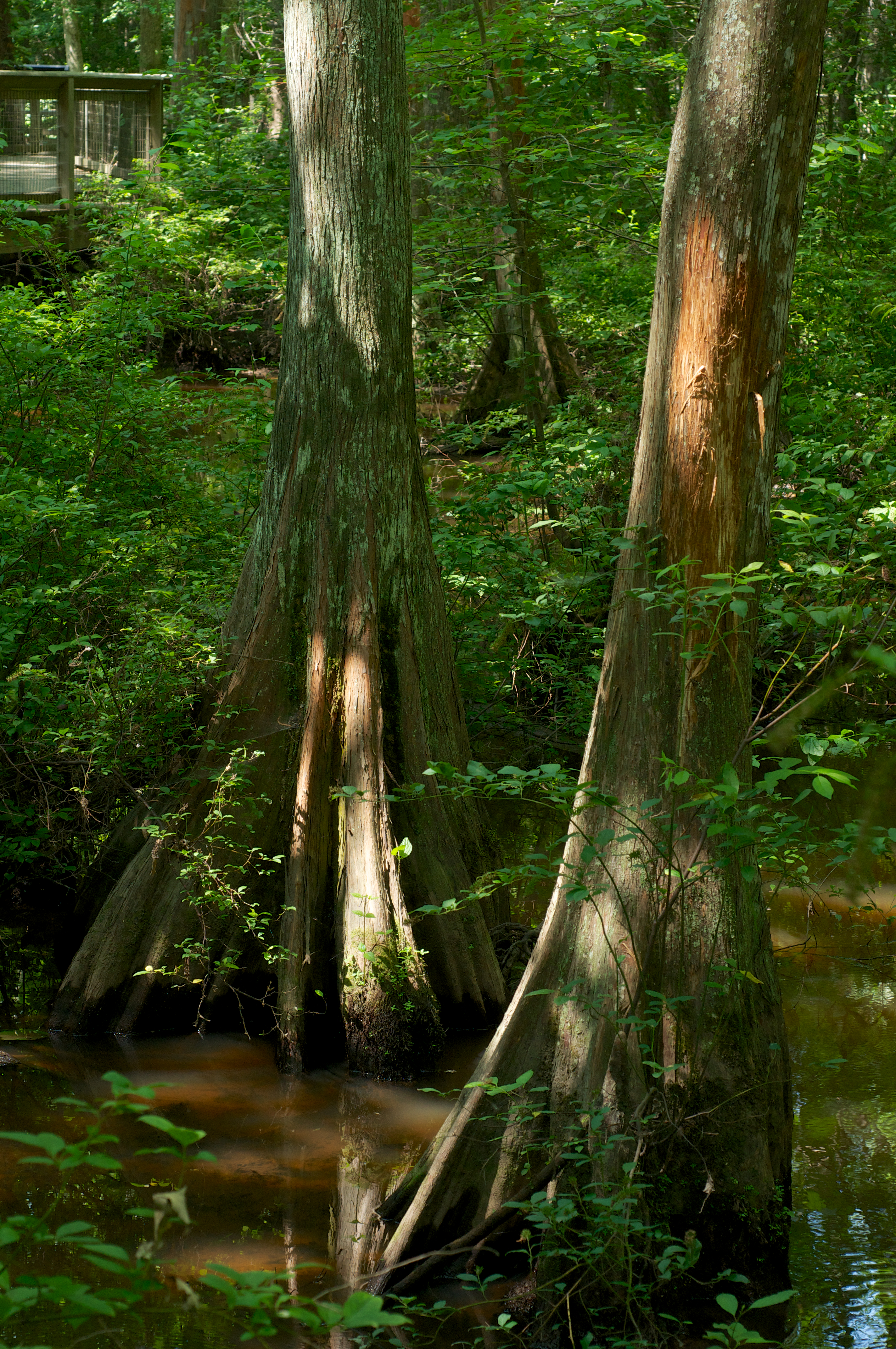
Taxodium distichum
Lorance Creek Natural Area
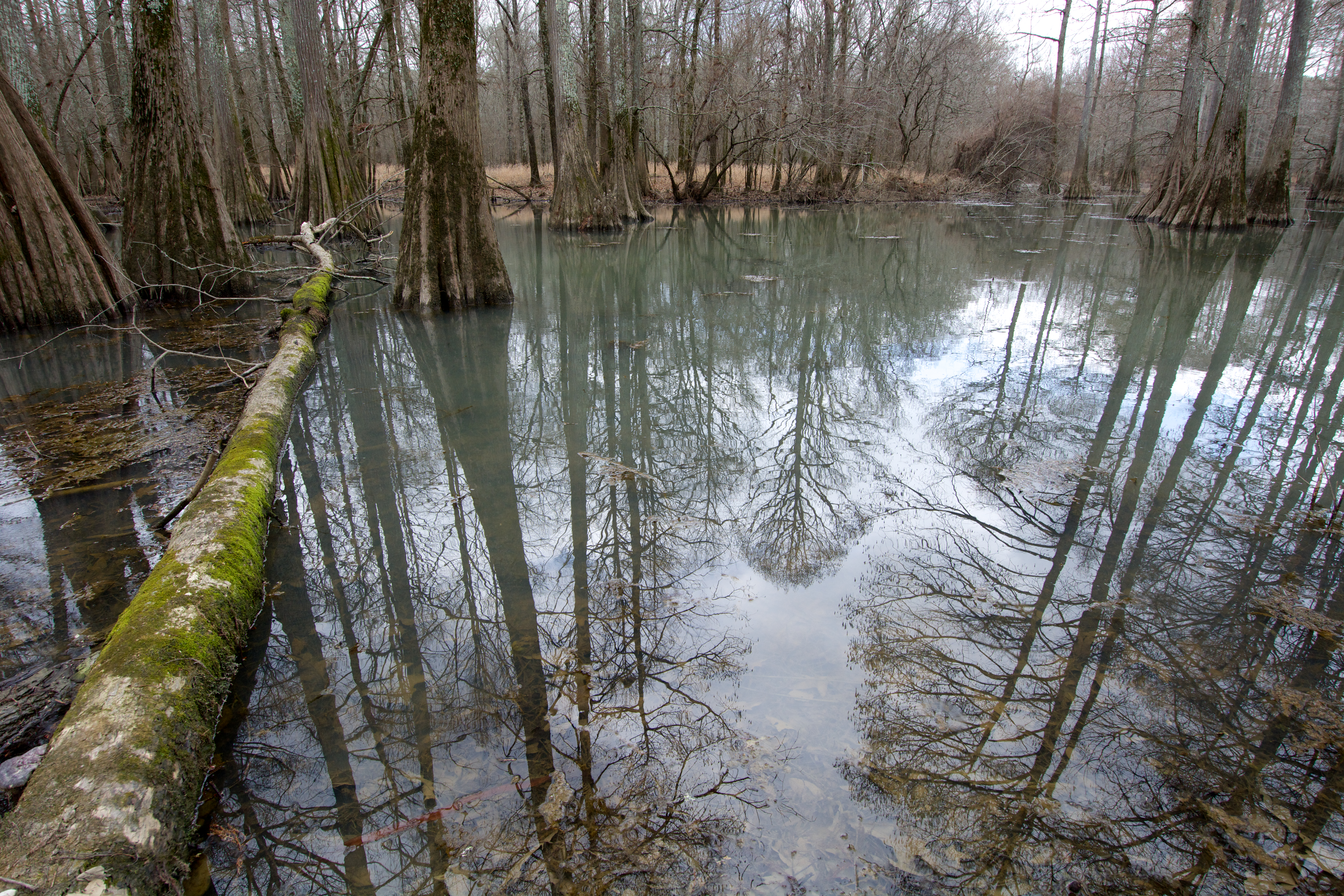
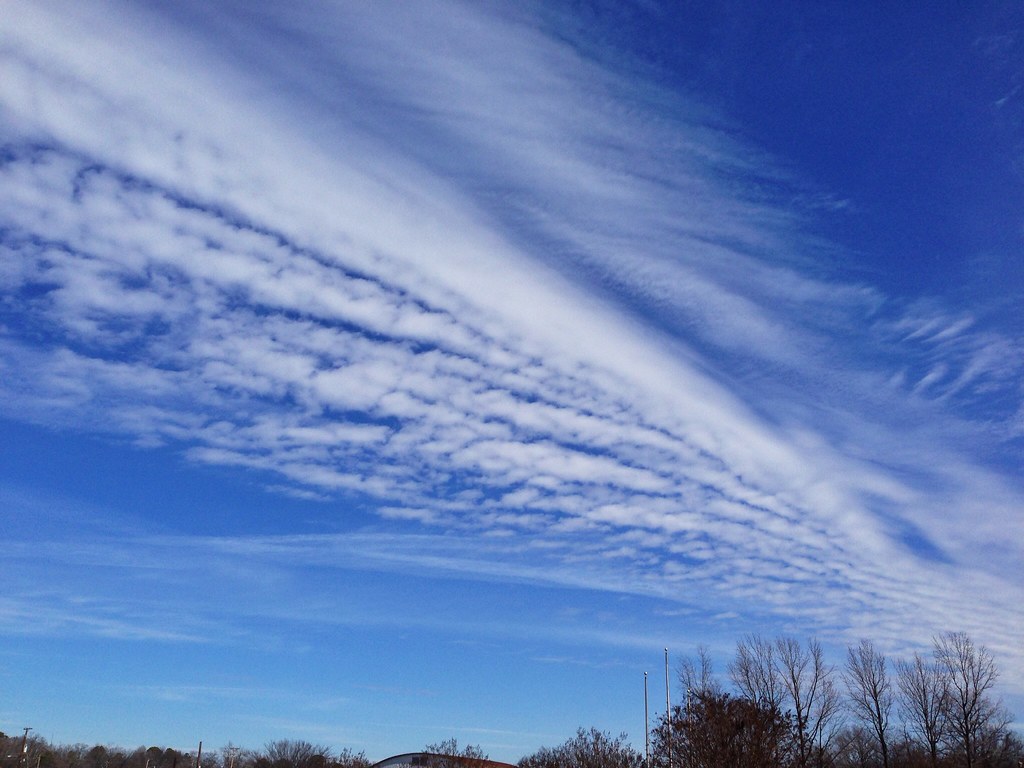
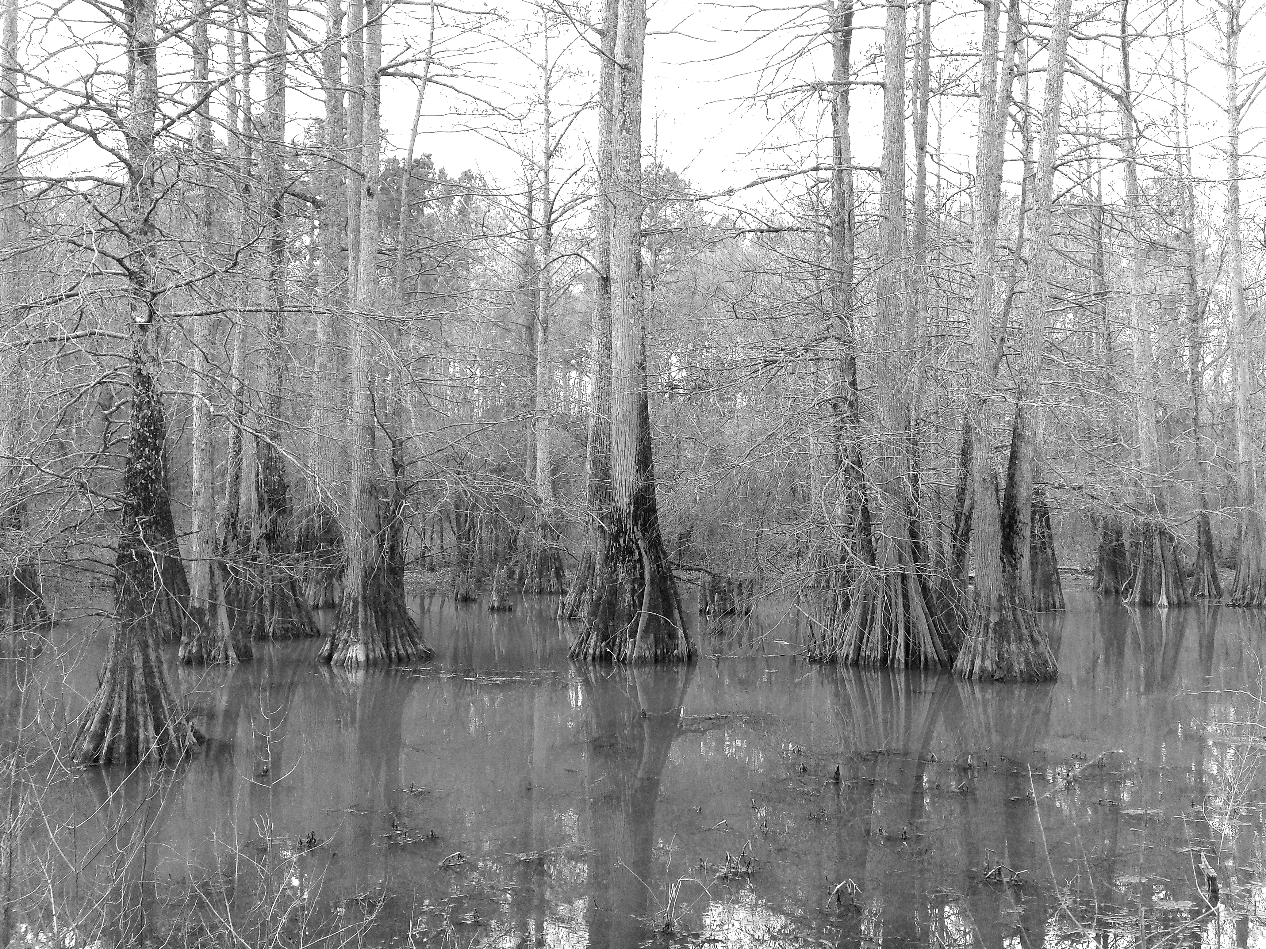
Winter Reflections

Winter Reflections
2014.06.16
2014.04.08
2014.06.24
2014.07.10
Good day for a run #arkansas #run #jog #cardio #spring
Life is short. I hope that while I'm temporarily here on this spinning ball of dirt and water that I can speak life, love and truth into hearts. I'm thankful to have another shot at this everyday. | #vscocam
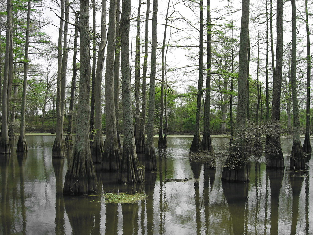
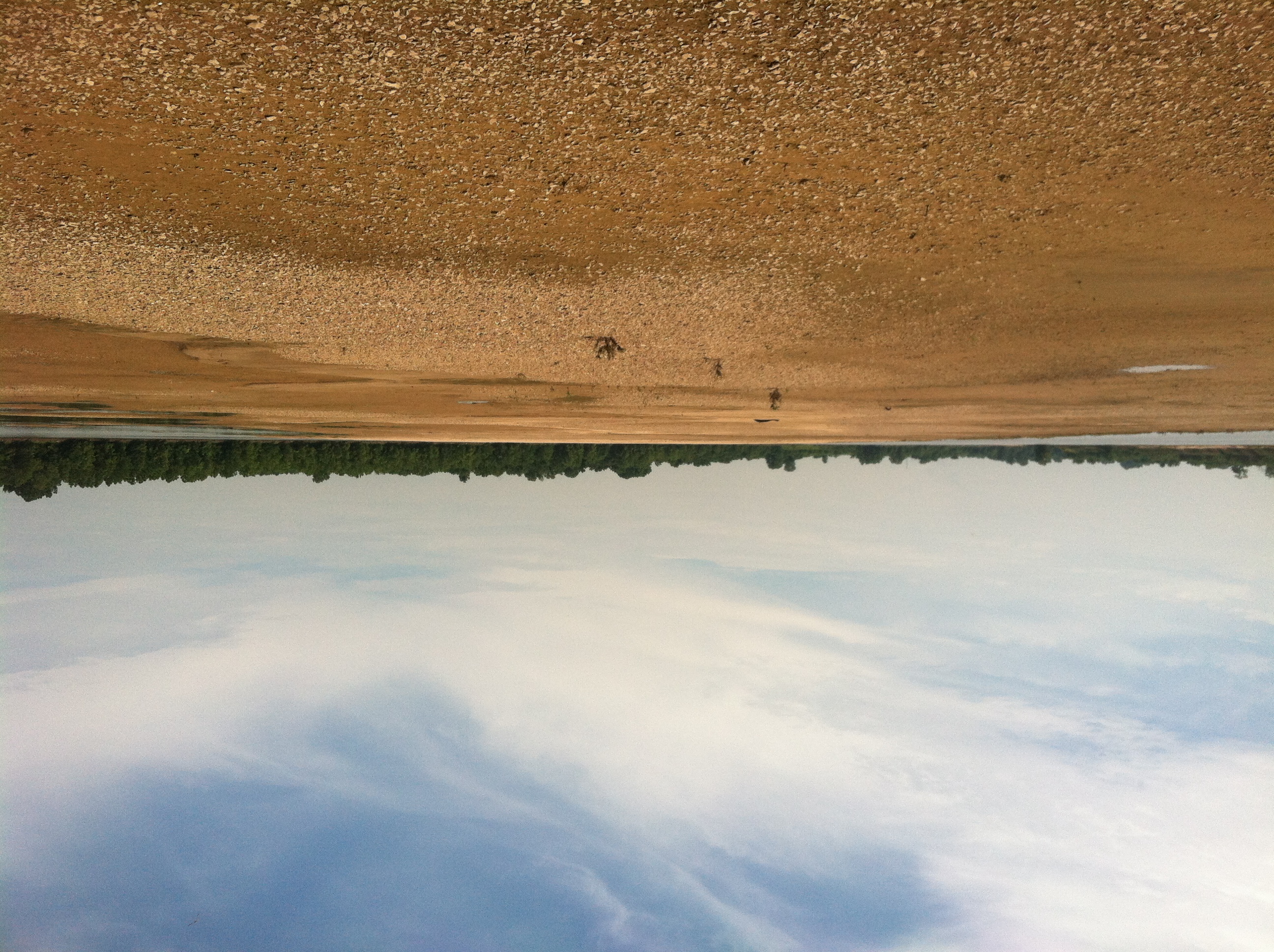
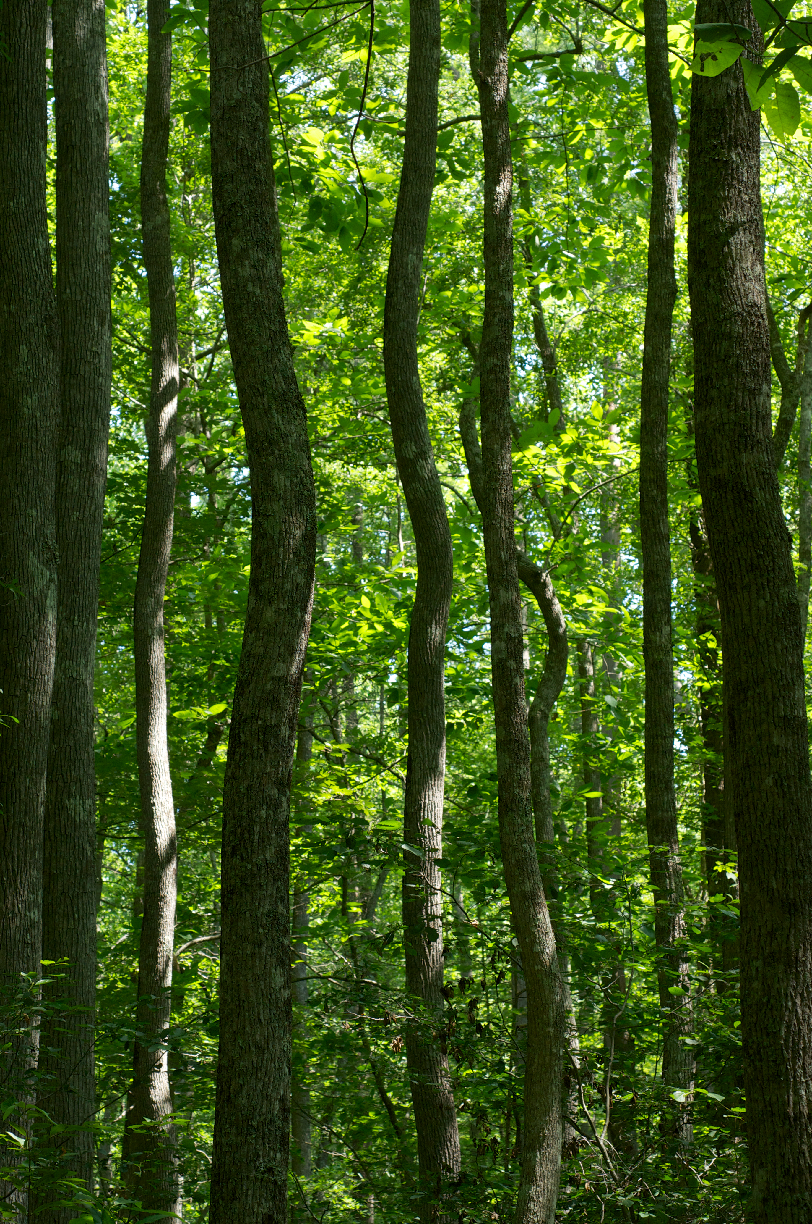
Arkansas Swamp
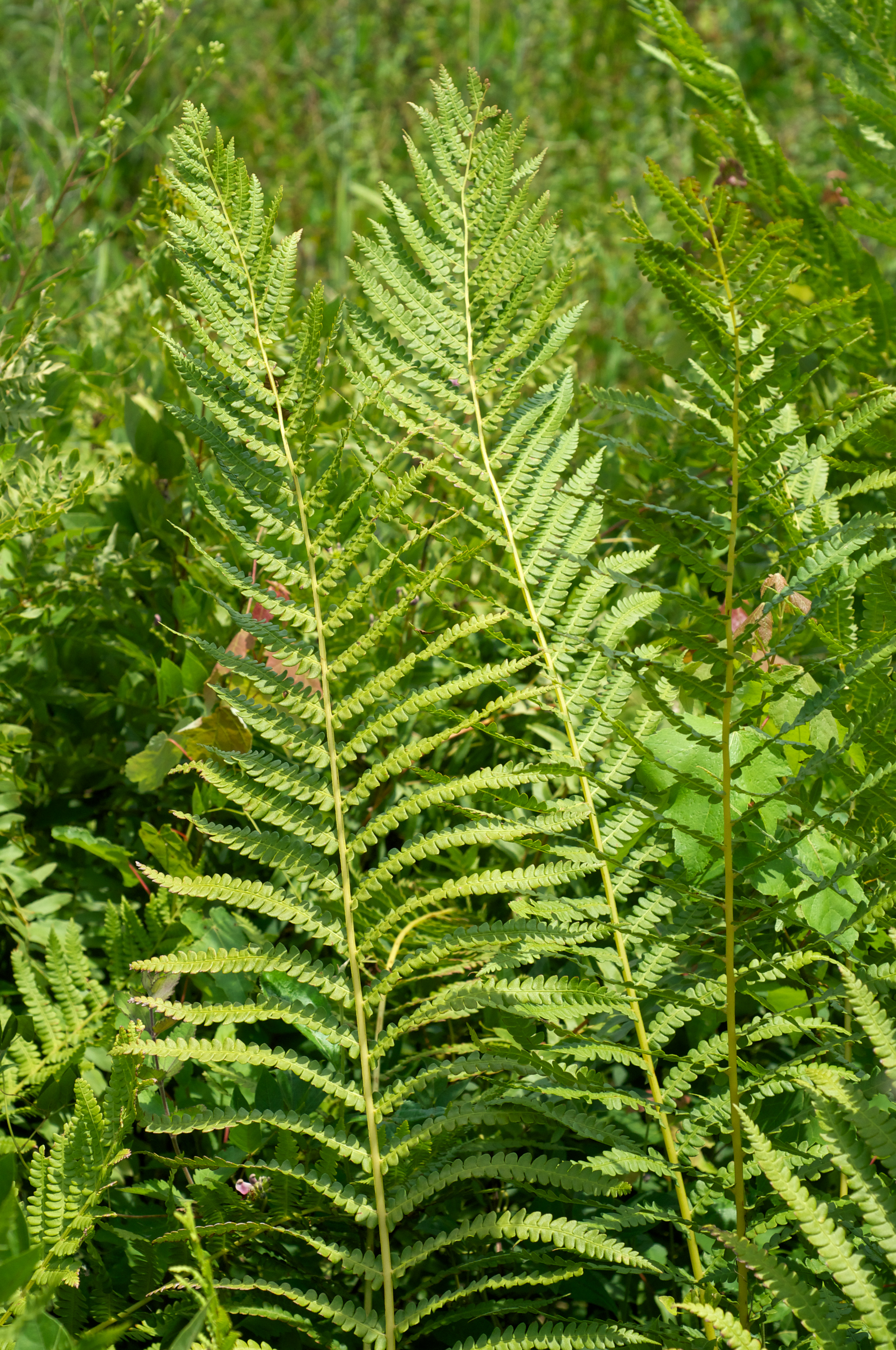
Osmundastrum cinnamomeum
Topographic Map of W Bingham Rd, Little Rock, AR, USA
Find elevation by address:

Places near W Bingham Rd, Little Rock, AR, USA:
Arch St, Little Rock, AR, USA
Banner Township
AR-, Little Rock, AR, USA
Salem Cemetery
Arch St, Little Rock, AR, USA
East End
Hilaro Springs Rd, Little Rock, AR, USA
AR-, Little Rock, AR, USA
7200 I-30
10 Fawns Point Cove, Little Rock, AR, USA
7926 E Sardis Rd
19 Rugby Dr, Little Rock, AR, USA
Wakefield
Granite Mountain
15-11
Shannon Hills
10717 Pineview Dr
Tall Pine Dr, Mabelvale, AR, USA
Otter Township
South Brookwood
Recent Searches:
- Elevation of Vista Blvd, Sparks, NV, USA
- Elevation of 15th Ave SE, St. Petersburg, FL, USA
- Elevation of Beall Road, Beall Rd, Florida, USA
- Elevation of Leguwa, Nepal
- Elevation of County Rd, Enterprise, AL, USA
- Elevation of Kolchuginsky District, Vladimir Oblast, Russia
- Elevation of Shustino, Vladimir Oblast, Russia
- Elevation of Lampiasi St, Sarasota, FL, USA
- Elevation of Elwyn Dr, Roanoke Rapids, NC, USA
- Elevation of Congressional Dr, Stevensville, MD, USA