Elevation of Wakefield, VA, USA
Location: United States > Virginia > Sussex County > Wakefield >
Longitude: -76.989683
Latitude: 36.9682064
Elevation: 30m / 98feet
Barometric Pressure: 101KPa
Elevation Map:
Satellite Map:
Related Photos:

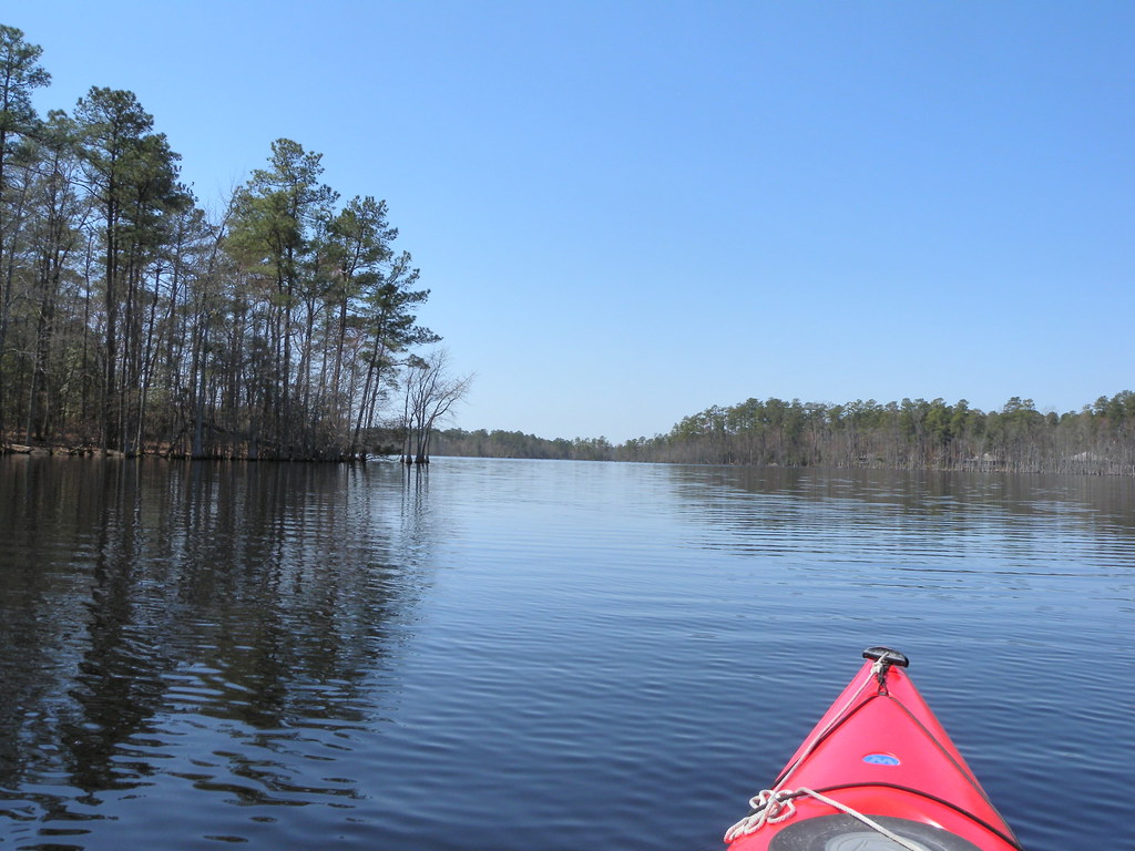
Silo View
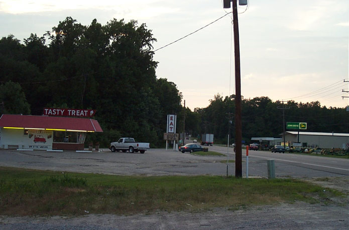
Tasty Treat of Wakefield
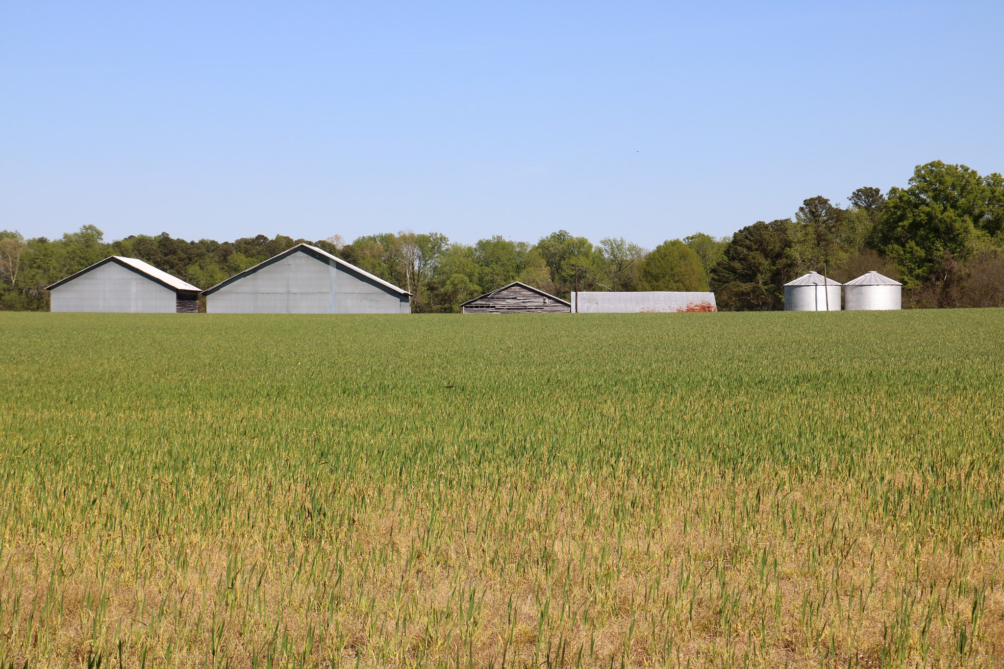
Peanut Farm

Elberon Fire Tower

Elberon Fire Tower

Elberon Fire Tower

Elberon Fire Tower

Elberon Fire Tower

Elberon Fire Tower
DSCN3644.JPG
Topographic Map of Wakefield, VA, USA
Find elevation by address:

Places near Wakefield, VA, USA:
10130 E High St
White Marsh Rd, Wakefield, VA, USA
Wakefield
Sadler Road
Rolfe Hwy, Dendron, VA, USA
Dendron
Dendron
35349 General Mahone Blvd
Main St, Ivor, VA, USA
Ivor
Berlin And Ivor
Waverly
Carsley
Sedley, VA, USA
Martin Luther King Hwy, Waverly, VA, USA
15051 Appleton Rd
Martin Luther King Hwy, Waverly, VA, USA
Loafers Oak Rd, Dendron, VA, USA
State Rte, Waverly, VA, USA
Rolfe Hwy, Dendron, VA, USA
Recent Searches:
- Elevation of 24 Oakland Rd #, Scotland, ON N0E 1R0, Canada
- Elevation of Deep Gap Farm Rd E, Mill Spring, NC, USA
- Elevation of Dog Leg Dr, Minden, NV, USA
- Elevation of Dog Leg Dr, Minden, NV, USA
- Elevation of Kambingan Sa Pansol Atbp., Purok 7 Pansol, Candaba, Pampanga, Philippines
- Elevation of Pinewood Dr, New Bern, NC, USA
- Elevation of Mountain View, CA, USA
- Elevation of Foligno, Province of Perugia, Italy
- Elevation of Blauwestad, Netherlands
- Elevation of Bella Terra Blvd, Estero, FL, USA