Elevation of Carsley, VA, USA
Location: United States > Virginia > Surry County >
Longitude: -76.987347
Latitude: 37.110343
Elevation: 29m / 95feet
Barometric Pressure: 101KPa
Elevation Map:
Satellite Map:
Related Photos:
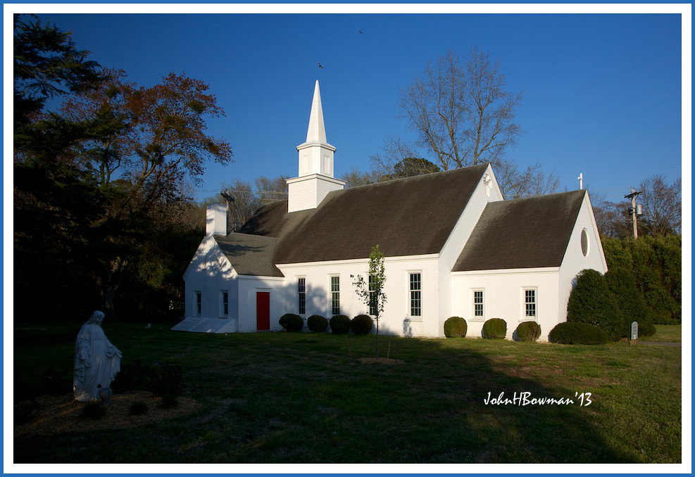
Shrine of the Infant Jesus of Prague
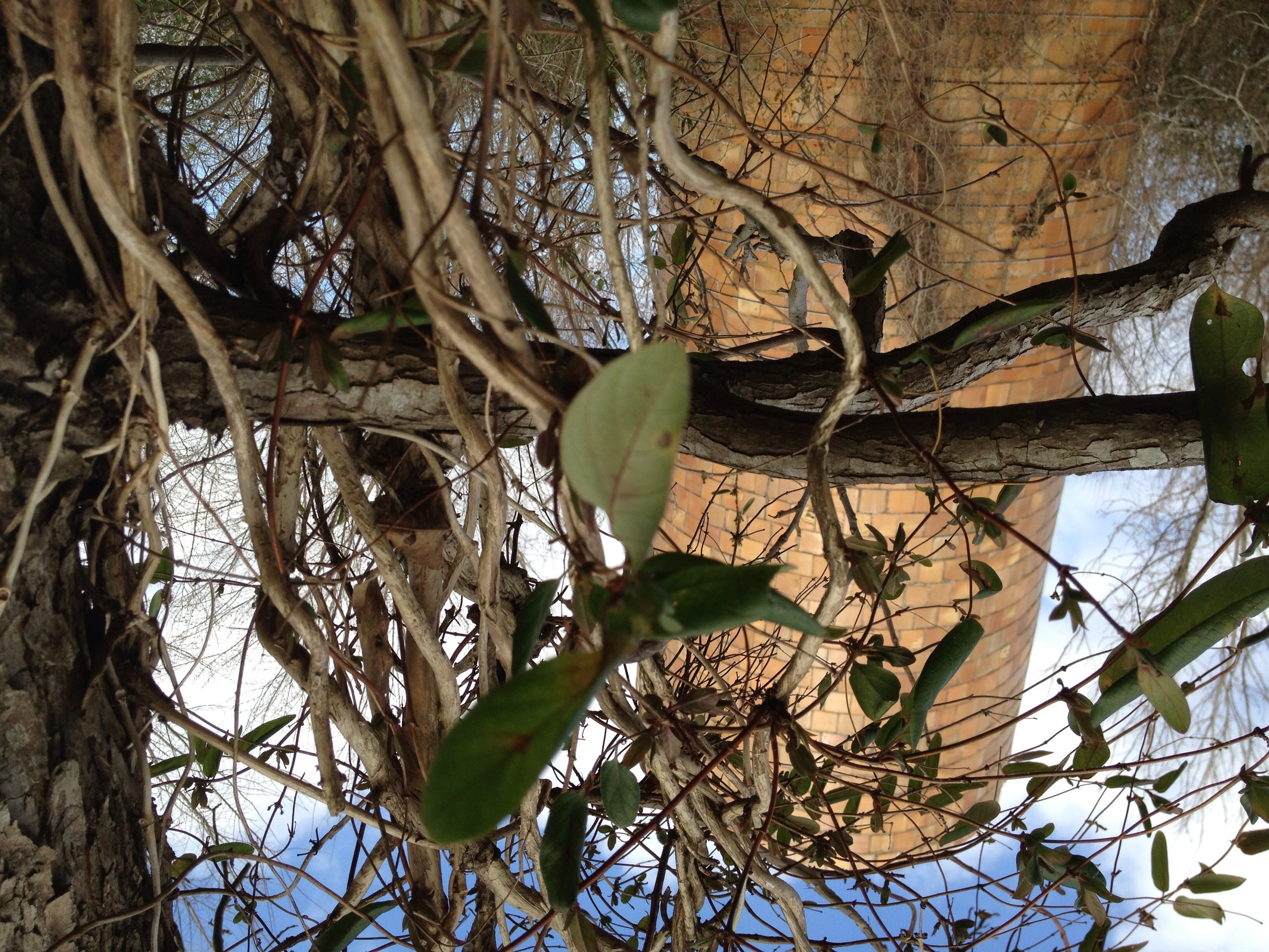
Silo View
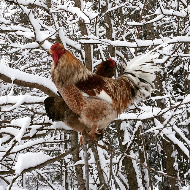
Silly camp chickens prefer hanging out in the trees instead of the coop. They do have a better view from there.
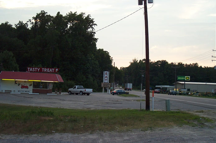
Tasty Treat of Wakefield
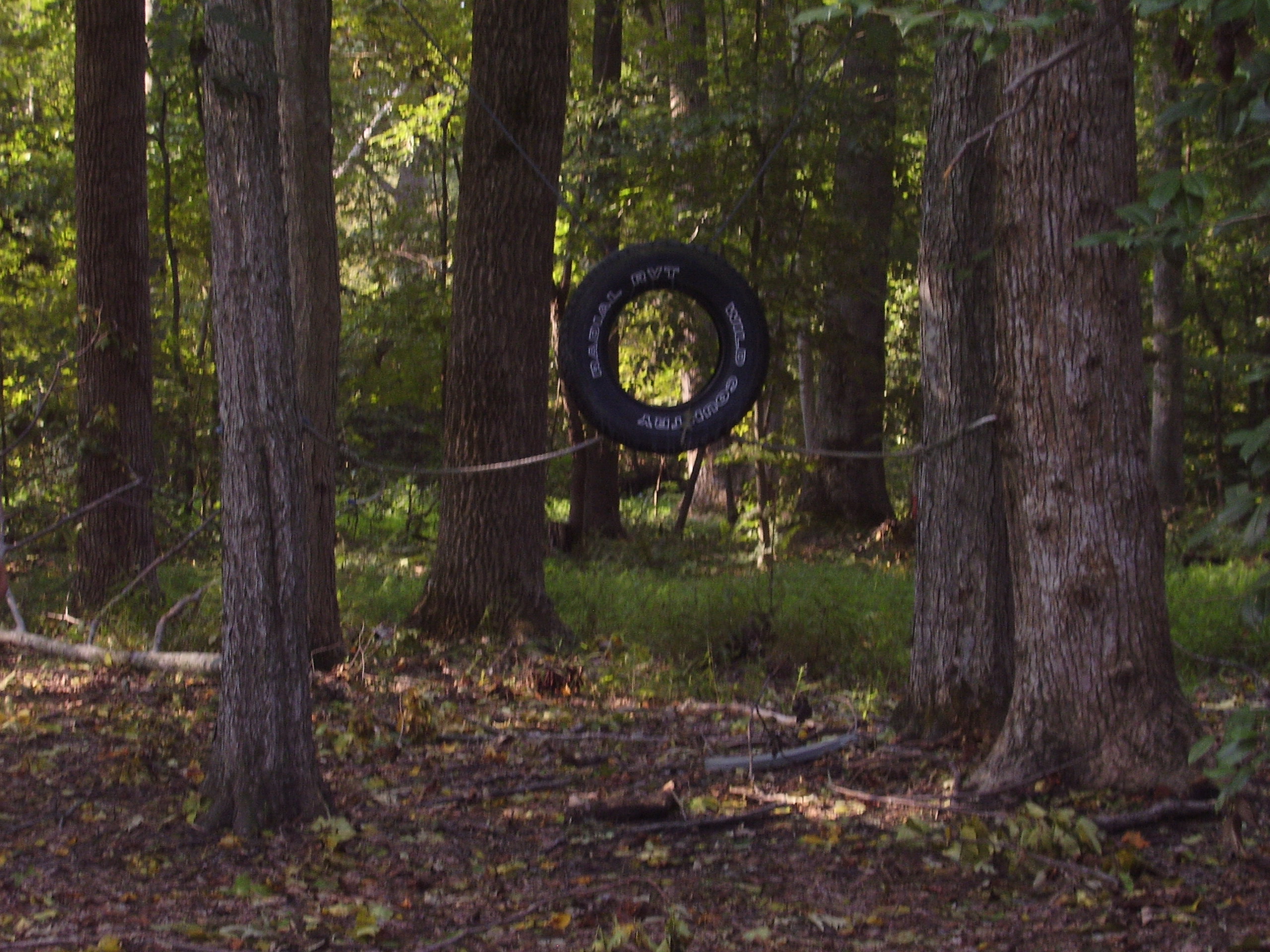
Pictures-091006 011
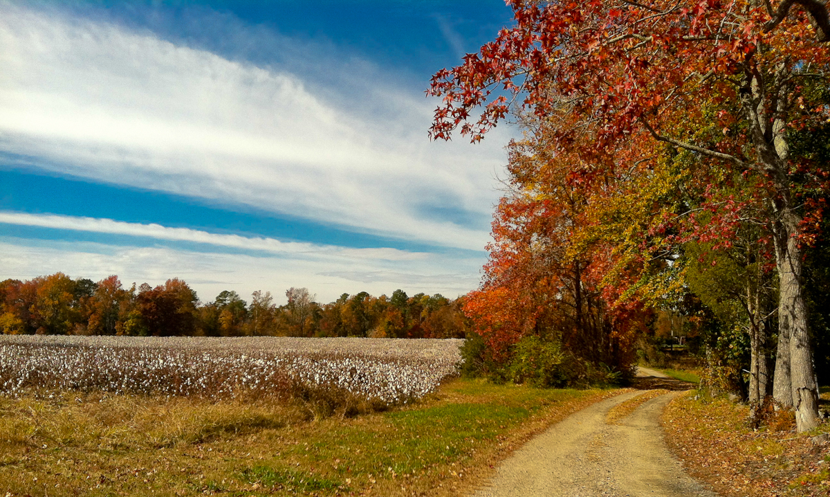
Cotton Field, Dirt Path, Surry

Clouds over Sunken Meadow Pond

Reflections in a pond - a world upside down...

Sunken Meadow Pond
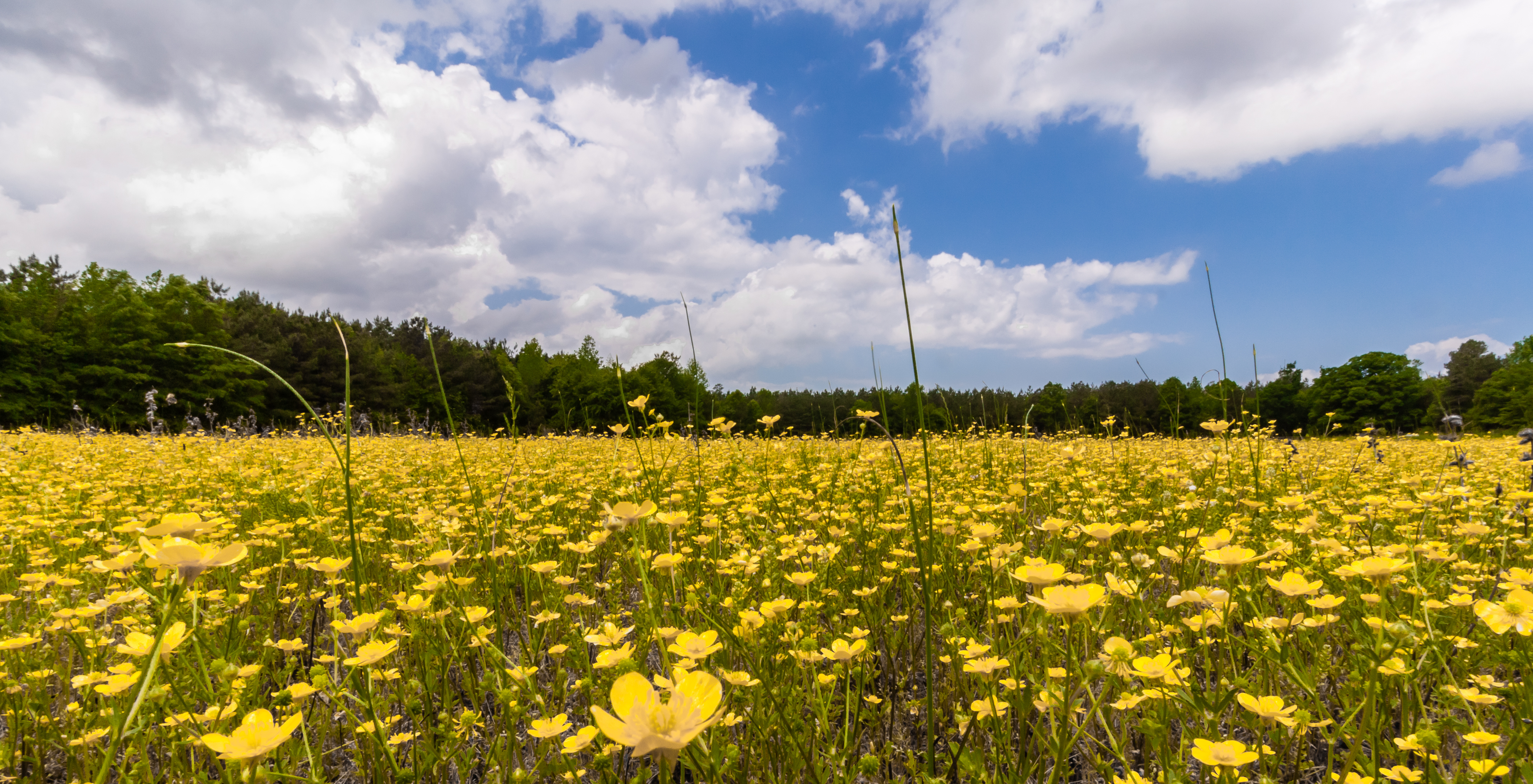
20150510-IMG_3777
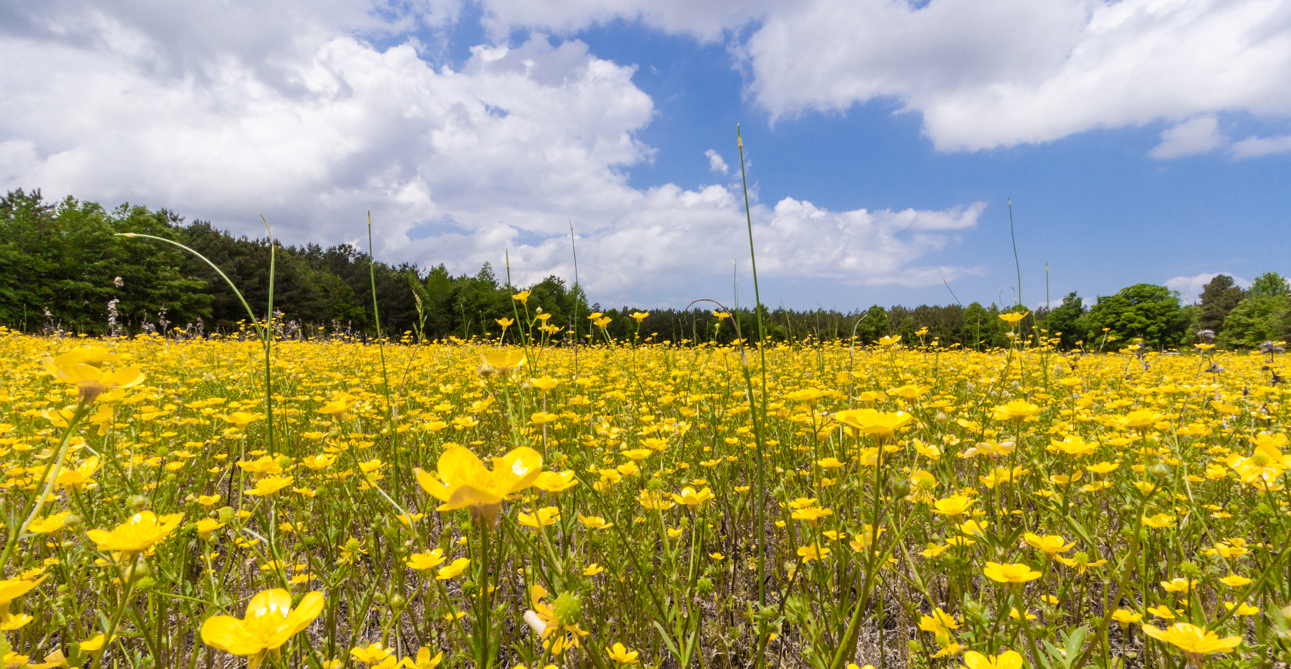
20150510-IMG_3779
Topographic Map of Carsley, VA, USA
Find elevation by address:

Places in Carsley, VA, USA:
Martin Luther King Hwy, Waverly, VA, USA
Loafers Oak Rd, Dendron, VA, USA
Martin Luther King Hwy, Waverly, VA, USA
Laurel Springs Rd, Spring Grove, VA, USA
Places near Carsley, VA, USA:
Spring Grove
Claremont
Loafers Oak Rd, Dendron, VA, USA
Surry County
Bailey Ave, Claremont, VA, USA
Guilford Heights Dr, Spring Grove, VA, USA
Sunken Meadow Dam
Rolfe Hwy, Dendron, VA, USA
Renwood Farms Inc
Surry
1569 Harbor Rd
Two Rivers Country Club
1400 Two Rivers Rd
Harbor Road
1736 Founders Hill S
1816 John Hancock
2092 Hornes Lake Rd
Two Rivers Road
Surry
Whittaker Island Road
Recent Searches:
- Elevation of Corso Fratelli Cairoli, 35, Macerata MC, Italy
- Elevation of Tallevast Rd, Sarasota, FL, USA
- Elevation of 4th St E, Sonoma, CA, USA
- Elevation of Black Hollow Rd, Pennsdale, PA, USA
- Elevation of Oakland Ave, Williamsport, PA, USA
- Elevation of Pedrógão Grande, Portugal
- Elevation of Klee Dr, Martinsburg, WV, USA
- Elevation of Via Roma, Pieranica CR, Italy
- Elevation of Tavkvetili Mountain, Georgia
- Elevation of Hartfords Bluff Cir, Mt Pleasant, SC, USA