Elevation of John Hancock, Williamsburg, VA, USA
Location: United States > Virginia > James City County > Berkeley >
Longitude: -76.857344
Latitude: 37.2498117
Elevation: 10m / 33feet
Barometric Pressure: 101KPa
Elevation Map:
Satellite Map:
Related Photos:

Momentary Color

Historic puzzle

Glorious Spring
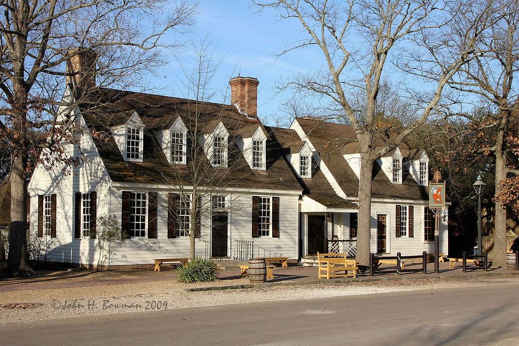
Chowning's Tavern 2

2019 Colonial Williamsburg Christmas

2019 Colonial Williamsburg Christmas

there's a light at the end of this tunnel... for you!
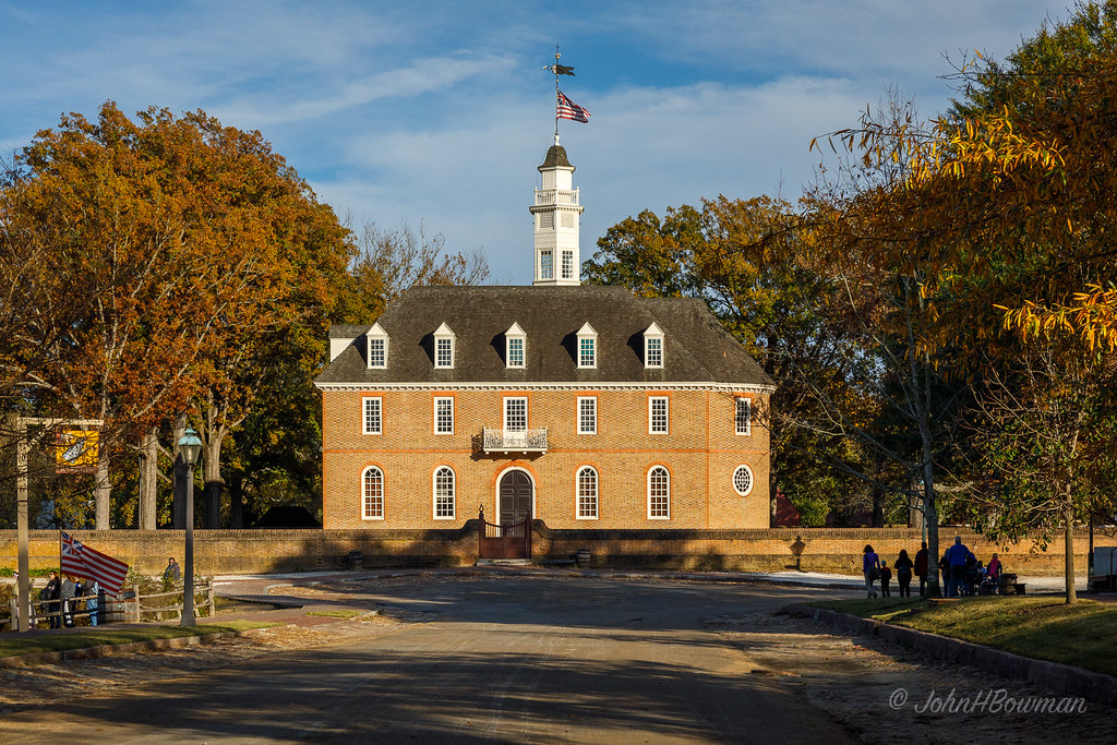
Warm Sunlight on Historic Capitol (HFF)

Look to the Future - Happy New Year
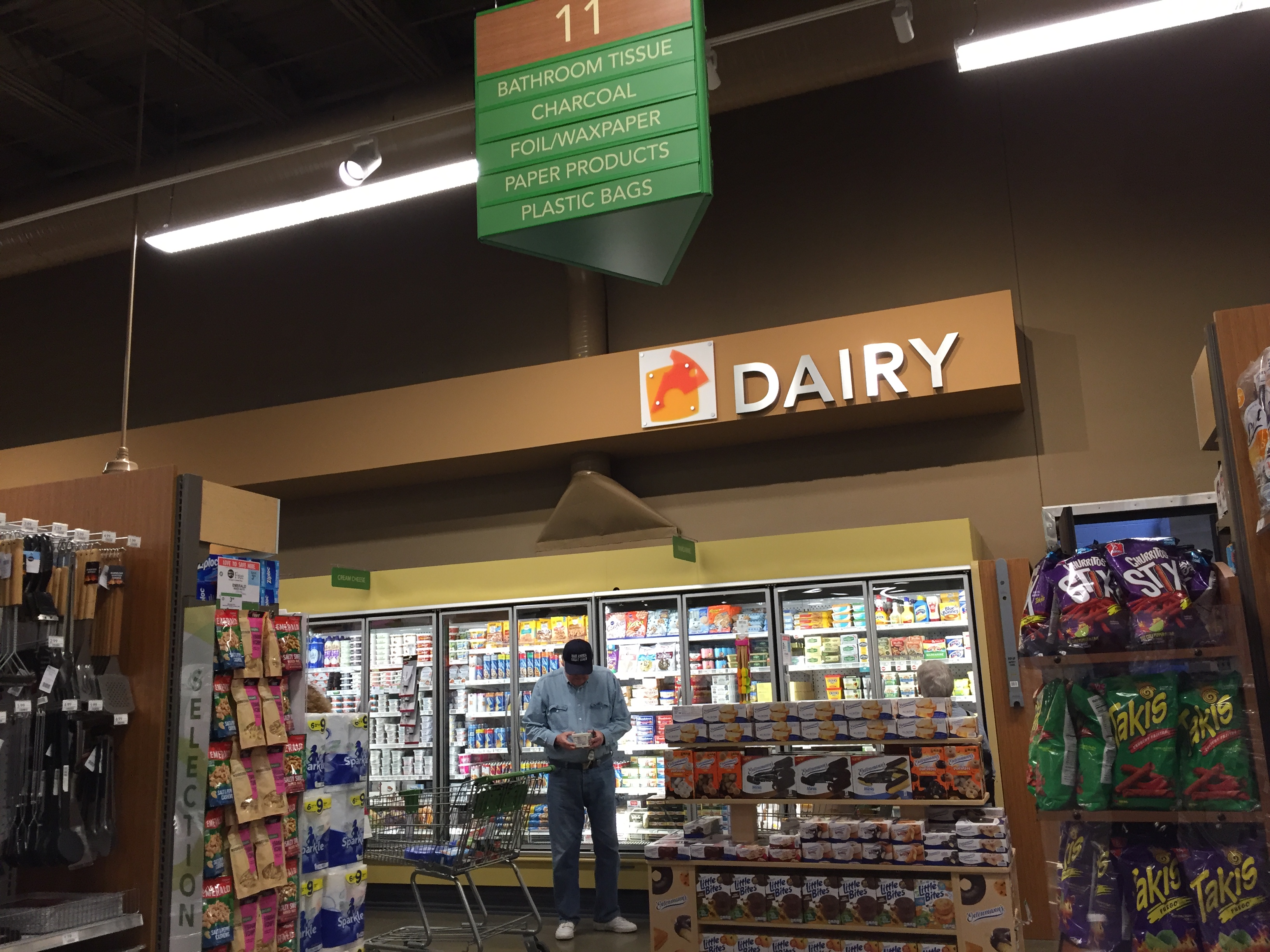
Publix interior

Governor's Palace, Colonial Williamsburg

M Dubois Grocer

November Afternoon, Williamsburg

this is NOT a MAP

General view, Bruton Parish cemetery, Colonial Williamsburg, Virginia

street photography... williamsburg, virginia

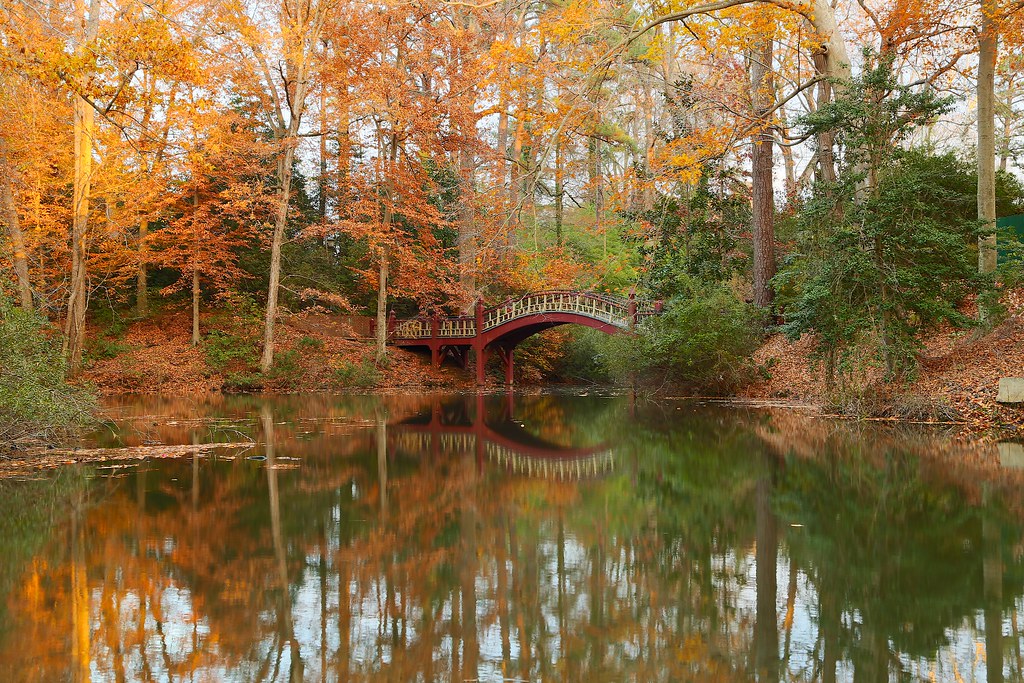
Sunsetting on History

anyone.... can anyone offer a hand to her ;-)

@45 mph into a tunnel... colonial parkway virginia

Bald Eagle

let's take a break... care for some ice cream!

Early Spring Morning

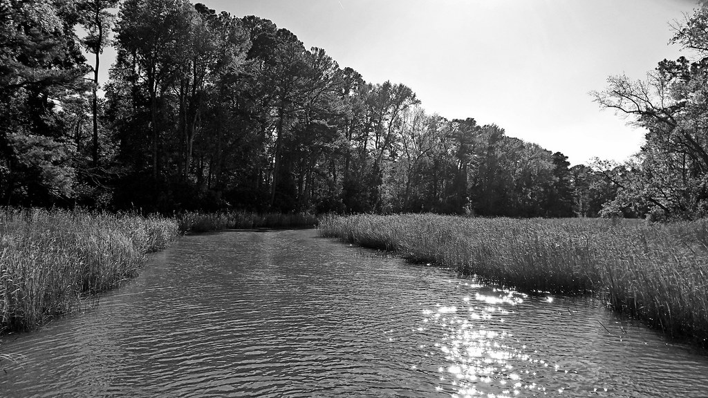
Morris Creek

IMG_4333 8X10 11-27-15 (Custom)

Lady Virginia

Colonial National Historic Park

View from Our Table @ The Surry Seafood Company - Surry, VA

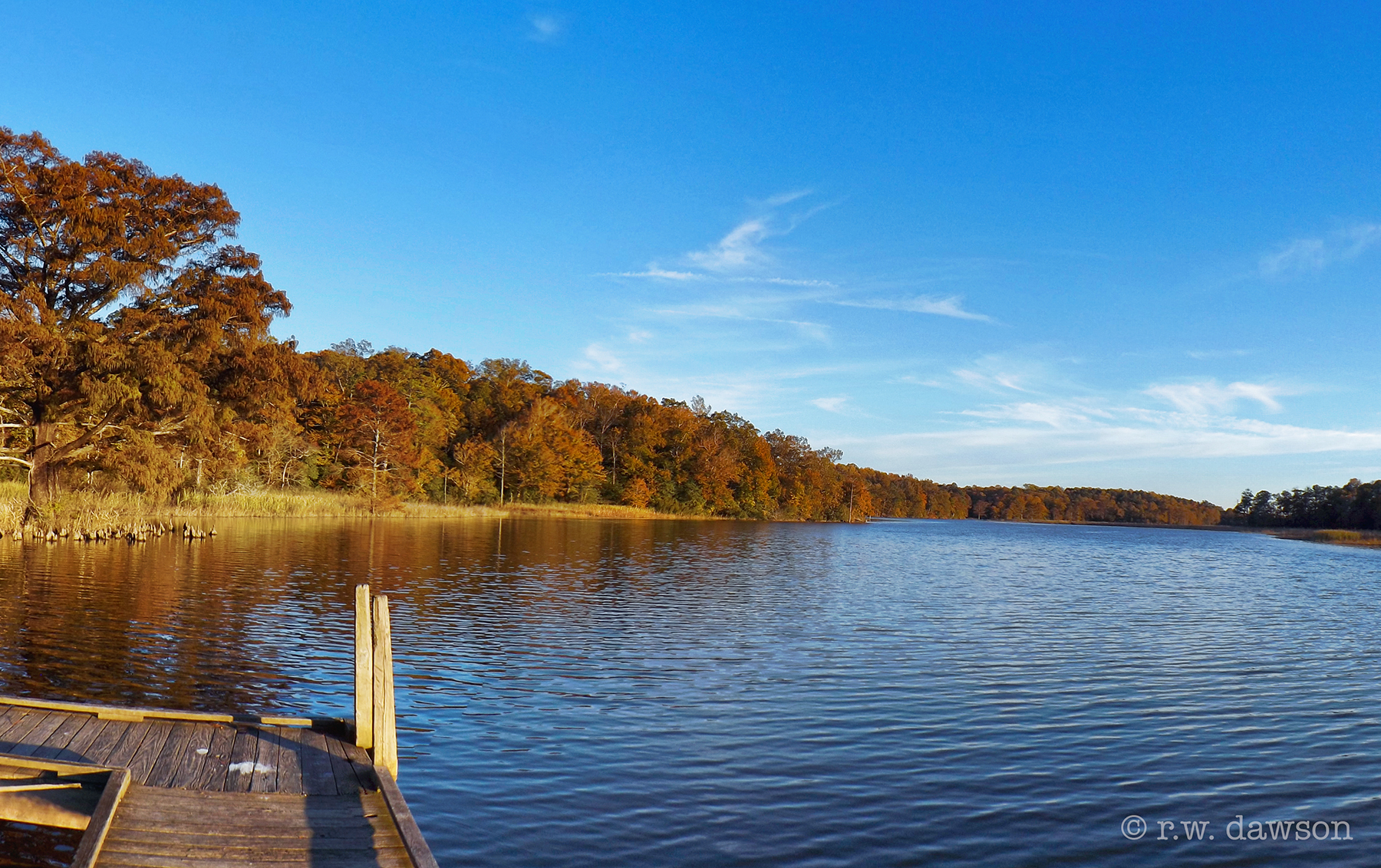
Lake Matoaka (Explore)

Surry Power Station (Nuclear) c. 1973 - Surry, VA
Morris Creek
The Crim Dell Bridge

Barrows Creek in Charles City County, Va.

Virginia Snake Rail Fence in Williamsburg
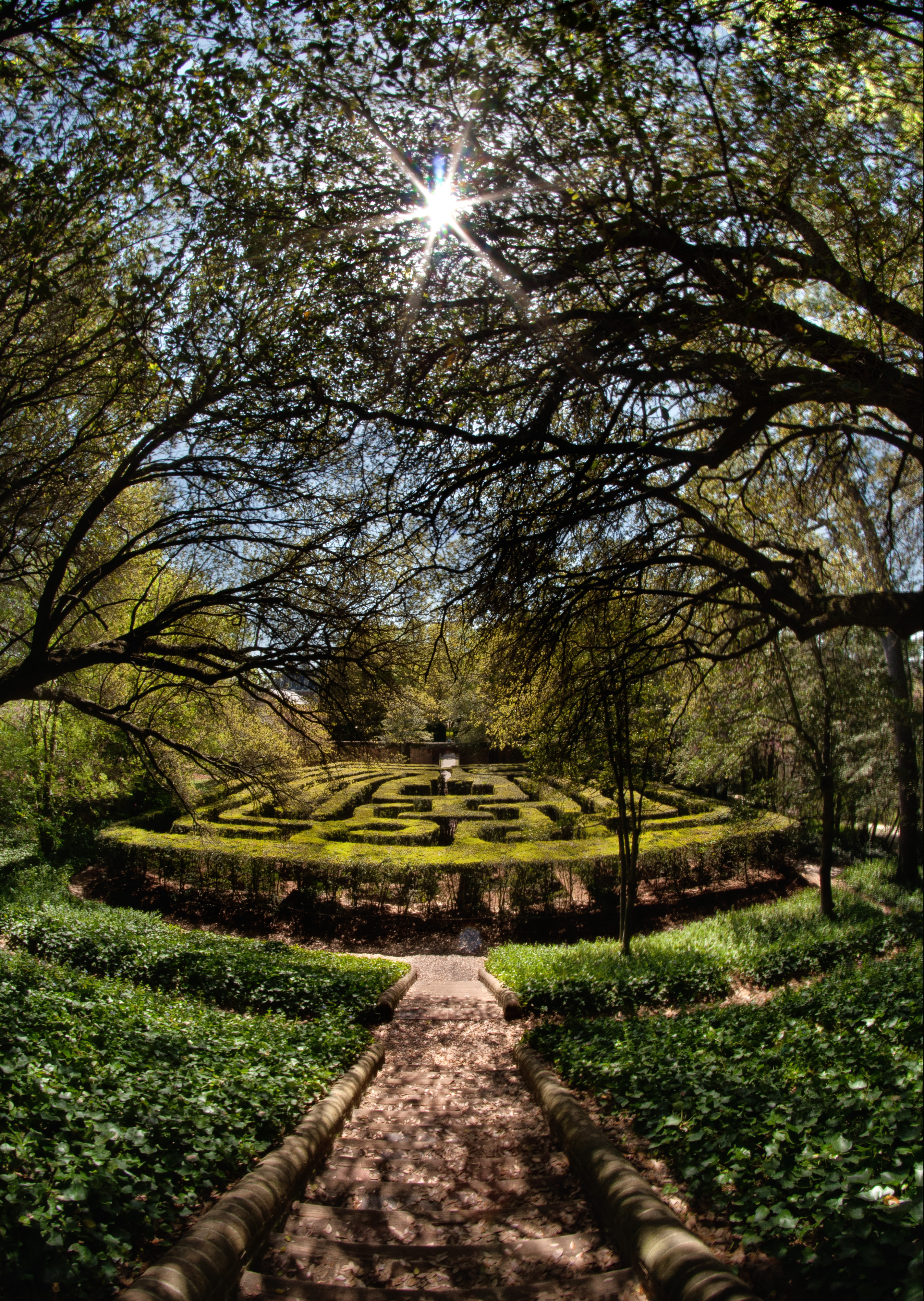
a'MAZE'ing | Colonial Williamsburg, Virginia
Marsh at Forest's Edge

31 | 2010

James River Beach along Colonial Parkway - Jamestown VA

Sunset at Jamestown, Virginia

Great Blue Skimmer

Sunset at Jamestown, Virginia

Reaching for James River

Great Blue Heron
Topographic Map of John Hancock, Williamsburg, VA, USA
Find elevation by address:

Places near John Hancock, Williamsburg, VA, USA:
1736 Founders Hill S
Harbor Road
Two Rivers Road
1569 Harbor Rd
Two Rivers Country Club
1400 Two Rivers Rd
2092 Hornes Lake Rd
Whittaker Island Road
2556 John Tyler Hwy
3306 Chestnut Hill Ct
1704 Duntrune Glen
Deerfield Ct, Williamsburg, VA, USA
3751 John Tyler Hwy
Guilford Heights Dr, Spring Grove, VA, USA
2840 Greate Way
4700 Yeardley Loop
4033 River Moor
Sunken Meadow Dam
2550 Robert Fenton Rd
4332 Landfall Dr
Recent Searches:
- Elevation of 6 Rue Jules Ferry, Beausoleil, France
- Elevation of Sattva Horizon, 4JC6+G9P, Vinayak Nagar, Kattigenahalli, Bengaluru, Karnataka, India
- Elevation of Great Brook Sports, Gold Star Hwy, Groton, CT, USA
- Elevation of 10 Mountain Laurels Dr, Nashua, NH, USA
- Elevation of 16 Gilboa Ln, Nashua, NH, USA
- Elevation of Laurel Rd, Townsend, TN, USA
- Elevation of 3 Nestling Wood Dr, Long Valley, NJ, USA
- Elevation of Ilungu, Tanzania
- Elevation of Yellow Springs Road, Yellow Springs Rd, Chester Springs, PA, USA
- Elevation of Rēzekne Municipality, Latvia