Elevation of Martin Luther King Hwy, Waverly, VA, USA
Location: United States > Virginia > Surry County > Carsley >
Longitude: -77.023791
Latitude: 37.110495
Elevation: 35m / 115feet
Barometric Pressure: 101KPa
Elevation Map:
Satellite Map:
Related Photos:
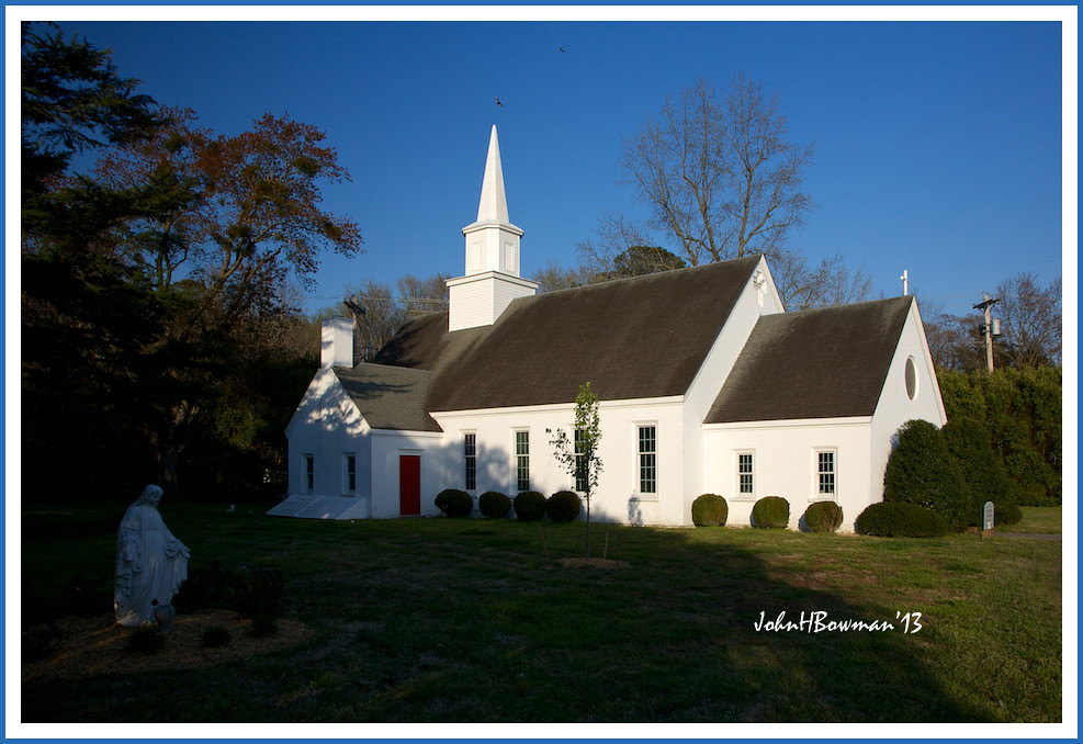
Shrine of the Infant Jesus of Prague
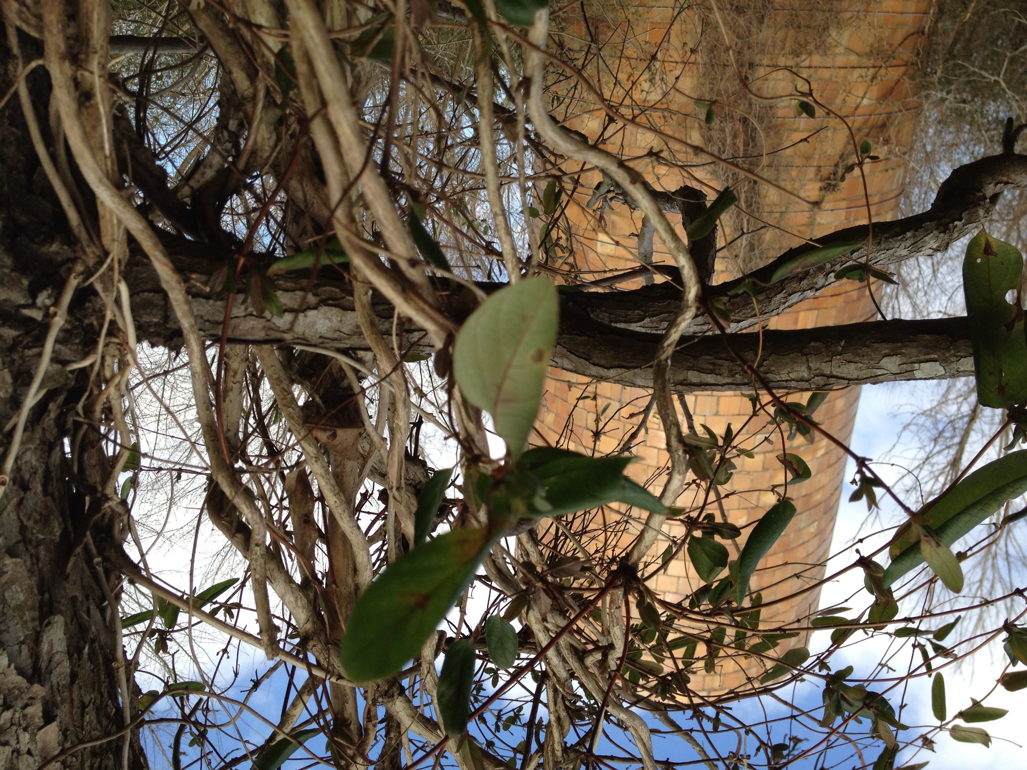
Silo View
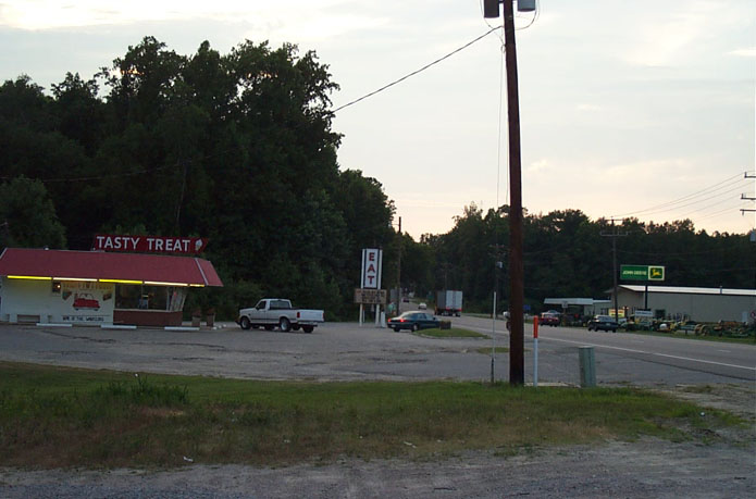
Tasty Treat of Wakefield
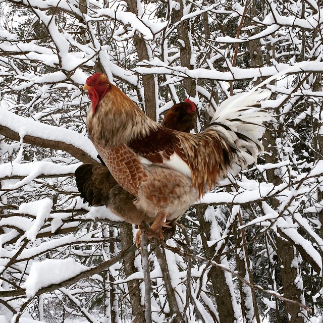
Silly camp chickens prefer hanging out in the trees instead of the coop. They do have a better view from there.
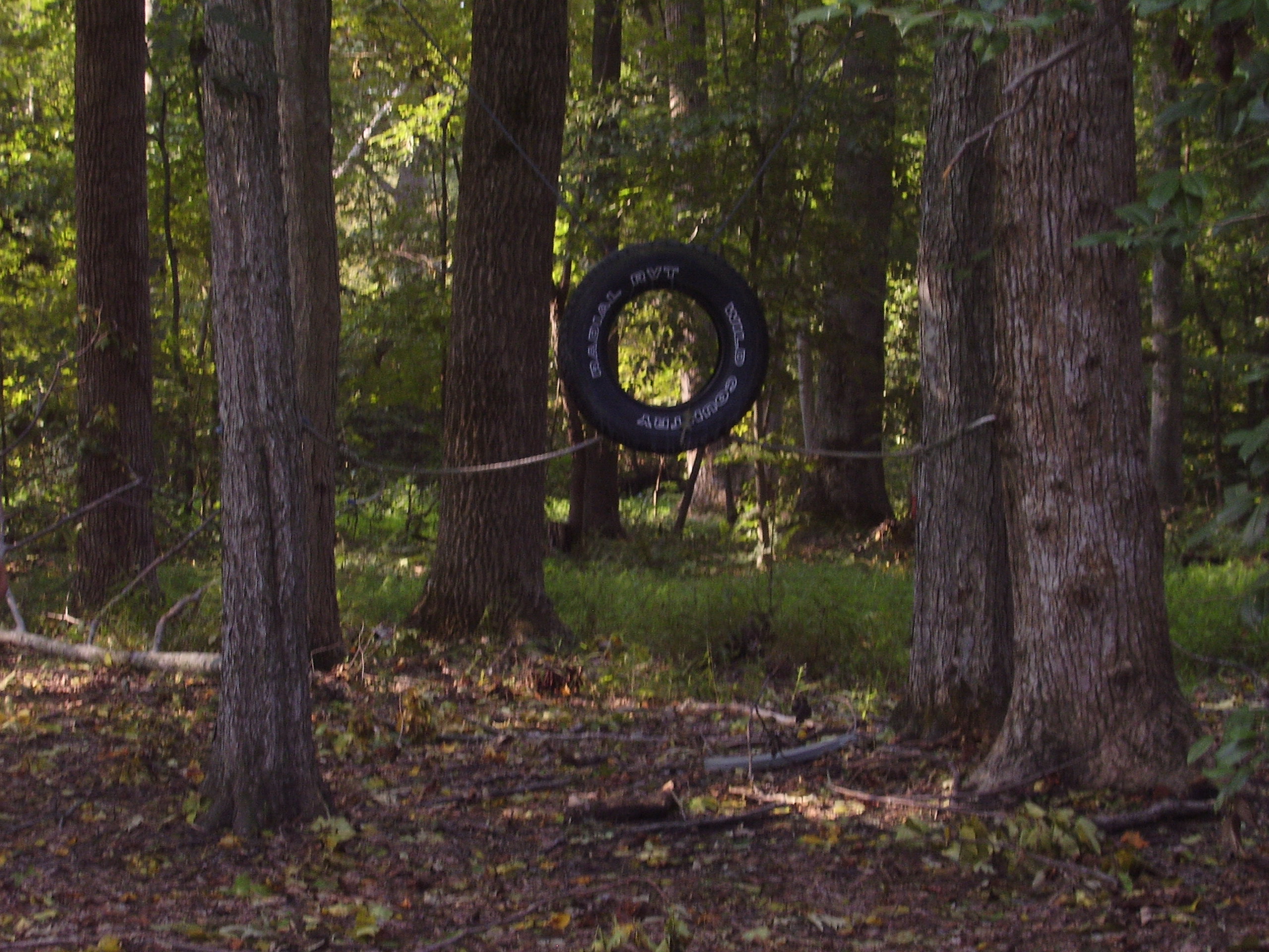
Pictures-091006 011

Clouds over Sunken Meadow Pond

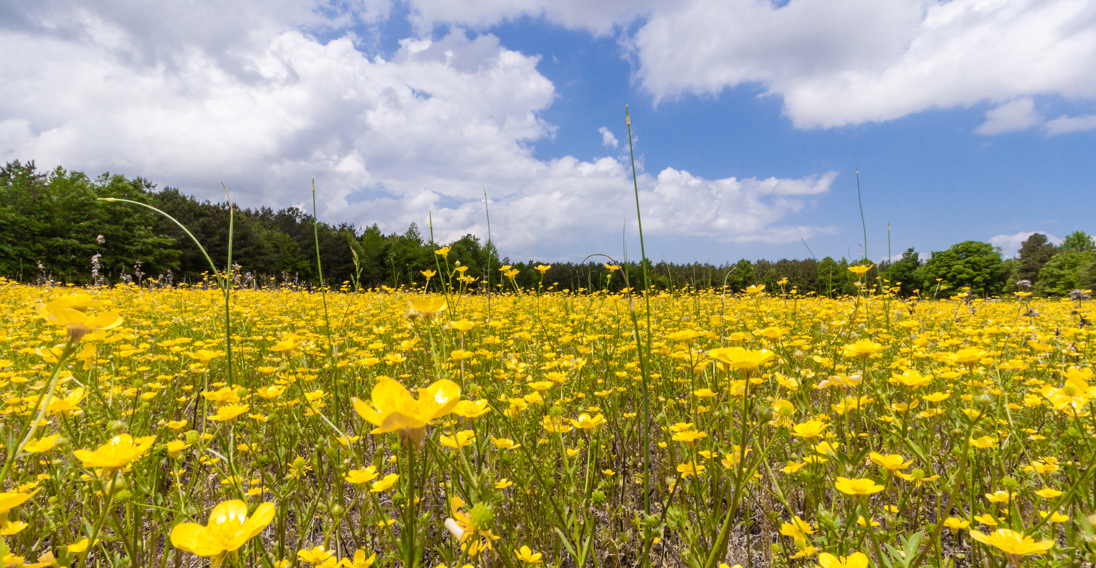
Piney Grove Preserve

Reflections in a pond - a world upside down...

Sunken Meadow Pond
20150510-IMG_3779
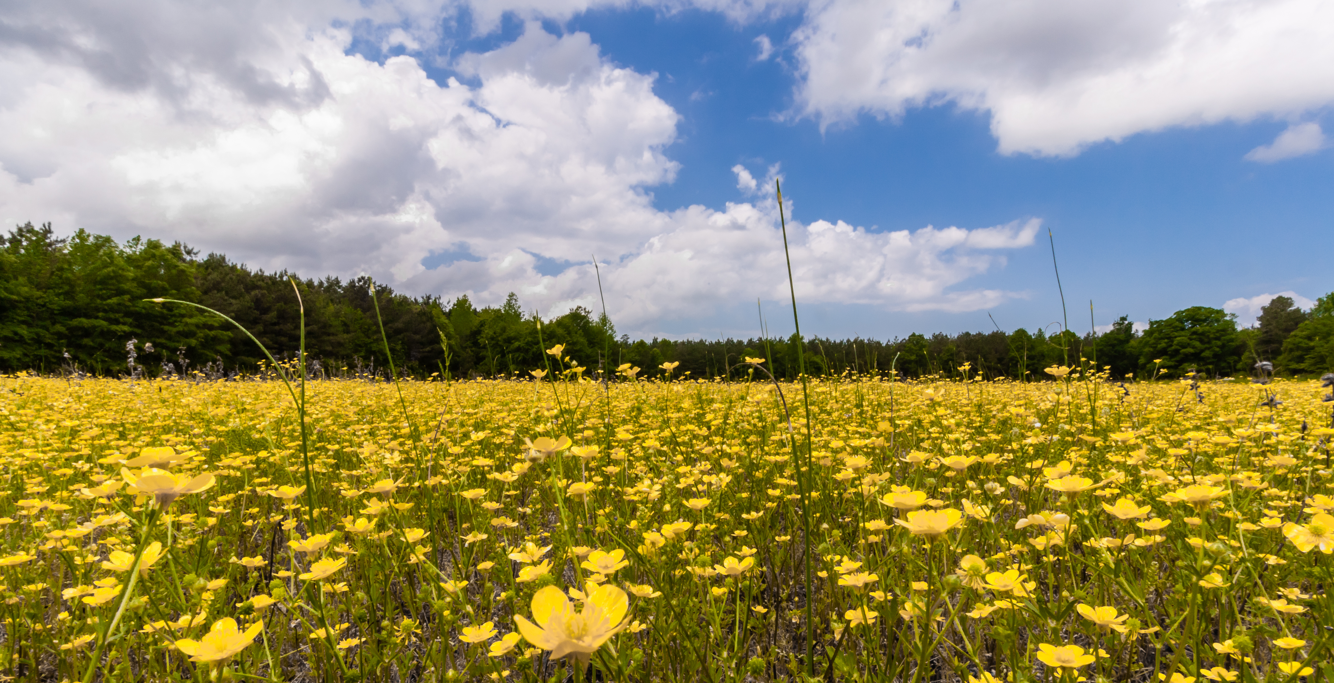
20150510-IMG_3777
Topographic Map of Martin Luther King Hwy, Waverly, VA, USA
Find elevation by address:

Places near Martin Luther King Hwy, Waverly, VA, USA:
Martin Luther King Hwy, Waverly, VA, USA
Laurel Springs Rd, Spring Grove, VA, USA
Low Point Millpond
Lone Oak Mill Rd, Disputanta, VA, USA
Pole Run Rd, Disputanta, VA, USA
11470 County Dr
Blackwater
Disputanta
10910 Centennial Rd
Hollywood Dr, Disputanta, VA, USA
Springfield Drive
Prince George County
Prince George County
Prince George County
Prince George County
Prince George County
Prince George County
Prince George County
Prince George County
Prince George County
Recent Searches:
- Elevation of Elwyn Dr, Roanoke Rapids, NC, USA
- Elevation of Congressional Dr, Stevensville, MD, USA
- Elevation of Bellview Rd, McLean, VA, USA
- Elevation of Stage Island Rd, Chatham, MA, USA
- Elevation of Shibuya Scramble Crossing, 21 Udagawacho, Shibuya City, Tokyo -, Japan
- Elevation of Jadagoniai, Kaunas District Municipality, Lithuania
- Elevation of Pagonija rock, Kranto 7-oji g. 8"N, Kaunas, Lithuania
- Elevation of Co Rd 87, Jamestown, CO, USA
- Elevation of Tenjo, Cundinamarca, Colombia
- Elevation of Côte-des-Neiges, Montreal, QC H4A 3J6, Canada