Elevation of County Dr, Disputanta, VA, USA
Location: United States > Virginia > Prince George County > Templeton > Disputanta >
Longitude: -77.200970
Latitude: 37.1094849
Elevation: 37m / 121feet
Barometric Pressure: 101KPa
Elevation Map:
Satellite Map:
Related Photos:

2013 wrap up. And friend figbarf/banner

Silo View

DSCF3461

September Weekend
September Weekend

September Weekend

September Weekend

September Weekend

Neowise Over Wakefield

citylocal 101-Free Business Directory

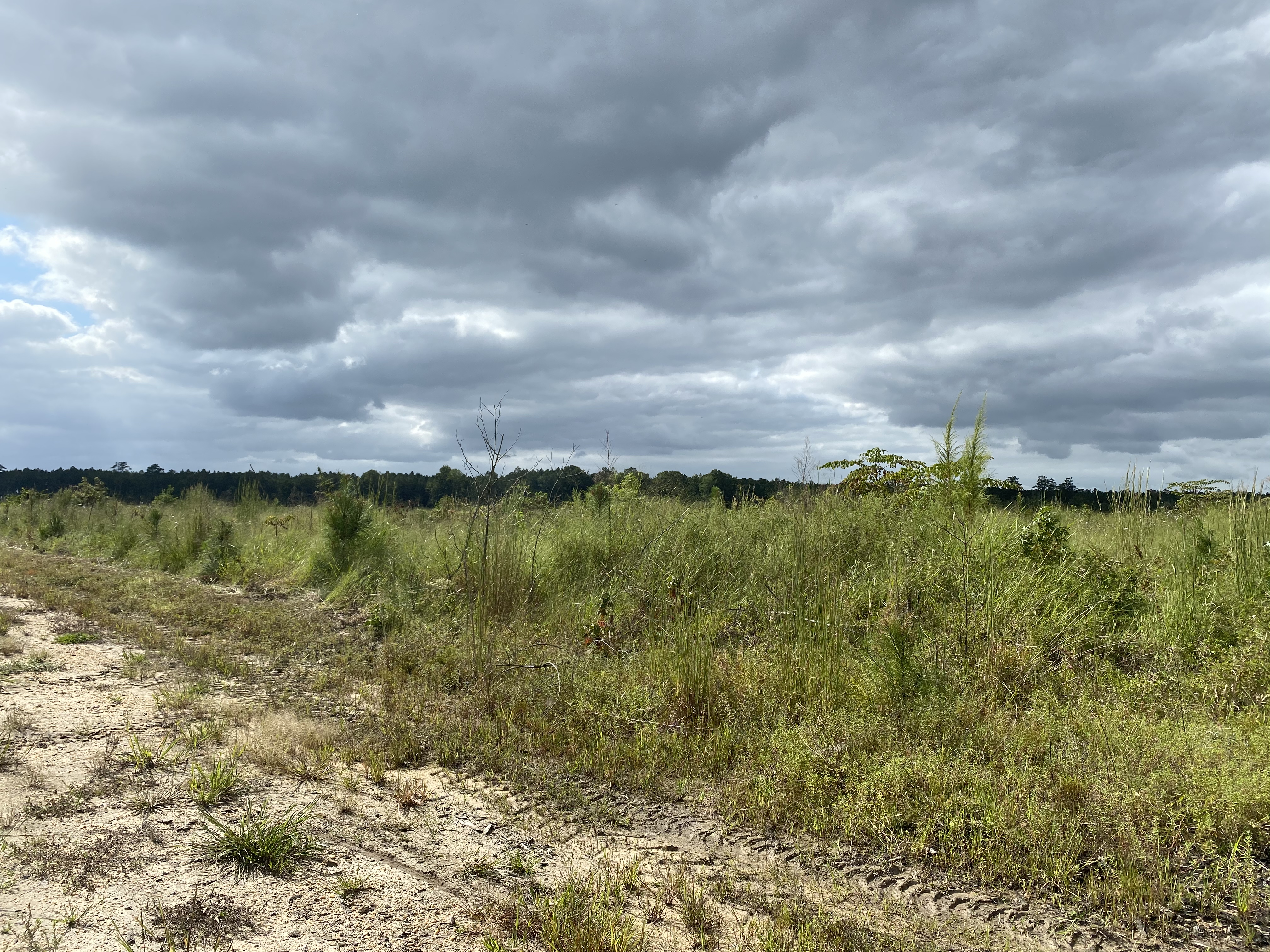
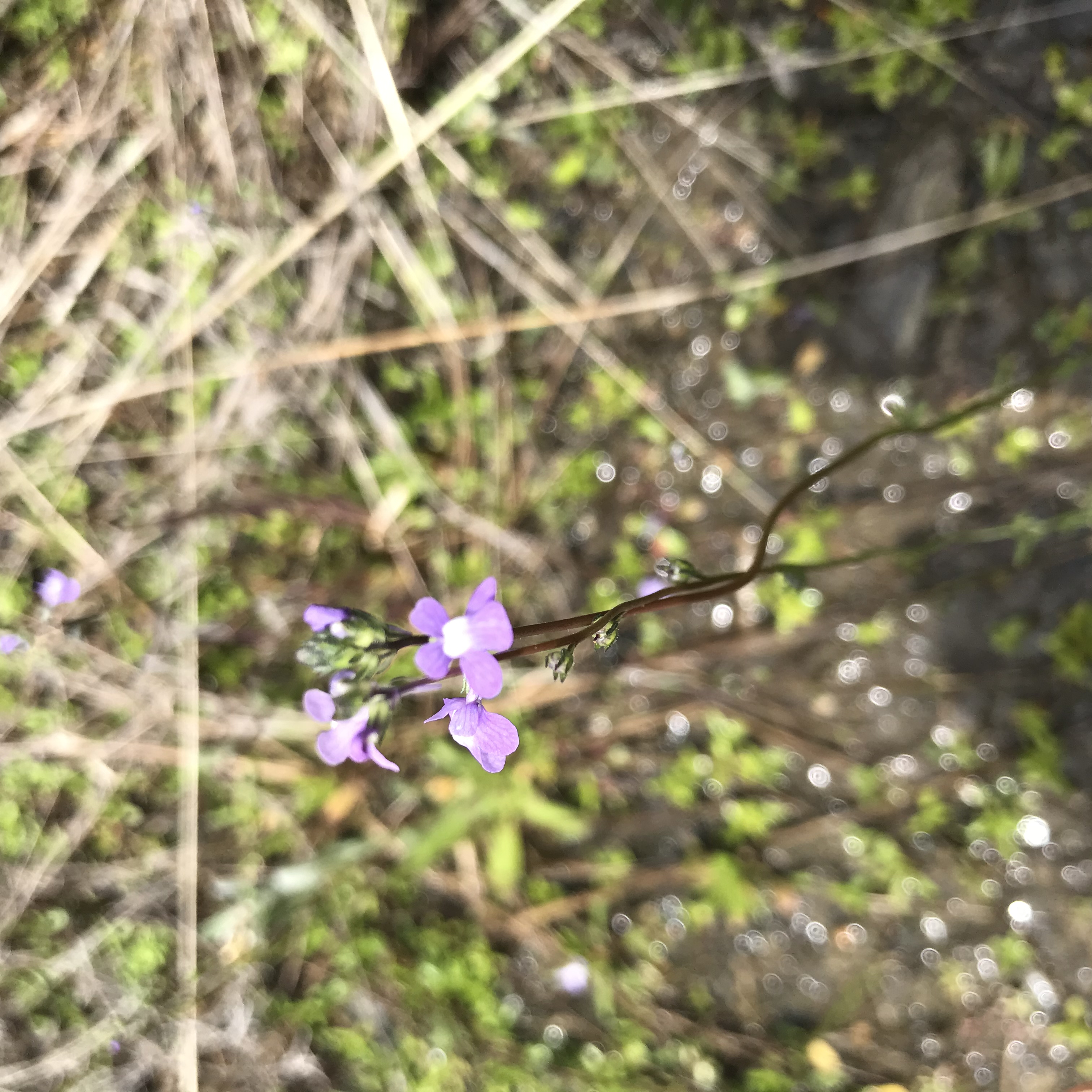
Carson, Rowanty Creek, Pigeon Swamp and the Assamoosick Swamp

Carson, Rowanty Creek, Pigeon Swamp and the Assamoosick Swamp

Carson, Rowanty Creek, Pigeon Swamp and the Assamoosick Swamp

Carson, Rowanty Creek, Pigeon Swamp and the Assamoosick Swamp

Carson, Rowanty Creek, Pigeon Swamp and the Assamoosick Swamp

Carson, Rowanty Creek, Pigeon Swamp and the Assamoosick Swamp

Carson, Rowanty Creek, Pigeon Swamp and the Assamoosick Swamp

Carson, Rowanty Creek, Pigeon Swamp and the Assamoosick Swamp

Carson, Rowanty Creek, Pigeon Swamp and the Assamoosick Swamp

Carson, Rowanty Creek, Pigeon Swamp and the Assamoosick Swamp

Carson, Rowanty Creek, Pigeon Swamp and the Assamoosick Swamp

Carson, Rowanty Creek, Pigeon Swamp and the Assamoosick Swamp

Carson, Rowanty Creek, Pigeon Swamp and the Assamoosick Swamp
Carson, Rowanty Creek, Pigeon Swamp and the Assamoosick Swamp
Topographic Map of County Dr, Disputanta, VA, USA
Find elevation by address:

Places near County Dr, Disputanta, VA, USA:
Disputanta
Springfield Drive
Templeton
Prince George County
Prince George County
Prince George County
Prince George County
Prince George County
Prince George County
Prince George County
Prince George County
Prince George County
Prince George County
Prince George County
Prince George County
Prince George County
Prince George County
Prince George County
Prince George County
Prince George County
Recent Searches:
- Elevation of Elwyn Dr, Roanoke Rapids, NC, USA
- Elevation of Congressional Dr, Stevensville, MD, USA
- Elevation of Bellview Rd, McLean, VA, USA
- Elevation of Stage Island Rd, Chatham, MA, USA
- Elevation of Shibuya Scramble Crossing, 21 Udagawacho, Shibuya City, Tokyo -, Japan
- Elevation of Jadagoniai, Kaunas District Municipality, Lithuania
- Elevation of Pagonija rock, Kranto 7-oji g. 8"N, Kaunas, Lithuania
- Elevation of Co Rd 87, Jamestown, CO, USA
- Elevation of Tenjo, Cundinamarca, Colombia
- Elevation of Côte-des-Neiges, Montreal, QC H4A 3J6, Canada