Elevation of State Rte, Waverly, VA, USA
Location: United States > Virginia > Sussex County > Newville >
Longitude: -77.156119
Latitude: 36.9086556
Elevation: 30m / 98feet
Barometric Pressure: 101KPa
Elevation Map:
Satellite Map:
Related Photos:
Silo View
Sussex County

Piney Grove Preserve

Piney Grove Preserve

Nottoway River - Cary's Bridge Landing(1)
Chub Sandhill
Nottoway River (9)
DS2_5418-13
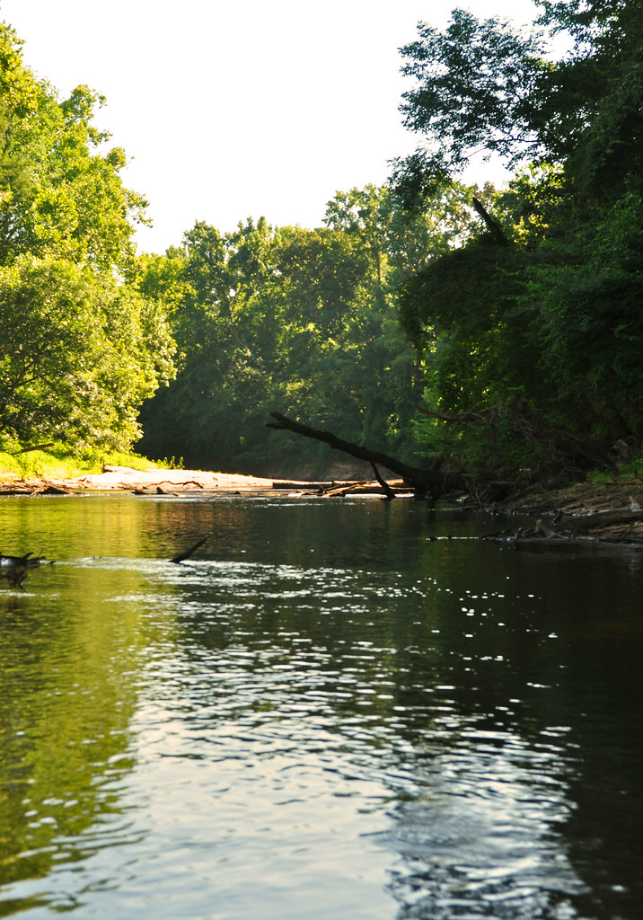
Nottoway River (11)
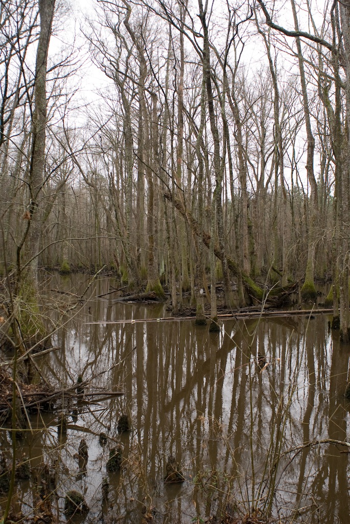
Assamoosic Swamp
Assamoosic Swamp
DSCN3644.JPG
Topographic Map of State Rte, Waverly, VA, USA
Find elevation by address:

Places near State Rte, Waverly, VA, USA:
Sussex County
Sussex Central High School
Newville
Sussex
Wakefield
Waverly
Yale
Courthouse
Sedley, VA, USA
Capron
Wakefield
10130 E High St
Springfield Drive
6268 Railroad Bed Rd
19810 Log Rd
11470 County Dr
Loving Union Road
Sadler Road
7979 Holdsworth Rd
7971 Holdsworth Rd
Recent Searches:
- Elevation map of Kabardino-Balkarian Republic, Russia
- Elevation of Tyrnyauz, Kabardino-Balkarian Republic, Russia
- Elevation of Sunset Dr, Hernando, MS, USA
- Elevation of Lake Rotoroa, Tasman, New Zealand
- Elevation of George St, New Bern, NC, USA
- Elevation of Cove Rd, Jasper, GA, USA
- Elevation of Cove Rd, Jasper, GA, USA
- Elevation of South Yankee Meadow Road, Forest Road, Paragonah, UT, USA
- Elevation of SW Elderview Dr, Sherwood, OR, USA
- Elevation of Hickory St, Greenville, NC, USA