Elevation of W Stage Coach Trail, Lawndale, NC, USA
Location: United States > North Carolina > Cleveland County > 8, Polkville >
Longitude: -81.586867
Latitude: 35.4146193
Elevation: 303m / 994feet
Barometric Pressure: 98KPa
Elevation Map:
Satellite Map:
Related Photos:

Plan #1220 - The Lisenby - Builder Submitted Photos

Side View, Old Cleveland County Courthouse

Happy Solstice

Kings Mountain from Miles Away

Kings Mountain from Miles Away

Triumph Side-View

Kings Mountain from Miles Away

Vineyard042215_2a-2
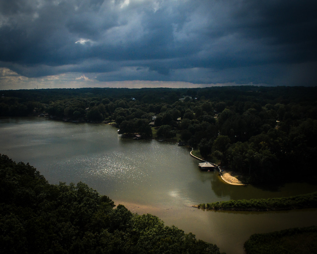
Encroaching Storm

Another Sunset

Just before Sunrise

Right now: fishing the 1st Broad River

King's Pinnacle at Sun Set

Where Rails Once Ran

The Last Picture Show

1969 Chevy Truck

Mountain Sunset

Bradford Pear

Winter Morning

A Story Day

Moss Lake after the Crash

Winter Morning

Streetlight Trees

Winter Morning

Day Comes to a Stop

Lone Tree by the Road
Topographic Map of W Stage Coach Trail, Lawndale, NC, USA
Find elevation by address:

Places near W Stage Coach Trail, Lawndale, NC, USA:
Harris Creek Road
4434 Shuford Lake Rd
8, Polkville
Cleveland County
Kingston Rd, Kingstown, NC, USA
Kingstown
Kingstown
Kingstown
Kingstown
Rehobeth Church Rd, Shelby, NC, USA
7, Sandy Run
Mt Zion Church Rd, Casar, NC, USA
Duncans Creek Rd, Ellenboro, NC, USA
Hollis Rd, Ellenboro, NC, USA
Ellenboro, NC, USA
Duncans Creek
687 Dycus Rd
Towery Trace Road
Colfax
2315 Duncans Creek Rd
Recent Searches:
- Elevation of County Rd, Enterprise, AL, USA
- Elevation of Kolchuginsky District, Vladimir Oblast, Russia
- Elevation of Shustino, Vladimir Oblast, Russia
- Elevation of Lampiasi St, Sarasota, FL, USA
- Elevation of Elwyn Dr, Roanoke Rapids, NC, USA
- Elevation of Congressional Dr, Stevensville, MD, USA
- Elevation of Bellview Rd, McLean, VA, USA
- Elevation of Stage Island Rd, Chatham, MA, USA
- Elevation of Shibuya Scramble Crossing, 21 Udagawacho, Shibuya City, Tokyo -, Japan
- Elevation of Jadagoniai, Kaunas District Municipality, Lithuania