Elevation of Dycus Rd, Ellenboro, NC, USA
Location: United States > North Carolina > Rutherford County > Colfax > Ellenboro >
Longitude: -81.752636
Latitude: 35.378369
Elevation: 313m / 1027feet
Barometric Pressure: 98KPa
Elevation Map:
Satellite Map:
Related Photos:

Hardin's Drug Store Billboard - Forest City, NC
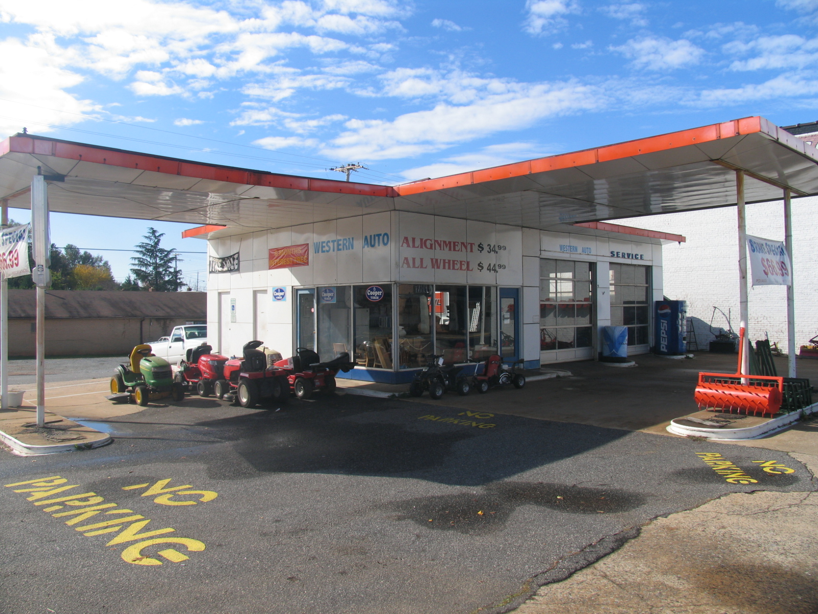
Old Gulf Station (now Western Auto) - Forest City, NC

Henrietta Mills No. 1, Henrietta, Rutherford Co., N.C.
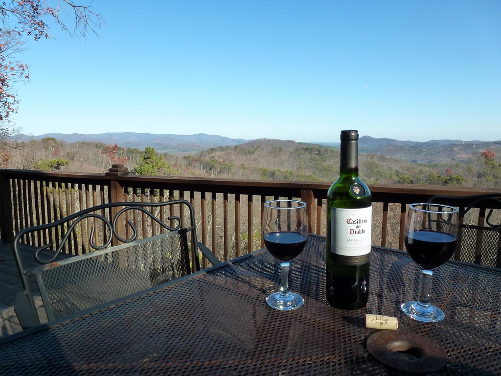
After Dinner View
View from the Deck

View from the Deck

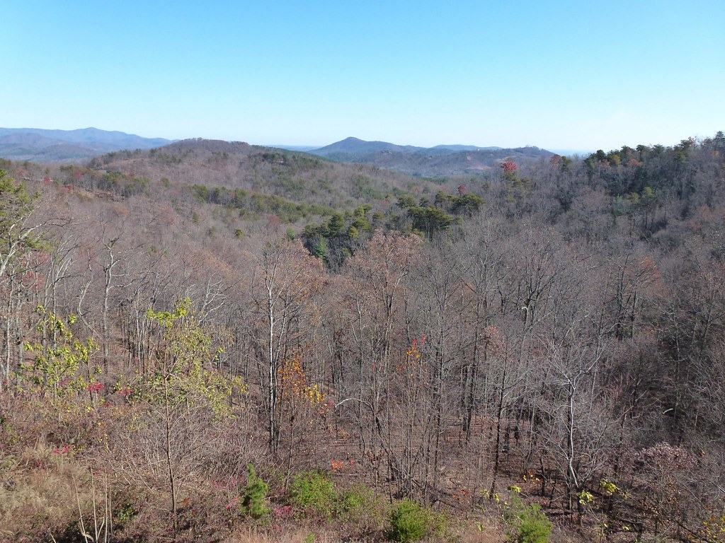
Camp Golden Valley

Camp Golden Valley

The Last Picture Show

Pouring Rain
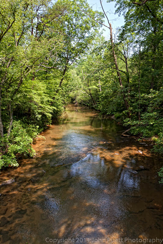
Golden Valley Creek #2
Golden Valley Creek

©MSM2012PaulOwen copy

9.7

Sunrise from the Deck

Sunrise from the Deck
Topographic Map of Dycus Rd, Ellenboro, NC, USA
Find elevation by address:

Places near Dycus Rd, Ellenboro, NC, USA:
Ellenboro, NC, USA
Colfax
601 Huskey Rd
Tiney Rd, Ellenboro, NC, USA
506 Tiney Rd
Hollis Rd, Ellenboro, NC, USA
Duncans Creek
1231 Andrew Mills Rd
Old U.S. 74, Bostic, NC, USA
240 Cabin Lake Rd
Duncans Creek Rd, Ellenboro, NC, USA
100 N Main St
Bostic
Towery Trace Road
608 Robinson Creek Rd
7, Sandy Run
4736 Bostic Sunshine Hwy
838 Pea Ridge Rd
Rehobeth Church Rd, Shelby, NC, USA
436 Toney Rd
Recent Searches:
- Elevation of Elwyn Dr, Roanoke Rapids, NC, USA
- Elevation of Congressional Dr, Stevensville, MD, USA
- Elevation of Bellview Rd, McLean, VA, USA
- Elevation of Stage Island Rd, Chatham, MA, USA
- Elevation of Shibuya Scramble Crossing, 21 Udagawacho, Shibuya City, Tokyo -, Japan
- Elevation of Jadagoniai, Kaunas District Municipality, Lithuania
- Elevation of Pagonija rock, Kranto 7-oji g. 8"N, Kaunas, Lithuania
- Elevation of Co Rd 87, Jamestown, CO, USA
- Elevation of Tenjo, Cundinamarca, Colombia
- Elevation of Côte-des-Neiges, Montreal, QC H4A 3J6, Canada