Elevation of Bostic Sunshine Hwy, Bostic, NC, USA
Location: United States > North Carolina > Rutherford County > Cool Spring > Bostic >
Longitude: -81.804554
Latitude: 35.4526139
Elevation: -10000m / -32808feet
Barometric Pressure: 295KPa
Elevation Map:
Satellite Map:
Related Photos:

Out Back

Hardin's Drug Store Billboard - Forest City, NC
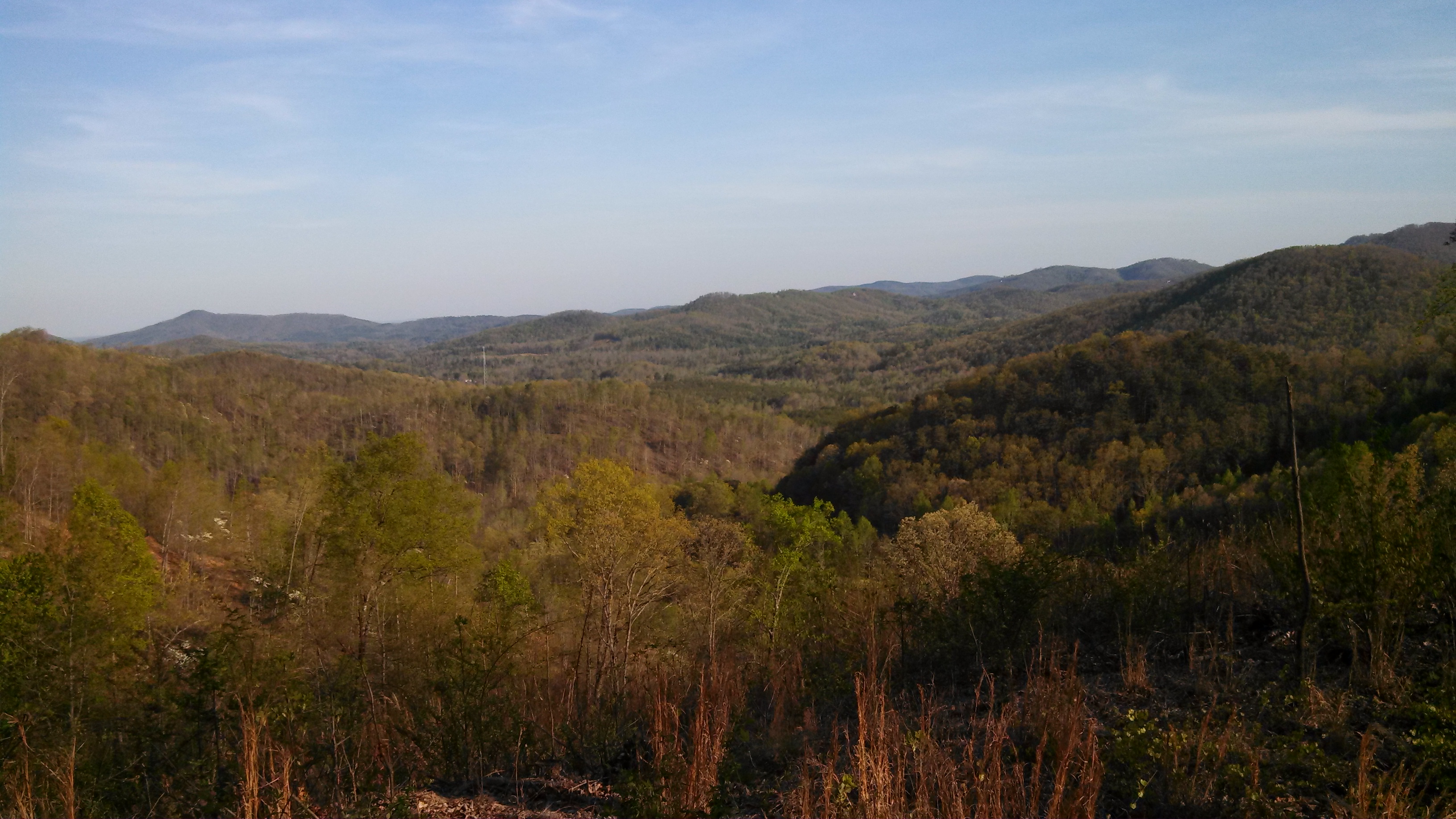
South Mountain Game Lands

Lee & I out scouting for turkey season and for this year's upcoming deer season

Not a bad view at all and a fun hike. Base of the waterfall at Chimney Rock.
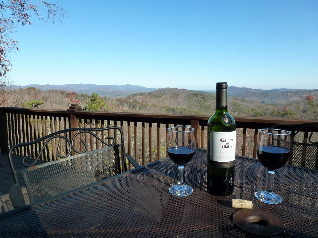
After Dinner View
View from the Deck

View from the Deck

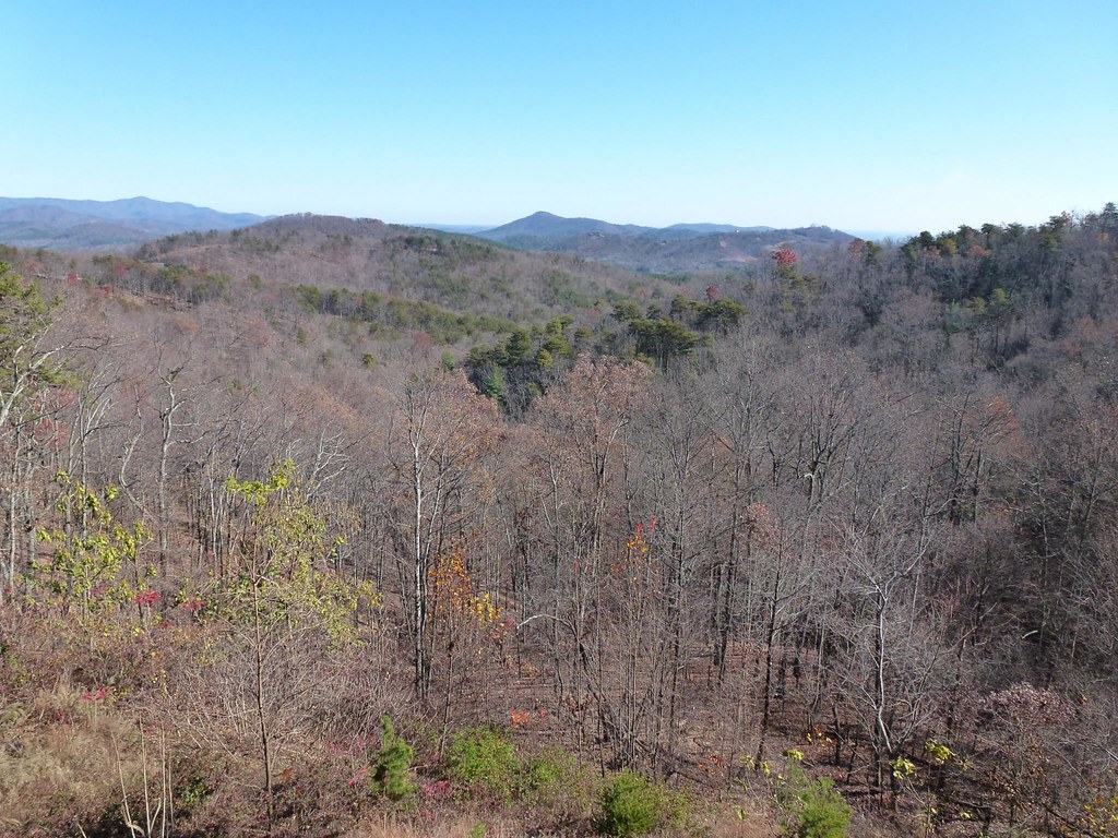
After the Storm

©MSM2012PaulOwen copy

A New Day
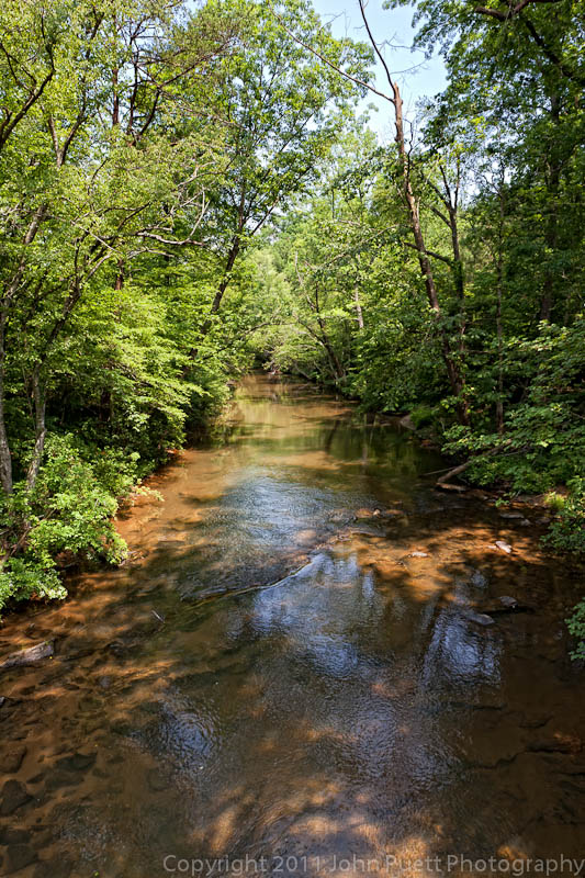
Golden Valley Creek #2
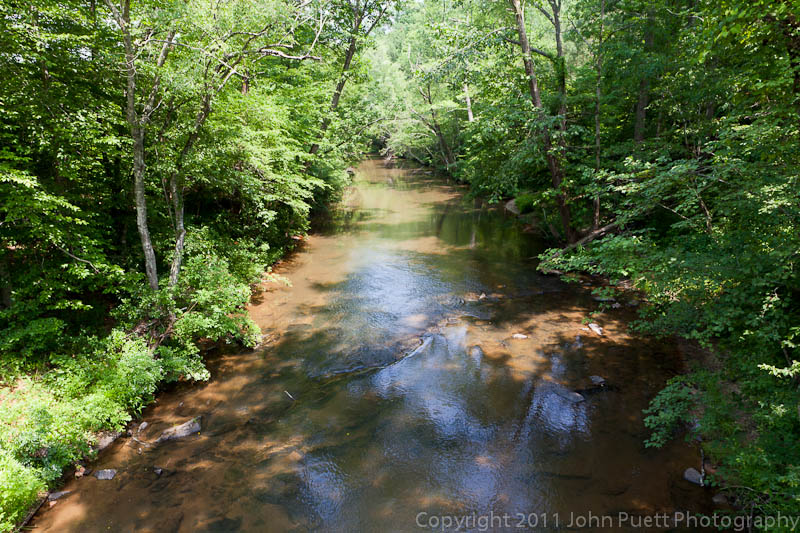
Golden Valley Creek

Camp Golden Valley

Camp Golden Valley

DeMariano Vineyard

Carolina Country Home

DeMariano Vineyards

August 18-2012-108-TM

Sunrise from the Deck

IMG_2203 (640x480)

IMG_2132 (640x480)
IMG_2206 (640x480)

Sunrise from the Deck

IMG_2204 (640x480)

The Sunset Lodge - Vista from Back Porch
Topographic Map of Bostic Sunshine Hwy, Bostic, NC, USA
Find elevation by address:

Places near Bostic Sunshine Hwy, Bostic, NC, USA:
436 Toney Rd
290 Arbra Mountain Rd
290 Arbra Mountain Way
379 Valley Hills Dr
352 Arbra Mountain Rd
694 Arbra Mountain Way
694 Arbra Mountain Rd
409 Adirondack Ln
788 Arbra Mountain Rd
537 Summit Pkwy
202 Fall Creek Dr
503 Summit Pkwy
Logan Store
250 Westridge Dr
202 Fall Creek Dr
202 Fall Creek Dr
202 Fall Creek Dr
176 Sarinac Dr
133 Saratoga Dr
1691 Arbra Mountain Way
Recent Searches:
- Elevation of Elk City, OK, USA
- Elevation of Erika Dr, Windsor, CA, USA
- Elevation of Village Ln, Finleyville, PA, USA
- Elevation of 24 Oakland Rd #, Scotland, ON N0E 1R0, Canada
- Elevation of Deep Gap Farm Rd E, Mill Spring, NC, USA
- Elevation of Dog Leg Dr, Minden, NV, USA
- Elevation of Dog Leg Dr, Minden, NV, USA
- Elevation of Kambingan Sa Pansol Atbp., Purok 7 Pansol, Candaba, Pampanga, Philippines
- Elevation of Pinewood Dr, New Bern, NC, USA
- Elevation of Mountain View, CA, USA