Elevation of Hollis Rd, Ellenboro, NC, USA
Location: United States > North Carolina > Rutherford County > Duncans Creek >
Longitude: -81.730894
Latitude: 35.4358755
Elevation: 365m / 1198feet
Barometric Pressure: 97KPa
Elevation Map:
Satellite Map:
Related Photos:

Sun kissed poppies
After Dinner View

So many daisies, so little time...
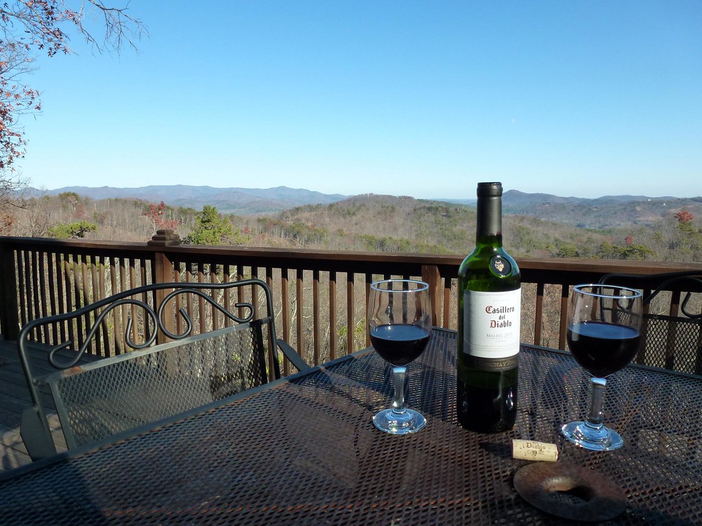
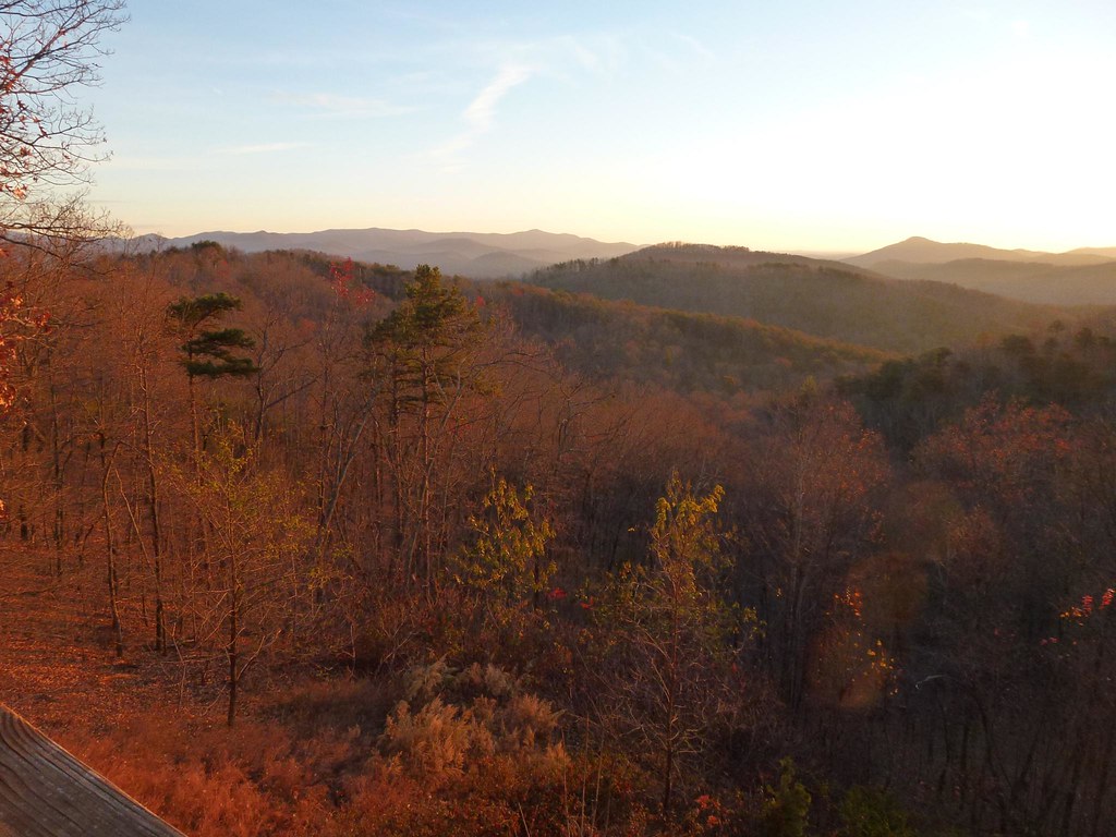
View from the Deck
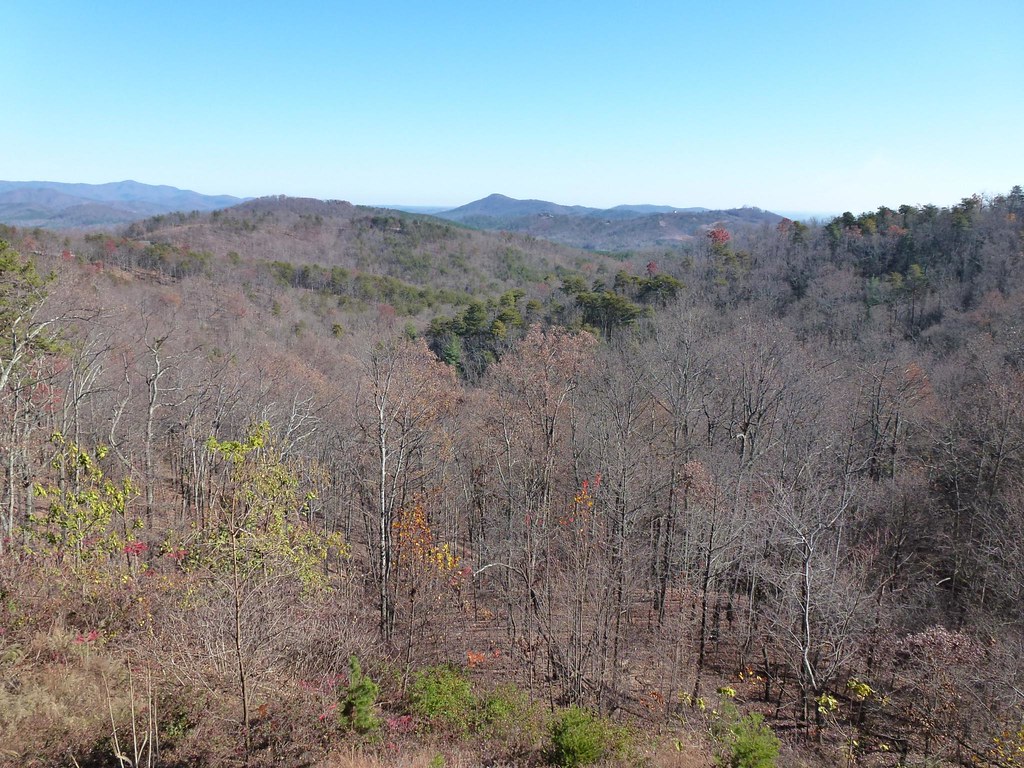
View from the Deck

Poppy field
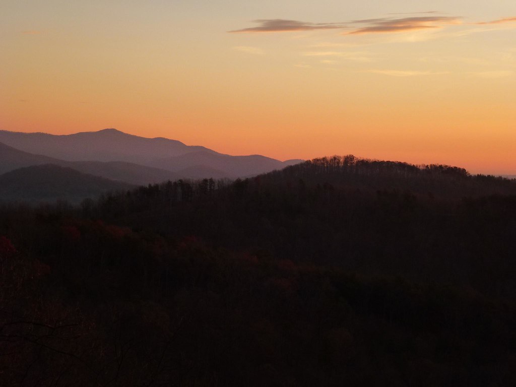
Sunrise from the Deck
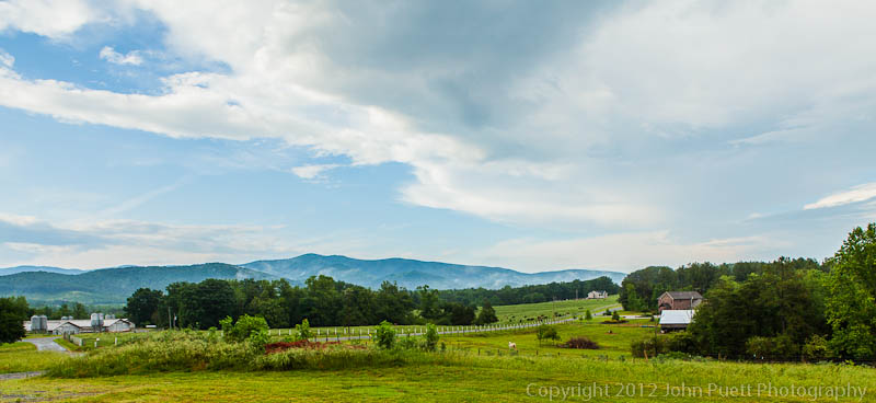
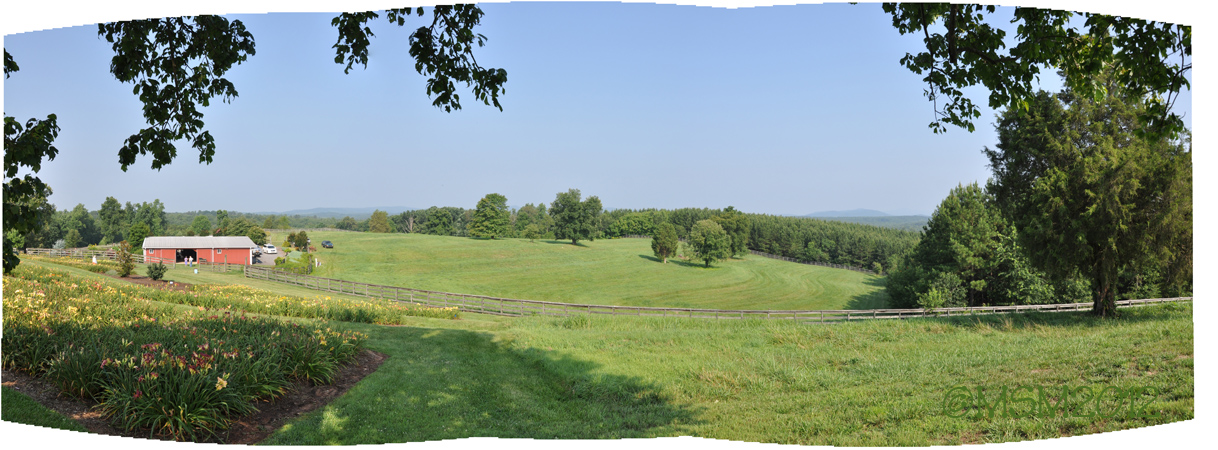
Farm Pasture with Solo Tree
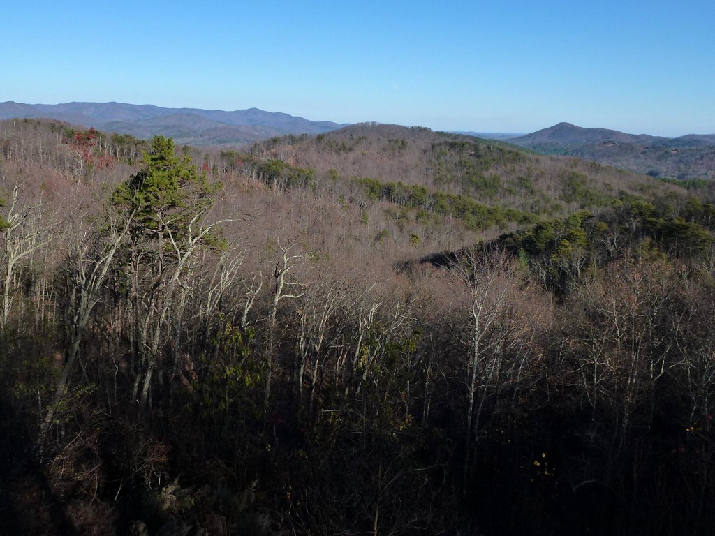
Sunrise from the Deck
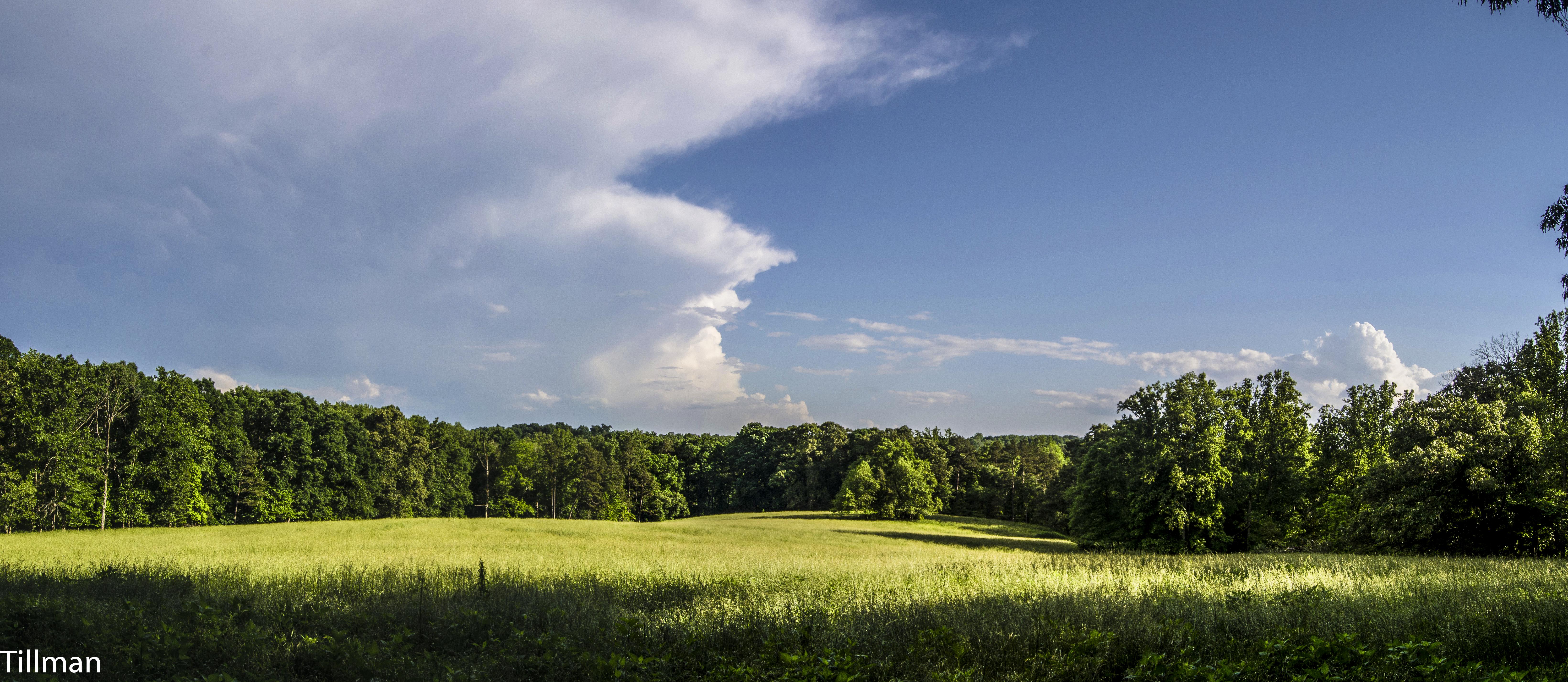
After the Storm

Golden Valley Creek

Golden Valley Creek #2
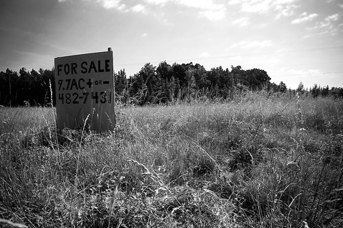
9.7
©MSM2012PaulOwen copy
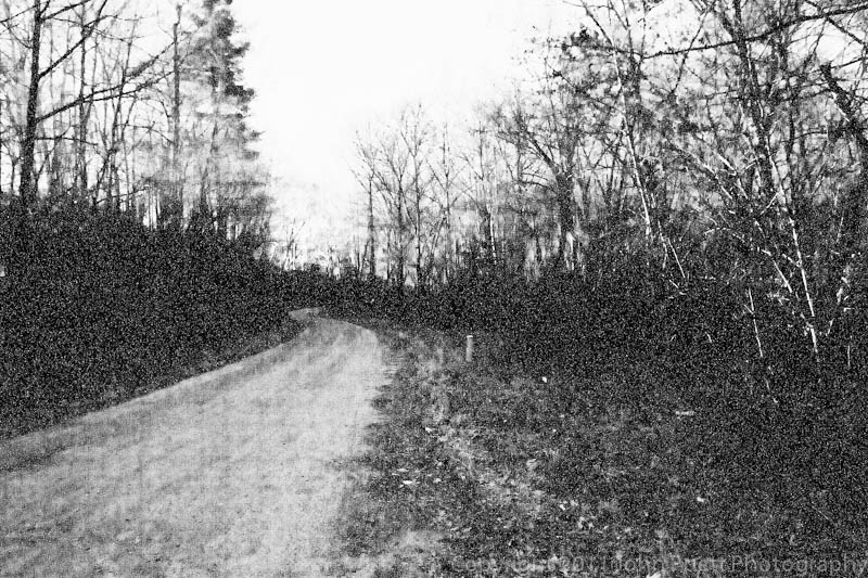
A Dirt Road in the Country at night
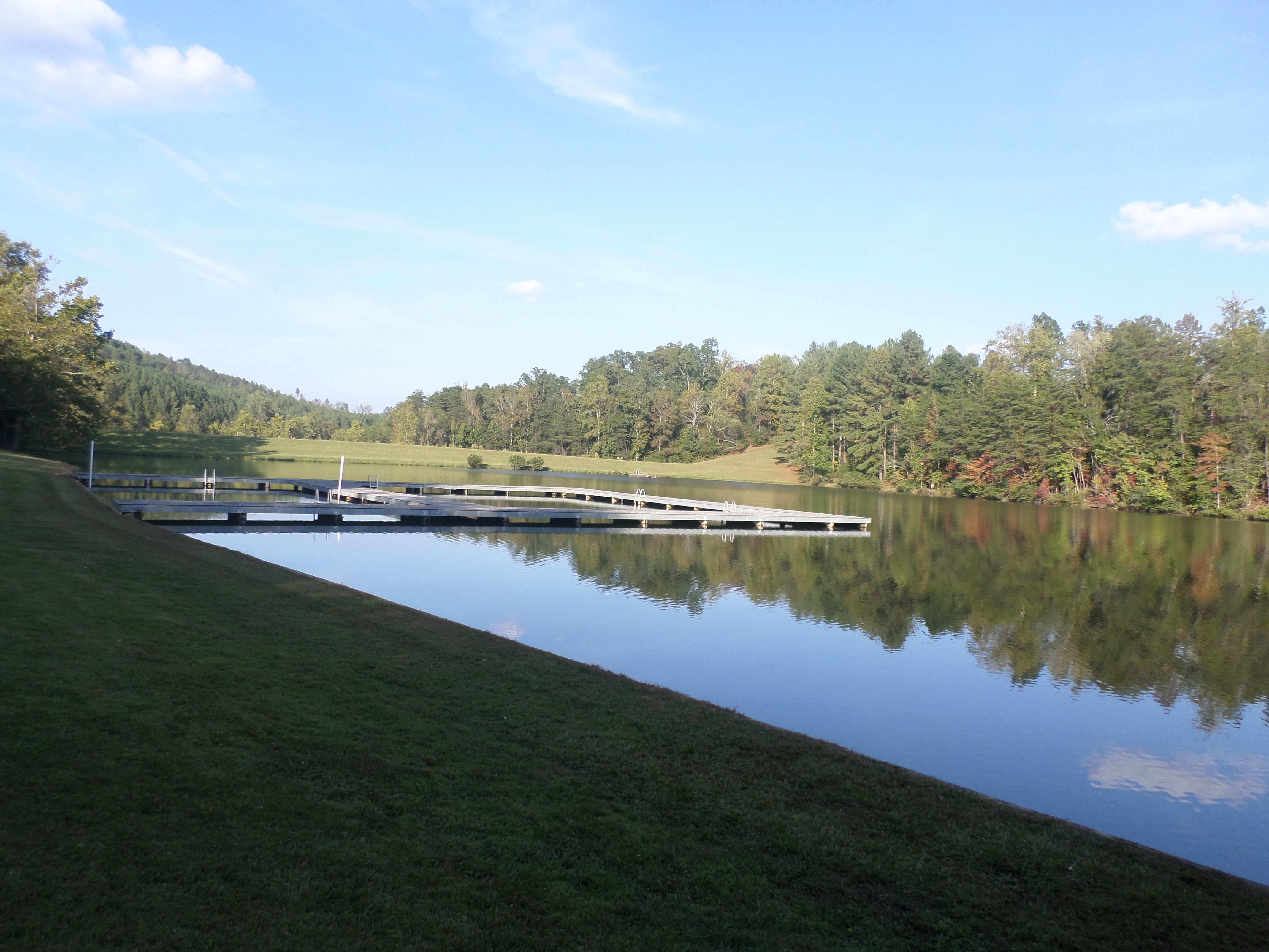
Camp Golden Valley
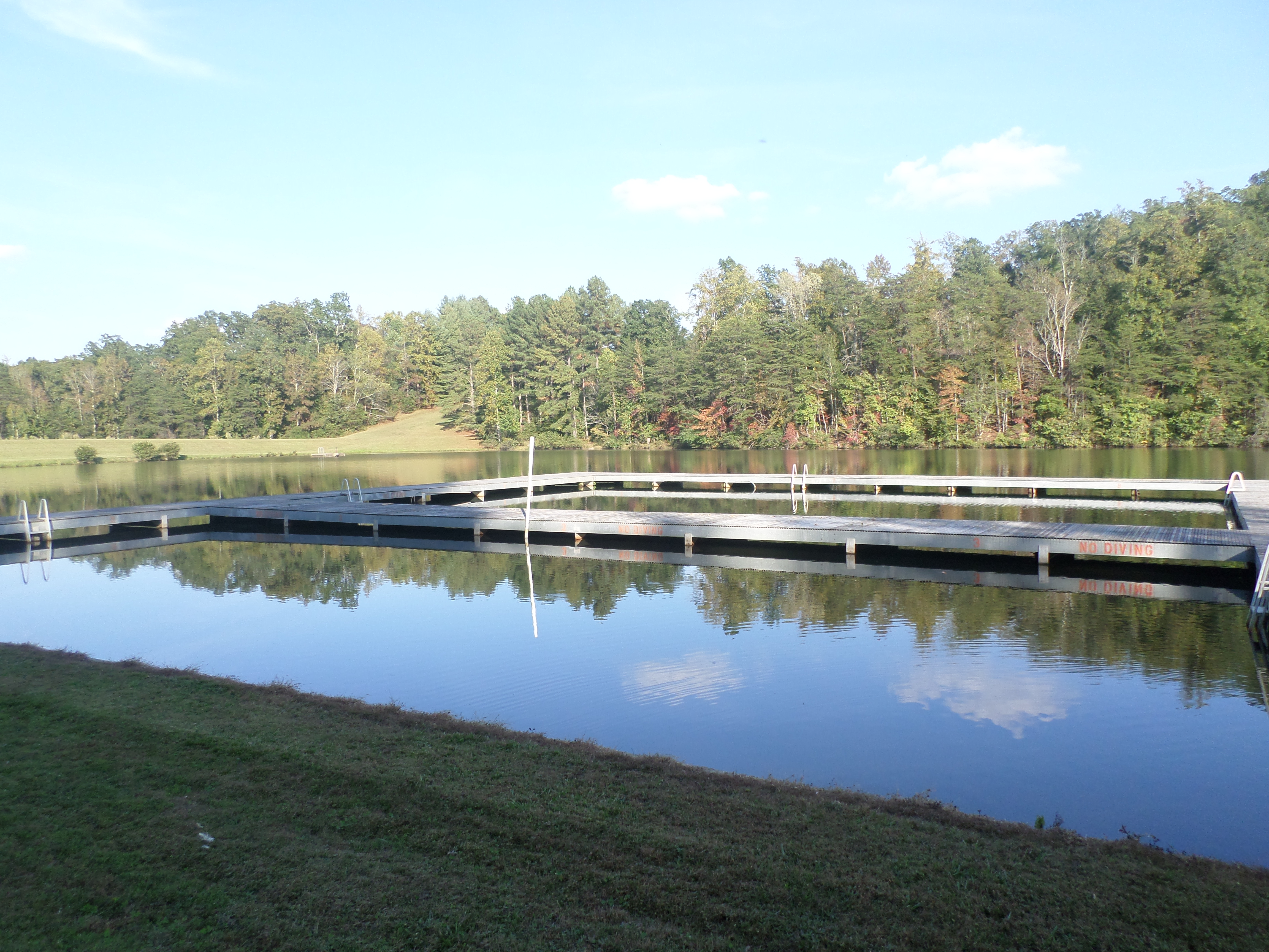
Camp Golden Valley
Topographic Map of Hollis Rd, Ellenboro, NC, USA
Find elevation by address:

Places near Hollis Rd, Ellenboro, NC, USA:
Duncans Creek Rd, Ellenboro, NC, USA
Duncans Creek
Towery Trace Road
2315 Duncans Creek Rd
Ellenboro, NC, USA
687 Dycus Rd
4736 Bostic Sunshine Hwy
318 Owls Ridge Dr
145 Azule Ridge Dr
436 Toney Rd
107 Woodgate Dr
Kildare Drive
537 Summit Pkwy
409 Adirondack Ln
503 Summit Pkwy
Colfax
379 Valley Hills Dr
290 Arbra Mountain Rd
290 Arbra Mountain Way
Mt Zion Church Rd, Casar, NC, USA
Recent Searches:
- Elevation of Jalan Senandin, Lutong, Miri, Sarawak, Malaysia
- Elevation of Bilohirs'k
- Elevation of 30 Oak Lawn Dr, Barkhamsted, CT, USA
- Elevation of Luther Road, Luther Rd, Auburn, CA, USA
- Elevation of Unnamed Road, Respublika Severnaya Osetiya — Alaniya, Russia
- Elevation of Verkhny Fiagdon, North Ossetia–Alania Republic, Russia
- Elevation of F. Viola Hiway, San Rafael, Bulacan, Philippines
- Elevation of Herbage Dr, Gulfport, MS, USA
- Elevation of Lilac Cir, Haldimand, ON N3W 2G9, Canada
- Elevation of Harrod Branch Road, Harrod Branch Rd, Kentucky, USA