Elevation of Duncans Creek, NC, USA
Location: United States > North Carolina > Rutherford County >
Longitude: -81.745884
Latitude: 35.4474137
Elevation: 413m / 1355feet
Barometric Pressure: 96KPa
Elevation Map:
Satellite Map:
Related Photos:
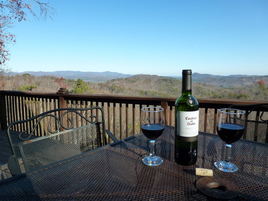
After Dinner View
View from the Deck
View from the Deck
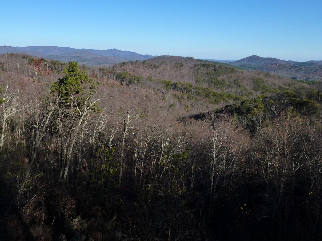
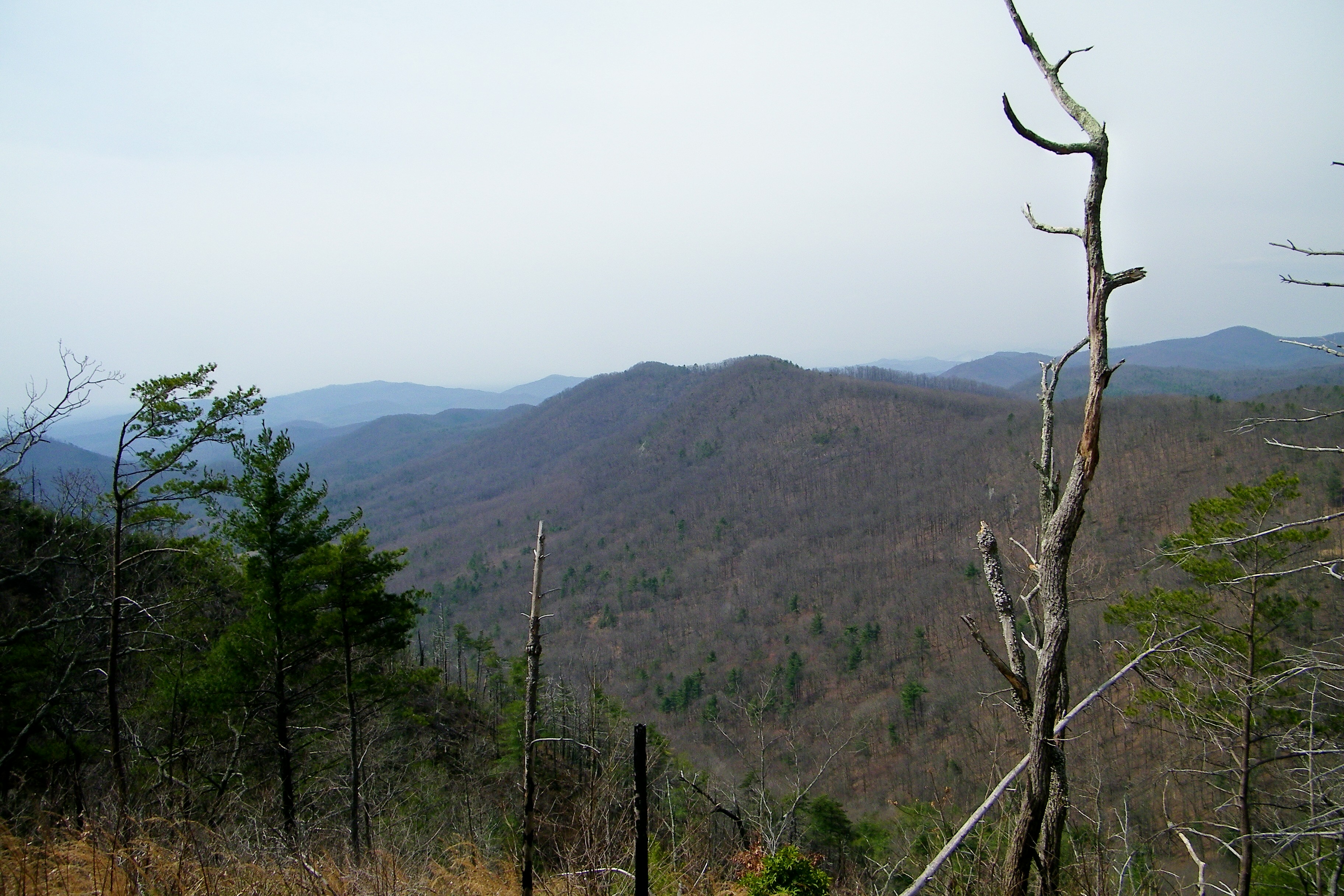
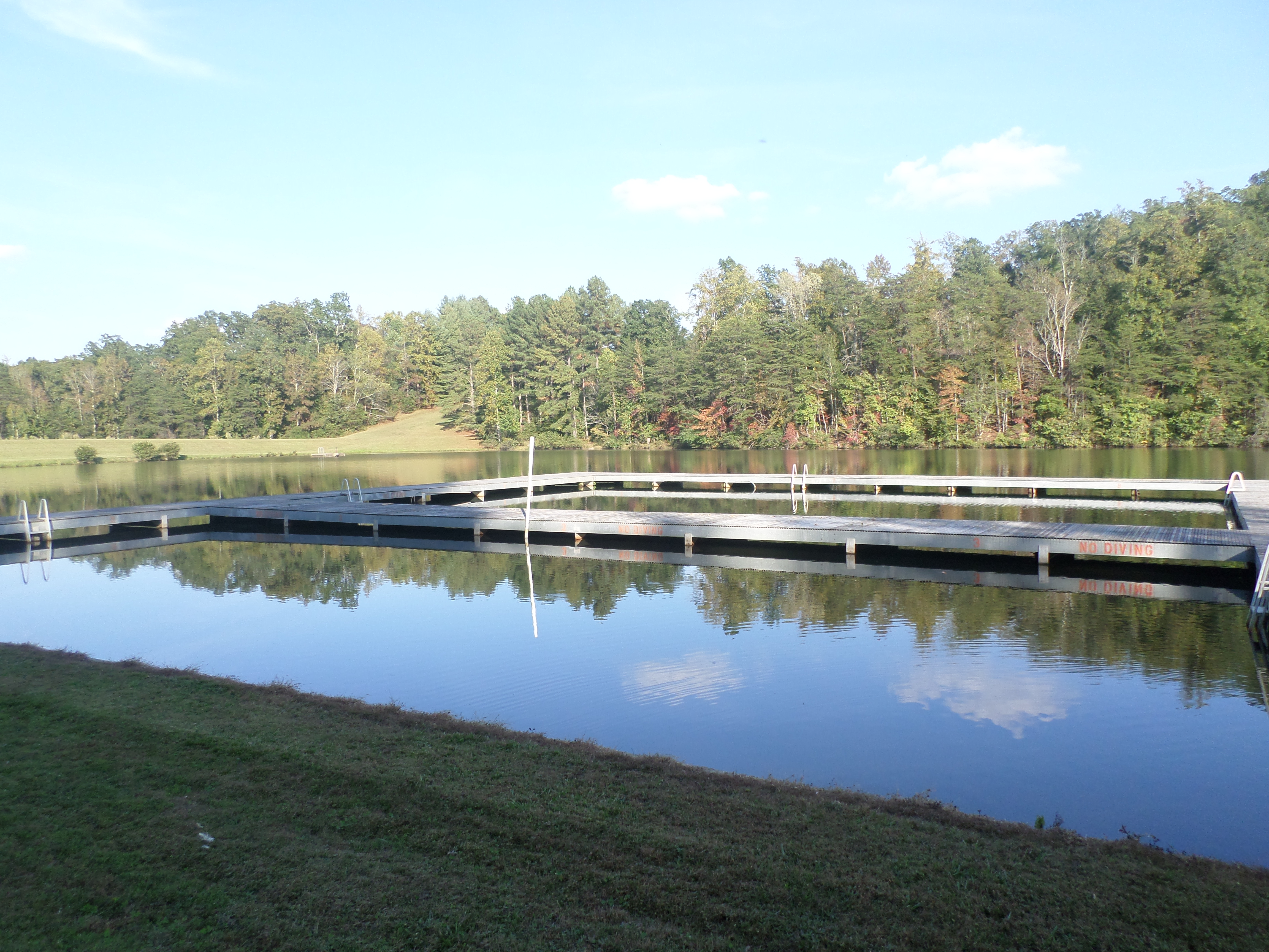
South Mountain Game Lands

Not a bad view at all and a fun hike. Base of the waterfall at Chimney Rock.
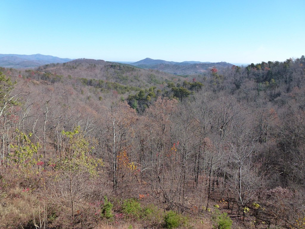
View from the old CCC Road
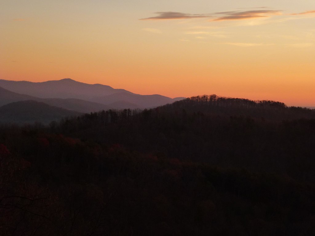
Sunrise from the Deck
Sunrise from the Deck
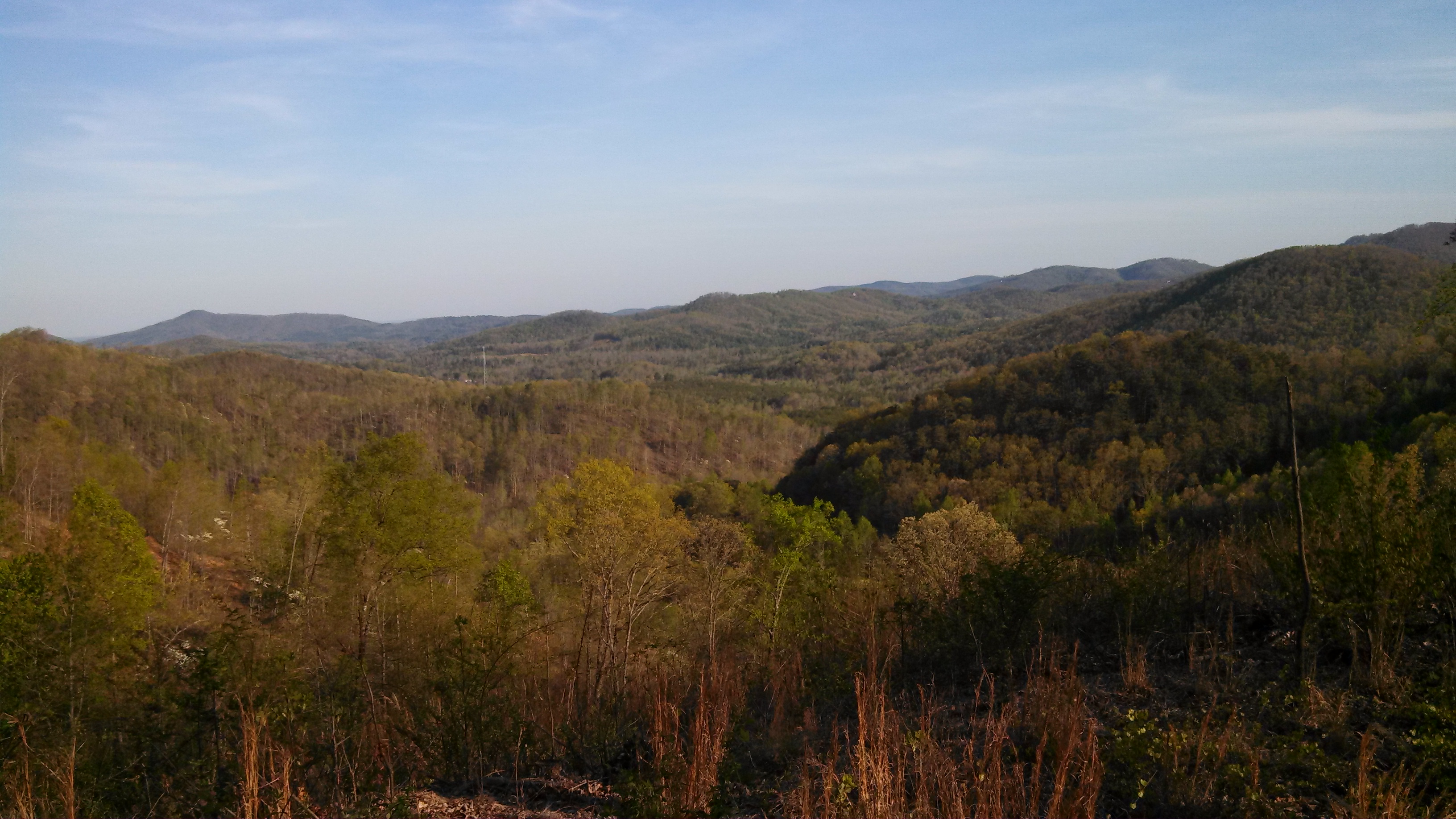
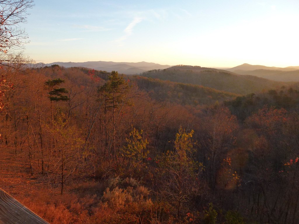
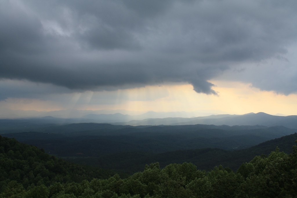
After the Storm

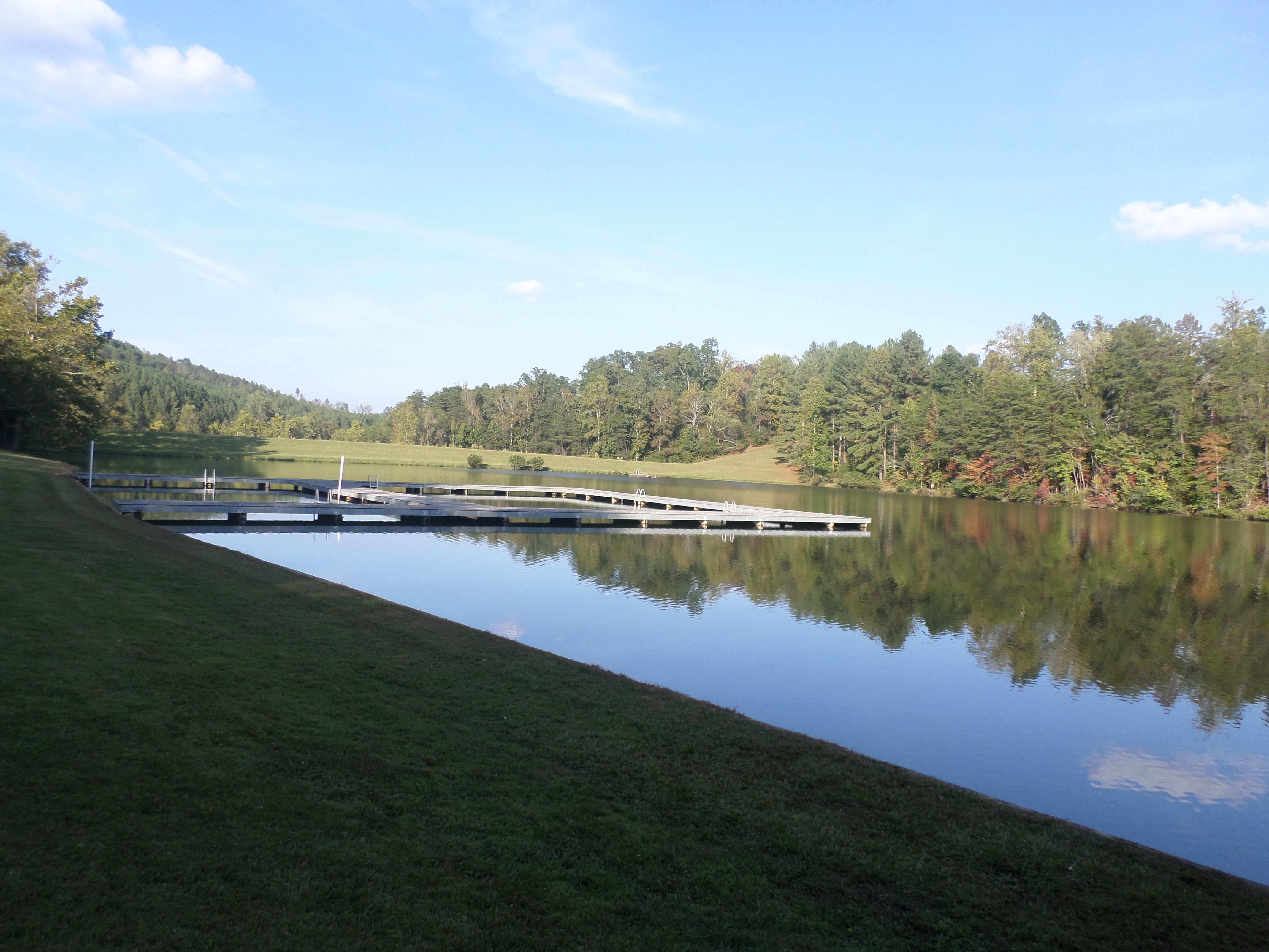
Golden Valley Creek

Golden Valley Creek #2
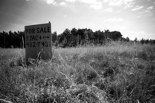
9.7
©MSM2012PaulOwen copy
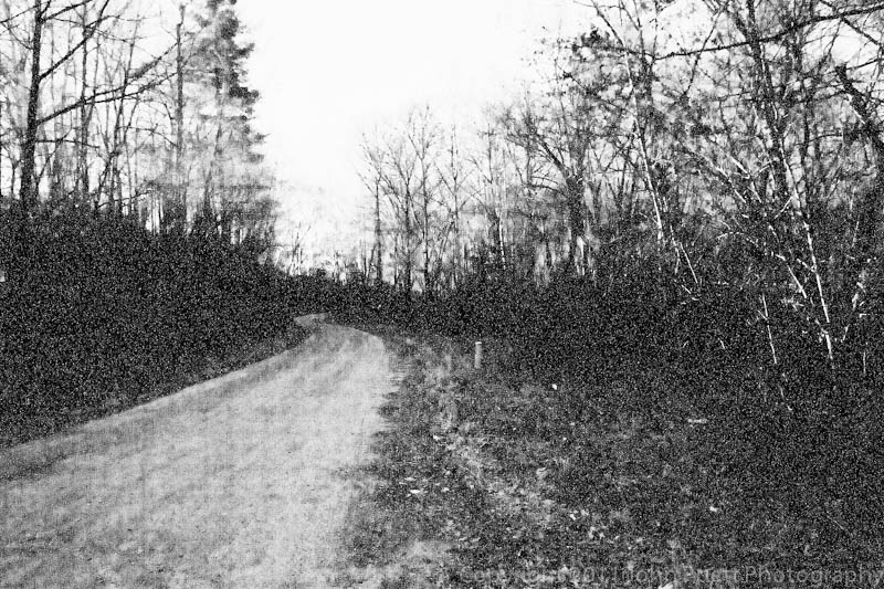
A Dirt Road in the Country at night
Camp Golden Valley
Camp Golden Valley
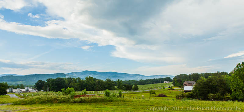
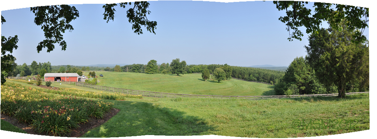
The Sunset Lodge - Vista from Back Porch

The Sunset Lodge - Vista from Back Porch
Topographic Map of Duncans Creek, NC, USA
Find elevation by address:

Places in Duncans Creek, NC, USA:
Places near Duncans Creek, NC, USA:
Hollis Rd, Ellenboro, NC, USA
Towery Trace Road
Duncans Creek Rd, Ellenboro, NC, USA
2315 Duncans Creek Rd
318 Owls Ridge Dr
4736 Bostic Sunshine Hwy
145 Azule Ridge Dr
107 Woodgate Dr
Ellenboro, NC, USA
436 Toney Rd
Kildare Drive
537 Summit Pkwy
409 Adirondack Ln
687 Dycus Rd
503 Summit Pkwy
379 Valley Hills Dr
290 Arbra Mountain Rd
290 Arbra Mountain Way
352 Arbra Mountain Rd
694 Arbra Mountain Way
Recent Searches:
- Elevation of Fern Rd, Whitmore, CA, USA
- Elevation of 62 Abbey St, Marshfield, MA, USA
- Elevation of Fernwood, Bradenton, FL, USA
- Elevation of Felindre, Swansea SA5 7LU, UK
- Elevation of Leyte Industrial Development Estate, Isabel, Leyte, Philippines
- Elevation of W Granada St, Tampa, FL, USA
- Elevation of Pykes Down, Ivybridge PL21 0BY, UK
- Elevation of Jalan Senandin, Lutong, Miri, Sarawak, Malaysia
- Elevation of Bilohirs'k
- Elevation of 30 Oak Lawn Dr, Barkhamsted, CT, USA