Elevation of 8, Polkville, NC, USA
Location: United States > North Carolina > Cleveland County >
Longitude: -81.625428
Latitude: 35.4282132
Elevation: 302m / 991feet
Barometric Pressure: 98KPa
Elevation Map:
Satellite Map:
Related Photos:

Happy Solstice

Right now: fishing the 1st Broad River

Where Rails Once Ran

The Last Picture Show

1969 Chevy Truck
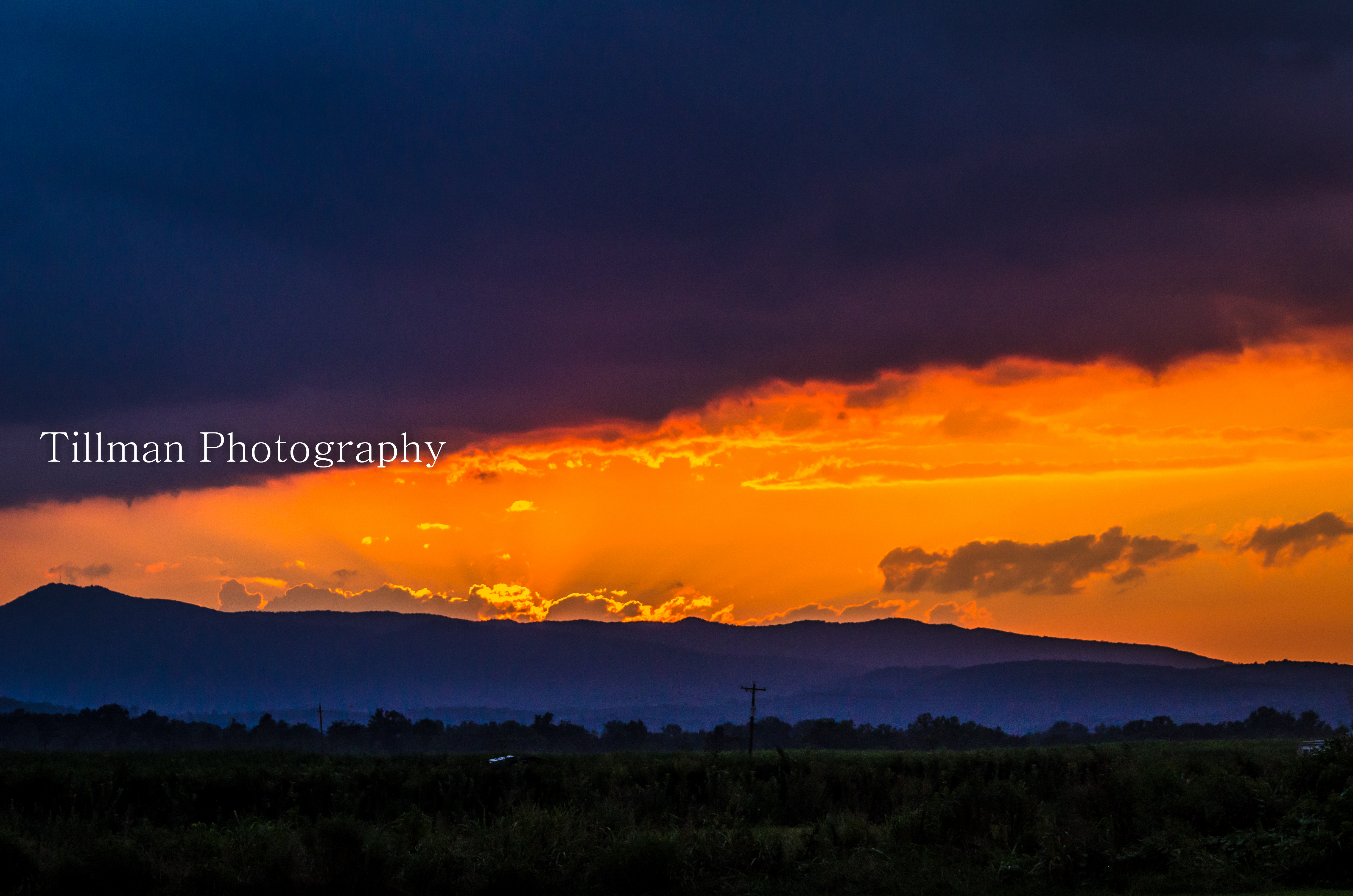
Mountain Sunset

Vineyard042215_2a-2

Bradford Pear

Day Comes to a Stop

Lone Tree by the Road
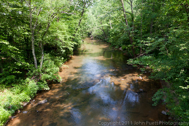
Golden Valley Creek #2
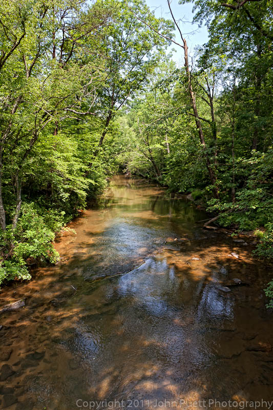
Golden Valley Creek

After the Storm

©MSM2012PaulOwen copy

9.7

Field at sunset

First Cutting

Sarah's Falls
Topographic Map of 8, Polkville, NC, USA
Find elevation by address:

Places near 8, Polkville, NC, USA:
4434 Shuford Lake Rd
Harris Creek Road
1169 W Stage Coach Trail
Cleveland County
Rehobeth Church Rd, Shelby, NC, USA
Kingston Rd, Kingstown, NC, USA
Kingstown
Kingstown
Kingstown
Kingstown
Mt Zion Church Rd, Casar, NC, USA
Duncans Creek Rd, Ellenboro, NC, USA
7, Sandy Run
Hollis Rd, Ellenboro, NC, USA
Duncans Creek
Ellenboro, NC, USA
Towery Trace Road
687 Dycus Rd
2315 Duncans Creek Rd
Colfax
Recent Searches:
- Elevation of Lampiasi St, Sarasota, FL, USA
- Elevation of Elwyn Dr, Roanoke Rapids, NC, USA
- Elevation of Congressional Dr, Stevensville, MD, USA
- Elevation of Bellview Rd, McLean, VA, USA
- Elevation of Stage Island Rd, Chatham, MA, USA
- Elevation of Shibuya Scramble Crossing, 21 Udagawacho, Shibuya City, Tokyo -, Japan
- Elevation of Jadagoniai, Kaunas District Municipality, Lithuania
- Elevation of Pagonija rock, Kranto 7-oji g. 8"N, Kaunas, Lithuania
- Elevation of Co Rd 87, Jamestown, CO, USA
- Elevation of Tenjo, Cundinamarca, Colombia