Elevation of Cleveland County, NC, USA
Location: United States > North Carolina >
Longitude: -81.6035062
Latitude: 35.361354
Elevation: 280m / 919feet
Barometric Pressure: 0KPa
Related Photos:

Sun kissed poppies

Federal Sign & Signal 2T22 - Shelby, NC
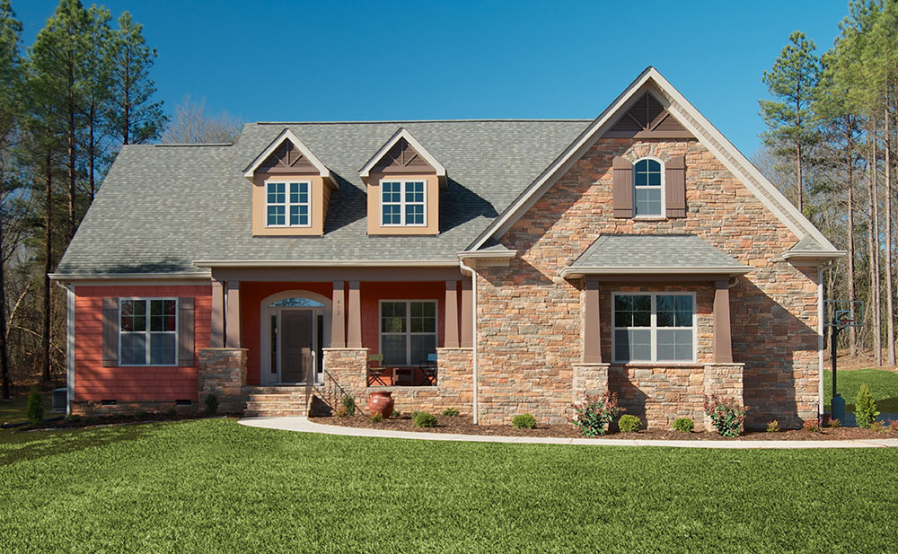
Plan #1220 - The Lisenby - Builder Submitted Photos

Triumph Side-View

Happy Solstice

So many daisies, so little time...

Side View, Old Cleveland County Courthouse
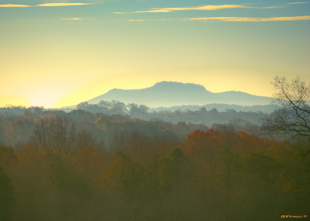
Kings Mountain from Miles Away
Kings Mountain from Miles Away

The gianormous ferris wheel with an awesome view tonight! #fair #fall #qualitytime #ferriswheel

Kings Mountain from Miles Away

Bridges BBQ - Shelby, NC
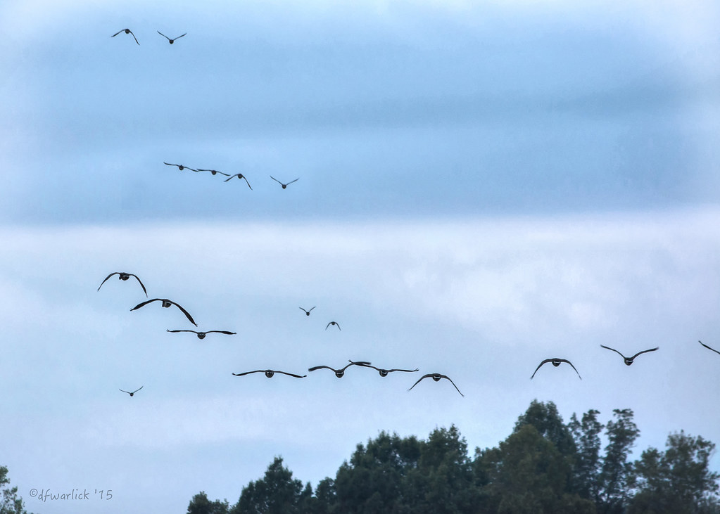
Flying South

Poppy field
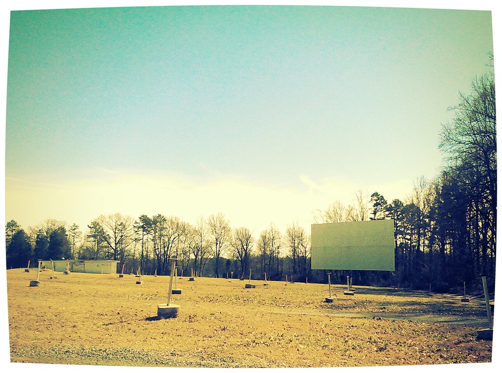
The Last Picture Show

Crown Drumline at Sunset
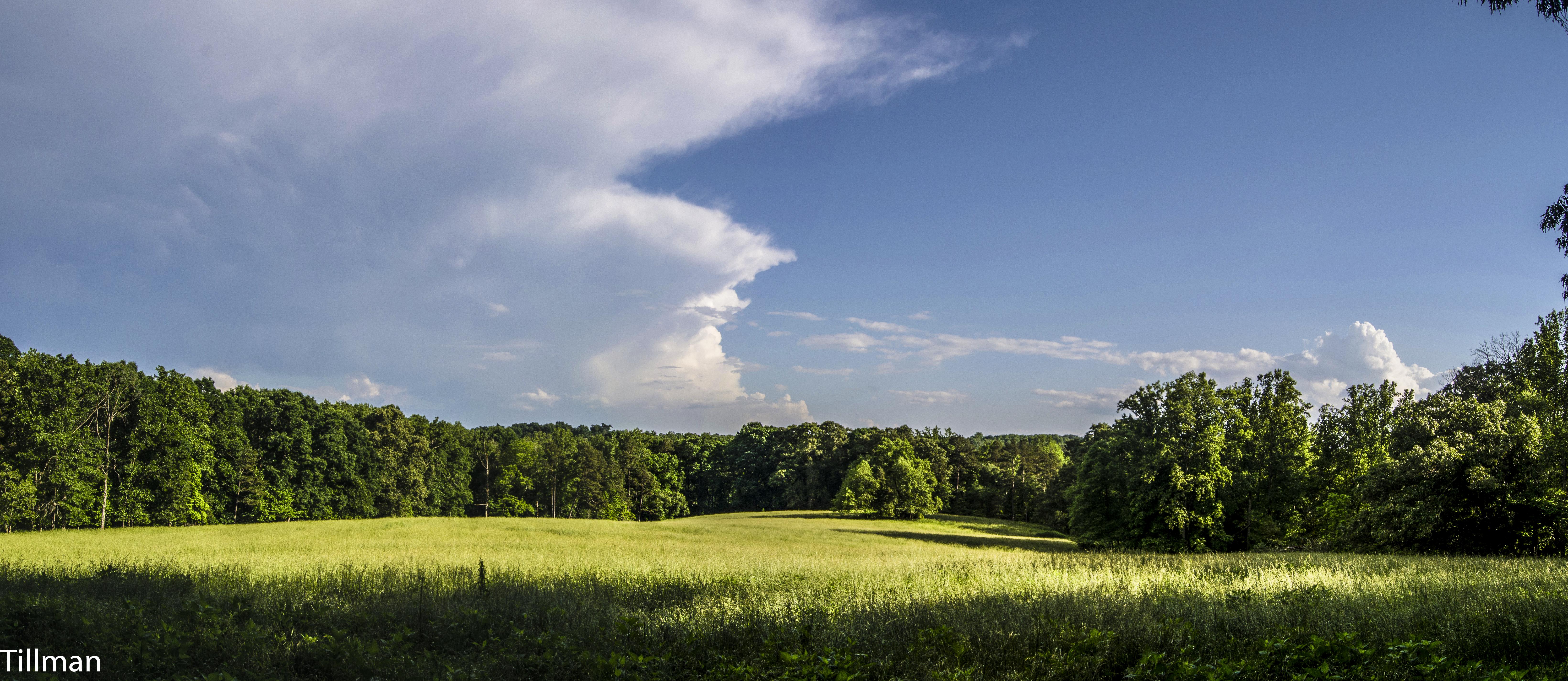
Farm Pasture with Solo Tree

30,000 feet above Tennessee

Another day, another G•Webb sunset.
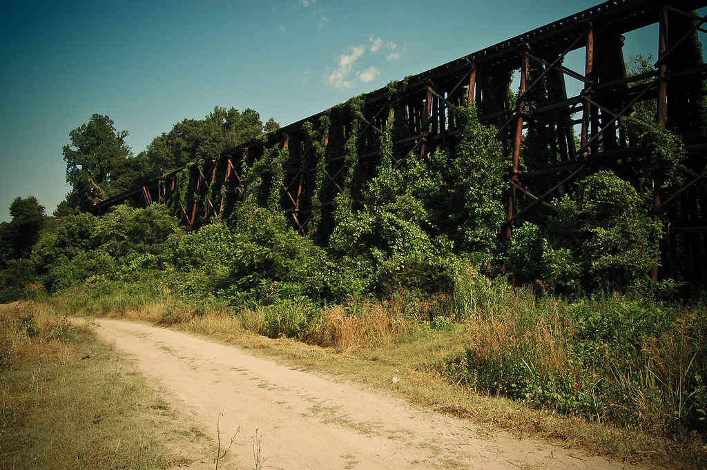
Where Rails Once Ran

Right now: fishing the 1st Broad River
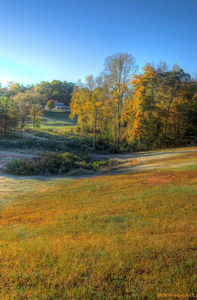
First Frost at the Lake

Carolina "Thunderbumper"
Bradford Pear
Sarah's Falls
Field at sunset

Spangler Stadium
9.7
©MSM2012PaulOwen copy
0450 Webbley Img_5780
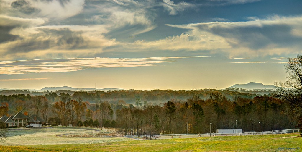
Into the foothills
Topographic Map of Cleveland County, NC, USA
Find elevation by address:

Places in Cleveland County, NC, USA:
6, Shelby
7, Sandy Run
4, Kings Mountain
10, Knob Creek
9, Double Shoals
2, Boiling Springs
11, Casar
3, Rippys
Country Garden Dr, Shelby, NC, USA
5, Warlick
Gorrell St, Shelby, NC, USA
8, Polkville
Buffalo Church Rd, Cherryville, NC, USA
Harris Creek Road
1, River
Fallston-Waco Rd, Shelby, NC, USA
Poplar Springs Church Rd, Shelby, NC, USA
Blacksburg Rd, Grover, NC, USA
4434 Shuford Lake Rd
N Main St, Shelby, NC, USA
Casar Rd, Casar, NC, USA
Mt Zion Church Rd, Casar, NC, USA
Places near Cleveland County, NC, USA:
Kingston Rd, Kingstown, NC, USA
Kingstown
Kingstown
Kingstown
Kingstown
Harris Creek Road
Rehobeth Church Rd, Shelby, NC, USA
1169 W Stage Coach Trail
4434 Shuford Lake Rd
7, Sandy Run
8, Polkville
Duncans Creek Rd, Ellenboro, NC, USA
Ellenboro, NC, USA
Hollis Rd, Ellenboro, NC, USA
687 Dycus Rd
Colfax
Mt Zion Church Rd, Casar, NC, USA
Duncans Creek
601 Huskey Rd
Towery Trace Road
Recent Searches:
- Elevation map of Greenland, Greenland
- Elevation of Sullivan Hill, New York, New York, 10002, USA
- Elevation of Morehead Road, Withrow Downs, Charlotte, Mecklenburg County, North Carolina, 28262, USA
- Elevation of 2800, Morehead Road, Withrow Downs, Charlotte, Mecklenburg County, North Carolina, 28262, USA
- Elevation of Yangbi Yi Autonomous County, Yunnan, China
- Elevation of Pingpo, Yangbi Yi Autonomous County, Yunnan, China
- Elevation of Mount Malong, Pingpo, Yangbi Yi Autonomous County, Yunnan, China
- Elevation map of Yongping County, Yunnan, China
- Elevation of North 8th Street, Palatka, Putnam County, Florida, 32177, USA
- Elevation of 107, Big Apple Road, East Palatka, Putnam County, Florida, 32131, USA
- Elevation of Jiezi, Chongzhou City, Sichuan, China
- Elevation of Chongzhou City, Sichuan, China
- Elevation of Huaiyuan, Chongzhou City, Sichuan, China
- Elevation of Qingxia, Chengdu, Sichuan, China
- Elevation of Corso Fratelli Cairoli, 35, Macerata MC, Italy
- Elevation of Tallevast Rd, Sarasota, FL, USA
- Elevation of 4th St E, Sonoma, CA, USA
- Elevation of Black Hollow Rd, Pennsdale, PA, USA
- Elevation of Oakland Ave, Williamsport, PA, USA
- Elevation of Pedrógão Grande, Portugal