Elevation of W S, Hurricane, UT, USA
Location: United States > Utah > Hurricane >
Longitude: -113.30179
Latitude: 37.137759
Elevation: 1028m / 3373feet
Barometric Pressure: 90KPa
Elevation Map:
Satellite Map:
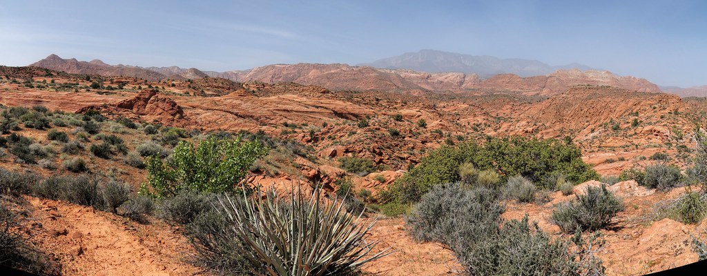
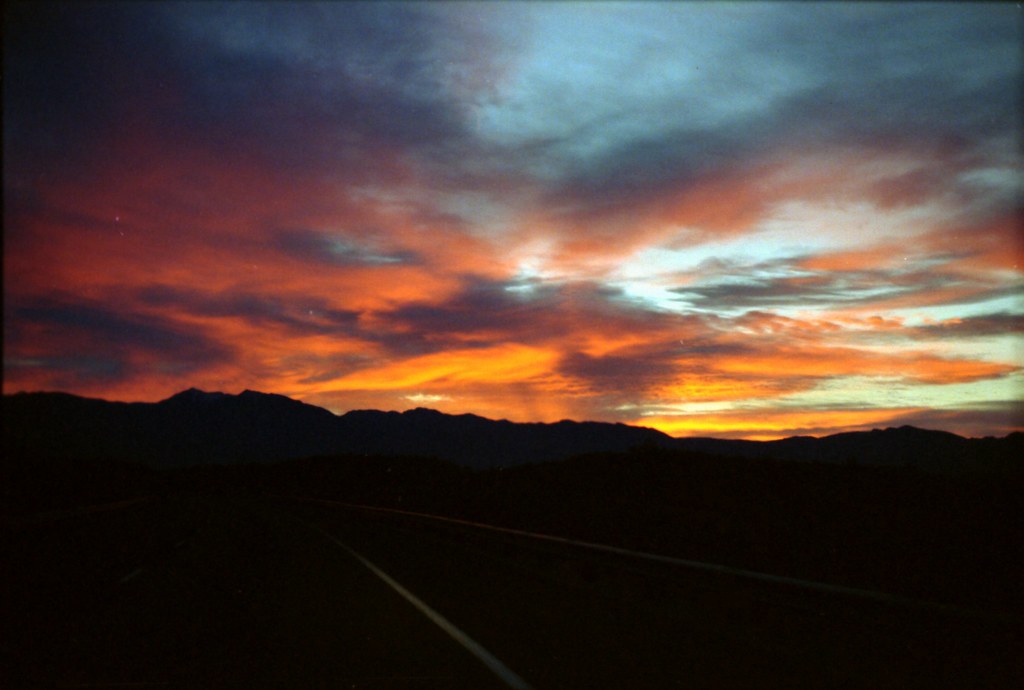
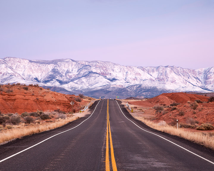
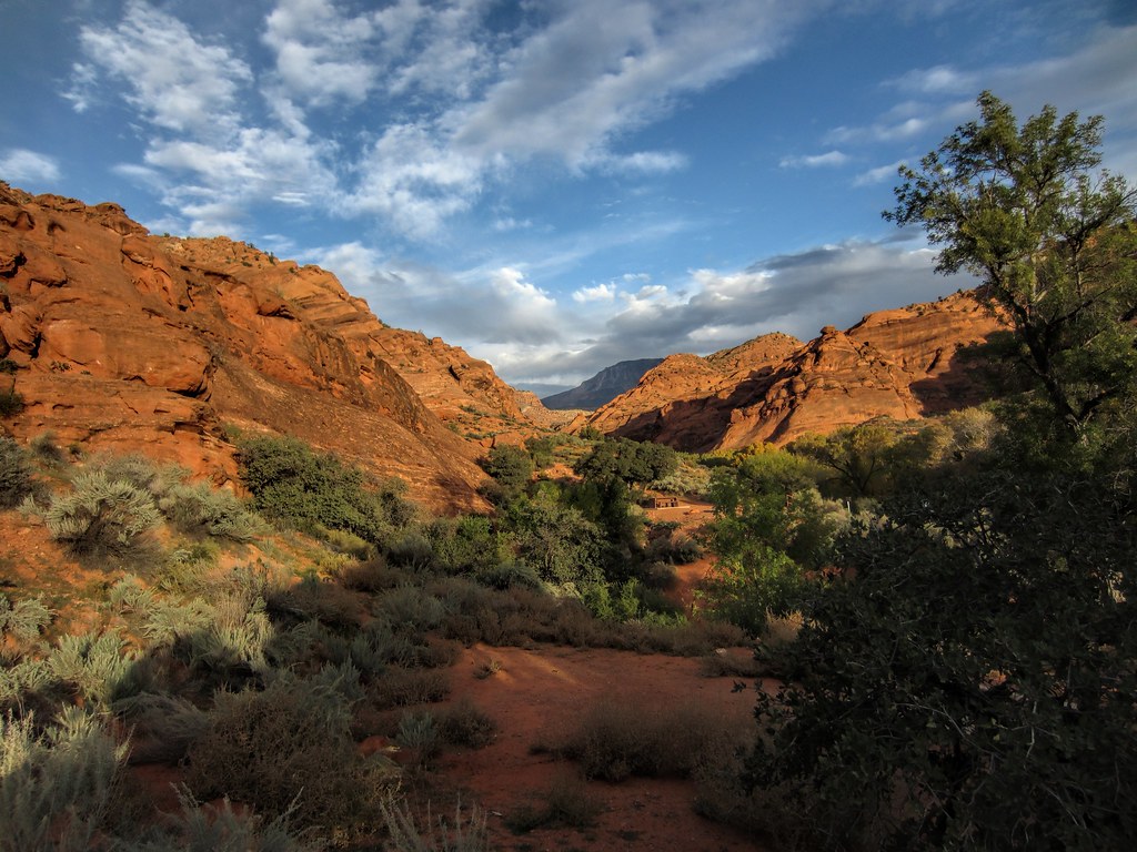
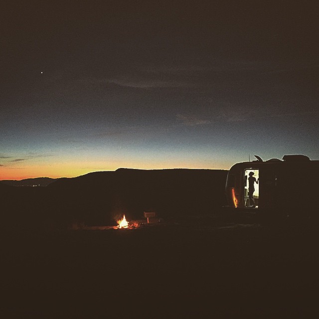
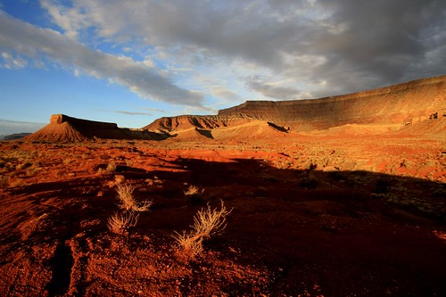
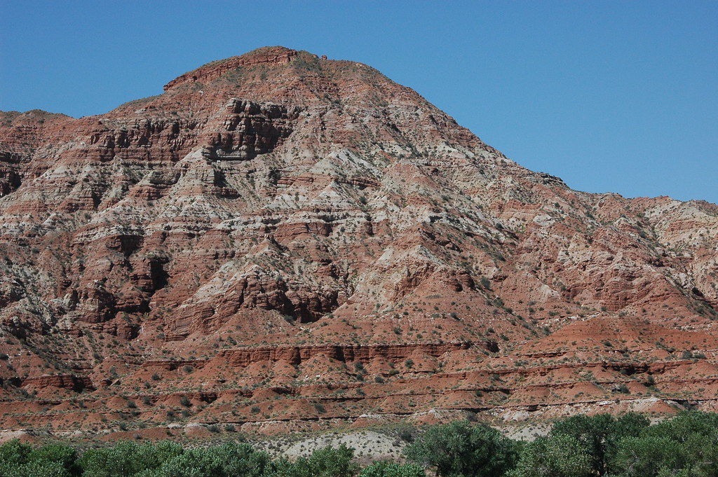
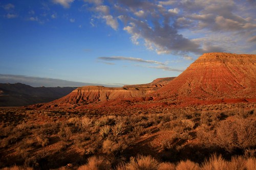
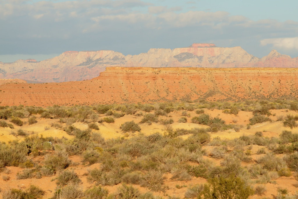
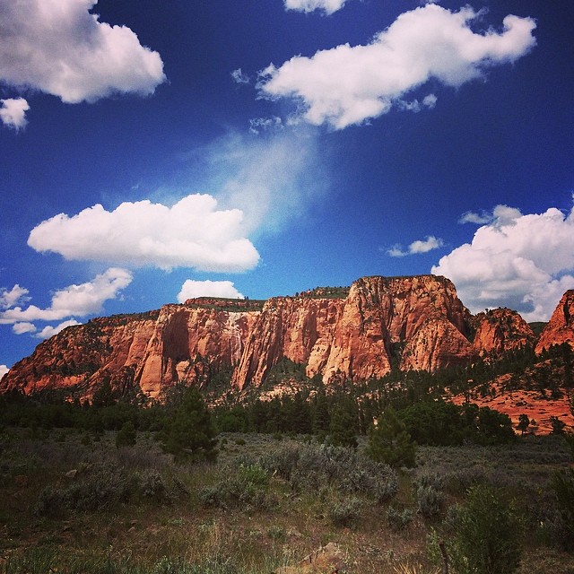
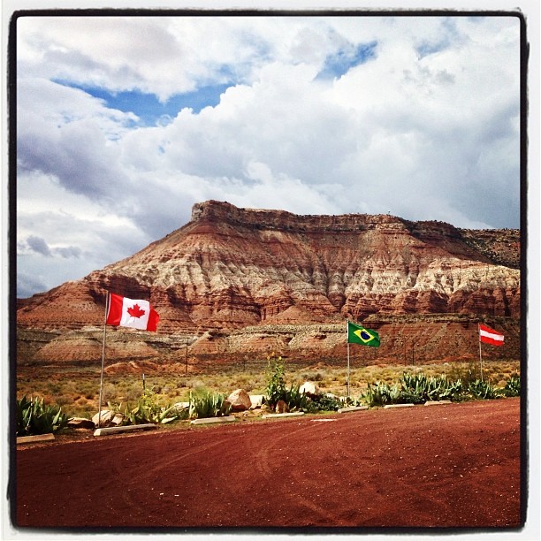
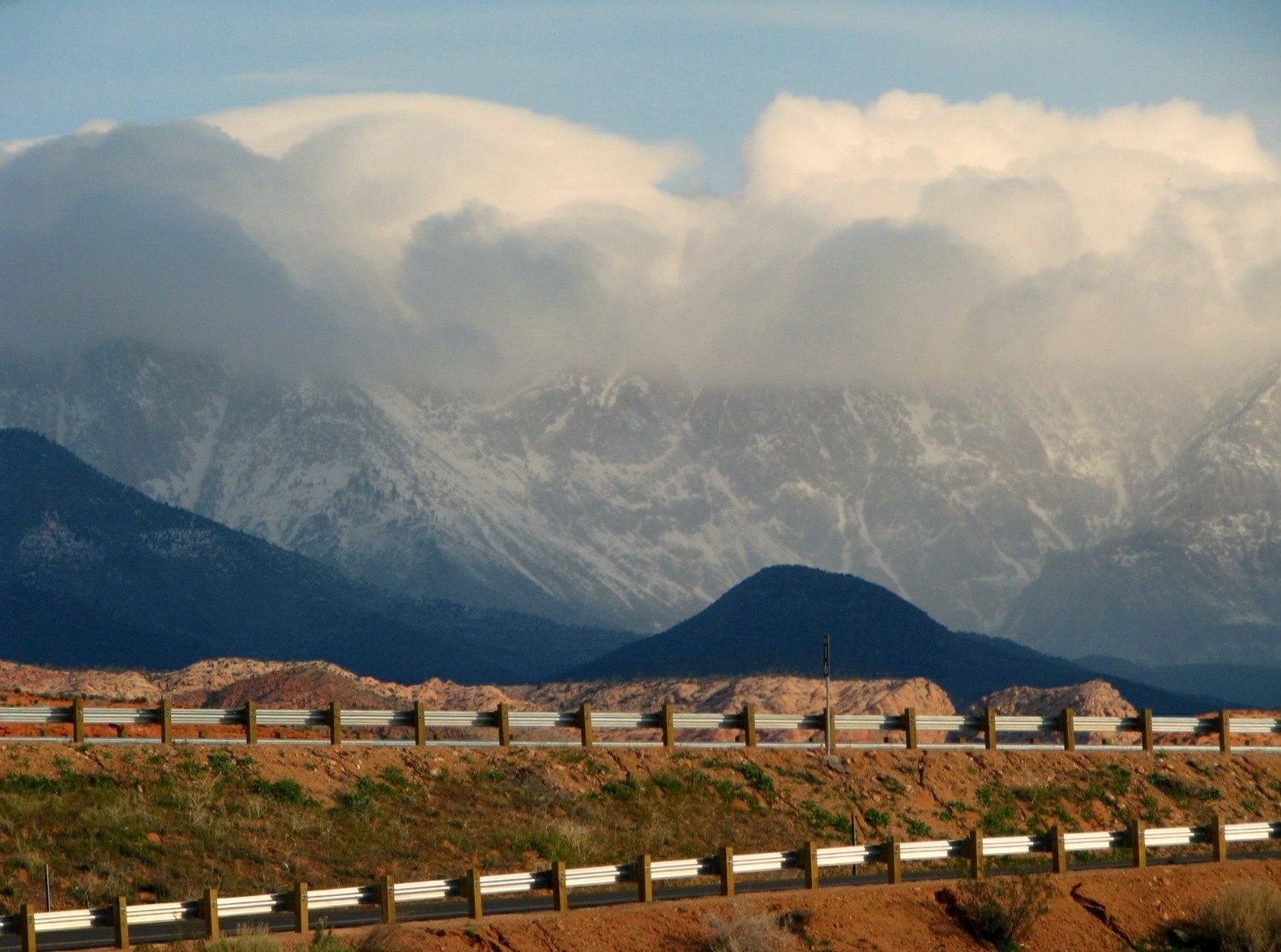
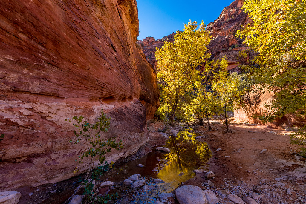
Related Photos:
a place to get lost

Moving Light

This is Somewhere
Brian Head Ski Trip, Mark, Chuck,
Pine Valley Mountains
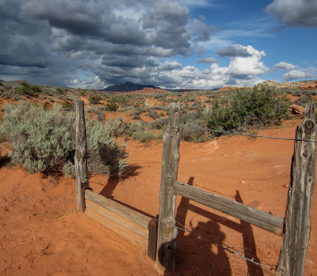
step-over gate
en route to ZION NATIONAL PARK ~ UTAH
Shades of Gold
Not stoked that I am working while on "vacation," but I certainly can't complain about this view. #pandainthedesert #mormoncountry #utah

Quail Creek Reservior
On the Road near St. George

Rainbow Sunset Panorama
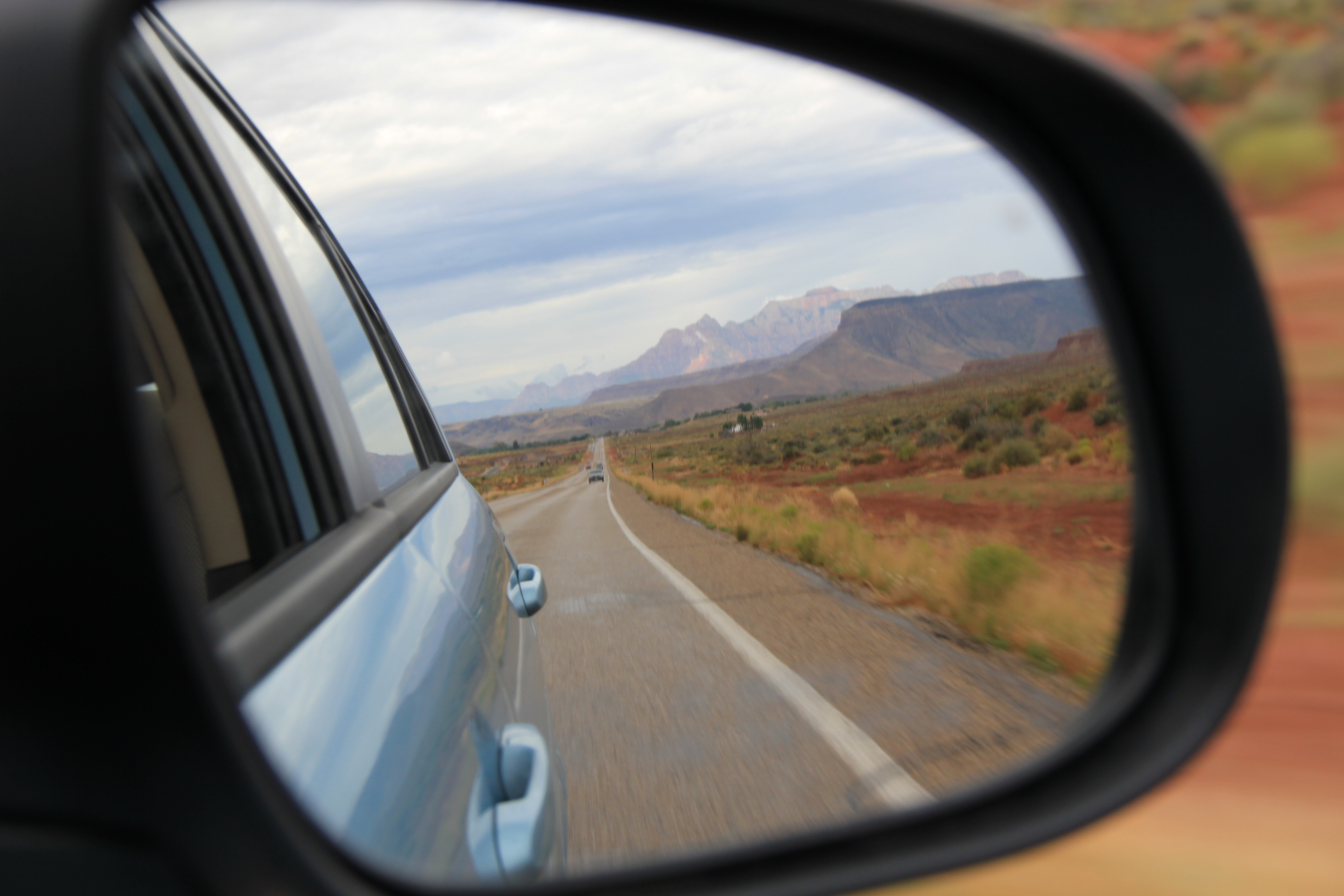
Rear-view mirror of Zion mountains
morning view
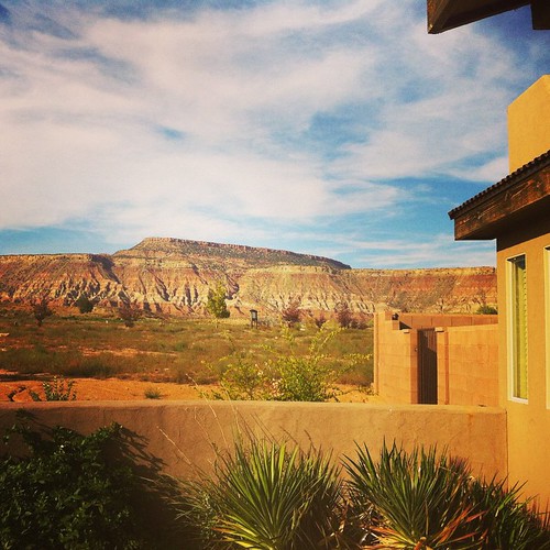
front porch with a view / #blm #southernutah #venus
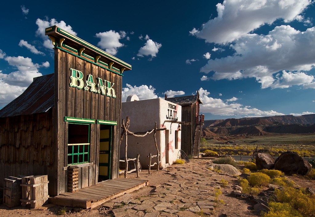
Ghost Town, Pt. 1
Creeping Shadows
D70-0704-007 - View
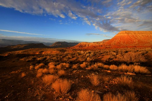
Golden Hour
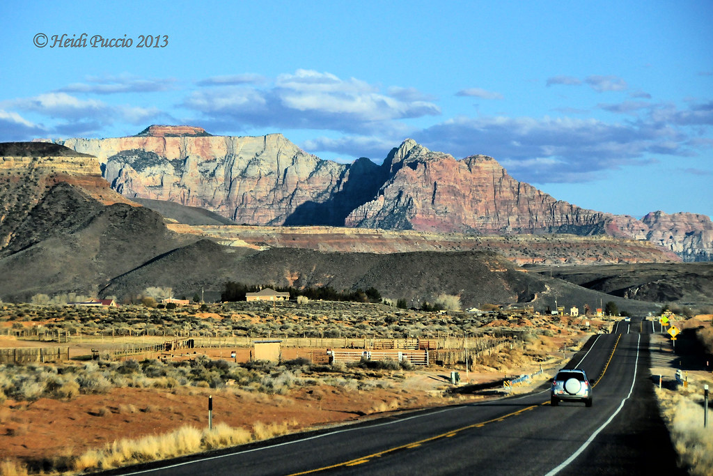
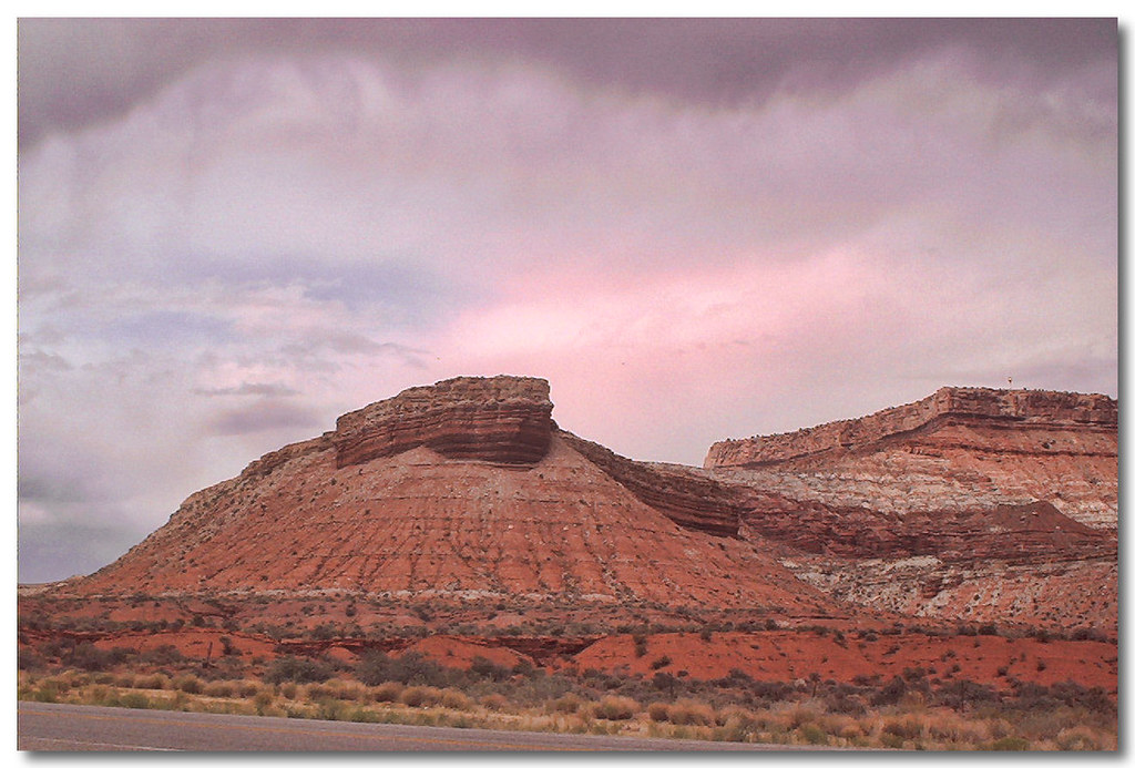
Sunset view along the Rt 59 to Hurricane Utah 10
Sunset view along the Rt 59 to Hurricane Utah 7
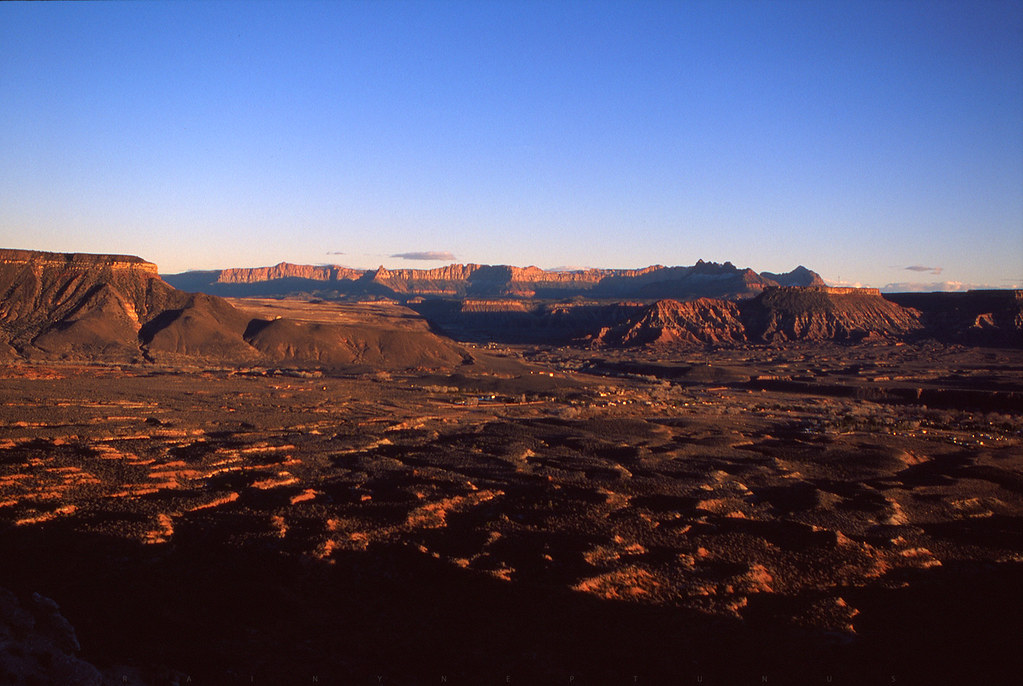
Hurricane Hills
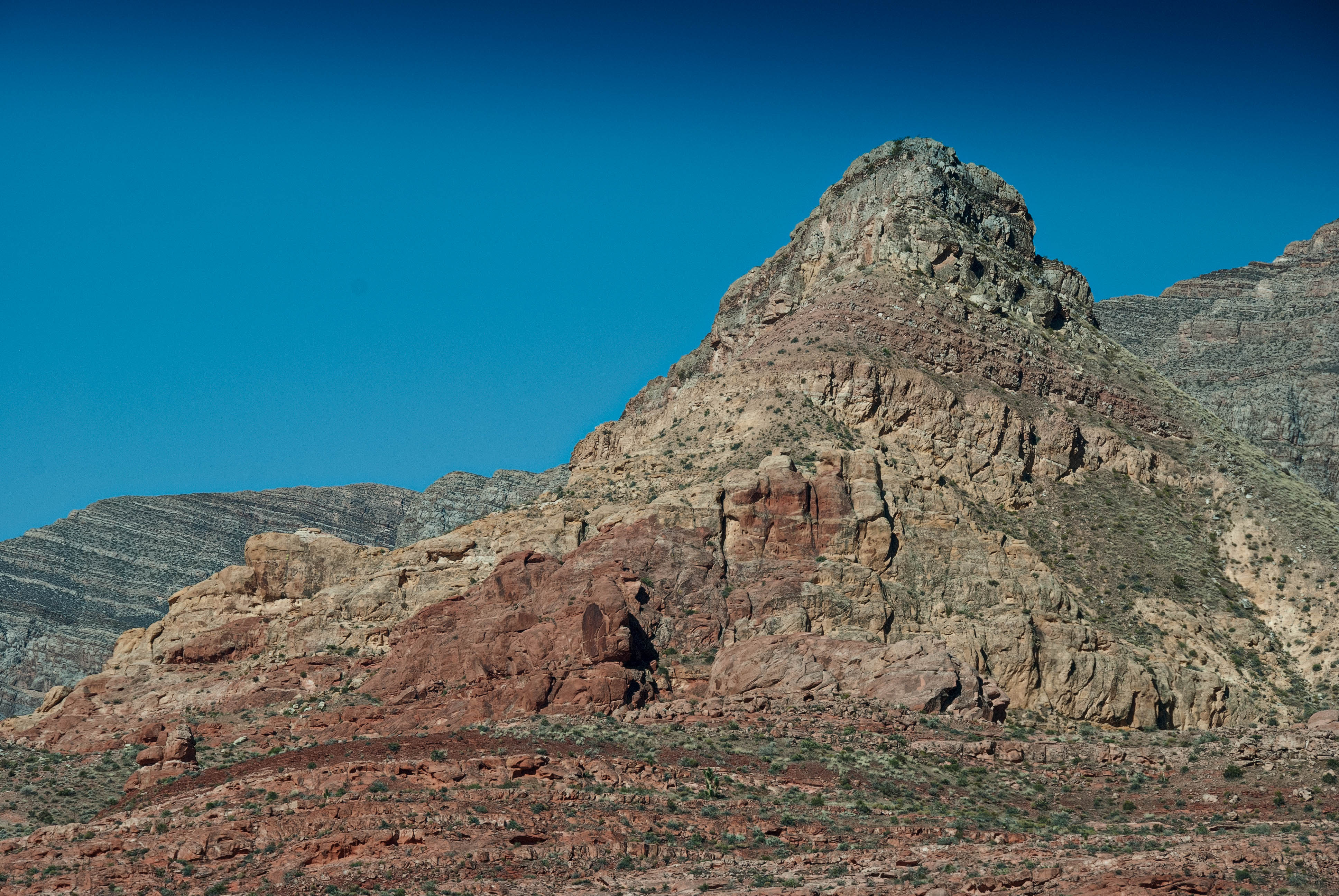
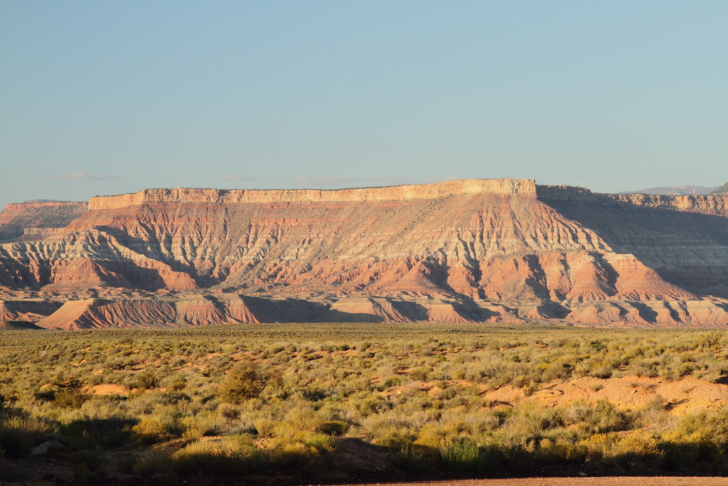
Hurricane Mesa
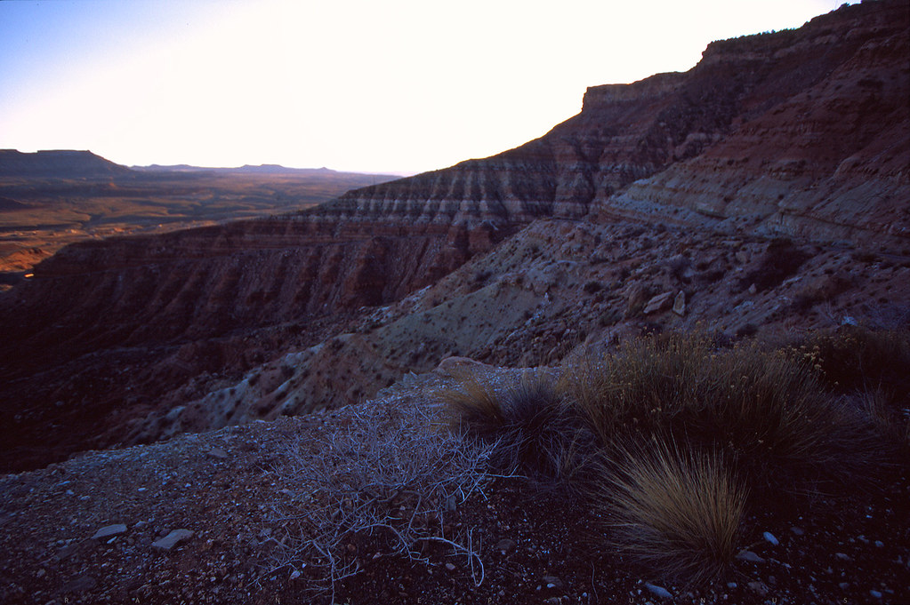
Hurricane Cliffs
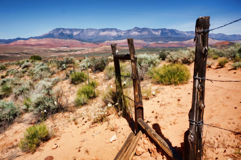
step over
Hurricane, Utah
On the Road, Nephi

Powerhouse in the morning
Red Cliffs Recreation Area
On our way to North Peak Trail. #dandyhop #southernutah

Reflections in the Virgin River
I'm like ... WoW!
Scenic Highway
Red Cliffs in Utah

Gorge.

Utah 9
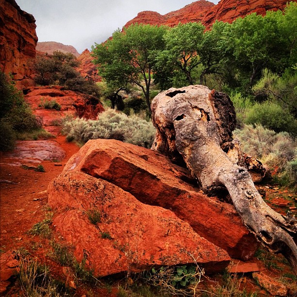
The elephant tree
and another one

Expanse.
Topographic Map of W S, Hurricane, UT, USA
Find elevation by address:

Places near W S, Hurricane, UT, USA:
2332 South 675 West
Hurricane
2491 S 3200 W
La Verkin
27 E 200 N #426
Sand Hollow Reservoir
3407 W 400 N
150 N 3700 W #72
150 N 3700 W #72
449 N 3420 W
101 E 500 N
Sand Hollow State Park
1357 Staghorn
The Beach At Sand Hollow
5800 Old Hwy 91
5662 West Clubhouse Drive
Toquerville
954 N Ocotillo Dr
1078 Catalpa Drive
1000 E Silver Shadows Dr
Recent Searches:
- Elevation of Congressional Dr, Stevensville, MD, USA
- Elevation of Bellview Rd, McLean, VA, USA
- Elevation of Stage Island Rd, Chatham, MA, USA
- Elevation of Shibuya Scramble Crossing, 21 Udagawacho, Shibuya City, Tokyo -, Japan
- Elevation of Jadagoniai, Kaunas District Municipality, Lithuania
- Elevation of Pagonija rock, Kranto 7-oji g. 8"N, Kaunas, Lithuania
- Elevation of Co Rd 87, Jamestown, CO, USA
- Elevation of Tenjo, Cundinamarca, Colombia
- Elevation of Côte-des-Neiges, Montreal, QC H4A 3J6, Canada
- Elevation of Bobcat Dr, Helena, MT, USA