Elevation of Sand Hollow State Park, Sand Hollow Rd, Hurricane, UT, USA
Location: United States > Utah > Hurricane >
Longitude: -113.38203
Latitude: 37.1199996
Elevation: 930m / 3051feet
Barometric Pressure: 91KPa
Elevation Map:
Satellite Map:
Related Photos:
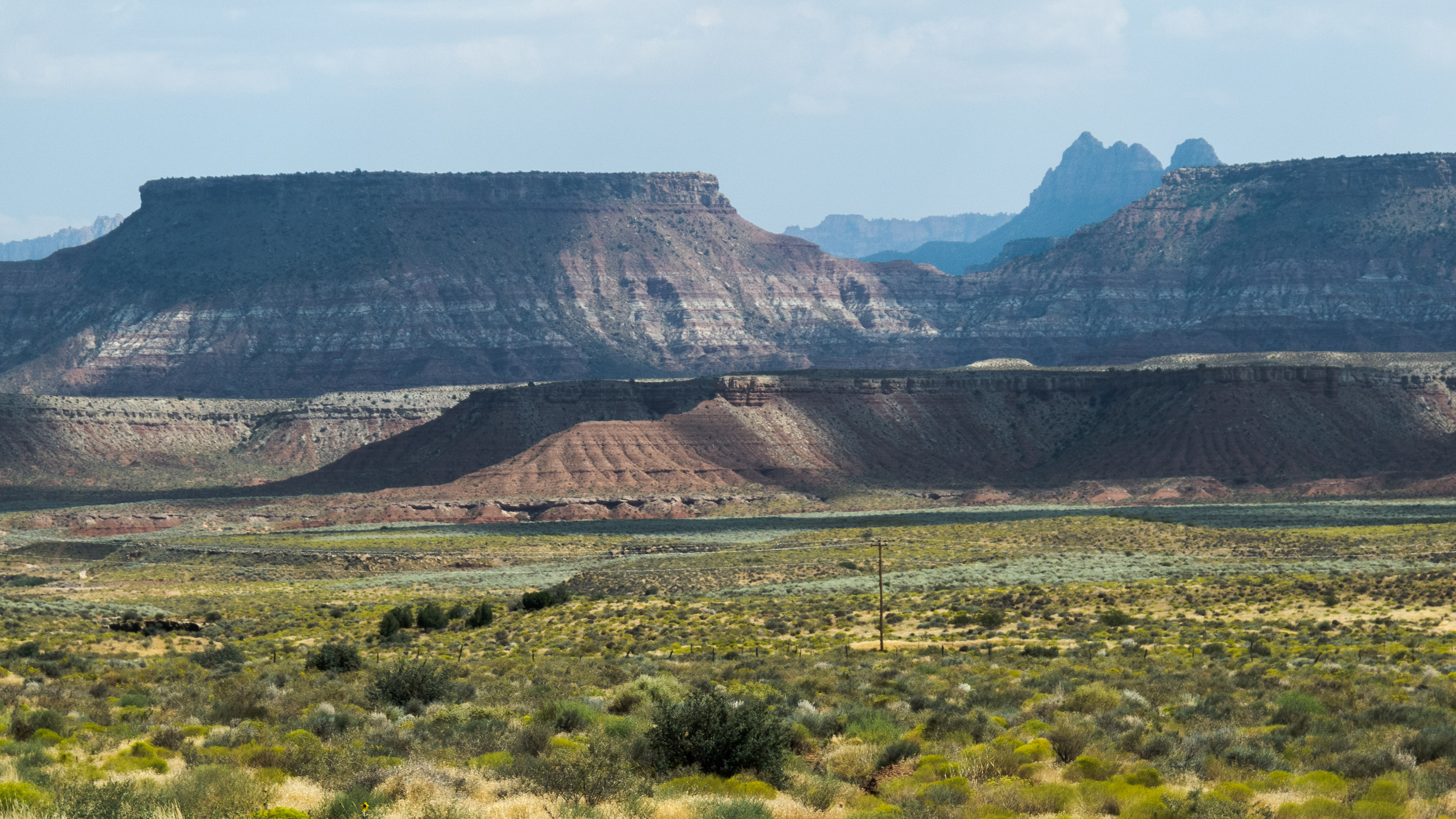
On the Road near St. George
a place to get lost
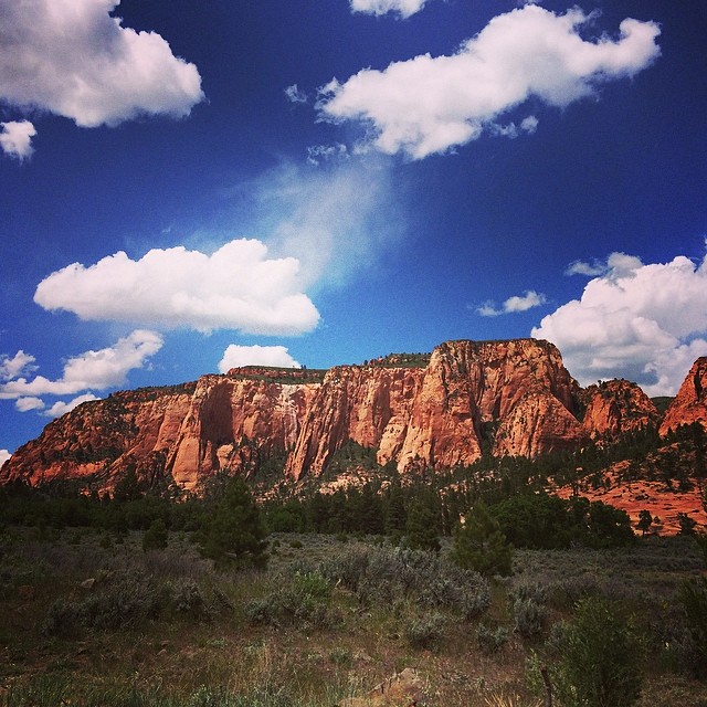
Pine Valley Mountains
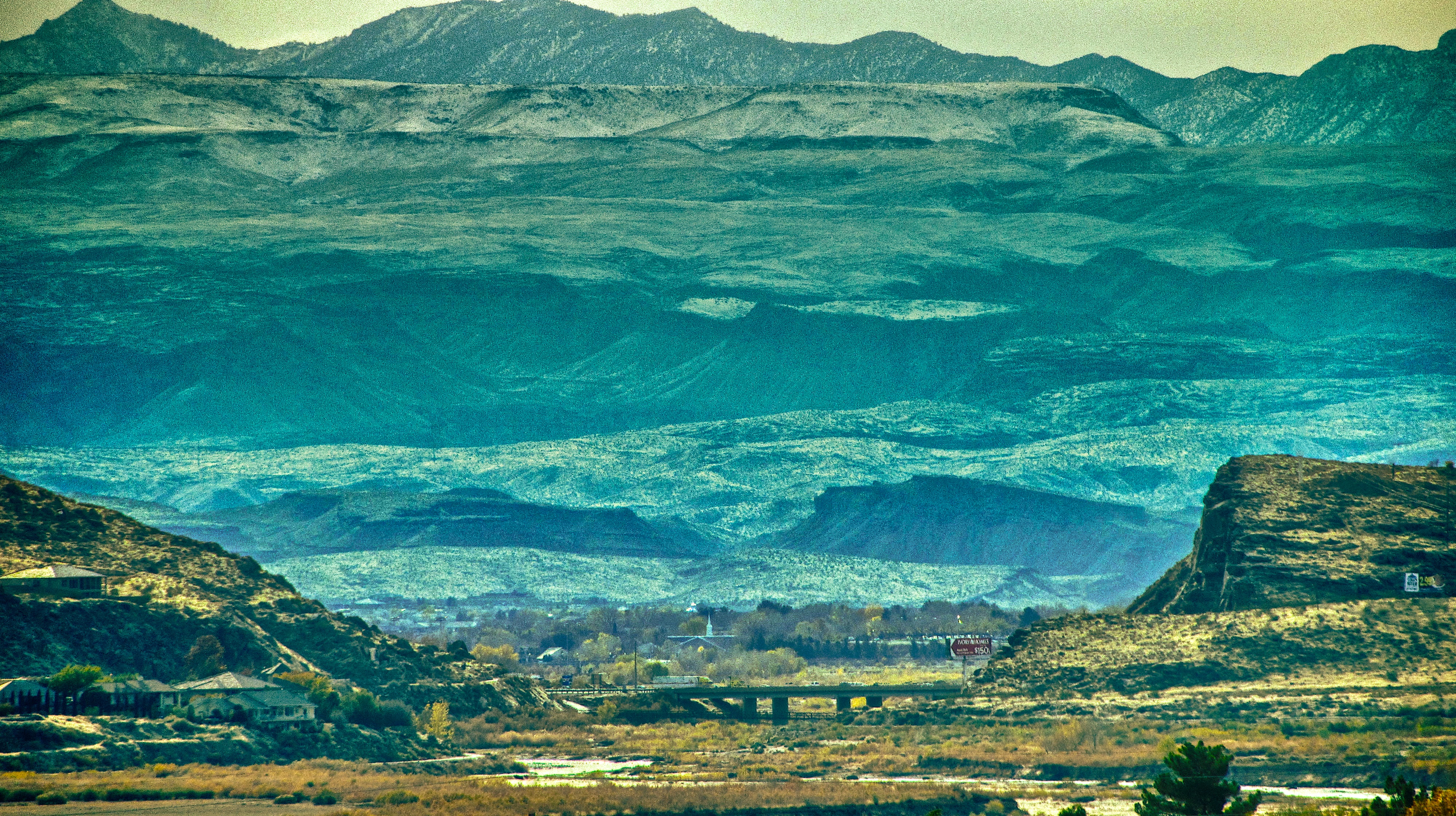
View from the hills near my parents' home in Utah
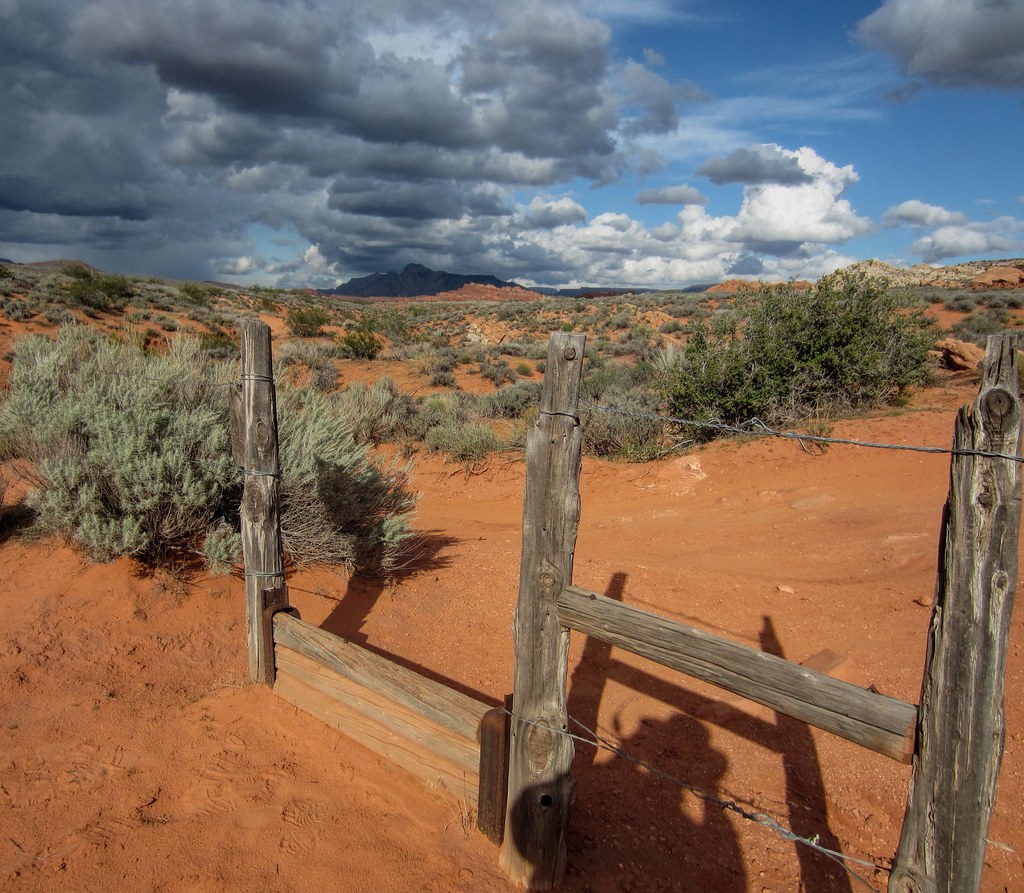
step-over gate
Afternoon out the window
The View

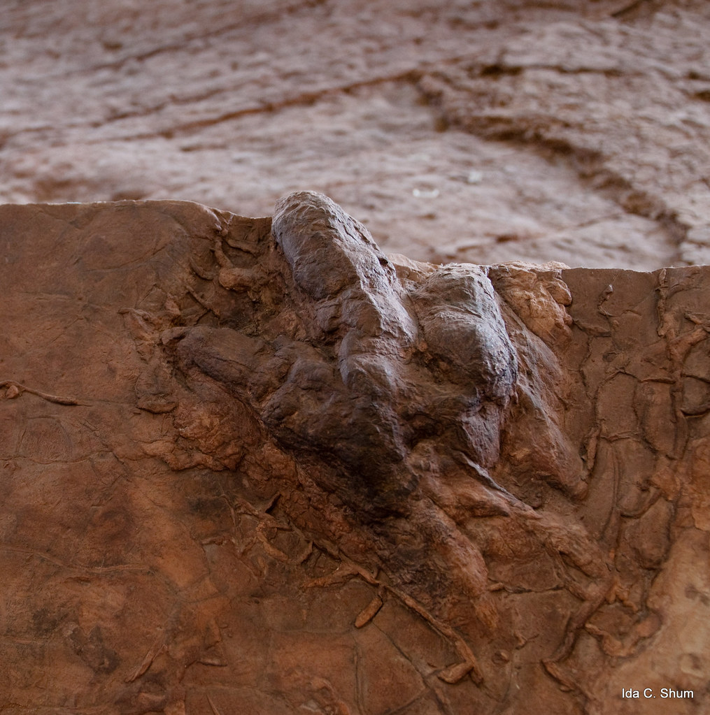
Pearly Whites for the Dinosaur Enthusiast!

Moving Light
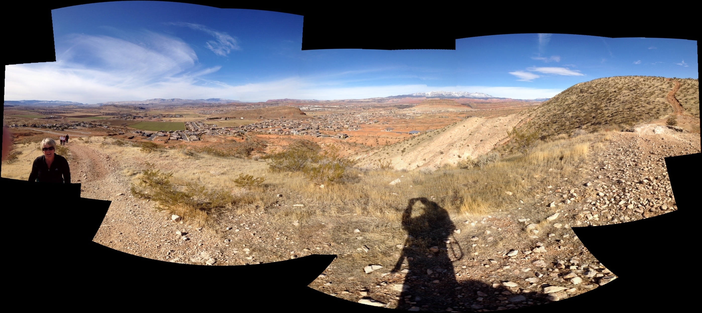
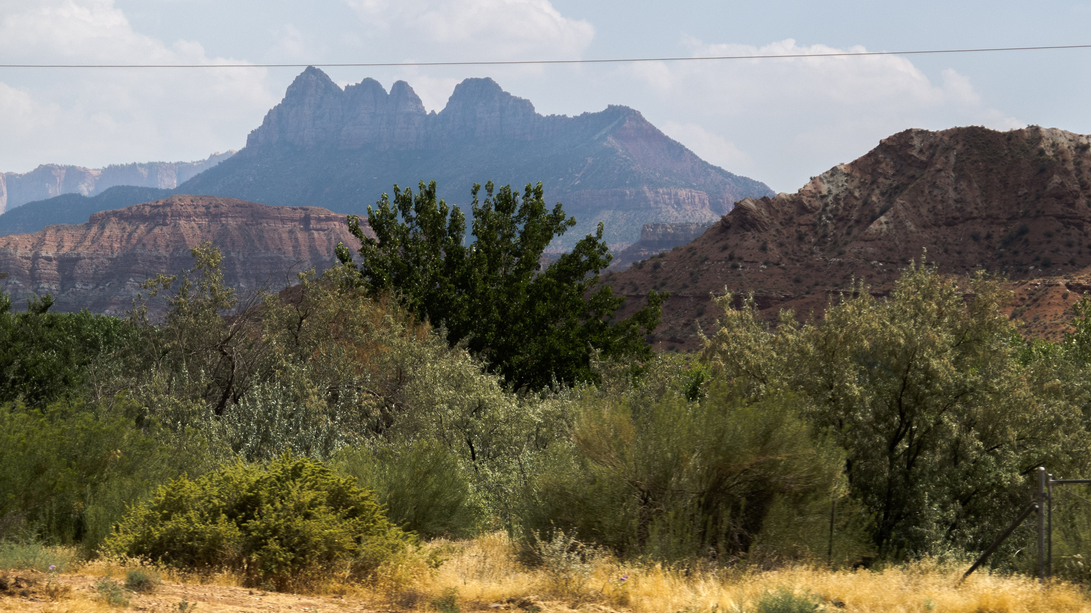
from Mollie's Nipple

Quail Creek Reservior
up & down
starting up Mollie's
A step in the right direction
morning view
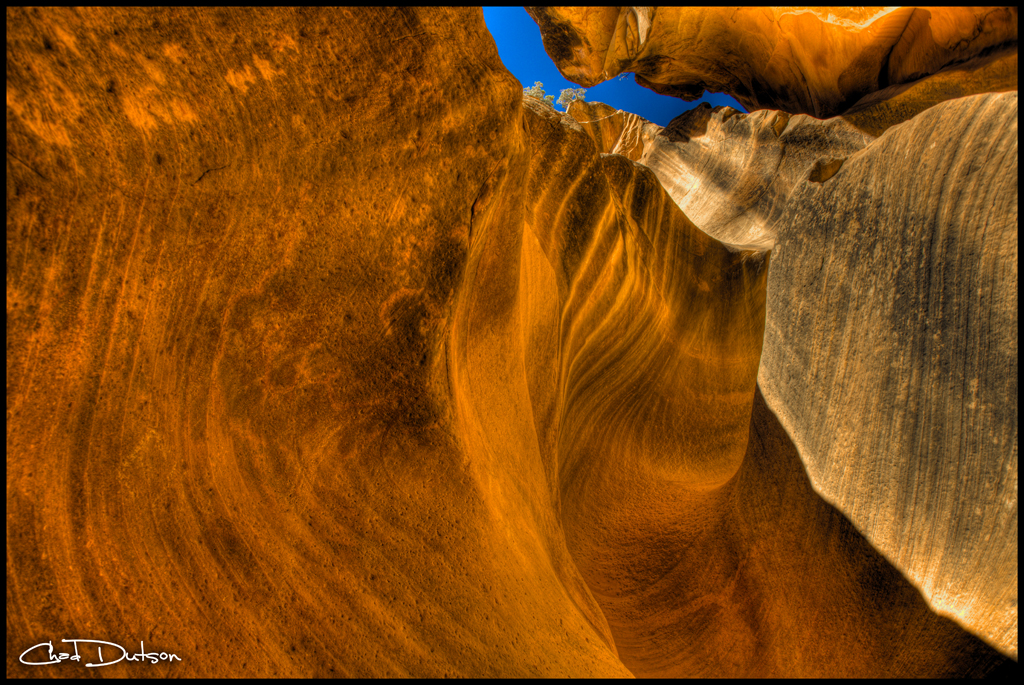
Looking Up a Slot | 1011-1-5770

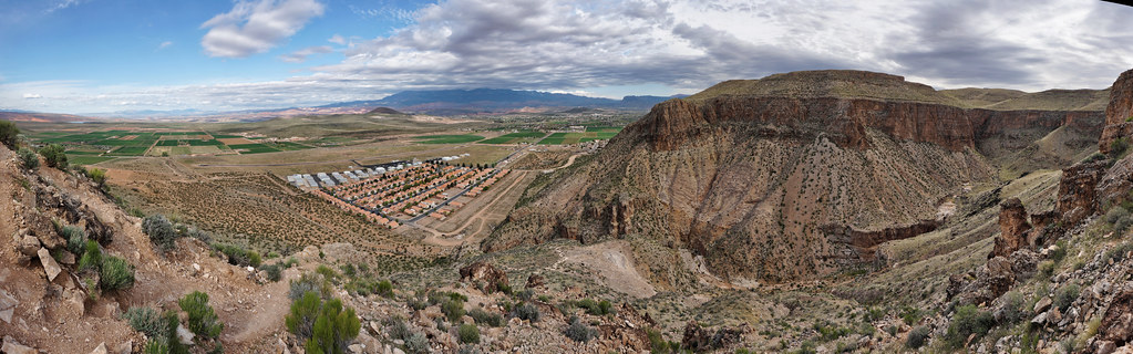
Hurricane, UT (3D)
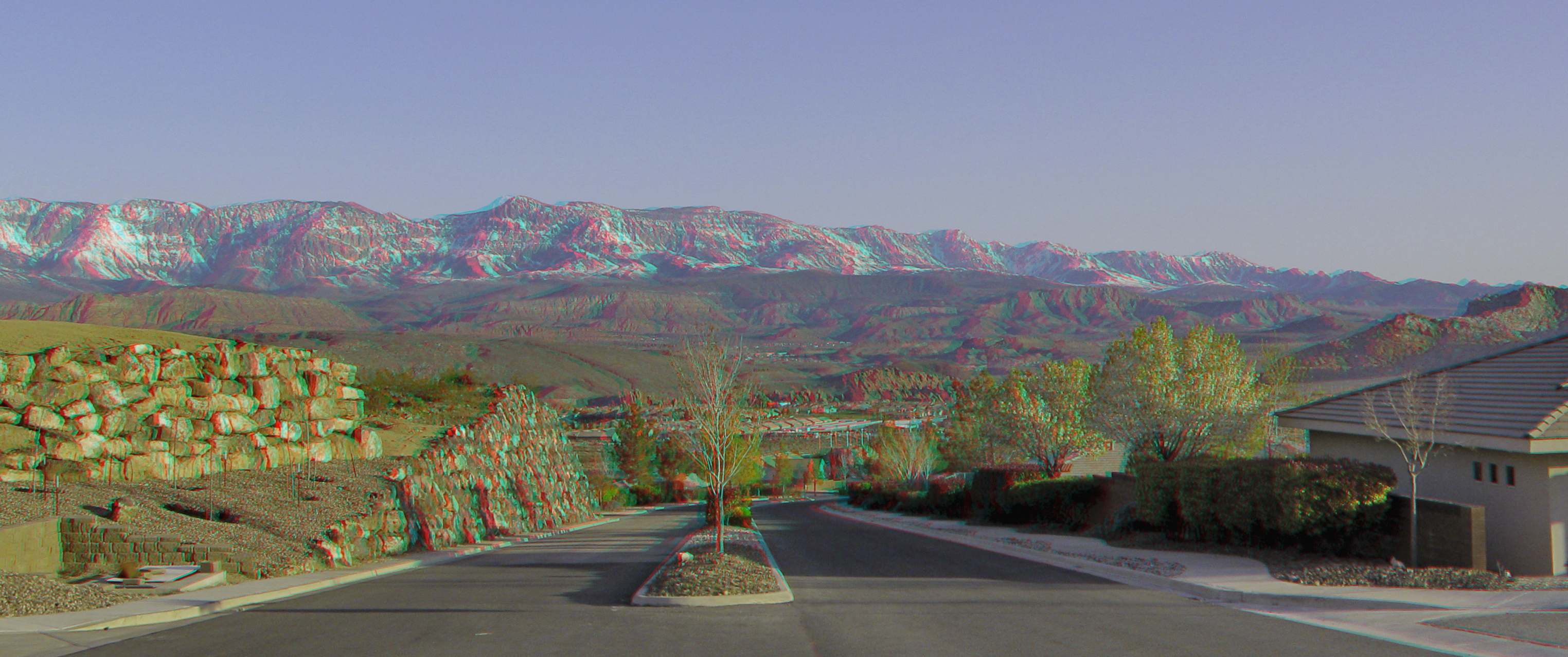
Hurricane, UT (3D)
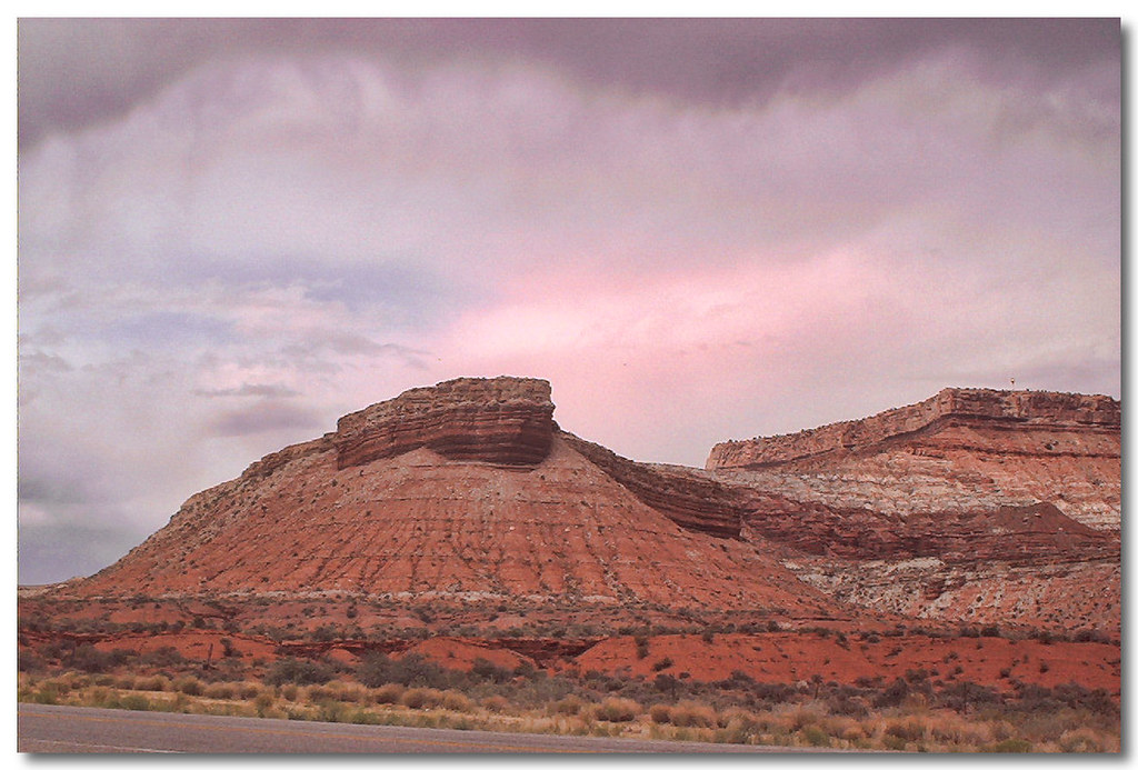
Sunset view along the Rt 59 to Hurricane Utah 10
Sunset view along the Rt 59 to Hurricane Utah 7

This is Somewhere

In the middle of a hurricane

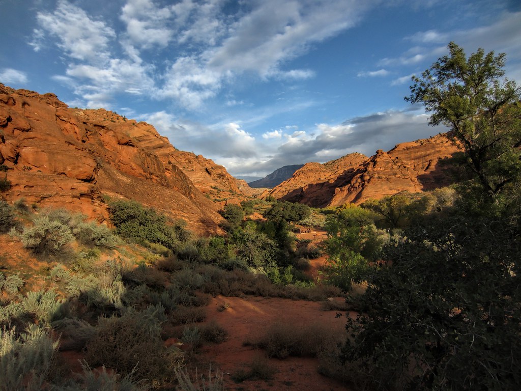
Red Cliffs Nat. Conservation Area, St. George, Utah
2011-08-30-144350_vom Valley of Fire zum Zion NP

2011-08-30-145341_vom Valley of Fire zum Zion NP
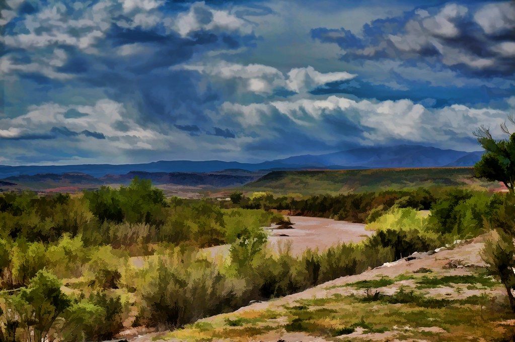
weather, Virgin River
2011-08-30-144912_vom Valley of Fire zum Zion NP

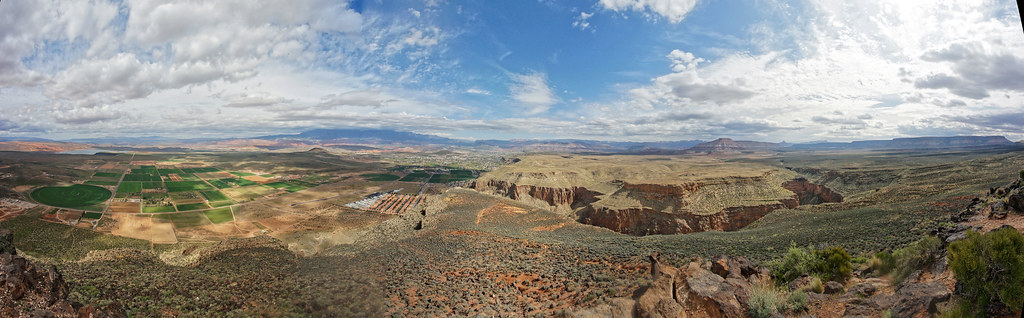
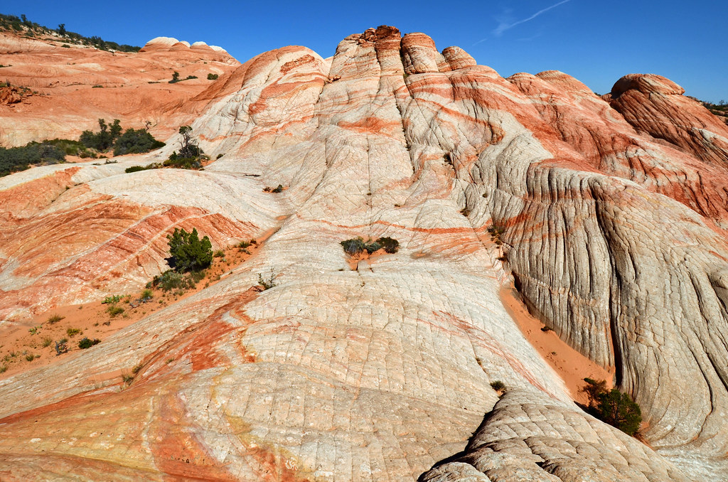
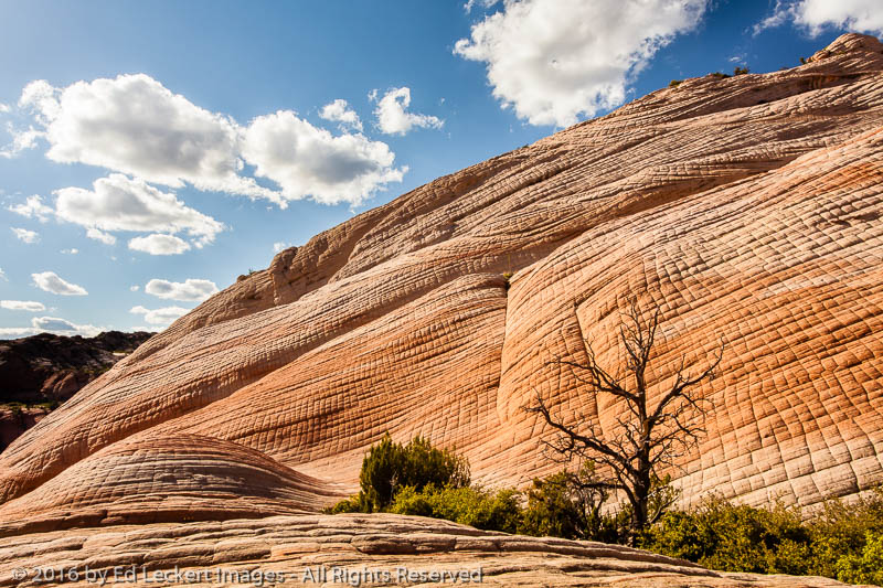
Yant Flat Panorama
Yant Flat
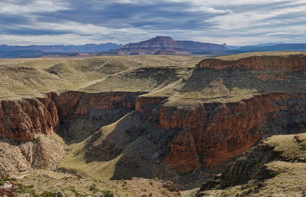
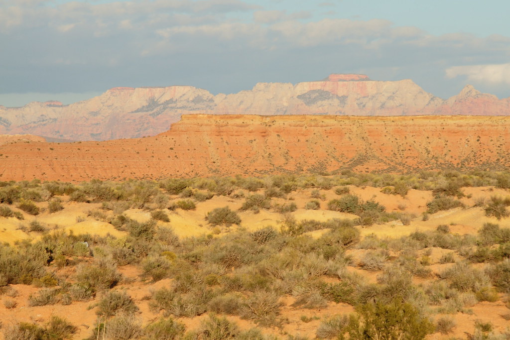
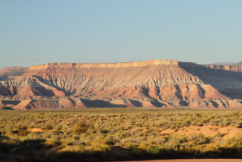
Hurricane Mesa
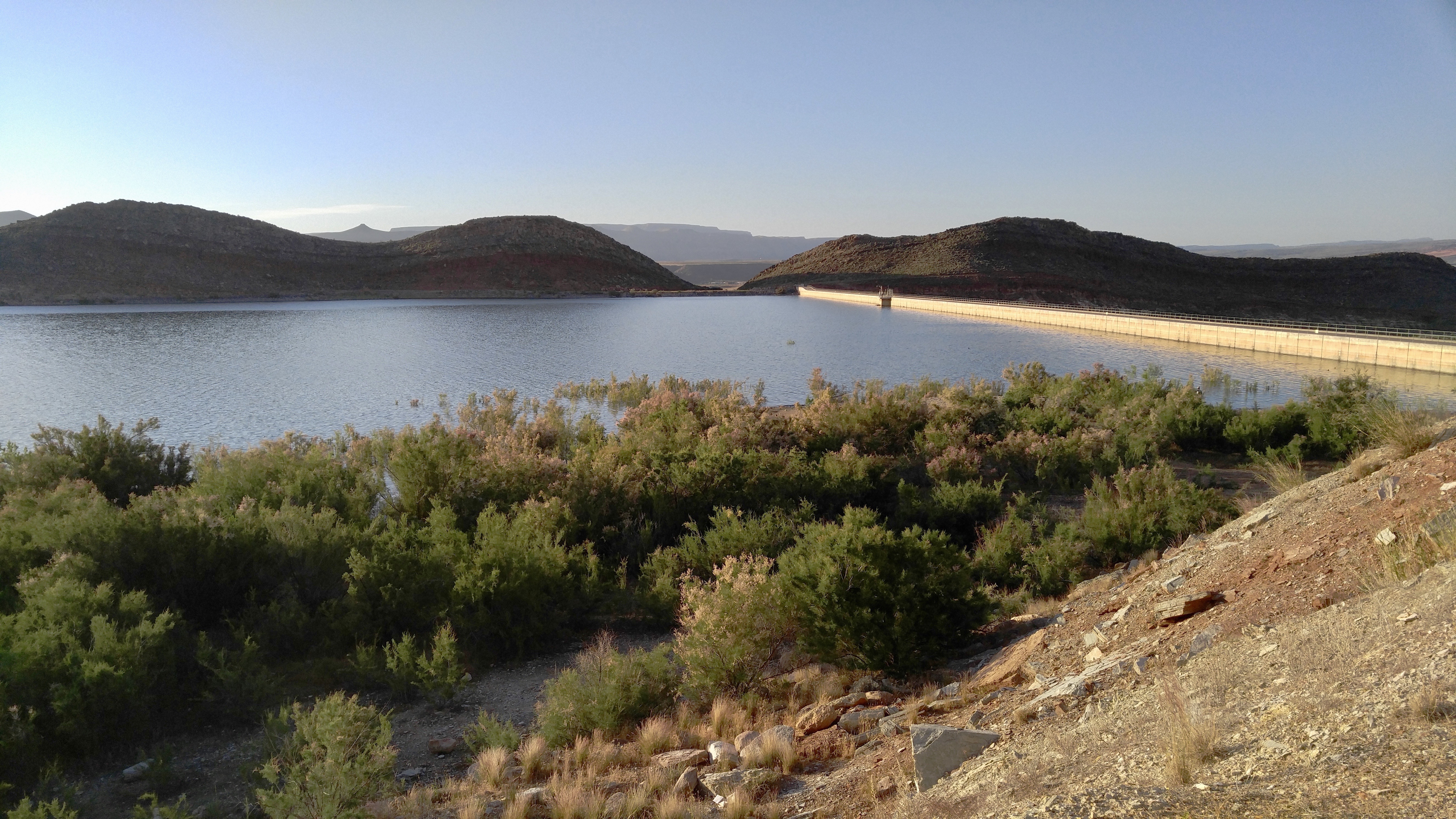
Quail Creek Reservoir

Yant Flat
On the Road, Nephi

Yant Flat ...again.... yes, I really liked this hike!

Looking down the cliff
Tree and Texture, Yant Flat, Utah

Arizona (États-Unis)

Powerhouse in the morning
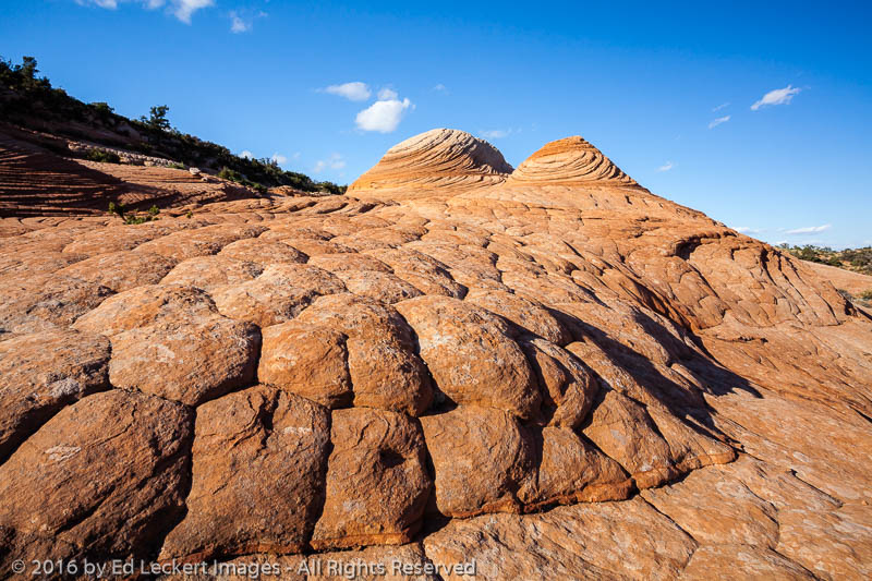
Two Domes, Yant Flat, Utah
On our way to North Peak Trail. #dandyhop #southernutah
Topographic Map of Sand Hollow State Park, Sand Hollow Rd, Hurricane, UT, USA
Find elevation by address:

Places near Sand Hollow State Park, Sand Hollow Rd, Hurricane, UT, USA:
Sand Hollow Reservoir
The Beach At Sand Hollow
2491 S 3200 W
5662 West Clubhouse Drive
150 N 3700 W #72
150 N 3700 W #72
3407 W 400 N
449 N 3420 W
749 W 2500 S
2332 South 675 West
5800 Old Hwy 91
954 N Ocotillo Dr
1078 Catalpa Drive
Hurricane
1000 E Silver Shadows Dr
Elephant Arch
E Telegraph St, Washington, UT, USA
Washington
158 N Main St
3172 Deseret Dr
Recent Searches:
- Elevation of Congressional Dr, Stevensville, MD, USA
- Elevation of Bellview Rd, McLean, VA, USA
- Elevation of Stage Island Rd, Chatham, MA, USA
- Elevation of Shibuya Scramble Crossing, 21 Udagawacho, Shibuya City, Tokyo -, Japan
- Elevation of Jadagoniai, Kaunas District Municipality, Lithuania
- Elevation of Pagonija rock, Kranto 7-oji g. 8"N, Kaunas, Lithuania
- Elevation of Co Rd 87, Jamestown, CO, USA
- Elevation of Tenjo, Cundinamarca, Colombia
- Elevation of Côte-des-Neiges, Montreal, QC H4A 3J6, Canada
- Elevation of Bobcat Dr, Helena, MT, USA