Elevation of S W, Hurricane, UT, USA
Location: United States > Utah > Hurricane >
Longitude: -113.36281
Latitude: 37.1382119
Elevation: 909m / 2982feet
Barometric Pressure: 91KPa
Elevation Map:
Satellite Map:
Related Photos:

Dragon's Tail Sunset

Fort Pearce view

Pine Valley Mountains

Facing East

en route to ZION NATIONAL PARK ~ UTAH

Grand Staircase–Escalante National Monument

back down, then continuing up

Rear-view mirror of Zion mountains

snack stop spot

redrock country

Sand Mountain bookmark

Panorama from Big Sandstone mountain in Hurricane Utah
up & down

View from the hills near my parents' home in Utah

starting up Mollie's

Shades of Gold

step-over gate

Southwest Desert to view the Blood Moon

a place to get lost

Moving Light

from Mollie's Nipple

Layers of Colors

Yant Flat Conception Cliffs

Wilderness Hiker

gnarly trees
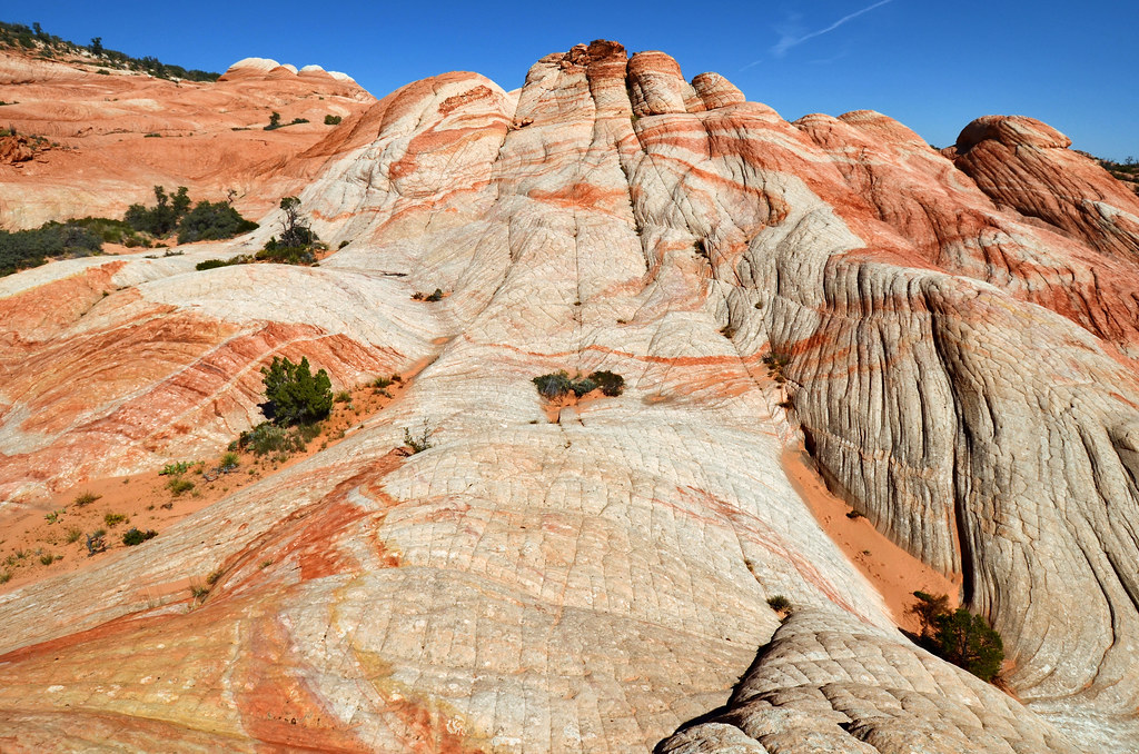
Yant Flat

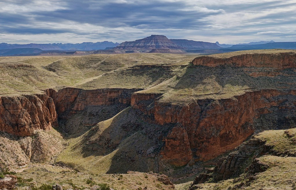
Hurricane Mesa

higher than the bookmark version

Natural pavement

Sky over St. George

Red Cliffs Waterfall

Elephant Arch Sandstone Mountain

Extinct Volcano Crater

A touch of snow on the power house

great stone face

Sherpa....and...Scout

Quail Creek

Yant Flat Quilted Rocks
Topographic Map of S W, Hurricane, UT, USA
Find elevation by address:

Places near S W, Hurricane, UT, USA:
Sand Hollow State Park
Sand Hollow Reservoir
150 N 3700 W #72
150 N 3700 W #72
3407 W 400 N
449 N 3420 W
The Beach At Sand Hollow
5662 West Clubhouse Drive
749 W 2500 S
2332 South 675 West
5800 Old Hwy 91
Hurricane
La Verkin
27 E 200 N #426
954 N Ocotillo Dr
1078 Catalpa Drive
101 E 500 N
1357 Staghorn
1000 E Silver Shadows Dr
Elephant Arch
Recent Searches:
- Elevation of Congressional Dr, Stevensville, MD, USA
- Elevation of Bellview Rd, McLean, VA, USA
- Elevation of Stage Island Rd, Chatham, MA, USA
- Elevation of Shibuya Scramble Crossing, 21 Udagawacho, Shibuya City, Tokyo -, Japan
- Elevation of Jadagoniai, Kaunas District Municipality, Lithuania
- Elevation of Pagonija rock, Kranto 7-oji g. 8"N, Kaunas, Lithuania
- Elevation of Co Rd 87, Jamestown, CO, USA
- Elevation of Tenjo, Cundinamarca, Colombia
- Elevation of Côte-des-Neiges, Montreal, QC H4A 3J6, Canada
- Elevation of Bobcat Dr, Helena, MT, USA