Elevation of West Clubhouse Drive, Hurricane, UT, USA
Location: United States > Utah > Hurricane >
Longitude: -113.41440
Latitude: 37.1145306
Elevation: 938m / 3077feet
Barometric Pressure: 91KPa
Elevation Map:
Satellite Map:
Related Photos:

Anasazi Shadows
a place to get lost
Afternoon out the window
The View

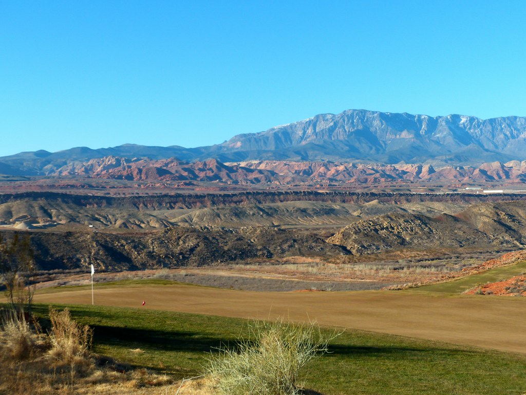
Sand Hollow #14 d - view back r

Quail Creek Reservior
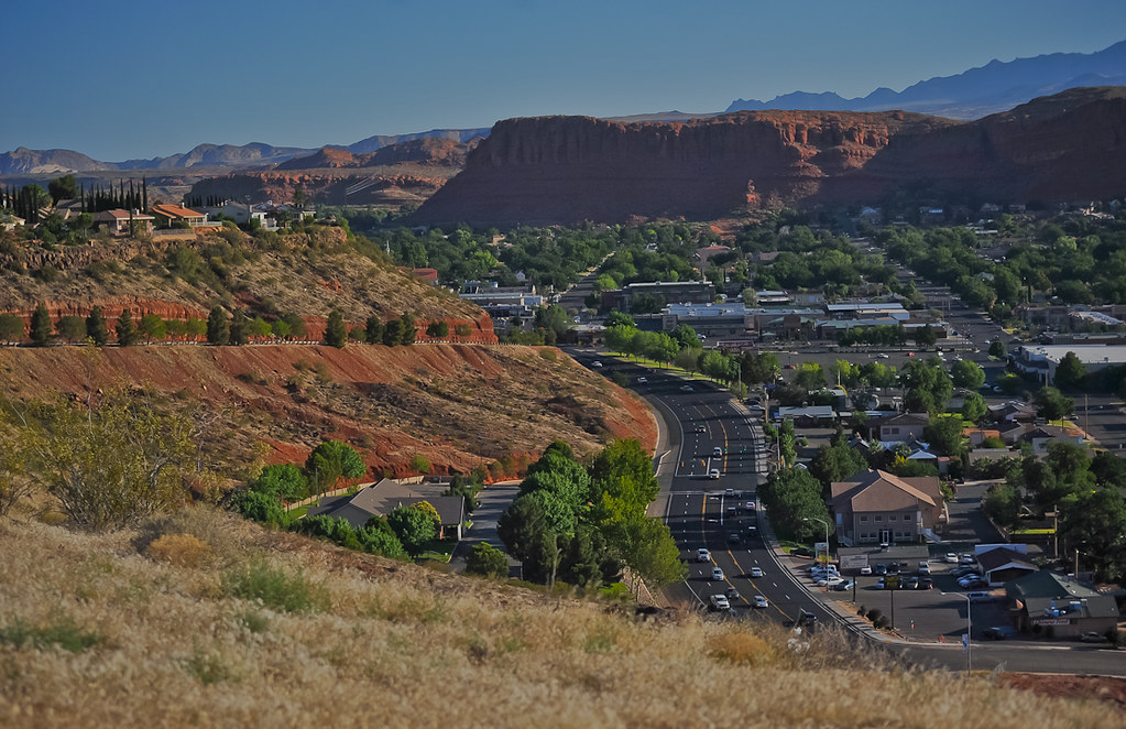
On the Road to St. George
Sand Hollow #11 view from left side of green r

Dragon's Tail Sunset
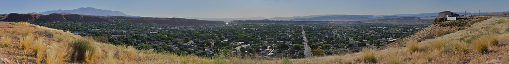
airport road panorama
What goes up must come down. Spinning wheel got to go round.

Brian Head Ski Trip, Mark, Chuck,
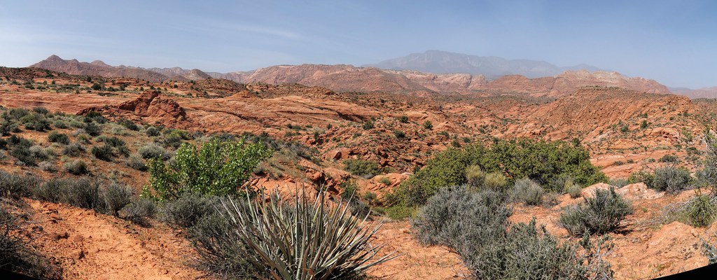
red hills parkway panorama

Sand Hollow #16 c= view back r

view from Dixie Sugarloaf

Pine View High School

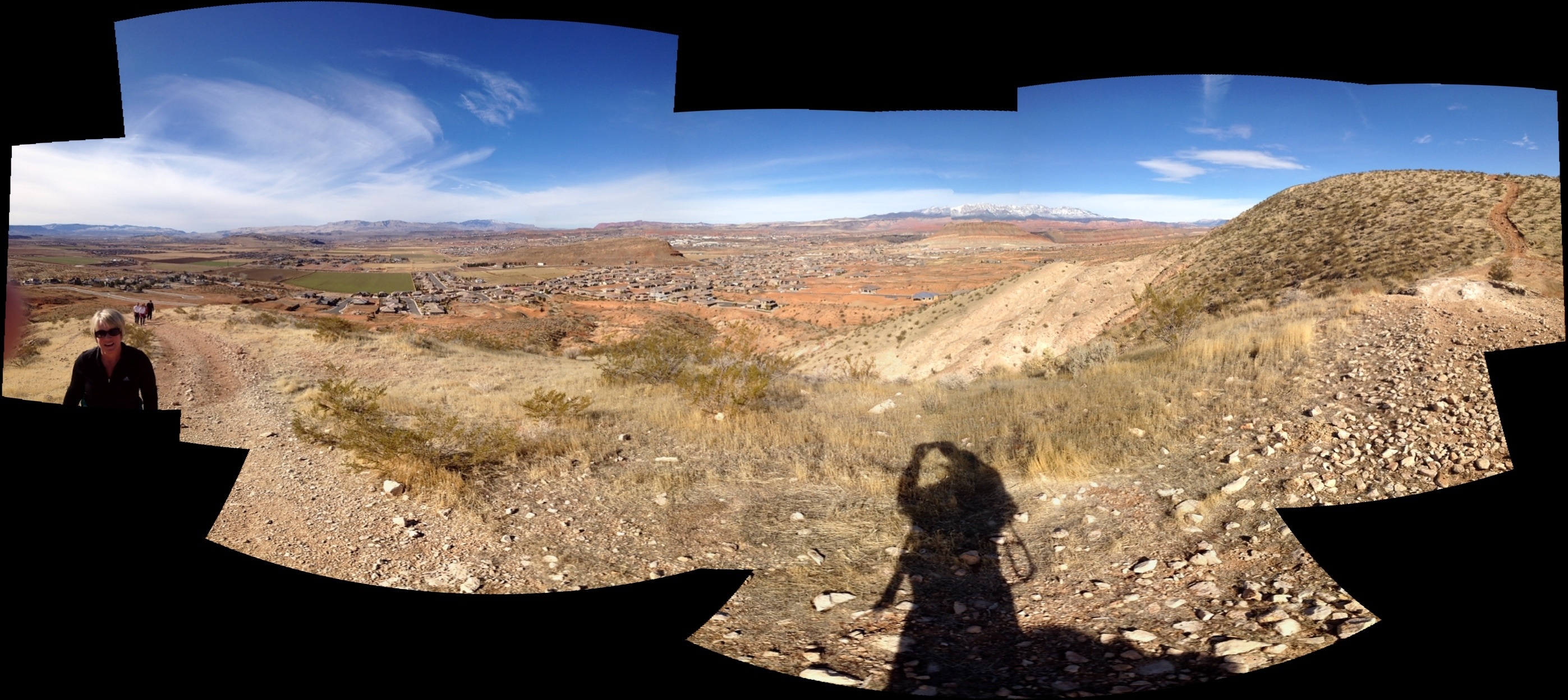
Pioneer Park View

Sand Hollow #10 d view back to fairway r

Pine View High School
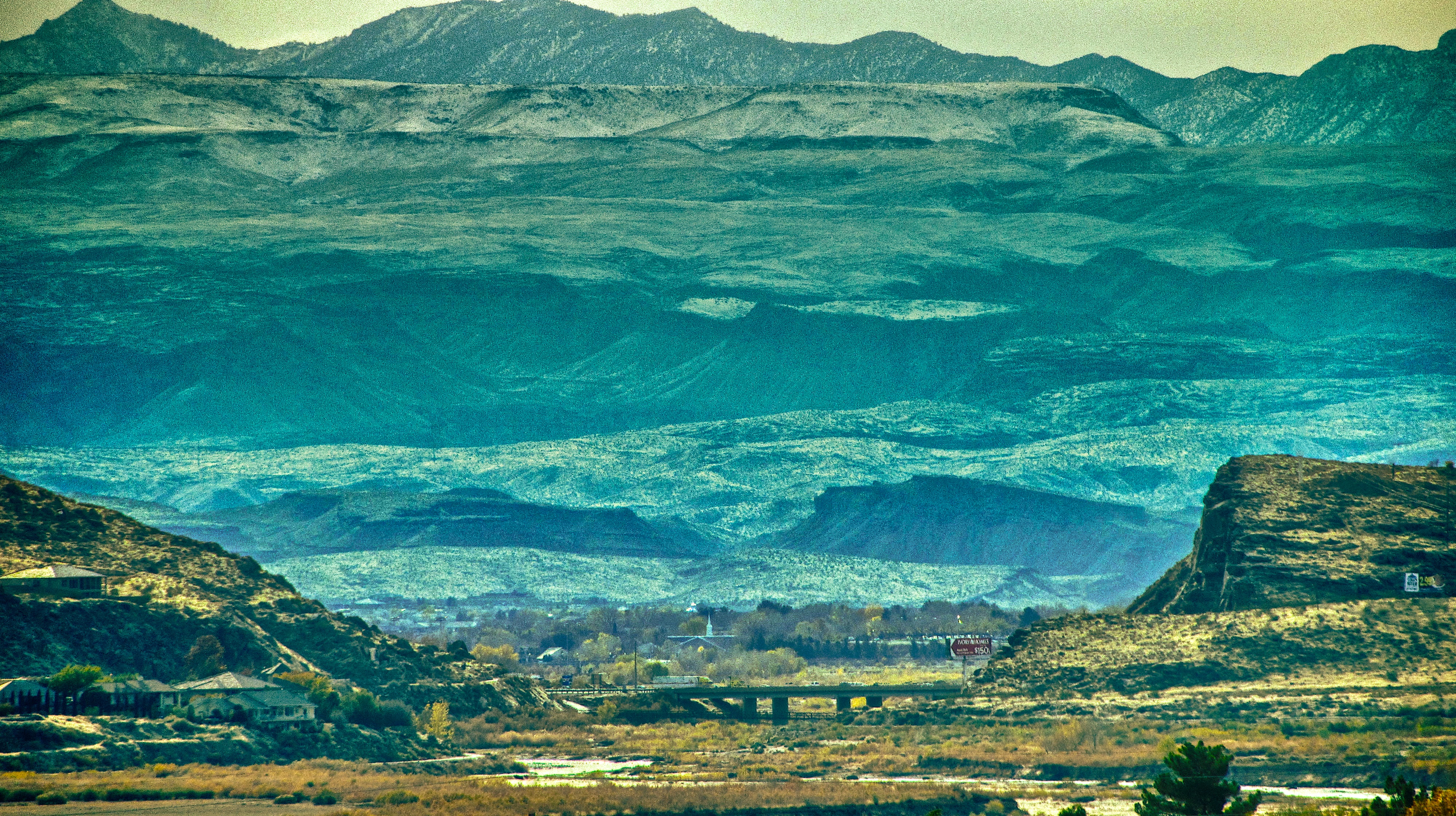
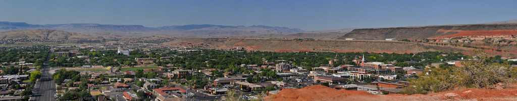
over south bluff street

Pine View High School

Red Cliffs Mountain Stream
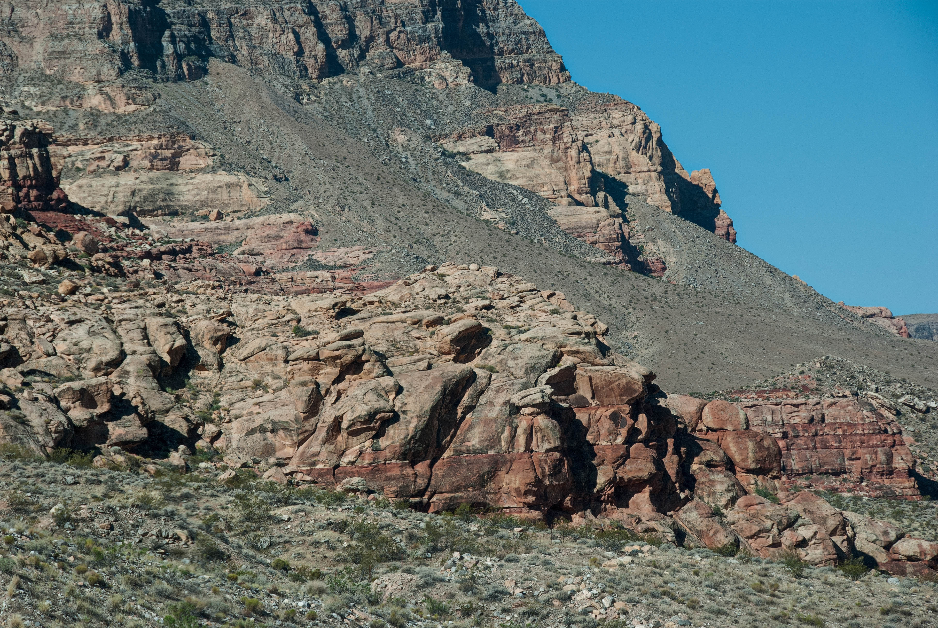
Red Rock

Airport Road. St. George, Utah

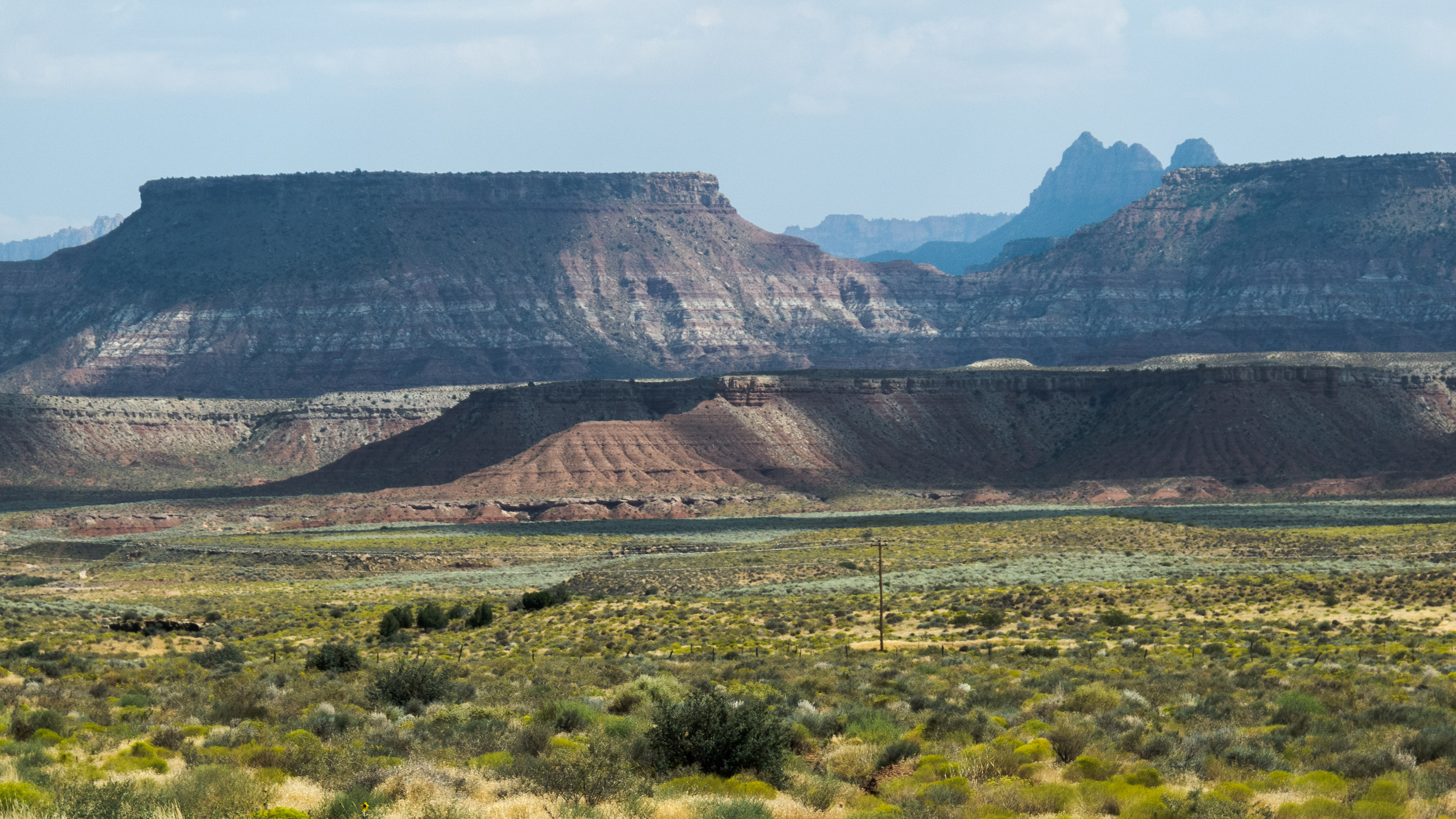
Pinevalley Mountain

W.C. St. George, Utah

Tree and Texture, Yant Flat, Utah

big D

Reflections in the Virgin River

Two Domes, Yant Flat, Utah

Quail Creek Reservoir, Quail Creek State Park, Utah
the grand elephant

Yant Flat Panorama
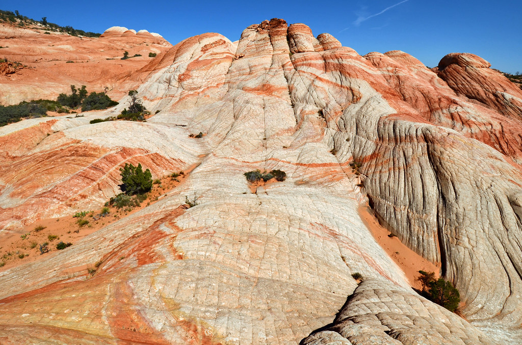
Yant Flat

In the middle of a hurricane

Powerhouse in the morning
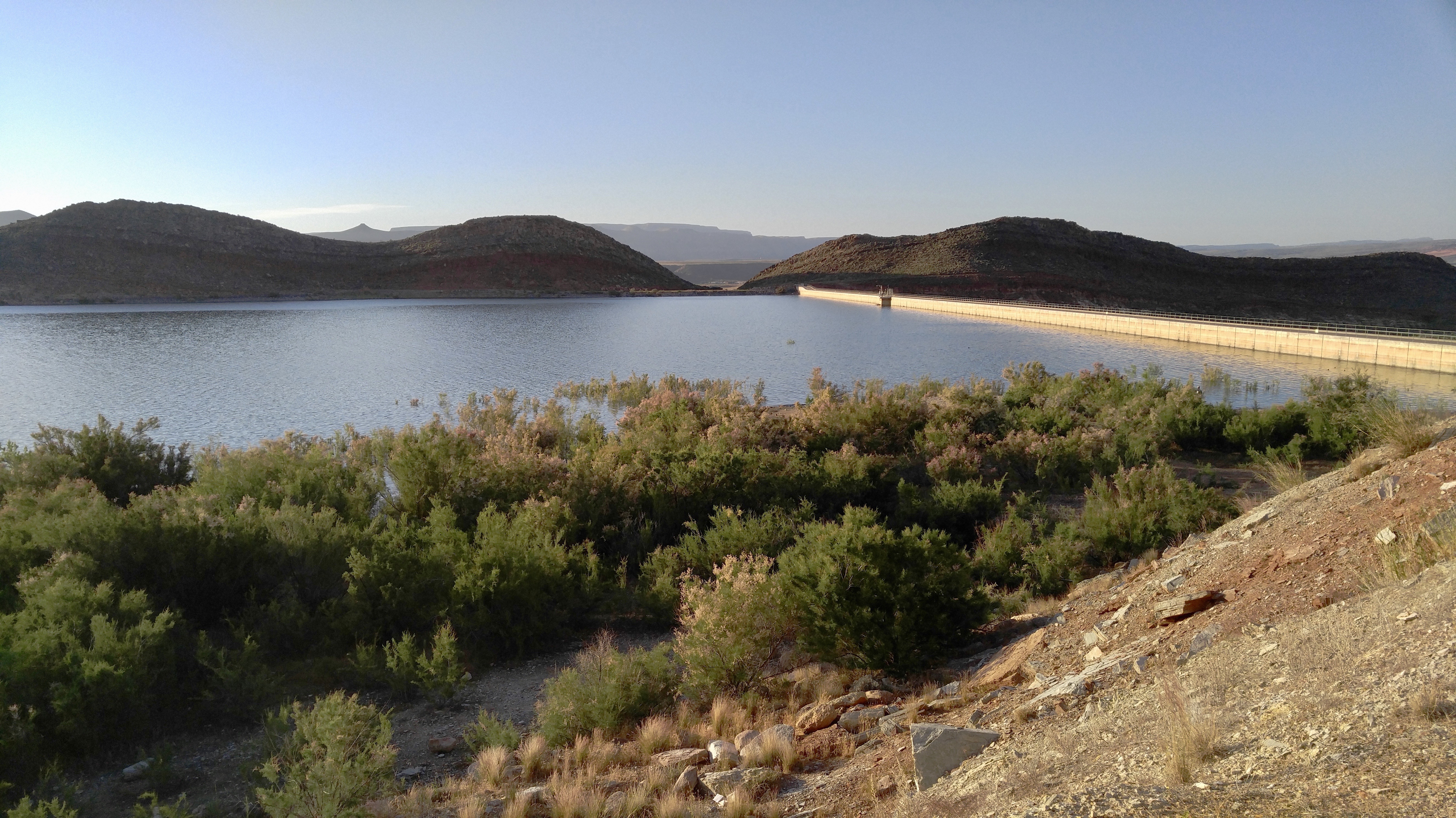
Quail Creek Reservoir
2011-08-30-144350_vom Valley of Fire zum Zion NP

2011-08-30-145341_vom Valley of Fire zum Zion NP
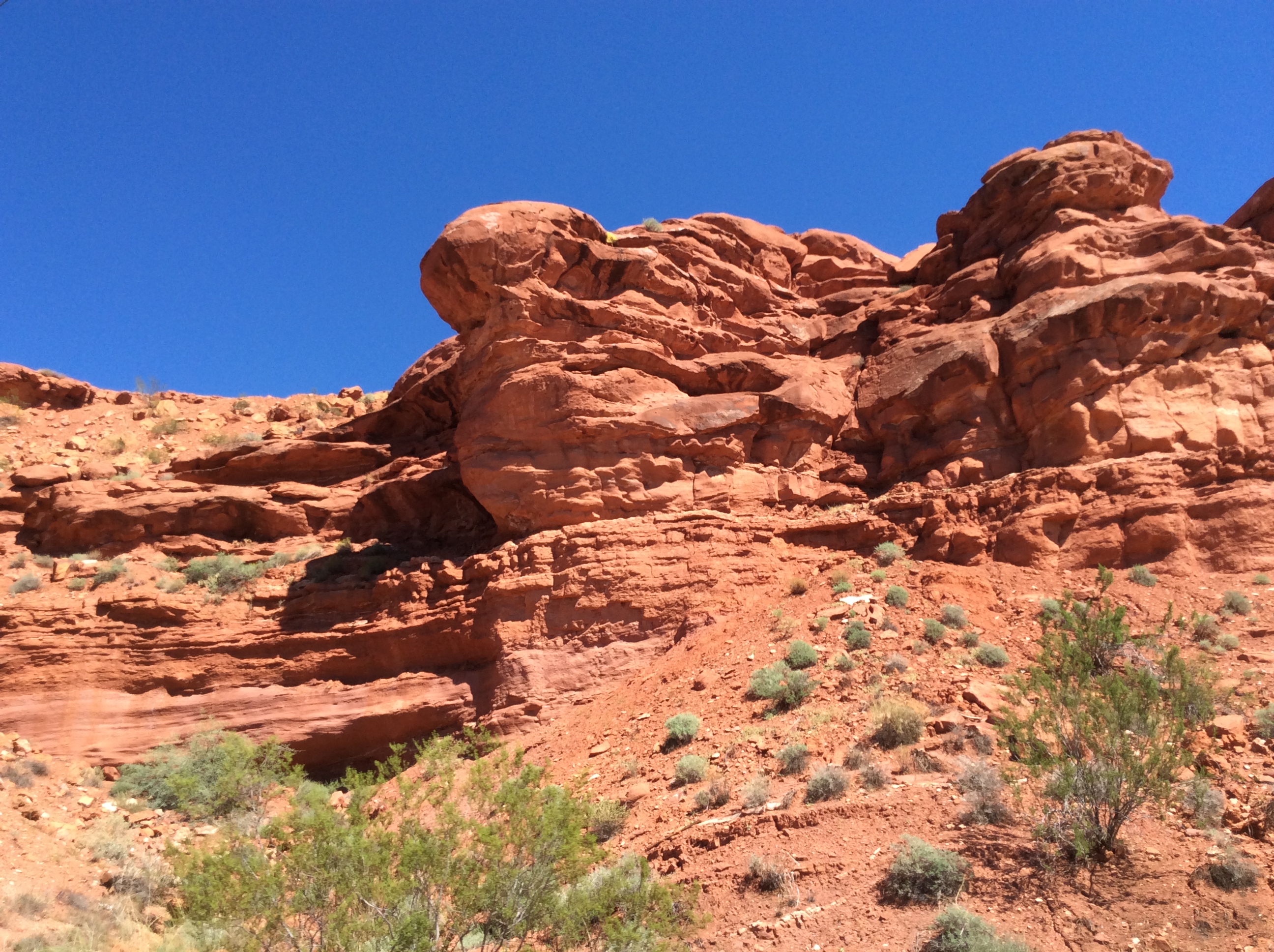
Red Rock

I love this section of Road.

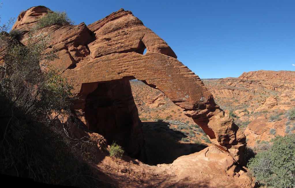
red cliffs, and an arch
Topographic Map of West Clubhouse Drive, Hurricane, UT, USA
Find elevation by address:

Places near West Clubhouse Drive, Hurricane, UT, USA:
The Beach At Sand Hollow
Sand Hollow State Park
Sand Hollow Reservoir
2491 S 3200 W
150 N 3700 W #72
150 N 3700 W #72
954 N Ocotillo Dr
1078 Catalpa Drive
3407 W 400 N
449 N 3420 W
1000 E Silver Shadows Dr
5800 Old Hwy 91
E Telegraph St, Washington, UT, USA
Washington
158 N Main St
Elephant Arch
3172 Deseret Dr
2990 E Riverside Dr
1030 Quail Ridge Dr
109 N 2790 E
Recent Searches:
- Elevation of Hercules Dr, Colorado Springs, CO, USA
- Elevation of Szlak pieszy czarny, Poland
- Elevation of Griffing Blvd, Biscayne Park, FL, USA
- Elevation of Kreuzburger Weg 13, Düsseldorf, Germany
- Elevation of Gateway Blvd SE, Canton, OH, USA
- Elevation of East W.T. Harris Boulevard, E W.T. Harris Blvd, Charlotte, NC, USA
- Elevation of West Sugar Creek, Charlotte, NC, USA
- Elevation of Wayland, NY, USA
- Elevation of Steadfast Ct, Daphne, AL, USA
- Elevation of Lagasgasan, X+CQH, Tiaong, Quezon, Philippines