Elevation of Old Hwy 91, Hurricane, UT, USA
Location: United States > Utah > Hurricane >
Longitude: -113.39305
Latitude: 37.2052901
Elevation: 926m / 3038feet
Barometric Pressure: 91KPa
Elevation Map:
Satellite Map:
Related Photos:
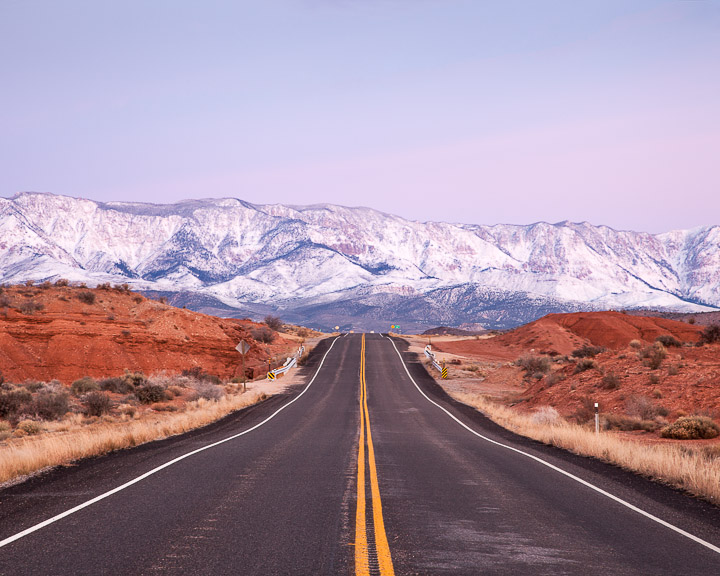
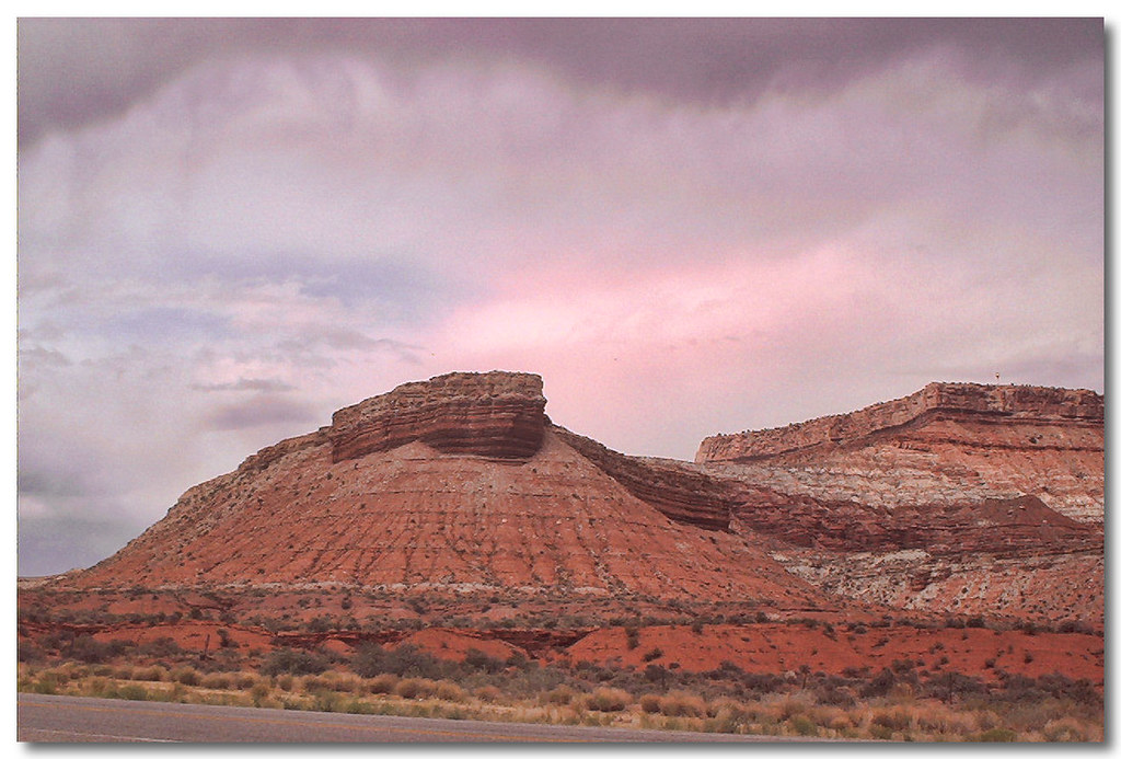
Pine Valley Mountains

Little House On The Prairie
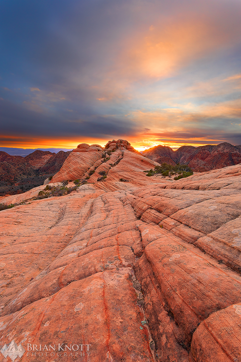
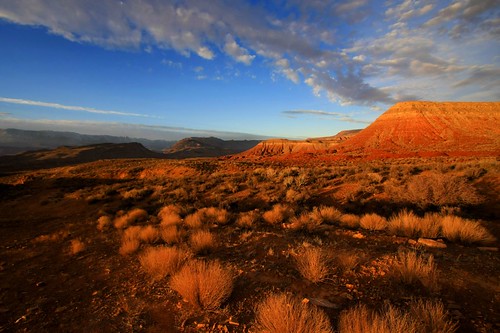
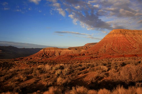
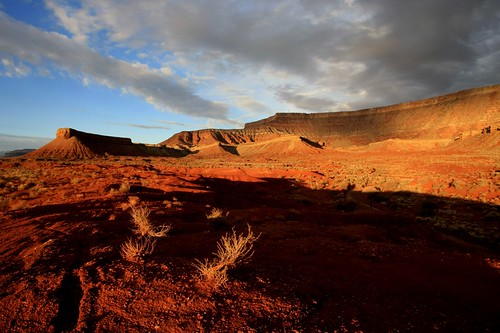
Dragon's Tail Sunset
Zion National Park

Pine View High School
View from the hills near my parents' home in Utah

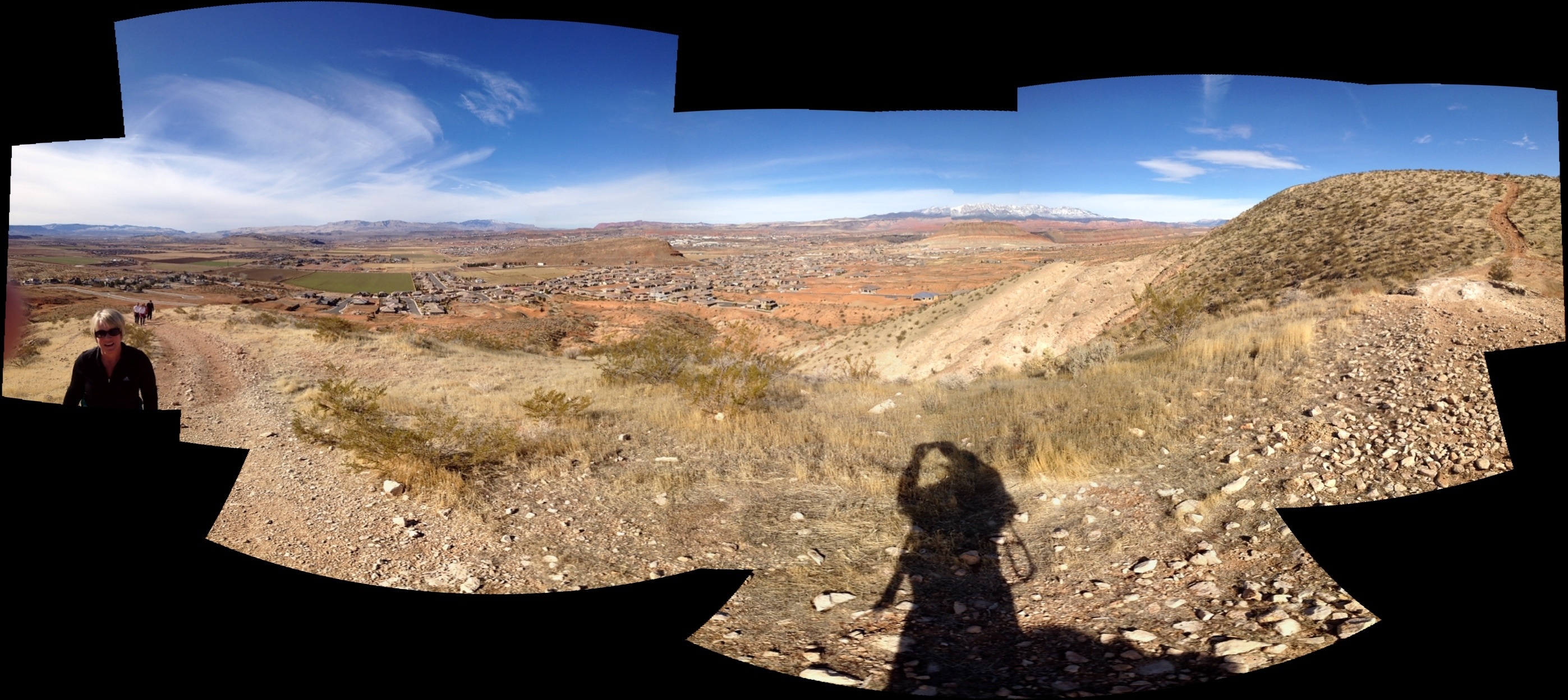
Panorama from Big Sandstone mountain in Hurricane Utah
The View
Shades of Gold
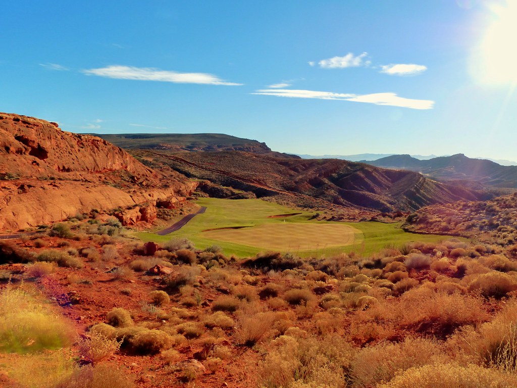
Sand Hollow #14 d - view back r

Quail Creek Reservior
up & down
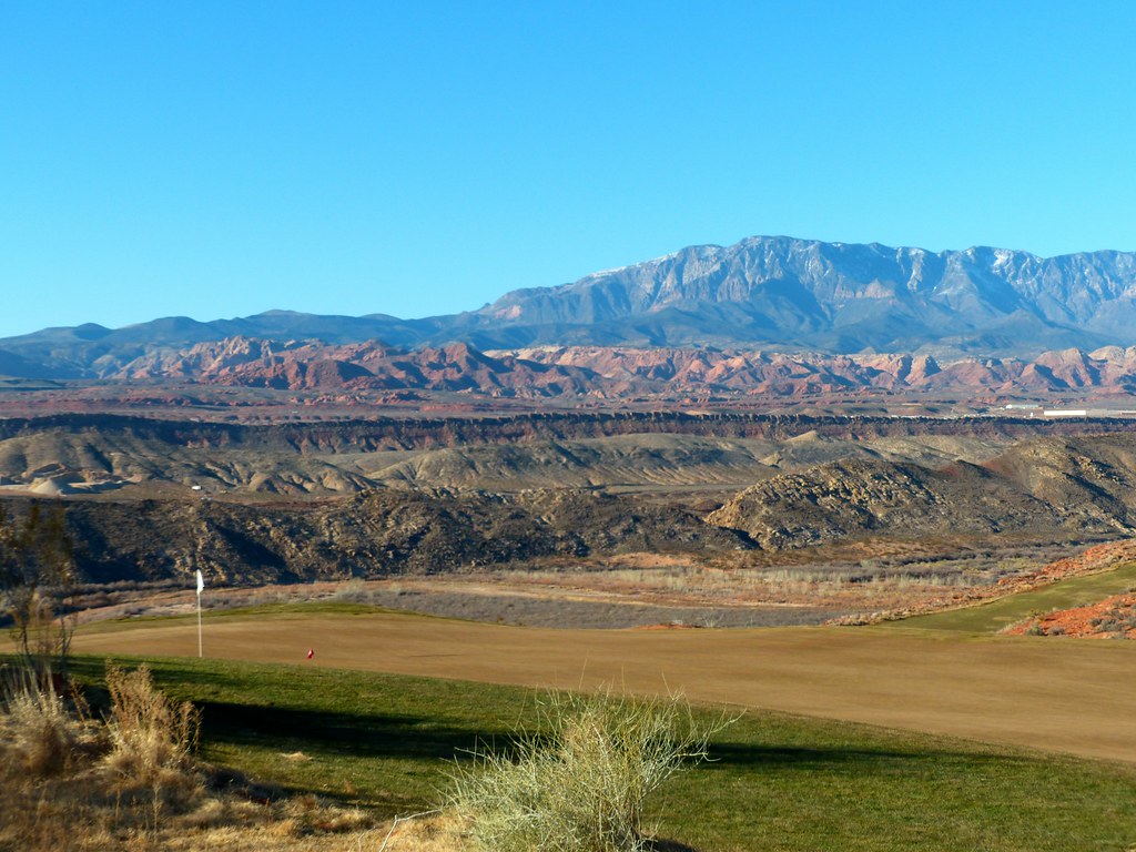
Sand Hollow #12 h = view back to fairway b r

back down, then continuing up
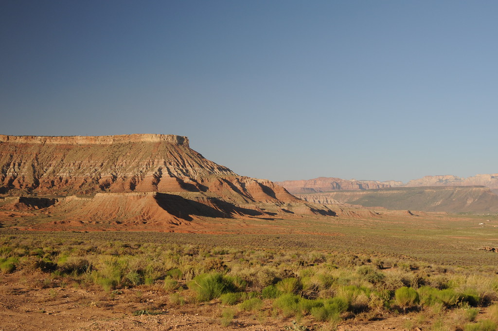
On the Road to St. George
Sand Hollow #11 view from left side of green r
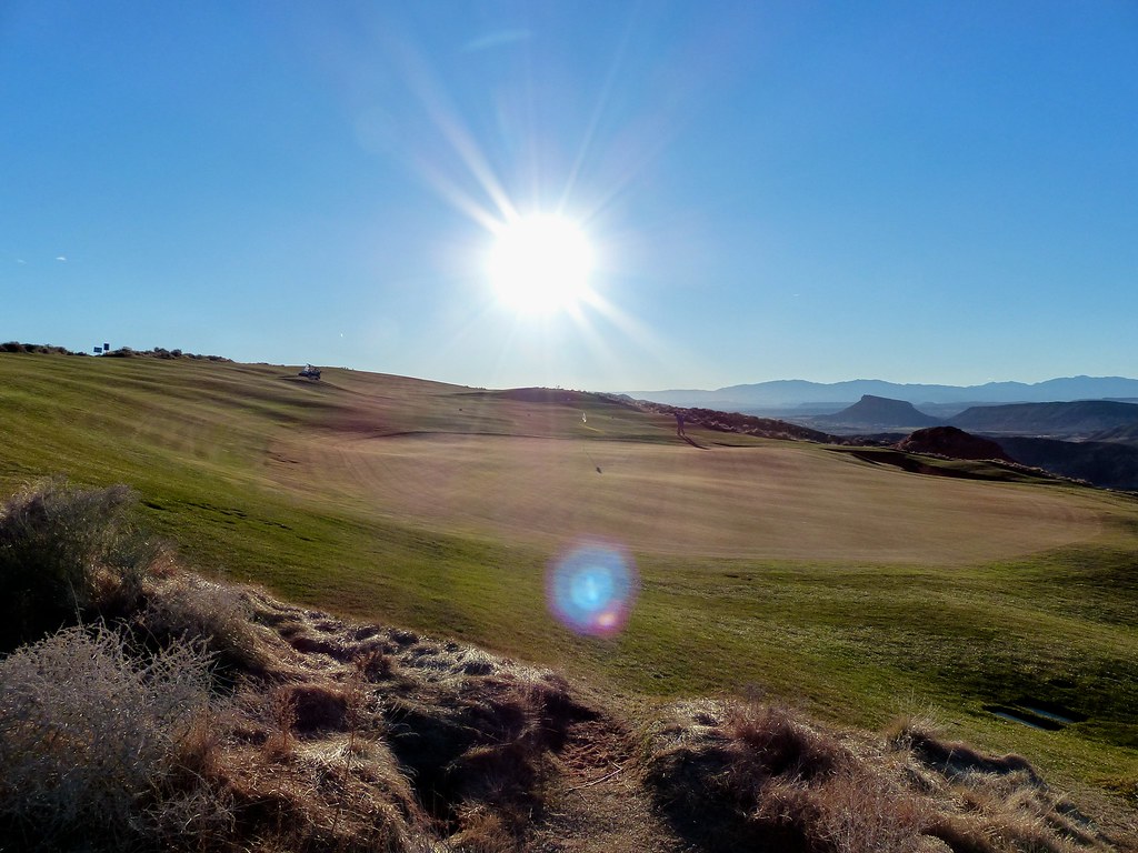
Golden Hour
Creeping Shadows

Hurricane, UT (3D)
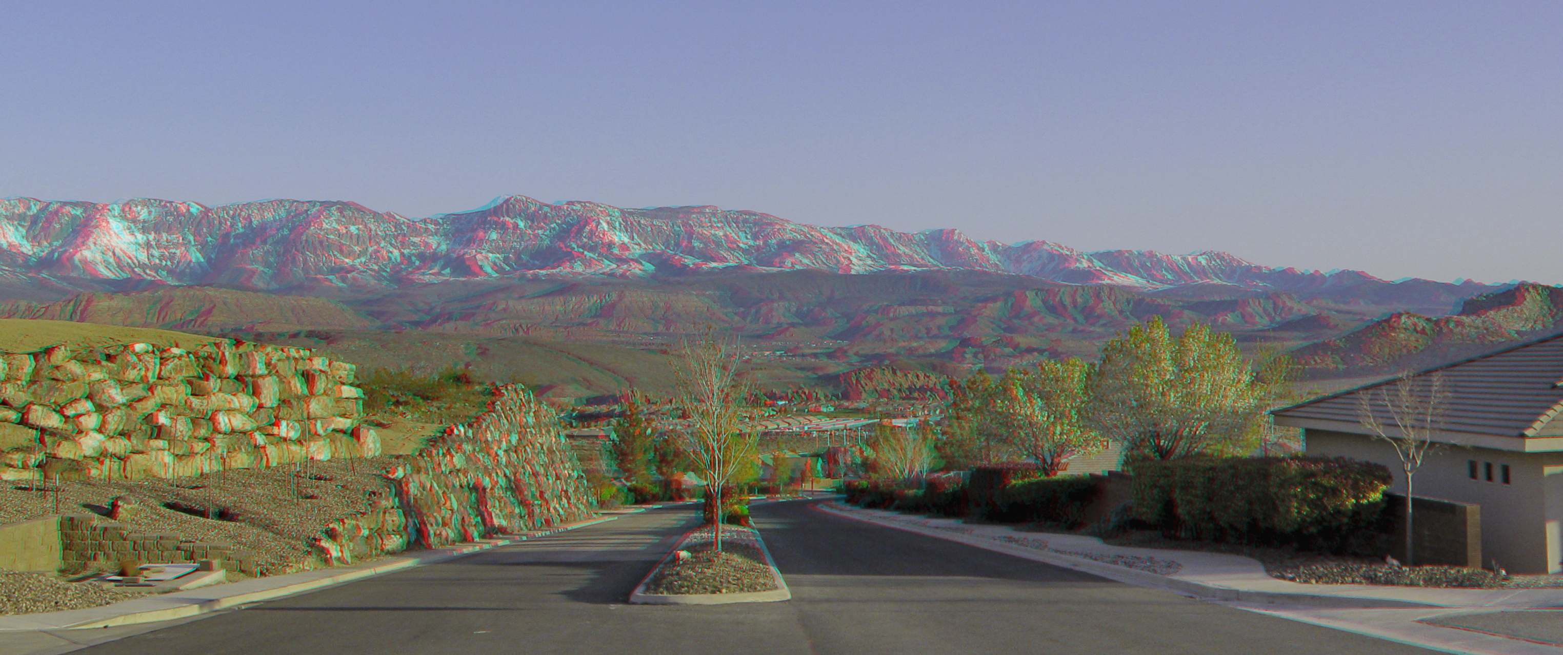
Hurricane, UT (3D)
Sunset view along the Rt 59 to Hurricane Utah 7

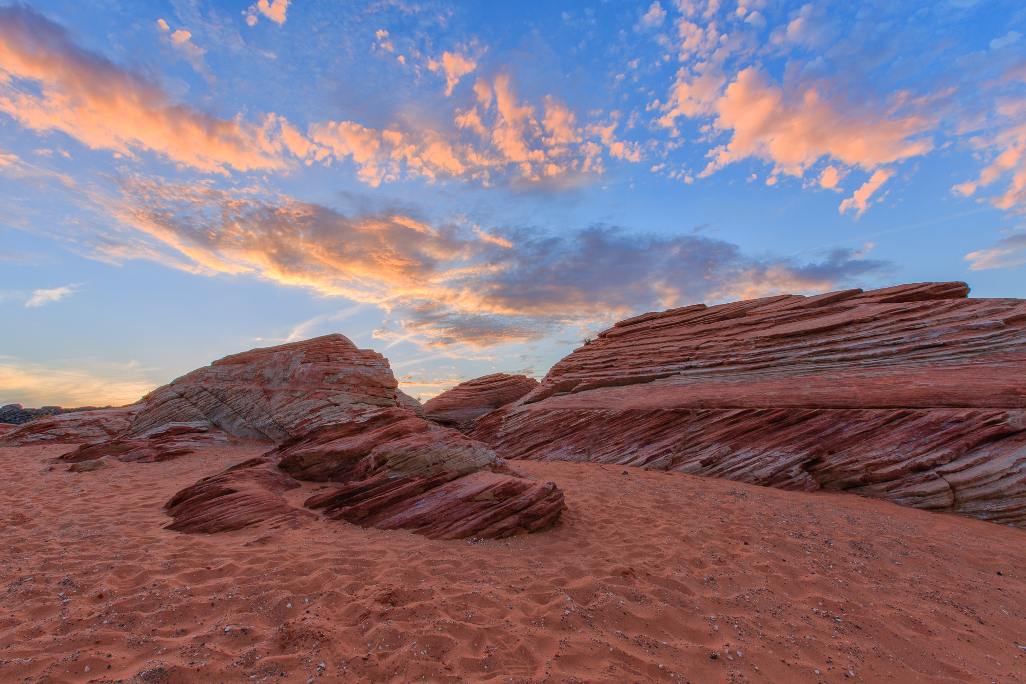
Yant Flat Panorama
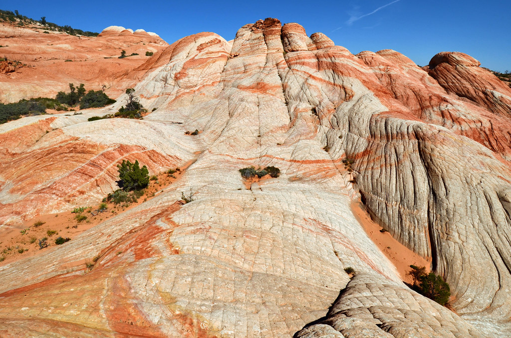
Yant Flat
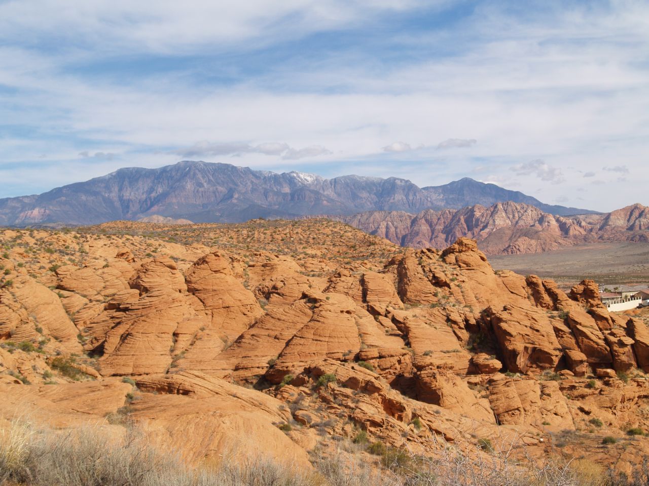
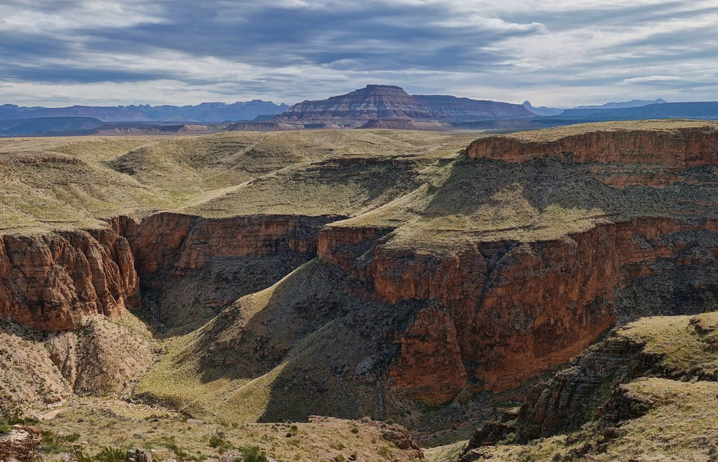
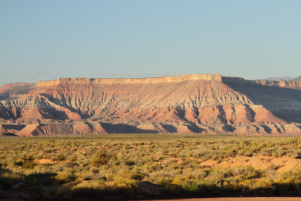
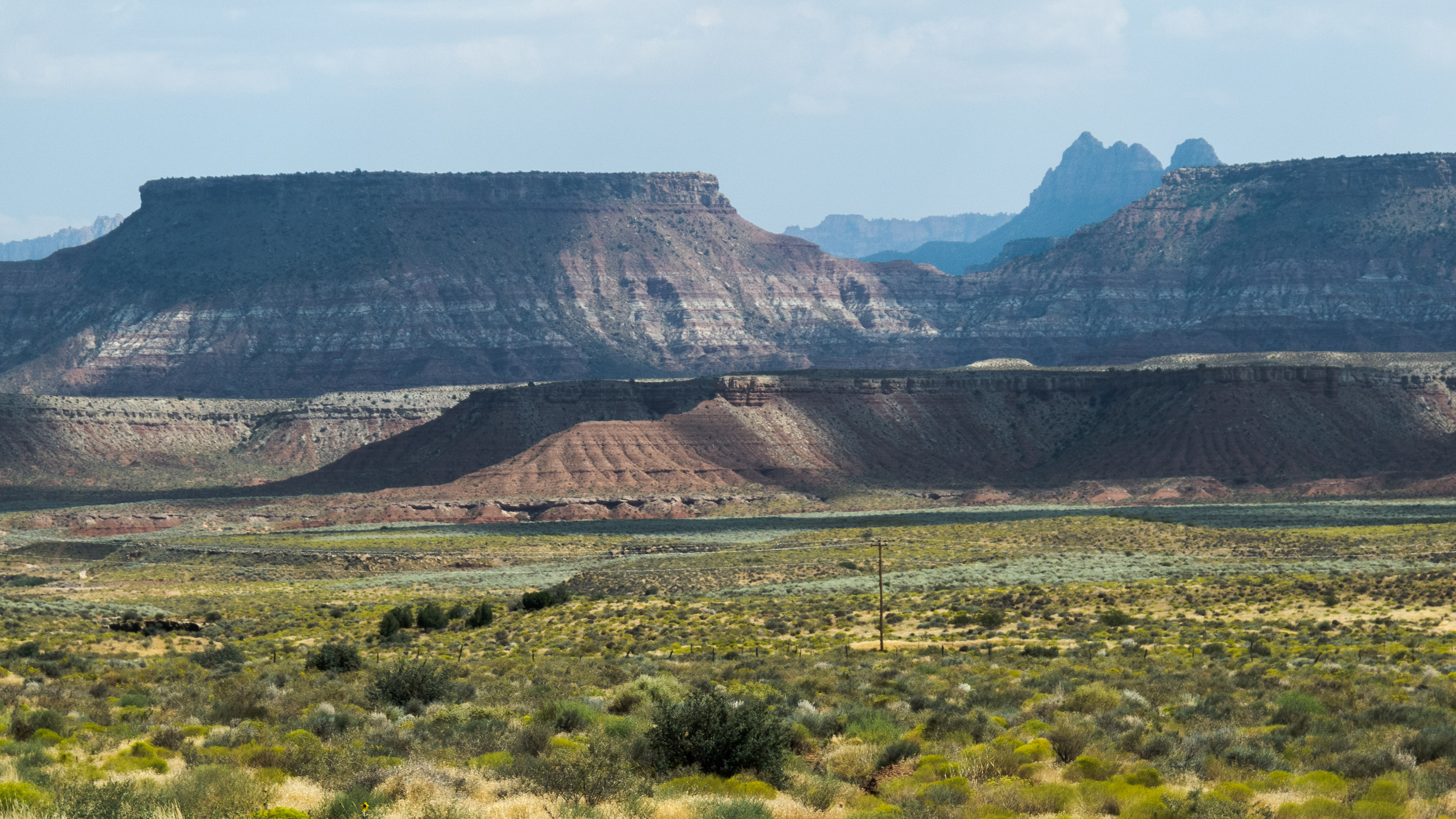
Hurricane Mesa
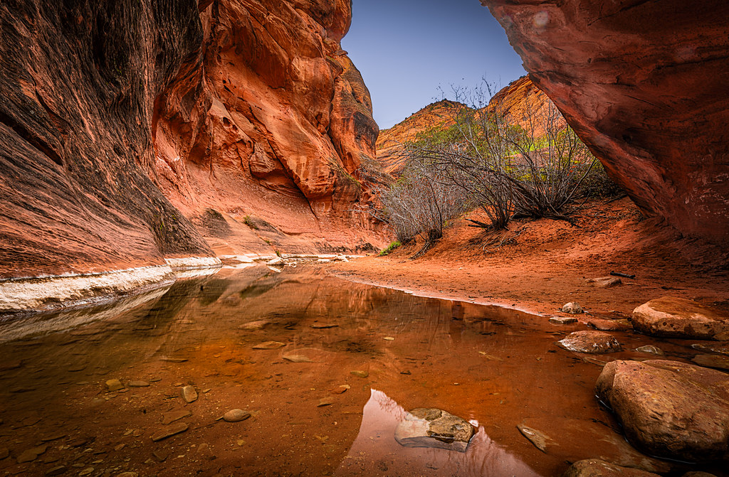
Red Cliffs Mountain Stream

Powerhouse in the morning

In the middle of a hurricane
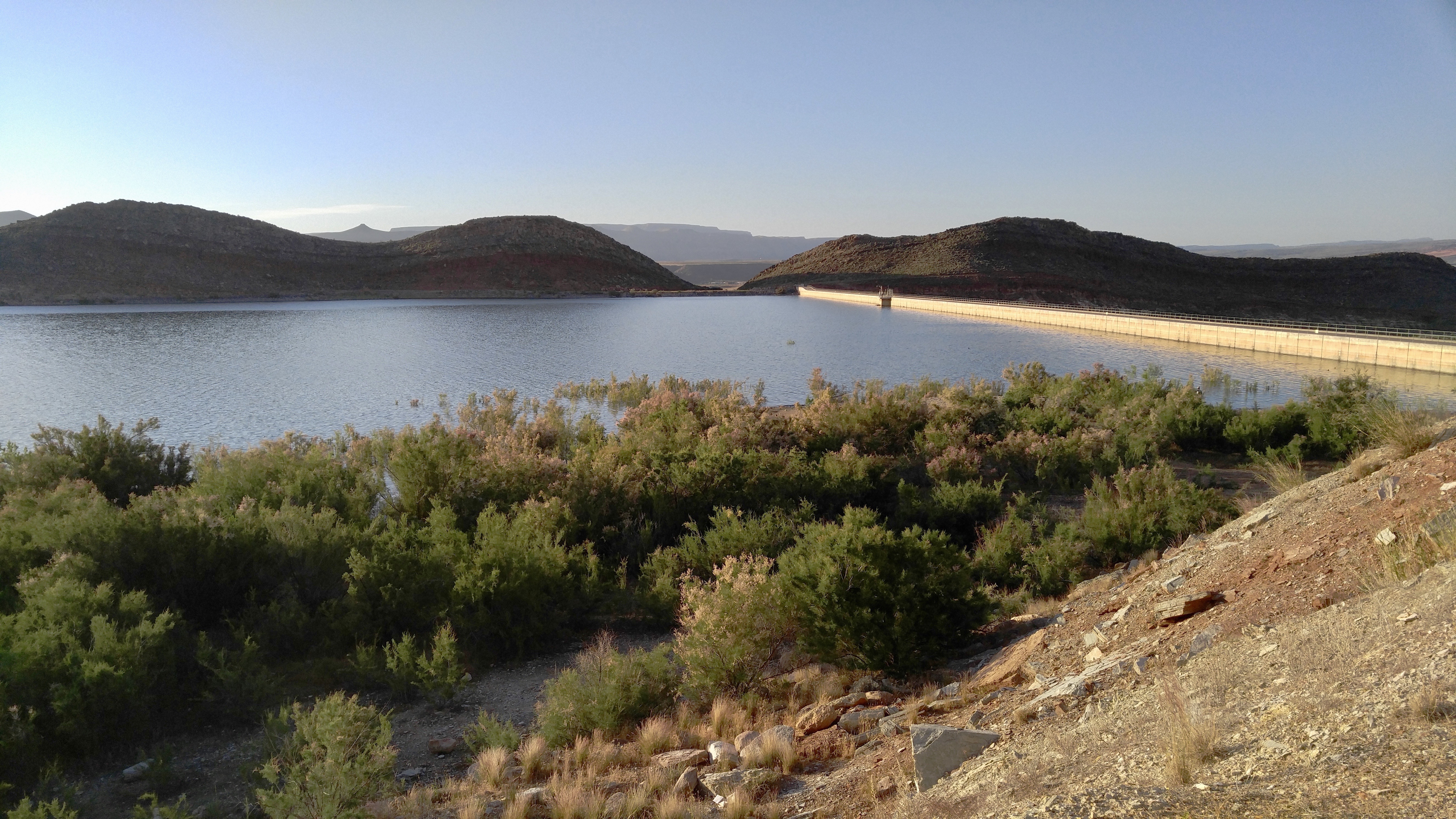
Quail Creek Reservoir
2011-08-30-144350_vom Valley of Fire zum Zion NP
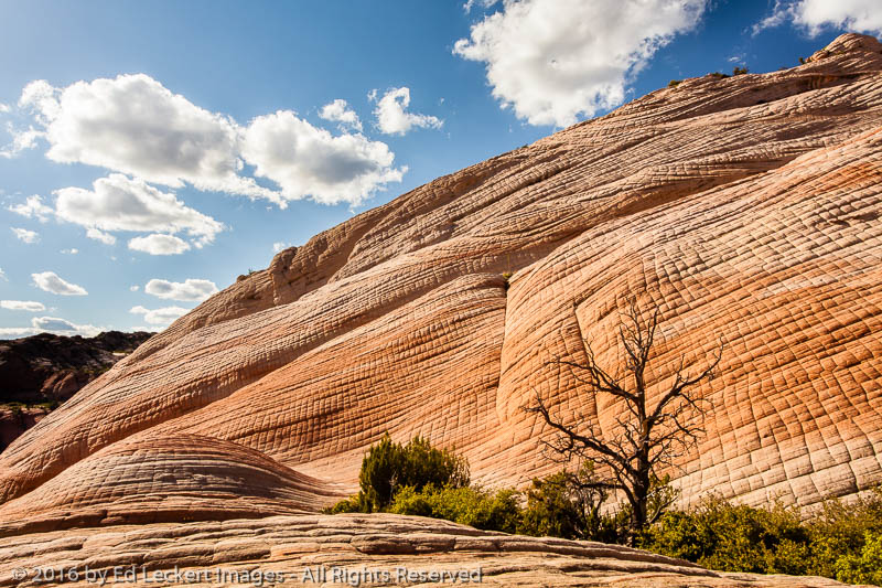
Tree and Texture, Yant Flat, Utah

2011-08-30-145341_vom Valley of Fire zum Zion NP

Reflections in the Virgin River
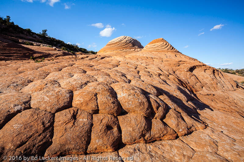
Two Domes, Yant Flat, Utah
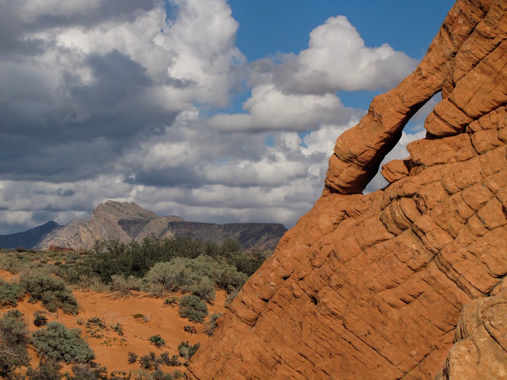
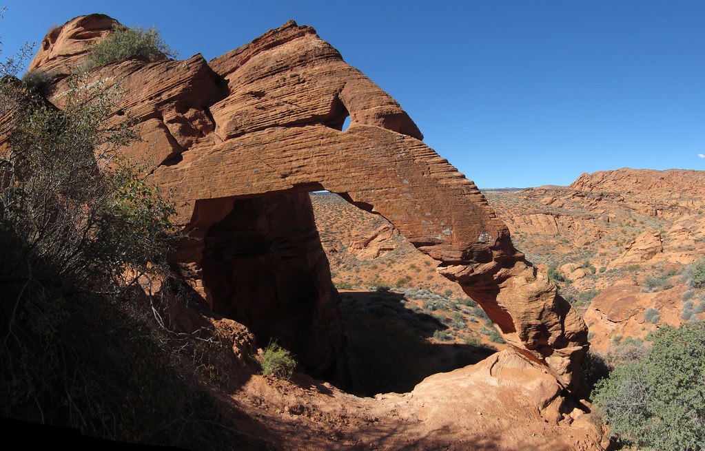
red cliffs, and an arch

Quail Creek Reservoir, Quail Creek State Park, Utah

I love this section of Road.
Hurricane city Utah #Utah
the grand elephant
Turn around

Expanse.

gnarly trees

i15 back to Vegas
Topographic Map of Old Hwy 91, Hurricane, UT, USA
Find elevation by address:

Places near Old Hwy 91, Hurricane, UT, USA:
449 N 3420 W
3407 W 400 N
150 N 3700 W #72
150 N 3700 W #72
2491 S 3200 W
Sand Hollow State Park
5662 West Clubhouse Drive
Sand Hollow Reservoir
The Beach At Sand Hollow
Elephant Arch
1078 Catalpa Drive
954 N Ocotillo Dr
Hurricane
2332 South 675 West
749 W 2500 S
1357 Staghorn
Toquerville
La Verkin
27 E 200 N #426
101 E 500 N
Recent Searches:
- Elevation of Congressional Dr, Stevensville, MD, USA
- Elevation of Bellview Rd, McLean, VA, USA
- Elevation of Stage Island Rd, Chatham, MA, USA
- Elevation of Shibuya Scramble Crossing, 21 Udagawacho, Shibuya City, Tokyo -, Japan
- Elevation of Jadagoniai, Kaunas District Municipality, Lithuania
- Elevation of Pagonija rock, Kranto 7-oji g. 8"N, Kaunas, Lithuania
- Elevation of Co Rd 87, Jamestown, CO, USA
- Elevation of Tenjo, Cundinamarca, Colombia
- Elevation of Côte-des-Neiges, Montreal, QC H4A 3J6, Canada
- Elevation of Bobcat Dr, Helena, MT, USA