Elevation of E N, La Verkin, UT, USA

Location: United States > Utah > Washington County > La Verkin >

Longitude: -113.26815

Latitude: 37.211531

Elevation: 993m / 3258feet

Barometric Pressure: 90KPa

Elevation Map:

elevation map of E N, La Verkin, UT, USA

Satellite Map:

Satellite map of E N, La Verkin, UT, USA

Related Photos:

road morning travel winter red usa snow mountains yellow rock dawn early utah highway unitedstates horizon roadtrip line transportation getty roadtripping laverkin pinevalleymountains
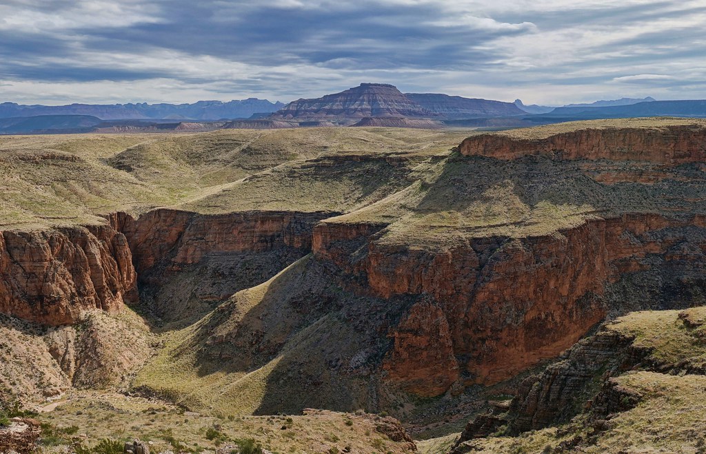
Pine Valley Mountains
utah gate babylon redcliffsdesertreserve fallbreak2013 stepovergate “stepover”
step-over gate
usa mountains nature beauty weather america utah sandstone rocks cliffs virgin temperature geology elevation “zionnationalpark” imagebydesignworks “scenicdrive” heidipuccio “courtofthepatriarchs” “thesentinel” “rockformations” “southwesternunitedstates” “navajosandstone”
en route to ZION NATIONAL PARK ~ UTAH
park car canon geotagged desert favorites shot5 zion zionnationalpark cd31 535316313633 negpage0150 roll845 199602zion geo:country=unitedstatesofamerica geo:state=ut camera:make=canon image:shot=5 geo:city=springdale camera:model=eoselan image:rating=2 1996february cd:id=535316313633 cd:num=31 roll:type=gold100 Image:CD=3173 event:Type=travel event:Group=traceywb event:code=199602zion roll:num=845 roll:envelope=146293 neg:page=0150 address:Tag=zionnationalpark image:CDID=535316313633 image:CD=31073 image:NegPage=0150 image:Roll=845
Zion / Utah
park tree canon geotagged desert favorites shot2 zion zionnationalpark cd31 535316313633 negpage0150 roll845 199602zion geo:country=unitedstatesofamerica image:shot=2 geo:state=ut camera:make=canon geo:city=springdale camera:model=eoselan image:rating=2 1996february cd:id=535316313633 cd:num=31 roll:type=gold100 event:Type=travel event:Group=traceywb event:code=199602zion roll:num=845 roll:envelope=146293 neg:page=0150 Image:CD=3170 address:Tag=zionnationalpark image:CDID=535316313633 image:CD=31070 image:NegPage=0150 image:Roll=845
Zion / Utah
Panorama from Big Sandstone mountain in Hurricane Utah
utah hurricane molliesnipple hurricanecliffs canyon sb2017 orton
up & down
utah hurricane molliesnipple hurricanecliffs panorama pano sb2017
from Mollie's Nipple
utah hurricane molliesnipple hurricanecliffs panorama mollies nipple pano sb2017
starting up Mollie's
Southwest Desert to view the Blood Moon
utah desert thegoldenhour ♥avision♥
Shades of Gold
sky blackandwhite mountains utah desert hurricane brush sandhollow cahyman hytecimages incrediblevistas
Facing East
panorama utah pano stgeorge cottonwoodcanyon redrockcountry redcliffsdesertreserve sb2015 uplandszone
a place to get lost
nightphotography carnival nightimages ferriswheel southernutah hdr lightstreams carnivalrides longexposures movinglight washingtoncountyfair stgeorgeutah longexposuresatnight
Moving Light
utah hurricane redcliffsdesertreserve hurricanecinderknolls westcinderknolltrail westcinderknoll effingwindy colors sb2019 panorama pano
West Cinder Knoll view
utah hurricane redcliffsdesertreserve hurricanecinderknolls westcinderknolltrail westcinderknoll effingwindy colors sb2019 panorama pano
West Cinder Knoll view
panorama quailcreekreservoir
Quail Creek Reservior
utah unitedstates earth hurricane places mesa edits labcf11 lrvibclar lrhsl stgeorgetoandfro
On the Road near St. George
architecture building house home plains prairie utah usa view
Little House On The Prairie
utah washington cottonwoodcanyonwilderness redreeftrail redreef panorama pano holidays2017 vertorama kani
back down, then continuing up
utah leeds tent campsite blm redcliffscampground fallbreak2013
morning view
washington utah unitedstatesofamerica
Layers of Colors
landscape nature rocks mountain sky
Hurricane flats Utah
hdr laverkinpowerhouse photomatix restaurant riverrockroastingcompany ut utah virginriver laverkin unitedstates us
A touch of snow on the power house
utah us unitedstates hurricane redcliffs
Red Cliffs in Utah
zion national park sun set
After glow, Zion West Temple from Dalton Wash
film analog utah nikonfe kodaktrix400 quailcreek nikonseriese50mmf18
Quail Creek
nature creek landscape utah nikon sandstone rocks scout canyon hike erosion explore trail quailcreek supershot 2013 redcliffsrecreationarea coth5 d800e redreeftrail
Sherpa....and...Scout
utah laverkin confluencepark pinevalleymountains snow virginriver sugarloaf canyon river sb2019
I clumb up
blue red sky clouds landscape fun utah interesting vibrant explore redrock fujivelvia50 tamron1750mm filmconversion vsco canon7d
Utah Red Rocks - Fuji Velvia
shadow utah fisheye 8mm silverreef shadowselfie sb2016
shadow selfie
utah laverkin confluencepark virginriver virginriverpowerstation pinevalleymountains sugarloaf powerplant hydroplant canyon river snow sb2019
end of the hike
hurricane utah hurricaneutah hurricaneut ut kid nirvana spraypaint motorcycle motorcycleshop american americanflag americanmotorcycleshop americana roadtrip americanroadtrip democraticforest folkart bicycle sociallandscape oddball danwatsonphotography nothingsignified workingwithdad nikond3400 nikon dslr d3400 child punk punkhaircut greatwesternroadtripof2018 gwrt18 aliens streetphotography portrait childportrait kidportrait candid person face glasses broken flag
Hurricane, Utah. 5.24.18.
big panorama from the edge of Gooseberry Mesa
babylonut
Tortured rock and sparse vegetation
Where There's Water...
analog utah sandstone desert hurricane velvia zion zionnationalpark redrock analogphotography rvp50
Hurricane Hills
utah gnarlytree sooc silverreef sb2016
gnarly trees