Elevation of W Main St, Lincolnton, NC, USA
Location: United States > North Carolina > Lincoln County > Lincolnton > Lincolnton >
Longitude: -81.258970
Latitude: 35.4708814
Elevation: 259m / 850feet
Barometric Pressure: 98KPa
Elevation Map:
Satellite Map:
Related Photos:

10 for 5 Cents

Tuckers Grove Campground - African Methodist Episcopal Church Retreat

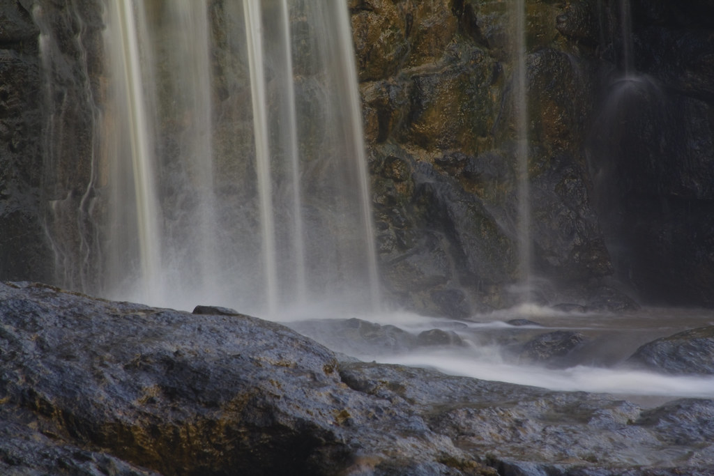
Davis Falls 3

Cabin in the Woods

Orange Beauty

God's Light

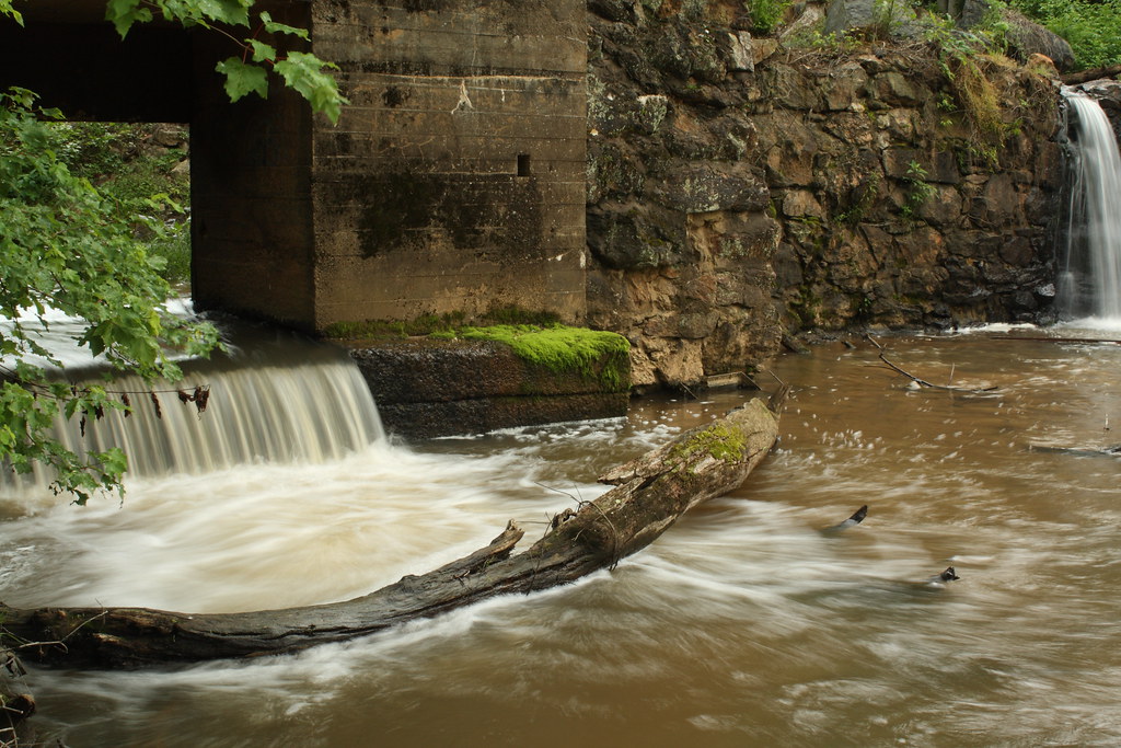
Rhyne Mill Dam

Cline Farm "Waterfall"

Grace Union Church

Still Growing...
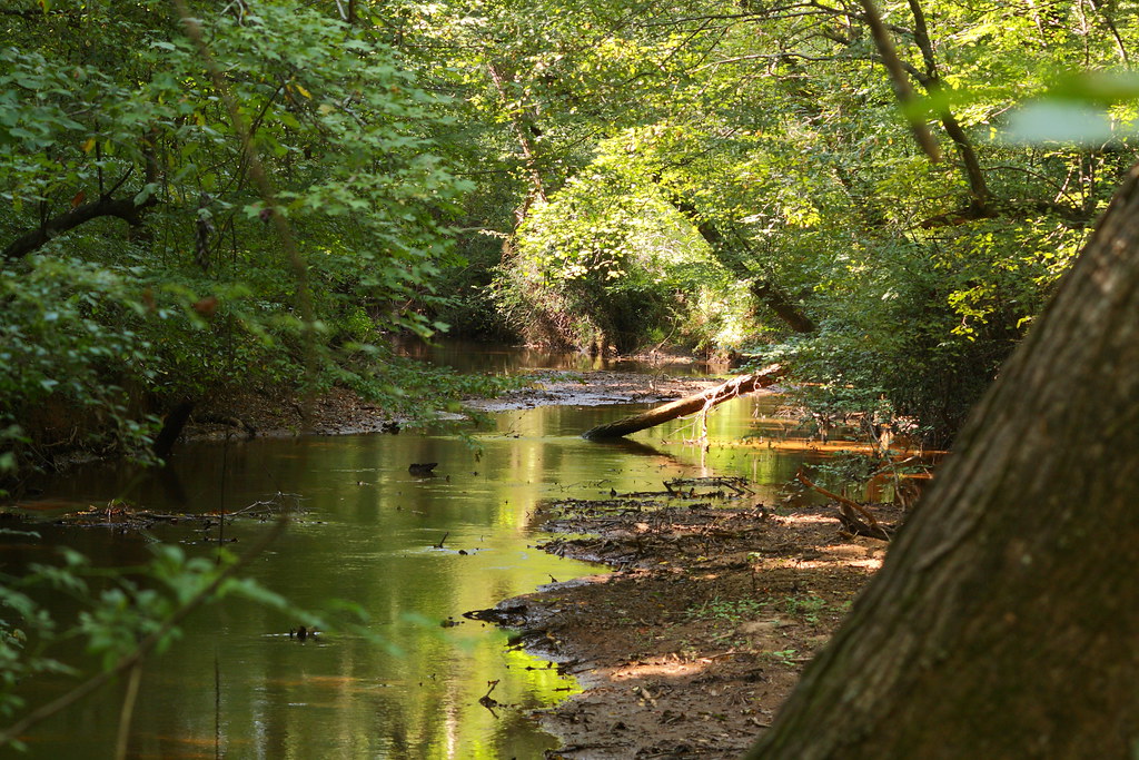
The Creek

Old Lincolnton Rec Department

Wildflower at Cline Farm

Iron Fence (HFF)

Lone Tree in Fog

Man vs Nature
Small Cascade

Cat Tails at Cline Farm

Good Morning from the Farm!

Christmas Tree

Sunset through the Weeds

Field of Dreams?

Indian Summer

Rhyne Mill on the South Fork River

Davis Falls

Clematis April 2018

Davis Falls

Barn and Broomstraw

Hole in the Dam
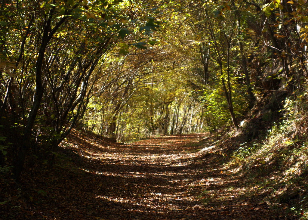
Into the Woods

Catawba County Sunset
Misty Base

Tryon Sunrise

South Fork "Falls" 2

Cline Farm Pond
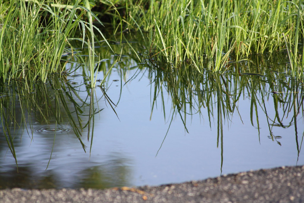
Puddle reflection

Rolling Hills

South Fork River
Topographic Map of W Main St, Lincolnton, NC, USA
Find elevation by address:

Places near W Main St, Lincolnton, NC, USA:
Lincolnton
206 Jonas Dr
Sigmon St, Lincolnton, NC, USA
2520 Laboratory Rd
2586 Laboratory Rd
1161 Confederate Rd
Bailey Spring Drive
Roseland Dr, Lincolnton, NC, USA
961 Hillard Ln
Lincolnton
909 Hillard Ln
1990 Gastonia Hwy
Cline Farm
2129 E Main St
Cline Farm Road
351 Grandview Ln
2443 Gastonia Hwy
2515 Gates Rd
2713 Long Shoals Rd
2988 Long Shoals Rd
Recent Searches:
- Elevation of Vista Blvd, Sparks, NV, USA
- Elevation of 15th Ave SE, St. Petersburg, FL, USA
- Elevation of Beall Road, Beall Rd, Florida, USA
- Elevation of Leguwa, Nepal
- Elevation of County Rd, Enterprise, AL, USA
- Elevation of Kolchuginsky District, Vladimir Oblast, Russia
- Elevation of Shustino, Vladimir Oblast, Russia
- Elevation of Lampiasi St, Sarasota, FL, USA
- Elevation of Elwyn Dr, Roanoke Rapids, NC, USA
- Elevation of Congressional Dr, Stevensville, MD, USA