Elevation of Lincolnton, NC, USA
Location: United States > North Carolina > Lincoln County >
Longitude: -81.240868
Latitude: 35.4987247
Elevation: 272m / 892feet
Barometric Pressure: 98KPa
Elevation Map:
Satellite Map:
Related Photos:

God's Light
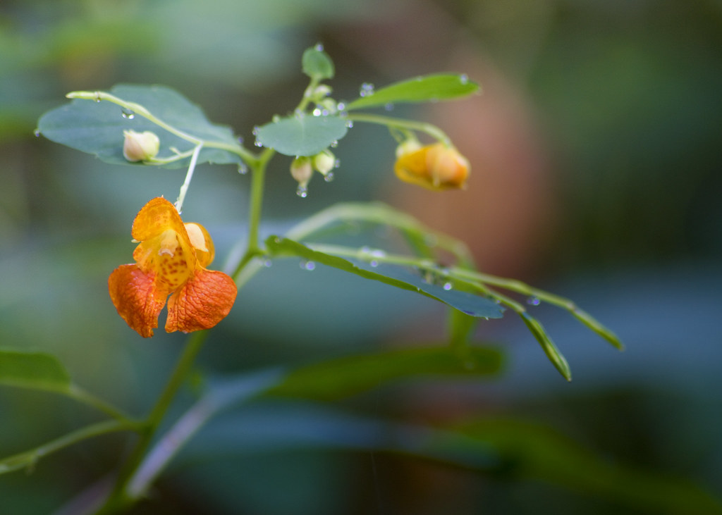
Orange Beauty

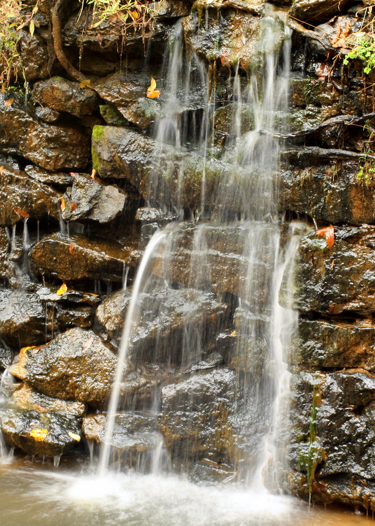
Cline Farm "Waterfall"
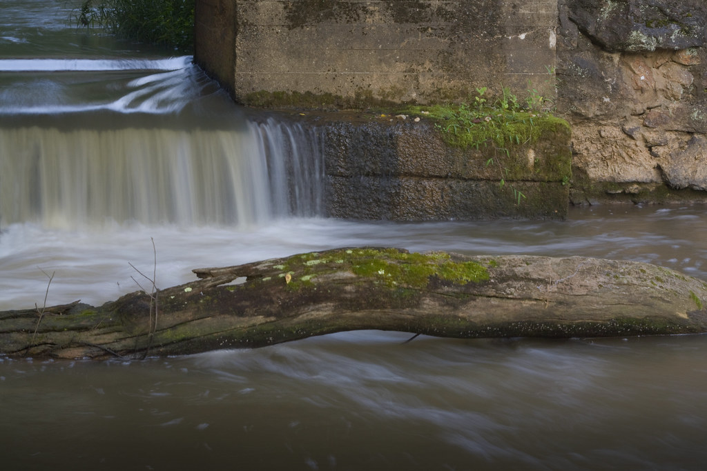
Rhyne Mill Dam
Still Growing...
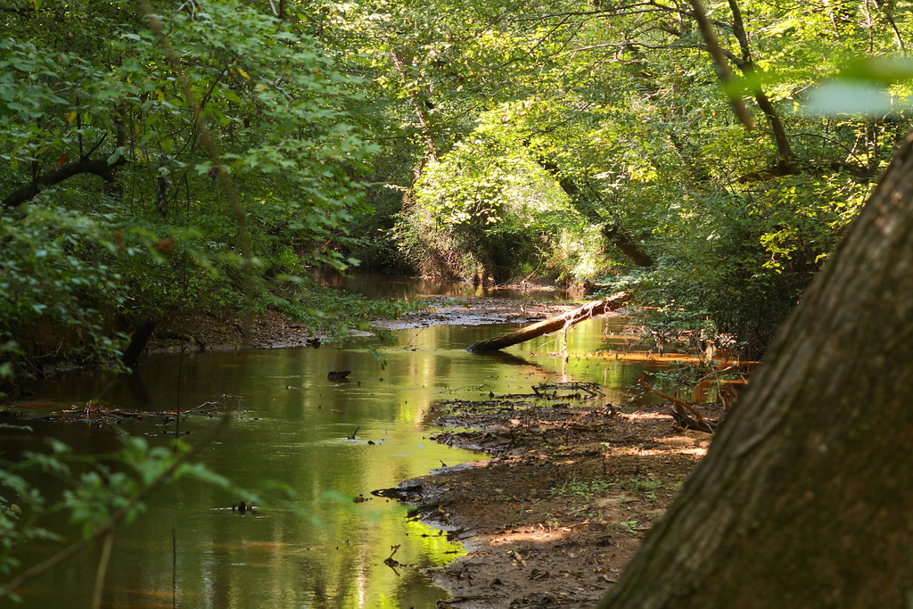
The Creek

Wildflower at Cline Farm

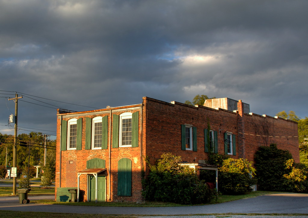
Old Lincolnton Rec Department
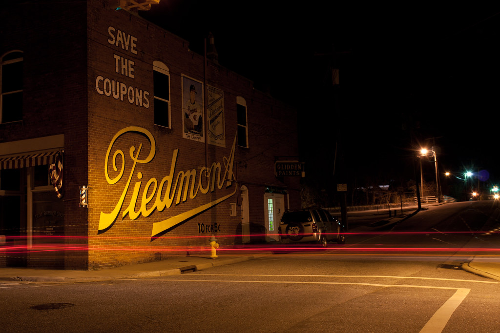
10 for 5 Cents

Iron Fence (HFF)
Man vs Nature

Small Cascade
Lineberger Brothers Cotton from the Backside
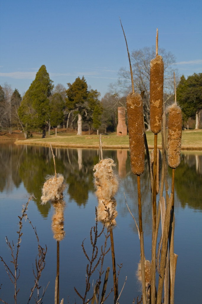
Cat Tails at Cline Farm
Water and Spirit
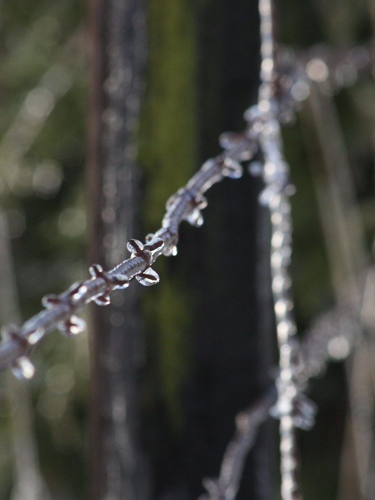
Frozen Barbs
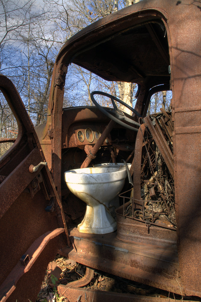
Toilet Included

Sunset through the Weeds
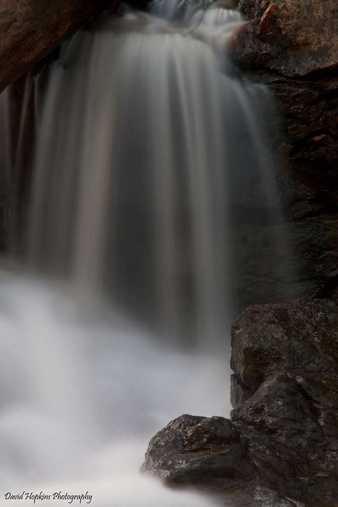
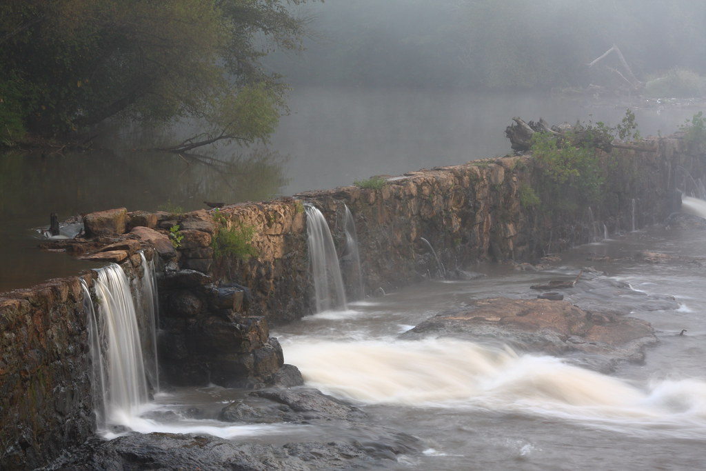
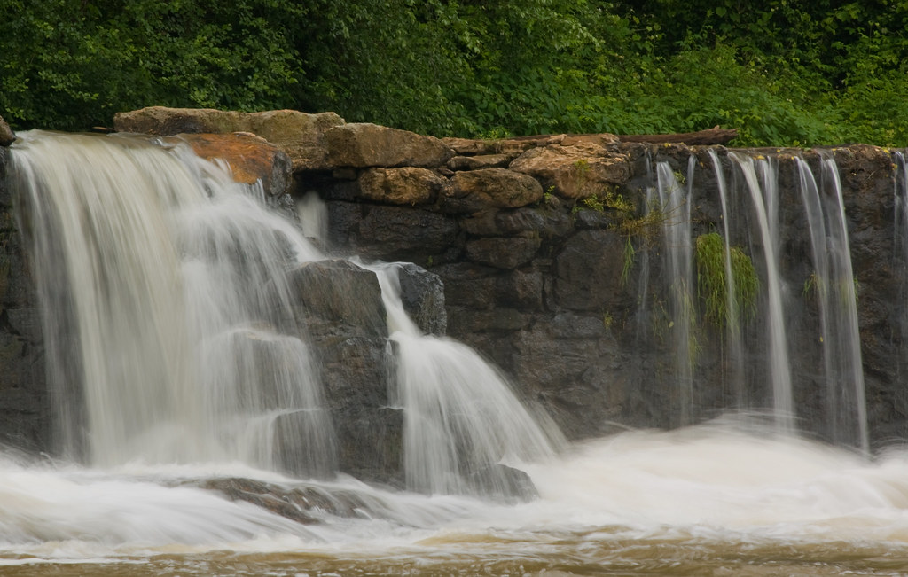
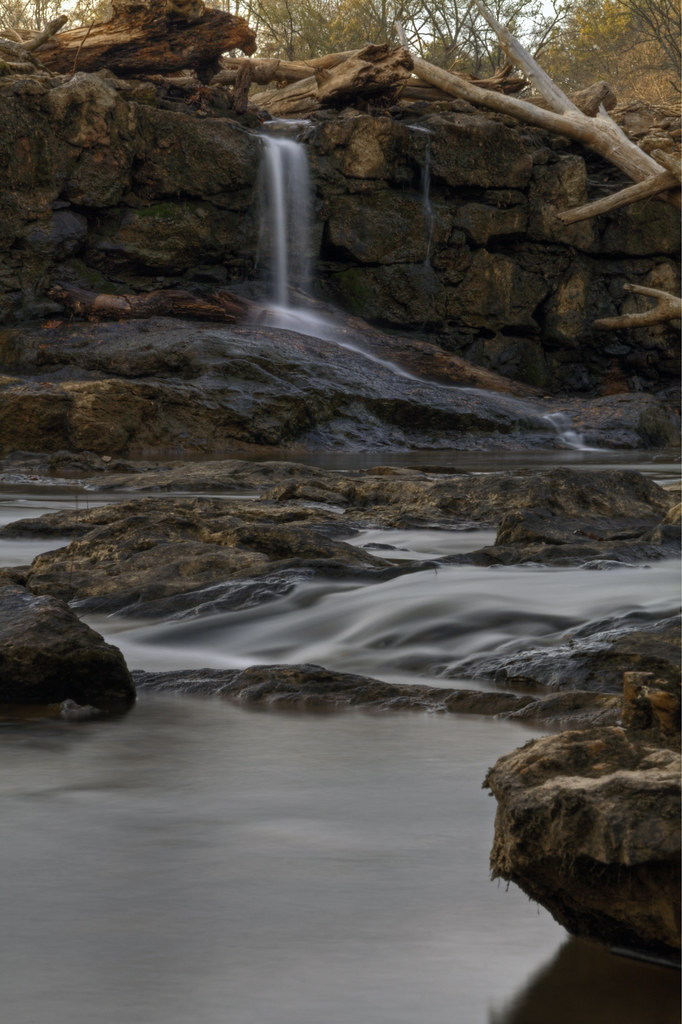
South Fork Cascade
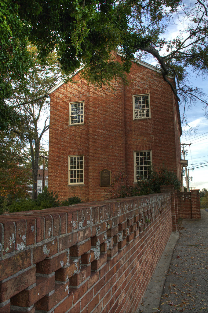
Pleasant Retreat Academy 2
Rhyne Mill Dam

The Perfect Tee Time

Field of Dreams?

Indian Summer
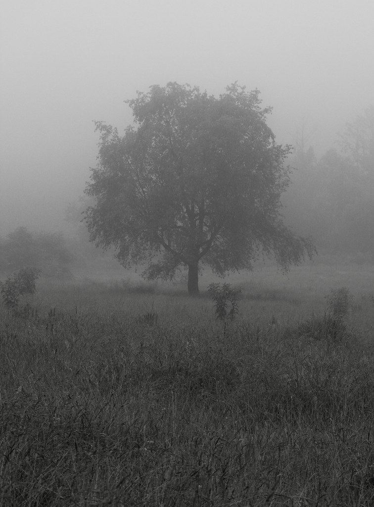
Lone Tree in Fog
Rhyne Mill on the South Fork River
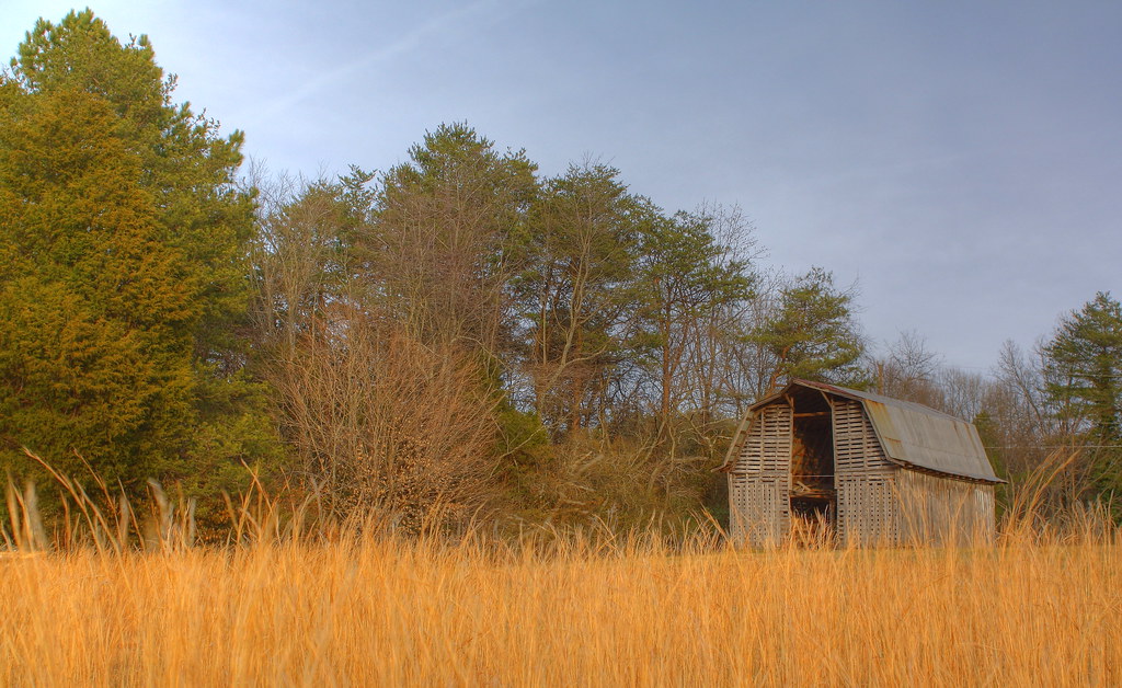
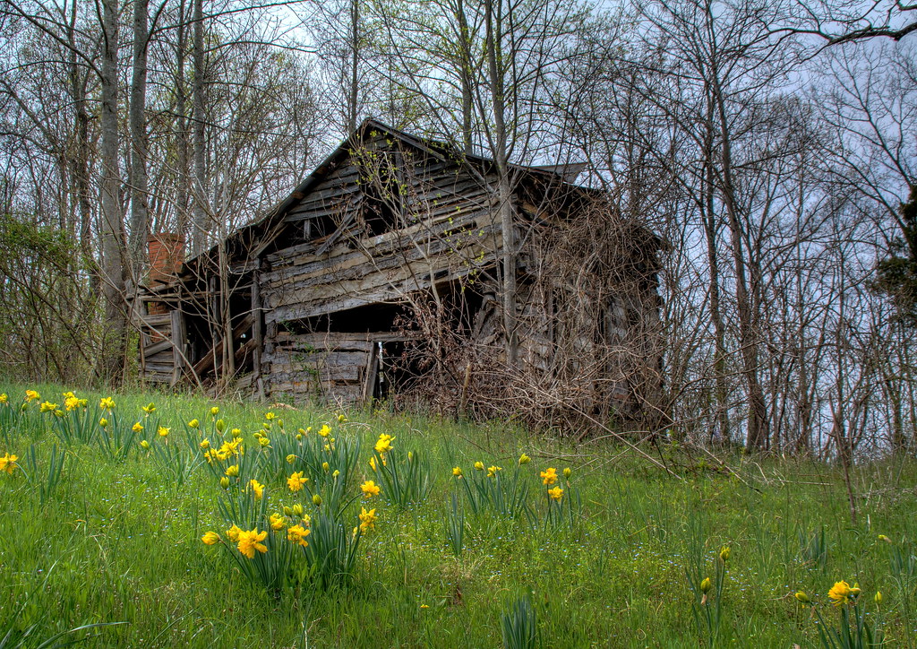
Barn and Broomstraw
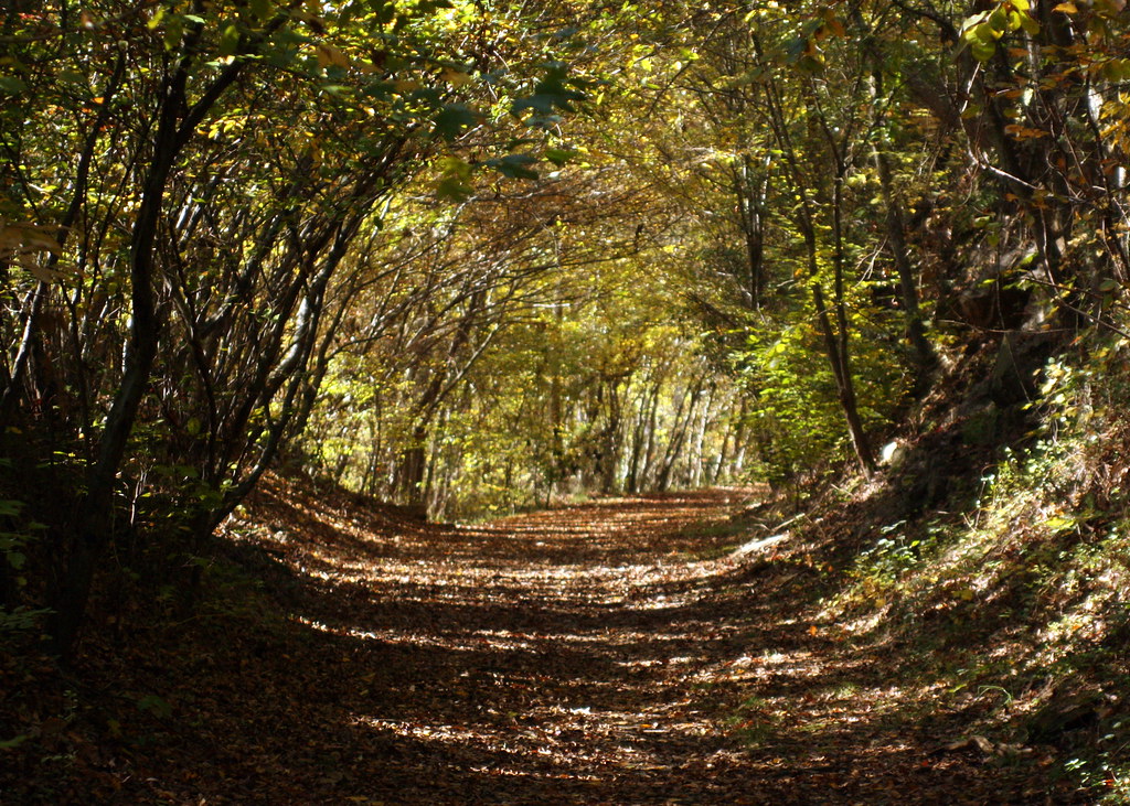
Into the Woods
Hole in the Dam
Misty Base

Storm at Sunset
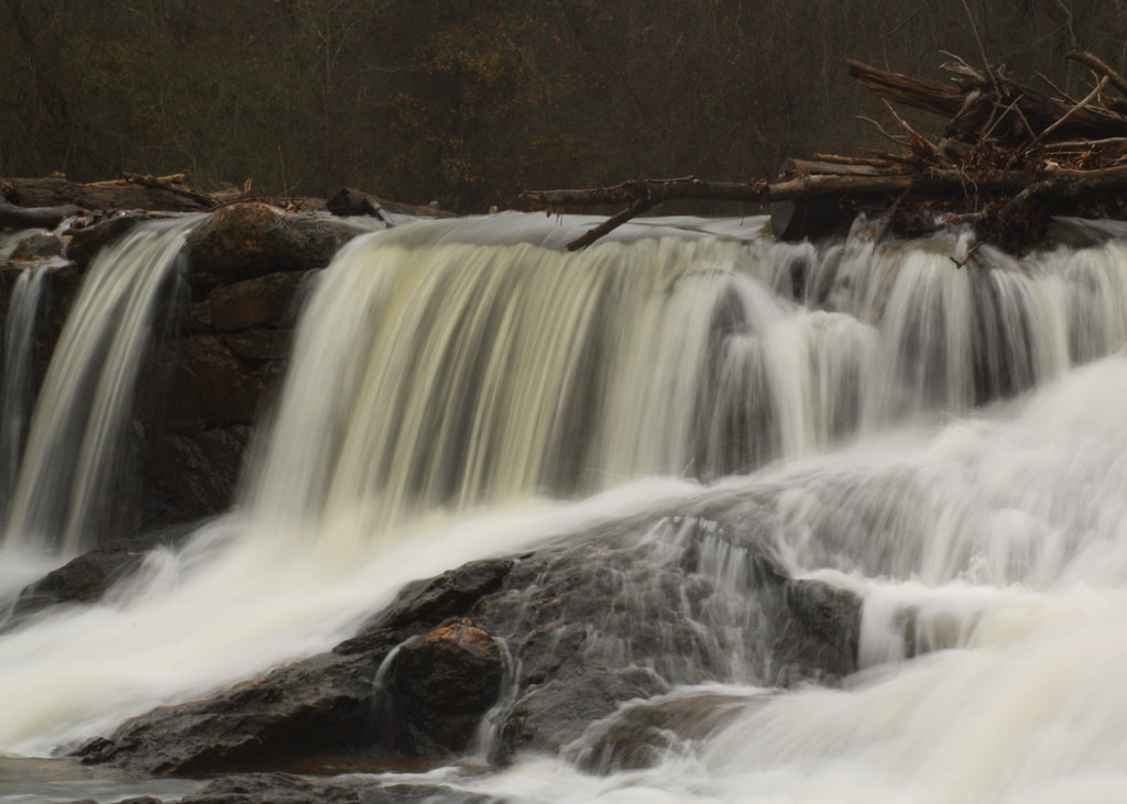
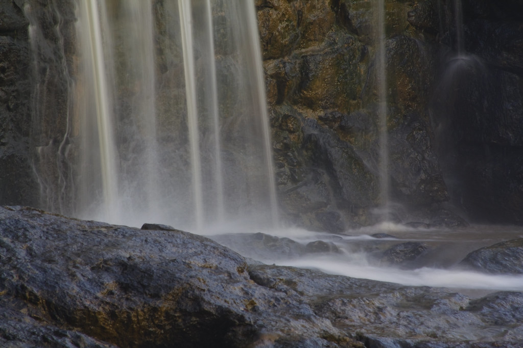
South Fork "Falls" 2

If the kid's ears were any longer, she'd take flight...

Jupiter Chasing Venus
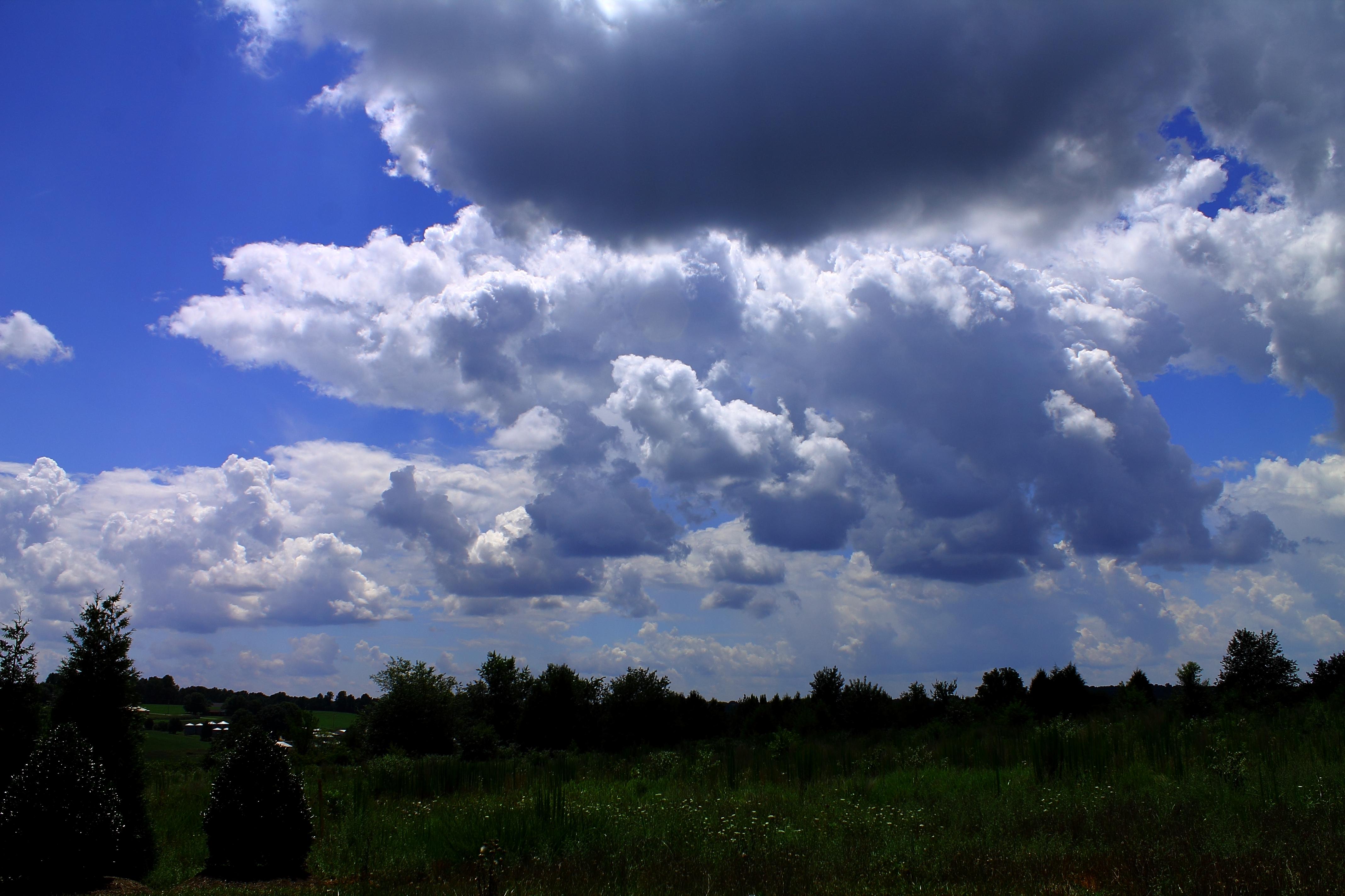
Carolina blue befrore the storm-2

Like mother like daughter...
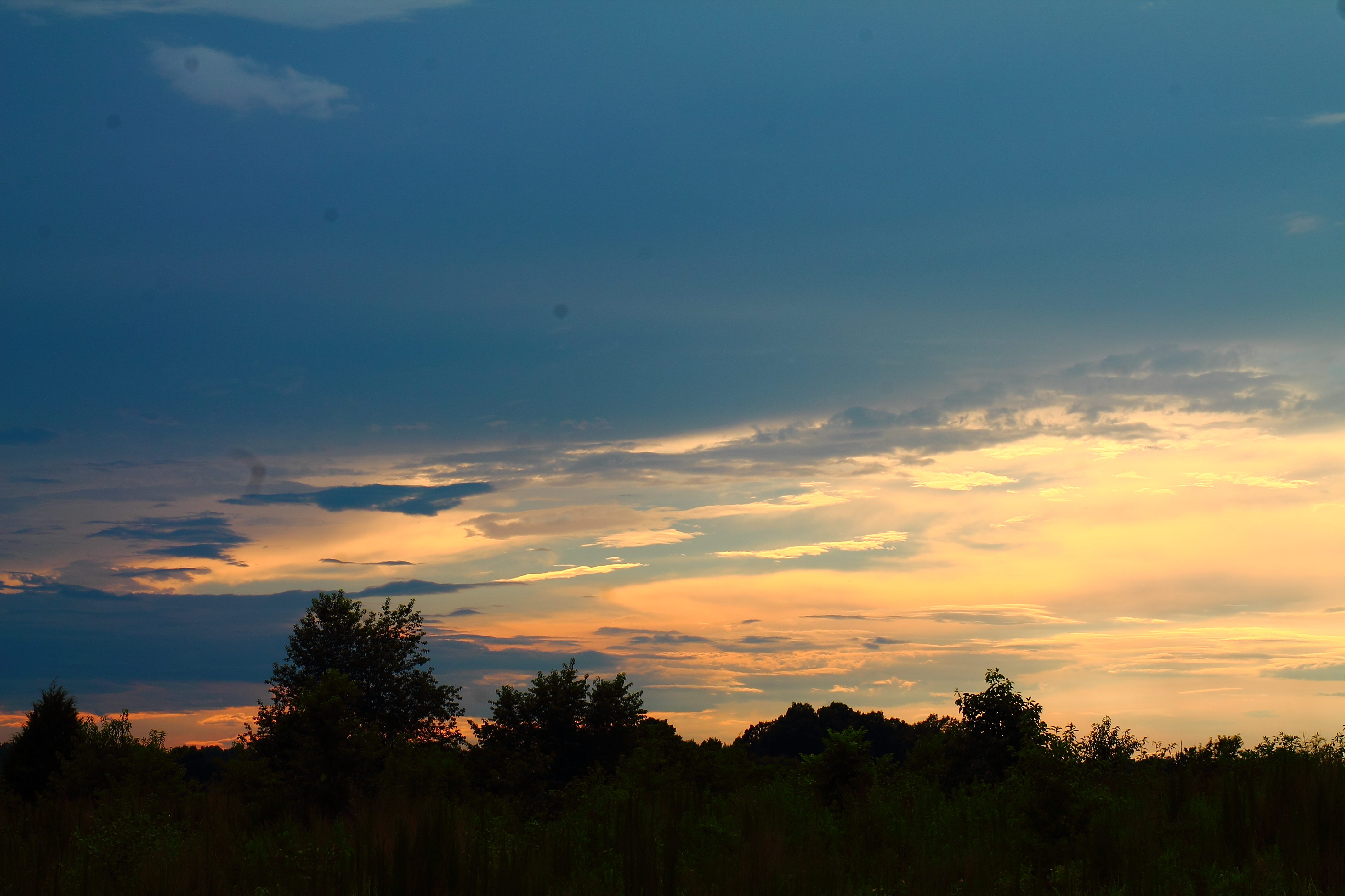
Calm after the storm (2)

Floppy-eared Friends Flock Together

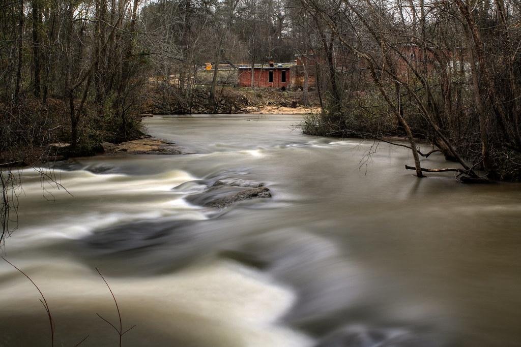
South Fork River
Topographic Map of Lincolnton, NC, USA
Find elevation by address:

Places in Lincolnton, NC, USA:
Places near Lincolnton, NC, USA:
Bailey Spring Drive
2129 E Main St
Lincolnton
208 W Main St
206 Jonas Dr
Sigmon St, Lincolnton, NC, USA
961 Hillard Ln
Cline Farm Road
Cline Farm
909 Hillard Ln
1990 Gastonia Hwy
2520 Laboratory Rd
351 Grandview Ln
2586 Laboratory Rd
1161 Confederate Rd
Roseland Dr, Lincolnton, NC, USA
2443 Gastonia Hwy
2515 Gates Rd
2713 Long Shoals Rd
2988 Long Shoals Rd
Recent Searches:
- Elevation of W Granada St, Tampa, FL, USA
- Elevation of Pykes Down, Ivybridge PL21 0BY, UK
- Elevation of Jalan Senandin, Lutong, Miri, Sarawak, Malaysia
- Elevation of Bilohirs'k
- Elevation of 30 Oak Lawn Dr, Barkhamsted, CT, USA
- Elevation of Luther Road, Luther Rd, Auburn, CA, USA
- Elevation of Unnamed Road, Respublika Severnaya Osetiya — Alaniya, Russia
- Elevation of Verkhny Fiagdon, North Ossetia–Alania Republic, Russia
- Elevation of F. Viola Hiway, San Rafael, Bulacan, Philippines
- Elevation of Herbage Dr, Gulfport, MS, USA