Elevation of Hillard Ln, Lincolnton, NC, USA
Location: United States > North Carolina > Lincoln County > Lincolnton > Lincolnton >
Longitude: -81.290657
Latitude: 35.4813017
Elevation: 251m / 823feet
Barometric Pressure: 98KPa
Elevation Map:
Satellite Map:
Related Photos:

Cabin in the Woods

10 for 5 Cents

Indian Summer
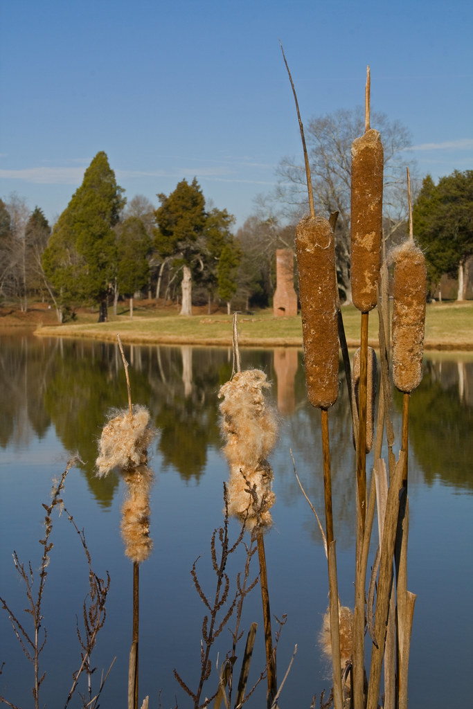
Cat Tails at Cline Farm
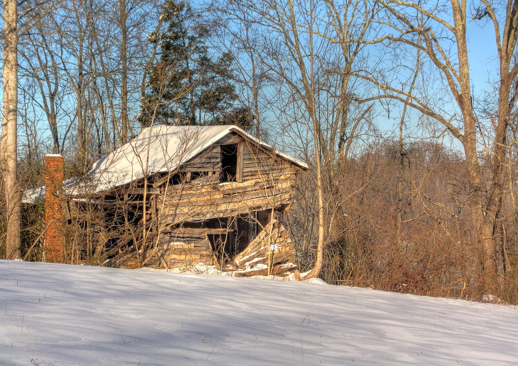
Snowy Cabin in the Woods

God's Light

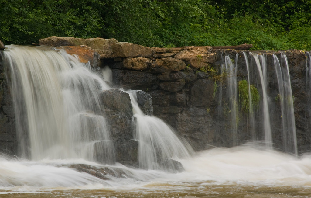
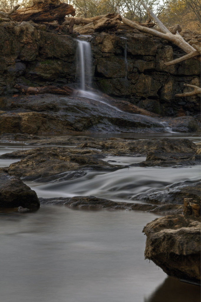
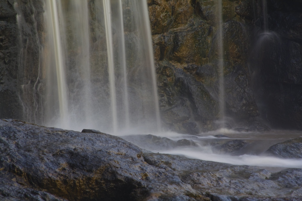
Cline Farm "Waterfall"

Old Lincolnton Rec Department

Grace Union Church

Wildflower at Cline Farm
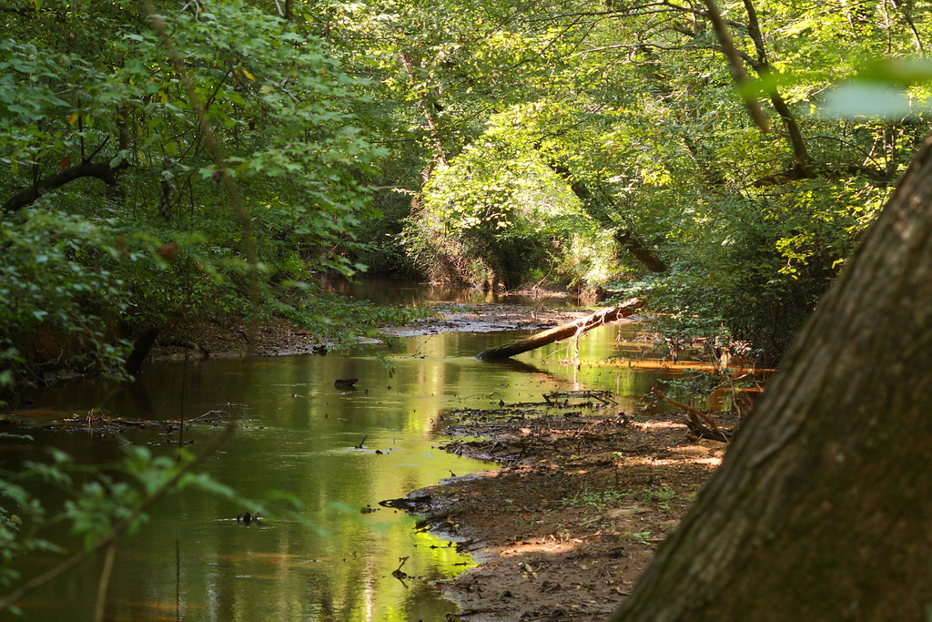
The Creek
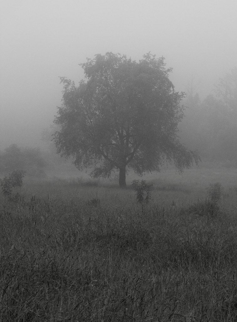
Lone Tree in Fog

Iron Fence (HFF)

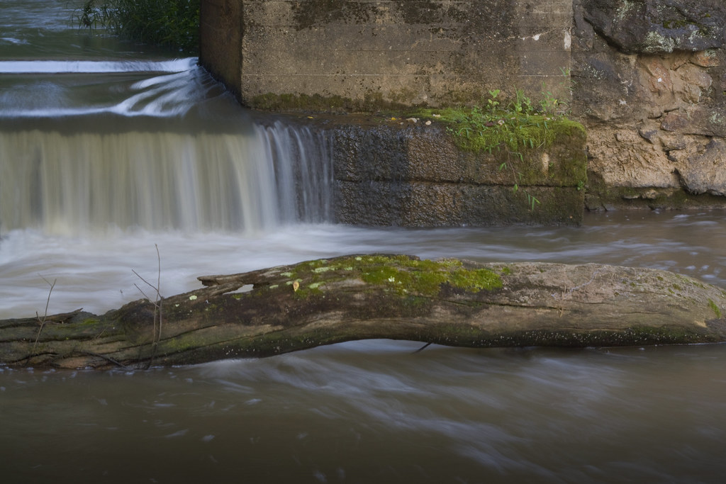
Small Cascade

Wildflower Bokeh
Man vs Nature
Water and Spirit
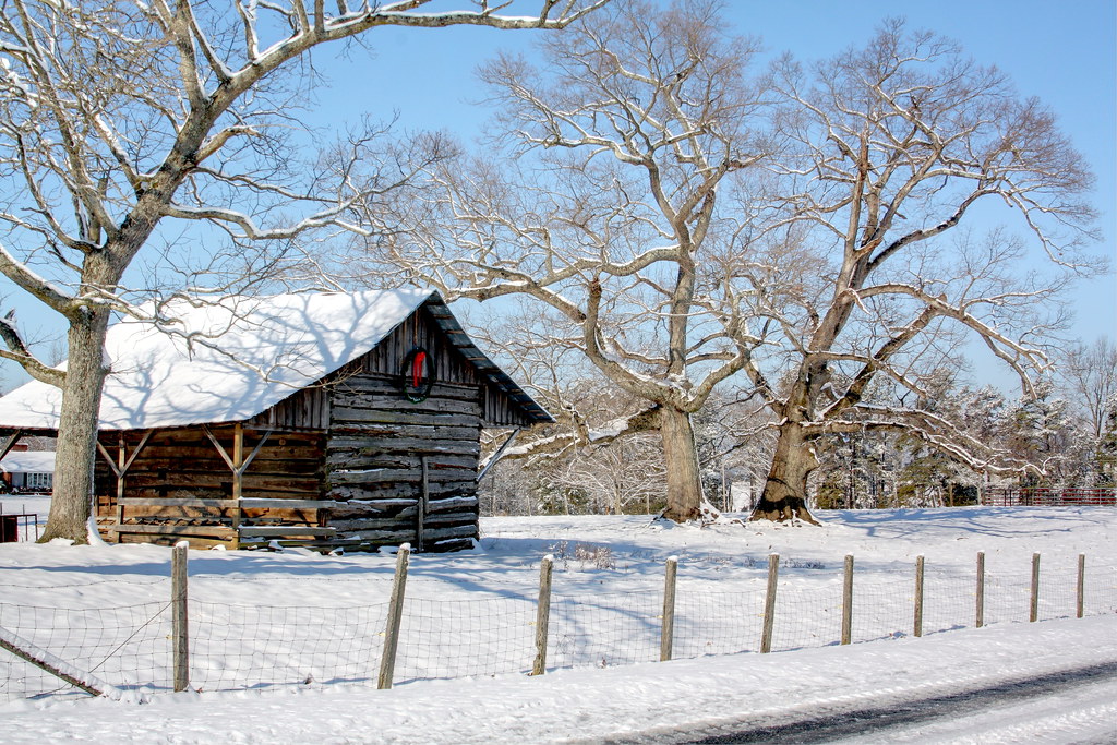
Snowy Barn (Still decked out for Christmas)
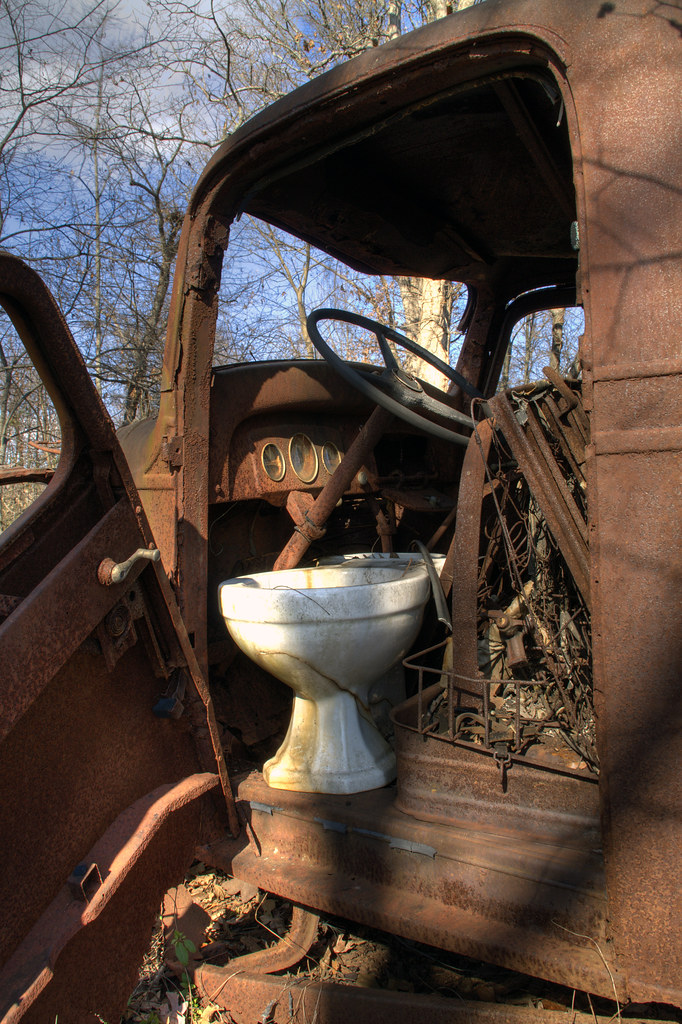
Toilet Included
Rhyne Mill Dam
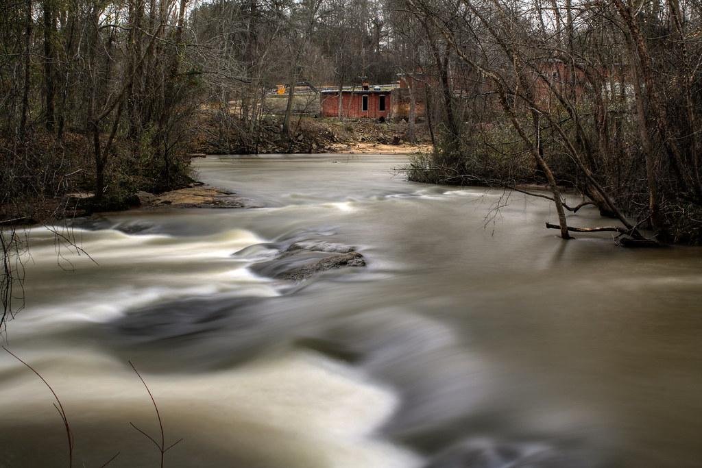
Rhyne Mill on the South Fork River

Cherryville, NC
Across the Field
Barn and Broomstraw
Misty Base

Like mother like daughter...

Clematis April 2018

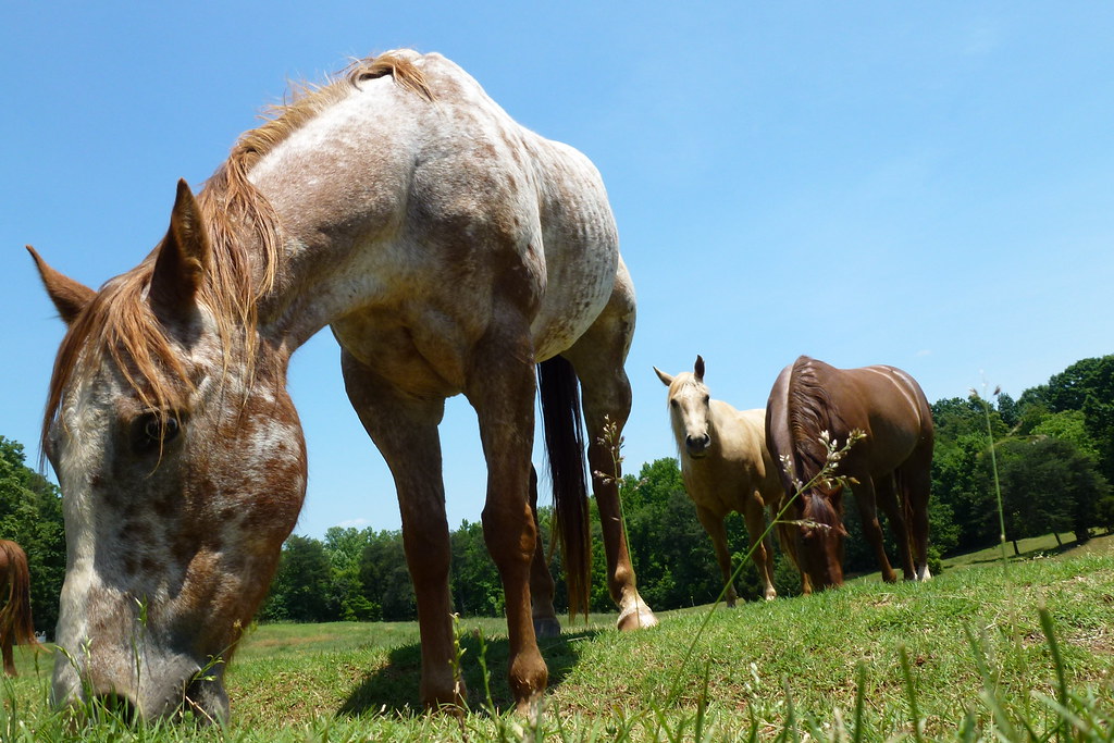
Morning on the farm

The Perfect Tee Time
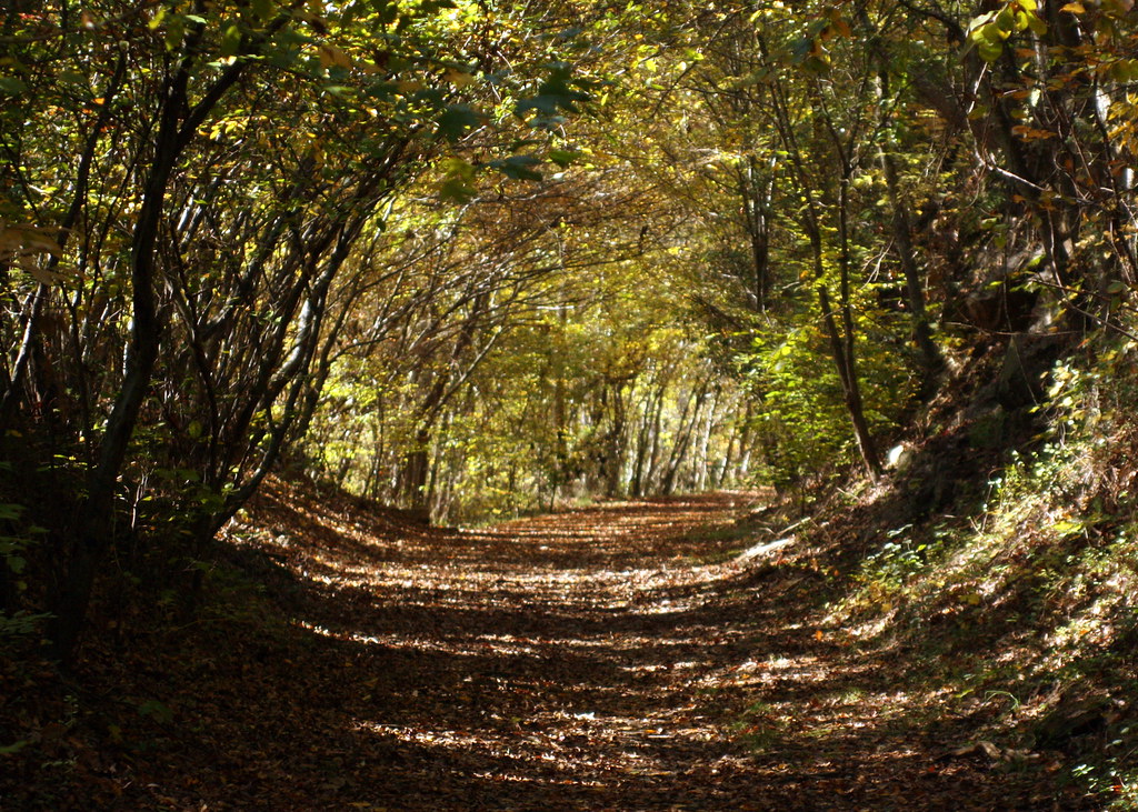
Into the Woods
Nothing like a freshly cut yard. #itsaguything

Tonight's Sunset 8/12/2010

Field of Dreams?
P1040656 (2)

Tonight's Sunset in Newton, NC

phone 1

Tonight's Sunset 8/12/2010
Topographic Map of Hillard Ln, Lincolnton, NC, USA
Find elevation by address:

Places near Hillard Ln, Lincolnton, NC, USA:
961 Hillard Ln
Cline Farm
Cline Farm Road
208 W Main St
Lincolnton
Roseland Dr, Lincolnton, NC, USA
Sigmon St, Lincolnton, NC, USA
1161 Confederate Rd
2586 Laboratory Rd
206 Jonas Dr
2520 Laboratory Rd
Lincolnton
Bailey Spring Drive
Crouse
1990 Gastonia Hwy
2129 E Main St
351 Grandview Ln
Howards Creek
2443 Gastonia Hwy
2732 Hallman Dr
Recent Searches:
- Elevation of Elwyn Dr, Roanoke Rapids, NC, USA
- Elevation of Congressional Dr, Stevensville, MD, USA
- Elevation of Bellview Rd, McLean, VA, USA
- Elevation of Stage Island Rd, Chatham, MA, USA
- Elevation of Shibuya Scramble Crossing, 21 Udagawacho, Shibuya City, Tokyo -, Japan
- Elevation of Jadagoniai, Kaunas District Municipality, Lithuania
- Elevation of Pagonija rock, Kranto 7-oji g. 8"N, Kaunas, Lithuania
- Elevation of Co Rd 87, Jamestown, CO, USA
- Elevation of Tenjo, Cundinamarca, Colombia
- Elevation of Côte-des-Neiges, Montreal, QC H4A 3J6, Canada