Elevation of Roseland Dr, Lincolnton, NC, USA
Location: United States > North Carolina > Lincoln County > Lincolnton > Lincolnton >
Longitude: -81.275398
Latitude: 35.44475
Elevation: 254m / 833feet
Barometric Pressure: 98KPa
Elevation Map:
Satellite Map:
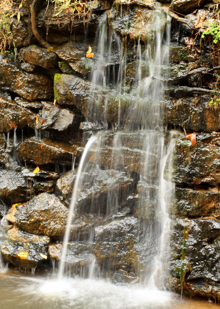
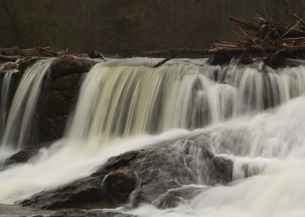
Related Photos:

God's Light

Cline Farm "Waterfall"
Rhyne Mill Dam

Old Lincolnton Rec Department
Water and Spirit

Sunset through the Weeds
Davis Falls 3
Orange Beauty
The Creek

Wildflower at Cline Farm
10 for 5 Cents

Iron Fence (HFF)
Man vs Nature

Small Cascade
Lineberger Brothers Cotton from the Backside
Cat Tails at Cline Farm

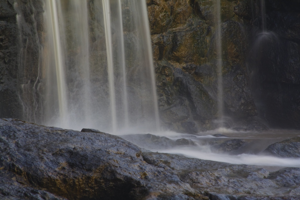
Davis Falls

Just out of the Kiln
Frozen Barbs
Snowy Barn (Still decked out for Christmas)
Toilet Included
Rhyne Mill on the South Fork River
Barn and Broomstraw
Davis Falls
Lighting up the Trees
Misty Base

Sunrise over a Pasture

If the kid's ears were any longer, she'd take flight...

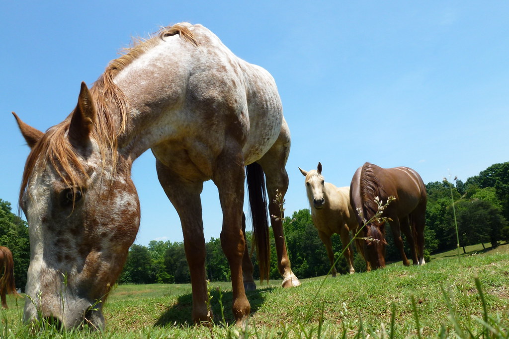
Floppy-eared Friends Flock Together

The Perfect Tee Time

Field of Dreams?
P1040656 (2)
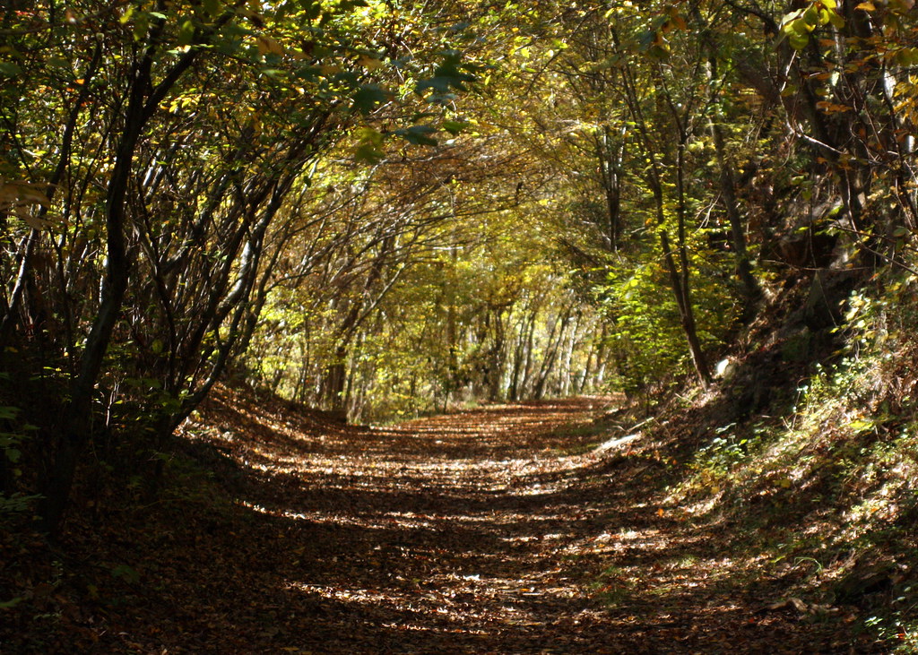
Into the Woods
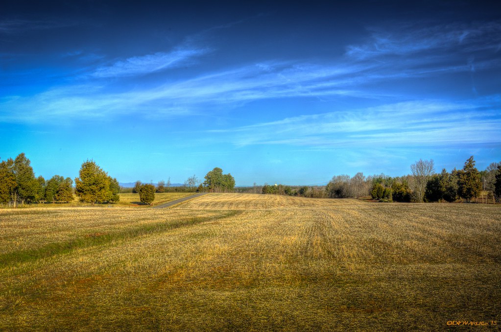
Harvested Field
Hole in the Dam

Storm at Sunset
South Fork "Falls" 2
Topographic Map of Roseland Dr, Lincolnton, NC, USA
Find elevation by address:

Places near Roseland Dr, Lincolnton, NC, USA:
1161 Confederate Rd
2586 Laboratory Rd
2520 Laboratory Rd
Sigmon St, Lincolnton, NC, USA
208 W Main St
206 Jonas Dr
Lincolnton
1990 Gastonia Hwy
Crouse
909 Hillard Ln
961 Hillard Ln
351 Grandview Ln
2443 Gastonia Hwy
2988 Long Shoals Rd
1964 Long Shoals Rd
Cline Farm
2713 Long Shoals Rd
2515 Gates Rd
Cline Farm Road
3240 Pine Tree St
Recent Searches:
- Elevation of Hercules Dr, Colorado Springs, CO, USA
- Elevation of Szlak pieszy czarny, Poland
- Elevation of Griffing Blvd, Biscayne Park, FL, USA
- Elevation of Kreuzburger Weg 13, Düsseldorf, Germany
- Elevation of Gateway Blvd SE, Canton, OH, USA
- Elevation of East W.T. Harris Boulevard, E W.T. Harris Blvd, Charlotte, NC, USA
- Elevation of West Sugar Creek, Charlotte, NC, USA
- Elevation of Wayland, NY, USA
- Elevation of Steadfast Ct, Daphne, AL, USA
- Elevation of Lagasgasan, X+CQH, Tiaong, Quezon, Philippines