Elevation of Gastonia Hwy, Lincolnton, NC, USA
Location: United States > North Carolina > Lincoln County > Lincolnton > Lincolnton >
Longitude: -81.230725
Latitude: 35.4342027
Elevation: 290m / 951feet
Barometric Pressure: 98KPa
Elevation Map:
Satellite Map:
Related Photos:

God's Light

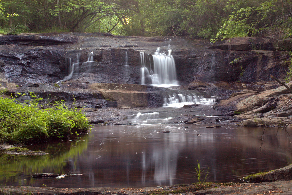
Cline Farm "Waterfall"
Man vs Nature

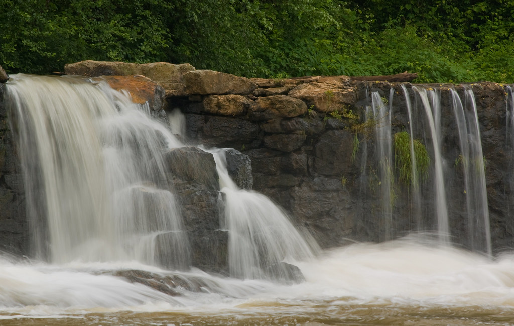
Davis Falls
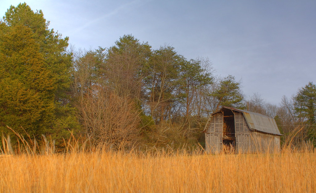
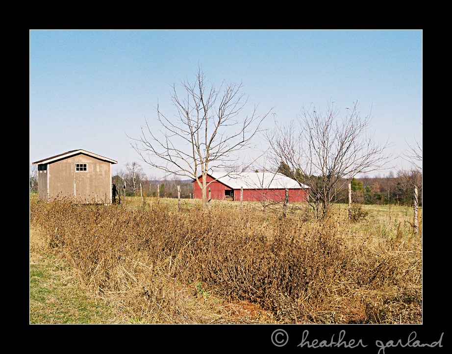
Barn and Broomstraw

Farmall Cub
Davis Falls
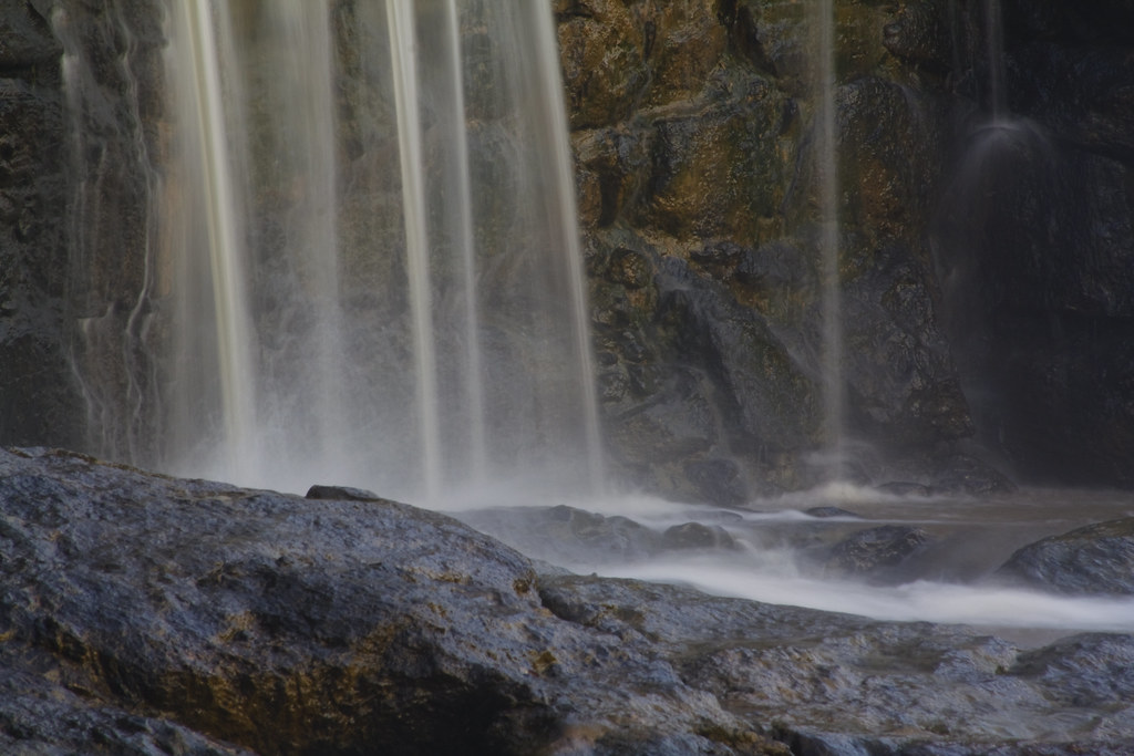
Misty Base

South Fork River

Orange Beauty

Wildflower at Cline Farm
The Creek

10 for 5 Cents

Iron Fence (HFF)

Tuckers Grove Campground - African Methodist Episcopal Church Retreat

Small Cascade

Cat Tails at Cline Farm

Just out of the Kiln
Water and Spirit

Toilet Included
Rhyne Mill Dam

The Perfect Tee Time
Into the Woods

Cherryville, NC
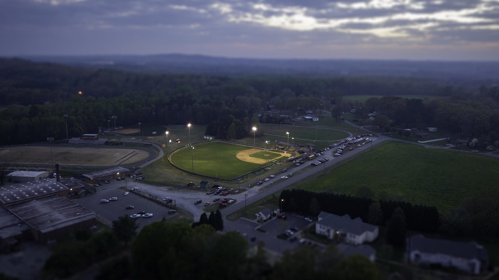
Baseball Tilt-Shift
Across the Field

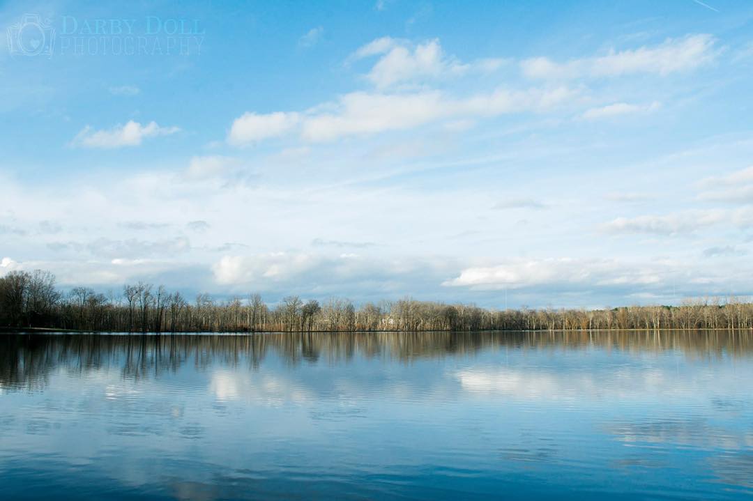
Rankin Lake V
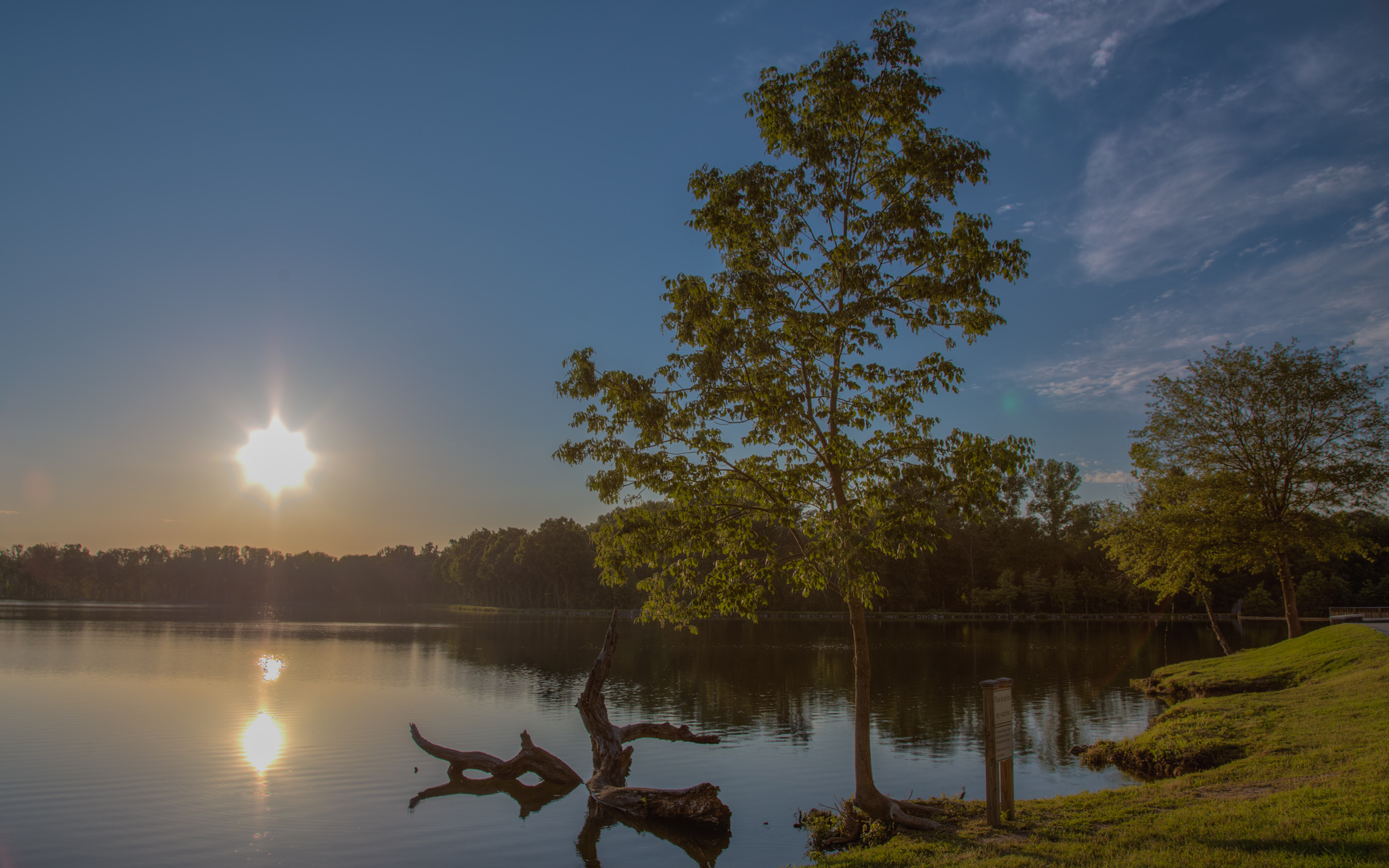
Rankin Lake VI

Field of Dreams?
P1040656 (2)

Fallen Tree

Mavic Pro Time
#photooftheday #landscape #rankinlakepark #mygaston #gorgeous

Rankin Lake IV

Tryon Sunrise

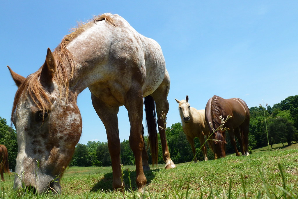
Like mother like daughter...
Topographic Map of Gastonia Hwy, Lincolnton, NC, USA
Find elevation by address:

Places near Gastonia Hwy, Lincolnton, NC, USA:
2515 Gates Rd
2713 Long Shoals Rd
351 Grandview Ln
1990 Gastonia Hwy
2988 Long Shoals Rd
3092 Gastonia Hwy
3240 Pine Tree St
1964 Long Shoals Rd
2520 Laboratory Rd
206 Jonas Dr
2586 Laboratory Rd
Sigmon St, Lincolnton, NC, USA
1161 Confederate Rd
Roseland Dr, Lincolnton, NC, USA
2129 E Main St
Lincolnton
208 W Main St
Bailey Spring Drive
Lincolnton
Crouse
Recent Searches:
- Elevation of Spaceport America, Co Rd A, Truth or Consequences, NM, USA
- Elevation of Warwick, RI, USA
- Elevation of Fern Rd, Whitmore, CA, USA
- Elevation of 62 Abbey St, Marshfield, MA, USA
- Elevation of Fernwood, Bradenton, FL, USA
- Elevation of Felindre, Swansea SA5 7LU, UK
- Elevation of Leyte Industrial Development Estate, Isabel, Leyte, Philippines
- Elevation of W Granada St, Tampa, FL, USA
- Elevation of Pykes Down, Ivybridge PL21 0BY, UK
- Elevation of Jalan Senandin, Lutong, Miri, Sarawak, Malaysia