Elevation of Gates Rd, Lincolnton, NC, USA
Location: United States > North Carolina > Lincoln County > Lincolnton > Lincolnton >
Longitude: -81.227636
Latitude: 35.4325903
Elevation: 295m / 968feet
Barometric Pressure: 98KPa
Elevation Map:
Satellite Map:
Related Photos:

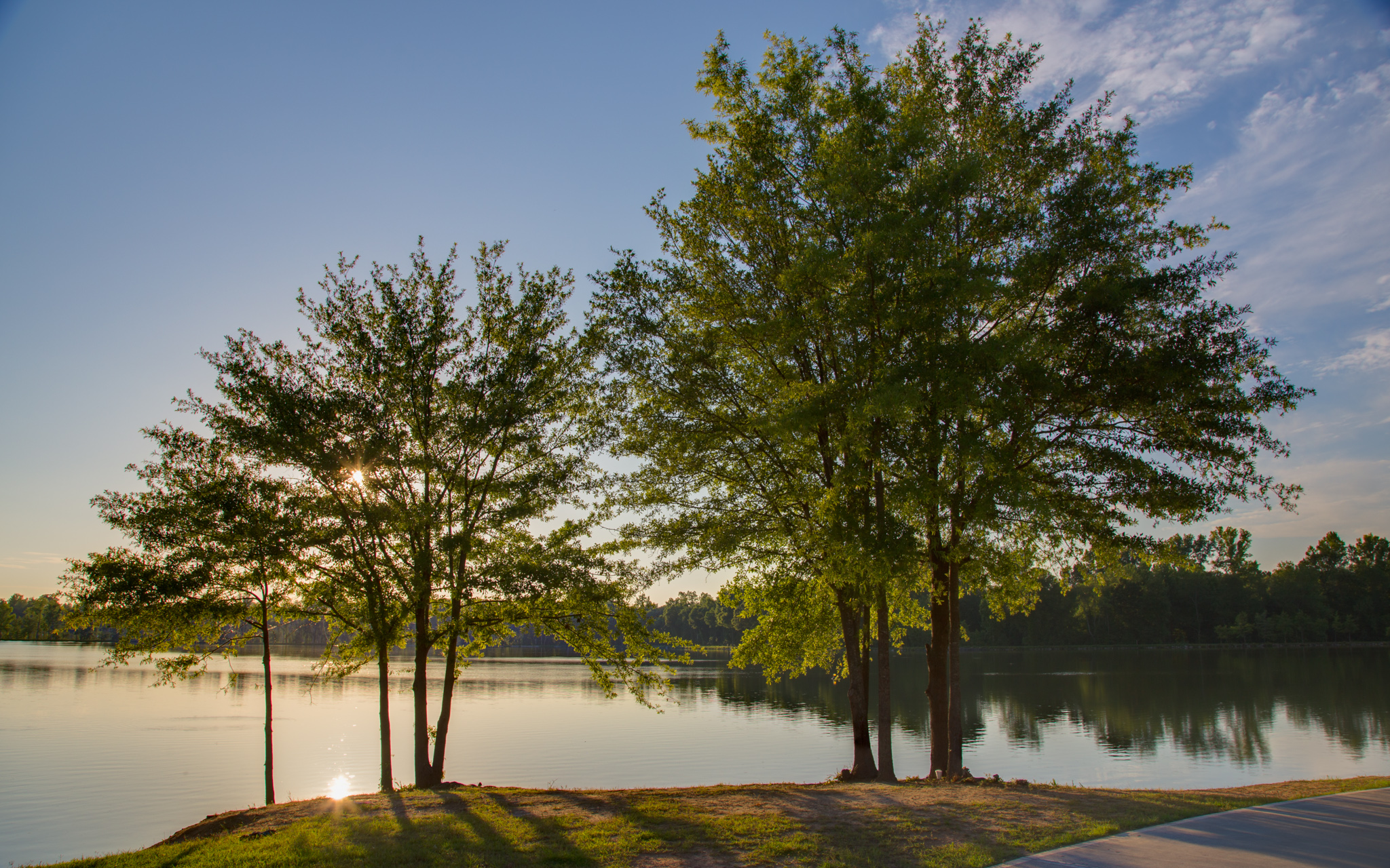
God's Light
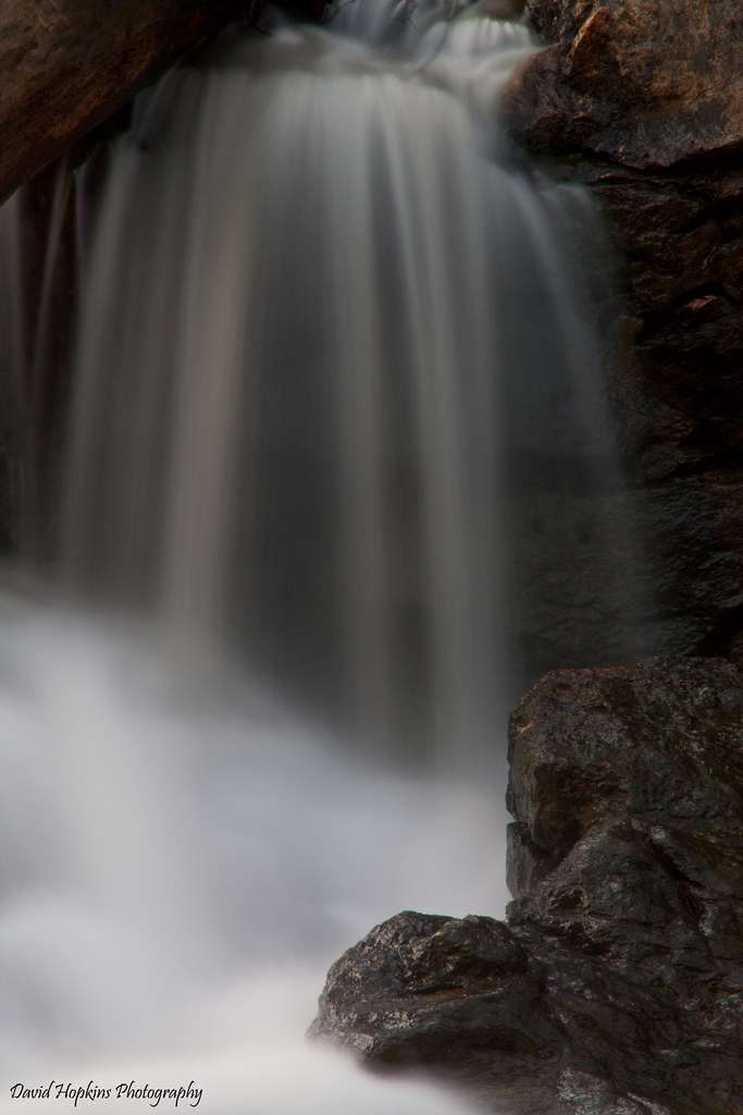
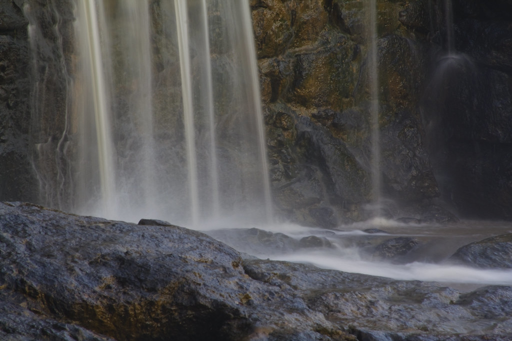
Davis Falls 3

Orange Beauty
Rhyne Mill Dam
Lineberger Brothers Cotton from the Backside

Iron Fence (HFF)

Wildflower Bokeh

Just out of the Kiln
Man vs Nature

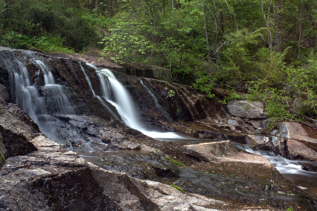
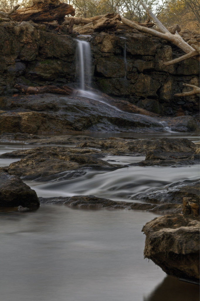
Davis Falls
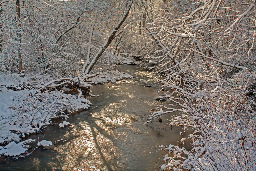
Howard's Creek
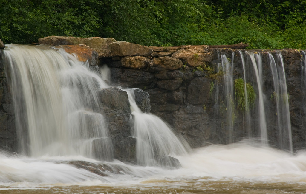
South Fork Cascade
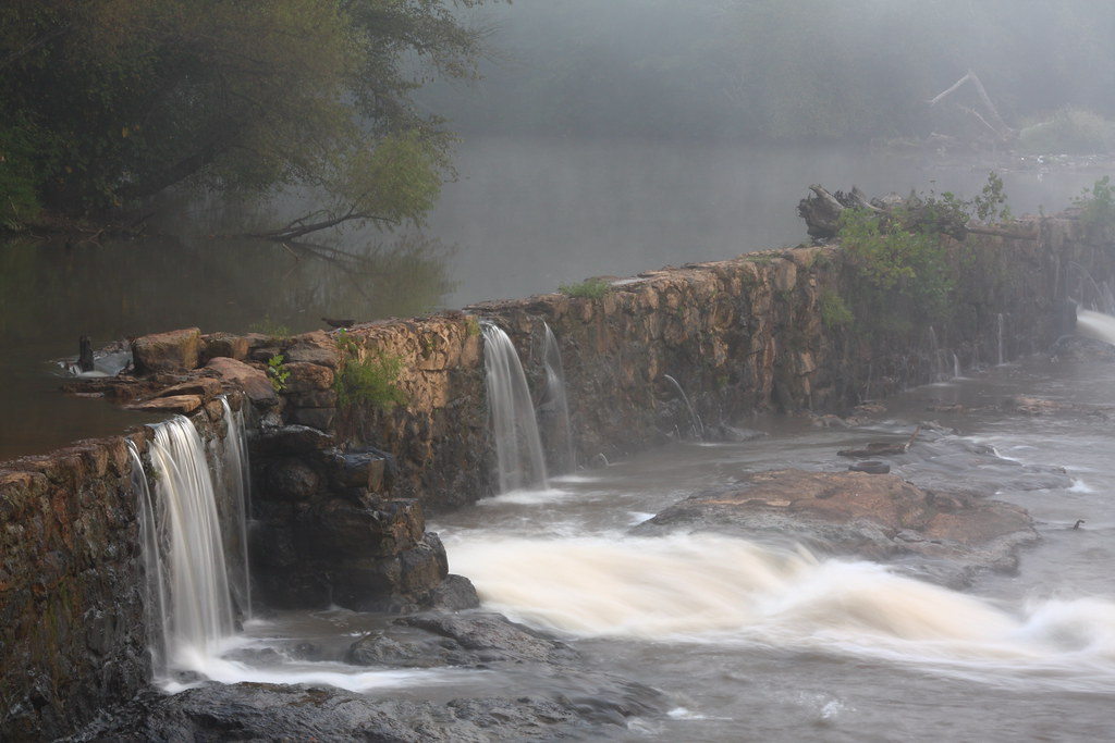
Rhyne Mill Dam
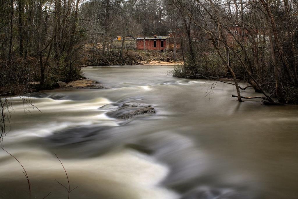
Rhyne Mill on the South Fork River
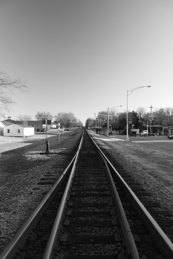
Life is like a rail line ...
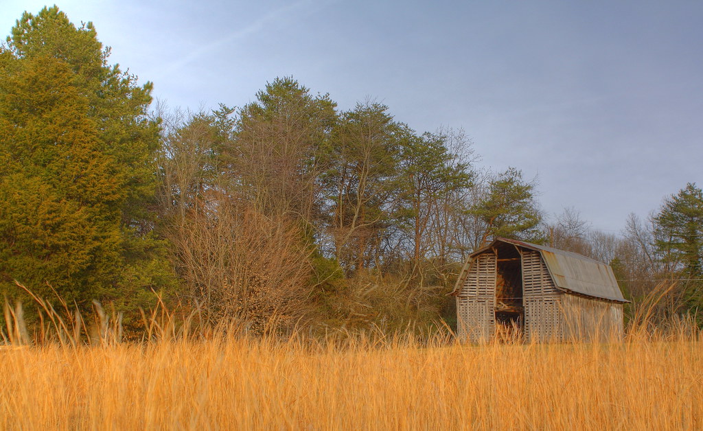
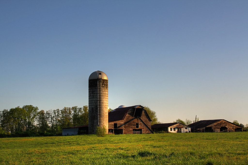
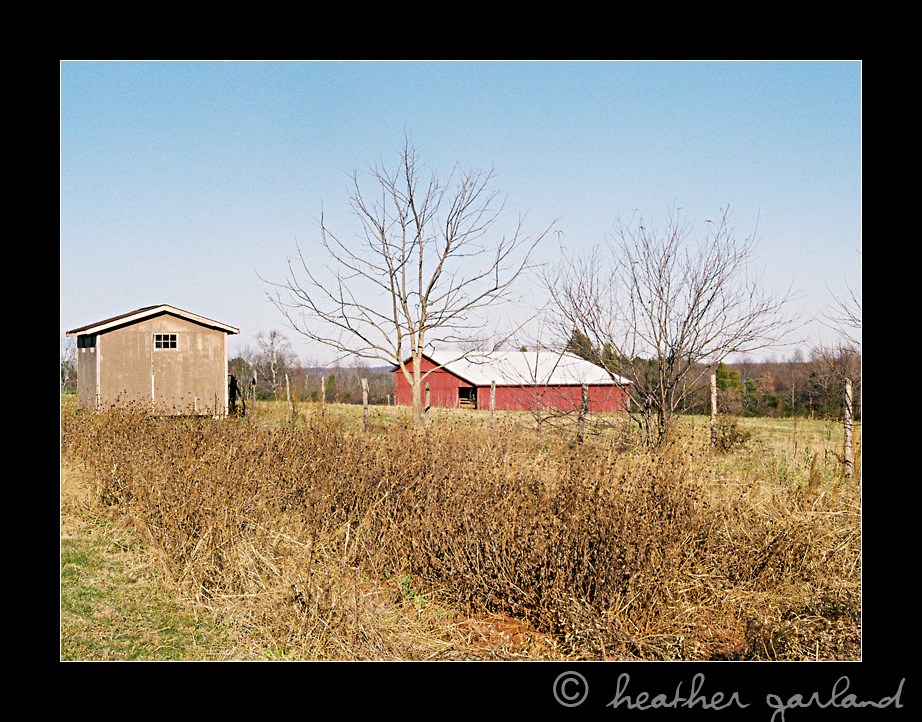
Barn and Broomstraw
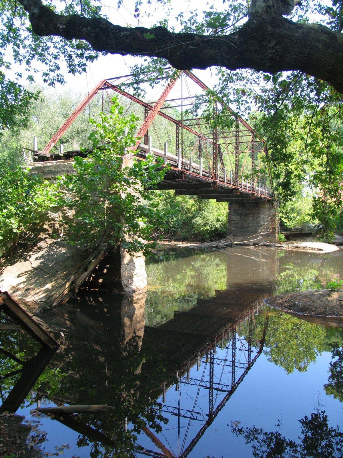
Old Hardin Road Bridge over South Fork River
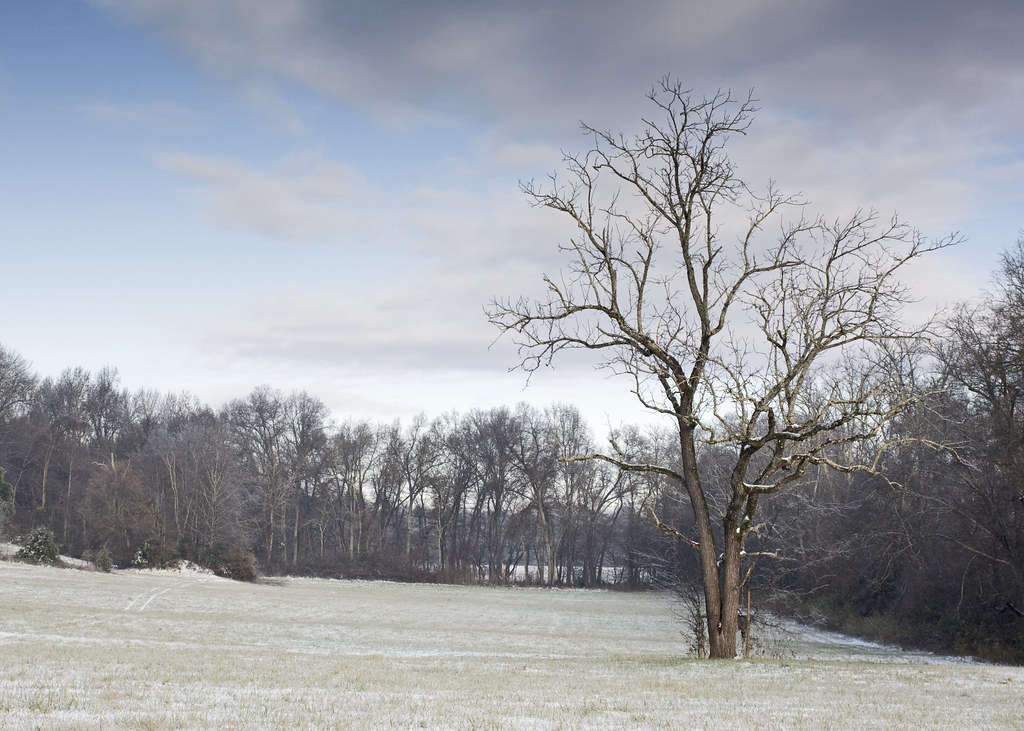
Tree in Field with Snow
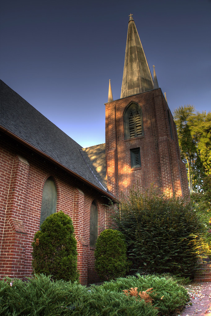
Saint Luke's Episcopal Church
Forgotten...
Misty Base

The Perfect Tee Time
P1040656 (2)

Cherryville, NC
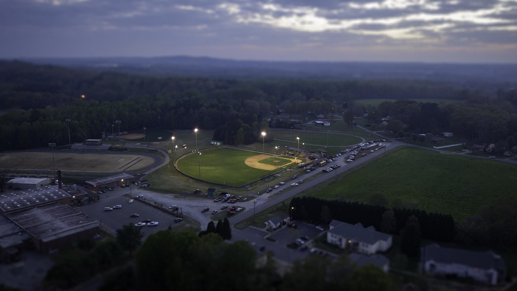
Baseball Tilt-Shift
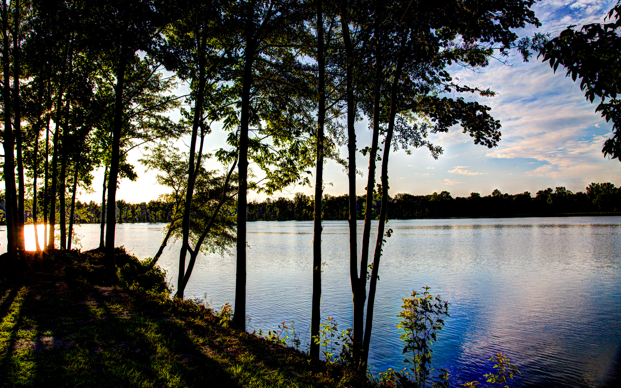
Rankin Lake I
Across the Field

Rankin Lake III
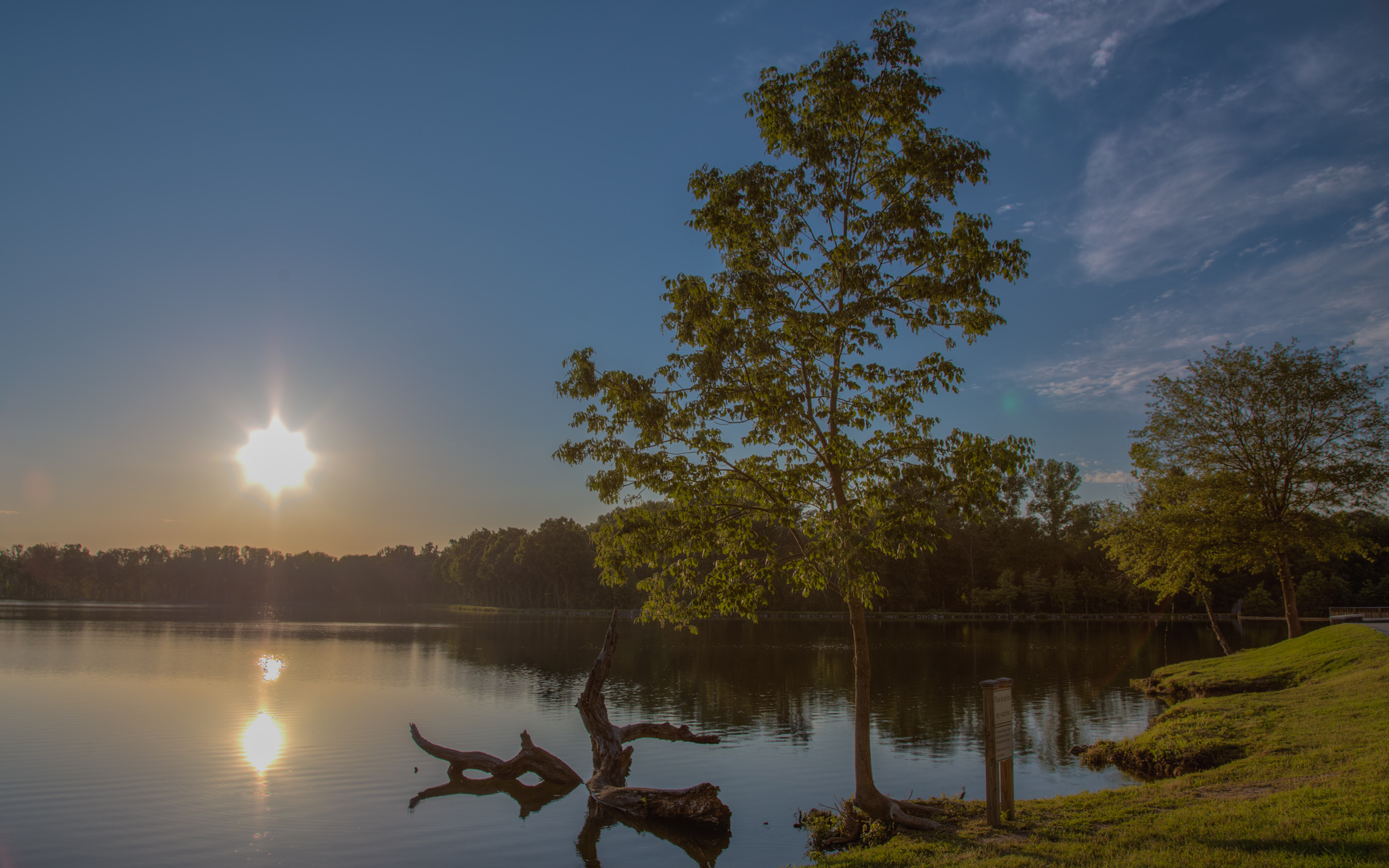
Rankin Lake VI

Field of Dreams?

Fallen Tree
Rankin Lake II

Mavic Pro Time
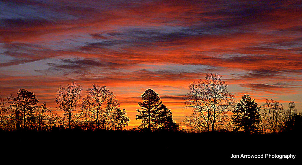
Tryon Sunrise
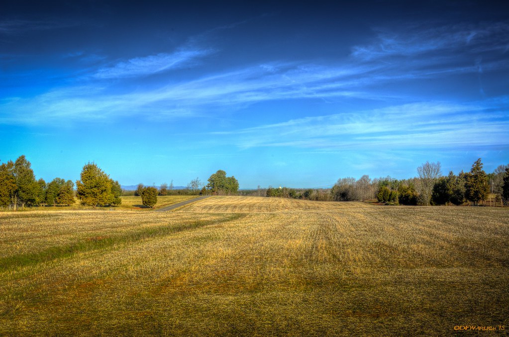
Harvested Field
Topographic Map of Gates Rd, Lincolnton, NC, USA
Find elevation by address:

Places near Gates Rd, Lincolnton, NC, USA:
2443 Gastonia Hwy
2713 Long Shoals Rd
351 Grandview Ln
3092 Gastonia Hwy
2988 Long Shoals Rd
1990 Gastonia Hwy
3240 Pine Tree St
1964 Long Shoals Rd
2520 Laboratory Rd
206 Jonas Dr
2586 Laboratory Rd
Sigmon St, Lincolnton, NC, USA
1161 Confederate Rd
2129 E Main St
Lincolnton
Roseland Dr, Lincolnton, NC, USA
208 W Main St
Bailey Spring Drive
Lincolnton
Crouse
Recent Searches:
- Elevation of Bernina Dr, Lake Arrowhead, CA, USA
- Elevation of N 82nd Pl, Mesa, AZ, USA
- Elevation of Snake Hill Rd, North Scituate, RI, USA
- Elevation of Lake Shore Dr, Warwick, RI, USA
- Elevation of E Brightview Ave, Pittsburgh, PA, USA
- Elevation of Cavendish Rd, Harringay Ladder, London N4 1RR, UK
- Elevation of 1 Zion Park Blvd, Springdale, UT, USA
- Elevation of Ganderbal
- Elevation map of Konkan Division, Maharashtra, India
- Elevation of Netaji Nagar, Hallow Pul, Kurla, Mumbai, Maharashtra, India