Elevation of Valley Lane, Valley Ln, Elgin, AZ, USA
Location: United States > Arizona > Santa Cruz County > Elgin >
Longitude: -110.57227
Latitude: 31.6113833
Elevation: 1518m / 4980feet
Barometric Pressure: 84KPa
Elevation Map:
Satellite Map:
Related Photos:

Grasshopper Porn

Bug Me Not

Simple Weeds

Wind Power!!

Hopper Hangout

Dream A Little Dream

Wine Press

Greetings Earthling

Color Field, Golden Grasses

Wine Grapes

Sonoita Platinum

View from Sonoita Vineyards

Callaghan Vineyards

View from Sonoita Vineyards

...sigh...

Research Ranch, Coronado National Forest, Cochise County, Arizona.
Arizona Farm

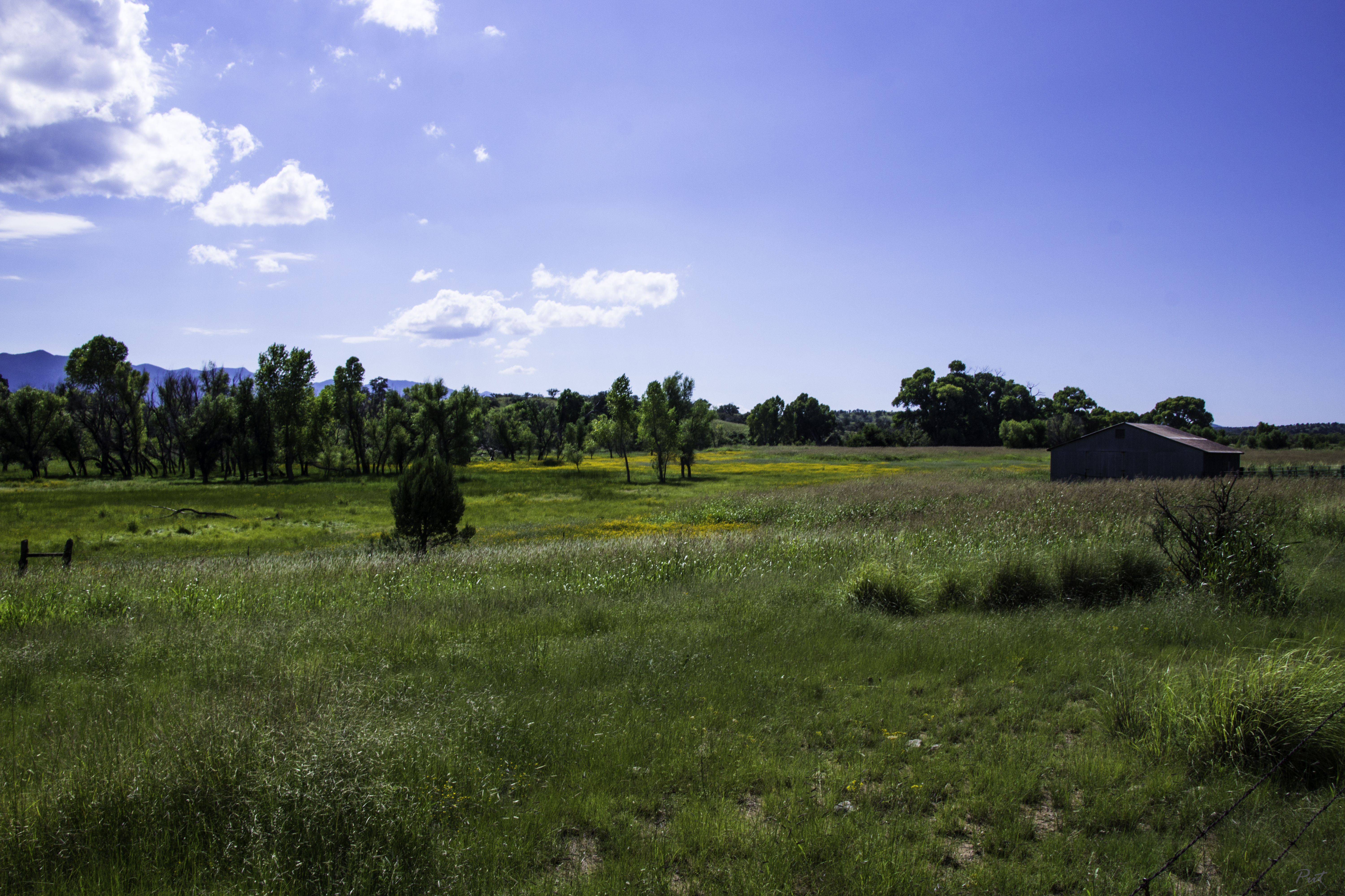
Southeastern Arizona Landscape (Santa Cruz County, Arizona)

Arizona March 2015

The Bisquit

Moonset over the San Rafael grasslands

Southeastern Arizona Landscape (Santa Cruz County, Arizona)
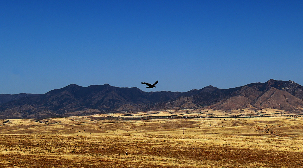
Soaring Over the Grasslands

Behind the Vineyard
Open Grazing

Southern Arizona Sunset

Research Ranch, Coronado National Forest, Cochise County, Arizona

Last Year's Vintage

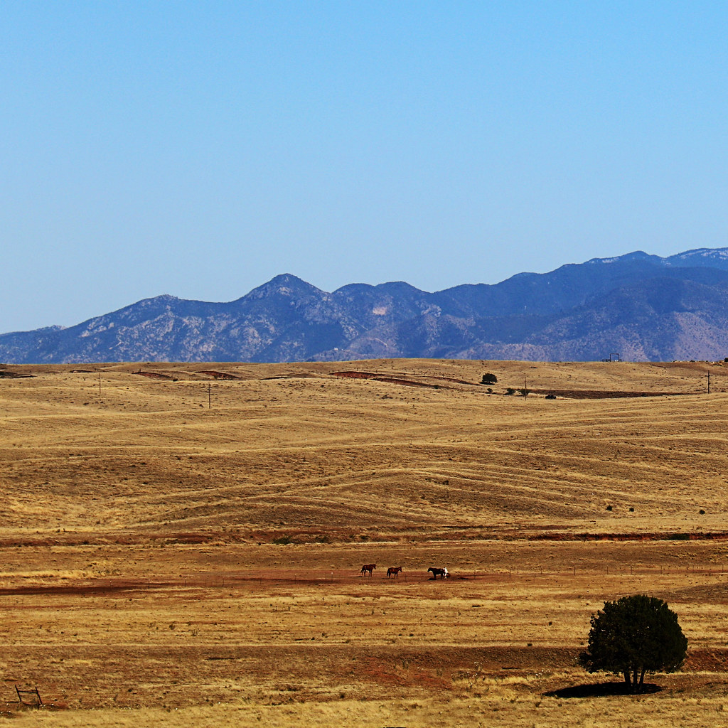
Antelope and the Mustang Mountains, Near Sonoita Arizona
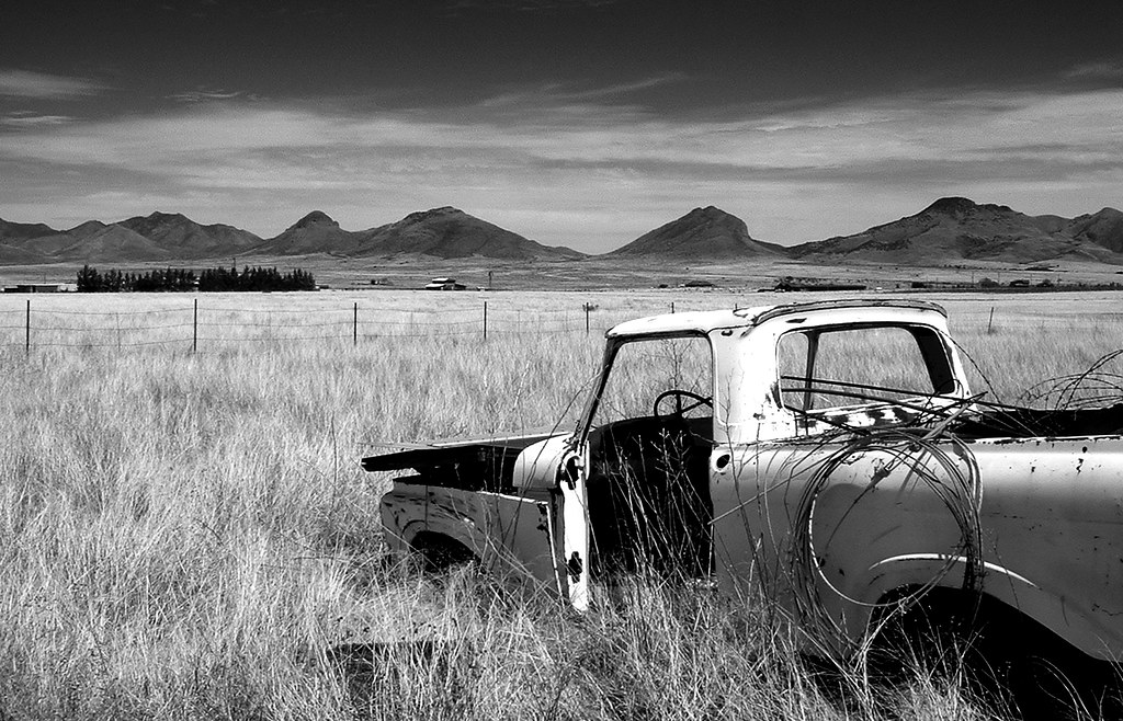
End of the Road
Topographic Map of Valley Lane, Valley Ln, Elgin, AZ, USA
Find elevation by address:

Places near Valley Lane, Valley Ln, Elgin, AZ, USA:
65 Sunrise Ln
103 Papago Springs Rd
103 Papago Springs Rd
91 Agave Ln
331 Elgin Rd
62 Homestead Ln
35 Roadog Way
10 Buffalo Ct #54
Elgin
AZ-83, Elgin, AZ, USA
11 Papago Springs Rd
Dos Cabezas Wineworks
Santa Cruz County Fair And Rodeo Association
Sonoita
369 Upper Elgin Rd
40 Brushy Canyon Rd
40 Brushy Canyon Rd
111 Hog Canyon Rd
Lyle Canyon Road
Wood Canyon Road
Recent Searches:
- Elevation of 72-31 Metropolitan Ave, Middle Village, NY, USA
- Elevation of 76 Metropolitan Ave, Brooklyn, NY, USA
- Elevation of Alisal Rd, Solvang, CA, USA
- Elevation of Vista Blvd, Sparks, NV, USA
- Elevation of 15th Ave SE, St. Petersburg, FL, USA
- Elevation of Beall Road, Beall Rd, Florida, USA
- Elevation of Leguwa, Nepal
- Elevation of County Rd, Enterprise, AL, USA
- Elevation of Kolchuginsky District, Vladimir Oblast, Russia
- Elevation of Shustino, Vladimir Oblast, Russia