Elevation of Upper Elgin Rd, Elgin, AZ, USA
Location: United States > Arizona > Santa Cruz County > Elgin >
Longitude: -110.52166
Latitude: 31.713371
Elevation: 1513m / 4964feet
Barometric Pressure: 84KPa
Elevation Map:
Satellite Map:
Related Photos:

Grasshopper Porn
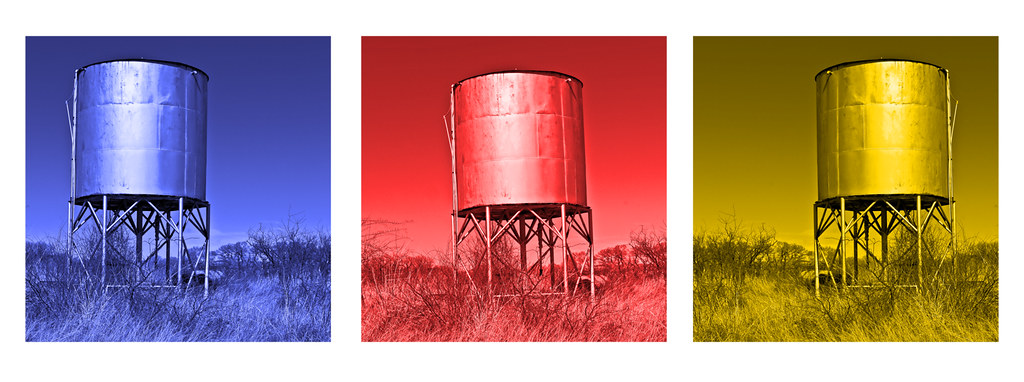
Empire Ranch #28 2017; Three Tanks

Wind Power!!

Night time views

Hopper Hangout

Morning Snowfall, Santa Rita Mountains, Arizona

Bug Me Not

Wine Press

Greetings Earthling

Morning Snowfall, Santa Rita Mountains, Arizona

Wine Grapes

Morning Snowfall, Santa Rita Mountains, Arizona

View from Sonoita Vineyards

Callaghan Vineyards

View from Sonoita Vineyards

P9142998 Wide-angle view from doorway

...sigh...

Ranch Fence
Open Grazing

Research Ranch, Coronado National Forest, Cochise County, Arizona.

In Between

Research Ranch, Coronado National Forest, Cochise County, Arizona

S.R. 82 Between Sonoita and Tombstone, Arizona (5)

Arizona March 2015

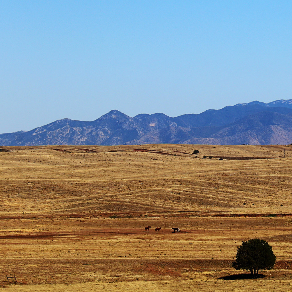
Sonoita Grasslands

Still Standing
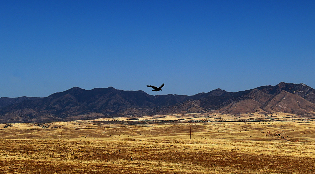
Soaring Over the Grasslands

Behind the Vineyard

Last Year's Vintage

queen on thistle at Las Cienegas NCA AZ 854A0394

Looking into the Valley

Light on the Mountains

Snow Covered Hills

Snowy Whetstones
Topographic Map of Upper Elgin Rd, Elgin, AZ, USA
Find elevation by address:

Places near Upper Elgin Rd, Elgin, AZ, USA:
35 Roadog Way
Elgin
331 Elgin Rd
62 Homestead Ln
91 Agave Ln
10 Buffalo Ct #54
Valley Lane
2278 N Carlson Canyon Dr
North Rascal Ranch Road
65 Sunrise Ln
Dos Cabezas Wineworks
Sonoita
Santa Cruz County Fair And Rodeo Association
11 Papago Springs Rd
2358 N Hummingbird Rd
570 W Sunset Rd
520 W Camino De Manana
103 Papago Springs Rd
103 Papago Springs Rd
AZ-83, Elgin, AZ, USA
Recent Searches:
- Elevation of N, Mt Pleasant, UT, USA
- Elevation of 6 Rue Jules Ferry, Beausoleil, France
- Elevation of Sattva Horizon, 4JC6+G9P, Vinayak Nagar, Kattigenahalli, Bengaluru, Karnataka, India
- Elevation of Great Brook Sports, Gold Star Hwy, Groton, CT, USA
- Elevation of 10 Mountain Laurels Dr, Nashua, NH, USA
- Elevation of 16 Gilboa Ln, Nashua, NH, USA
- Elevation of Laurel Rd, Townsend, TN, USA
- Elevation of 3 Nestling Wood Dr, Long Valley, NJ, USA
- Elevation of Ilungu, Tanzania
- Elevation of Yellow Springs Road, Yellow Springs Rd, Chester Springs, PA, USA