Elevation of North Rascal Ranch Road, N Rascal Ranch Rd, Arizona, USA
Location: United States > Arizona > Cochise County > Huachuca City >
Longitude: -110.39274
Latitude: 31.6895666
Elevation: 1393m / 4570feet
Barometric Pressure: 86KPa
Elevation Map:
Satellite Map:
Related Photos:

Comedy lightpole twins in a desert.

Night time views

Hopper Hangout

Grasshopper Porn

Privateer PB4Y-2 at Libby Field AZ July 1976

Bug Me Not

Wine Press

Greetings Earthling

Wine Grapes

Sierra Vista Mountains

View from Sonoita Vineyards

Callaghan Vineyards

View from Sonoita Vineyards

Mountain at Schofield

front yard view

Started my run at 6am to this beautiful view

Research Ranch, Coronado National Forest, Cochise County, Arizona.

In Between

STRATCOM Patch
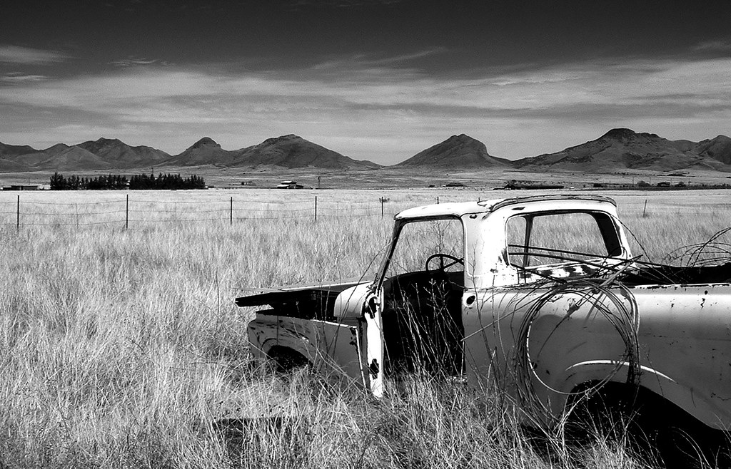
End of the Road

S.R. 82 Between Sonoita and Tombstone, Arizona (5)

S.R. 82 Between Sonoita and Tombstone, Arizona

The Whetstones

S.R. 82 Between Sonoita and Tombstone, Arizona (6)

_MG_6977.jpg

Free Range

Blurred green

Landscape: Allegra Mount stands on Gabion

Ft. Huachuca

Research Ranch, Coronado National Forest, Cochise County, Arizona

Arizona March 2015
Topographic Map of North Rascal Ranch Road, N Rascal Ranch Rd, Arizona, USA
Find elevation by address:

Places near North Rascal Ranch Road, N Rascal Ranch Rd, Arizona, USA:
2278 N Carlson Canyon Dr
2358 N Hummingbird Rd
570 W Sunset Rd
520 W Camino De Manana
109 E Vía Guamuchil
W Railroad Dr, Huachuca City, AZ, USA
Huachuca City
2113 N Colins Pl
Sands Ranch Road
369 Upper Elgin Rd
Elgin
Fort Huachuca Commissary
Rhea Avenue
Craig St, Fort Huachuca, AZ, USA
Fort Huachuca
157 Grierson Ave
100 Ramos Ct
Evans St, Sierra Vista, AZ, USA
35 Roadog Way
Kartchner Caverns State Park
Recent Searches:
- Elevation of Royal Ontario Museum, Queens Park, Toronto, ON M5S 2C6, Canada
- Elevation of Groblershoop, South Africa
- Elevation of Power Generation Enterprises | Industrial Diesel Generators, Oak Ave, Canyon Country, CA, USA
- Elevation of Chesaw Rd, Oroville, WA, USA
- Elevation of N, Mt Pleasant, UT, USA
- Elevation of 6 Rue Jules Ferry, Beausoleil, France
- Elevation of Sattva Horizon, 4JC6+G9P, Vinayak Nagar, Kattigenahalli, Bengaluru, Karnataka, India
- Elevation of Great Brook Sports, Gold Star Hwy, Groton, CT, USA
- Elevation of 10 Mountain Laurels Dr, Nashua, NH, USA
- Elevation of 16 Gilboa Ln, Nashua, NH, USA