Elevation of Santa Cruz County, AZ, USA

Location: United States > Arizona >

Longitude: -110.80760

Latitude: 31.5986127

Elevation: 1507m / 4944feet

Barometric Pressure: 84KPa

Elevation Map:

elevation map of Santa Cruz County, AZ, USA

Satellite Map:

Satellite map of Santa Cruz County, AZ, USA

Related Photos:

arizona lightpainting nature night stars landscape star trails az science astro observatory astrophotography astronomy startrails starrynight polaris northstar circumpolar asronomy mounthopkins fredlawrencewhippleobservatory whippleobservatory 2012a
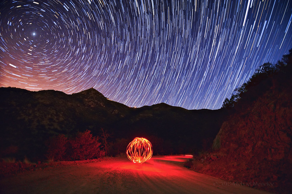
Whirled Whipple Observatory
arizona desert canon5d ptgui equirectangular canon15mm nodalninja3 garretveley
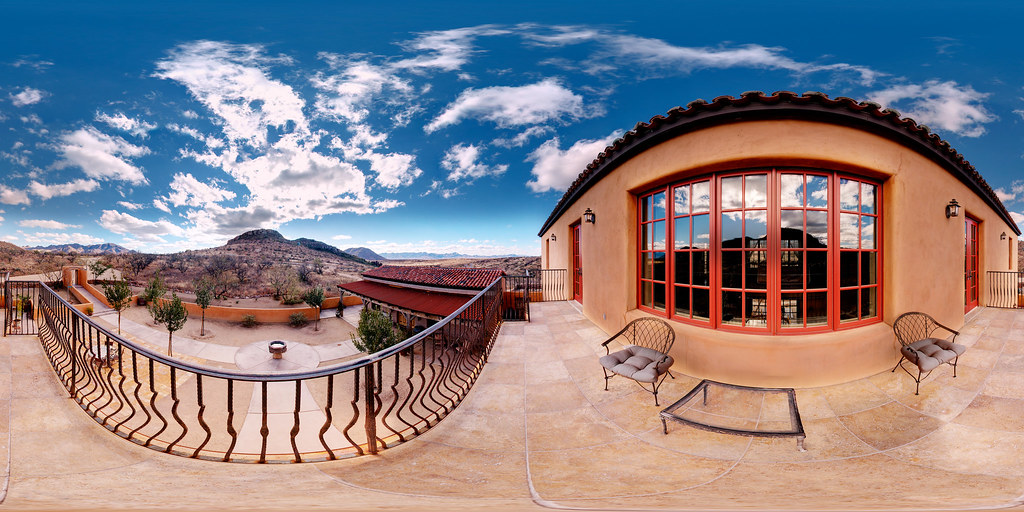
Balcony Scene, Villa Serena
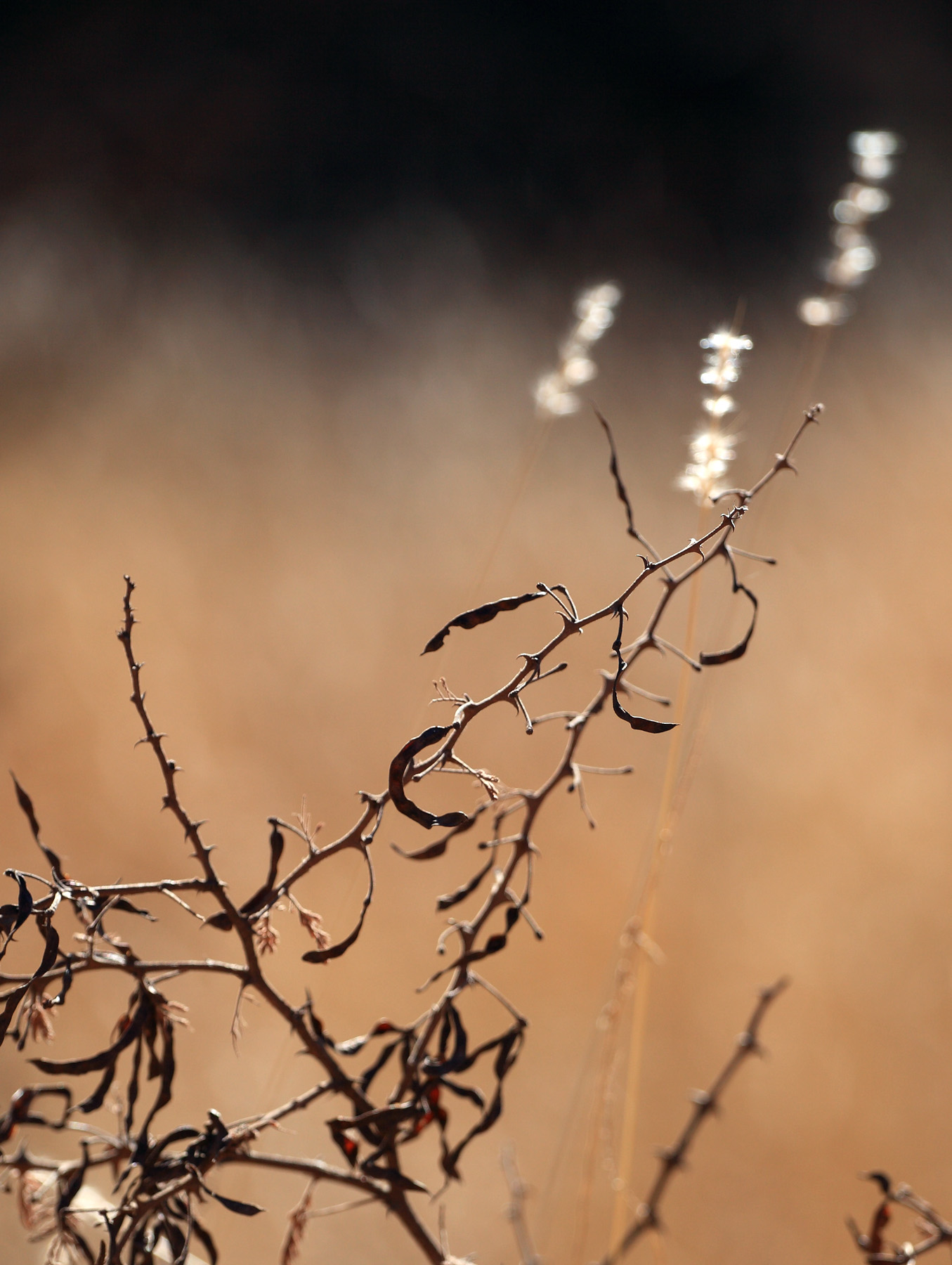
arizona patagonia abstract nature closeup composition weeds canon5dmarkii
Simple Weeds
arizona landscape canon5d garretveley
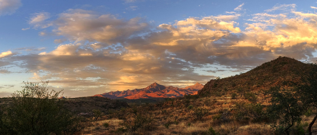
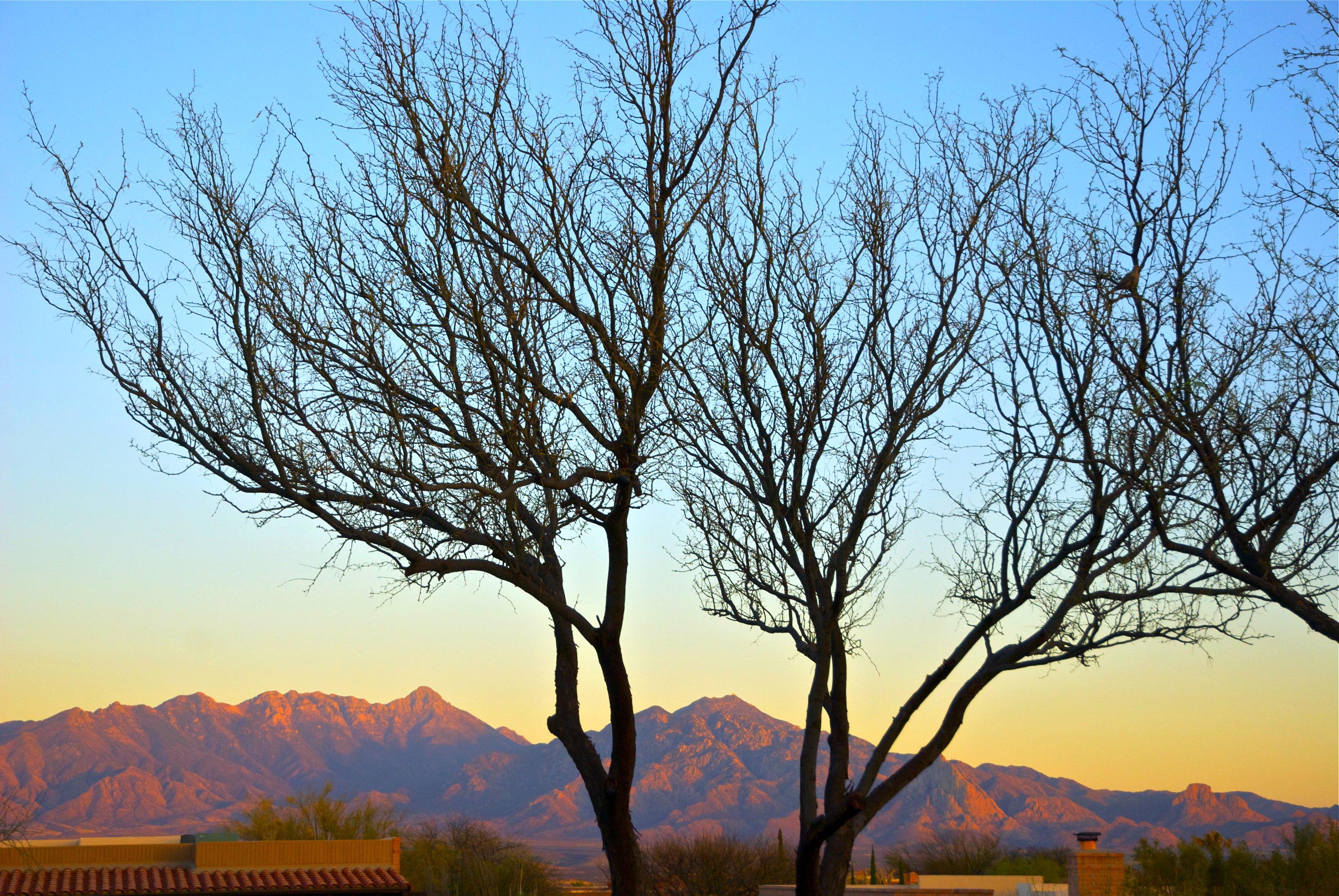
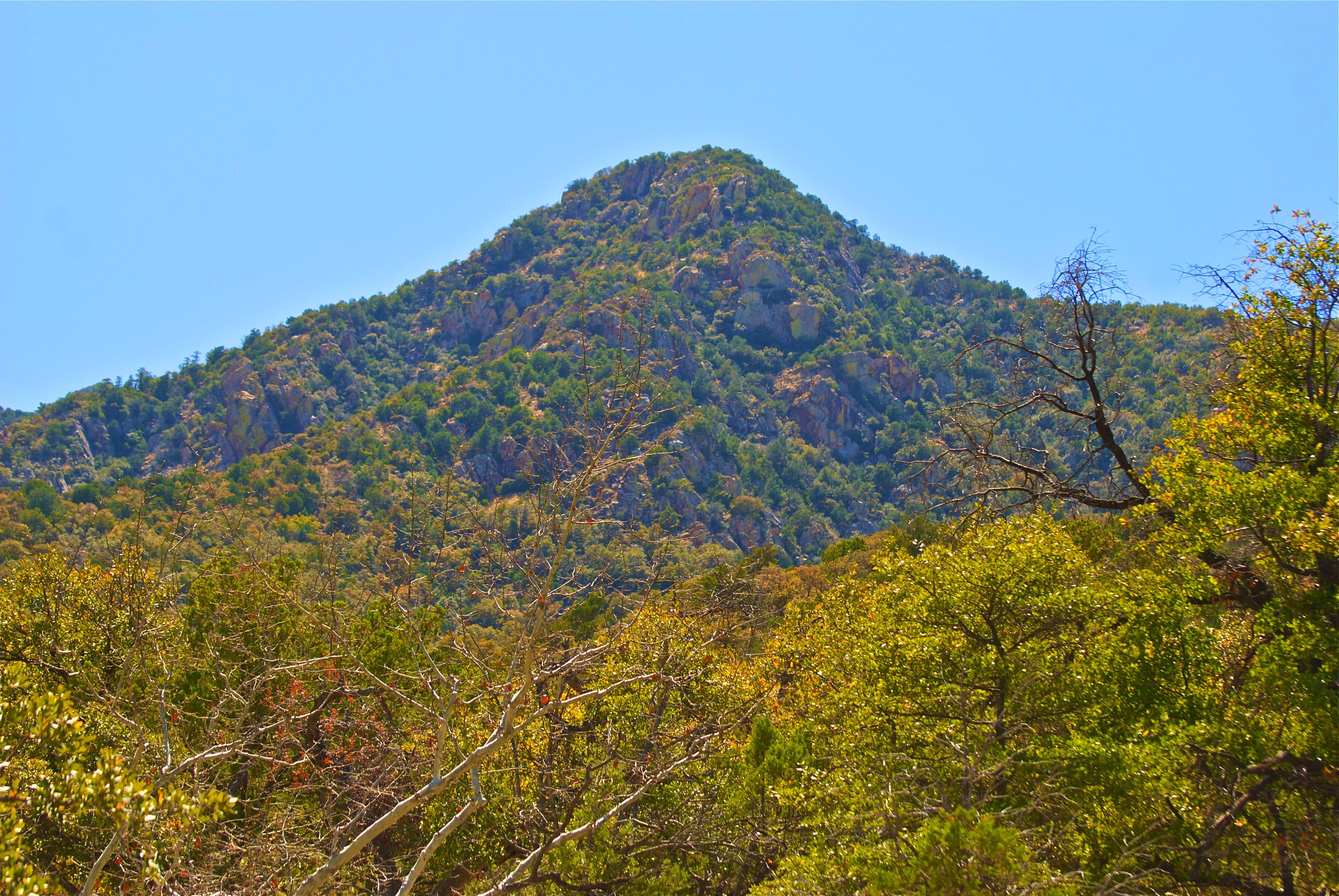
Sunset View of Mt. Hopkins, Arizona
trees vacation arizona sky nature water clouds reflections ir highcontrast infrared naturalbeauty patagonialake infraredphotography convertedinfraredcamera patagonialakestatepark
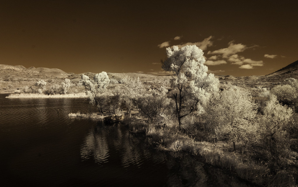
View Of Patagonia Lake
arizona mountains raw greenvalley santarita
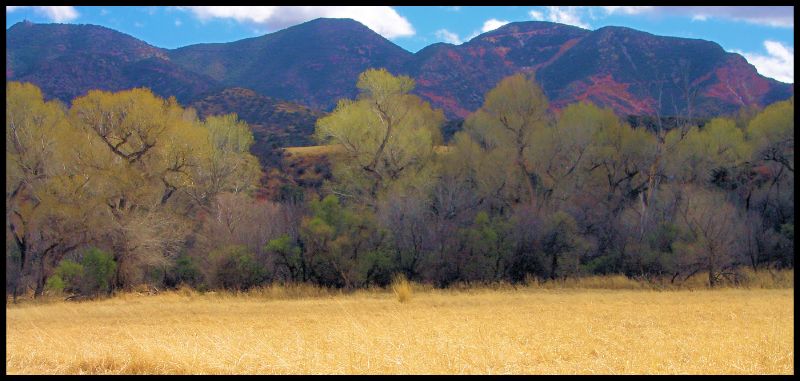
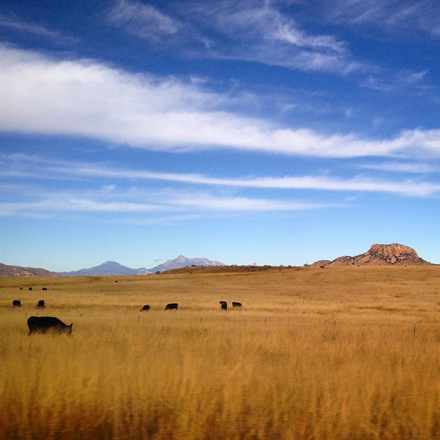
Mesquites and the Santa Rita Mountains
arizona portrait hairy mountains macro face k lens 50mm prime spider diy jumping desert pentax tucson head thomas arachnid flash tubes homemade national extension reversed coronado smc vivitar softbox diffuser arachnology arthropod kx macrophotography bayonet salticid shahan palps foest f17 salticidae kmount thyristor taxonomy:genus=habronattus
Male Habronattus sp. - Arizona
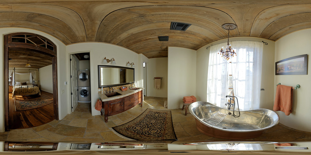
arizona panorama bathroom interior pano sphere canon5d stitched 360x180 ptgui equirectangular canon15mm nodalninja3 garretveley tuabc
Villa Serena - Bath
arizona portrait macro slr face closeup vintage hair lens 50mm prime spider diy jumping eyes arms pentax head thomas arachnid flash tubes homemade extension reversed fangs dslr smc vivitar softbox diffuser entomology arachnology arthropod kx macrophotography salticid shahan palps f17 ucberkley salticidae chelicerae pedipalps thyristor habronattus eliaslab taxonomy:binomial=habronattusvirgulatus
Male Habronattus virgulatus Jumping Spider - Arizona
arizona insect fly fieldtrip diptera beefly eol canonef100mmf28macrousm bombyliidae anthracinae fridayflyday poecilanthraxeffrenus poecilanthrax bugguidegathering2013 taxonomy:binomial=poecilanthraxeffrenus
Handsome Arizona Bee Fly
Ridge Dorm View - Mt Hopkins
arizona canon5d ptgui equirectangular canon15mm nodalninja3 garretveley
Villa Serena - and its Amazing View
canon5d ptgui equirectangular canon15mm nodalninja3 garretveley
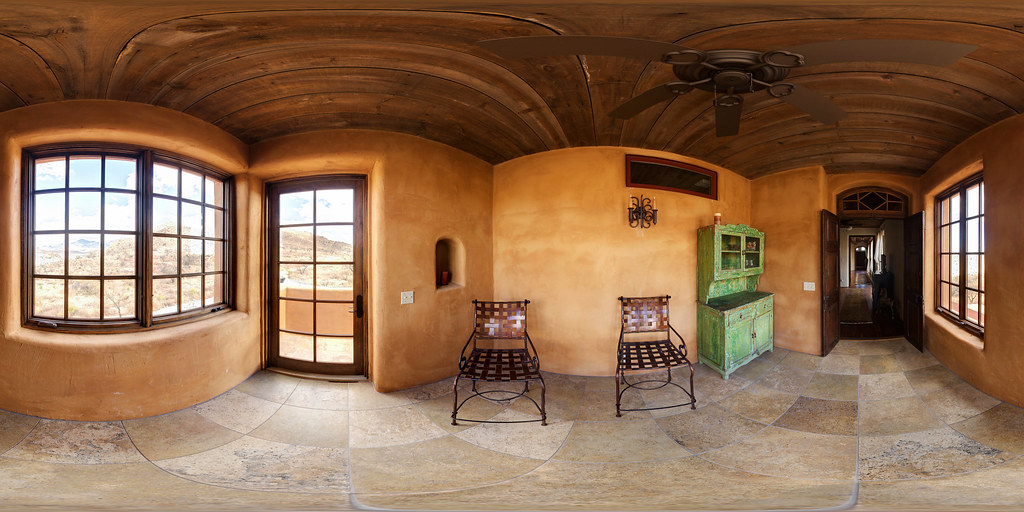
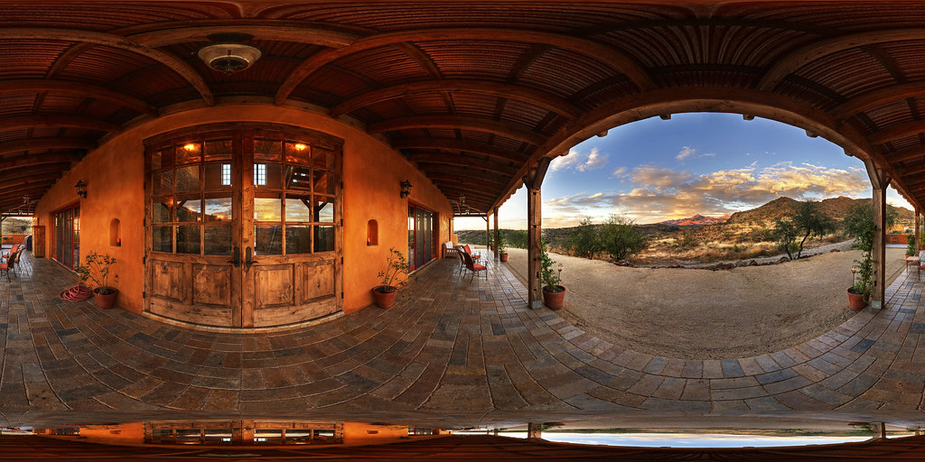
Villa Serena Side Entry and Sun Room
arizona canon5d ptgui equirectangular canon15mm nodalninja3 garretveley
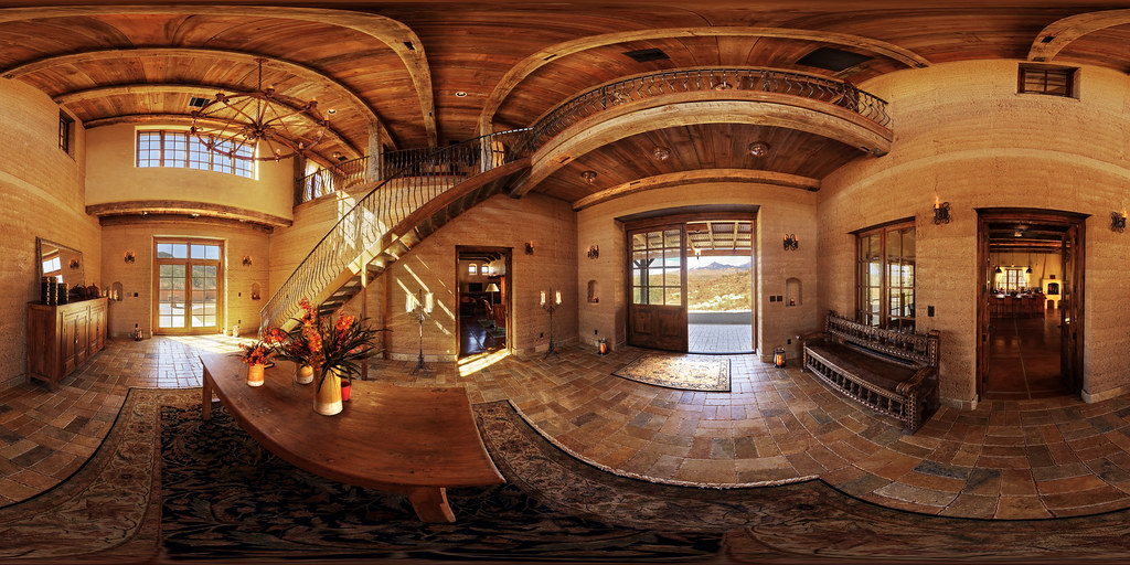
Villa Serena - Entry Area (So Nice!)
bridge arizona composition ir highcontrast infrared infraredphotography convertedinfraredcamera patagonialakestatepark
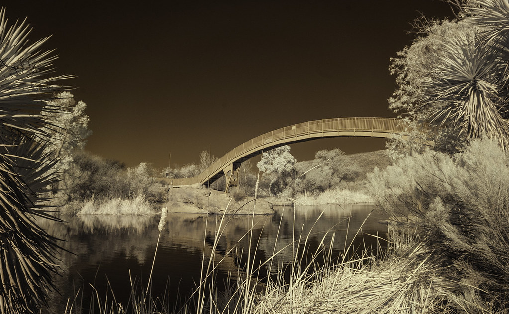
Bridge At Patagonia Lake State Park
arizona canon5d ptgui equirectangular canon15mm nodalninja3 garretveley
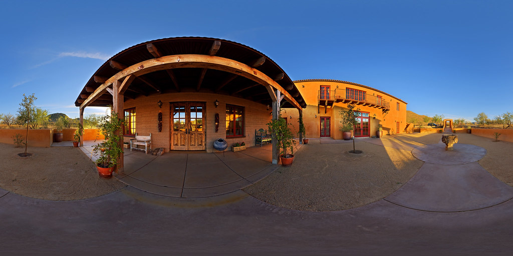
Villa Serena - Courtyard and Casita
Ridge Dorm View - Mt Hopkins
arizona panorama interior pano sphere canon5d stitched 360x180 tubac ptgui equirectangular canon15mm nodalninja3 garretveley
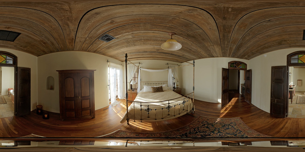
Villa Serena - Bedroom
aerial
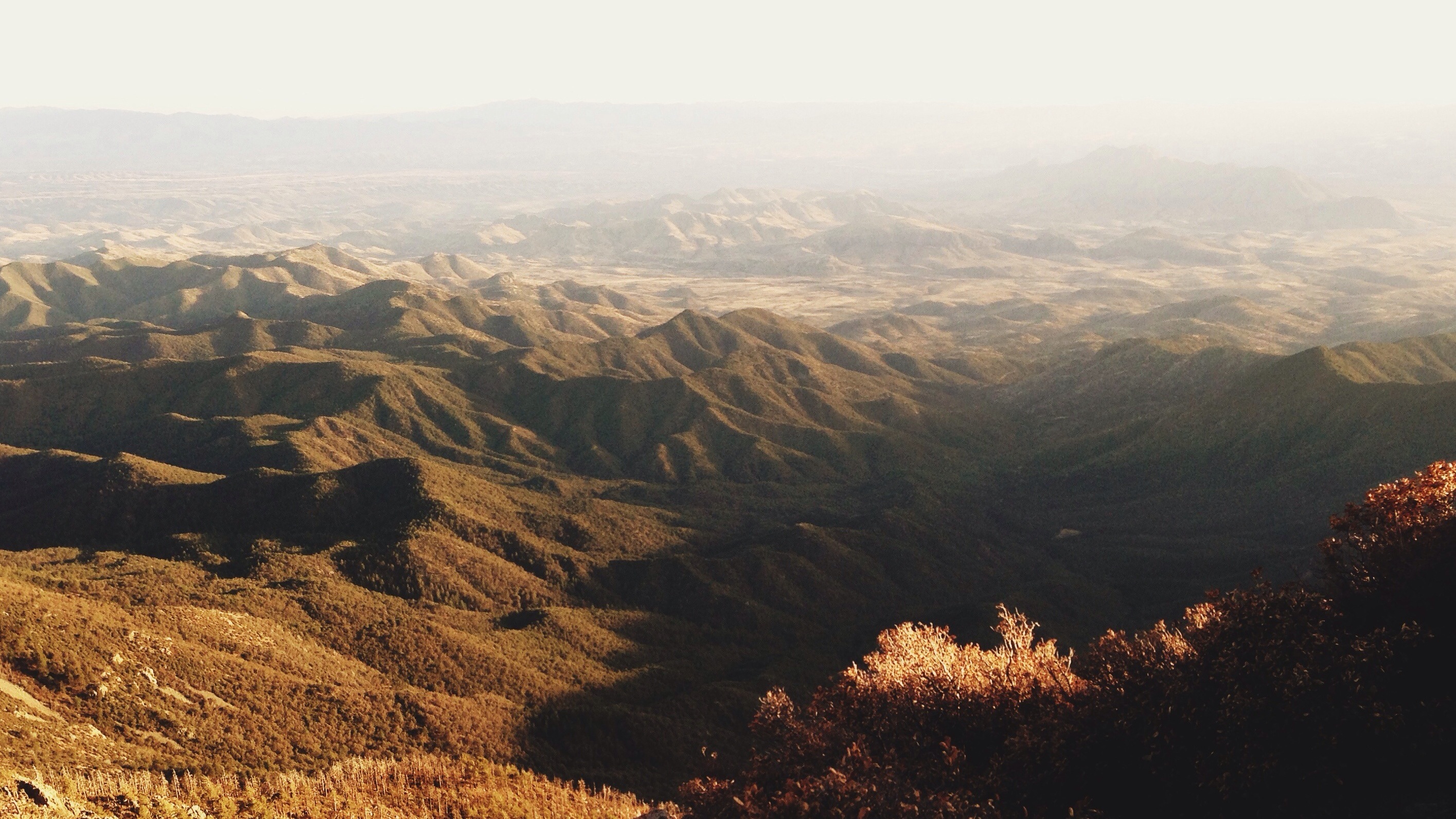
Aerial View of Arizona
arizona canon5d ptgui equirectangular canon15mm nodalninja3 garretveley
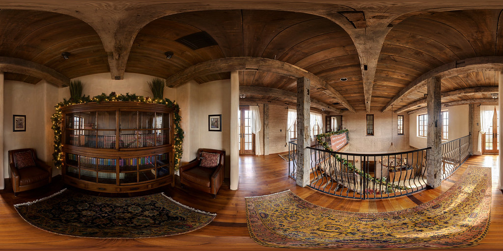
Library at Villa Serena
arizona unitedstates maderacanyon coronadonationalforest santacruzcounty trochilidae broadbilledhummingbird cynanthuslatirostris santaritamountains santaritalodge madreanskyisland ebirdhotspot
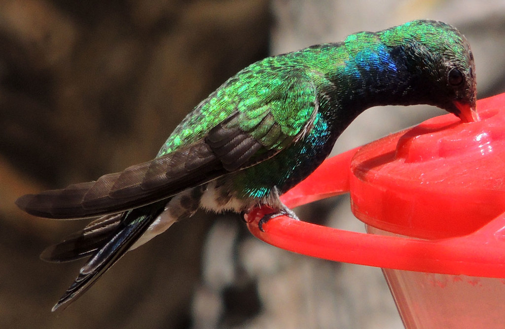
Broad-billed Hummingbird in Madera Canyon
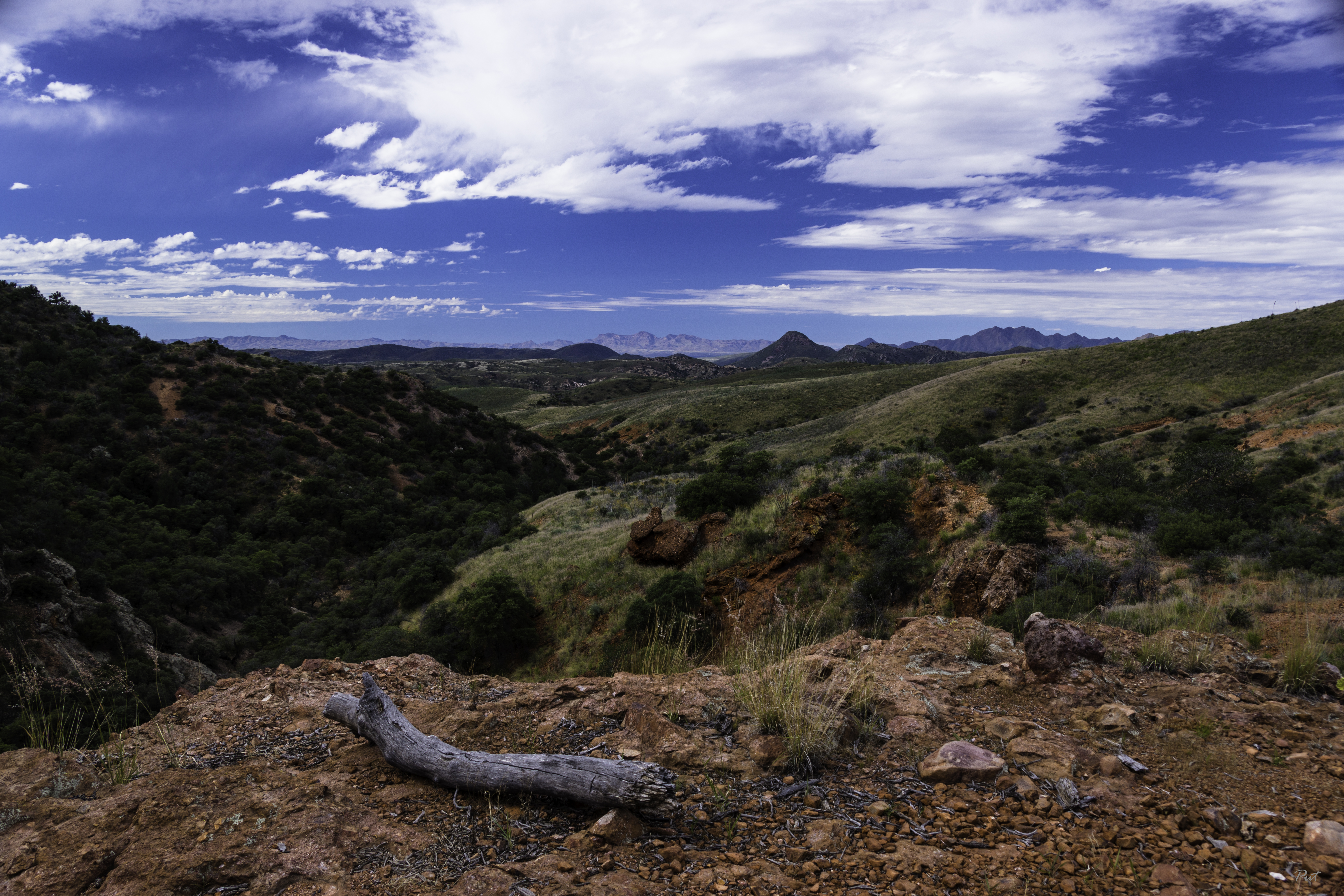
arizona az patagoniamountains azteccanyon
Overlooking Sonora
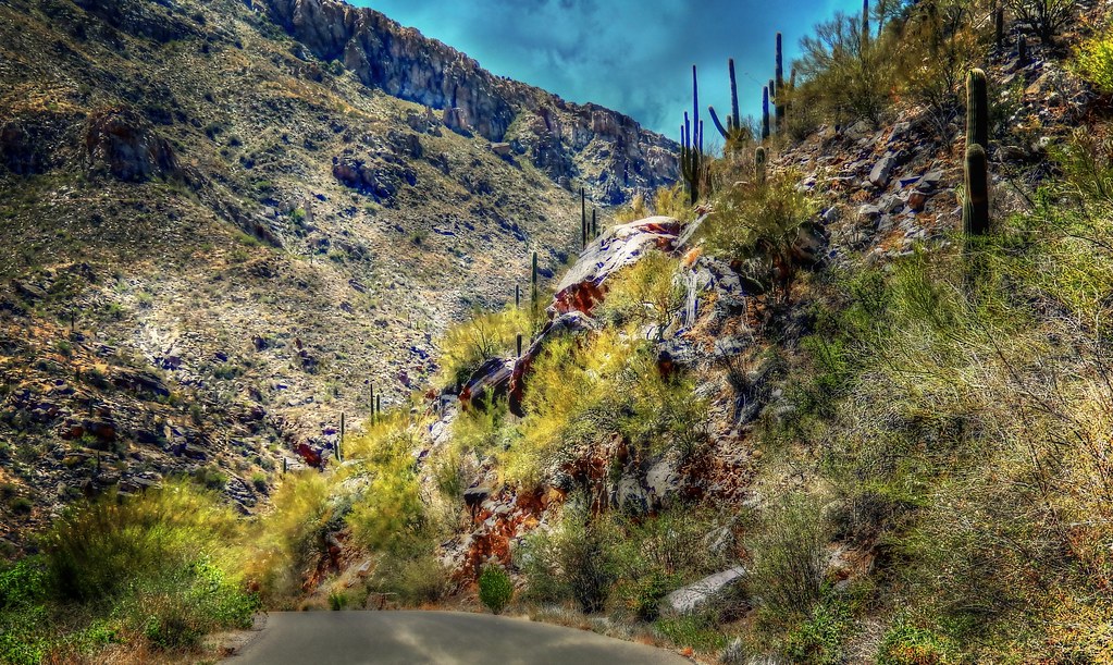
Mt Hopkins Rd, Amado - AZ
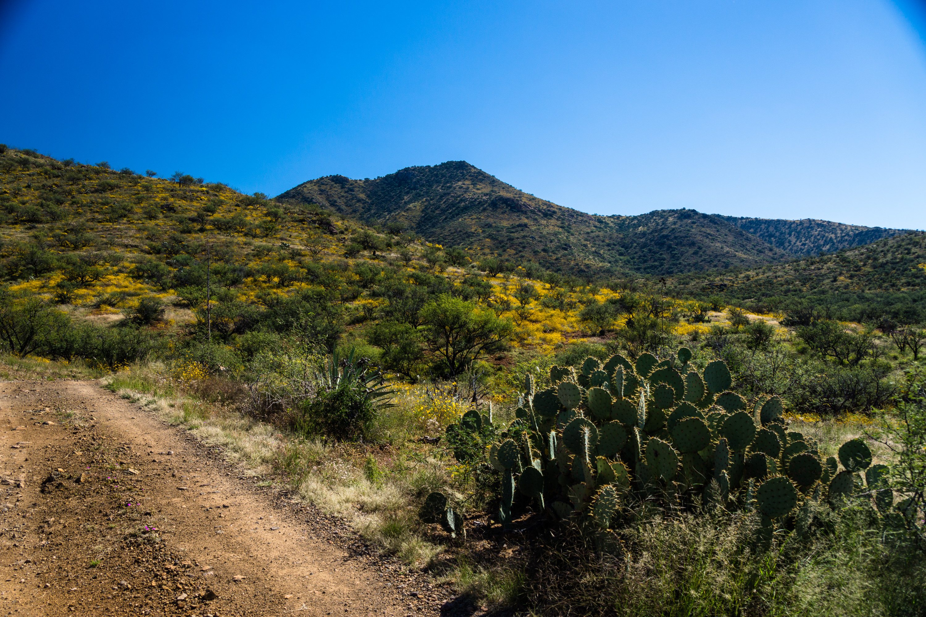
arizona unitedstates tubac santaritamountains bullspringsroad
The Blooming Desert
arizona motion water creek landscape flow rocks stream hiking pebbles hike adventure route slowshutter handheld brook cascade actionshot maderacanyon coronadonationalforest cascading offtrail quotable smallwaterfall santaritamountains mountwrightson nottoolongexposure neargreenvalley thisisthesonorandesert
an unexpected tune
arizona mountains rocks desert tucson peak summit santaritamountains mountwrightson canonrebelt4i
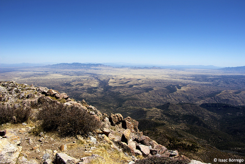
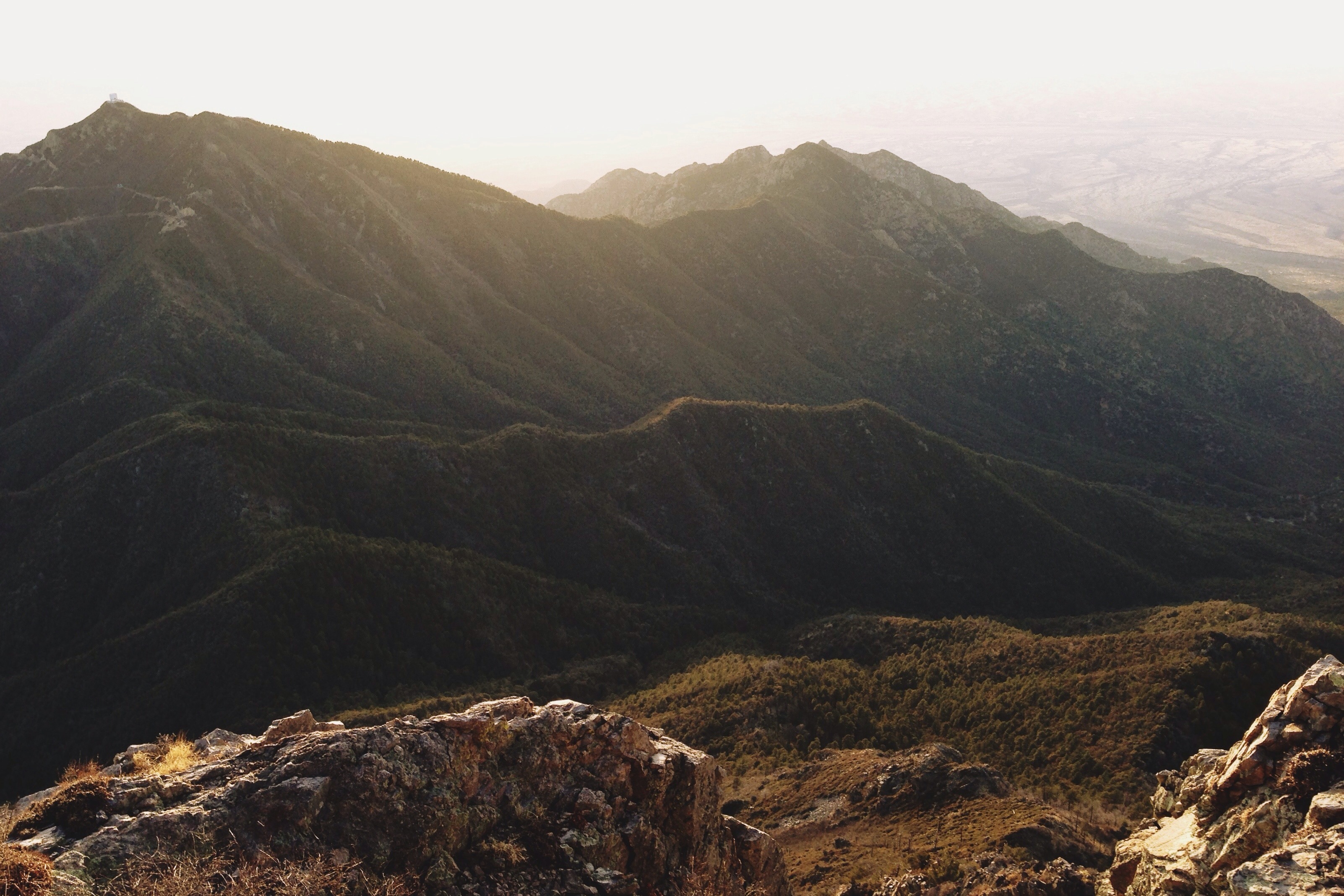
View from Mount Wrightson
arizona patagonia field yellow gold golden weeds grasses colorfield
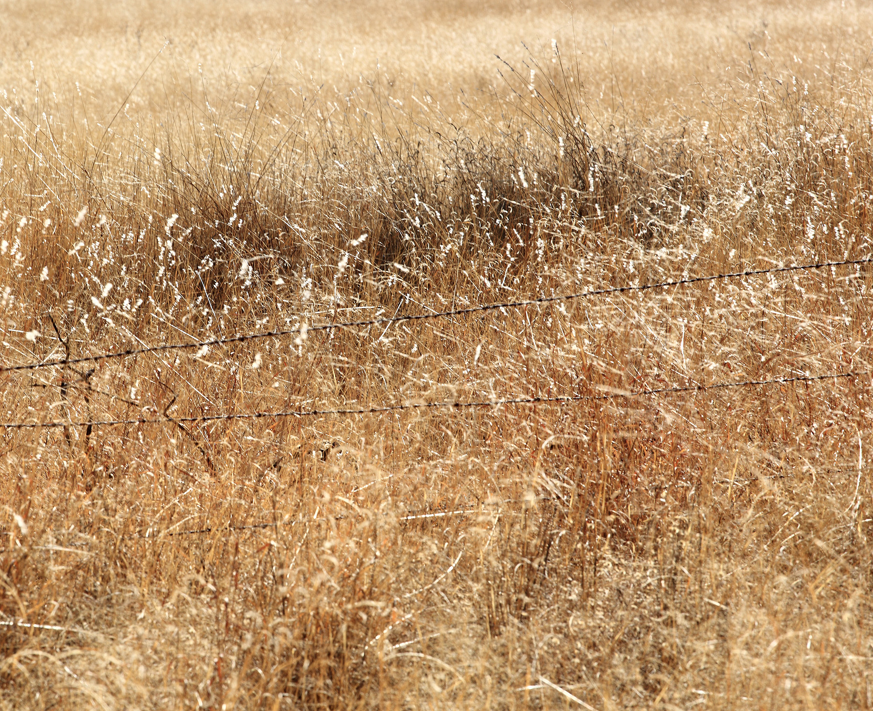
Color Field, Golden Grasses
statepark arizona lake landscape patagonialake patagoniastatepark nikond7000 nikkor18to200mmvrlens
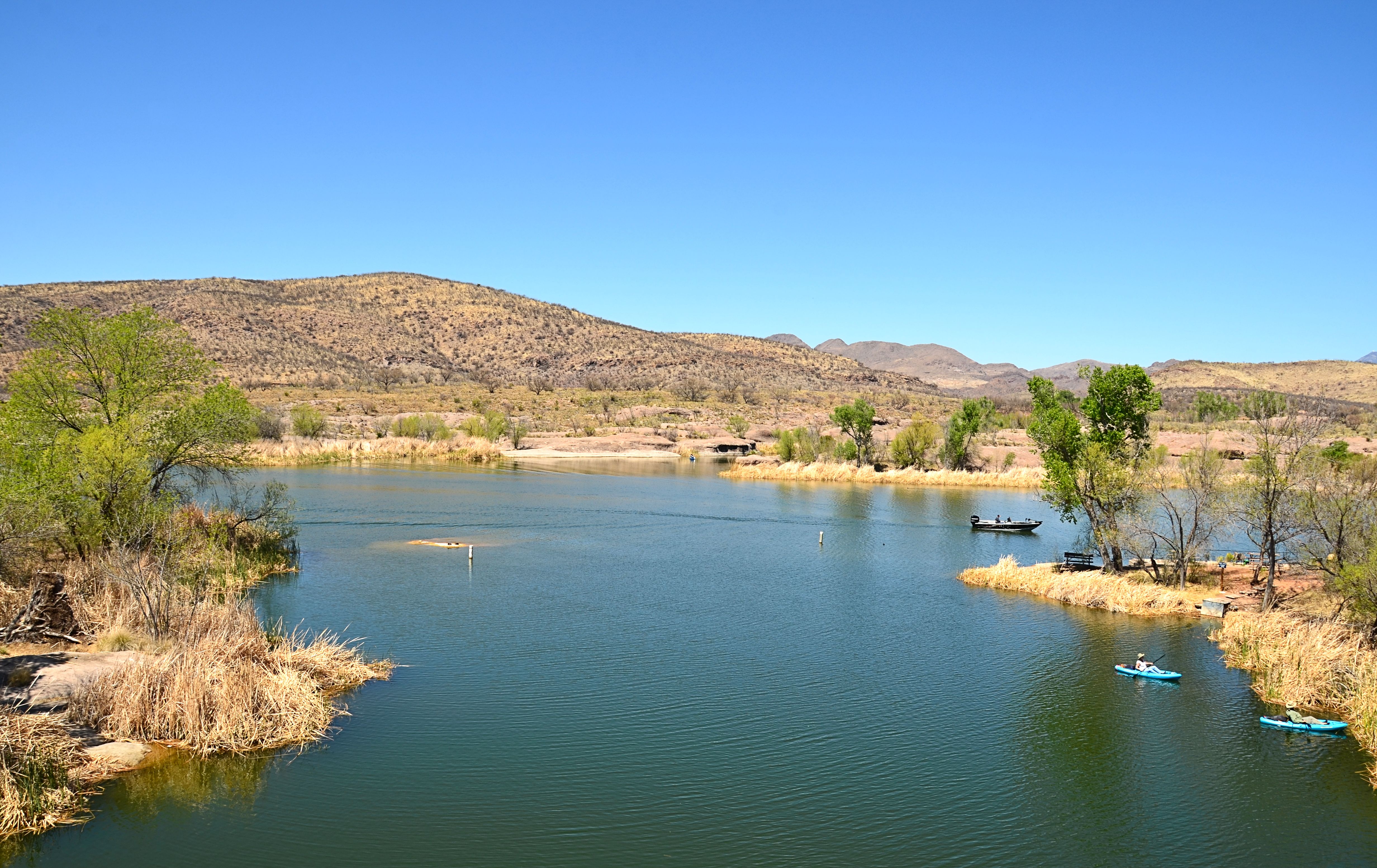
Patagonia Lake SP: View Opposite Marina
stitch Patagonia House view
square squareformat iphoneography instagramapp uploaded:by=instagram foursquare:venue=4f53e23ce4b0639bbae1a035
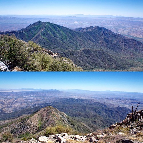
View from the top of #mountwrightson ...#arizona #instagramaz #maderacanyon
autostitch
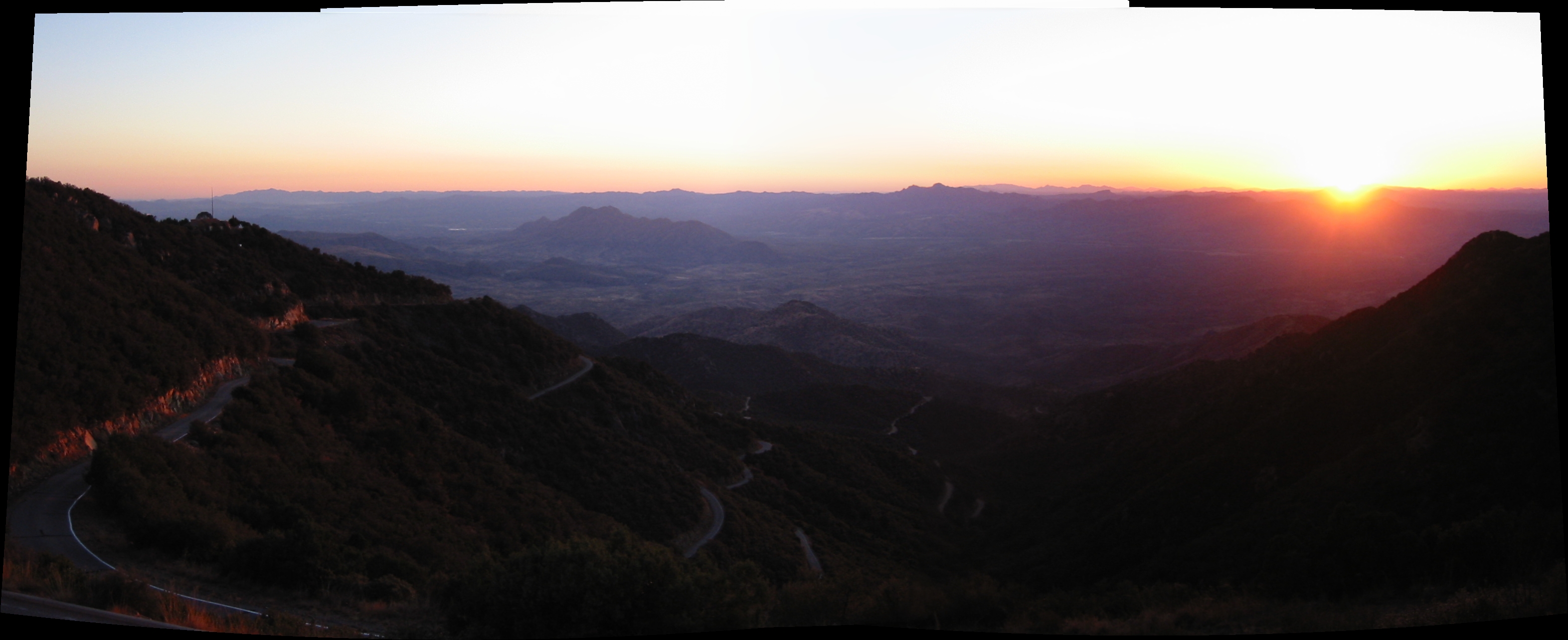
Sunset from Mt. Hopkins
trees arizona mountain southwest tree nature landscape geotagged desert widescreen az cottonwood vistas preserve naturepreserve americanwest natureconservancy patagoniaarizona naturallandscape desertsouthwest thenatureconservancy randomnature riparianhabitat patagoniaaz sonoitacreek az07 geo:tool=gmif patagoniasonoitacreekpreserve letterboxphoto fremontcottonwood geo:lat=31529367 geo:lon=110770061 random6
Patagonia-Sonoita Creek Preserve
santa arizona mountain mountains raw rita
Santa Rita Mountain peak
Road to Harshaw - Way South in Arizona
park blue arizona usa black silhouette skyline night catchycolors landscape outside photo interesting nikon flickr image shots outdoor grandcanyon country picture sedona places nightshots scenes gundersen audubon ecotravel connecticutaudubon bobgundersen robertgundersen
Catus Hand
uploaded:by=flickrmobile flickriosapp:filter=nofilter mtwrighstonsummit
From Mt Wrightson. Coronado National Forest, Arizona
square squareformat iphoneography instagramapp uploaded:by=instagram
#patagonia #landscape #arizona #moo
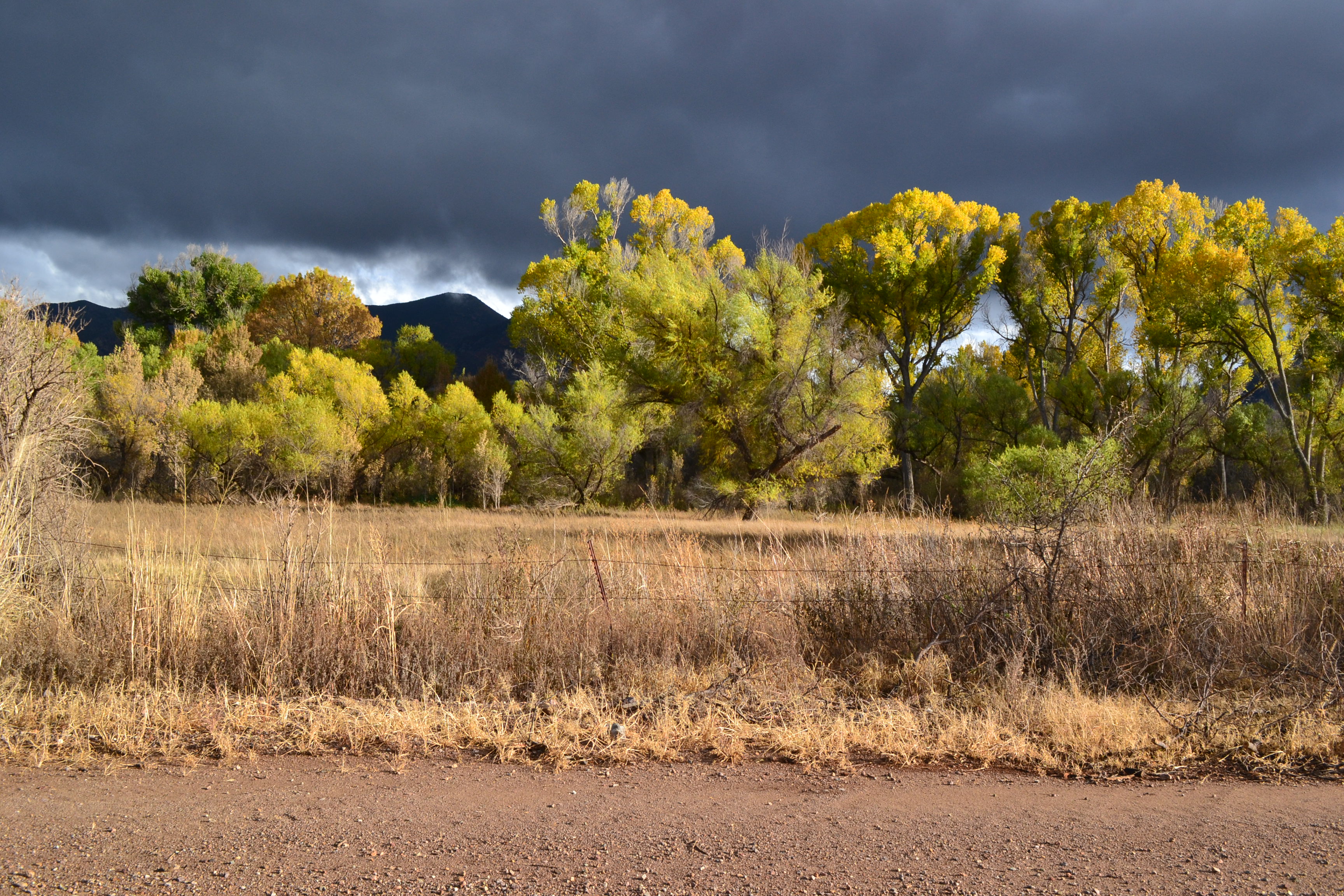
stormy day - road to Sonoita Creek Preserve
uploaded:by=flickrmobile flickriosapp:filter=nofilter mtwrighstonsummit
Whipple mt from mt wrightson