Elevation of Camino la Paz, Patagonia, AZ, USA
Location: United States > Arizona > Santa Cruz County > Patagonia >
Longitude: -110.74942
Latitude: 31.5584655
Elevation: 1274m / 4180feet
Barometric Pressure: 87KPa
Elevation Map:
Satellite Map:
Related Photos:

Water Fowl Swimming In A World Of Color

View Of Patagonia Lake

'front view comparison'

Bridge At Patagonia Lake State Park
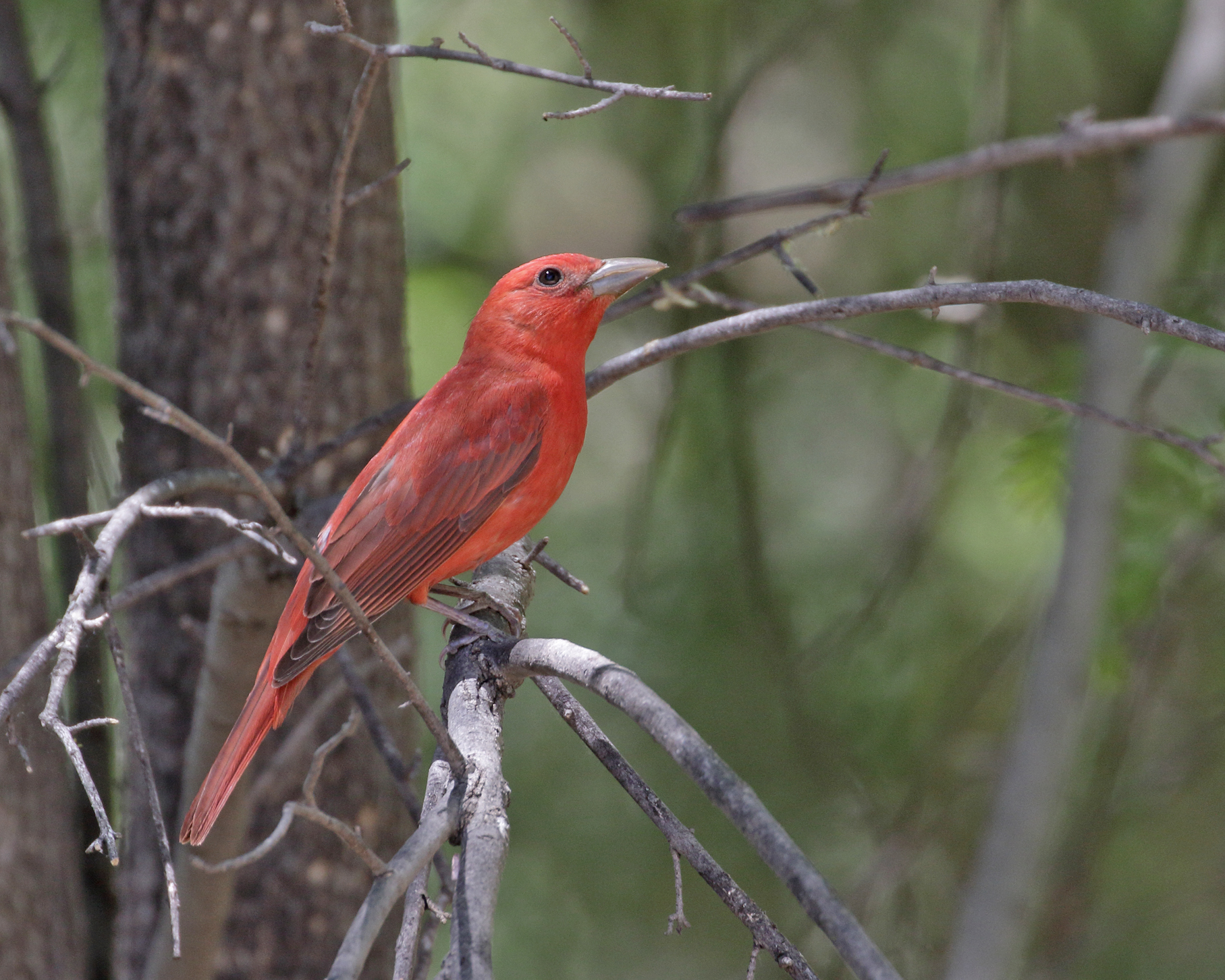
Summer Tanager
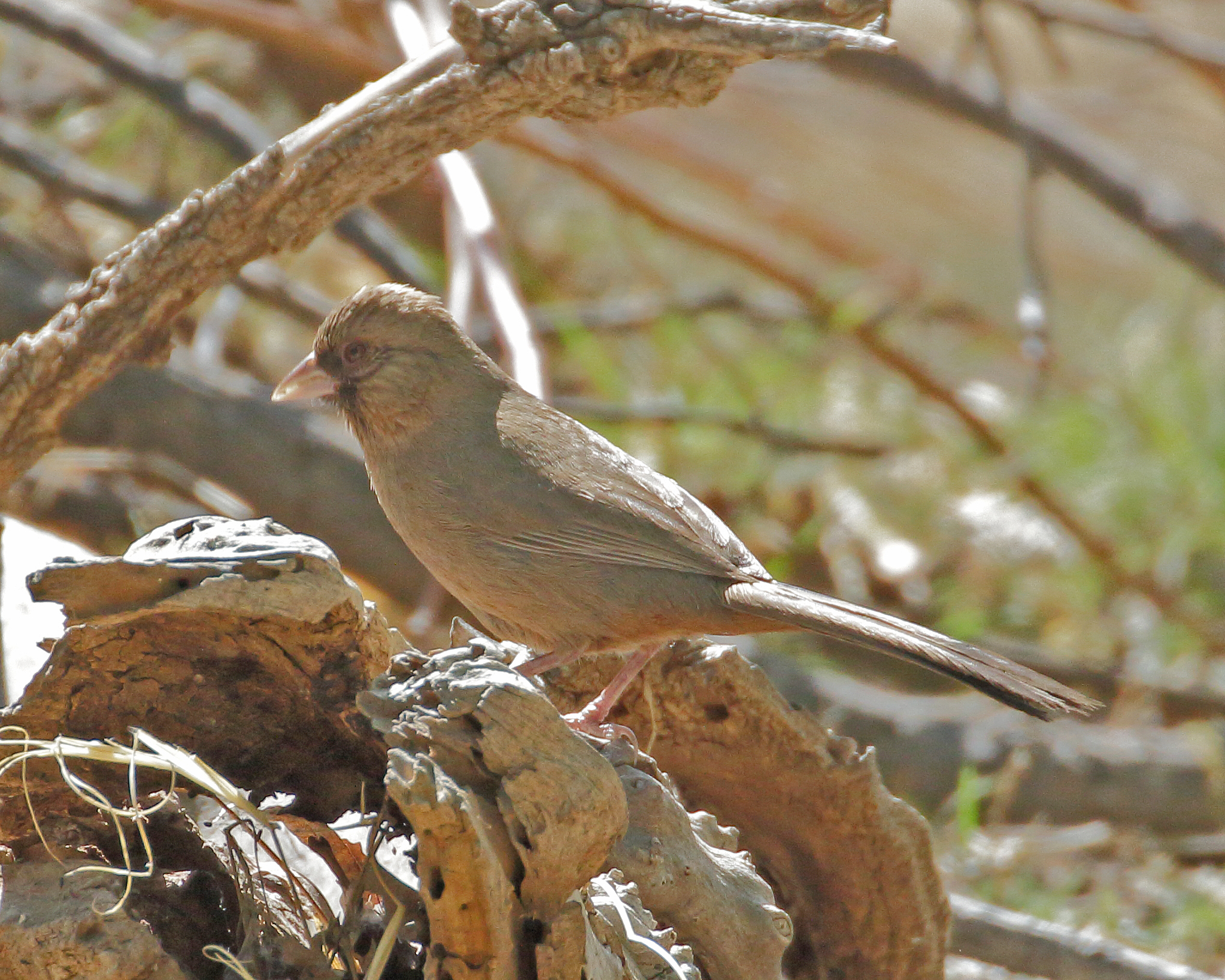
Abert's Towhee
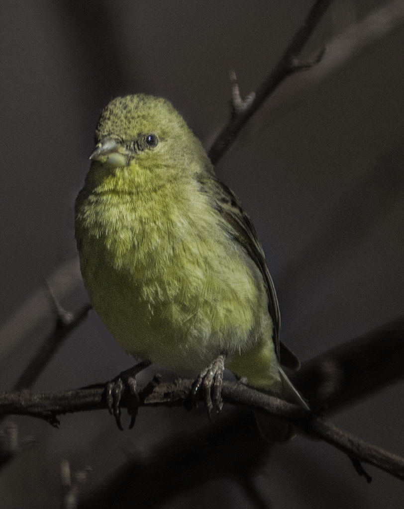
Little Yelllow Bird
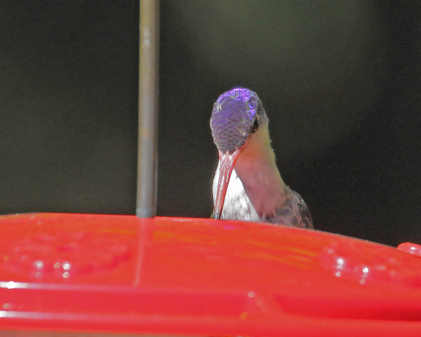
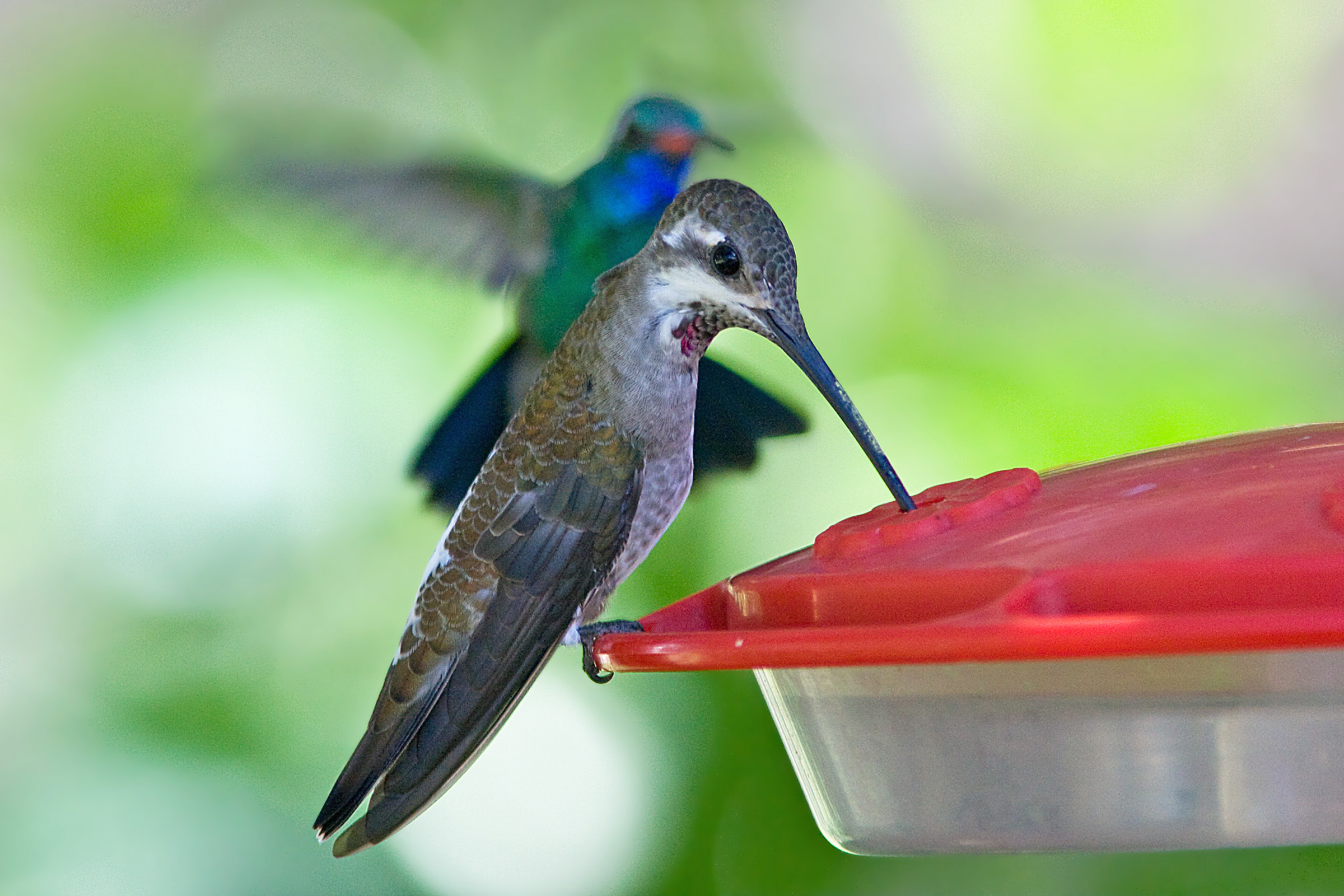
Violet-crowned Hummingbird

Patagonia Lake SP: View Opposite Marina
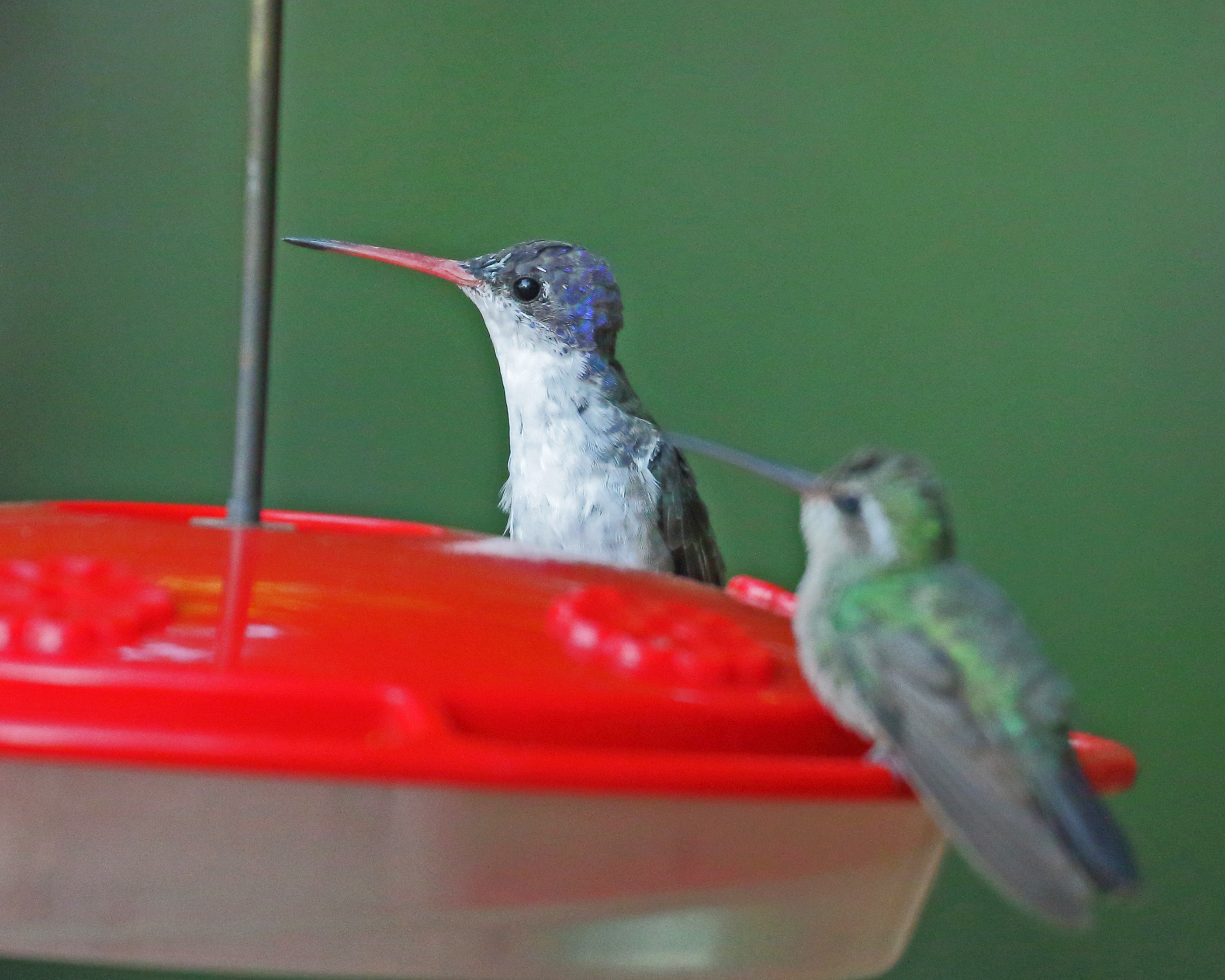
Violet-crowned Hummingbird

Inca Dove

Color Field, Golden Grasses

Patagonia-Sonoita Creek Preserve
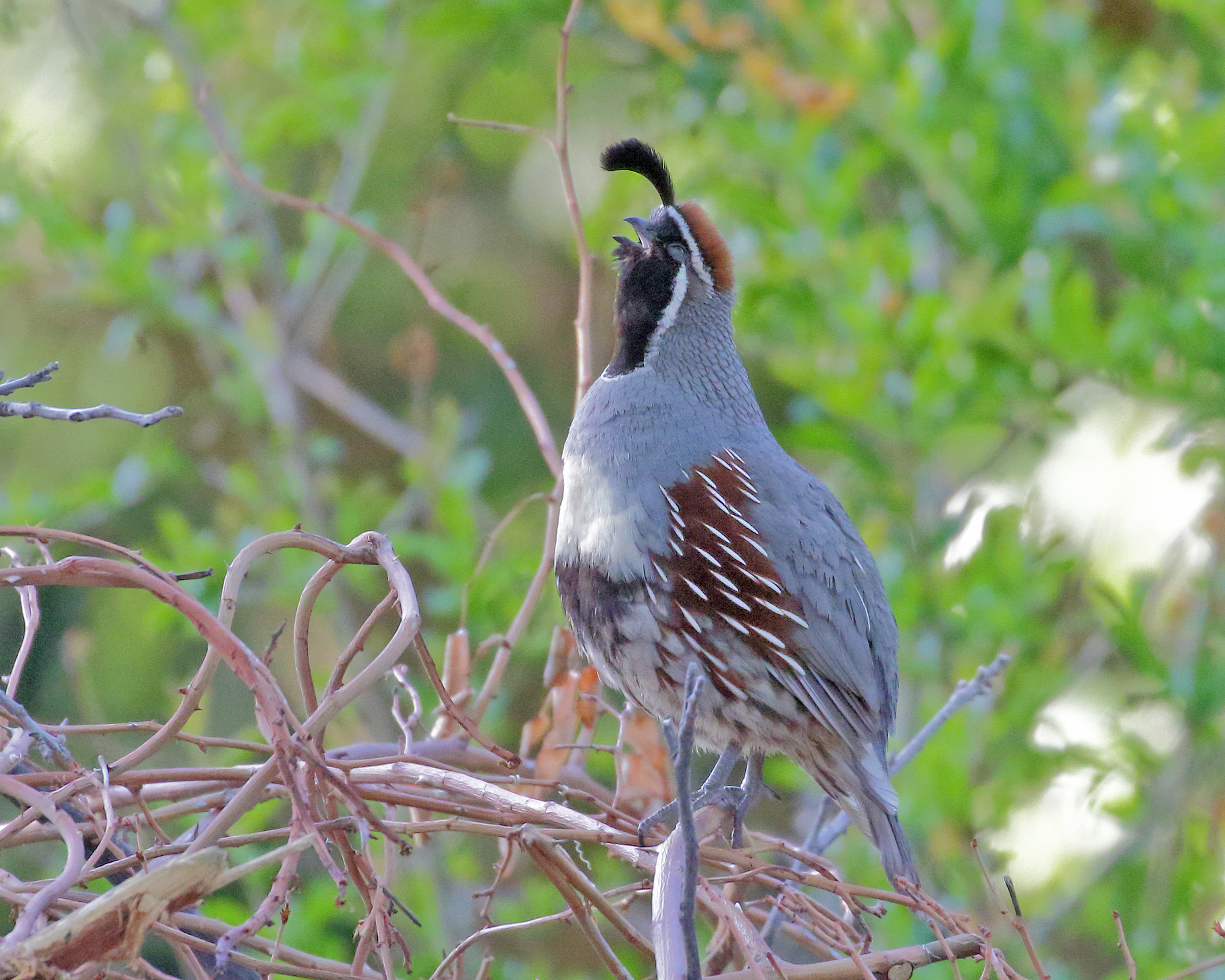
Gambel's Quail
Looking Back
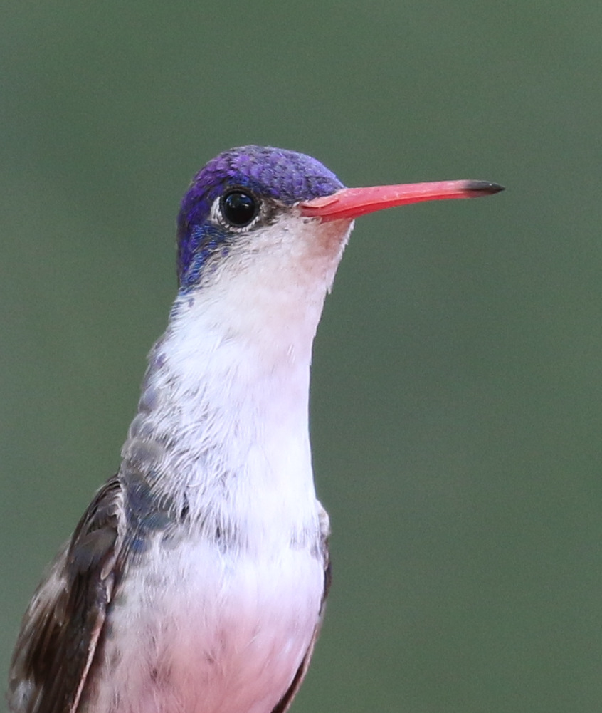
Violet-crowned Hummingbird

Simple Weeds
IMG_3573 Plain-capped Starthroat Hummingbird
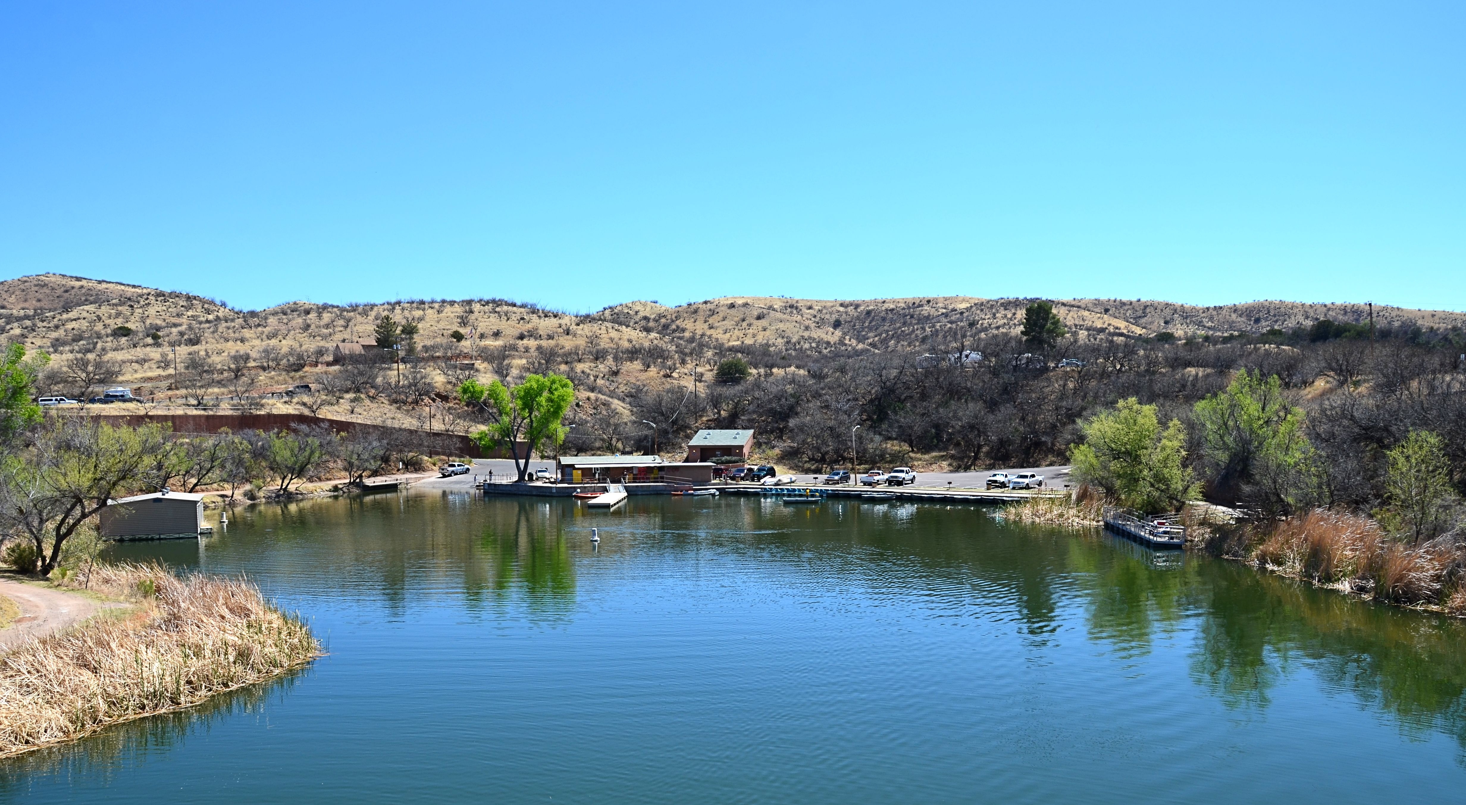
Patagonia Lake SP: View of Marina

Saddle Mountain and the Huachucas

Sonoita Platinum

Southern Arizona Sunset

Patagonia Lake State Park (12)

Overlooking Sonora

Catus Hand
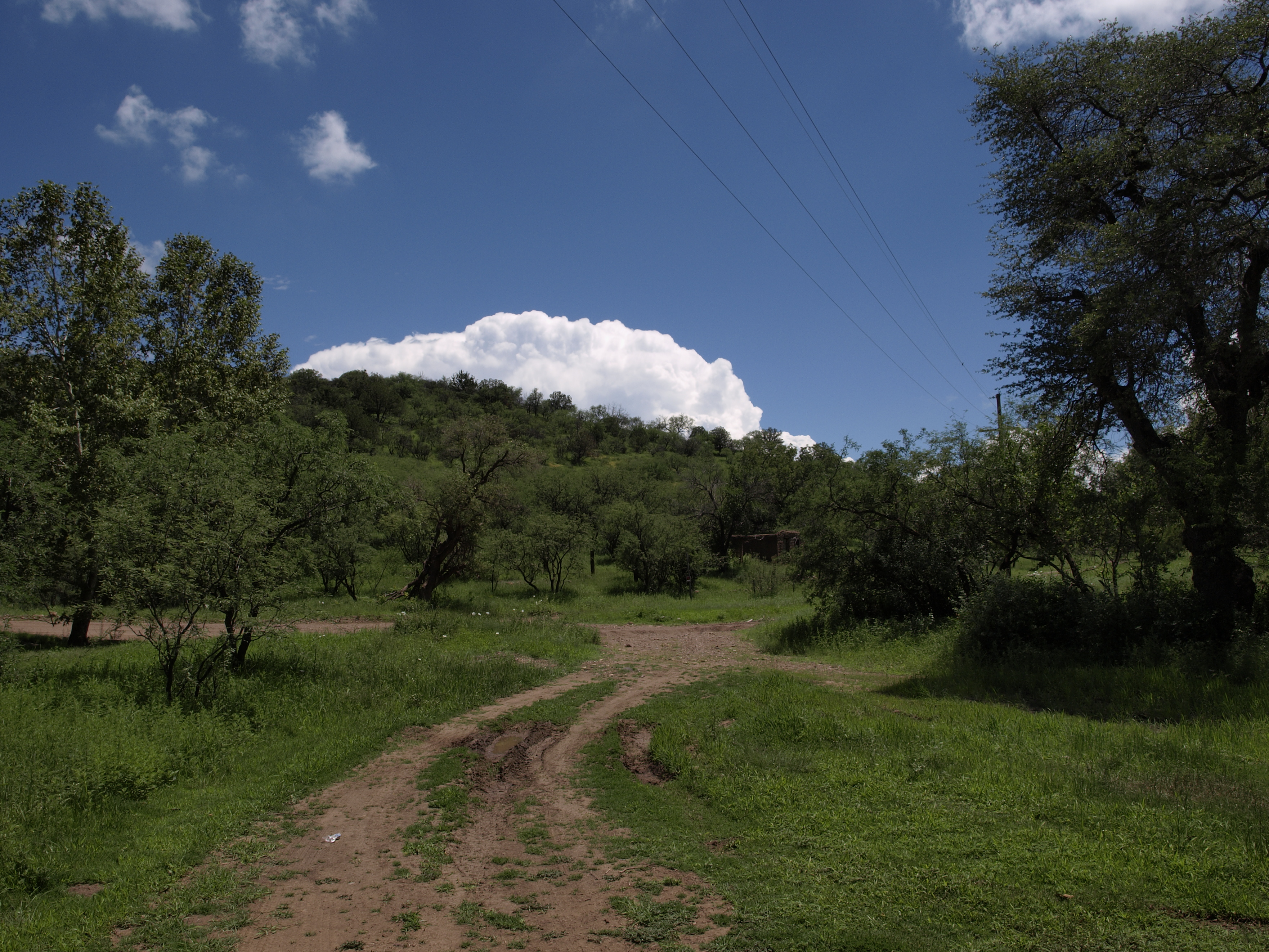
Near Harshaw Arizona

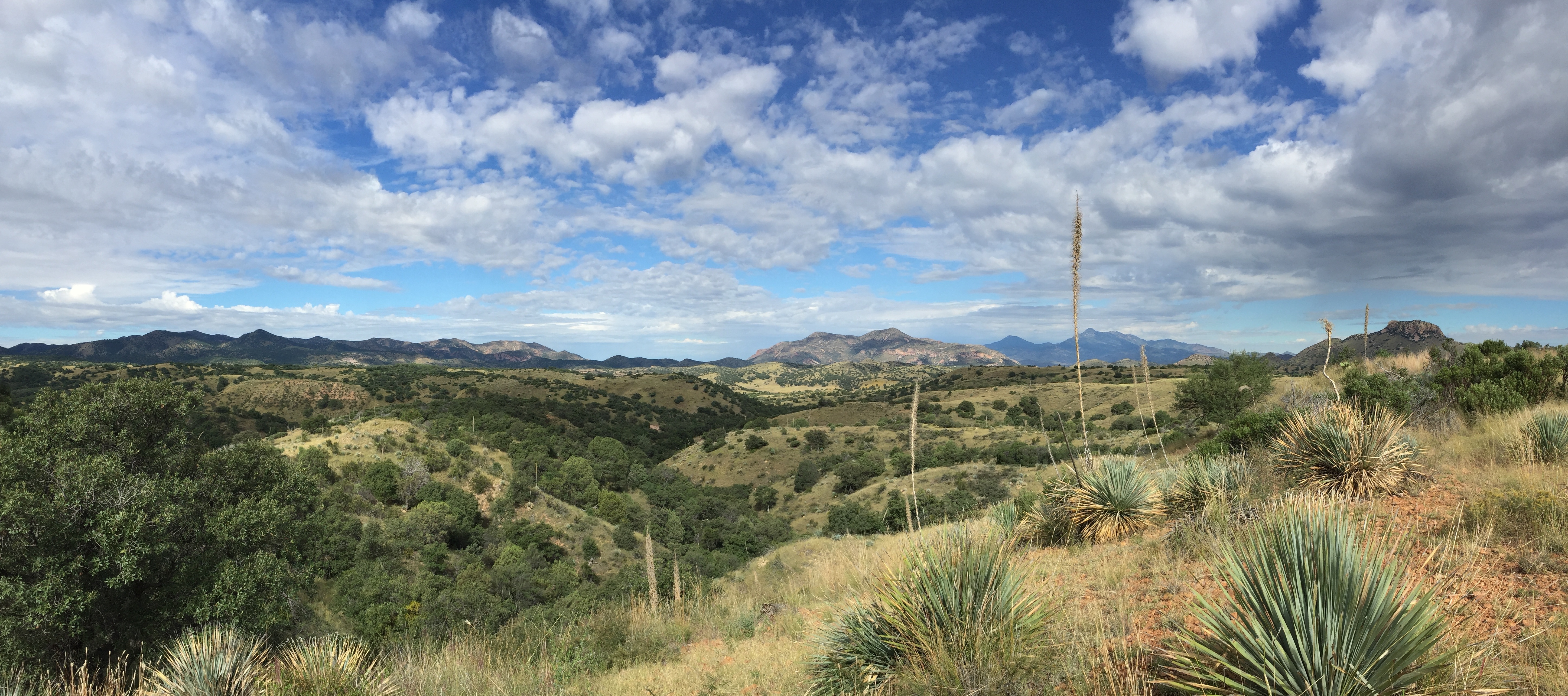
Southeastern Arizona Landscape (Santa Cruz County, Arizona)

Small canyon off of Gringo Gulch; Temporal Canyon Road, FSR 72, Santa Rita Mountains, W of Patagonia, AZ

Area between Cottonwood Canyon and Bull Springs Road, FSR 143, Santa Rita Mountains, Coronado NF, SW of Patagonia, AZ
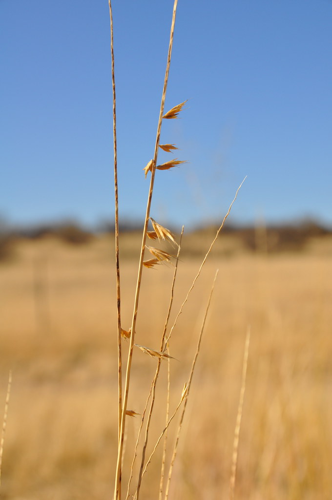
Dry Grasses

Red Mountain Accommodations

6. View across Patagonia Lake from east of the swimming area

Patagonia Lake State Park (3)

Patagonia Lake State Park (19)

Patagonia Lake State Park (1)
San Rafael Grasslands - southern AZ
Topographic Map of Camino la Paz, Patagonia, AZ, USA
Find elevation by address:

Places near Camino la Paz, Patagonia, AZ, USA:
Naugle Ave, Patagonia, AZ, USA
Patagonia
33 Kimball Dr
Santa Cruz County
Patagonia Lake State Park
4 Debra Ct
19 Circulo Montana
19 Circulo Montana
121 Tejano Springs
1266 Morning Star Dr
213 Camino Kennedy
1124 Raro Ct
436 Camino Osito
416 Camino Osito
Camino Kennedy
Rio Rico
Rio Rico Northeast
188 Via Agua Sarca
Circulo Canada
1668 Circulo Puerto
Recent Searches:
- Elevation of Sadovaya Ulitsa, 20, Rezh, Sverdlovskaya oblast', Russia
- Elevation of Ulitsa Kalinina, 79, Rezh, Sverdlovskaya oblast', Russia
- Elevation of 72-31 Metropolitan Ave, Middle Village, NY, USA
- Elevation of 76 Metropolitan Ave, Brooklyn, NY, USA
- Elevation of Alisal Rd, Solvang, CA, USA
- Elevation of Vista Blvd, Sparks, NV, USA
- Elevation of 15th Ave SE, St. Petersburg, FL, USA
- Elevation of Beall Road, Beall Rd, Florida, USA
- Elevation of Leguwa, Nepal
- Elevation of County Rd, Enterprise, AL, USA