Elevation of 65 Sunrise Ln, Elgin, AZ, USA
Location: United States > Arizona > Santa Cruz County > Elgin >
Longitude: -110.58628
Latitude: 31.5984424
Elevation: 1557m / 5108feet
Barometric Pressure: 84KPa
Elevation Map:
Satellite Map:
Related Photos:

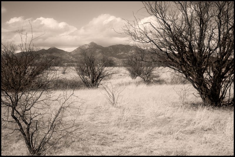
Simple Weeds
Sonoita Platinum
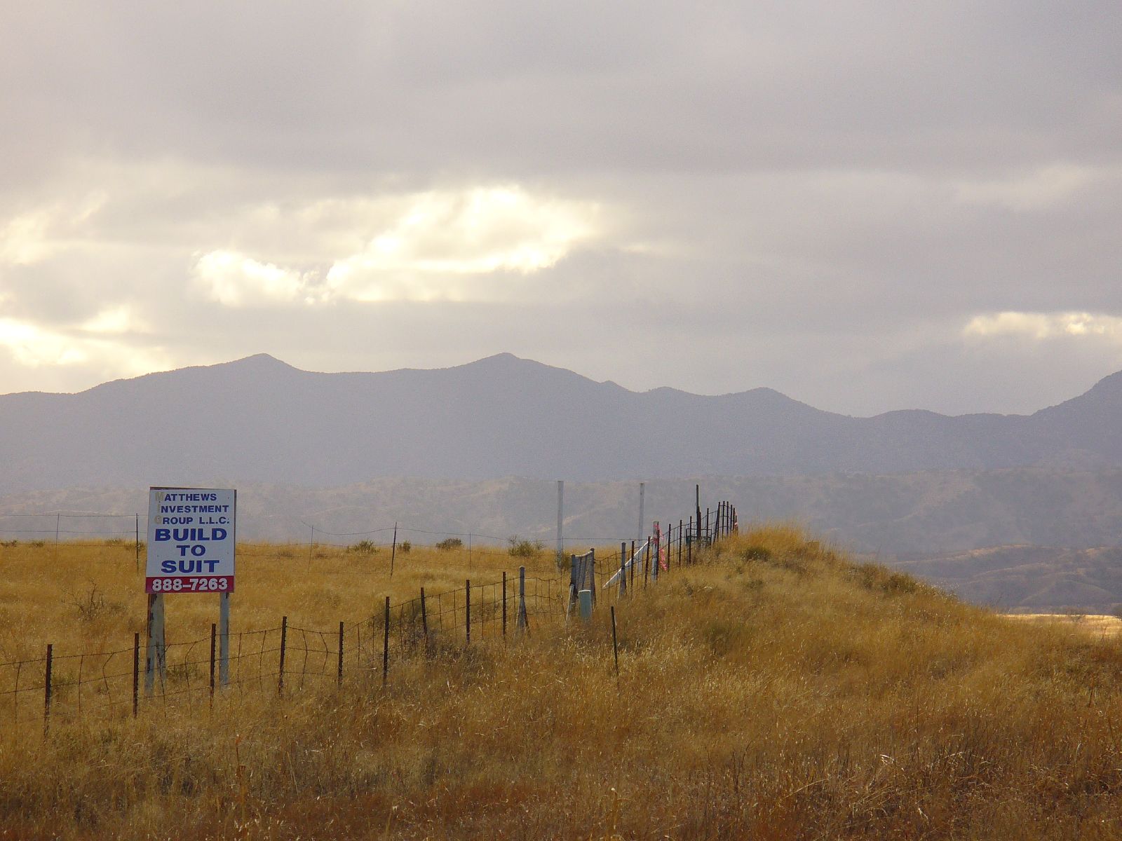
Red Mountain Road
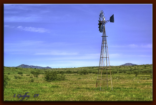
Wind Power!!

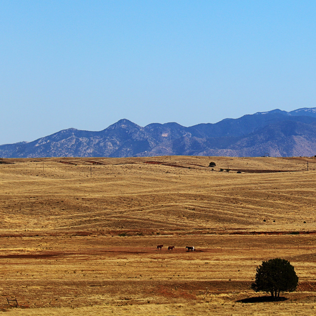
Color Field, Golden Grasses
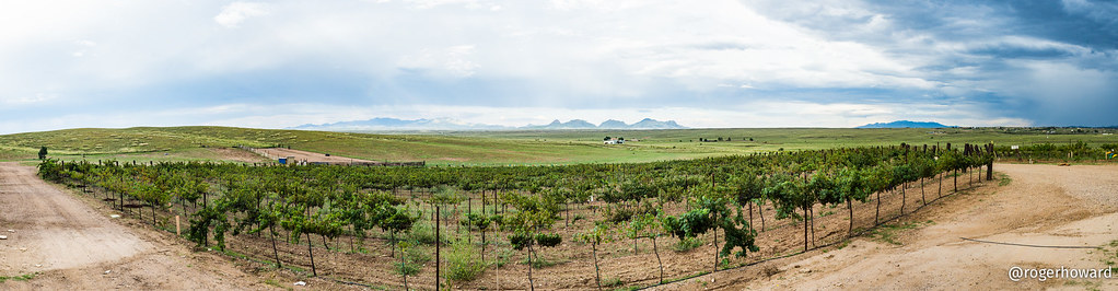
View from Sonoita Vineyards

Dream A Little Dream

Wine Press
...sigh...
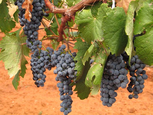
Wine Grapes
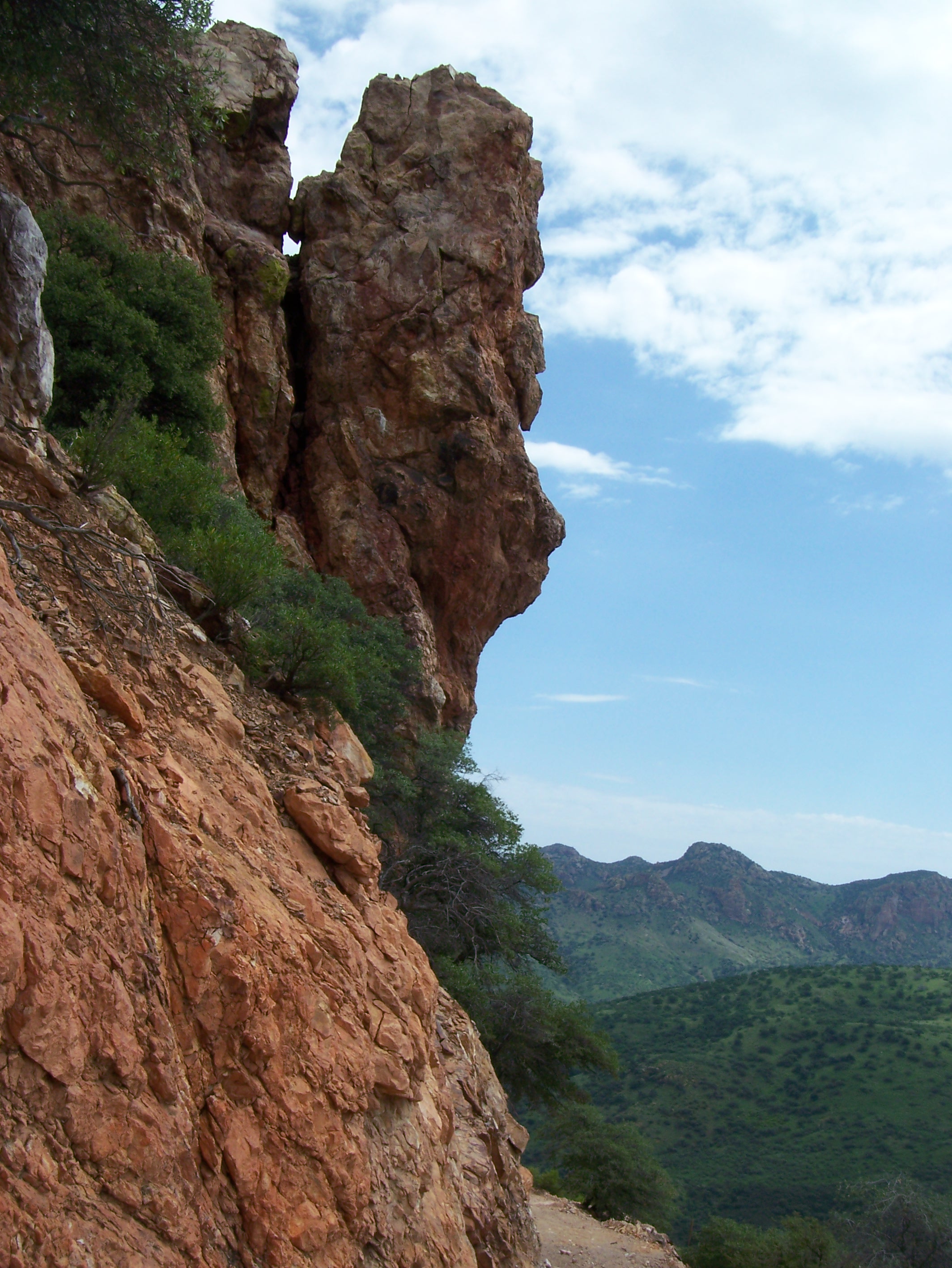
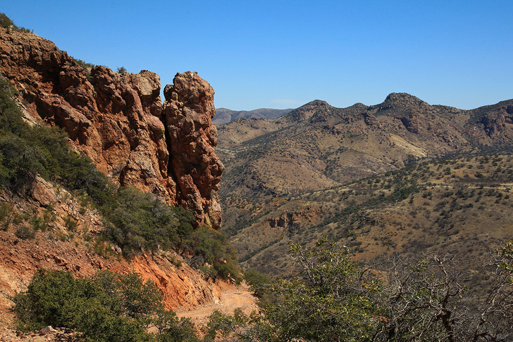
A view of Bad Rock

Little Yelllow Bird
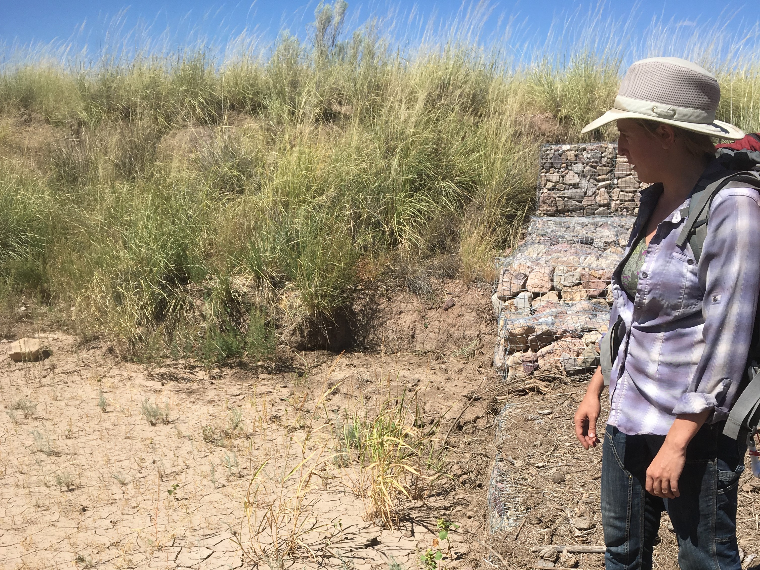
Landscape: Allegra Mount stands on Gabion

End of the Road
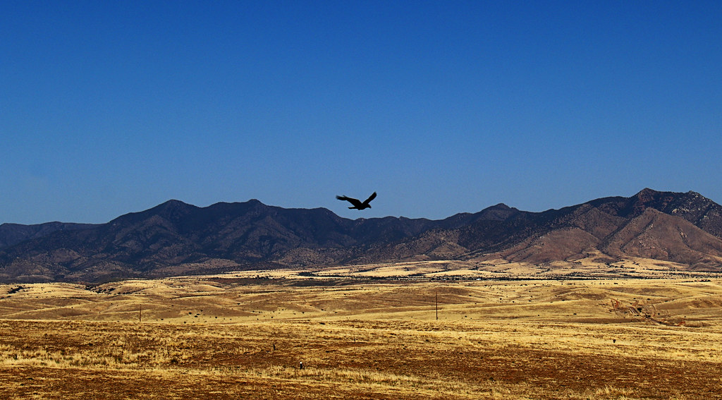
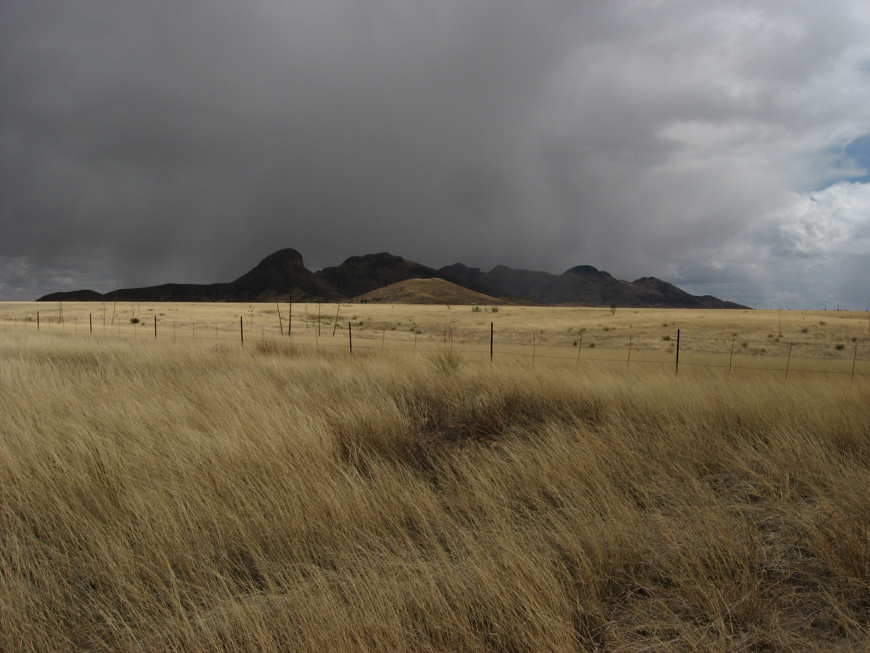
Soaring Over the Grasslands
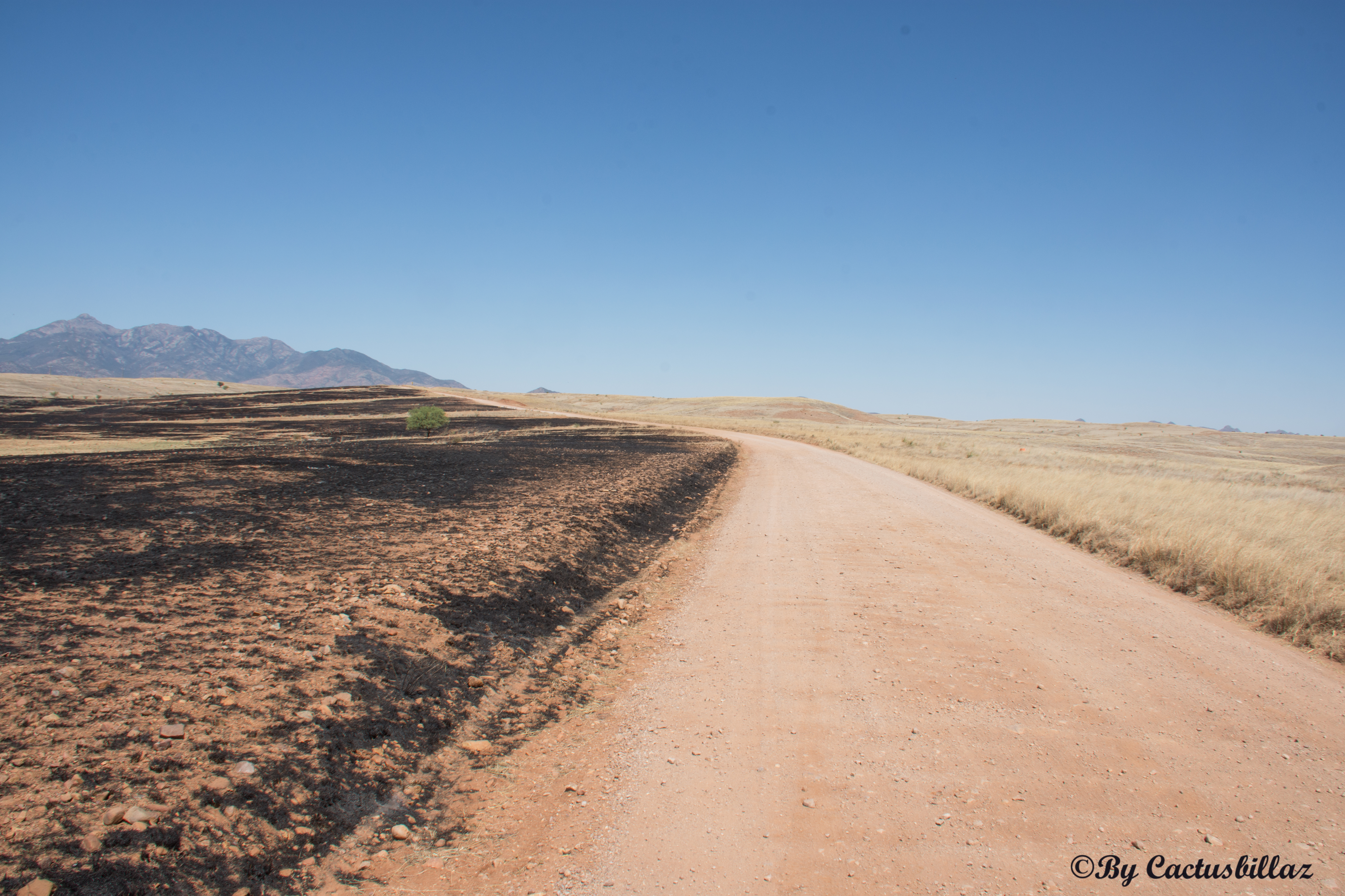
Sonotia AZ Fire

Behind the Vineyard
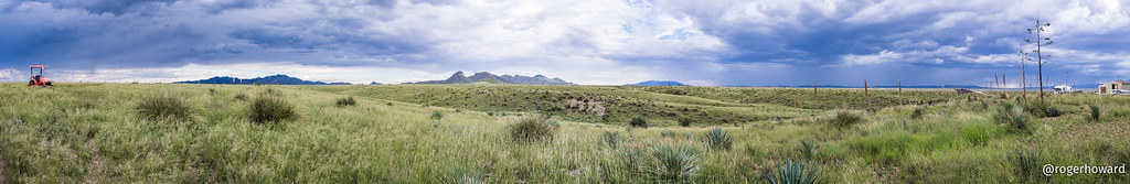
20150913 Sonoita Pano 3
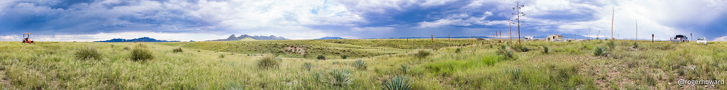
20150913 Sonoita Pano 4
Open Grazing

On the way to Sonoita Vineyards

Driving in Arizona
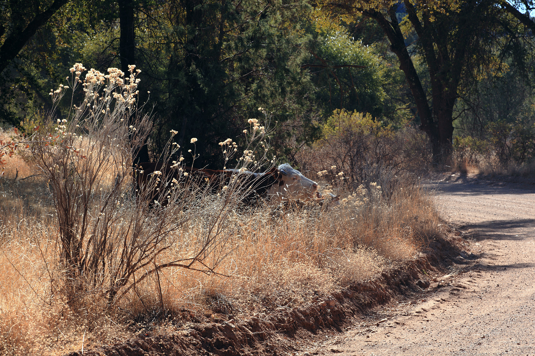
Cow on the Curve
20150913 Sonoita Pano 6

Southern Arizona Sunset
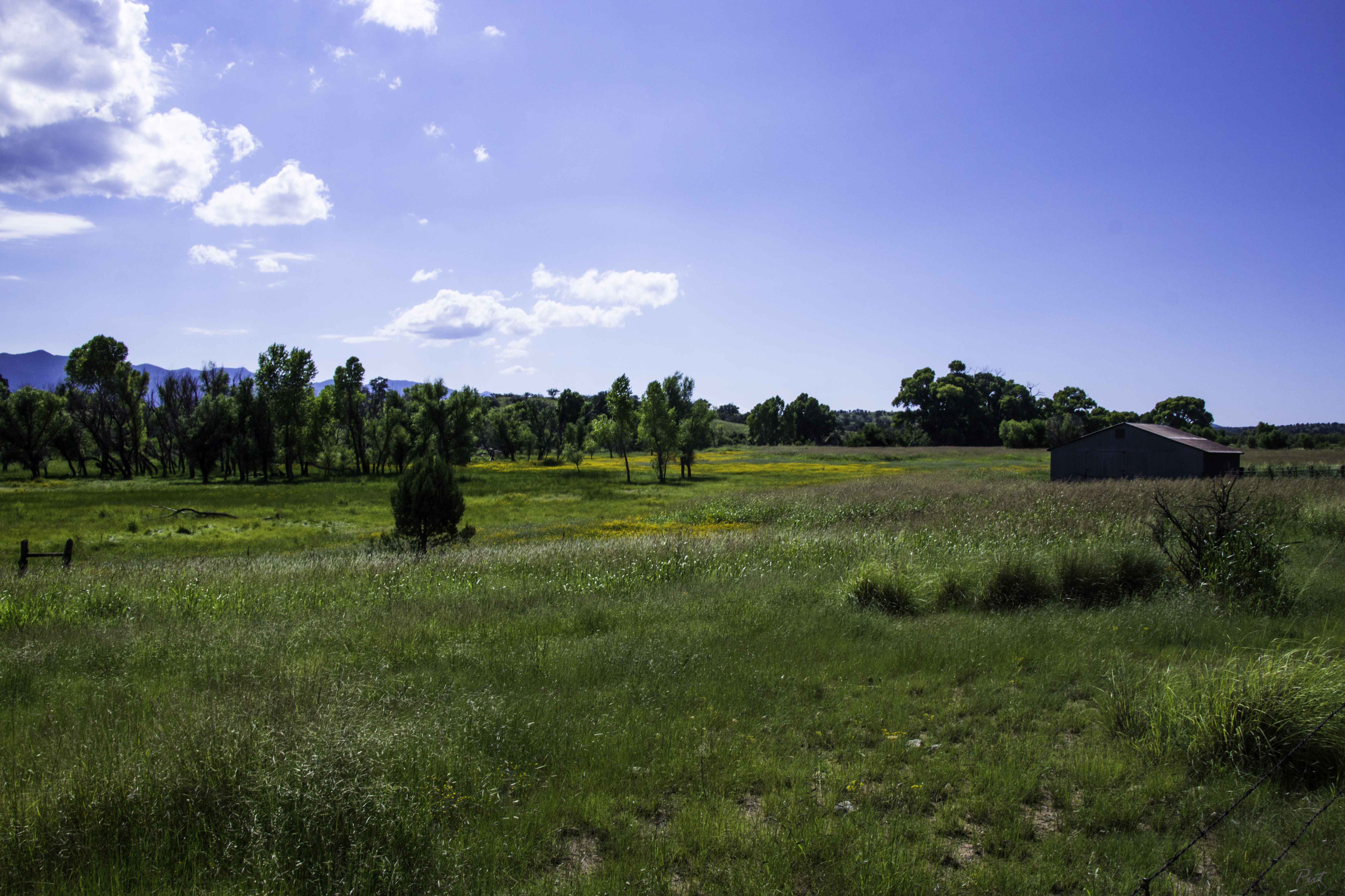
Arizona Farm

Antelope and the Mustang Mountains, Near Sonoita Arizona
S.R. 82 Between Sonoita and Tombstone, Arizona
Topographic Map of 65 Sunrise Ln, Elgin, AZ, USA
Find elevation by address:

Places near 65 Sunrise Ln, Elgin, AZ, USA:
Valley Lane
103 Papago Springs Rd
103 Papago Springs Rd
10 Buffalo Ct #54
91 Agave Ln
62 Homestead Ln
331 Elgin Rd
35 Roadog Way
AZ-83, Elgin, AZ, USA
Elgin
11 Papago Springs Rd
Santa Cruz County Fair And Rodeo Association
Dos Cabezas Wineworks
Sonoita
40 Brushy Canyon Rd
40 Brushy Canyon Rd
369 Upper Elgin Rd
111 Hog Canyon Rd
Harshaw Creek Road
Wood Canyon Road
Recent Searches:
- Elevation of Redondo Ave, Long Beach, CA, USA
- Elevation of Sadovaya Ulitsa, 20, Rezh, Sverdlovskaya oblast', Russia
- Elevation of Ulitsa Kalinina, 79, Rezh, Sverdlovskaya oblast', Russia
- Elevation of 72-31 Metropolitan Ave, Middle Village, NY, USA
- Elevation of 76 Metropolitan Ave, Brooklyn, NY, USA
- Elevation of Alisal Rd, Solvang, CA, USA
- Elevation of Vista Blvd, Sparks, NV, USA
- Elevation of 15th Ave SE, St. Petersburg, FL, USA
- Elevation of Beall Road, Beall Rd, Florida, USA
- Elevation of Leguwa, Nepal