Elevation of Wood Canyon Road, Wood Canyon Rd, Patagonia, AZ, USA
Location: United States > Arizona > Santa Cruz County > Patagonia >
Longitude: -110.72457
Latitude: 31.6288969
Elevation: 1369m / 4491feet
Barometric Pressure: 86KPa
Elevation Map:
Satellite Map:
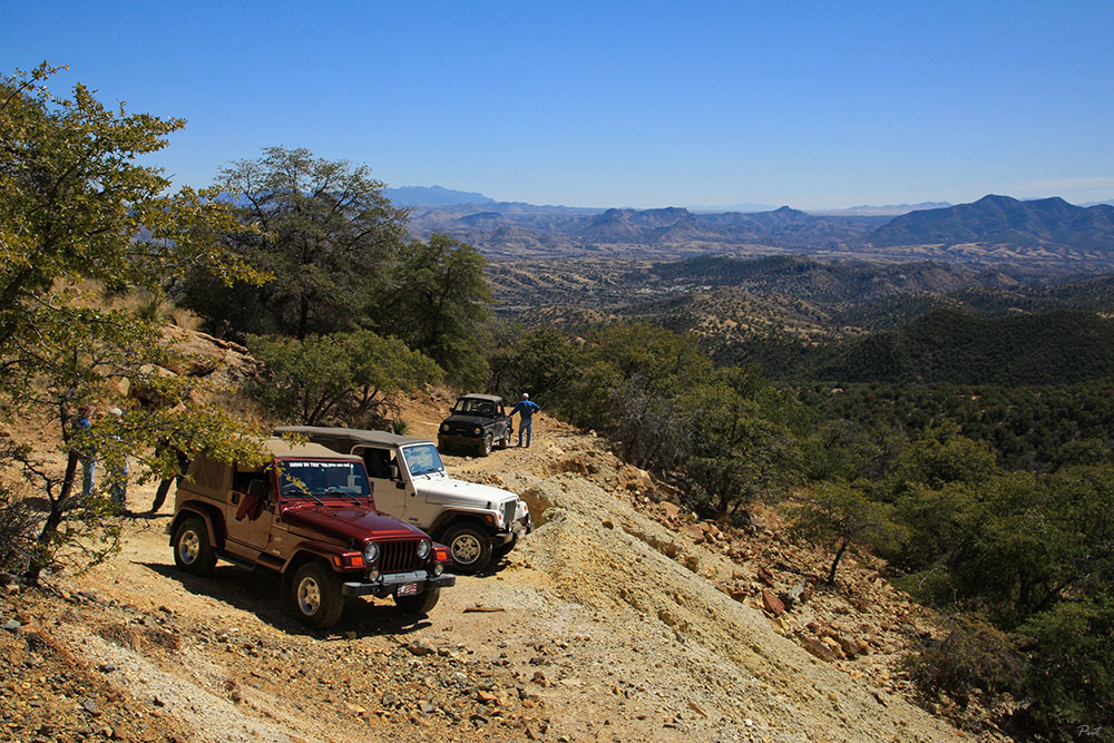
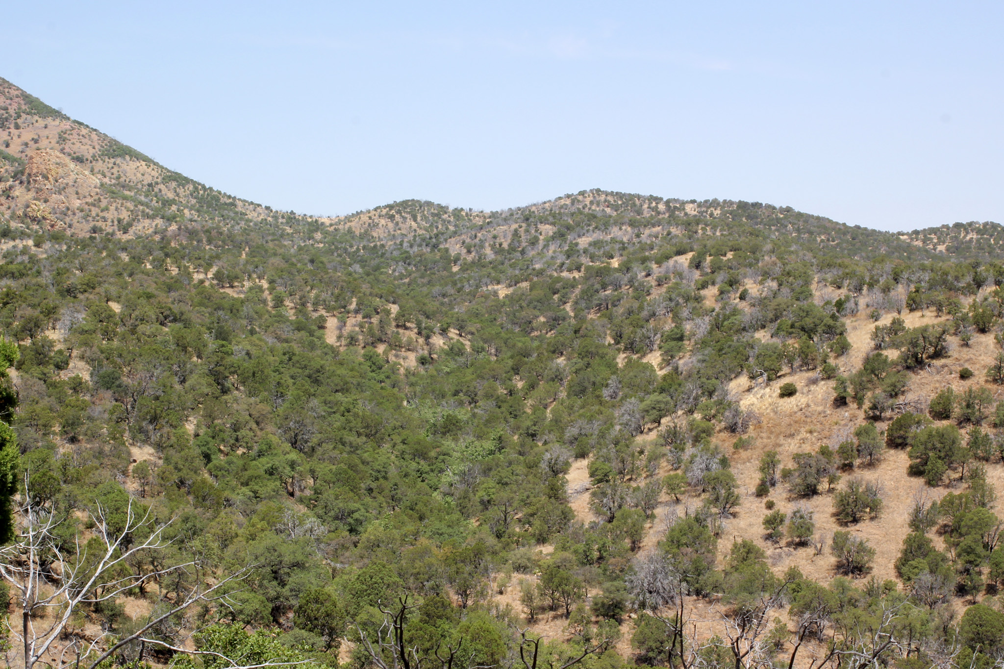
Related Photos:
Whirled Whipple Observatory

View from the top, Mount Wrightson
View from the Mount Wrightson trail
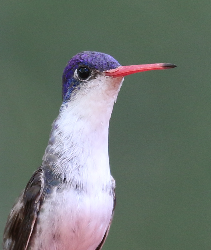
Violet-crowned Hummingbird

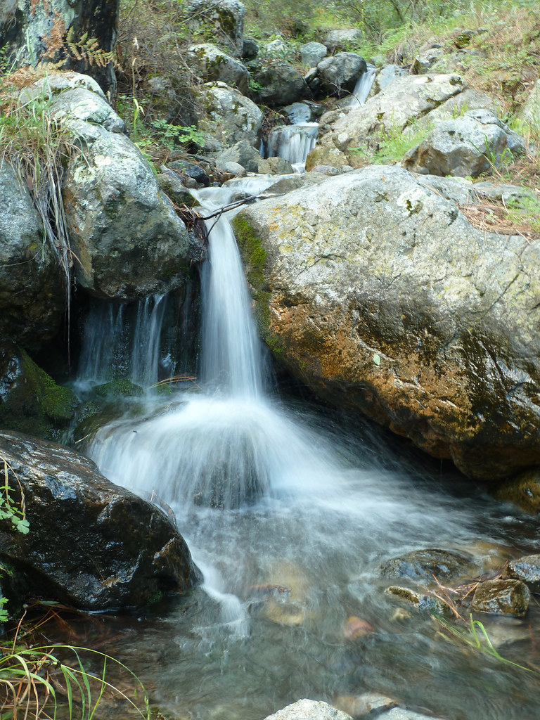
Aliso Spring

View from the top, Mount Wrightson
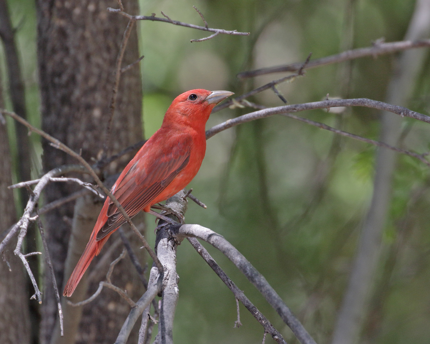
Summer Tanager

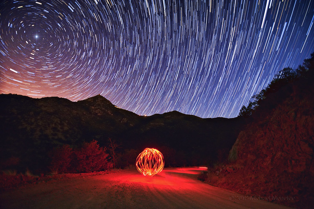
Wind Power!!

Pine Flycatcher
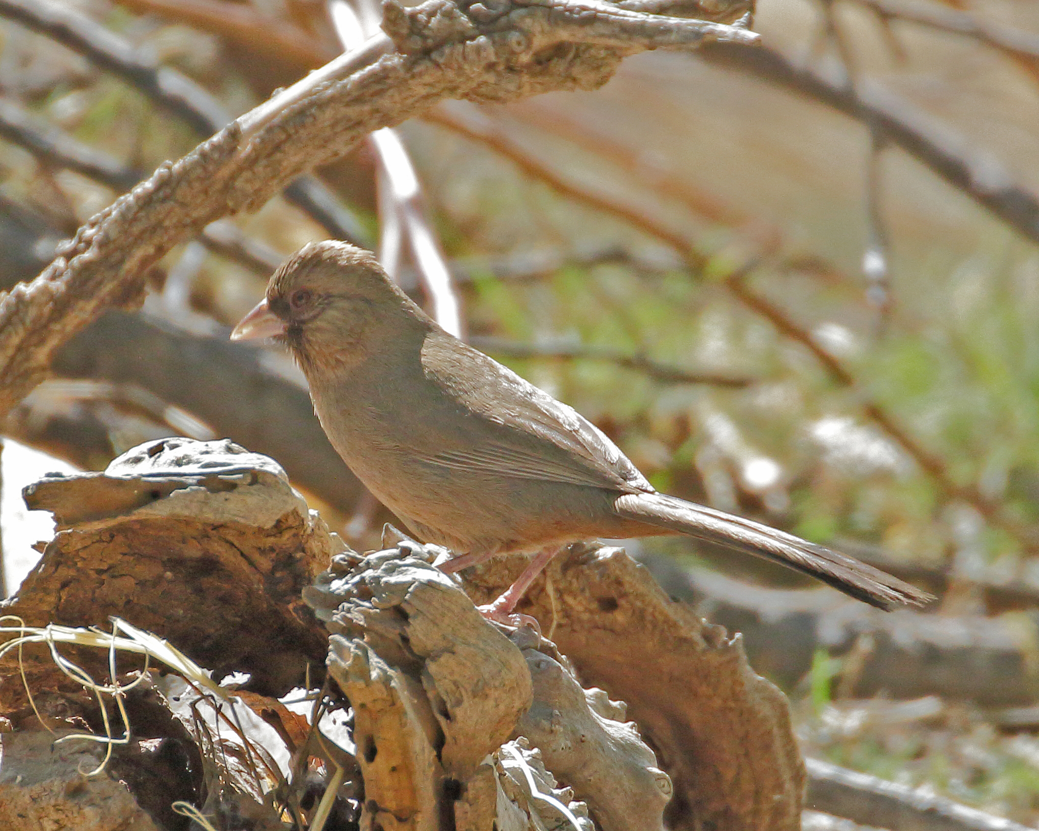
Abert's Towhee
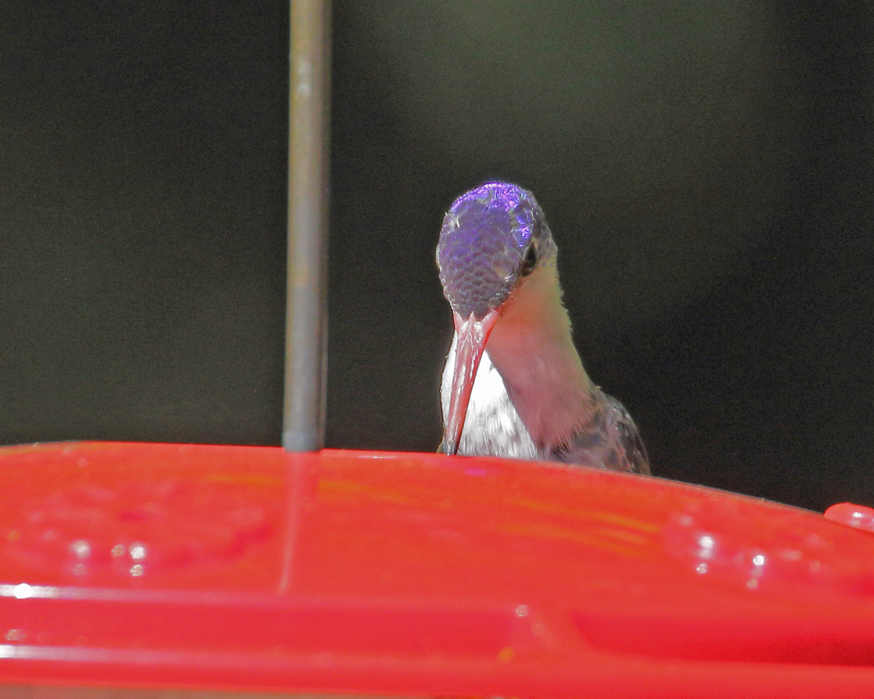
Violet-crowned Hummingbird

Pine Flycatcher (Empidonax affinis)

View from Mount Wrightson

Pine Flycatcher (Empidonax affinis)

Pine Flycatcher

Pine Flycatcher

Pine Flycatcher Nest
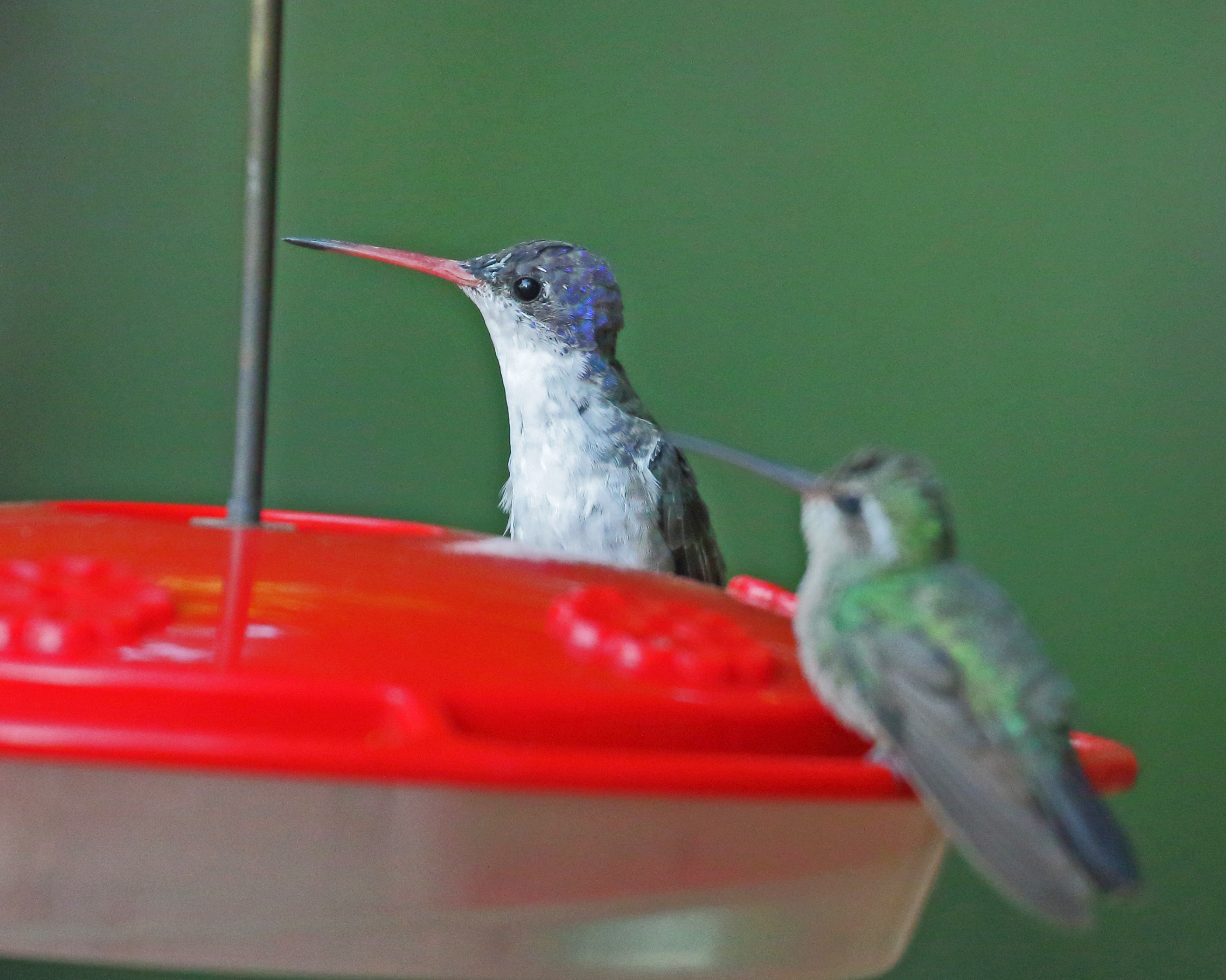
Violet-crowned Hummingbird

View from Mount Wrightson, Arizona

Inca Dove
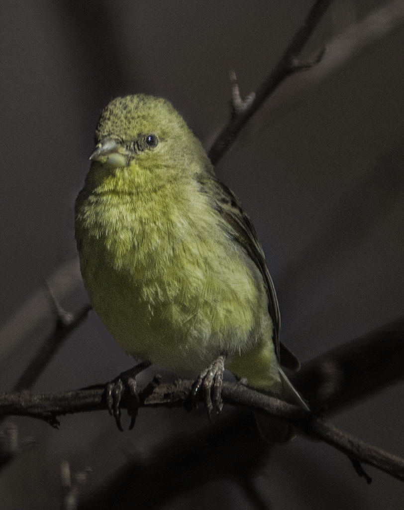
Little Yelllow Bird
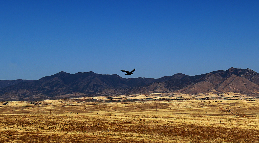
Soaring Over the Grasslands
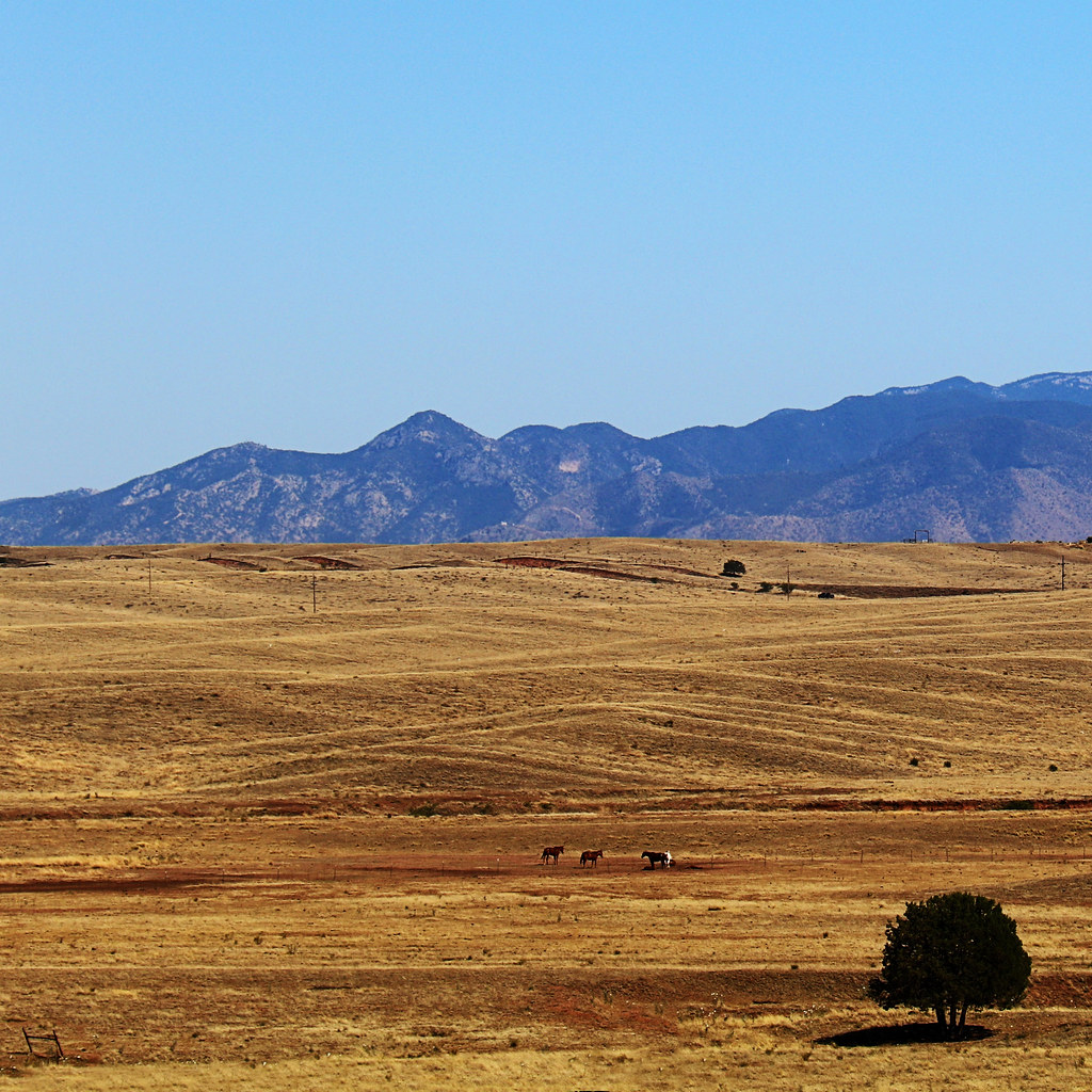
Open Grazing
Madera Canyon AZ 854A0145
an unexpected tune

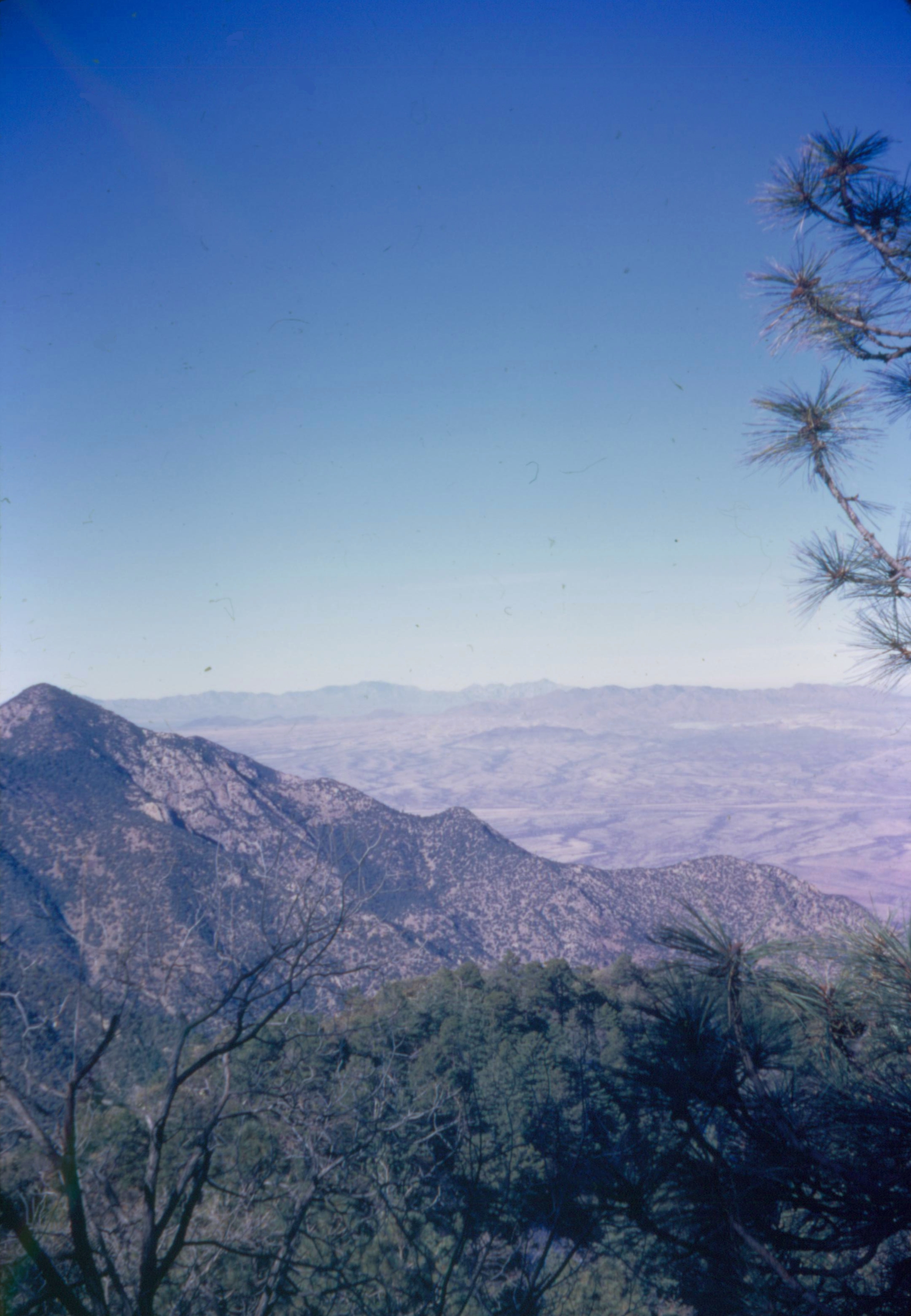
Southeastern Arizona Landscape (Santa Cruz County, Arizona)

Adobe ruins of the Old Alto Arizona Post Office near upper Josephine Canyon on Salero Canyon Road towards Cottonwood Canyon, FSR 143, Santa Rita Mountains, Coronado NF, SW of Patagonia, AZ

Color Field, Golden Grasses

Patagonia-Sonoita Creek Preserve

Small canyon off of Gringo Gulch; Temporal Canyon Road, FSR 72, Santa Rita Mountains, W of Patagonia, AZ
Looking Back

wash your spirit clean.

Area between Cottonwood Canyon and Bull Springs Road, FSR 143, Santa Rita Mountains, Coronado NF, SW of Patagonia, AZ
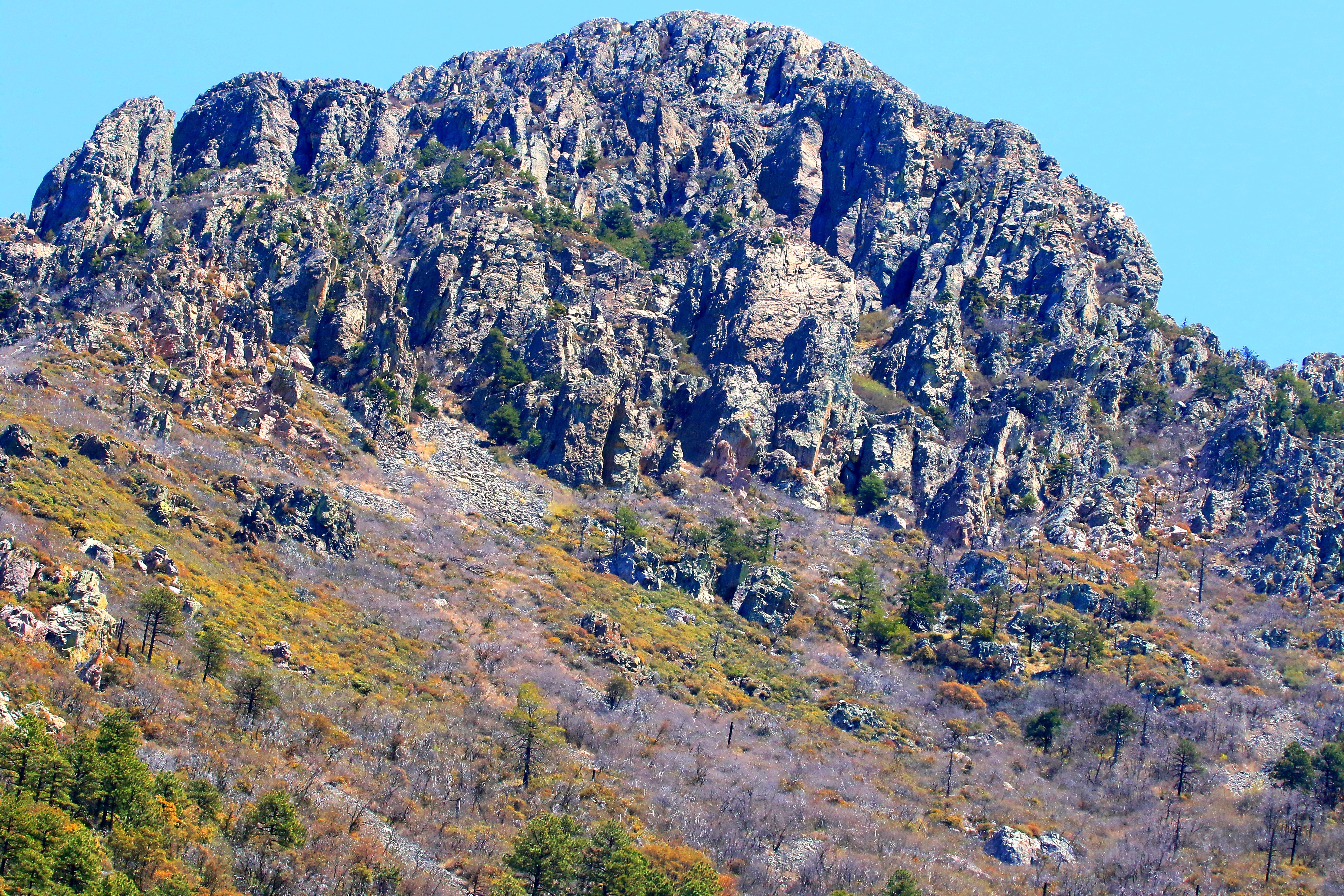
Eastern flank of the Santa Rita Mountains

Southeastern Arizona Landscape (Santa Cruz County, Arizona)
Topographic Map of Wood Canyon Road, Wood Canyon Rd, Patagonia, AZ, USA
Find elevation by address:

Places near Wood Canyon Road, Wood Canyon Rd, Patagonia, AZ, USA:
111 Hog Canyon Rd
108 Camino La Paz
11 Papago Springs Rd
Santa Cruz County Fair And Rodeo Association
Sonoita
Dos Cabezas Wineworks
Santa Cruz County
Naugle Ave, Patagonia, AZ, USA
Patagonia
10 Buffalo Ct #54
Harshaw Creek Road
103 Papago Springs Rd
103 Papago Springs Rd
14250 E Singing Hills Trail
13500 E Singing Hills Trail
33 Kimball Dr
E Kay Gartrell Pl, Sonoita, AZ, USA
Mount Wrightson
65 Sunrise Ln
270 Harshaw Creek Rd
Recent Searches:
- Elevation of Sadovaya Ulitsa, 20, Rezh, Sverdlovskaya oblast', Russia
- Elevation of Ulitsa Kalinina, 79, Rezh, Sverdlovskaya oblast', Russia
- Elevation of 72-31 Metropolitan Ave, Middle Village, NY, USA
- Elevation of 76 Metropolitan Ave, Brooklyn, NY, USA
- Elevation of Alisal Rd, Solvang, CA, USA
- Elevation of Vista Blvd, Sparks, NV, USA
- Elevation of 15th Ave SE, St. Petersburg, FL, USA
- Elevation of Beall Road, Beall Rd, Florida, USA
- Elevation of Leguwa, Nepal
- Elevation of County Rd, Enterprise, AL, USA